We left Arequipa in Peru heading for the coast. The mechanic at the Royal Enfield dealership suggested that was the way to go. The stark Atacama Desert views were beautiful and the roads winding. But once we descended towards sea level we spotted a flaw in the plan – it became cold and misty, due to the Pacific Ocean’s Humboldt Current. By sea level it had cleared. The ride along the coast was dramatic and beautiful with plenty of space to stop for photos.
The route to the border near Tacna was an easy ride with paved roads but we were somewhat confused at the crossing as we had got used to the concept of one, or several buildings, at the leaving end before proceeding a kilometre or two to the entry set of buildings. Here, we ended up visiting three windows in one building and all was done. Gid was concerned that all stages weren’t completed but I pointed out the centre window stamped us into Chile and the bikes out of Peru. It seemed to work.
We only had a short distance to go to reach Arica on the Chilean coast where we intended to stop. As it was still very early, or so we thought, we decided to visit the mummies just up the road from the town stopping for lunch on the way. Out came the phones as always but it took us quite a while to notice we had lost two hours. Rather than three o’clock it was five o’clock and our destination shut at six. Tomorrow then.
Undeterred by our one day delay we set off towards the mummies taking a more direct route out of town. Spotting some disruption up ahead we proceeded with caution, right up to the tape across the road which blocked the way just before a major bridge rebuild. A truck had just turned off to the right – obviously there was a route through. Having lost sight of the truck we explored the various options on dusty tracks around the old farm buildings before we gave up and headed back. It was twenty minutes or so retracing our steps to the junction that would take us to the mummies museum with no signage indicating the road block anywhere.
It clearly wasn’t going to be our day as arriving at the museum the gates were shut. We hadn’t checked and it didn’t open on Mondays.
Enough was enough. Riding back bypassing Arica we headed south out into the Atacama Desert. We were so pissed off that we hadn’t consider the distance we would be travelling and the implications on fuel. We must have passed several fuel stations but were in no mood for further delays. It wasn’t until we passed a sign that said no fuel for 250 km that alarm bells began to ring. ‘How much fuel have you got?’ I asked Gid. He always runs low first. ‘Providing we take it easy we will probably be ok.’ Probably. Neither of us wanted to turn back and I did have three litres in my jerrycan. Gid had chastised me back in Colombia when at the first fuel stop after our flight, I’d insisted on filling one of my emergency fuel tanks.
We cruised along tucking in under fifty mph through mile upon mile of barren mountains and valleys. We’d been in the Atacama desert since south Peru first really noticing it around Arequipa and then when we’d been approaching the coast through the mountains. But now in Chile we spent the whole day riding through emptiness with nothing breaking the vast expanse.
We stopped at Huara, the first town since Arica. It offered some accommodation and we hoped fuel. Accommodation yes, fuel no. Given that the hostal owner suggested the content of the available cans could be somewhat questionable we passed on that. The nearest fuel station was still 20-30 km away we were told. Do people in this small town seriously travel 20-30 km to fill the tank. So it would appear!!
The first of our tourist attractions was ten kilometres adjacent to the town. I was keen to see the ancient Gigante de Tarapacá geoglyphs. The largest in the world it was claimed. Gid was reluctant to go on a detour. We crept out to the site stunned at how close 10km looked glancing back with nothing between us and the town.
We made it to Pozo Almonte, creeping all the way but with very little traffic it didn’t matter. With tanks and jerry cans full we sighed with relief as we set off again just over the road to the deserted mining town of Humberstone but fuel had to come first.
Humberstone was fascinating. We whiled away two to three hours peering in the deserted buildings, school house and power station.
It was another day crossing desert before we reached San Pedro de Atacama but here the views took on another dimension. Now the vast emptiness had a backdrop of snow covered mountains. The guanaco (wild llama) the only living thing we saw.
San Pedro de Atacama was a delightful if massively touristy little town surrounded by tourist attractions. We picked the dawn trip to the geysers ‘setting off soon after five and back by eleven’. Sunrise at the geysers was to be the highlight. Our driver, Sergio, had other ideas and did a full tourist trail on our return trip – vicuñas, wild fowl, rhea (Exactly one: “That one’s always there, don’t tell the other guides“, |Sergio said.), flamingos and beautiful views.
Spot the Rhea!
Our own trip to see the flamingos at Parque Los Flamencos was also delightful.
There are two mountain passes into Argentina from San Pedro but one we were told was shut with ice on the road. We’d picked an early northern crossing into Argentina in preference to spending the next several days riding down Highway 5 through the Atacama desert, or Highway 1 along the coast. Argentina had a wealth of things to see up in the north and we’d already maxed out on desert. We’d return to Chile later, planning to explore the Carretera Austral before a final push to Ushuaia.
The Paso de Jama was beautiful with snow lining the grassland, vicuñas grazing and the odd goose wading. Up here we were nearer to the snow topped mountains just off the border with Bolivia – another country we’ve seen from afar but not entered.
Losing height we dropped down through the mountains into lower land in Argentina. The first town was Susques, a small, dusty place where several river valleys met. From a vantage point up at a shrine behind the town we were amused to see four full sized, if dusty, football pitches in a town barely big enough for one – thus reflecting Argentina’s national commitment to the game. These contrasted with one petrol and one diesel pump in the town. Oh, and one ATM – charging a huge amount of fees for a very small maximum payout.
Perfectly Legal in these Parts (leaf, not refined)
Ruta 40, a notable adventure riding route in Argentina, peeled away south from the northern end of the town. We had expected some sections to be dirt road but had thought that it would be a high quality – wrong! After two hours having covered 16 miles along washboard, powdery sand sections and loose gravel, with 80 odd miles to go to reach the next junction, we turned back.
On Ruta 52 then 9, heading south we saw mobs of bikers going the other way – all it seemed were Brazilians out for a multi week cruise around. Still losing height we stopped to admire the views little knowing this would be the last time we would be at a scenic viewing spot.
The following day we left San Salvador de Jujuy, heading towards the rural weaving villages. One hour down the road we hit the frequent road works. A contraflow in place with bollards down the middle – a steady progression of traffic. Over the dirt section Gid whinged he was slithering a bit. I hadn’t and I didn’t internalise his warning that it had been sprayed to reduce the rising dust but making it slippery. Leaving the dirt section back onto the surfaced highway wet dust was distributed by the cars into positions two and four as their tyres dropped the mud. We were staggered in positions two and four. I was slightly ahead in four and on reflection, didn’t have enough space to clearly see the road ahead. I had a short lived violent fishtail losing control of the rear wheel and down I went.
After all the back-of-beyond places, dirt roads, severe poverty and lacking facilities, it had to happen here. On a main road near cities, in one of the most developed countries we’ve been in. Roadworks management were there in a flash. Traffic didn’t try and drive over us. Someone called an ambulance and the police. Gid, who’d deliberately dropped his bike on the opposite verge, was confused by a lady who knelt to help, and took Clare’s hand. Was she a nurse? No, she was praying – hard.
A bruised knee, chipped rib and broken collarbone. It could have been a lot worse but that is the end of our trip.
We gallantly considered our options for making it down to Ushuaia, our target destination. We’re in the correct – the ultimate – country just at the wrong end. My moments of positive thinking weren’t in touch with reality. Our trip had to end in late November so time was running out, we had to dispose of our bikes in a country where it’s illegal for us to sell them, no mean feat. On top of that it soon became quite clear that I needed recovery time. I wasn’t going to manage being stuffed into a car and joggled for hour upon hour along over endless speed bumps, potholes, road works and metal studs.
We stopped for the best part of two weeks in the perfectly comfortable little hotel Gid had found a block from the hospital in Perico. I was groaning with frustration at staying still and at my general feebleness. Gid was desperately trying to find a safe, bearable for Clare, and not insanely expensive, way of moving the bikes and digging us out. Short of time, he only managed to advertise them for a week or so before concluding that the only reliable option was the fabulously expensive, wasteful, and CO2-emitting route of trucking them to Buenos Aires and shipping them home, while we flew to BA, stopped a week, and then followed. A sad end to our fabulous adventure. Be nice to see the grandchildren again. Will we come back?
Bogotá was heaving! The capital Bogotá itself has a population equal to the whole of Panama. Step outside our AirBnB and it felt like it! Latin American cities always feel hectic. Streets swarm with vehicles, often motos. Pavements are busy, more so than in much of Europe, and shed loads more than we’d seen in the USA where the sidewalks are really just vacant spacers between the traffic and the buildings, populated by a few weirdos like us.
Bogota – View from the gym
We spent nearly three weeks in Bogotá as I hurt my back slumping around the transit terminals waiting for motorbike paperwork and our flights. Maybe we should have used sea freight after all? A physio finally fixed me but the whole event did mar our start in South America. Thankfully our lodgings were near the city centre which had a pedestrian precinct for quite a stretch leading into the city centre creating lots of space to walk albeit weaving between the street vendors.
Gid seemed to think we should restart our trip south from the Caribbean coast. It wasn’t the Darien region (advised against by UK government, as is the whole Pacific coast) and I couldn’t see the connection but I was perfectly happy to take a trip to the flamingo lagoon. Ciudad Perdida, The Lost City, my original northern mission, was out of the question with my dodgy back. There was no way I would manage a four day trek in sweltering heat, sleeping in hammocks overnight. The flamingos as our most north-eastern point would be fine.
We’d got so used to, in Central America, the relatively small amount of traffic and short distances between places. We’d been pottering about going from one place to another in a day or so that it was a bit of a shock to find it would take several days to reach our next destination. In fact, to start with we didn’t comprehend that at all. Colombia is about twice the size of all of Central America excluding Mexico and has taken some readjustment. Equally, after 4-wheeled Costa Rica and Panama, in Colombia motos are back with a vengeance. In some villages the swarming motos have equalled the numbers at Sturgis on a full-on day at the rally. The roads are generally ok but there some very holey patches with the locals doing leg pointers as they progress – leg/hole to the left, leg/hole to the right. The double legs out was a new one on us which clearly means – speed bump across the road.
After crossing the isthmus of Panama we were now crossing dried out oceans in Colombia as we headed north – possibly a part of the same tectonic movements in the region which took place millions of years ago. At Villa de Leyva there are an extraordinary number of fossils dating back to when the region was a part of the sea. Amongst many other fossils, three different sorts of ammonites at the lower end of the food chain and a giant Kronosaurus as an apex predator were all found in the area. The Kronosaurus lies, uncovered but still embedded, exactly where it was found and it is one of very few exhibits in the world where a museum has been built in situ.
Gid claimed, as we rode north, that with towns on the road signage being over 300km away the area we were riding through was sparsely populated but when we arrived on the outskirts of Cartagena that all changed. We still had 12km to reach our accommodation on the city beach. 12km of rush hour traffic frantically dashing about to cut ahead of the car, bus, truck etc in front. Shoulder checks are essential – a life saver – advanced rider trainers will tell you but I wouldn’t risk doing one. In the moment it takes to glance back checking for a clear space and look forwards again half a dozen bikes will have flooded in. Equally, it was totally counter productive to slow down to gain some space between you and the vehicle ahead as this just provided space for streams of 150cc bikes to swarm in. It was a very dangerous manoeuvre to change course to miss a hole in the road as that would place you immediately into the path of the next stream of 150s cramming by. That’s not counting the occasional obvious kid (boys only), riding like an absolute maniac. We were stunned that we only saw one biker on the ground; he looked a bit stunned, too.
The 12km of nerve racking stuff ended in further dismay. Our accommodation had been booked but not paid for in advance. There’s no reception to pay at, only a key box and an ominous email. That’ll be no entry then. The email gave a number of ways to pay that I’m sure would all be great if you’re Colombian but none of our PayPal payment, credit cards etc. were acceptable. After a period of dismay it all worked out – most things do. The cleaning lady and local ‘landlord’ arrived. After some mis-communication we scraped together enough cash. Worryingly she kept saying ‘cancellado’ – we presumed she was about to cancel our booking – but it means “paid” in Spanish. All was sorted. Note to the admin dept (Gid): Don’t use Booking.com to book apartments one hour before arrival.
On reaching the Carribbean we realised how comfortable Bogota had been. Cartagena and Santa Marta are on the coast where the heat and humidity was oppressive. The former was a major tourist spot, reminding Gid of St Malo in Brittany, with it’s UNESCO listed city wall, while Santa Marta was more relaxed and the base of our bird watching tour in the nearby Sierra Nevada National Park (nice and cool, over 1500m high). Finally, we got some photos of hummingbirds, albeit at a feeder.
Further east along the Caribbean coast the flamingos live in a saline lagoon near the village of Camarones. We passed through the main village, heading for the end of the peninsula where there was a sort of sub village with a few buildings, boats dragged up on the beach. The paved road petered out deteriorating into sand. Hard packed thankfully. We had arrived at lunch time and were pounced upon by two ‘likely-lads’. One sold us a highly over priced meal while the other was a boatman/guide who seemed far more genuine. Lonely Planet states the best time of year to see flamingos and of course we’d missed that. I asked the young boatman if the birds were still here or had they, per LP, flown away. He replied that they were still around, at least a couple of thousand of them were.
Having eaten, neither of us felt keen to extend our stay beyond one night as the village seemed fairly run down and we stood out as tourists, so we arrange our flamingo trip for that afternoon, with little break after our hot ride and lunch. It was fabulous. Well worth venturing out to see them. Them and a couple of scarlet ibis amongst many egrets, herons, white ibis, vultures, frigate birds, terns, pelicans and cormorants. The sailing canoe was impressive, too, we recalled our own attempts to sail canoes back home. It probably does help if it weighs… more than a Himalayan, instead of 25Kg like the typical Royalex lightweight canoes we used to use.
Having ticked the box of the Caribbean we headed back south.
Medellin was our next destination where the bikes could be serviced and checked over by a Royal Enfield main dealer. We hadn’t got any problems but it seemed foolish to miss the opportunity and an oil change was due. Rather than our previous experiences of arriving in cities late in the day and mixing it with the locals during rush hour we decided to stop in a small town – Yasumal, a little way short of Medellin. The theory was great. It was going to be less stressful. Yasumal wasn’t big, and the mapping just showed the usual LatAm grid of streets. There’s a few hotels from which we needed to find one with decent parking getting the bikes off the road and into safety. A good plan.
The navigation’s first ‘left here’ had us both saying, ‘You’ve got to be joking’. We craned our heads up and saw the narrow road disappear skywards. Up the next road you could see a flatten out a bit at the top but we were too late to take it. We had to take one of them! The next one it was then. I was leading and up I went very focused on not stalling as I steadily ground my way up the narrow lumpy road in the rain. I was going the wrong way! The arrows and the on-coming traffic gave it away. Gid had stopped at the first crossroads but I wasn’t stopping on an incline like this. At the second crossroads it flattened out a bit and as I stopped a couple of people came to help. Hand waving wasn’t working too well but Gid finally arrived at my crossroads taking over the conversation with the locals, but with no more success. We weren’t lost. We knew exactly where we were and where the hotel was. The one-way system and road blocks were the problem. Nothing corresponded to our mapping. One of the men decided to lead us there by foot. Gid wasn’t happy. ‘Clutch’ll burn out, can’t go this slow, let’s just get out of here!’ was streaming down the intercom. I put my faith in the man and followed him up the next road with Gid shrieking that he’d done this route before. ‘It only leads to where you were, the road is blocked!’. Still I followed the man. At the road block our man spoke to the policia who agreed we could go the wrong way up the next bit. Our man led on. He was soon beckoning us down a dark, steep entrance way under a building. Down I went. Gid still wasn’t happy. It turned out to be an underground motorcycle parking lot manned by an attendant. Once that was established things brightened up. Our man, once the bikes were parked out of the way in a corner thanks to the attendant, took us on to the hotel we had mentioned, which, it turned out, was only accessible on foot. Later, Gid, his good humour returning, pointed out that the church in the pretty, tiered, busy central plaza was the largest flat area we’d seen in the whole town! A coffee on a balcony helped too!
Gid adds: Although some elements of that hotel hunt were awful, one thing that wasn’t was the weather. With the rain it was lovely and cool. Normally, the worst thing about in-town hotel searches is the combination of baking heat and moto gear. Often, when we’re just travelling rather than aiming for a specific stop for that night, we don’t do more than eyeball Google in the morning or at lunch, to spot an area with some places to stay. Online rarely clearly states that a place has secure parking – our difficult criteria – so it’s simplest to go there and trawl the streets. This usually works ok except for:
The heat. We’re usually looking for a hostal or hotel by 3:30pm. About peak heat time. So we’re crawling along the baking streets, in full motorcycling kit (ATGATT), or stopped staring at navigators or asking locals. Then Gid (why me?) has to dismount and wander the streets (still ATGATT). We’re both liquid, usually, by the time we find somewhere. Only a few recepcionistas let us into the parking to undress before doing all their documents and paying. Ugh!
Helpful locals. It’s churlish to say it, but usually it ends up taking longer, and finding a worse hotel, than we would have on our own. Do I know a suitable hotel in my home town (Worthing) for someone with X special requirement, and not expensive? No, haven’t a clue. Maybe it worked out in Yasumal, as the guy took us to secure parking first.
The two occasions on this trip where a town was totally booked out because of some event. Move on. Except once, decades ago, I arrived in Yellowknife, by airline, no tent. Wedding. Full. Nowhere to move on to. Pre-Internet. Oh sht. The mozzies feasted that night.*
With our hotel hunting we are learning another new skill. That of riding the bikes up steps into the hotel lobby. I’d seen this in central Asia on our bicycle trip. It was easy enough to lift our 2016-18 pedal bikes into the lobby but in the morning the only way those motos alongside our bicycles got there was up the steps. Now it was our turn, well Gid’s. So far I’ve wimped out. Our second attempt was crowded with on-lookers just to add to the drama, and glass doors on either side. Gid: The actual manoeuvre isn’t too difficult, the problem is that if the bike was to stop on the way up the plank, the rider’s feet are in mid-air, so a topple is inevitable. In the video, that’s why the helper is there. The other problem is a slippy tiled floor inside, and possibly needing to stop dead abruptly, one could easily climb the plank then fall over a locked front wheel. It’s much easier on my own bike, as I’m dialled into it. On Clare’s, as I’m unused to it, the 2022 is much more prone to stalling or cutting out.
Medellin itself seemed pretty ordinary until you looked beneath the surface at it’s history. Wow, what a history! Firstly we wandered over to the city museum and its music exhibition. It displayed a few record covers and details of a few musicians but a common theme quickly emerged. That of the part that music and art played in transforming the city in the early 2000s from its hard core criminality into the thriving and prosperous place that it is today. With our interest aroused we went on to the Pablo Escobar museum. He was a Colombian drug lord who started his life of crime at the tender age of 12. He flourished in his chosen career progressing from selling stolen tomb stones, that he recycled, through a number of other more minor forms of criminality until he become the leader of the Medellin drugs cartel in his early twenties. He opened up and then monopolised the route for sales of cocaine into the US market and was arguably one of the richest drug lords ever. Having served a short term in prison for drugs possession and escaped numerous attempts at capture he was shot dead in the late nineties during a police raid by a bullet through his head. Some say it was suicide claiming he said, ‘It’s better to be buried on Colombian soil than live in a cell in the US.’
The third part of this story was in Comuna 13. This is the area of Medellin where fighting factions were rife at the end of the last century and the beginning of this which played out with fierce battles on the streets. The problems were all around the local residents who hid in their homes to avoid the gun fire. The military, police and local residents were all involved in what was all but a war zone for many years. In the early noughties this was turned around in part by engaging the teens, the next gun fodder, in what became a new future through art and music – as well as the application of overwhelming force by the military. Today the residents, many of whom would now be dead should the problems have continued, make a living showing tourists around. Marta, our guide, grew up in the region and vividly remembers the troubles that drove her mother away. She still lives high up in the community together with her father and the rest of her family.
The other notable presence in Medellin for us are the sculptures of Botero the renowned local Colombian artist and sculptor. To get there we trapsed through the streets with evidence of a number of locals indulging in Escobar’s legacy. They were either preparing a fix sprinkling white powder from their mini packet of local produce or crashed out on the street. Almost without exception male, not old, and thin. These fellows really did look rough. Unlike Bogata where the streets near the centre of the capital were lined with stalls of anything portable that could be reused neatly laid out before running into a long line of tourist stalls, here it was one step up from squalor. There were local stalls – socks, phone cases, t-shirts etc and a local band but the biggest impact on us was the feeling of poverty. Piles of ‘junk’, piles of refuse, piles of debris lined the street, and a persistent whiff of various body products. Metres away from clean, tiled, modern eateries were street dwellers rummaging through piles of rubbish grabbing discarded wrappings in a hope of finding something to eat.
Botero’s sculptures were a short distance away set around a pristine square in front of a museum where tourists pose for pictures. The famous original ‘The Bird’ sculpture bombed in 1995 during a fair killing 27 people and injuring many others is a short distance away set in a another spacious square. It’s replacement The Bird sculpture set along side as another reminder of recent troubles.
This blog only describes our first two thirds of Colombia. Stay tuned for the last bit.
I was a little anxious about entering Nicaragua. In my mind, fed by various perhaps out of date articles, Nicaragua was going to be more lawless and therefore more dangerous to be in. There are tales that the police are even more corrupt than usual. Both threats have been with us since entering Mexico. So far, either the reports are wrong, or we’ve been lucky. But, we have seen more road accidents in Central America than we have ever before.
The Honduras-Nicaragua border crossing was particularly tedious and rather exasperating as we had to stop here then there and no one told us about the over there. Having had our documents checked at one oficina and told now you can go that should have been ‘now you can go over there to the next stage’. Gid is very thorough at researching the requirements for each border crossing and not to be fobbed off, but even he didn’t foresee the number of times Nicaragua would check each document. There were about 7 stages! Regis, a fellow traveller we met in Leon told of how he was fined while exiting Honduras when imigracion saw that his entry documentation wasn’t properly stamped. He had been illegal and had to pay the fine of $250 but only had $230. He had to wait until a fellow French traveller baled him out! Although we’ve done plenty of borders before, these are remarkably long winded, and it’s our first trip combining tedious borders with motorcycle import permits, really hot weather – and motorcycle clothing. We melt.
From a border we usually plan to stop pretty soon after, but the pueblo of Condega was out of rooms – “Convencion” – so we rode on along the main NIC1 highway to Esteli, to kip in a windowless concrete box with free condoms. Our actual destination was San Juan de Limay, the nearest town to petroglyphs marked on the map but it was getting a bit late for that rather uncertain route. We wanted to settle into the country before setting off on potentially rough tracks and start earlier in the day.
From Esteli there appeared to be a route cross-country but the advice was not to take this ‘short cut’ because of the potential for problems crossing the multiple rivers! We looped back north and round. The paper map showed the NIC38 as mostly dirt road, but OpenStreetMap said it was fairly major. We turned onto a laid block surface which I had expected to revert back to dirt once out of the town but that wasn’t the case. In the main it was a beautiful rural road all the way with fab views where we could actually stop and take a few photos, if we lifted our eyes above the endless twists and turns through the hills.
Our arrival at San Juan de Limay was quite amusing. It’s a small rural town, no tourist hotspot. Gid had found three guest houses online but when we arrived the first didn’t seem to exist. We headed for the Parque Central to get our bearings in the town. Pausing outside the Museo de la Revolution, to Gid’s annoyance I went in. What were they going to tell me in there he was saying. The very helpful young lady understood enough of what I was trying to explain. She shut up shop and led us around the town on her trailie. The first two accommodations fell flat as they were full. The third place we visited was still running and had space. We’d never have found it – hospedage – lodging house – was badly spray painted on the gatepost . This was it then. I went to look at the room in a block that could have been the old stables out the back of the family house. I came out in fits of laughter. Gid was appalled at how rude that was but it bought new meaning to en-suite. The room was small. No problem there but it consisted of a bed and folding chair, a fan and a shower/toilet trough. No towel, no sheet, no soap, NO TOILET PAPER, no door lock. The sink was communal with a wash board and trough in front of the rooms. They all caused us some amusement. The shower head was at the top of a pipe as you’d expect but the slightest turn of the faucet and the head catapulted forwards spraying a gush of water over the gutter right onto Gid’s kit. More hilarity but the cacophony that started at 4:15 was definitely a groan. Our two cockerels were trying to wake the neighbour. Any disturbance in the brood resulted in an almighty thud on the corrugated tin roof that was suspended above our walls. To use the one socket in the room was a balancing act but it did the trick – we had a cup of tea in the morning.
Having settled in we set off in sloppy sandals to see what we could find out about trips to the petroglyphs. The town hall seemed a suitable place to start our enquires. A rather grand name for an old single story building with a few offices. The guard patrolling outside suggested the end door was the way to go. He took us down there and spoke to the staff. One very kind lady came out to check what it was we wanted and asked us to wait in the main entrance. Thirty minutes later we were off! They didn’t check whether it was possible but had arranged it there and then. Five of us – three staff and the two of us, piled into the 4WD Toyota Hilux. The lady passed us a leaflet of gordas – stone fat lady carvings that can be found around the town and local area. I thought we were off to see some of these but no. We took a back road out of the town and bounced along a dirt track, forded a small river and finally stopped at a pool. The driver stayed put but the rest of us piled out and set off on foot clambering over rocks to cross the water flow. What were we doing in flimsy footwear with not a camera between us? Benito, the main guide, led the way and swept the debris off the few petroglyphs. The young lady was new to the carvings too but was at least wearing trainers. Our return route was adorned with stops at a couple of local craft places – what a lovely day!
I had expected to move quickly through Nicaragua but in fact it has been the opposite. Spurred on by near perfect road surfaces (everything is relative) and the relaxed nature of the people it’s been a pleasure to be here. As always the people we meet and their recommendations of must see this or that has helped to forge our plans.
At Leon, our first stop after the petroglyphs, we stayed at Casa Lula hostel and bonded well with a lovely group of experienced travellers. No one was in a rush, tales were exchanged, must visits suggested. The luxury hostel was a comfortable contrast to the Esteli condom box and Limay hospedage. A guided tour of the town very much focused on the revolution despite there being some lovely architecture too. That isn’t so surprising as all the murals were of scenes from the revolution. It may have been forty years ago but some murals were reworked as recently as six months ago to keep their political message fresh. Our guide, Antonio, explained the events portrayed and also some of the symbology. Many of the characters (the deceased ones?) were painted with prominent shadows, and these represented their effects on Nicaraguan society and politics after their – mostly premature – deaths. Leon is Nicaragua’s intellectual – and revolutionary – hub, and while there were a fair few tourists, they didn’t swamp the place as they had in, say, Antigua, Guatemala.
Christian,Aude,Roger,Regis, in Leon
One’s never far from politics anywhere in Nicaragua – red and black FSLN banners are everywhere, and on some roads I noted all the electricity poles were painted in the colours, too. It feels a bit one party state, although formally, it isn’t.
Thankfully our hostel host was interested in our petroglyphs excursion and pleased that we’d gone off the beaten track. He lamented that most tourists hit the west coast going straight down the main road and out the other end. ‘It’s such a pity,’ he said, ‘as Nicaragua has so much to offer and is a very safe place.’ Our horizons were expanding! Nicaragua is one of the poorest countries in Central America, but also unusually – kind of – socialist. It’s also, currently, not terribly democratic. Some effects of this might be the lower murder rate, far fewer visible guns, the better highways, the better driving, the much greater use of beasts of burden, and the worst housing we’ve seen on this trip.Plus the curious phenomena of being begged by a chap who was fitted with a pacemaker – But then, since Belize, the Caribbean coast has offered a uniquely stylish form of begging.
No matter where our new routing may take us Granada, just down from Leon, was next. It’s the oldest city in Central America, with elegant buildings and lots of history. So it’s a must see destination and indeed is a very touristy town. It has a lovely promenade to edge Lake Nicaragua, and a small pier. We stayed near the lake but were warned to go further along the shore away from the town centre to find more pleasant places to swim. As I’ve said, everything is relative. We did venture thus to risk a dip only to find that our swimming strokes stirred up one bit of rubbish or another. One dip was plenty! Shady trees and a strong morning “sea” breeze made it bearable in the 7am heat offering Gid a venue for a rare jog.
The town was lovely with a vibrant central square. Despite the churches being flagged up as having splendid architecture and historical relevance they were in the main shut. There were three on our bucket list to see: one we did see inside, a second we were able to peer into a rather dull side chapel when a service was taking place but the most ancient cathedral in Central America, the piece de resistance, was hidden behind its firmly shut doors with nothing to suggest opening times. Circling it we found a very shabby rear door that advertised language lessons, but nothing about the cathedral itself.
A large part of northern Nicaragua is inaccessible jungle while the southern half has the 160km long Lago Nicaragua in the middle creating a this side of the lake or that side of the lake dichotomy. Surprisingly there is a border post at the end of the east or west route down past the lake but no joining road at the bottom. It’s an odd looking border, really, why doesn’t Costa Rica extend up to the shore of the lake? Presumably the Spanish Empire had a reason, when it demarcated the administrative boundaries this way.
From Granada we took off slightly northwards curving back to reach the ‘that side of the lake’ more petroglyphs being a strong attraction. Ok we’d seen some in very enjoyable and amusing circumstances but our National Geographic map has many references to them and surely some were going to be more impressive than the six carvings we’d seen. They were! Over 2000 we were told. Many of them were highly graphic and in remarkably good condition for their 2000 years of existence. We’d followed a sign from the highway 8 miles up a dirt road to reach the ranch style site. A young guide took us around a trail explaining the meaning of the petroglyphs. Many were to do with fertility and childbirth. Some carved on standing stones showed the chief. While another showed the dog he would eat. We were now, after months, out of the Mayan area – these carvings were by the Chontales, but there were still some similarities of style.
At the end of the NIC71 highway – mercifully now all paved, and really rather a lovely ride – was Bluefields. ‘We don’t see tourists down here. They don’t come this far’, was one greeting we had. It was a bustling town with a multitude of taxis. Tichy cars that four people would pile into and off they crept, or lunged, forcing into a gap. At least three taxis would fit across the narrow, bumpy streets, and frequently did.
This eastern coast on the Caribbean is called the Moskito Coast after its original human, not insect, inhabitants. The Moskito Coast of Nicaragua (and coastal Honduras & what’s now Belize) was isolated from the Spanish Pacific coast, with only one through connection – via Lake Nicaragua and the San Juan River. Consequently it was associated mostly with the British-dominated Caribbean islands, and was part of the British Empire until around 1860. To this day, English is spoken in Bluefields.
A museum told the tale of the slave trade dating back to the 15th century. Two hundred years later it came to an end in British territories when the British Government offered to pay the slave owners £25 per slave. They were never paid but the people were freed. Quite a few freed slaves from the Caribbean islands came here at that time. That was the British/American slave trade of transatlantic journeys: The Spanish Empire’s slavery was quite different – the Spaniards enslaved the indigenous population of the Americas where they found them. That form of slavery was formally ended a little earlier, shortly after “New Spain” declared itself independent of “old” Spain in 1821, although “old” Spain waited another 20 years.
To this day most of the regional transport is by boat. Bluefields’ connection to the capital Managua was by dirt road and riverboat until the new road was completed in the last five years. Bluefields is Nicaragua’s Caribbean port, and the boat hub for the rest of the coast.
For me the market by the waters edge was the highlight of the town. A small school hall sized market where people sat with their wares peering out of the gloom backlit by the opening at the far end where it reached a harbour arm. Out on the harbour arm a few boats were secured, produce still piled high. Gid was keen to try some of the novel fruits. One lovely Nico hombre split his fruit open for Gid to try it. One came my way too. Gid slurped through his and agreed to buy a few. A bag was a problem but voila! I had one. The chap enthusiastically put a good dozen or so in and said “30 Cordobas” (about 70p). Gid pulled out a 50 note which caused some concern as there was no change. After a moments hesitation the man put another half dozen fruits into the bag despite our protestations and was then happy to keep the money. I was highly amused as I’d given Gid my fruit too. Thankfully, back in town a barrow man pulling his cart full of fruit passed me as I waited for Gid to buy groceries. I carefully stopped the man whose tummy enabled him to support the bar no-handed. There was a space on his cart so I quickly put most of the fruit on it smiling at him as I did so. He soon realised what I was up to and didn’t seem to mind.
Our route through Nicaragua continued as we backtracked hunting for sloths and quetzals. Having been fairly unsuccessful at finding much wildlife on our own we opted for guided tours. One such tour overlooking Matagalpa resulted in guide David claiming for us a female quetzal, the national bird of Guatemala [Alas, when, later we looked at the photo with Nubie, a keen birdwatcher, it looked a lot more like an elegant trogon]. At the same location we had a sloth in a tree and a toad in our handbasin. We were told, ‘Yes, there is a toad in the basin. That’s where it lives.’. And did we mention the butterflies?
Lake Apoya was our best location. The warm volcanic crater lake was clean enough to swim in. The hotel pontoon tantalisingly floating twenty metres away. Our steep jungly trek up to the village at the craters rim, to the soundscape of howler monkeys, passed another load of stunning petroglyphs – completely unsigned and unexpected. The lack of exposure to the elements may be why they are still so pronounced.
Ometepe island was another attempt to see sloths. An online search suggested that they were around on Volcan Maderas. Wrong! Not here we were reliably told by locals. The scenic ride around the eastern end of the island compensated for our lack of sloths. Amusingly, when we passed a sign for petroglyphs we didn’t even stop. Mombacho on the mainland came up trumps though. We found our own sloth – distantly – curled up in a tree, then a guided night walk found one actually doing the sloth upside-down tree locomotion – hurrah!
Now by this point in the posting, our biking friends are chafing – what about the riding, how are the bikes? The roads are in pretty good nick, and more are surfaced than to the north. At least two long rides (38 and 71) were really nice, light traffic, good surface, entertaining and scenic roads. There’s a much more restrained feel to the driving and riding. That’s possibly because we saw a lot of police actually taking an interest in driving standards, which may be why foreign riders complain of “corruption” – the speed limit is maximum 80kph and even those roads have many short sections of much less. A KTM Super Adventure might be hard to restrain: The Himis kept us out of trouble, but still blast past the lorries. Someone says it’s more fun to ride a slow bike fast, than a fast bike slow. The SUVs and new pickups still flew past, occasionally.
But some of the accommodation – even posh places – have been up bloody awful tracks that we would have not voluntarily have tackled. The Himis seem to take it in their stride – first gear seems to chug up anything that can claim to be a route – but our skills and strength are strained and we arrive in a frazzled state of mind and a muck sweat.
DCIM100GOPROGOPR2720.JPG
There was a scary moment leaving our hostel in Matagalpa, coming down the very steep, loose, dirt track (can’t call it a road), Clare couldn’t hold the bike on the rear brake, pressing with all her strength. The 300 kilo combo of Clare, baggage, Indian steel and souvenirs was gaining speed! Fortunately it all stayed rubber down until the slope eased.
Photo – Peter Damsgaard
That’s when we spotted Clare had unexpectedly worn down her rear brake pads (not the fronts, of course there’s a set of those under her seat). Unfortunately, Royal Enfield have no presence in Nicaragua. The pads might have lasted until we got to San Jose, capital of Costa Rica, but Gid’s online researches revealed that possibly a very few local bikes shared the pad pattern, and after about half a dozen dealers and parts places (repuestos), somebody found a badly packaged set from Bajaj in the shop’s box of oddities. Alarmingly, they cost only $3. But they dropped in fine and do seem to work. Adjusting Clare’s pedal higher has made it easier to apply more pressure, even seated, which seems to have been the actual problem.
I-Spy on the highway: The 1979 revolution didn’t enamour Nicaragua to the United States (remember the “Contra” affair?), so of course the USSR pitched in with support. Thus giving Gid a little entertainment spotting the USSR’s automotive antiques among the Toyotas and Chevrolets.
So, as we go on to Costa Rica, crossing a border from one on Central America’s poorest countries, to one of the richest – how was Nicaragua? Just great. It actually did feel safer than its northern neighbours, for example, police and security guards are still common, but less often armed. It’s often quite underdeveloped, with an eye closed we can mistake poverty and improvisation for bucolic bliss, and tourists are rare enough to be welcomed. The underdevelopment, and perhaps a degree of isolation after the revolution, mean that much more old growth forest remains than in some neighbours. The only regret, really, is that so many times, we stayed in accommodations run by foreigners, as we ofttimes didn’t find local places where we were headed.
Finally, a few scenes from Nicaragua that don’t fit into the narrative above, but are just nice to see.
Belize, our route map shows, has been another case of zigging and zagging about. We didn’t need to come here at all, as it doesn’t span Central America’s skinny land mass. One can pass from Mexico directly into Guatemala. But it’s an interesting place, so of course, we were curious. We dropped in from Mexico, right at the top of the country.
It’s a small country, so it’s possible to go from North to South Belize in a (long) day. We’d rushed past the fishing village just across the border on the east coast and before we knew it we were a third of the way down the country at the baboon sanctuary. The baboons – actually yucatan black howler monkeys – were fabulous. We were barely in the forest before we heard and saw them. Our guide was our first Garifuna encounter, all laid back and charm, in r e a l l y s l o w English, and creole with his mates. For indeed, Belize used to be British Honduras, and the official language is English.
From there we were at the north-west regional hub of San Ignacio – and the “ATM”. ATM is at the top on all of the must see lists. It’s not the Automatic Teller Machine or Another Tourist Missing but the Actun Tunichil Muknal cave. Having been there I can see why it’s number one. It’s stunning! Our tour guide was ex-military but once we’d got over the ‘I’m here to look after you. If I give you an instruction please will you follow it’ – shouted to the petit oriental young lady at the front of our group. On the first of our river crossings to get to the cave she had failed to release the safety rope and float away down the river to a different landing site when Patrick had shouted the command. The water was chest high on us and had a fair flow so she was probably rather insecure with the idea of letting go of the safety line prematurely. We soon learnt when Patrick shouted ‘jump’ we echoed ‘how high’.
After the initial blip Patrick proved to be a very nice guy. He was very knowledgeable about the jungle happily answering some tricky questions from our young undergraduate enthusiast. Equally, we were soon to find out, he was very knowledgeable about the cave itself. We crossed the river three times to reach the cave where I have to say, I was pleased to be wearing a buoyancy aid. I’d quickly given up any hope of keeping my t-shirt dry to try to keep warm. Once in the cave, having scaled the rocks and dropped down into deep water, we started our one hour wade, swim, clamber; at times making a human chain to get round a deep corner or to cross a deep section as the water gushed past. We stopped a number of times to admire and investigate the rock formations created over centuries of water cascading down with layer upon layer of calcium carbonate leaving its track. We finally reached the main attraction. 10 feet above our heads was the start of the massive cavern that had been used as a sacrificial site up until about 900AD. We clambered up a very convenient rock with a supporting rope attached to it. At this point we had to take off our shoes to try to minimise the damage made by aggressive footwear.
We were in the ‘living’ museum. This was not some mock up but the real thing. Every thing we saw was as it had been used / left by the Mayans, the Belizeans having made a conscious decision not to excavate it. Many areas were calcified showing that the water had coursed through this way leaving calcium deposits in its wake. In the 900 and more years since the Mayans were in here, some deposits had built up to a few inches thick, blurring and obscuring the thousands of broken sacrificial pots. The thickness of the deposits helps with dating the offerings, which generally, went deeper and deeper into the cave as time went on. In a sub equatorial rain forest with 82 inches of rainfall a year there is never any shortage of rain water. Well, except in about 900AD – climate change and drought are the leading theory for the demise of the southern Maya cities.
Seven skeletons were present, deep in the cave system. Some of the remains were in a heap where it is supposed that they had been washed down in the flow of water before being glued in place by calcification. Each had been sacrificed. Archaeologists tell us that towards the end of the greater Mayan society the rain fall was less reliable and there was a change in the sacrificial offerings, brought on, perhaps, by desperation. Initially the skeletons were of older people but what is believed to be the last two are young males. This greater sacrifice was of young males was thought to be in an effort to please their gods who would they hoped provide more rain. One boy, believed to be twelve is considered to have been bound up and left to die whilst not far away was the skeleton of a seventeen year old boy although he was laid out flat.
Unfortunately for us, cameras, phones and other lumps are forbidden following an accident where a camera was dropped on the 12 year old’s skeleton’s skull. It now has a letterbox shape hole in it where the camera landed. Therefore we took no photos, except of Patrick selling Clare his patented old tyre sandals.
A brief diversion from the same base of San Ignacio, was the local Green Iguana Sanctuary. These have some endangerment so they’re captive bred there, then released. The Black Iguana, in contrast, is very common, and we saw them all over the place: The two on the log, actually in Belize Zoo, are sneaky visitors, not captives.
The Belizian roads are in a better condition than the Mexican roads. Their speed bumps are better labelled and they seem to have three sorts. One sort – a set of three narrow rumble strips you barely have to slow for and another a well marked smooth mound, then there’s single or double rows of metal domes that usually make the bike wriggle alarmingly. They do have some potholes but nothing like the near total disintegration of the road that we frequently experienced in Mexico. There are probably less roads as well as the population of Belize is quite small so perhaps less traffic. Decent main roads and short distances made Belize pretty uneventful on the motorcycling front. Off the main routes it’s back to dirt roads but because of the recent flood in Mexico and the current heavy rainfall we’ve stayed off those. The combination of rain and soft sandy mud, or slimy mud will make them pretty dodgy places to be on two wheels.
We’re back to the Caribbean coast for Christmas. We broke the journey to the beaches at Maya Centre where we took one guided night stroll and another guided day stroll in the Cockscomb jungle – nope, no jaguars. One frog, one turtle and two catfish is hardly an exciting haul but the red brocket deer in daylight was a pleasant surprise. Belize has made a point of having a lot of nature reserves, although they do mostly seem to be on land unsuitable for agribusiness type farming. But – revelation – here’s a chocolate making tour. Guess who dived straight in? We’re taken off to Narciso’s chocolate farm, where we learn about the fruit, and the beans, and the 6 day fermentation and 7 day drying. Then to the factory where they’ve been roasted. Robert directed the procedure: taste “nibs”, grind them, mix in the cane sugar (grows everywhere in Belize), and extra cocoa butter. Scraped into the mould, place in fridge for 5 mins. Eat. Very yummy! The chocolate drinks here are something else, too.
Beach village Hopkins, recommended by a number of people, is a vibrant colourful small town full of very friendly Caribbeans and wooden shacks. People were happy to stop and chat, many with a cause or two that we should contribute towards. One chap offering us magic mushrooms and a number of cannabis bars along the street might explain the very relaxed vibe to the place. Hopkins is presumably run by the ladies as the chaps all seem to be relaxing around their omnipresent beer bottles. 30 miles south on the coast is Placencia. Wow is it different! The road in is lined with concrete barricaded mansions interleaved with “plots” – prominent Private Keep Out warnings with For Sale banners and ‘gated’ developments available. It’s a bit of paranoid “me-me-me” Florida dropped into the “hey man” Caribbean coast. At the end of the peninsula is the main village of Placencia. The village itself is back to colourful Caribbean settings but millionaire’s row has left its mark, it feels a bit phoney and fleecing compared to Hopkins, albeit in much better repair. Our main beggar in Placencia wanted money for an eye operation, whereas his colleague in Hopkins claimed to be a shaman…
Belize is about the size of Wales, but only ~400,000 citizens inhabit it. Having been part, not of the Spanish Empire, but the British (a legitimisation of piracy and unrestrained logging), it speaks English, has yards, and miles. Interestingly, the Belizeans couldn’t say if the petrol was sold in US gallons, or Imperial, although Gregorio from Maya Centre reckoned the measures were short! I went into a hardware/motor parts store to buy an M8 bolt for my pannier rack, but almost everything was in inches (I know not if Imperial or American SAE): Bizarre, indeed as they do have quite a few pre-90s American pickups and lorries which will be SAE, but 90% of their vehicles will be metric. They have Charles III as monarch, which led to some very odd conversations, so I’m not sure what they’re told about his role. Elizabeth II, pictured at around 1965 I think, still graces the banknotes and still seemed close to their hearts. And Philip, we were proudly told, visited them in 1985 and planted that tree.
The country is an ethnic melting pot. Whereas Mexico seemed mostly like a creamy soup of well, Mexicans, Belize is sort of ethnically lumpy stew, different peoples in different places or roles. Is this a result of Mexico being freed of external rule in 1821, but Belize’s being in the British Empire well into my lifetime? It seems the Mayans dominate the southern countryside, putting them in charge of the jungle and the important chocolate supply. The (germanic, white) Menonites often stay quietly on their large farms, and do most of the food and deforestation. The garifuna dominate the coast, catching fish, tourists, and the odd beer or splif. The numerous north American expats like secure gates, big houses, “private” signs, and, naturally, F150 pickups; they run a lot of the tourism businesses, stating their prices in US dollars, not always clearly so, and much the same prices as US prices too (perhaps to pay for their USA medical insurance?). Whereas greengrocers and restaurants are often Spanish, every large village has are two or three medium-sized supermarkets, selling the same broad selection of goods, and always, it seems, run by merchants of Cantonese descent. I’ve probably missed someone out – Wikipedia has more detail and yet more. They all seem to get along just fine. Belize is officially English speaking, but as a tourist, it would be helpful to know the Spanish, Creole and Cantonese for “shall I charge the tourist double?”, although the north Americans charge most of all, and then you realise it’s in US not Belizean dollars, a fixed 1:2 rate doubling it again.
Southern seaside village Placencia was our Christmas break choice. Snorkelling was on the plan but we didn’t know much more about it. We planned a four night stop in the backpackers hostel, hoping it would be a lively community over the Christmas break. When we arrived it was only us; a few more travellers did turn up, but it stayed pretty quiet. Mark and Sheila, the owners, were very helpful and pleasant but we couldn’t help notice the For Sale sign as we came in. The nearly new hostel is three miles out of town so we’re wondering if it’s too far out for backpackers who frequently occupy hostels but have no transport (although the hostel has bikes and the buses are cheap). The village itself seemed to have plenty of tourists on Christmas breaks. The dive centre had space tomorrow, 24th Dec., but that’s it until 2nd Jan. We booked up for tomorrow.
Kitted out we set off and were told it would take an hour to reach the coral destination. The sea was flat so we zoomed along with little discomfort. Our snorkel guide explained the ropes. We were going to circumnavigate the little island. He would narrate and had a pointy stick to draw our attention to certain features. Once in the water I was off keen to make the most of our forty minutes. The kit worked well and I could dive down to take photos although a lot of the corral was barely three feet beneath us. On a couple of occasions I got left behind and was redirected back to my group. It was fabulous. The seaweeds were moving with the flow. Fish darted to and fro or just nonchalantly drifted past. The coral and fish were colourful and gorgeous.
Once lunched on the island we were off to the second site. Here we were told we would see turtles, nurse sharks and sting rays. Yep, they were right. It was stunning. Barely in the water I watched a white spotted eagle ray swim past. It seemed huge! The graceful flapping of its ‘wings’ seemed poetic. So slow was the motion as the ray glided along. Mindful of its tail that must have been at least six feet long I didn’t get too close. Minutes later I’d seen a few other smaller rays but was anxious that turtles and nurse sharks were also on the list. I heard an ‘over there’ call directing me past one of the other boats. As I approached it the sea bed was disturbed. Cursing inept snorkellers who must be putting their fins down I circled round the outside of the sand storm. Wrong! It was nothing to do with snorkellers. I watched a nurse shark wiggle down on the ocean floor and with a thrust spurt up leaving a sand cloud behind it. It was in this area that I also found the turtle with cleaner fish nibbling under its tummy. Wow, how beautiful!
Nurse Shark
To cap it all on our way back we happened upon – or our captain found – a school of dolphins. Eight fins were visible at one point. Some came very near to our boat swimming alongside occasionally jumping. One even did a completely airborne breach.
Christmas day away is weird when you are used to spending it with family. What were we going to do? Family phone calls made we were at a loose end. Supper would be late so we could use the day light but we still didn’t have a plan. There was another village, Sein Bight, to the north, much closer than Placencia, but devoid of tourism. We wandered off to it having been warned that a number of places would be shut. Having topped up our supplies in the only open supermarket we reached the other end of town before cutting through to the beach for the walk home. In this local’s village it’s no problem reaching the beach but back nearer to our accommodation it was ‘Private’ access again. We weren’t sure where we would cut back to the road. We stopped at a bar on the beach. A rickety Caribbean owned place to sup and admire the palm tree framed view of the sea. The owner chatted to us asking if we were going to come back later in the afternoon to see the Christmas Day tradition. He told us people dress up and go around the houses. We’d be able to take photos, video, whatever. We ambled back along the beach, and cut back to the road through a smart resort, wondering if we only got away with that because we’re white like most of the guests and none of the staff.
At two o’clock it was pissing down. Three o’clock it had cleared up. Off we went back to the beach shack to find out more. We found the procession. It was awesome. Drummers thumped out a rhythm while youngsters performed a traditional dance, shells on their knees to add to the beat. Wanaragua (mask) is a dance performed in pink mesh masks and white shirts creating a satirical representation of the white slave masters. The dance is a part of the South Belize heritage which is passed down the generations and we were lucky enough to experience this tradition.
We’d come into Belize a bit haphazardly, and now decided to retrace our steps northwards, to the second city of Orange Walk, to see the Mayan ruins at Lamanai. We wimped out of the 30km wet dirt road access, and took the tourist launch which meant we had, unusually, a tourist guide, Amit, with his no 1 badge. He was genuinely informative, more so than what we usually gleaned from signage. Old friends might be intrigued to know that Holpitan, the name of the people who built Lamanai, means canoe people, but they were called Yucatec by the Spanish.
Our brief interlude of English over, we next head to Guatemala, and it’s Spanish* all the way to Ushaia…
Mexico had such impressive pre-hispanic ruins that we gave them their own post. So what else did we do in Mexico? We certainly zigged and zagged. North and east of Mexico City to start with, then south to the Pacific coast, then north east again to Yucatan. Cheap, basic hotels are readily found in most small towns, but we generally pre-booked to stop in tourist hotspots.
After Mexico City and Teotihuacan, we travelled a short day’s ride to Real de Monte the Mexican home of Cornish Pasties and a British style graveyard dating back to the 1880s. Cornish miners were encouraged to travel the world to find work back in 1880s when Cornwall’s mining industry was collapsing. One intrepid group had arrived in Real de Monte. Families had packed up shipping everything from personal possessions to heavy mining equipment, and not forgetting the recipe for their prized pasties, to their new homes. The streets were littered with signs for Traditional Pasties, and we’d arrived amidst some kind of fiesta. It had to be done. We tried a few. My first mouthful almost reduced me to tears as the chilli, not a modest amount, scorched my mouth. I courageously swallowed it washed down with copious amounts of cold drink. Now my whole throat was on fire. ‘No chilli / Sin picante!’ became a new phrase in my Spanish vocabulary. Our Cornish friend, Tony, complained that they weren’t properly crimped. Neither were they limited to swede, tatties and mince. An interesting take was the rice pudding version. We tried a few others over the next few days.
Arriving in the town had been an interesting experience. Once off the main intertown route the streets were pretty much all cobbled. Garmin was navigating us to hotel accommodation which Gid often sorts out on-line, but had not this time. We would stop, he’d speak to the receptionist and a decision was made – yes or no. On this occasion, complicated by it being a bank holiday weekend, the first nice looking accommodation was deemed too expensive. We tried a couple of others which were full and ended up heading off out of the city centre. It was, naturally, rather warm, and compounded by the steep 45 degree cobbled lanes – a number of them being blocked by bollards necessitating a u-turn, or festivities linked to the bank holiday, I was getting rather fraught. Across the valley we’d seen an orange hotel halfway up the hill and headed for that.
Not so simple. The sinuous narrow roads were blocked by delivery trucks, the street names weren’t visible and who knows whether this road would actually go somewhere. The sat nav didn’t distinguish between the tiny streets and twittens with staircases. We ended up going far too high up the hill and clearly needed to head back down to find the orange hotel. Gid was leading. The road got quite narrow heading steeply downwards. I refused to go. Very quickly Gid realised it wasn’t such a great idea (steps, bollard) and was trying to u-turn. Nope that wasn’t going to work either. He accelerated at the grassy bank thinking that he might progress a little bit up it and then be able to roll back. Wrong! The front wheel went down not up, now he was stuck in the hole. I had to get off and help but was on quite a slope myself. I managed to turn my bike around by going into an entrance to my side. “Reception”, it said on the side of a rather grand looking building. Staff rushed out. They were keen to check my non-existent booking. I needed to help Gid. ‘Esposo stuck’, I repeatedly said pointing over my shoulder in a down the lane direction. Communication established two guys rushed off to pull Gid backwards. Minutes later he arrived by my side. After thanking the staff he asked me if we were going to continue looking for cheap accommodation. He must have seen the glare on my face as he conceded we were staying here, in possibly the most expensive boutique hotel in town. While there, Clare found that nearby was a rather exciting via ferrata course. She did (Clue: Photos not taken by Gid!).
Another box to tick was ‘the best roads in Mexico’. The Mex-175 was regularly near the top of the lists especially the section from Oaxaca down to the coast. Gid wasn’t that fussed about going to the coast but I was keen to ride one of Mexico’s top roads. Alex, in Mexico City, had told us it was through jungle which added to the intrigue. The road itself was a delightful mountain road, full of twisties some of them very tight. A little unsettling was the contrast between the bright sunlight which was at times dazzling and being plunged into darkness as we cornered round the base of another ravine especially as the road surfaces are very unpredictable with ruts & ridges, gravel & gullies, pot holes and generally broken surfaces in the mix. Not to mention topes (speed bumps), which vary considerably from signed, smooth sloped, rising mounds to severe unmarked, abrupt, high lumps.
Later we were on the Mex-190 which I think I preferred. The road surface was generally a lot better and the bends were more sweeping meaning we could maintain a higher speed throughout the twisties. The, at times, frequent cow on a yellow warning sign had vanished with a slinky big cat replacing it. Later came an explanation – you might see one of Central America’s last remaining big cats but it is illegal to purchase a jaguar the signage declared. Sadly we didn’t see one.
Pot holes which locals sometimes very kindly fill with anything from leaves and sticks and more usefully small rocks are everywhere. Cones are not unknown in Mexico, but absent officialdom, locals put rocks out, sometimes even painting them, usefully marking subsidence at the edge of the road. The lack of any such notification on a section of subsidence caused Gid a flutter or two when he nearly took the nearside round one “pothole” only to discover that the road was completely missing. The road had subsided down a small cliff. We’d just passed subsidence on the opposite side of the road with an approaching car not far from it. The height difference was about a foot which would have hit the undercarriage of most cars angled between the two. I wondered how the approaching car was going to handle it and had luckily taken the higher section when we hit the same problem going round a mountain bend. In quite a few places, the villagers seem to dirt-fill potholes in the village, then stand in the middle waving a hat for change. This also happens by a tope, or, they put cones out to bring the traffic to a near halt. Unfortunately, a motorcycle doesn’t have a change pocket (HD or BMW might, electric of course), so we don’t contribute. Similarly we leave unremunerated the occasional jugglers, snack sellers and screen wash merchants at traffic lights.
It can be tricky to get the correct balance between making progress and going slowly enough to avoid all the pot holes, especially when dappled shade makes the surface hard to see. It’s far better to be some way behind the vehicle in front especially through towns but not always possible because, inevitably, as a gap appears someone will overtake and fill it. Among days of biking we’re going to get it wrong somewhere. On one such occasion Gid hit a large hole at speed, the front suspension and tyre both bottoming out. He yelped! The bike felt ok but he could see the fork legs vibrating from 50mph – the cruising speed for these roads & bikes. At an approaching village we stopped for lunch and to asses the damage. Yep, he’d flattened a section of his rim, with four loose spokes. The massive front tyre* looked unscathed, and the tube obviously hadn’t split. We decided we could limp on but Gid was obviously disappointed and concerned. He explained that there was a problem with his bike to the waitress who cheerfully said the mecanico de motocicletas was across the road 10 metres down a dirt lane.
Moments later we were in his yard amongst an assortment of relics and a jumble of tools straining our Spanish to explain the problem. “Si, ahora”. He could fix it, right now. Verily he did. Off came the wheel, then the tyre. Out came the dead-blow hammer. Bing, bang, bong. Fixed. Well almost. Gid tried to explain about the wheel balancing and the need to mark where the tyre was situated to be balanced on the rim. Such interference was politely resisted, but our man – Tito – was very careful to line up the bolts to show the order of reassembling. That worked well until one of his offspring, keen to be a part of the intrepid fixing of the European’s bike picked up Gid’s disc that had been carefully placed on a seat, bolts all in place and put it upside down on the ground. That part was reassembled but back to front. To be fair, it was very much a family affair as one person held this or that while dad walloped it.
This process got the rim all but circular. Unfortunately Gid had hit close to the balance weights, which Tito couldn’t replace, so didn’t take off, so that bit wasn’t hit and was still a little flat. Tito was sure that he could do a better job so into the workshop they went. The wheel was placed on a big bearing press and a jack wedged in to try to press the last flattened part into shape. The result was pretty good so the bike was reassembled. Tito took a considerable time, with the traditional screwdriver fixed onto the forks as a guide, to tighten the spokes so that the wheel ran true. And it did. It must’ve taken 2 hours, albeit interrupted by other things. We guess that straightening moto wheels must be pretty common on that road, and fortunately the Him’s are steel rims with spokes. The charge was very modest indeed, we tipped a bit, and later added him to Google maps and Open Street Map – his business was undetectable to the phone generation, which clearly included his daughter, who was inseparable from her device.
*Tyres: Dunlop Trailmax Mission, 21″. It has huge knobbles for highway and dirt, deep tread, and weighs about twice the stock tyre, or indeed most front tyres. We both commented on the bike’s loss of steering response when we put them on. But they’re versatile, tough (fingers crossed) and long-lasting.
At the coast we stopped at Zippolite, a wonderful Pacific beach resort. It’s also Mexico’s only legal nudist beach, and a dangerous one. No, no – it’s because of the rip currents, it’s not a place for much swimming or beach toys. The beach boys, on the other hand, were out in force (did you see that!?). We did a tiny swim – there sure were strong rips- but it was nearly sunset. Gid’s still wondering if he should have done his morning run along the beach starkers – but none of the other runners did.
Although Mexico has around twice the UK’s population, it is much bigger – each Mexican has, nominally, over 4 times as much space as a Brit. So there’s a lot of wild country and wildlife. From the Pacific we headed north to Frontera on the opposite, Caribbean Sea, coastline, and took a river trip into the Pantanos de Centia nature reserve. Our hotelier had a mate, that old chestnut, who appeared very promptly at our hotel door, introduced himself as Negro Chon, and outlined the deal. It sounded fine, just exactly what we were looking for and he could pick us up from the hotel. All of this was agreed from our hotel room.
At 9:30am promptly Chon was there. And so was his car! It hadn’t passed an MOT in the last 30 years. No self respecting scrappy would touch it! Gid, who’s normally quite particular about working seat belts, got in the front, relieved, I think, that the door did actually shut (allowing for a certain amount of visible daylight around the edges). I climbed in the back. The door almost shut. Thankfully it wasn’t likely to rain. I needn’t worry about seat belts – the attachment point didn’t exist nor was the seat actually attached. In fact the whole car, inside and out, was totally rusty, wrecked or ripped. Off we went. It did seem to work. Around town Chon was perfectly cautious but once on his local road he changed up a gear. Chicane Chon would have left any grand-prix driver in his wake the way he spun the wheel weaving left and right avoiding the pots holes, using the dust along the tree lined edge and back to the other side. The boat trip with his son-in-law was tame by comparison, but we did glimpse a croc – eeek! – and a multitude of diverse herons as well as other birds.
The next mission was another set of ruins, Calakmul, but this time in the jungle that covers the south eastern part of Mexico. The site is quite large, but isolated with a slow, narrow, jungle access road. Pootling along it, ocellated turkeys were little concerned about our bikes, and Gid glimpsed silhouettes streaking across the road, one probably a marmol or ocelot, and later we saw a grey fox. A day later, still based in the town of Xpujil, we visited some much smaller, quieter ruins. For 30 minutes we sat quietly on top of a small structure, at treetop height. To our right, a bat falcon polished off something more like a small chicken than a bat, and on a path ahead of us a grey fox lounged in the sun. Perfecto.
That evening we rode back down the road to the “bat volcano” and watched 3 million bats stream out of a cave at sunset. The second largest bat cave in the world. Talking to a Scottish couple at the event they exuded excitement about the cenotes they had been to. It had become a theme in their holiday to explore as many as possible. They were telling us the merits of this cenote over another. We’d not even heard of these sinks holes / caves, many open to the public to swim in, which are abundant in this area of Mexico. Yucatan is dry on top, but made of limestone, it’s riddled with underground watercourses, many quite near the surface. Cenotes are formed when the roof collapses. Many are connected, and scuba diving them is popular. Our new Scottish friends had said that they were often warmer than their hotel swimming pool. Our posada (inn) in Xpujil barely had a shower.
But first, we had to return the maybe 40Km to Xpujil. In the dark. We knew there were a few big dangerous potholes on this stretch, but at least we had ample time and knew where to go. It was still terrifying at times. In daylight, we observed that Mexican vehicle lights are quite random – all sorts of flashing colours, indicators/hazards used according to all sorts of strange thought processes, none of them in the UK highway code, brake lights left broken. At night – well, Mexicans driving at night either have very little or total trust to the gods, or fit huge LED lamps that only half of drivers dip. Even though traffic was light, it was scarey – statistics confirm that it’s a massacre. Our worst moment on this ride was when truck B decided to overtake truck A with us oncoming. The road there was actually quite wide enough to do this, but the b*st*rd didn’t dip his huge LED floods and didn’t indicate that it intended to pass (they never do). We were completely blinded as it pulled out into our lane and couldn’t see the road 2 metres in front. It had taken us a while to realise what was going on, because most truck drivers did dip, and the relative positions weren’t clear in the dark. We pretty much came to a scrambly halt, unsure if in front of us was ditch, pothole, or road. It confirmed that riding at night in these parts was a very bad plan.
On a brighter note we spent much more time on larger single-carriageway roads, but the excursions were more interesting. Two of the pictures are points where we gave up and backtracked: One road shown clearly on the sat nav shrank and shrank until it completely ended in a logging camp. Another road was flooded out for maybe 50 metres.
A bit of research had us concerned at the cost of entry to some of the cenotes. Undeterred Gid came up with an area close by that had a few. He picked one that we visited enroute the following morning. It was fabulous! We’d become a bit wary as two of our selected underground attractions in the area had been closed since Covid. One was a cave system with paintings the other was an underground water system. Both shut. The chosen cenote was open, cheap and not highly populated. We descended about 5m down a wooden stair, to water level. There were two small diving groups who disappeared downwards to explore the cave system joining it to other cenotes in the area but the surface space was pretty much clear, except for their bubbles. The natural lighting was beautiful clearly lighting the stalactites and different colours around the cave. A guy who seemed experienced at the qualities of different cenotes told me that this one was one of the best because it had crystal clear water and you, together with the fish, could swim about in it. He commented that some of them are rather pokey holes with murky water. ‘The ones nearer ground level can be cold’, he added.
Looking at our Mexican travels on the map, there’s quite a zig-zag, but now we were getting to the end of the road Mexico. We decided to stop for a couple of days to catch up the blog and plan next steps. The east coast of the Yucatan peninsular is more beach resort than history, scenery and nature. We chose Tulum. Tulum the town had every tourist facility at a US price, but we found somewhere cheapish. After a stroll around Tulum’s small, but very scenic ruin, one of the few in Mexico to have been walled, we wondered down to the beach. But the sun went on strike at the sight of Gid’s bethong’d behind. Overnight it poured down with warm rain and into the next gloomy day which didn’t clear until the following afternoon making it perfect for updating the blog.
Wanting to finish this leg of our trip with something more Mexican we set off along the back roads and were rewarded with many rural villages. We had hoped to stay in an isolated nature reserve at Noh-Bec where we might see the elusive jaguar but the rain thwarted us.
Not able to make it to Noh-Bec, Bacalar, a low budget traveller town on a big freshwater lagoon, became our final Mexican stop. The signage on the board walk notified everyone that swimming was fine but stay 3m away from crocodiles and not to feed them. At the other end of the town the fort, Spanish built back in 1729 now a museum, was very informative. It outlined the succession of invaders from the Spanish perspective. In the mix was Sir Frances Drake. Whilst the text acknowledged that Queen Elizabeth 1 had given him a knighthood, to the Spaniards he was no more than a bandit.
Let’s sign off the Mexico blog posts with a reminder of Mexico’s colours.
Getting back on my feet after a mad dash home to the UK for a week we ticked off some of the sights in Mexico City. The Anthropology Museum was great as it gave us an outline of the country’s past and the main civilisations that had ruled. Most Brits have heard of the Aztecs and Mayans (and Spaniards), but how about the Mixtecs and Zapotecs? The succession of dominant peoples, spread out over 3,500 years and a huge area make for far more than one history. But, the pre-hispanic architecture is rather consistent, and what’s survived often involves pyramids and carved relief panels. Here’s a few things dug out and displayed in CDMX and Oaxaca museums. Curiously, the reliefs are always highly stylised, but quite a lot of the pottery sculptures are recognisably human – an old canoeing acquaintance, a neighbour, and the 80-00s labour politician Robin Cook were all visibly there, in ancient clay. Creepy.
The first ruins we saw were right in the middle of Mexico City. To be exact, the Spanish had left the flattened remains under some houses and a square. The Aztec Great Temple was a compact site next to the cathedral – guess where the stones in that came from – that we mooched round in an hour or so. It was a bit like Roman ruins in the UK: Not actually that much left to see. The wall of skulls is impressive, but they’re carved, not real. Human sacrifice really was part of the deal in the Mesoamerican civilisations, in all sorts of contexts.
From there we headed North. Not progressing the mission again, but we were assured the Pre-Hispanic Ciudad of Teotihuacan was not to be missed.
We arrived at Teotihuacanmid afternoon having walked there from our posada (inn) in the village. Wow! It was huge – up to 200,000 had lived there at its peak more than 1500 years ago. We were asked if we wanted a guide that would whizz us around in a buggy. After all, he said, ‘It took three hours to walk around the exterior.’ Undeterred we set off on foot. Before long we’d gravitated towards the middle where, The Avenue of the Dead, a broad expanse edged with steps and structures to the sides. This avenue leads up towards the Pyramid of the Moon situated at its end sitting there beneath the Cerro Gordo hill. The Sun pyramid, now considered to be dedicated to the Rain god, Tlaloc, because it was build on a lake, had a moat around its base and four children buried one at each corner, which are all traditional for the rain god, was slightly off to one side of the Avenue of the Dead. We wandered across the grassy plaza towards the pyramid where a cute little snake shot out from near Gid’s foot.
We revisited the following day. This time perusing the site’s own museum which, as well as outlining the history of the site was full of artefacts discovered there, before starting at the base of the Avenue of the Dead. We slowly made our way up the centre taking various excursions to wander around and look in the ruins of the multi family complexes along the way – in awe at the size of the place, estimated as the sixth largest city in the world in its day and how it had collapsed so quickly at its end, around 550CE, having been established in the first half century BCE. The site predates the Aztecs, but nobody is sure who exactly was responsible for it. It was UNESCO listed in 1987. It has many visitors, and possibly even more souvenir sellers and guides. The souvenirs are often attractive, but on motos, we have to resist excess baggage – and dusting once we get stuff home!
The next on the list was the Great Pyramid at Cholula, with the Catholic chapel on the top. We were full of anticipation for the Great Pyramid and could see the church on top from our hotel window which presented us with the opportunity of getting the classic photo – the church with the volcano in the back ground, albeit with a few tin roofs in the foreground. What a disappointment the pyramid was. It was more ruinous than Teotihuacan which had set the standard. It is the site of 5 pyramids built one on top to the other which detracted from the ability to get a good idea of the structure of any of them. There was very little in the way of signage or diagrams showing how one pyramid interacted with the next. There are tunnels underneath which may help to see the structures but these are now closed to the public as is climbing up steps outside. And, a grumpy, thuggish-looking Mexican (well, we assume he was Mexican!) wanted to charge Gid 15 pesos for the Baño – the going rate across Mexico is 5! So, it is our least favourite ruin.
Palenquewas next on the list. We decided, as usual, to leave the bikes in the safety of the hotel ‘private’ parking and catch a ‘collectivo’ (shared taxi) to the ruins. One appeared almost instantly as we reached the kerb but had the wrong destination displayed. Clare’s Spanish managed ‘No, gracias, ruinos’, where upon he whipped down the sign and stuck up ‘Ruinos’. Sorted then. We jumped in. Another well developed site: Much of the ruins are roped off to stop visitors clambering everywhere (which seems fair enough – sandstone and old stucco are quite soft). The ruins were beautiful and in a good state of repair. The excavated ones, that is. The site is huge, and only a small proportion has been dug out of the jungle. The sites we’d seen before had been in drier terrain, but this was definitely jungle. One big structure had an area open to the public to go and look at the tombs inside. The queen and her ladies in-waiting, situated on either side, each had a tomb. Waiting on the queen must have seemed like a good job until she died. King Pakal’s mausoleum remained closed – though we’d descended into the reproduction in Mexico City, at least, Gid had.
Calakmul– With zero budget accommodation nearby, it took us 1 1/2 hours to ride to the site from our hotel in the nearby town of Xpujil. We had failed to read, at the bottom of the sign in our room, that it was currently shutting at 13:00. Neither of us had noticed it on any of our other research. Gid stumbled across the information when downloading a site map as we were setting off out of the door. With the 90 mins to get there we’d have 90mins at the site. We decided to do it anyway.
The site hit the to-do-list because of its isolated location and the fabulous views across the top of the jungle. We were allowed to climb all over these pyramids unlike the more famous sites but we didn’t have much time there compounded by the weaving route in the jungle to find the ruins.
Chicanna– built around 850 AD. One of hundreds, if not thousands, of minor sites, this was no honeypot. We overlapped with one other tourist, and there were maybe three staff – no souvenirs. The Mexican government, as always, charged a very reasonable ~100 pesos to get in (about £4). A fabulous place. They were a much smaller set of pyramids than the other sites we visited. We read the signage and scampered (carefully) all over the ruins. For 30 peaceful minutes we sat on top of a small structure, at the height of the top of the jungle. To our right, a bat falcon polished off something more like a small chicken than a bat, and on a path ahead of us a grey fox lounged in the sun. Perfecto. Then in the evening we rode on to the “bat volcano”, and watched 3 million bats stream out of a cave at sunset.
Chichen Itza – was a different ball game (and has a huge ball game court). Being another one of the biggies and our arrival being at the weekend we joined the queues to access the carpark and again for the entrance. The entrance, gasp, was 800 pesos each, mostly a state tax (but the roads have improved). The site was good though. Being one of the later cities to have been built by the Maya corresponding with late classic and early post classic periods many of the reliefs are in good condition. Perhaps its jungle environment has helped. Stairways and interiors were roped off of course, but well kept, well labelled, and impressive. And walkable from our cheap but comfy posada – very convenient. This is in the north of the Yucatan peninsular, and the foreign tourists were less the previous well-covered elderly culture vultures, and more young holiday makers. Many were Mexicans as sites are free, or much cheaper, on Sundays, if you are a resident.
Tulum– a little gem by the ocean. We’d stopped a few days in the resort town of Tulum, just to catch up with ourselves and do a little planning. The ruins are picturesque rather than impressive. At this late stage of Mayan culture they were concerned with walling the town for protection, rather than impressing folks with pyramids. It would still have been a fine town when the Spaniards saw it in the 1520s, but this was a more modest culture than before, at least, its stonework was. The beach on our brief visit was glorious. The Caribbean Sea warm, clear, and blue, the sand white and powdery. But the sun went on strike as we arrived, declining the opportunity to toast Gid’s bethong’d behind. Tulum the town had every tourist facility, but often at a very “western” and expensive price.
Our tour of the ruins was interspersed with a few other distractions and adventures along the way, but there are so many ruins that are so photogenic that they deserve this posting on their own. We post this as we leave Mexico, but the Mayan civilisations extended far further south, so we’re not ruin’d out yet…
From La Paz, on the end of the Baja California peninsula, we were heading for Mexico City (CDMX), because Clare unfortunately had to return to the UK for a week, on family business. We’d normally avoid such a big city, but it offers direct flights to London, and a couple of young Aussies we’d met in California said it was great fun. ‘Not to be missed!’ So, there we go. The ride started with an overnight ferry from La Paz to Mazatlán on the mainland. It was ok, but “bring your own tiedown straps” was a PITA. However – Be Prepared – we now have them for our next ferry crossing.
We took a pretty direct route from the Mazatlán ferry dock towards CDMX. UK FCDO recommended against going into some areas on the way, because of the threat of violent crime, which in turn meant our travel insurance would probably be null-in-void, even if a problem wasn’t crime related. Thankfully the toll roads are considered safe. We took them. They did indeed feel safe but stunningly boring. They’re big modern roads. The traffic is light, largely trucks – time is money – but Mexican trucks are rarely fast. Our Himalayans gleefully overtook them. Moto tolls seem modest until at the end of the day we realised we’d spent twice as much on tolls as fuel (fuel being roughly £1/litre). Ouch! Once in a FCDO “safe” area we took the normal roads as Mexican towns and villages are often vibrant and lively but the famous topes (speed bumps) and potholes need constant attention.
We did it in four days: Day 1 ended in Tequila (yes, it is! No, we didn’t), the local hills blue with the agave farms. Day 2 ended in Morelia. Not internationally prominent, but a lovely old centre to this provincial capital, so we spent day 3 there too.
Finally, on day 4, getting into CDMX was tedious, especially as we forgot to allow the satnav to use motorways. We wound our way round back streets in a very tedious fashion. CDMX is one of the worlds big cities – over 9 million people in the city itself, 23 million in the conurbation. But we got to our very nice CDMX apartment around sunset.
Our rather smart (think yuppie) accommodation in a block with 24 hour concierge and gated car park was in a modest neighbourhood. Busy, often tatty or improvised little shops and street food, lined these streets together with moto wrecks. But it really buzzed, enterprise was everywhere, broom laden folks kept it clean, the streets throbbed with traders.
It was a short walk to the supermarket, motorcycle workshops, and other useful things. I even availed myself of the local scrap metal merchant to replace a missing pull-up bar in the apartment (supplied & cut to length for $1). A longer stroll would get us to the Royal Enfield dealer, in the lower floors of a smart retail development – they even had one of those destination cafes, although perhaps wisely, it was associated with Ducati and Piaggio, not RE (but Chai would be nice!)). Naturally the city centre tended towards the posher end of things, but most places didn’t feel exclusive.
The city quickly grew on us. As our walks grew in length we started using the very diverse public transport. CDMX must have some rough areas, and times, but everywhere we went was busy and felt safe. CDMX is also crawling with diverse police forces, and when I went into a big car/moto parts place to buy some lamps, I couldn’t help noticing the security guard toted a shotgun – it was nearly as long as she was tall. Establishments of any size have security, although usually not so heavily armed.
At the end of our street, a single railway line ran diagonally across the grid of streets. I only ever saw one train on these tracks – a big loco very slowly pushed a few big hopper waggons. On the front of the first waggon, three workers perched, whistling and hollering to anyone who might be in the way. They not only at the diagonal junctions, but also along the track, as the railway’s spare space to the sides had recently been made a “parque linea”, with a pavement one side, and a cycle track the other. I found it a great route to go for a morning run, flat, easy to follow and not too busy. Turn at the Soumaya art museum for 5Km run, or Temple Wok for 8km. It took some acclimatisation though: CDMX is at 2,200 metres. If I connect the diagnostics to the bike, air pressure is reported as 11psi (sea level is nominally 15psi, although the air filter reduces it to 14.5). So it felt like hard work. I didn’t much trouble the numerous outdoor gym installations. And the hopper waggons? They were heading for the giant Corona Cervecaria’s gates. Must be barley, or collecting the spent grain.
La Dia de los Muertos
Unusually for us, we actually planned for The Day of the Dead, and arrived in time to enjoy the festival, before Clare flew home. It’s a visual and aural spectacle, so we’ll leave it to the photos…
Parade
Parade.
In the City
Apart from ruins, the oldest buildings are imperial Spanish, together with later ones from different republics or briefly the Mexican empire. They’re generally pretty ornate, going on florid. Many now crumbling, many in use and often cherished, especially churches. Above them gleam typical late 20th/early 21st century skyscrapers of glass. Much as any big city nowadays, although CDMX has many more vacant lots or little used old shells than London.
CDMX is also full of motorcycles. Mostly quite small, locally manufactured, all that’s needed for urban use. But there were quite a few bigger imports too, which made it easy to find somewhere to get the messy parts of the bikes – 18,000 mile service now done.
The aussies were right – it’s a great city. And that’s with us oldies eschewing the bars and nightlife.
Our route is currently weaving around ticking the boxes of you must see this and must see that. Skagway was the first of these. The route down was through more awesome scenery but equally the town itself was of special interest. We camped at Dyea a small hop round the peninsula from Skagway. Back at the turn of the 20th century Dyea was a thriving town building up from ‘nothing’ to accommodate the gold rush influx of hopeful prospectors. There, was the start of the infamous Chilcott Pass route over the mountains en route to Dawson City. The alternative route, the White Way, was from Skagway through lower land but with thick mud and rivers. Both routes were extremely hard.
The Canadian government, concerned about the influx of people resulting from the gold rush, and the impact this would have on local services (which were, err….what exactly?), insisted that each person crossing the border from the USA had to bring two years worth of supplies so that they could maintain themselves for the duration of their stay. This led to enormous packs that took many, many trips up the frozen stairway of the Chilkoot Pass. Entrepreneurs made light of the ordeal by selling potential prospectors sacks that could help transport their belongings up the 1500 steps cut in ice and be used as a ‘sled’ to speedily descend back down the snowy slopes to retrieve the next load. Unfortunately the sacks had to be durable which led to increase in the weight to be transported. Other ingenious ideas also blossomed but many people and horses died failing to survive the extreme conditions. One such place on the White Way is named Dead Horse to mark where hundreds if not thousands of horses died on the trail. But today, road and rail run easily over White Way, Dyea is simply vanished, and Skagway is a cruise ship destination with a main street where one can indeed buy a ton of souvenirs.
The second, 3,000 mile, service at Anchorage had unleashed the full potential of our Royal Enfield Himalayans, well, 5,000 rpm of it. We’re now cruising at a staggering 55mph. Andrew, at The Motorbike Shop, had chuckled that we’d barely notice the difference from the running in speeds. Later on when loosened up more, we find the engine will cruise at 60-65mph with a bit of chatter but no real distress. However, the in-helmet wind noise at that speed, with only a small screen, gets a bit painful. Not to worry! One advantage of being so slow is we have plenty of time to take in the views and observe the wildlife.
The views have been staggering. Riding east into the Yukon on the Alaskan Highway led to spectacular panoramic views as wide valleys opened up. Flowers edged the road side, rivers meander across the valley floors. The only thing missing was the sheep alluded to on the signpost. We went from the snow topped mountains of Alaska into the more rolling, greener, countryside of the Yukon and the change was refreshing. A short leg in BC was even greener, and now we were seeing small scale agriculture, too. Continuing on from BC into Alberta the mountains had gone replaced by expanses of arable land. Hay bales in one field a tractor ploughing the next. Initially they were quite small but soon spread to a considerable expanse. Nearing Edmonton, prairie farms started to appear, miles upon mile of crops, mostly mown hay, rape (canola) and barley, but also oats, wheat, linseed as we turned south. And every second field had a nodding donkey extracting oil.
OLYMPUS DIGITAL CAMERA
OLYMPUS DIGITAL CAMERA
The wildlife has been fabulous. On this last stretch we’ve only seen one grizzly bear but plenty of black bears. The black bears are smaller but we’re told, that just means they take longer to maul you to death. One person is usually mauled every year, Dave in Edmonton tells us. Erron, a local guy we met at Mosquito Creek campsite added that a doctor and his wife where killed walking out from Banff this spring. Bears he was telling us, ‘can go from zero to 30 mph just like that. They are soooo fast.’ Safety around bear strategies include bear bells to ring out ‘dinner time’ and playing dead. ‘It’s great to practise,’ Larry, at Toad River campsite, laughed, ‘because you soon will be’. Studies have suggested that the machos who carry a gun will be too slow to draw and aim it. So it’s bear spray, the counter attack, or nothing. The bison along the Alaskan highway were beautiful too, all recorded on GoPro video. A few deer have also skipped across the road ahead of us. Two bounds and they’re gone. But the one that got away was probably the most spectacular. It started as a small dot. Our first thoughts were could it be a bear. ‘No! It’s flapping and it seems to be two small dots’, I exclaimed. It could be something blowing in the wind but road tyre debris doesn’t flap and is too heavy to blow in the wind. Slowly it revealed itself as two birds. Ravens probably, there’s quite a few of them around. Nooo! One of them has a white head. All too late to start the GoPro it flew up from it’s road kill meal swooping right across our path – a beautiful full wing spread of a bald eagle a few metres in front of us.
We have great respect for the wild life we are passing and pay heed to the warning signs around, one of which states, ‘Don’t stroke the hairy cows’. When riding down through Elk Island Provincial Park, Gid was calmly and slowly easing past a lone male bison which was on the other side of the road when it turned and gave chase. From my vantage point some 15 – 20 metres behind it looked as though it got pretty close!!! Seems like the lone males might be a bit less relaxed about traffic than the breeding herds we’d often passed earlier. Perhaps this guy had the hump ‘cos he’d missed out on the lady bison this year.
The Alaskan Highway, our initial route across Canada, was hastily started back in 1941, initiated by the American government . The Americans were concerned about a possible Japanese invasion into Alaska following on from the Pearl Harbour bombing. In conjunction with the Canadians the road was built in 15 months but the invasion never came. It did however prove useful as a supply line to the Soviets. Having got to Summit Lake and admired the wildlife and views along the way we turned back because the route ahead to Fort Nelson was described as flat and boring with the town itself not up to much. We headed back to Watson Lake to take the Cassiar – Stewart Hwy south. Many people we’d spoken to considered this the better of the two routes.
Turning left along the Hwy 16, heading east again, small towns again getting bigger sprawled ahead of us. Some abandoned ramshackle properties, the odd one still inhabited. Mine Road, Pit Lane giving clues to former communities. Prince George Town, in recent terms was quite big. It spread out ahead of us barely making a mark on the sky line with it’s one or rarely two story buildings. Heading north from there took us back into mountains, lakes and the spindly, wizened black spruce oozing resin. The black spruce’s high flammability the reason many wild fires take hold and spread so quickly.
The temperatures of at least 10 degrees higher than normal have caused havoc with forest fires in the north of Canada. In the Yukon the fire between Dawson City and Whitehorse was still an issue three weeks after we initially heard about it. Canoeing races down the River Yukon had been stopped because of fire sweeping across the river. Riding across BC we’ve seen evidence of fires with mountain views being obscured and that distinctive bonfire smell in the air. At Johnsons Crossing the campsite owner dismissed our inquiry about safety saying, ‘Yer, there’s a fire. It’s down the valley and across the river so won’t affect us here.’ It’s great to have something other than bears to worry about at night. As we rode further on again the tell-tale smell was still in the air, smoke was wafting across the sky line to our left but on the right smoke was billowing up into the sky. Getting closer we could see one helicopter with a water bomb and two small aircraft circling in the area.
Riding south down the Cassiar – Stewart Highway, a part of our backtracking, took us straight into the scene of a big forest fire from back in 2010. The skeletons of black spruce trees still stood with new growth at their feet but clearly it’s going to take some time to be anything other than the scene of a forest fire. The following year a second fire hit the area but it’s spread was restricted because of the previous burn out. Evidence of past fires is very clear throughout our travels in all but the prairies which we entered near Edmonton.
While in the Edmonton area Jasper had made headline news as there was a severe forest fire raging to the north. A northerly wind was blowing it down onto the town. The news updates were looking grim. Two days later it was stated with impending gloom that the town was likely to burnt down that night. It did. Our route down the famously scenic Hwy 93 through Jasper was not going to happen. Sadly a large part of the town was demolished by fire. The rain came the following day but was probably too insubstantial to have much impact on the well established forest fire. Current opinion in the news is that it may take three months to be truly extinguished.
Having ridden down Hwy 21 where we enjoyed the delightful lush rolling pastures of the prairies and visited the tourist attraction Dry Island Provincial Park where the buffalo/bison were herded over the top of the cliff, we yet again, cut back westwards. We did however manage to ride over the Saskatchewan Pass on Hwy 11 linking Hwy 22 with the midpoint of Hwy 93. It was initially very unclear as to whether the junction would be open to traffic. Thankfully, closed down Jasper was some way north on and we were able to turn south, after being royally shafted by the gouging prices at Saskatchewan Crossing. (A micro can of gas cost us £15). Along the linking pass towards the Jasper end was another interesting study of forest fires. The ground in one area of thinned out burnt spruce had a magenta hue – fireweed was doing its rejuvenation job, while in the next 10 to 20 km there were areas with green 1m high trees, 2 m trees etc. clearly demarking the zones of previous fires and the progress of regeneration.
In Alberta a second less publicised fire line is currently across the top of the province. Yet again residents have been evacuated. This fire has had a more widely felt impact as fuel prices have been affected due to the risk to the oil fields. 400km south, in Edmonton, the air is tainted with a mild smoky mist.
On our meandering we spent a few days in Edmonton, our first ever Bunk-a-Biker stay. Dave and Ardis were fabulous hosts. A biking couple themselves we had lots in common and great stories to share. Gid was very fortunate to be able to complete a service on both bikes and we were treated to many of the cities points of interest. Edmonton being a target town because of the Royal Enfield dealer for service parts and just in case there were any warranty issues with the bikes. Our stay was so good it was a bit of a wrench to say good bye but I was starting to get twitchy about making progress again and Gid had even had a rest day. Our fabulous hosts had made a few suggestions as to the great routes they had taken and would recommend. Tips like this have informed a lot of our route. So wonderful was our experience together that Dave and Ardis gave us each a parting gift. Like many Americans and Canadians their bikes of choice are Harleys. To our surprise they presented us with parting gifts. We are now the proud owners of some Harley magic as our bells reach down to keep the evil road demons at bay.
Another visit that was hard to leave was to my cousin, Debbie, just down the road from Edmonton in Ryley. Debbie and her Mom, Barbie, the latter whom we’ll visit in Calgary, had visited us in England forty years ago so it’s clearly time that we popped by. Debbie and her husband Robin also talked of areas of interest that we might pass on our travels and made suggestions of places that are too good to miss. I was quite surprised by how many interests we shared and how well we got on. Thank you, Debbie, for my Labradorite bracelet. Another charm to protect me on my way. We clearly need these lucky charms if Gid’s bison experience, above, is anything to go by!
Starting our route across the Saskatchewan pass into the Rockies we went into the second area to display the ‘No Cellular signal for 230km’ sign. The first had been along the Alaskan Hwy where we ran into problems around Muncho Lake. We had wanted to camp in that area but were always too late, arriving at any time after five. A number of the sites could be prebooked but not if you were on the road with no signal. It was the same thing on the Saskatchewan Pass. We were prepared to pay a little extra to get a campsite with more facilities. A flush toilet – luxury, potable water – great. As it happened Crimson Lake campsite, at the start of the pass, talked the talk but couldn’t deliver. The initial site they offered us was unsuitable because it was on a slope and had a puddle where it would seem that recent flood water had collected. When I pointed this out they were happy enough to move us but the hoped for shower was off! Along Hwy 93 and 1A the scenic route through the Rockies from Jasper to Banff we had the same problem. It was in the 230Km no cellular phone signal area. We’ve been to Alaska before in 2012 and had hired a satellite phone. It was expensive, bulky and certainly didn’t do internet. We didn’t consider we needed one on this trip but hadn’t anticipated large areas where we couldn’t use our cell phones. Along the highway through the national parks we could turn up at about a quarter of the campsites the rest had to be pre-booked which we were unable to do.
Most campsites are pretty basic, so we often went for a dip in the local stream or lake That’s typically where the campsites are – next to lakes or rivers but up in the Rocky mountains where the temperatures had dropped from the highs of 33 degrees back to 9 the mountain streams weren’t so appealing. Even the wilderness hostel a couple of hundred metres away from our campsite had no showers.
We reached our Air BnB in Calgary several days after this plight. Gid was very business like suggesting we make a plan and maybe shopping was the first priority. I was already half stripped and on my way to the shower. He was quick to follow.
Our time in the Rockies has been fabulous. We’ve done the classic tourist stuff, Lake Louise and Banff. Jasper is off limits for reasons explained above but the event that will put it in our anals of special occasions is the trail we took up to Mosquito Pass. Three of us set off. Simon, a young man visiting the area on his own and wisely not brave enough to head off solo in bear country had joined us. I was jingling away. Well aware of the jokes – ‘How do you tell Black bear skat? By the berries.’ ‘How do you tell Grizzly bear skat? By the peppery smell and the bells.’ Gid and Simon nattered away. Hopefully that was noise enough!
We climbed up, frequently crossing the creek. We were surrounded by mountains, towering up above us. And spruce trees. We were expecting meadows, which were referred to on the information boards at the start of the trail, but every new view seemed to meet and exceed our expectations. Simon armed with binoculars stopped regularly to spy for wildlife. Once we broke free of the tree line and cut across the stony track at the head of the valley again the views were breath taking. On we went imagining that we’d seen the best. How wrong could we be. Eager to go just a bit further we continued on. The top flattened out to the most amazing meadows. Trumping that was the golden eagle that flew just a few metres above the meadows in search of ground squirrels 30m or so to one side. I had only just said, ‘With so many ground squirrels where are the birds of prey? You can’t have one without the other!’ This spectacular bird soared through. It looked rather black I thought for a golden eagle. Golden being the key word. The following morning Simon brought his book of North Canadian Birds. There it was pictured, the golden eagle – black, in the mountains (seen at over 2200m it ticked that box), solitary, lives on ground squirrels etc, nests in the mountains. It certainly was a golden eagle!
OLYMPUS DIGITAL CAMERA
We will be rather sad to leave Alaska and the Western area of Canada behind so special are they from this and previous trips. We certainly haven’t been disappointed to visit them again. At Anchorage on flying in the American border guard told us that to restart our three month American travel visa we needed to spend a meaningful trip in Canada. Visiting my relatives was on the agenda right from the start. One month and visiting family was certainly a meaningful trip!
And we’re still having a big dither about our route through the USA. In the USA Highway 89 is scenic, we’re told, will keep us away from most big cities and in some beautiful places. But it’ll be August, and these are some of the hottest parts of the United States. Maybe the Pacific coast would be a more sensible, cooler route, especially if we can avoid the megacities and megacosts of California?
Apologies, this is published about 3 months after we got back! A certain lack of immediacy pervades it.
So, exit the wilds of Scandinavia to a different mode of touring. From here on,we have crowds of cities, book-loads of history.
We knew little of Finland before. One salient point striking us Britons, not just about Finland but everywhere until near home, was how recent so many countries are. From Finland through to Poland, for most of the last several hundred years they had been part of the Czar’s empire. Freed in the Russian Revolution, all but much of Finland were back under Russia’s thumb by 1940 or 45, until the end of the 1980s. So “independence” in the modern age lasted just 20 years or so, before restarting in 1990 or thereabouts. And in that 20 years, they’d fought amongst themselves quite a bit. In the last hundred years north eastern Europe’s national borders have been far from static, and don’t entirely match the language and cultural boundaries. So a lot of the “history” felt as if it were still lurking nearby, and might resume any moment. Well it did resume: The ongoing war in Ukraine added a very big dose of edginess to that feeling.
I should probably apologise for my historical ignorance demonstrated below, and for accidentally treading on anyone’s sensitivities.
We rented a budget apartment in Helsinki for a few days. Importantly, we were able to get one with secure parking, although access was convoluted. It was a sunny 4km hike into central Helsinki. Nice to wander and explore, as true tourists. We found a huge deli supermarket, the first time since Copenhagen there had been such a choice of yummy, or healthy, things. Though, no, there weren’t any paper maps of eastern Europe in the shops. Lots of history to visit and try to comprehend.
Russian Orthodox Architecture
Industrial era cannon on island of Suomenlinna outside Helsinki
WW11 Finnish submarine Vesikko
On 16th August, 2 months after our ferry to Holland, we boarded the comfy ferry from Helsinki, to Tallin, capital of Estonia. Aboard we chatted with pair of Latvian bikers and admired their Smartin Adventure luggage and crash protection on their bikes, a new TransAlp and a T7. Another young Lithuanian was on a CFMoto. Of course, we all had been to Nordkapp.
In Tallin we stayed at a curious camping-in-a-garden, in a sort of cubicle in a sort of gazebo. It worked well enough, and was walkable to the centre. It’s a lovely old town, although far less old than it looks, being rebuilt, after WW11 laid much of it flat. Like many Baltic ports, it is famously an “Hanseatic” city, founded by the medieval trading alliance. We started learning about the Livonians, and were surprised to learn that they and others brought (presumably, imposed) Christianity to these parts only around the time the Muslim Ottomans finally extinguished the Christian Byzantine Empire at Constantinople, in the 15th century, 800 years after the monks brought Christianity to the back-end-of-beyond island of Britain. But, of course, the Romans never controlled this territory or anywhere nearby. What did they ever do for us, eh?
We knew Clare’s bike would be due a major service while we were away, now it was due, and my rear tyre looked pretty sad. Unfortunately no outfit in Helsinki could fit the big service in over our three days planned stop, but Helsinki Honda did do me a new tyre. I’ve ended up defaulting to Bridgestone’s BT23, my earlier fitting of 80:20 road/offroad adventure tyres brought no reward on dry gravel tracks or wet grass, and they’re never in stock; the BT23s seem to always be ready, be it Oban, Worthing or Helsinki. Yamaha Tallin did Clare’s big service and a fork service too. Mechanic one of those slightly curmudgeonly sorts who will often go a bit beyond. Good value, that was. Two pillion runs as we shuttled about for a day exploring Tallin.
We explored further east in Estonia, along the northern coast, ending up in Narva, whose medieval fortress looks across a river at a contemporary Russian fortress. Nearby is a heavily secured border crossing, much less busy than it was before 2022. The mediaeval fortress was interesting to explore, but had been rebuilt. We recalled our cycling adventures in the ‘stans, also part of the Czar’s empire, later the Soviet Union, now independent. There also, the great historical castles were quite often thoroughly maintained, and kept in good repair. We saw a lot more of it as we worked our way west. A very different approach to here in the UK, dotted with scenic ruins, most of which have been left unrepaired since Cromwell blew them up.
We’re in Narva.That over there is Russia, the sea is not far to our right.
I’d always thought of the three Baltic states as “small”, but actually they are each very roughly twice the size of Wales; yet the combined population is less than twice that of Wales, so there’s plenty of forest. Somewhere in the Baltic capitals, we managed to acquire a paper road atlas of the three countries. It made planning a lot easier, and just fitted in my map case. Many of the minor roads were unsurfaced, often the atlas legend was a good guide. As remarked in our Finland posting, we’re pretty slow on dirt roads! Having escaped from the Soviet Union only 30 years ago, and being sparsely populated, the countryside in the Baltics is often a bit unimproved. As always in countries with lots of space, there are derelict buildings – it must make more sense to start again on a new plot.
It’s a small world. We stopped at a rather posh campsite, and there, again, was a German couple from the Tallin campsite-in-a-garden. Less probably then arrived 2 guys, Danes, a father on a Harley and son supporting in car, we’d met before at a curious backroad roadhouse in Finland. But, to confuse us, they’d parted from the second biking father & caged son they were then with, and, they’d exchanged facial hairstyles – the beard had moved to the son. Monthly shaves, like me! Beer was a reasonable €1.50 for a can, so I had my first since Denmark or Germany.
Speaking of beer, somewhere random in Estonia, we turned a corner on a country road, and dropped straight into a random breath test. Clear, of course, and no trouble, but a reminder that from Tallin on, there are really rather a lot of police about. In Scandinavia they are almost invisible. Poland, too, we were pulled over there for no apparent reason, and the cop’s explanation seemed rather, err, weak. Apparently there had been a lot of accidents, so he was certain he wanted to check our V5s (vehicle registration documents). Not sure how those avoid accidents, and he didn’t check our insurance, tyres, or breath. Perhaps he was just curious – seemed a nice chap.
We moved on to Latvia. And wondered in our ignorant English fashion – why are there three countries here, anyway? As so often: Language and religion. Each of the three is quite distinct: Estonia’s language is related to Finnish, and Lutheranism dominates religious life, plus a fair following of Orthodox churches. Latvia’s language is one of the last remnants of the Baltic family, and again Lutherans are the most common religious community. Lithuanian is also a Baltic language, but quite different from Latvian, and most of the population is Catholic. We were also noting, whenever we learned about recent history, that the monolithic Soviet Union, that dominated a lot of the UK’s foreign attention in our youth (the far off sixties, seventies and eighties), wasn’t quite so monolithic after all. The three Baltic states (and for that matter, the ‘stans) did a lot of stuff their own way, and were quite careful of their borders and differences. Much more like the USA than the UK, except that Russia was rather more dominant than the USA’s most populous state.
One of the most fascinating places in Latvia was a 1980s bunker, built by, and for, the government, so they could continue during and after a nuclear war (that’d be, ahem, our bombs then. Blush). The Latvian civilian politburo probably weren’t treated to the latest technology available, and, the Soviets didn’t much go on consumer electronics, and it had to work in a nuclear war, and, it was a bunker, so the technology and ambience looked pretty archaic. You could film Stalin, or Hitler, or Churchill working in this bunker and “continuity” wouldn’t baulk at almost all the equipment. It would have impressed Lloyd George or the Kaiser though. And it might still work, unlike modern electronics with a 5 year life. The generators do still work, as they use them to power the sanitorium above the bunker.
It’s ok – Clare doesn’t speak Latviski or Русский!
It might seem a bit of an odd, though pleasant and countrified, location for the, still operating, sanitorium, but apparently it was built there only to disguise the bunker. Did MI6 know about the bunker? Well, Latvia wasn’t alone – try googling “UK cold war bunker”. Indeed – Subterranea Britannica describes several, albeit smallish, cold war bunkers in our home county Sussex alone!
Bunker green by Dulux
They still run, we’re told
Not sure if way in or way out!
Tactfully, there’s no national emblem on those planes
Riga gave us a shock by having an actual, congested, rush hour. After two months of absent or free traffic, this was a shock. Rather smelly, too, as many of the vehicles date from the early days of Europe’s diesel boom. Well, we have one at home, too. Riga’s old town was attractive, but mostly a late 20th century facsimile as it was flattened in WW2. We listened to a church organ concert and visited the city market. Perhaps Latvia has more liberal trade practices than it’s neighbours as I was able to buy medicines that needed a prescription in some countries (not in the UK), and a SIM card for Europe because my roaming had ended after 2 months (thanks Boris). We stayed in a cheap hotel, and were entertained by the top floor guests who were migrant workers – all men – from Uzbekistan, Kyrgyzstan and more. We had language-hampered reminiscences of our time in those lands. The communal kitchen was very well used, but fortunately I didn’t have to take Clare any plov.
Riga, new and old
Babushkas!
Riga, old and new
Out of town, sometimes in town, our time in the Baltics probably produced around one castle a day. There’s loads. Many are in good repair, some are ruins. Trakei was particularly striking.
Trakei, Lithuania
Trakei, Lithuania. What’s she done to deserve that?
Lithuania’s Hill of Crosses grabbed our attention shortly after crossing into Lithuania. Pretty much all summer, if we’d seen a religious site, it was Lutheran, or latterly, sometimes Orthodox. Hill of Crosses is all beads and Popes (three, IIRC). It was sort of charming, attractively scruffy, but also a little creepy. Its actual religious purpose is, well, it just is. No miracles or martyrdoms. It does
to mark an element of national consciousness for Lithuanians. Perhaps in repressive times crosses were tolerated and national symbols not.
We travelled east to Vilnius, capital of Lithuania. Vilnius is scarily close to the Belarussian border. Unusually for us, we didn’t think of going and peering over the fence, to add Belarus to our little list of countries we have seen close over a border, but not visited (for the record: Iran, China, Afghanistan, Russia). This is a tense part of the world: NATO countries’ territory squeezes nervously through a narrow gap between Russia and Belarus; and that exclave of Russia, Kaliningrad, is surrounded by NATO countries except for its Baltic coast.
Vilnius is a nice old town, mostly original as it wasn’t flattened in WW2. It’s also less medieval, less Hanseatic than the coastal capitals (the Hanseatic League was nautical), it’s more 18th or 19th century. But our enduring memory of it is the horrible museum of the worst period of the 20th century when they endured two Soviet occupations and one Nazi one. The small museum is actually in the old KGB premises and mostly details the Soviets’ appalling oppression and methods. It was also eye opening how long resistance against the Soviets endured, nearly till Stalin’s death.
Vilnius Cathedral, outside
Vilnius Cathedral, inside
So it’s no wonder that Vilnius was enthusiastically hosting its second Military Tattoo with bands and parades by many NATO allies. Just the second, in 2023: They started in 2022, odd that. It was free to attend, and we waited on a bench for it to open. We were joined by a military officer off duty with an injury. He had relatives studying in UK, and we chatted about, well, stuff. Alas, that was it for the entertainment, the VIPs were all in situ, the parade descended the boulevard towards our temporary auditorium, prepared for the ceremonial entry, and – the heavens opened. And how. Totally torrential, and it didn’t stop. Military intelligence had warned of it, and they’d been handing out free ponchos for a while, as even the VIPs had no roof. But this was mega rain. Even the submariners gave up*. Also, the wind started blowing parts of the auditorium over. The outside audience, including us, broke and ran, hiding under the great portico of Vilnius Cathedral. Which unfortunately was also very tall, and facing into the wind, so only kept some of the rain off. I think the event was abandoned.
*Fiction on my part, Lithuania does not operate submarines.
Off from Vilnius, by the afternoon we were in Poland …. what? I haven’t written about motorcycling in the Baltics? Oh? Well it’s fine. Pretty good, not too busy, main roads – where there are motorways we avoided them. Pleasant minor roads. A lot of forest, but it’s normally cut way way back from the road. A lot of the minor roads are unsurfaced, and many then have very loose surfaces, but aren’t much corrugated. Most of the countryside is flat, and the population is modest (and doubtless easily displaced in Czarist or Soviet times), so the roads are usually pretty straight. So unless you actively want to ride dirt roads, it’s not especially interesting riding. There were some pleasantly winding bits though. There are campsites, and cheap hotels, and apartments for short rents. Food is cheapish but you won’t find low fat yoghurt and muesli.
Oh yes, Poland. Ah Zlotys. Didn’t have any. But cards accepted, so we’re good. This border area of Poland is quietly pleasant, a sort of Kotzvolds perhaps. Everyone has been friendly all along, this is no different. I can’t remember if there was really a border; it’s all very European and easy. The day after, we arrived in Gdansk, as following our Baltic theme, we’d take the coast, rather than head for Warsaw and other cities. We rented a little apartment. With secure-ish parking, but rubbish instructions to get in. Including, we didn’t know that non-resident motor vehicles aren’t allowed in the day. So the apparent baffling one-way system is, actually, and really, a no-way system. Good job we didn’t know, because we got in, eventually. And, unusually for a flat advertised as in the city centre, it actually was.
Gdansk is a fair sized city, yet the central old town area is compact and very walkable. Again, “old” town means rebuilt after WW11 to look like the old town. A clue is probably that walls and roofs tend to be straight. Attractive though. We spent a day sightseeing (and getting a haircut) and another day seeing most, though not all, of the WW11 museum. Like the museum in Vilnius, it could, maybe should, give one nightmares. Learned a lot. WW11 was large in Britain’s historical background during my 70s childhood, and I vaguely remembered the 37m+ death toll from WW11 – now we were in areas where the bloodbath was at its worst. In comparison, history I’ve read since suggests that the UK government was quite careful to limit its casualties to under 0.5m, as the memory of losing 4m in WW1 was fresh.
Now, following the Baltic coast west from Gdansk on motorcycles, for us, was a mediocre plan. This is Poland’s riviera, and like England’s, it has an air of having seen better days. But it was still crowded, and even at the fag end of the season, plenty of Poles and maybe others, were ambling about, idling outside tat shops or licking ice-creams. It’s not as pedestrian and bicycle friendly as Germany or Holland, but there’s a lot of crossings! Chug, chug went the bikes, 50kph almost all the way. Still we saw some beautiful beaches, the Baltic was warm and not very salty, and camping was cheapish.
We crossed into Germany, still in a holiday zone. Even though this was our first time ever in the ex-DDR, everything looked smarter, and bigger, and shinier, especially the prices. More cycle lanes. The Ruge campsites were organised to a painful level of do-this, don’t do that. It’s rather the same in our UK Camping and Caravan Club; could it be camping brings it on? Of course, if you actually got past the notices and systems and spoke to the Fraulein of the campsite, she couldn’t be more helpful. I can’t remember whether Poland or Germany, away from the coast, we stayed at a huge, old, much underused, disorganised campsite with creepy dark pathways to giant, echoing, slightly decrepit shower blocks. No notices there.
Although there were still lots of (other) tourists, the roads became much freer. The speed limit went back up to 100kph (for the first time on ordinary main roads since leaving Germany in June). More to the point, we welcomed the end of the ex-eastern bloc habit of posting micro limits covering a few metres, with ambiguous endings. 1 ferry, to island of Ruge, very scenic and perfect, very expensive.
At home we have a Simon Weir guidebook, and before we’d left home, we’d grabbed a few GPS files from it. They were nice roads, strung together with little bits of Autobahn. Little used autobahn at that, so the answers are: Just about 140kph true flat out in 6th, and gets-wobbly-at-the-front at about 170kph. But our IT was frustrating at times, and reversing GPS routes doesn’t work well when there are slip roads onto dual carriageways, especially if you don’t know the local town names. Oops. A cheerful old codger in the welcome caravan at a huge campsite relieved the frustration with a bit of comedy. He was a right joker he was, directed us to a wriggly pitch full of odd noises. Woke up in the morning to a tent full of molehills. I had a minor scare, thinking my bike was leaking oil, but it was just the very thin Norwegian “Racing” chain lube reacting to warm continental temperatures.
Celle, and SilberSee camping. Celle’s a charming old town, with enough to see. We stayed two days. The campsite was lovely, loads of space, freeform pitching, few punters, and a big, warm, lake with a beach. And a simple restaurant. We dived in and caved in. My diary says: “Decided to walk into Celle but bus arrived. Driver chatty, used to play darts with BAOTR at Bergen Belsen (!). Wandered town, old and neat and pretty, homogenous tho. Castle, more palace, outside impressive. Walked back via supermarket, but 500m from home the same bus driver insisted on giving us a freebie. Swam again”. We fixed a minor electrical issue on Clare’s bike and cleaned a leaking fork seal on mine, both satisfactorily.
The next campsite, the distinguished looking owner saw the bikes and became chatty. The more so as we each explored our previous travels. Stunning photos arrayed on his wall. Herr Wolf had had some epic journeys especially in Africa, way back when. On, natürlich, a BMW flat twin. With a sidecar, which, in retrospect, he wasn’t convinced about. The bike was still in his barn, worn and dusty and sans sidecar, but looking sound.
7th Sept. Having decided to skip a flog across the Ruhr and then Essex we entered France. The frontier signage was even less than usual. Clare didn’t notice until we sat down for lunch when I mentioned it. Immediately, a lady passed and said Bonjour, then Bon Appetit. Voila!
Our trip ended with some lovely French roads, charming villages, towns and cafes. A last minute booking on the Dieppe ferry, which drops us almost back home after a 4 hour crossing. Before that, a last leisurely coffee outside a harbourside cafe filled with old radios. Finally we survived the challenge of getting out of Newhaven, on the wrong, or right, side of the road, in the dark.
The Continent sees us off in style – two days before we’d have been thrown out!
We were away for just a few days short of our post-Brexit 90 day limit, and covered almost exactly 8,000 miles. What a lovely trip!
Looking back now, I realise what was missing from our route across the ‘States and come to think of it, since Southeast Asia – it was the ancient history.
From our outset we traveled across Europe progressing through, for us, more alien countries reaching a climax in India or perhaps Sumatra. Once in Australia much of the awe and wonder was lost. Having spent nearly 8 months in New World countries it has been quite an awakening to return to ancient history again. Even though we both spent part of the trip reading Guns, Germs & Steel , and other interesting works, the impact is greatest when the past is physically present.
Cycling down through Australia we weren’t wowed by Victoriana. Frequently there was just a plaque notifying us that some Victorian house had once been there. It’s simply far too plentiful in our own home town. There was a rare nod to the Aborigines ancient cultural history – an occasional sign informed the reader of the importance of a site or even once or twice a museum, but there was little evidence left by these societies. Neither of us can even recall any rock or cave paintings in Oz, although we’d seen them in India and the USA.
The celebrated – by some – Captain James Cook made several appearances on plaques and information boards. The town Seventeen Seventy is even named to commemorate his historic landing date, but that brings us into New World history. It’s interesting for sure, but not as awesome as Romans, Mughals or King Midas.
Equally in the USA, the Wild West was thrillingly different with, vast space, saguaro cacti, cowboy hats, boots, belts, team roping and the occasional fort or Spanish Mission. The 19th C forts in the west defended settlers from Indians while as we reached the southern coast it was the 18th C French and Brits who were the problem for the Spaniards. But as we cycled further east, in Gid’s words, ‘It’s the same dish with a few different spices.’ The fabric and cultural background was similar to our normal home lives. A few cliff dwellings in the desert hills hinted at more ancient cultures, but weren’t actually, so old.
Lots of places were delightful, NASA in Houston, New Orleans with its hip culture and wrought ironwork balconies a la Francais, the Keys with the island hopping despite large areas of hurricane damage around the Marathon area , the Everglades with its wonderful wildlife, Miami Beach with its 1920-30s Art Deco and bronzed beauties, to name a few.
But now in Lisbon we are back to ancient history in every direction you look – starting with bronze age, stone walls and mosaics from the Roman times, 400 year old tiles still adorning some houses, ancient narrow cobbled lanes winding up and down hills, a city center rebuilt after the great earthquake in 1755 . A Moorish castle, with breath taking views in every direction, built over ancient remains which were then rediscovered in 1938, providing yet another turn in history. Our cameras are drawn, cocked and firing every which way.
Floored by ancient history?
Caceres – Moorish cistern, recycling Roman & Visigoth columns
To be fair we did visit one monastery and chapel in Goliad, Southern Texas, dating from around 1700, and in the deep south there are wooden shacks which housed the cotton pickers and workers for other local industries but wooden shacks aren’t going to last centuries. It had never really dawned on me how rich Europe’s history, and Asia’s is, in comparison with the New World.
Yet for all the fascination and wonder of these ancient cities and palaces, I – this time Gid – think back also to the wide open plains and wide open country towns of Australia and the USA – and find these Iberian cities claustrophobic. It’s wonderful everything is close together and walkable via tiny lanes and steps. But one can’t take two steps without swerving around an old buffer or a fashionista or wandering tourists, there’s people everywhere, never mind the tiny, uneven sidewalks. Where do they build anything new? Why are all the rooms so small? I think home is going to feel exactly the same. Oh dear. Should I emigrate, or at least, move to Northumberland, the least densely populated county in England, with only 62 people per square kilometre, and Roman remains?
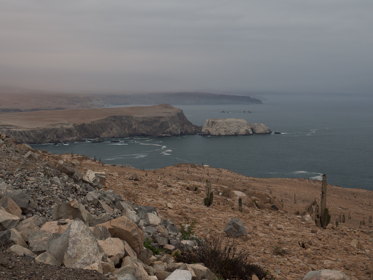
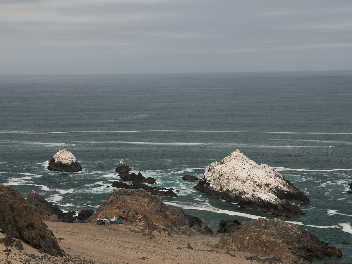
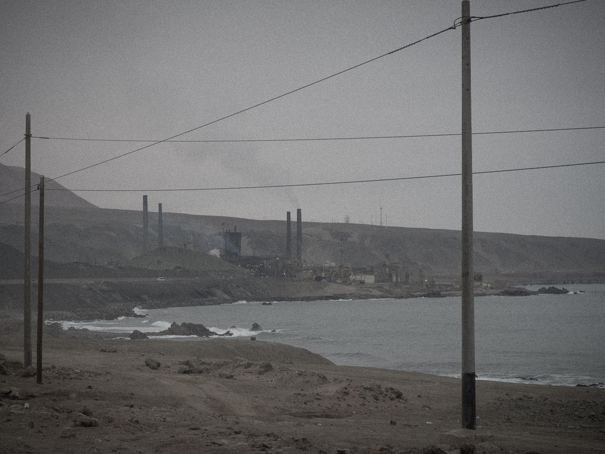

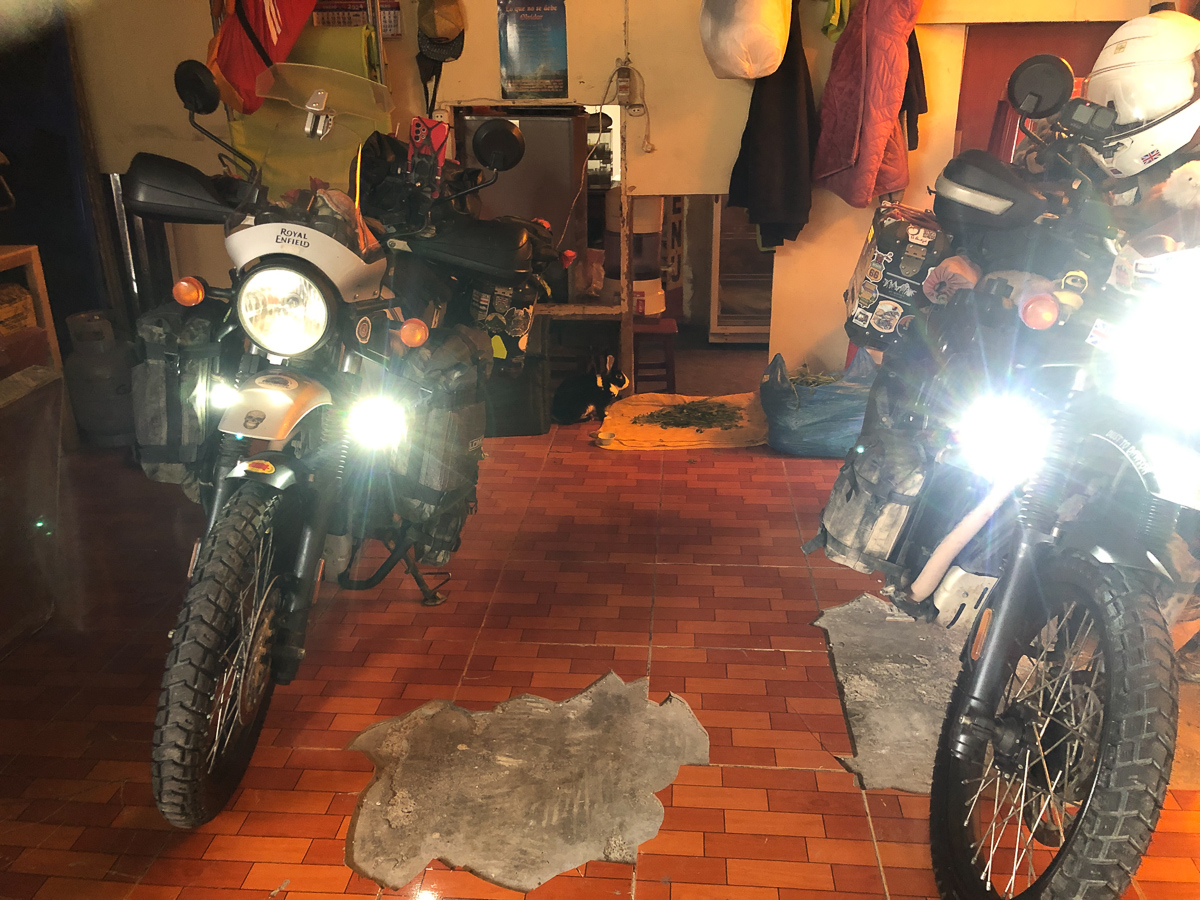
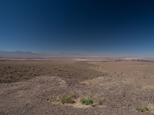
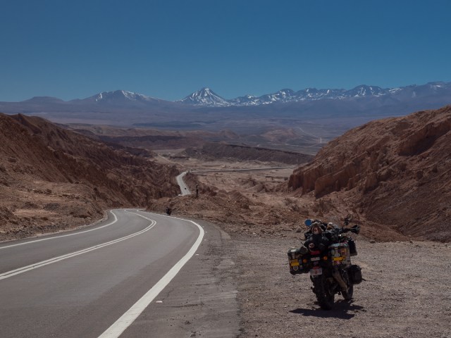
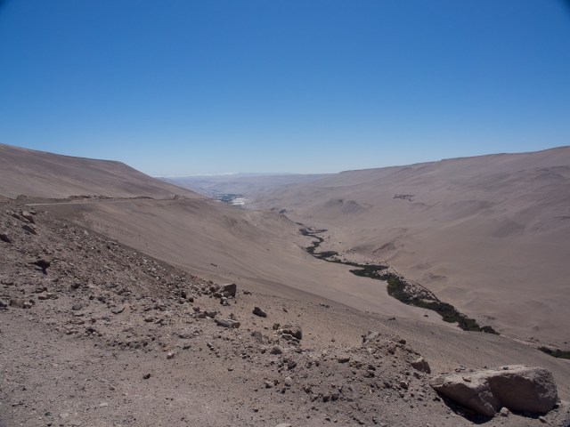
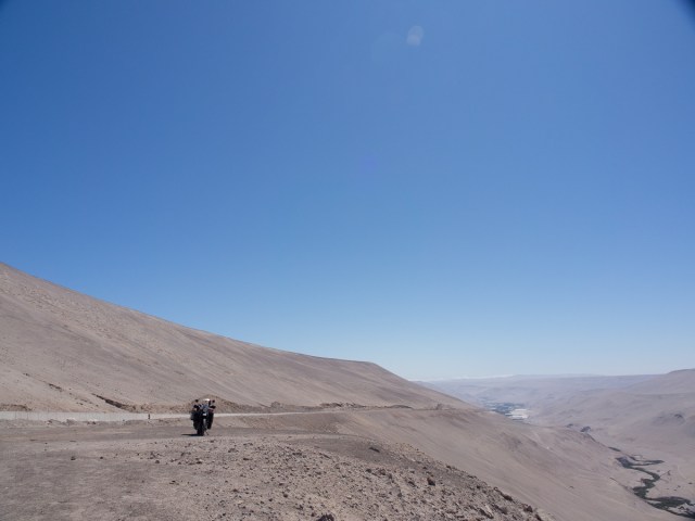

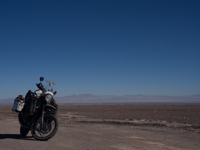
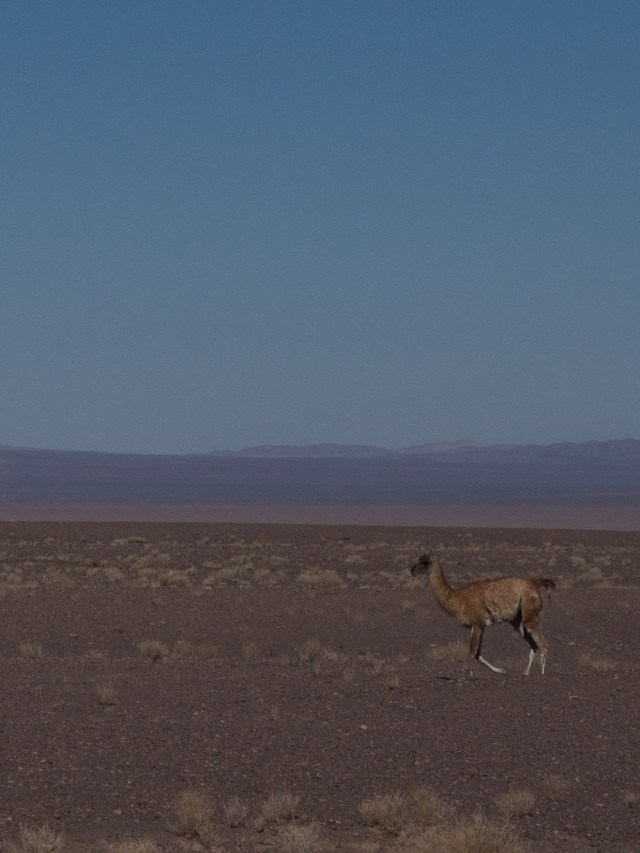
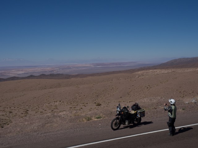
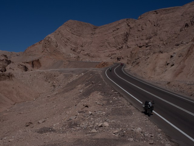
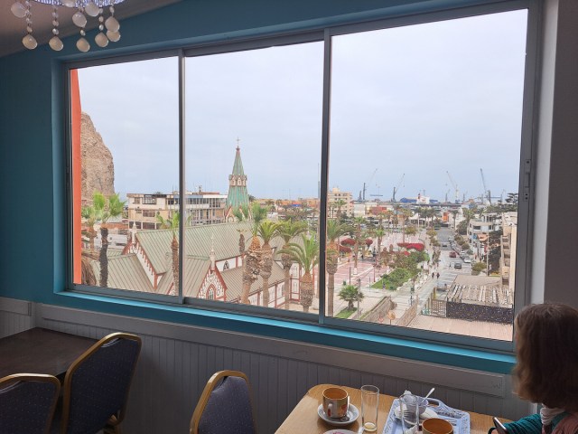
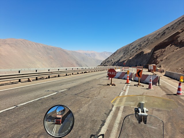
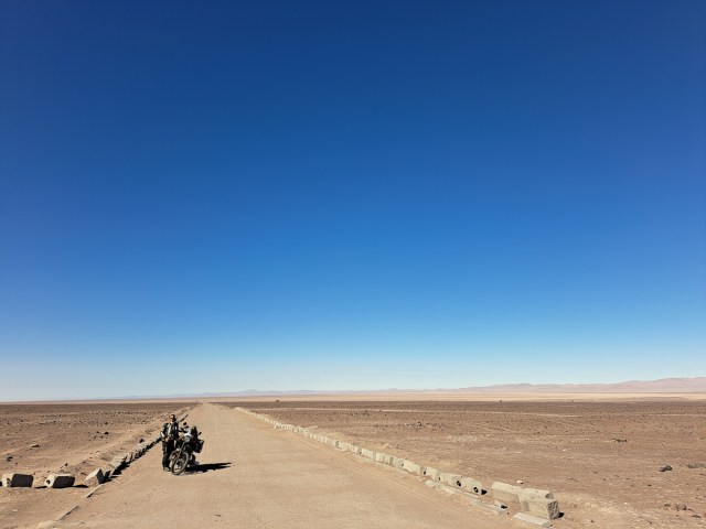
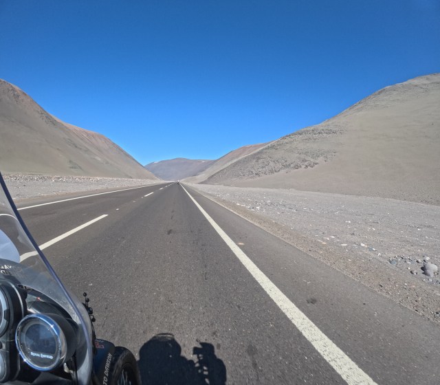
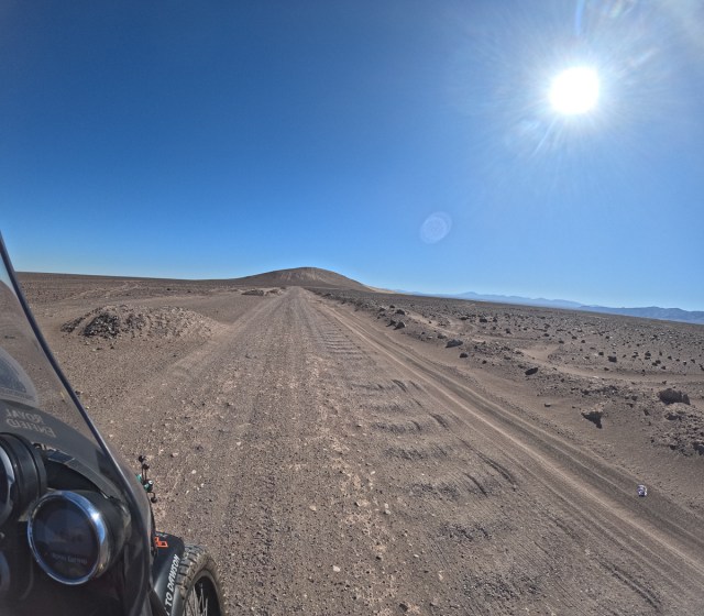
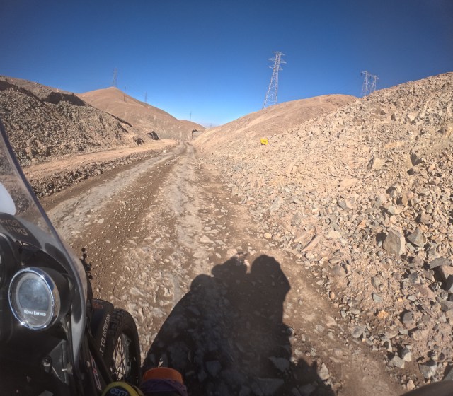
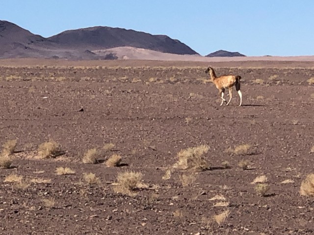

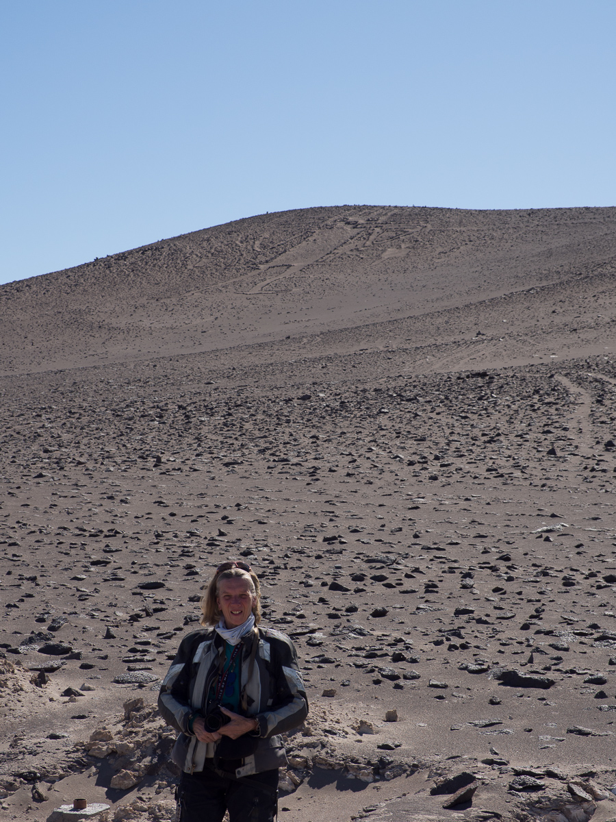
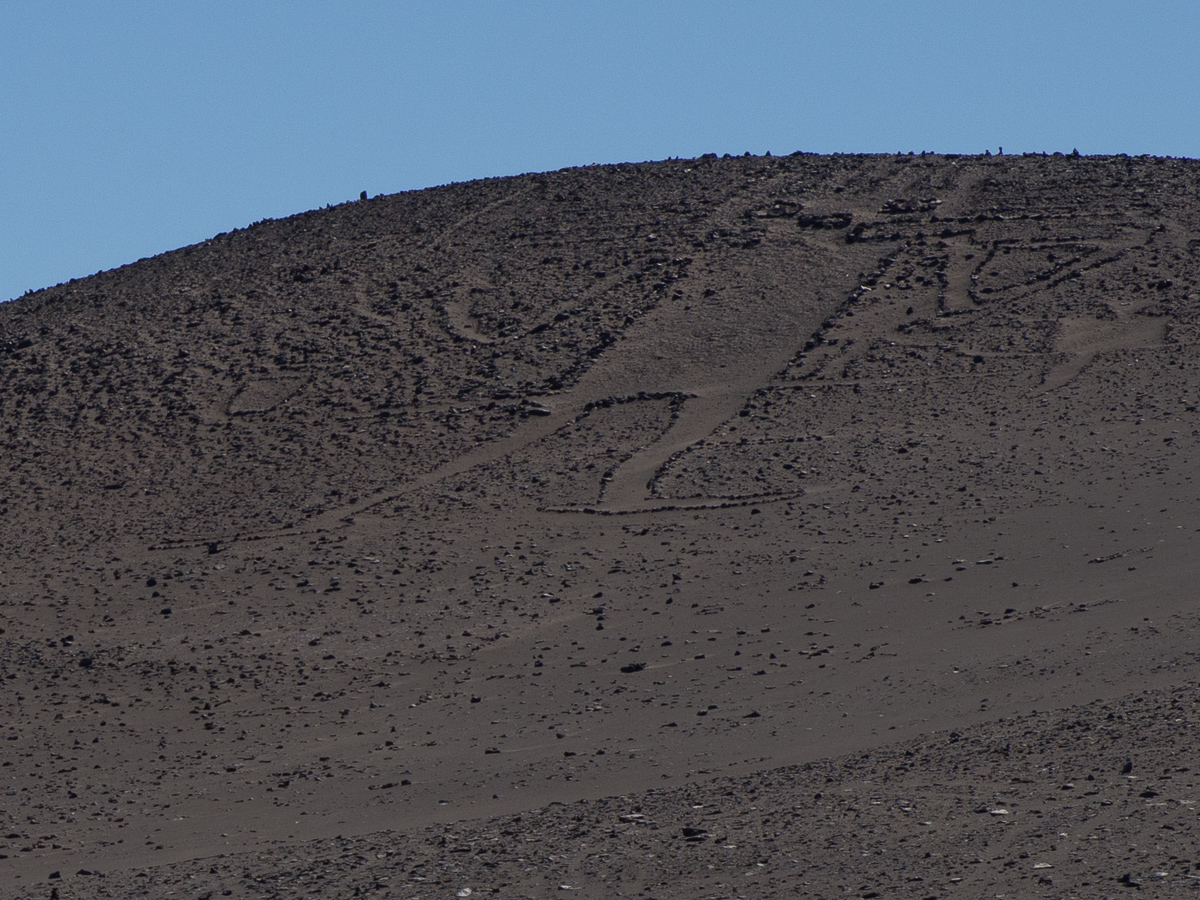

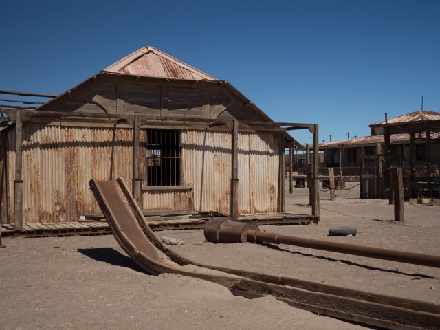
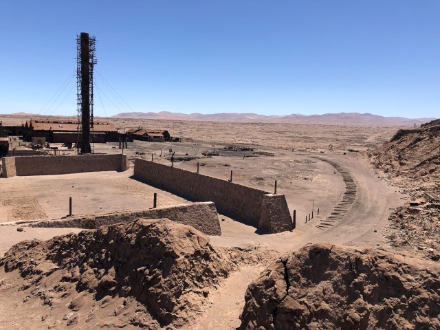
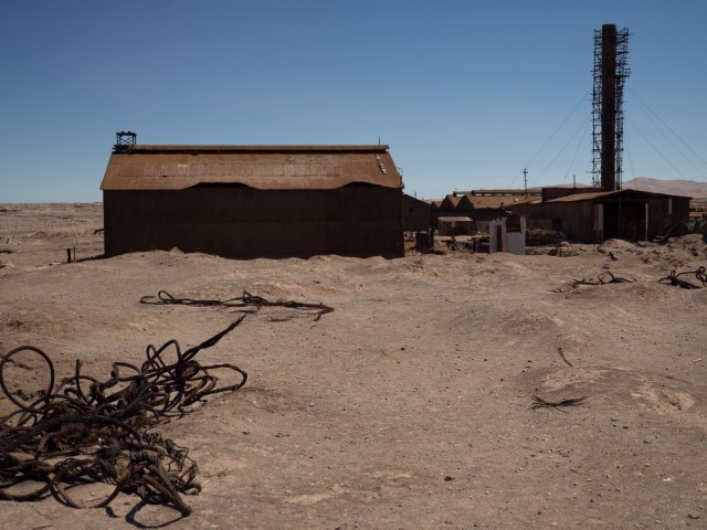
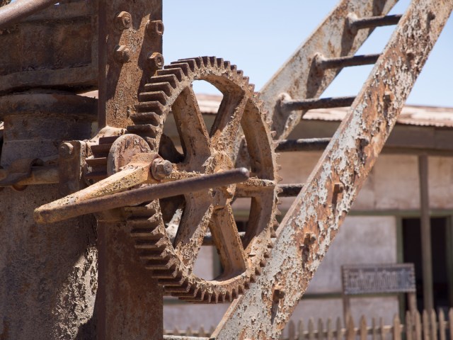
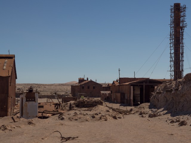
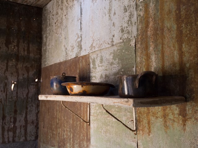

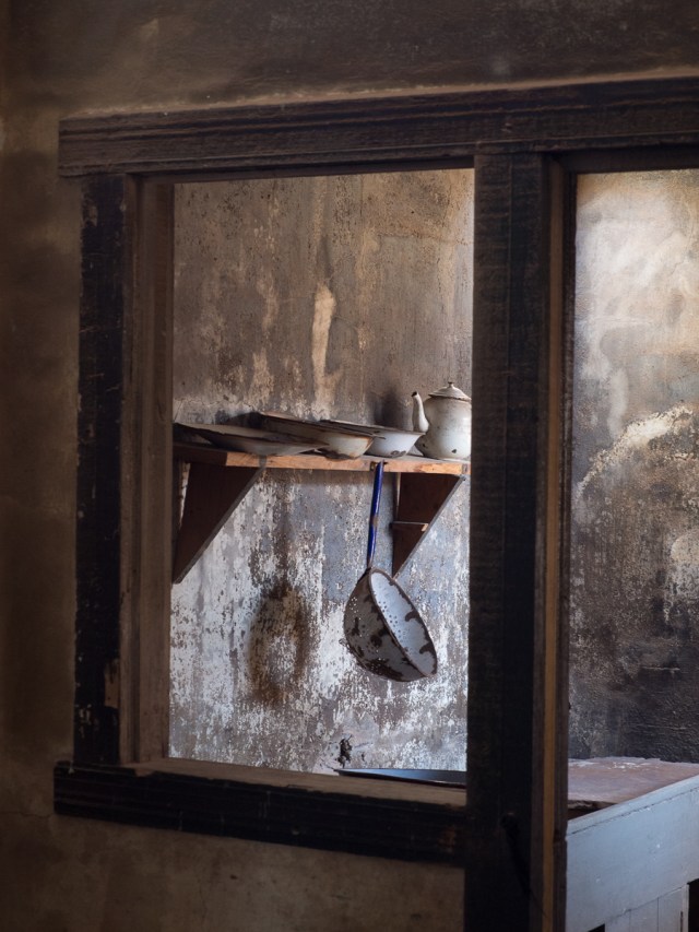
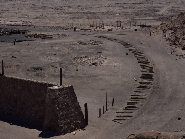
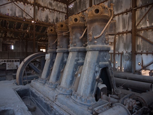
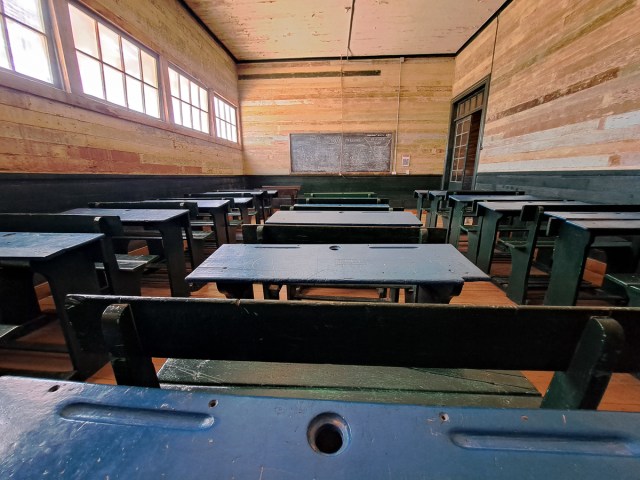
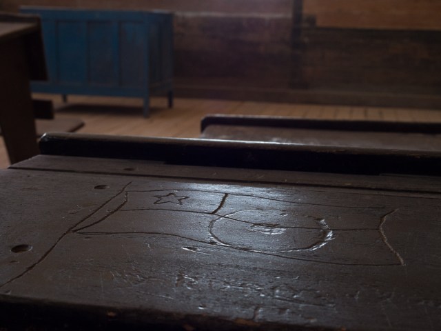
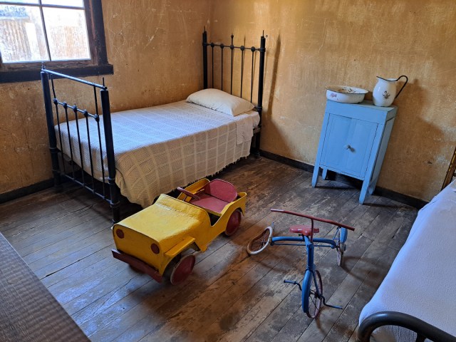
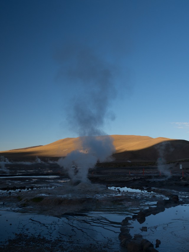
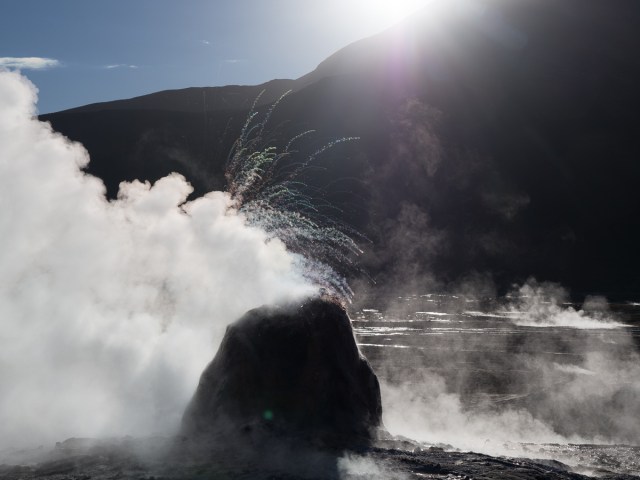
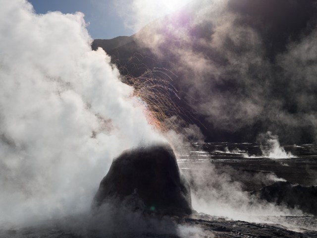
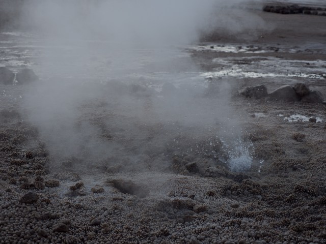
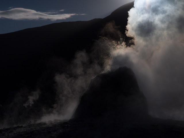
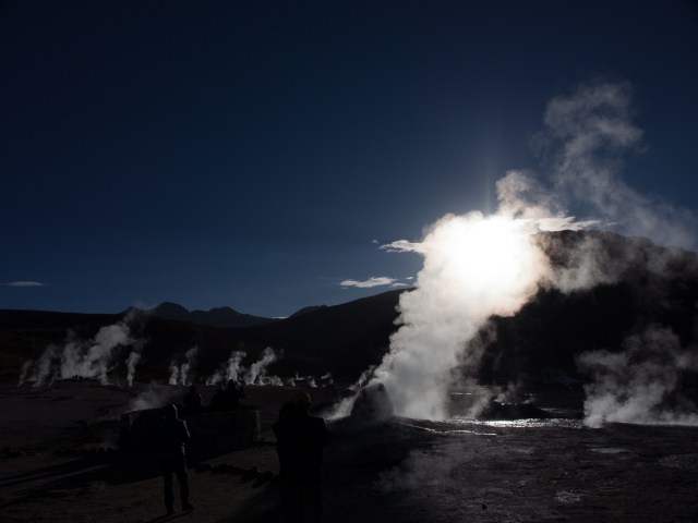
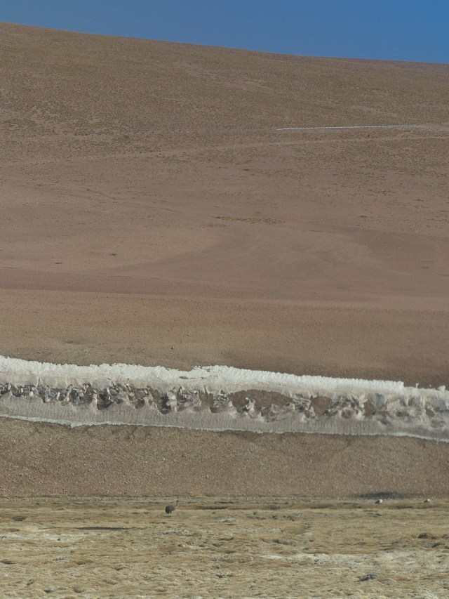
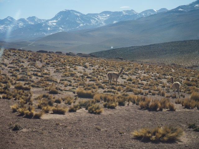
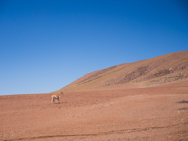
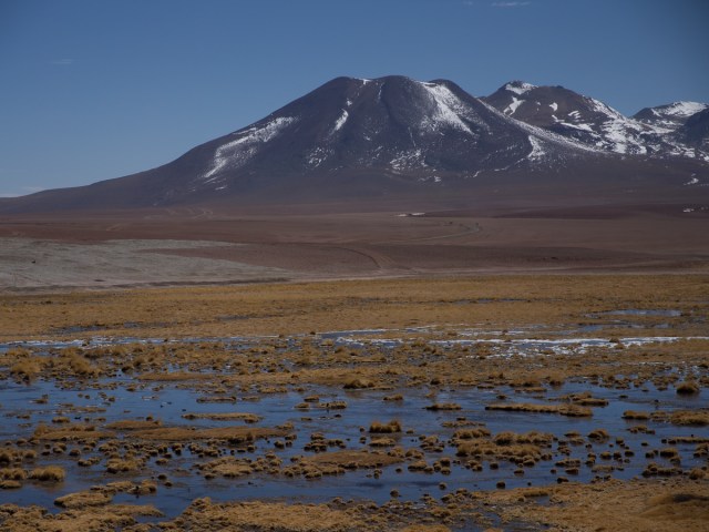
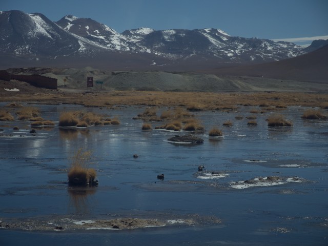
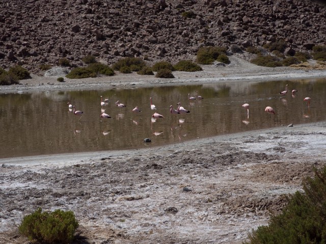
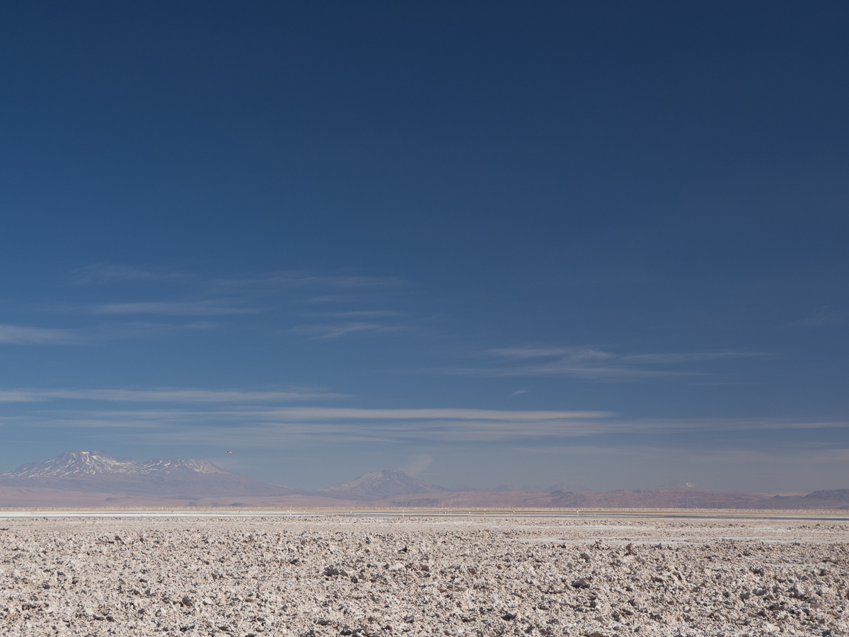
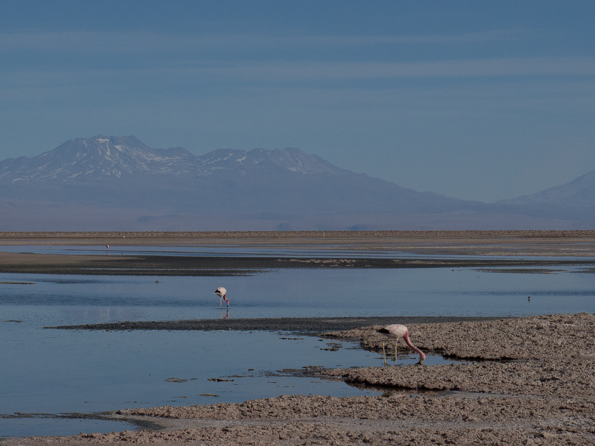
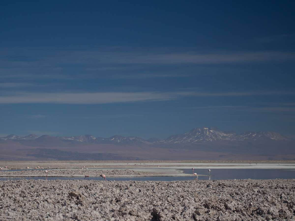
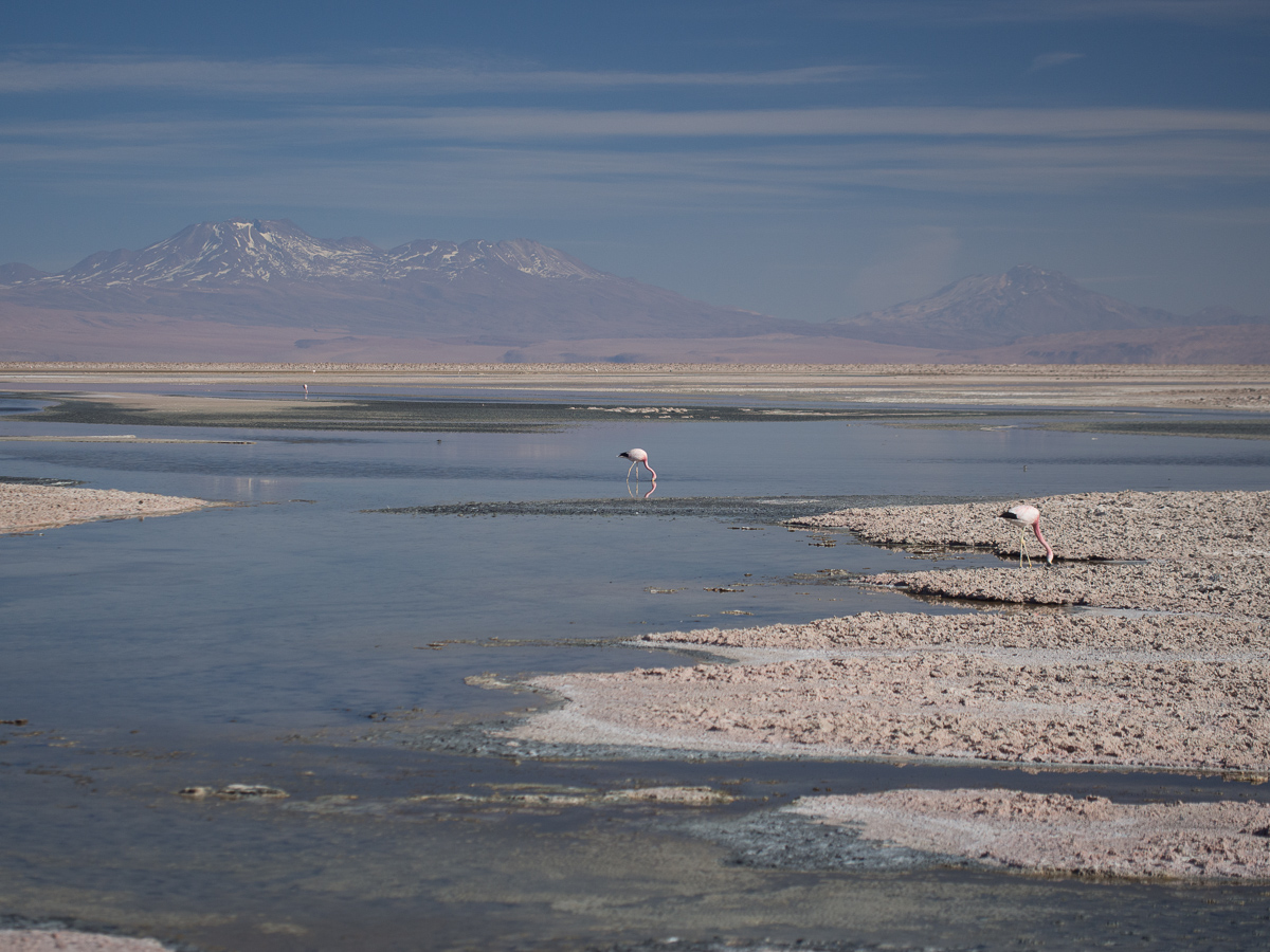
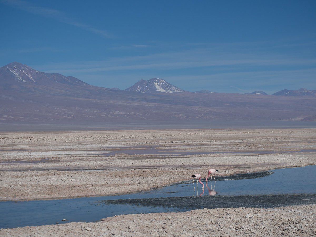
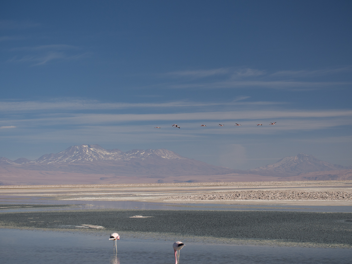
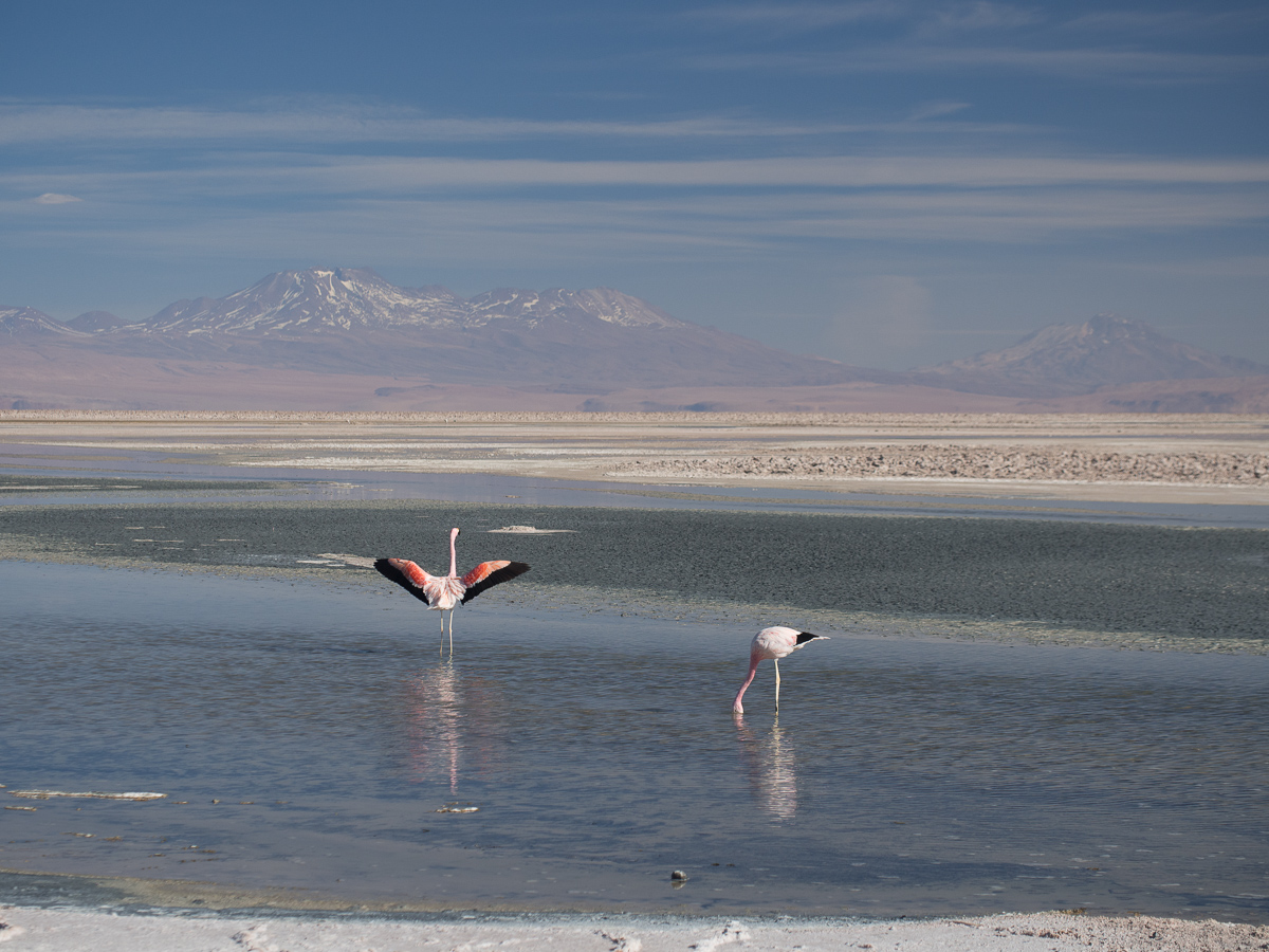
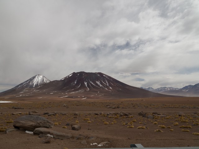
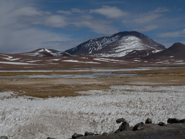
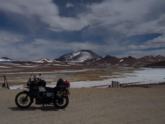
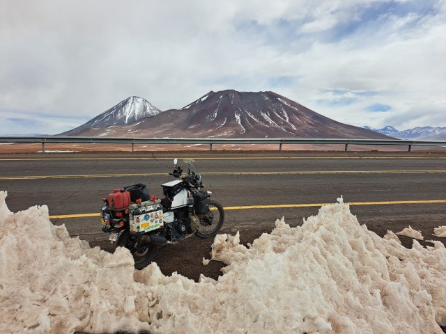

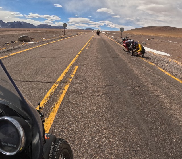
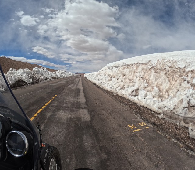
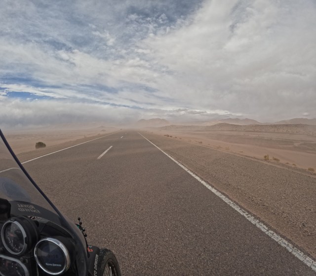

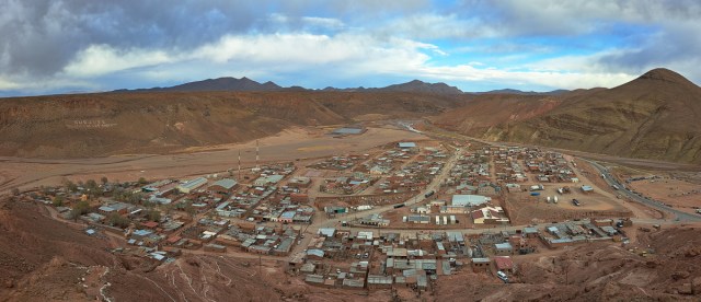
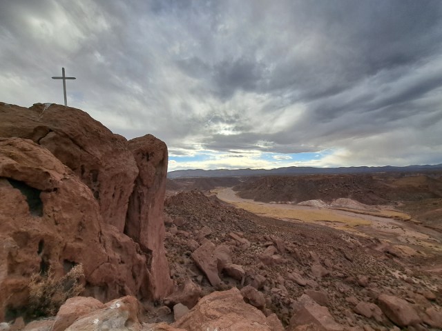

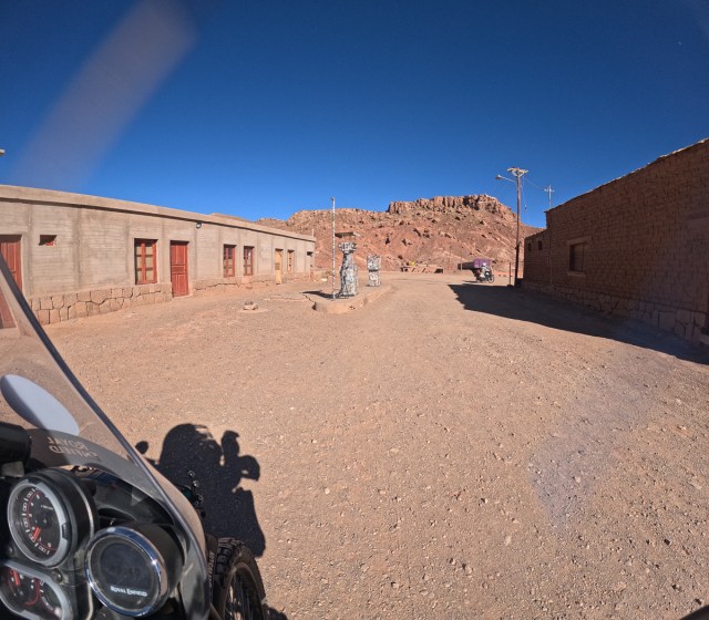
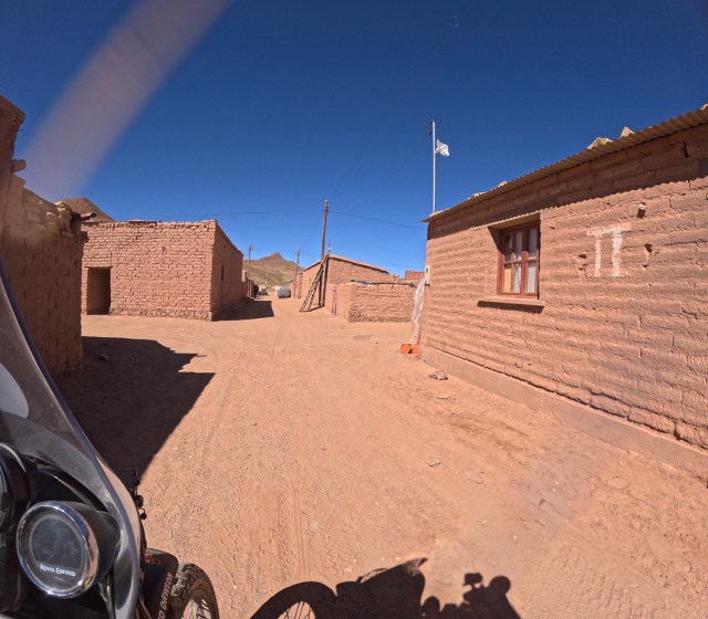
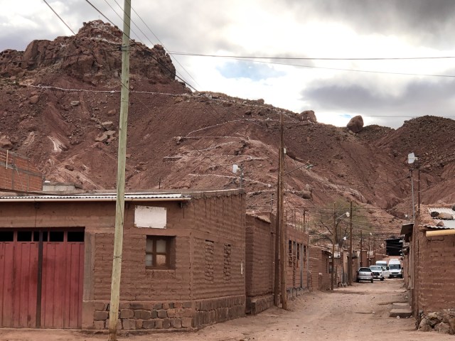

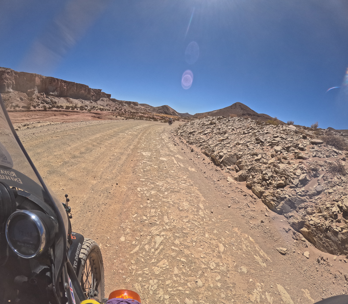
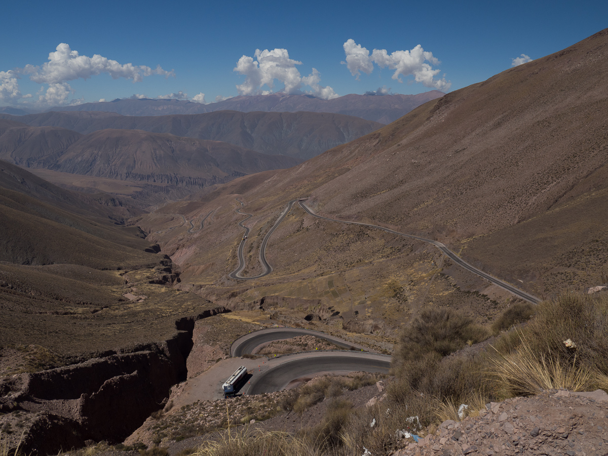
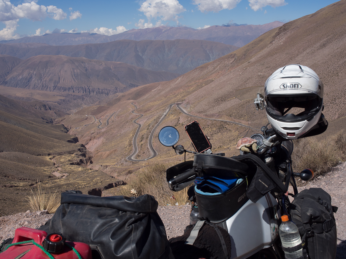
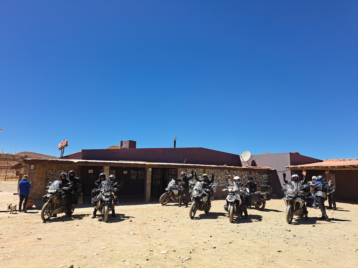
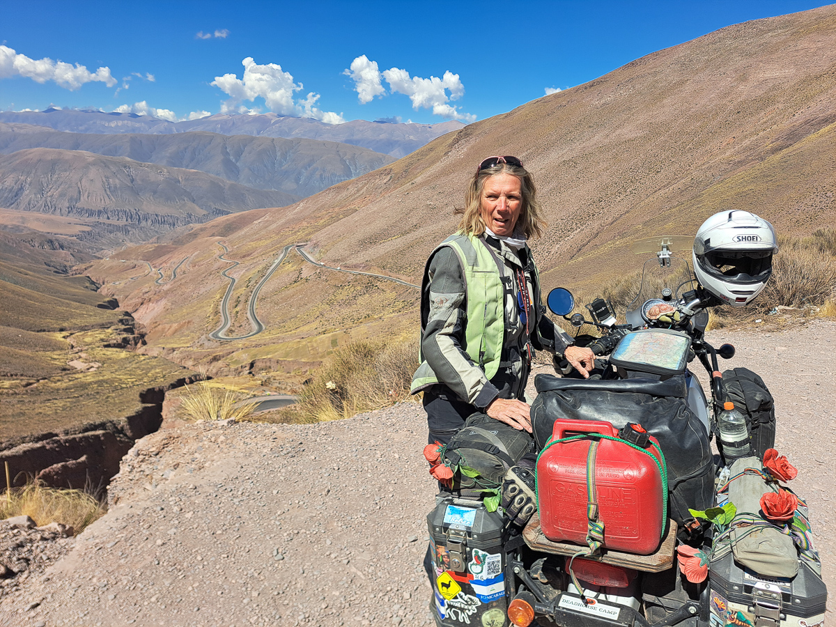
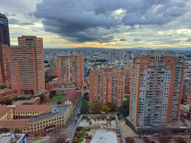
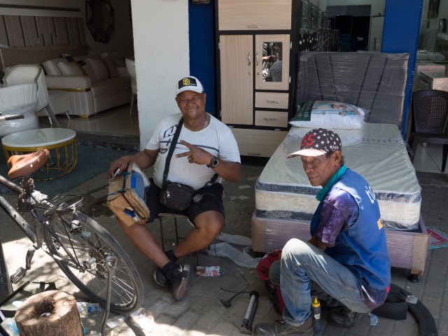
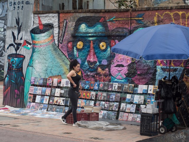
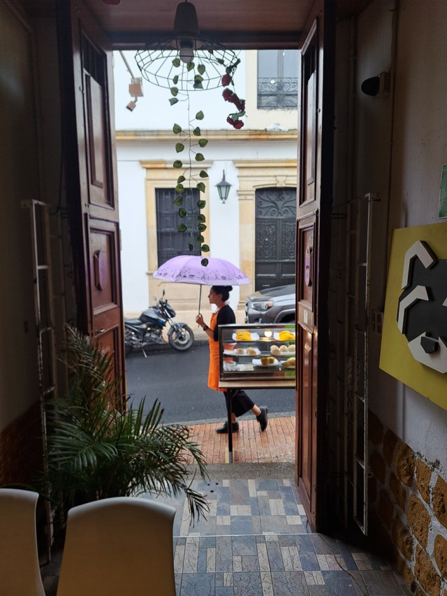
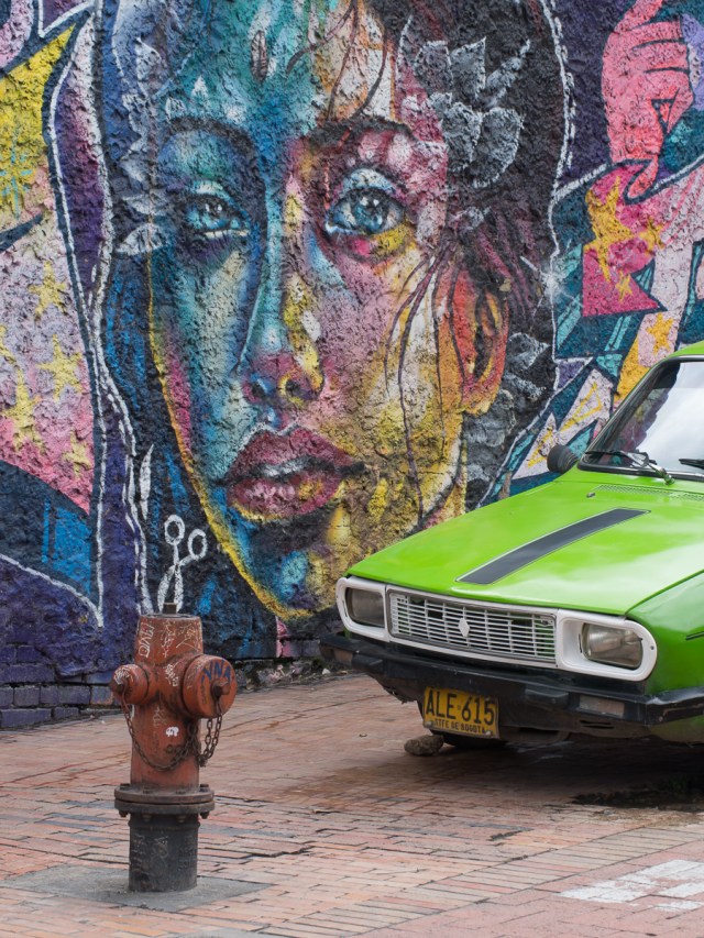

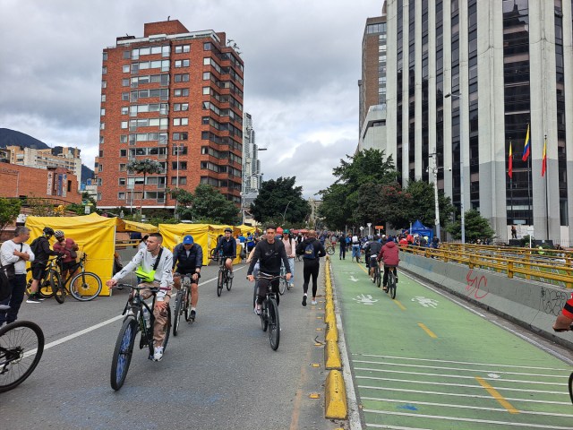
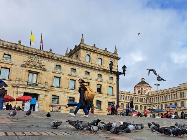
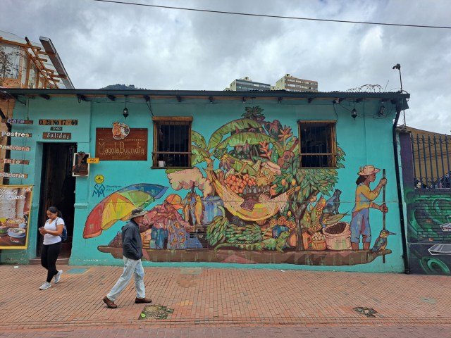
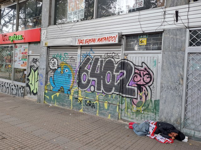
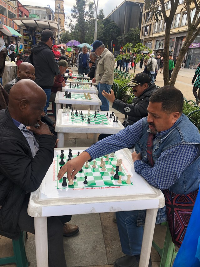
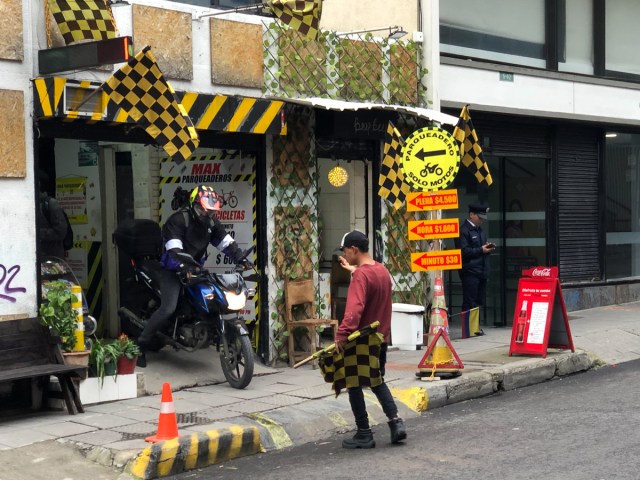

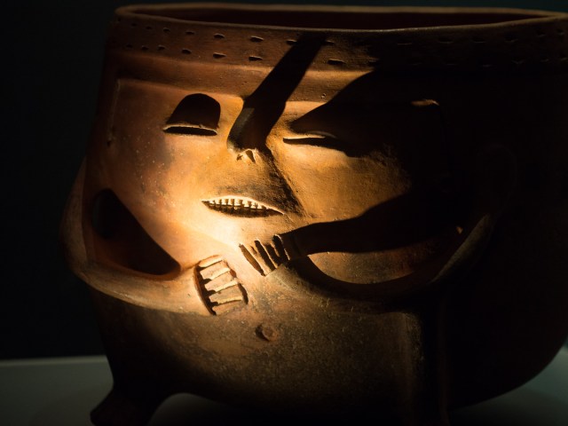
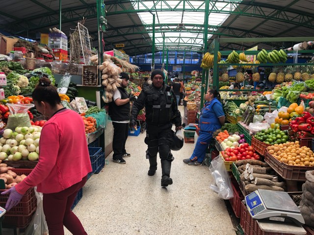
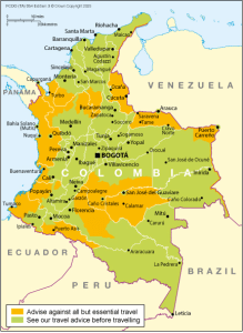
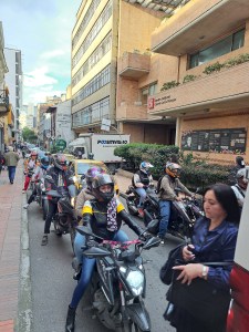
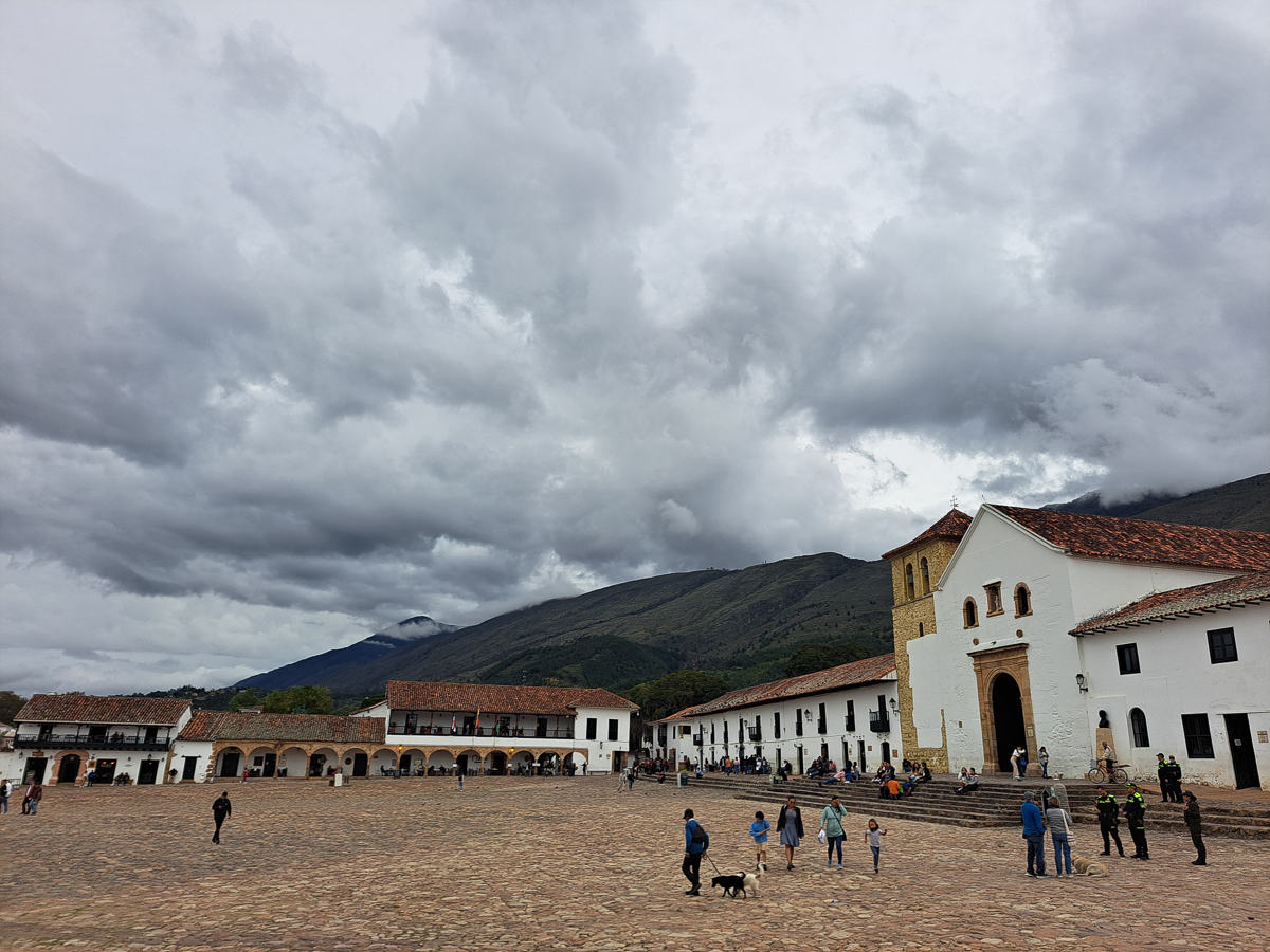
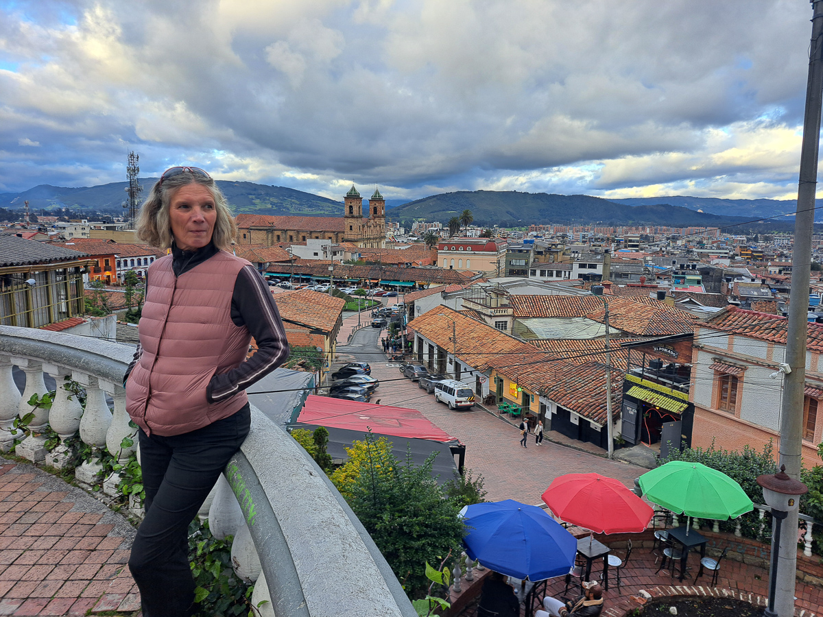
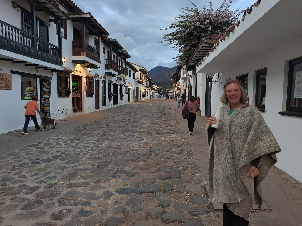


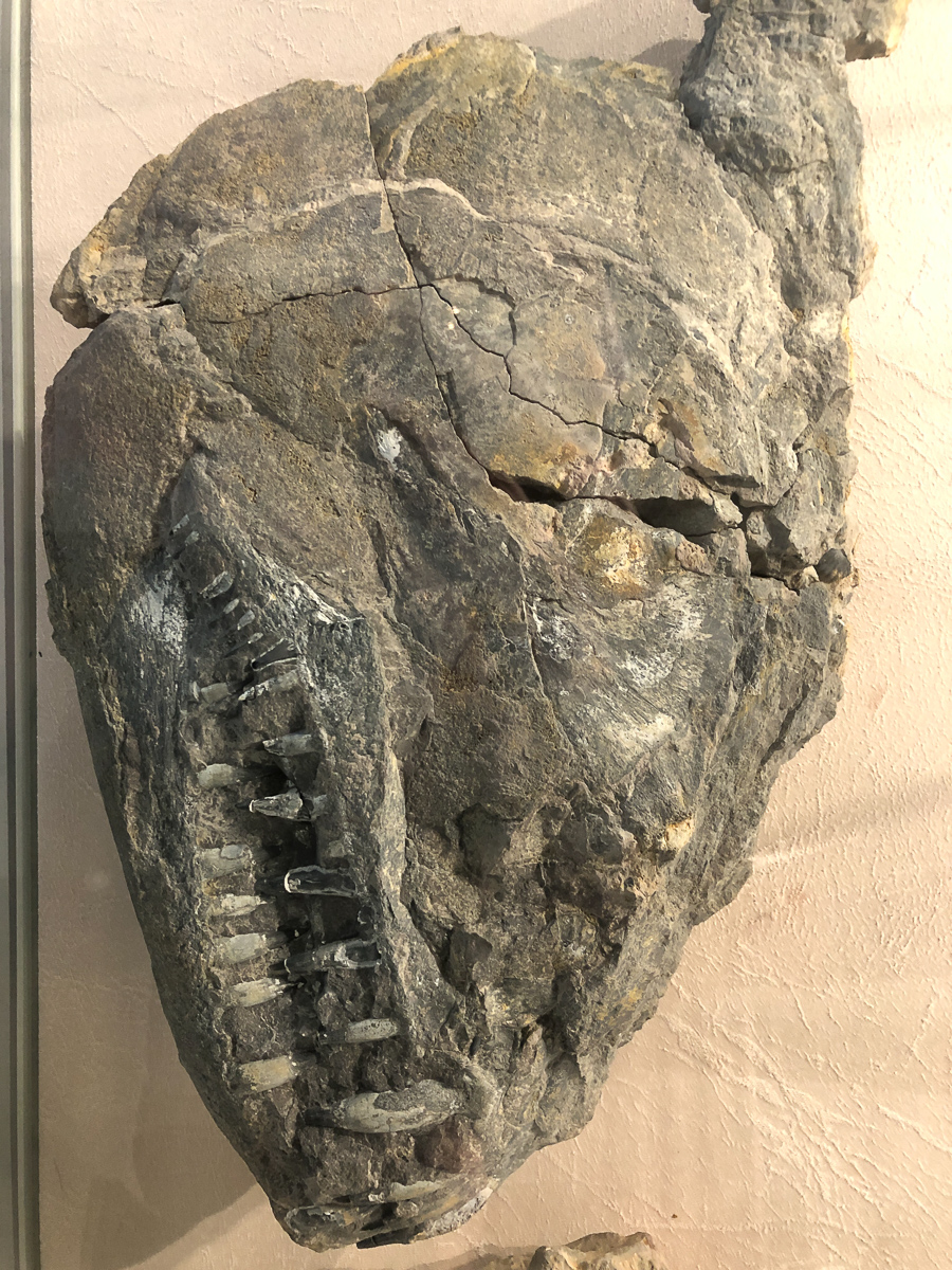

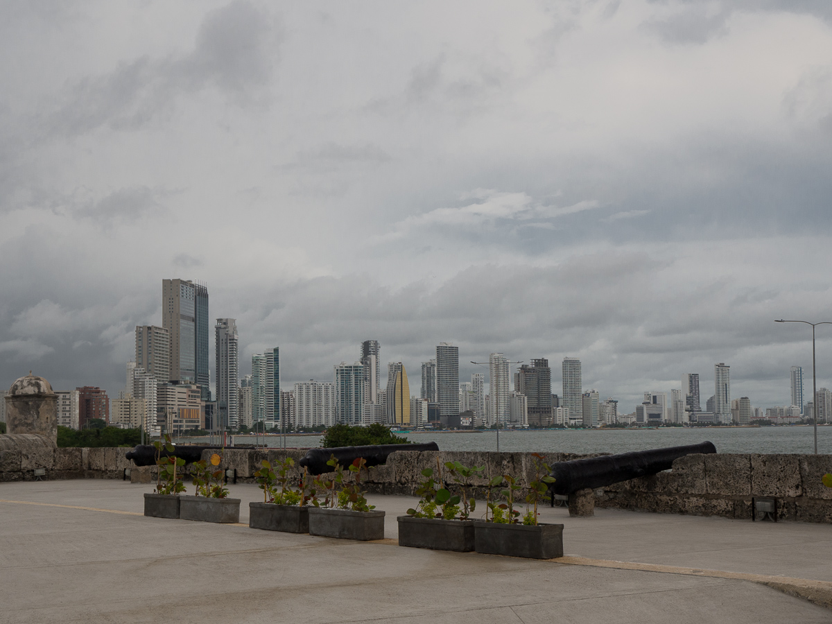

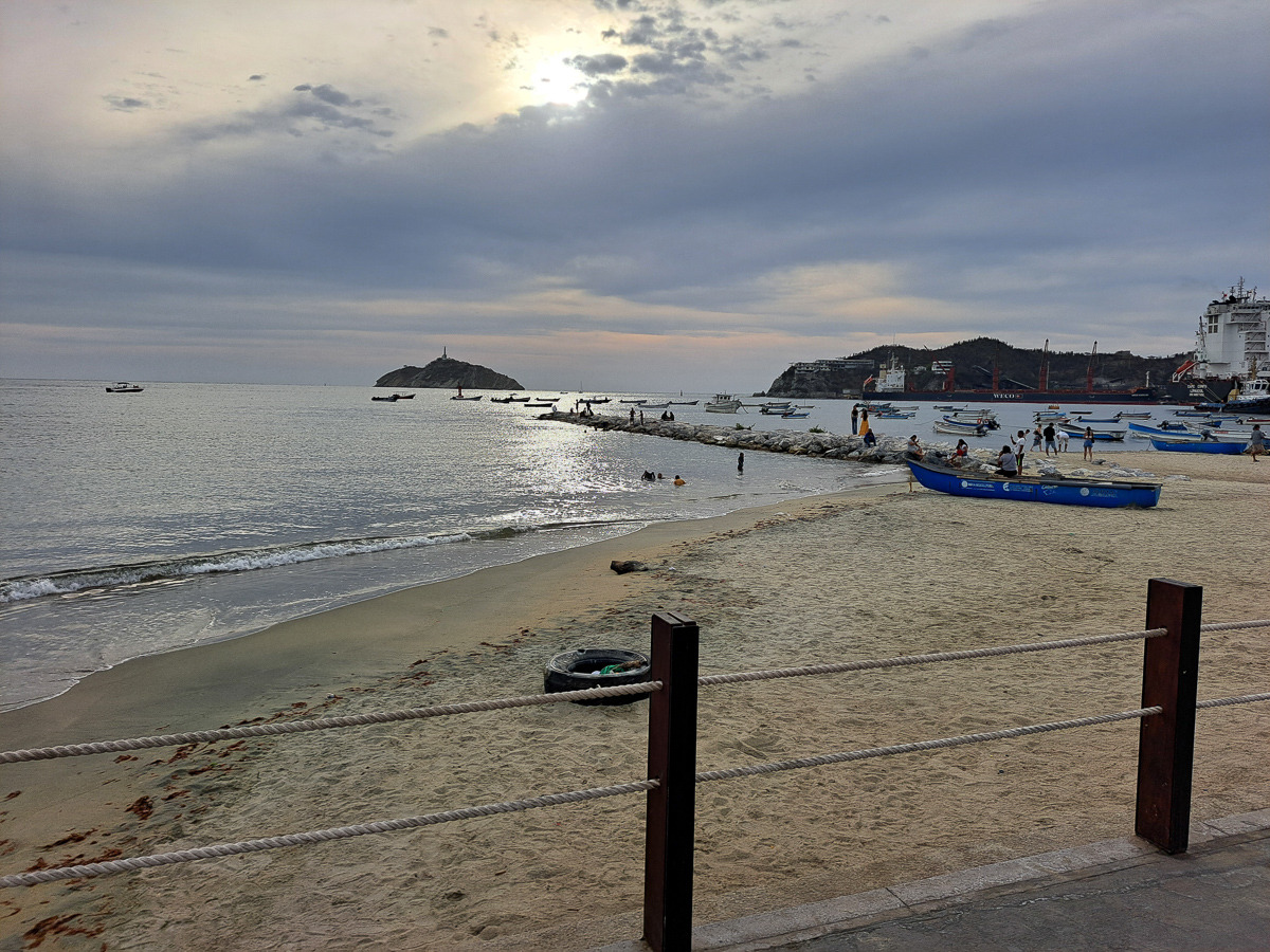
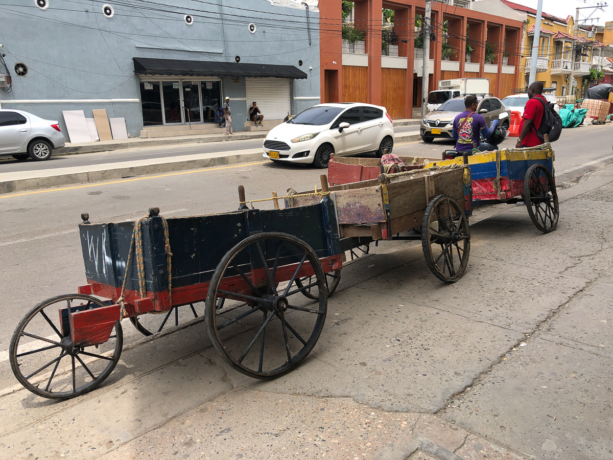
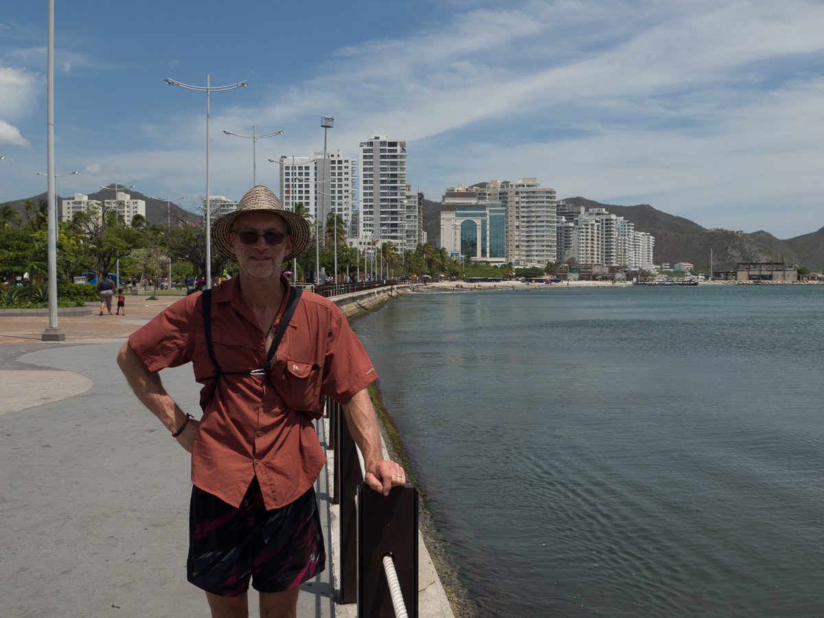
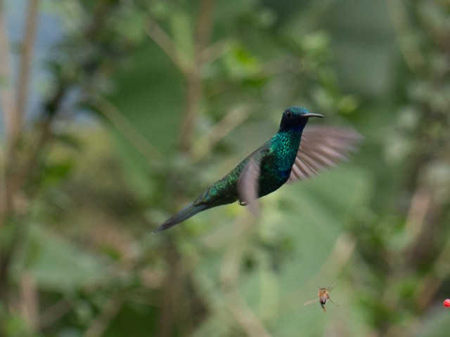
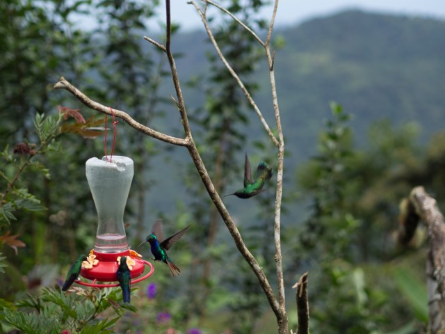
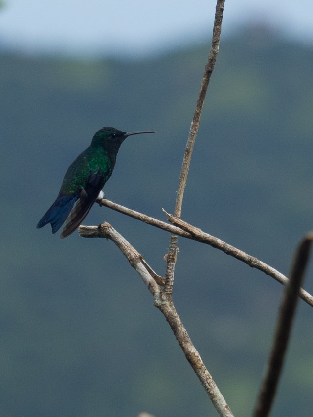
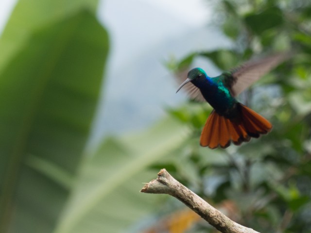
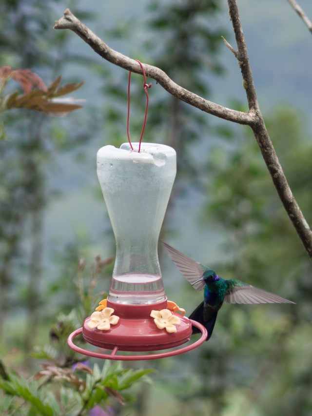

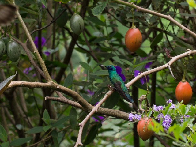
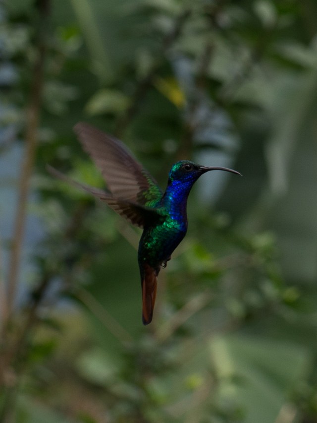
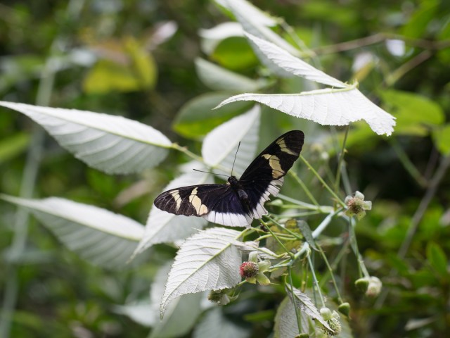
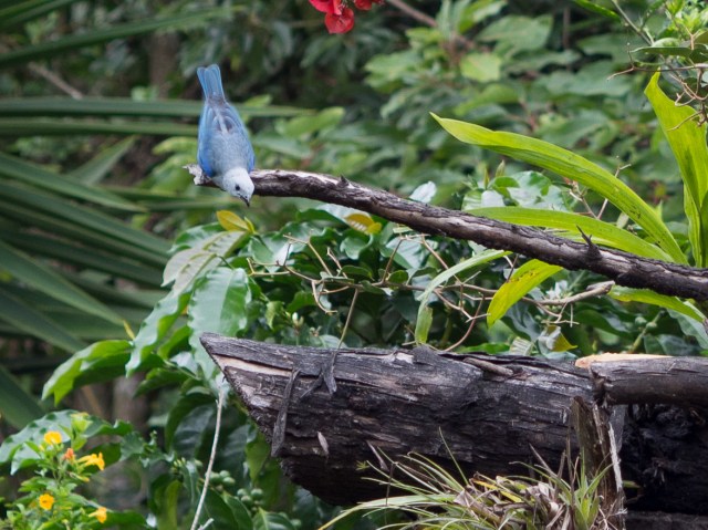
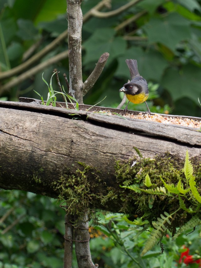

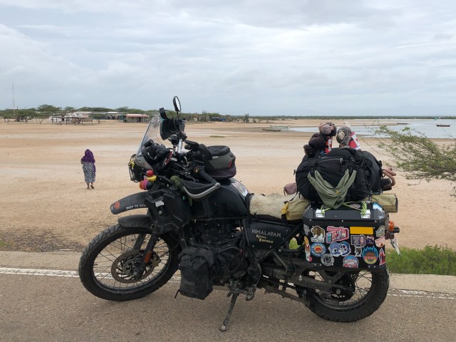
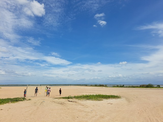

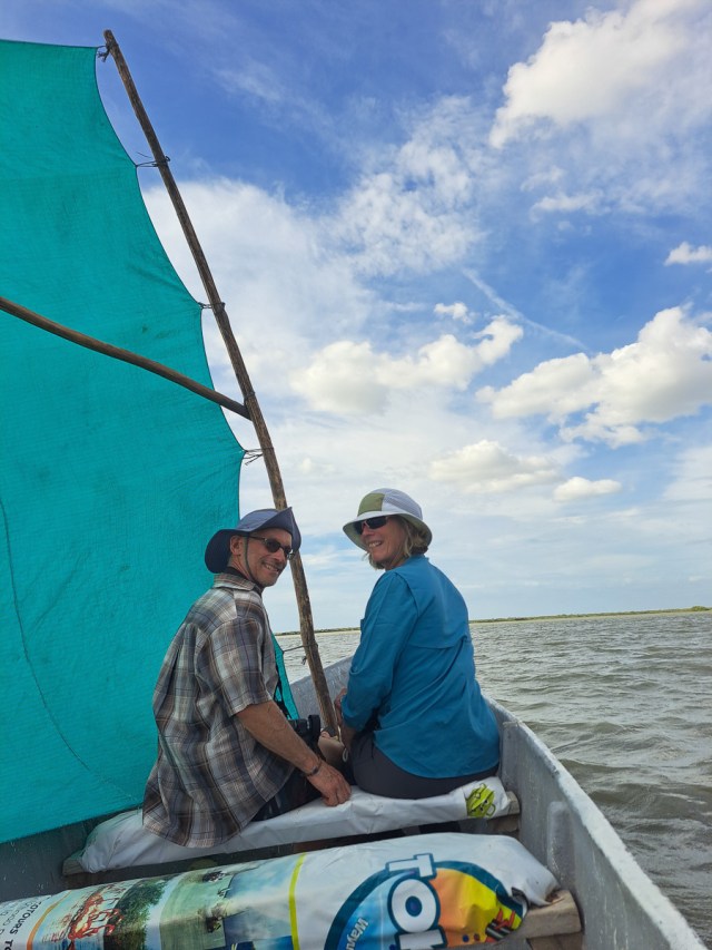
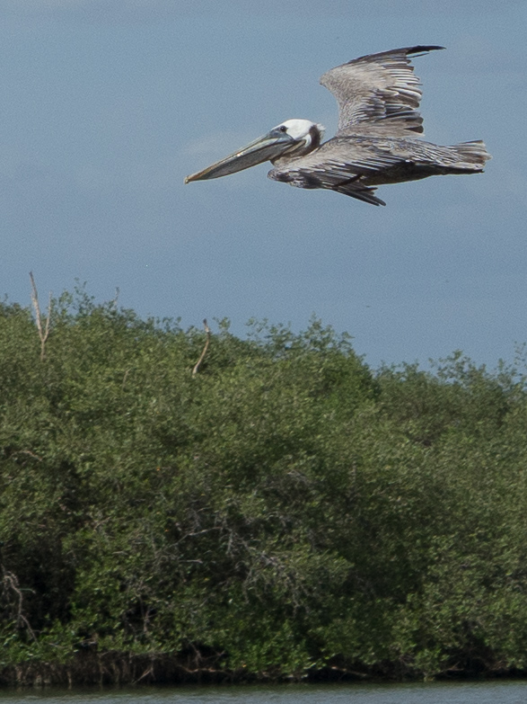
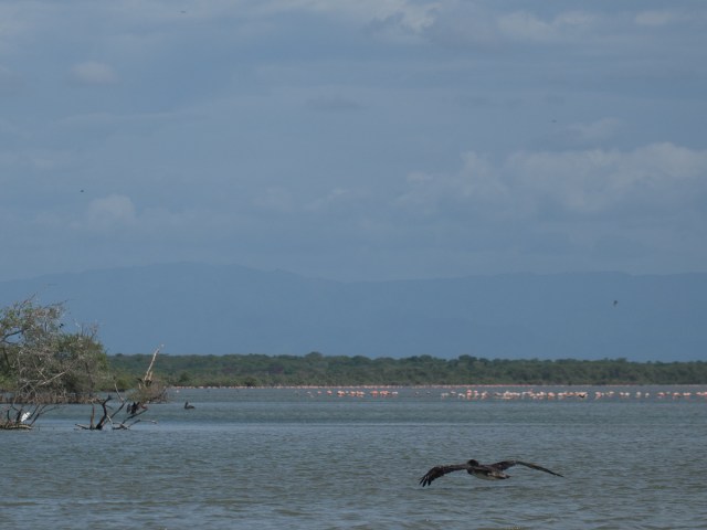
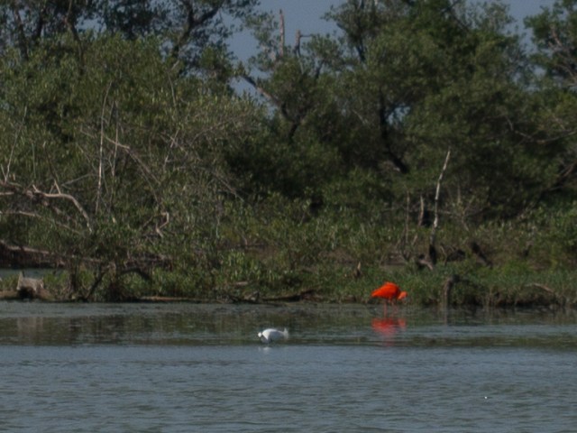
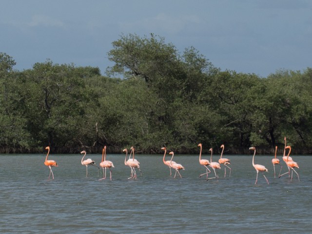
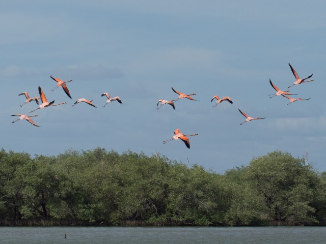
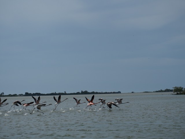
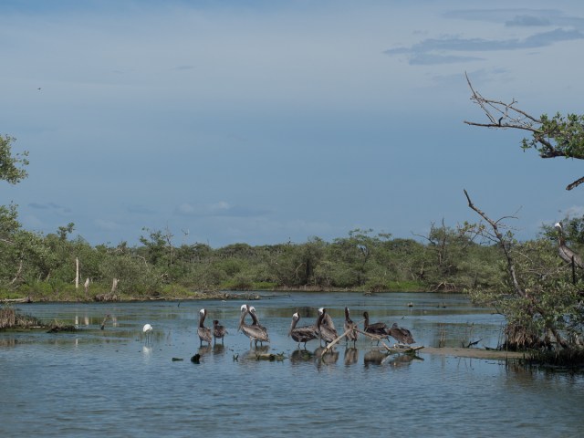
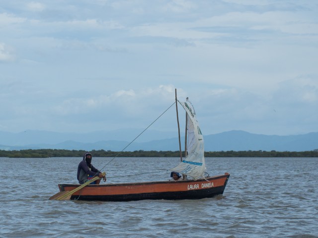
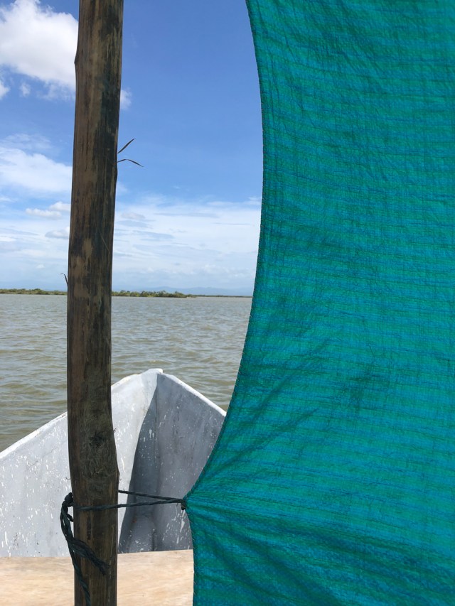
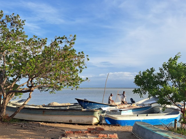
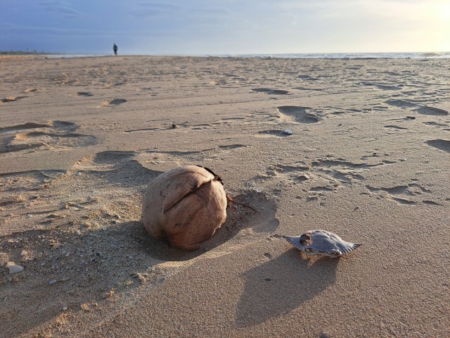
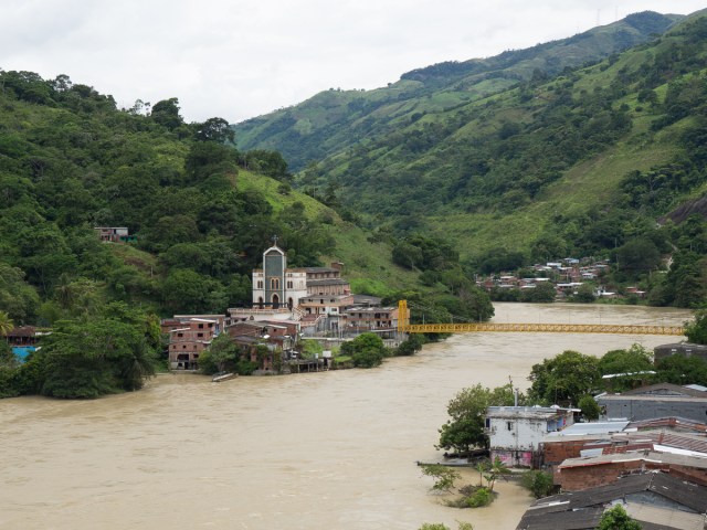

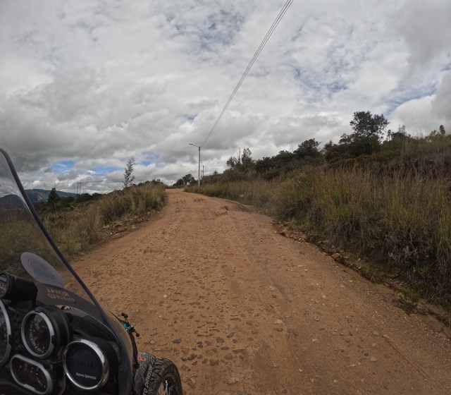
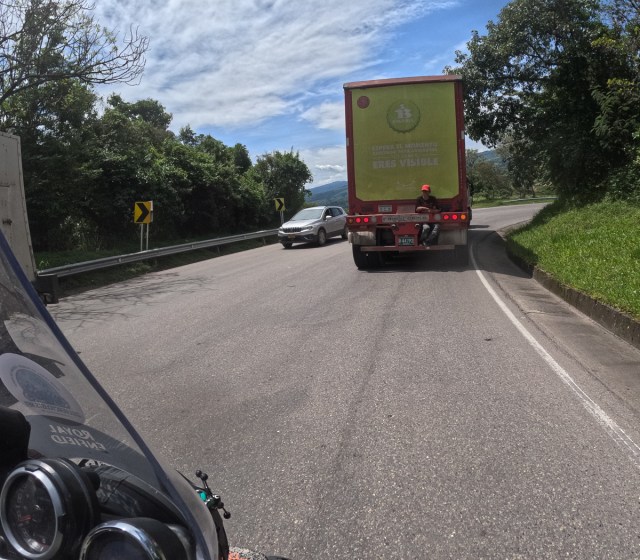
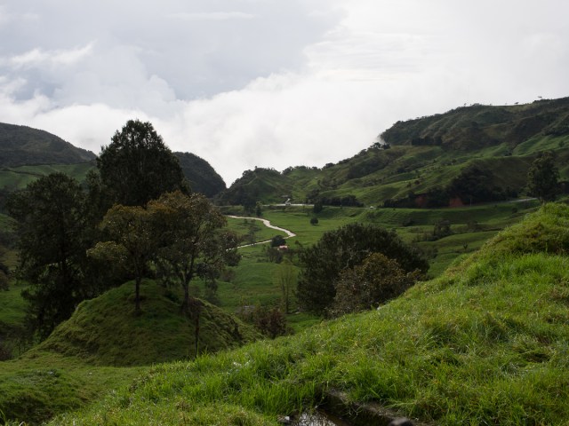
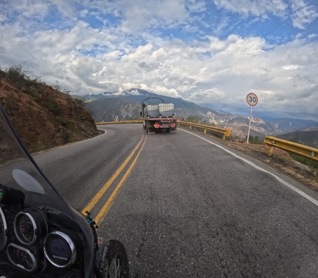
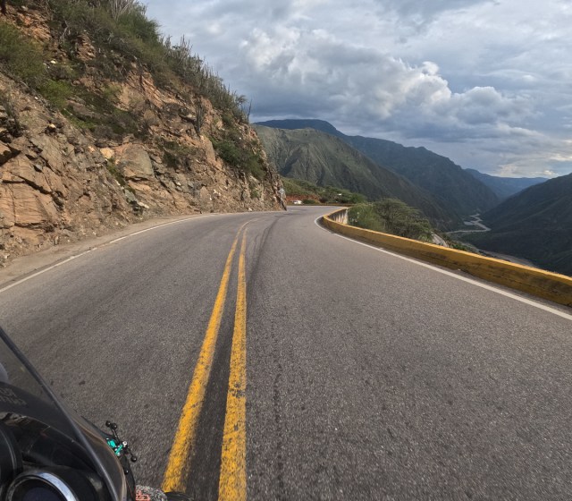
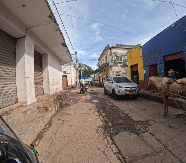
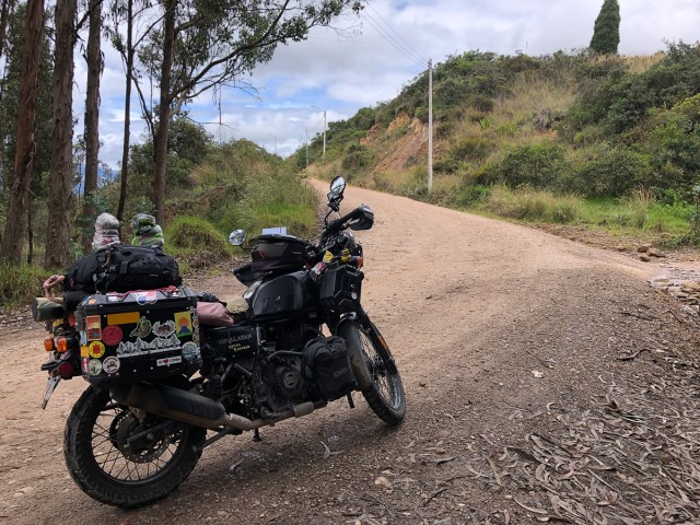
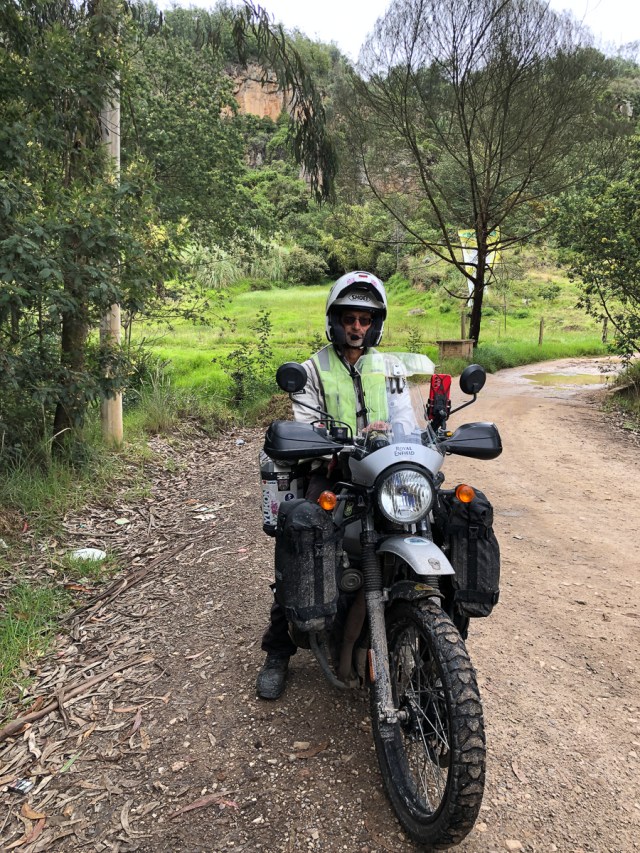

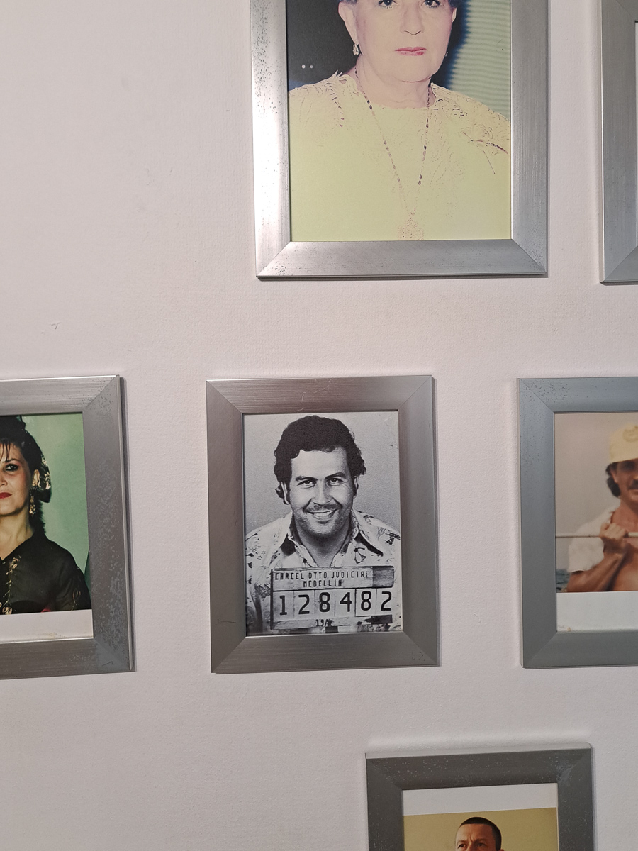
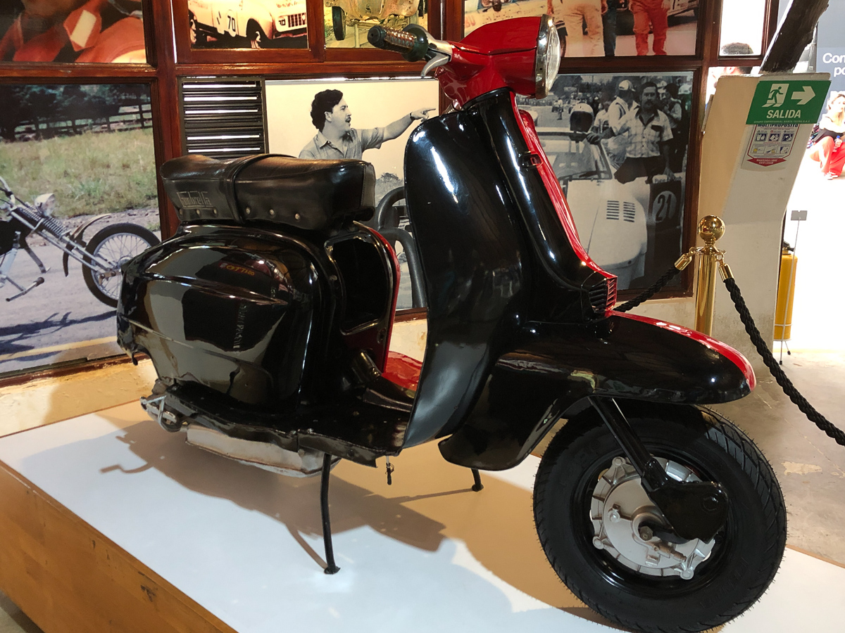
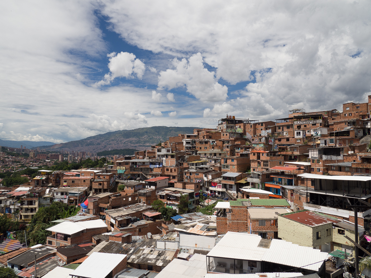
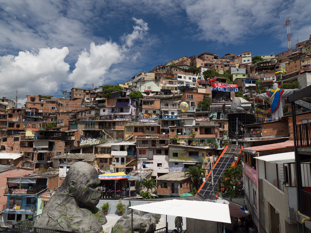
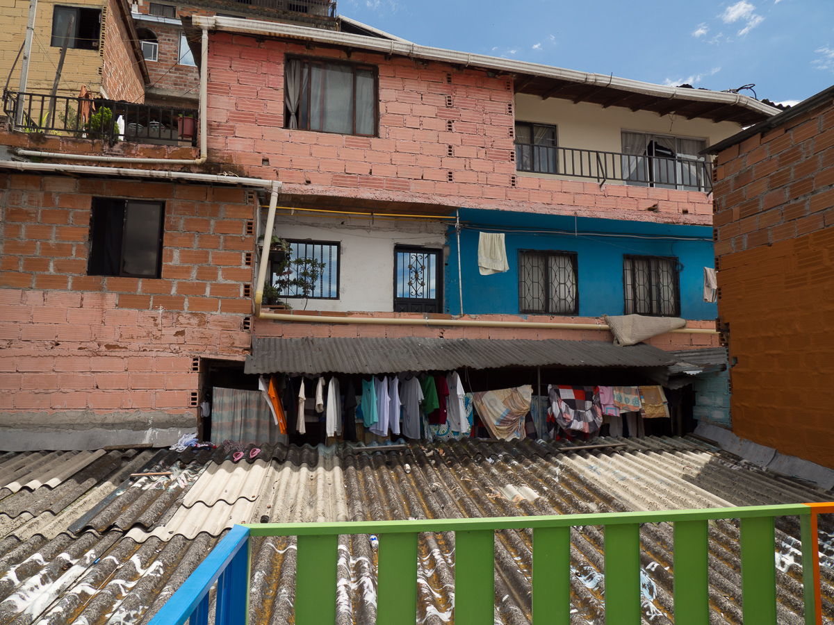
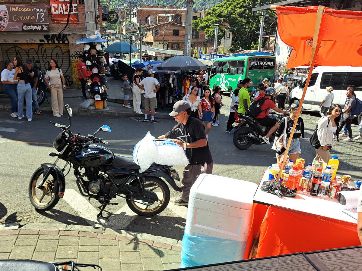
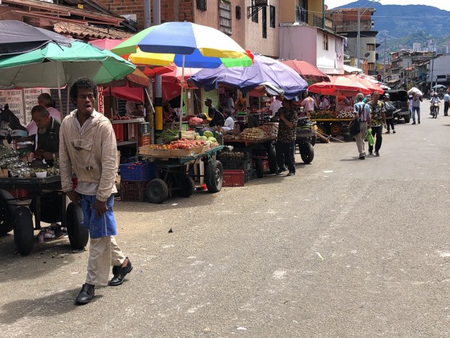
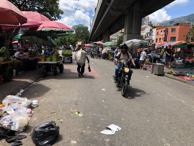

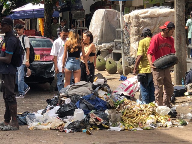
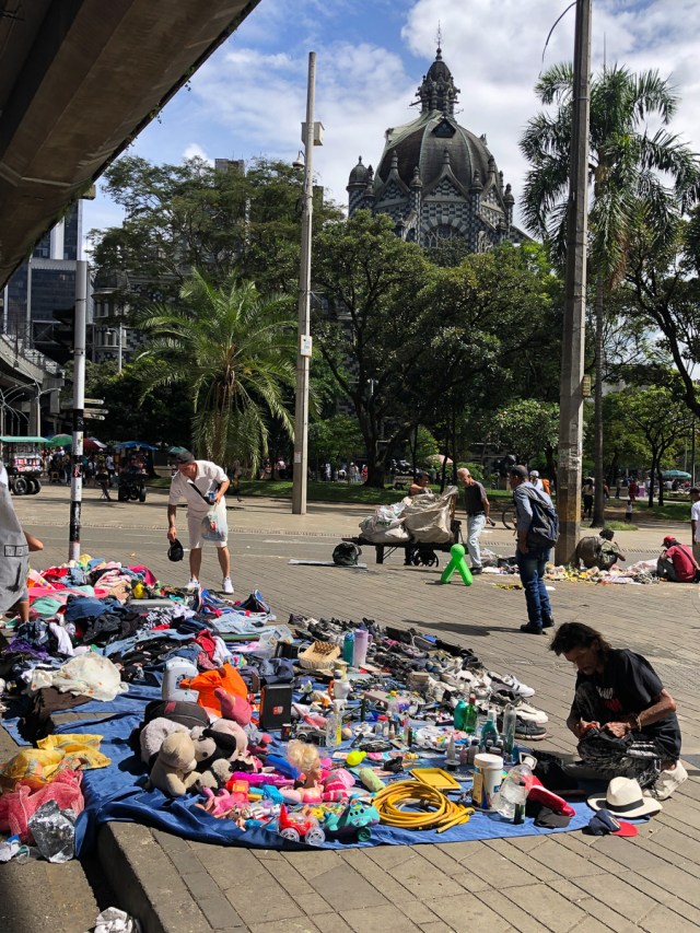

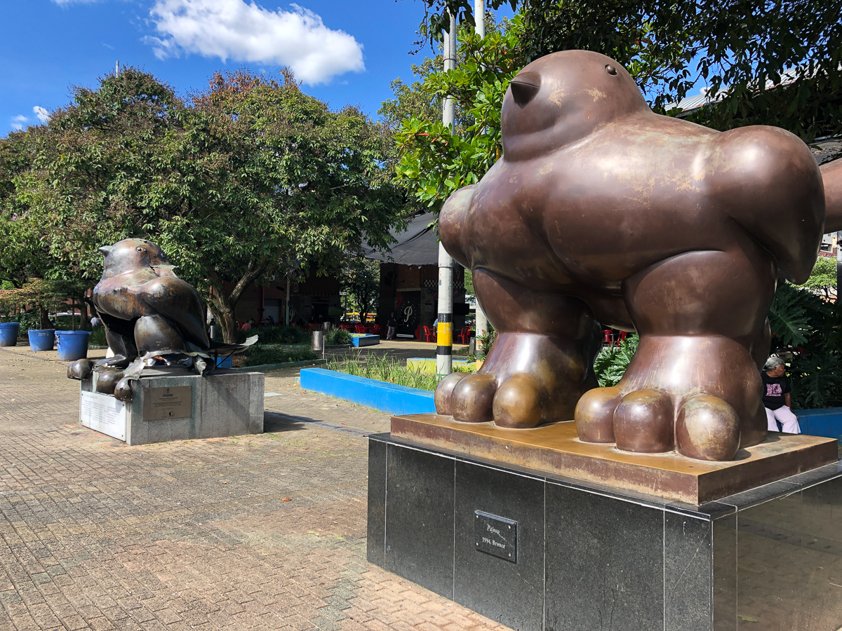
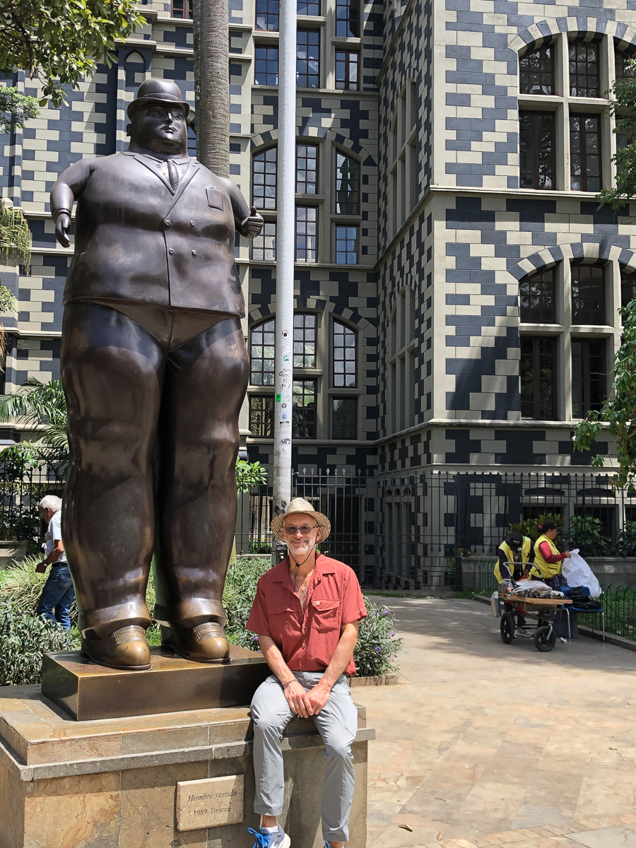
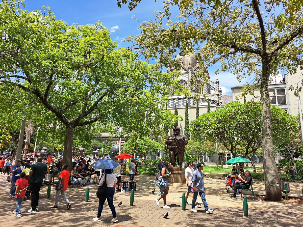
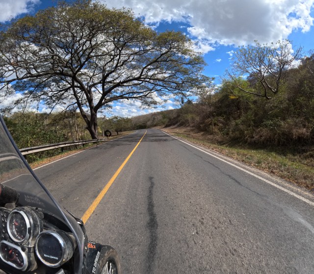
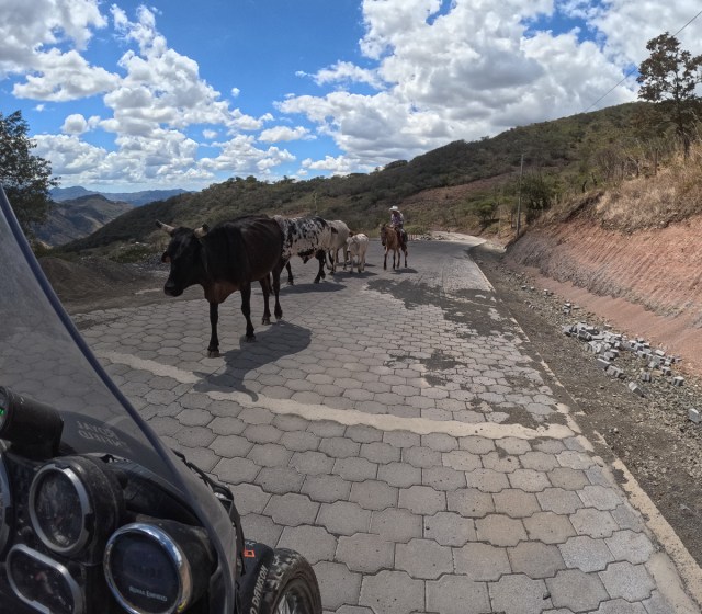
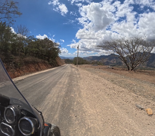

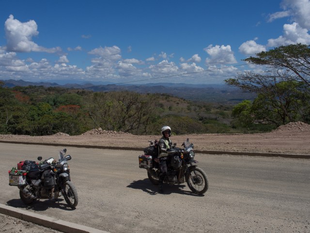

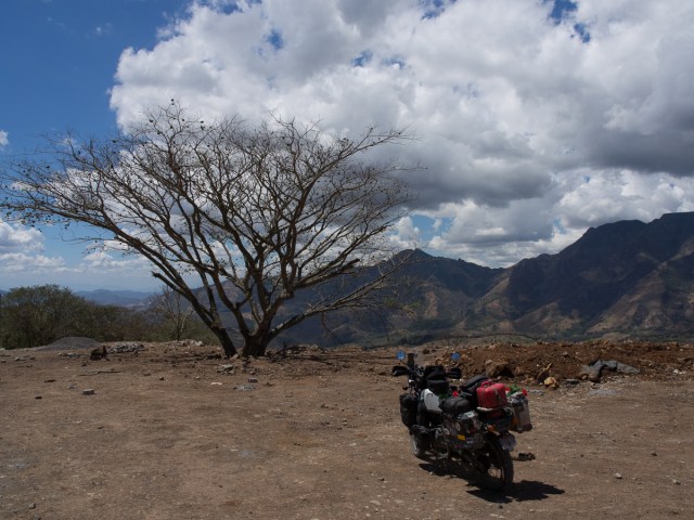
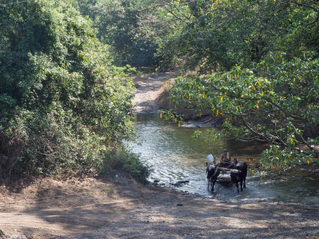
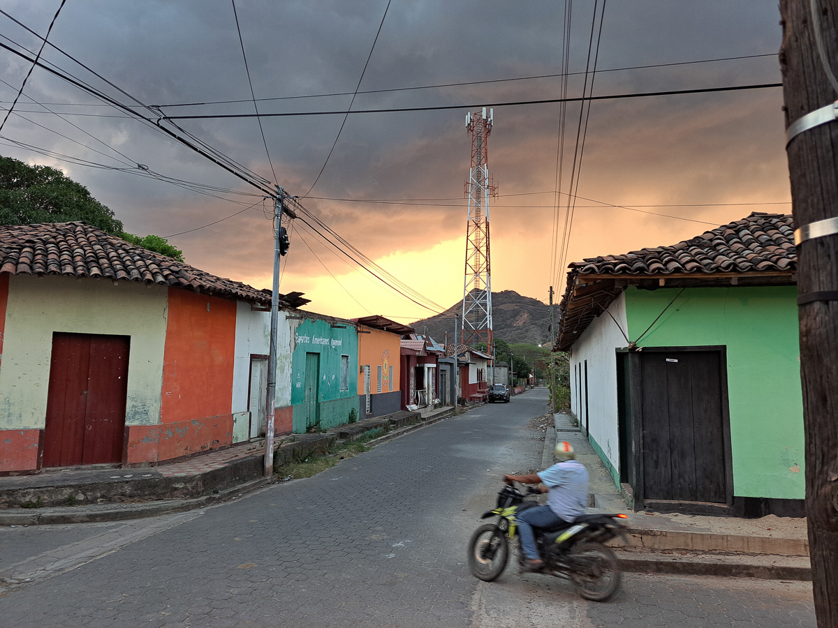

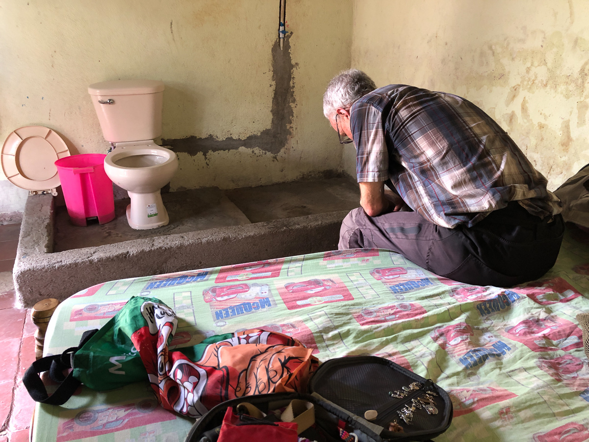
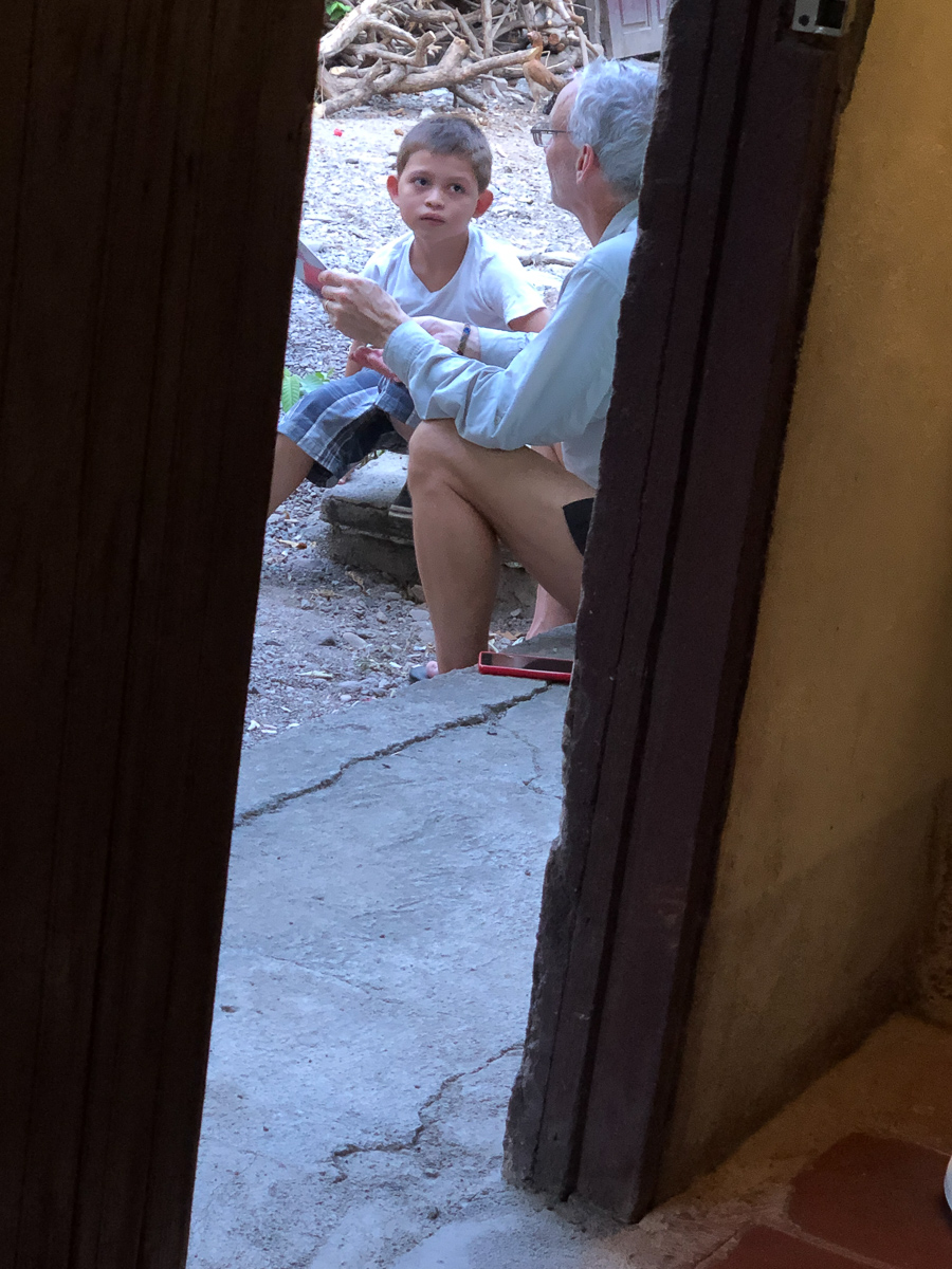
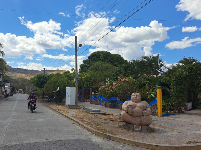
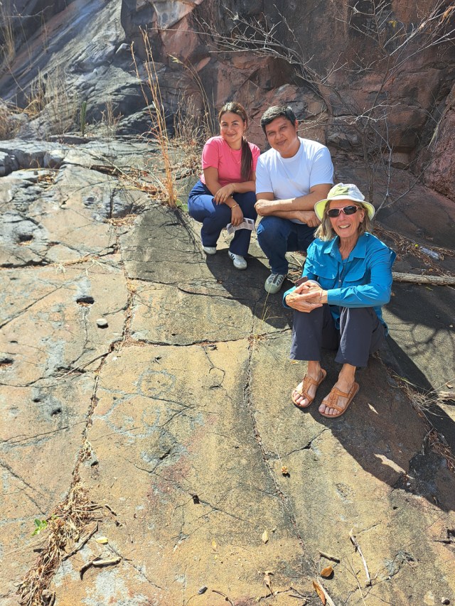
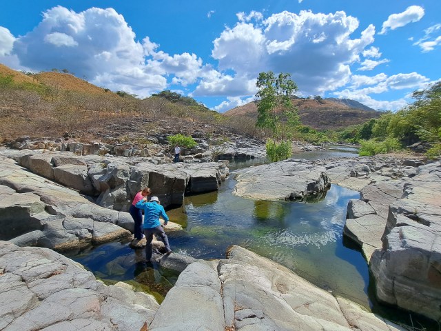
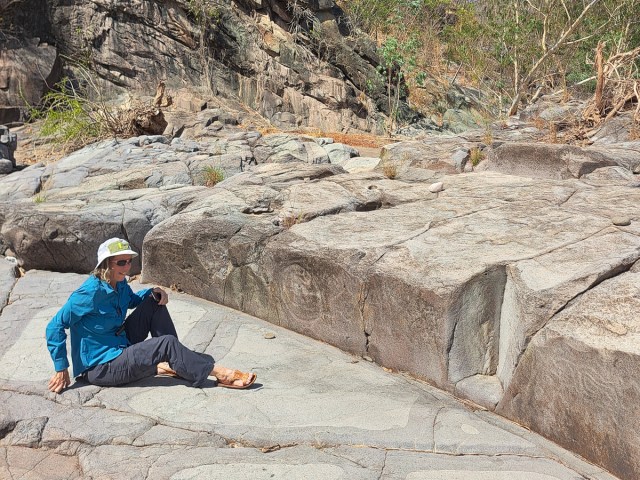

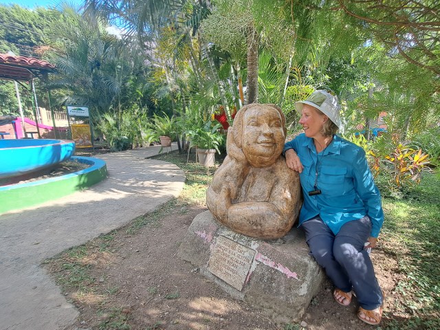
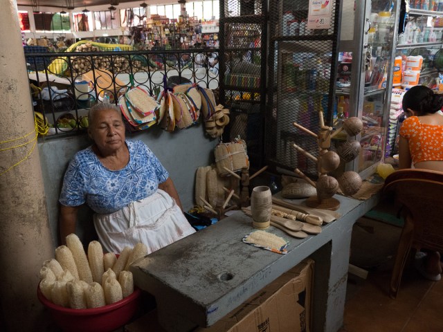

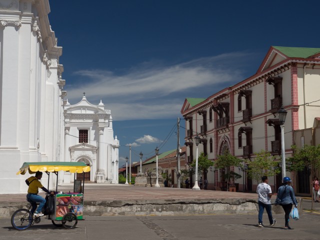
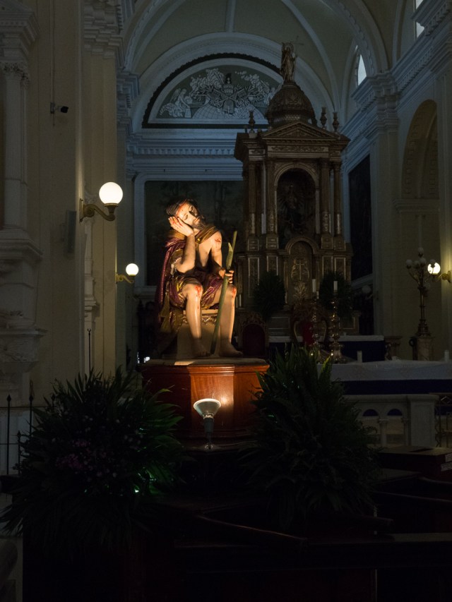
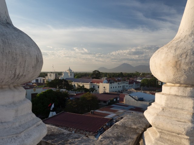
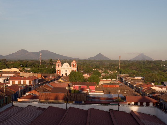
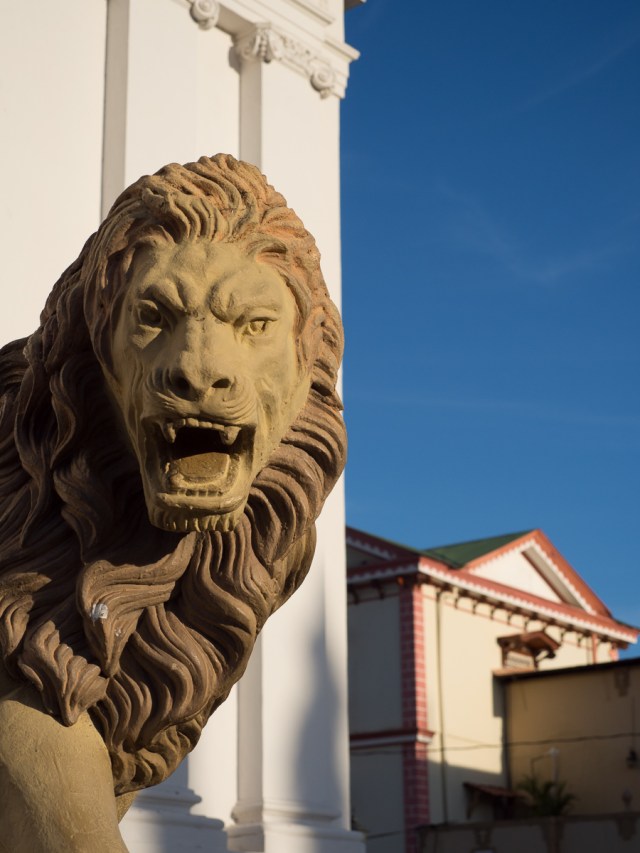
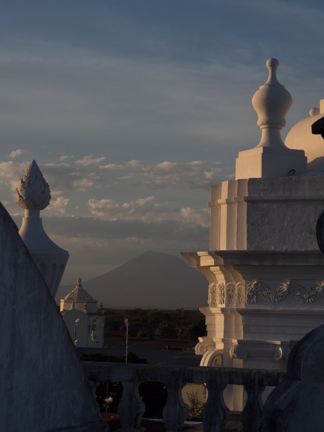
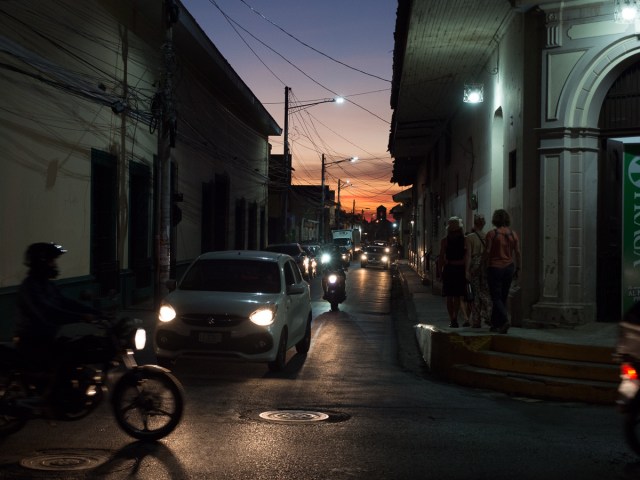
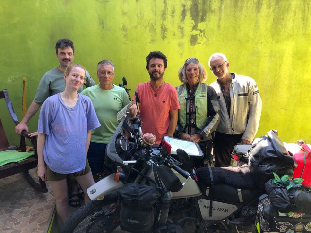
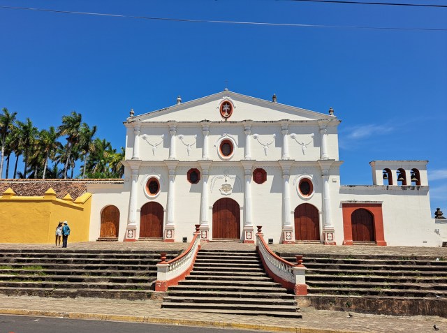
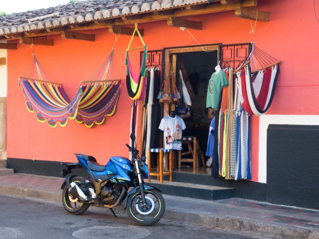
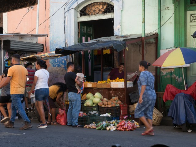
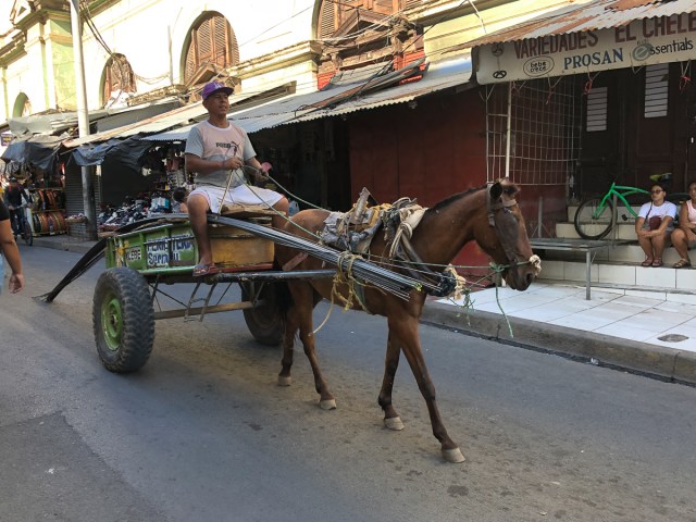
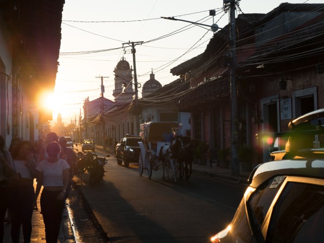
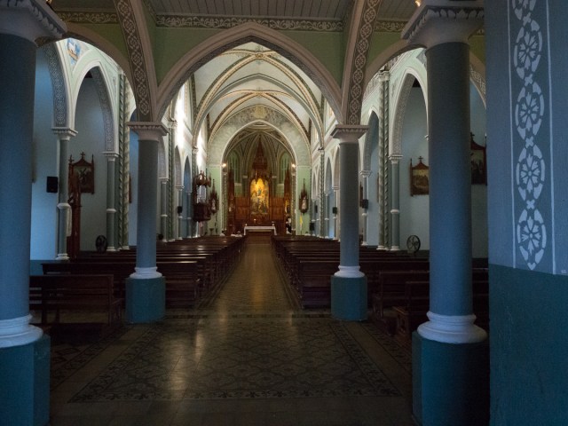
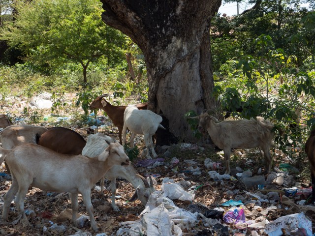
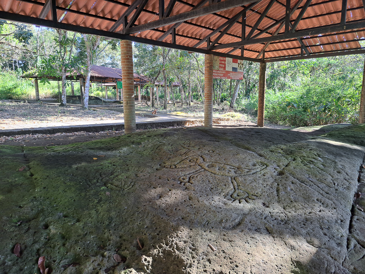
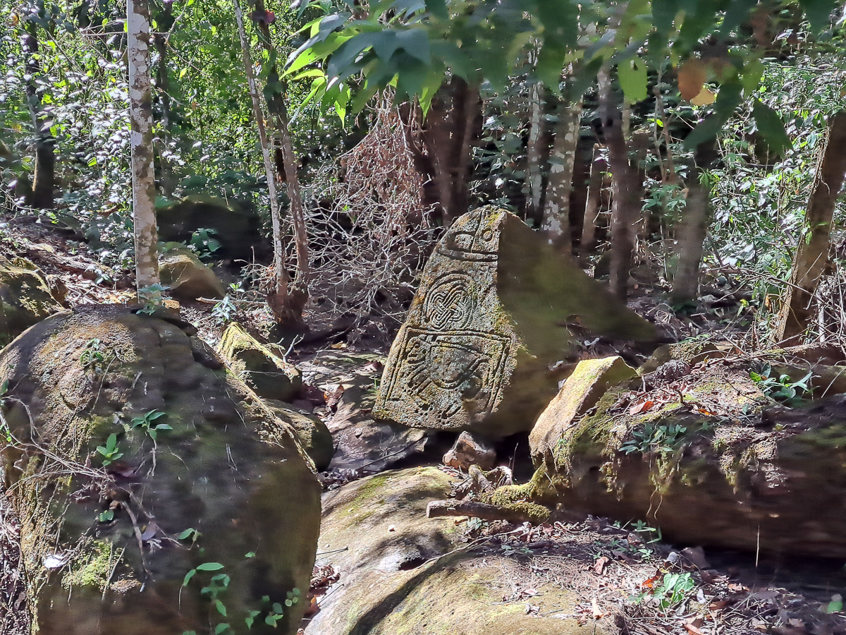
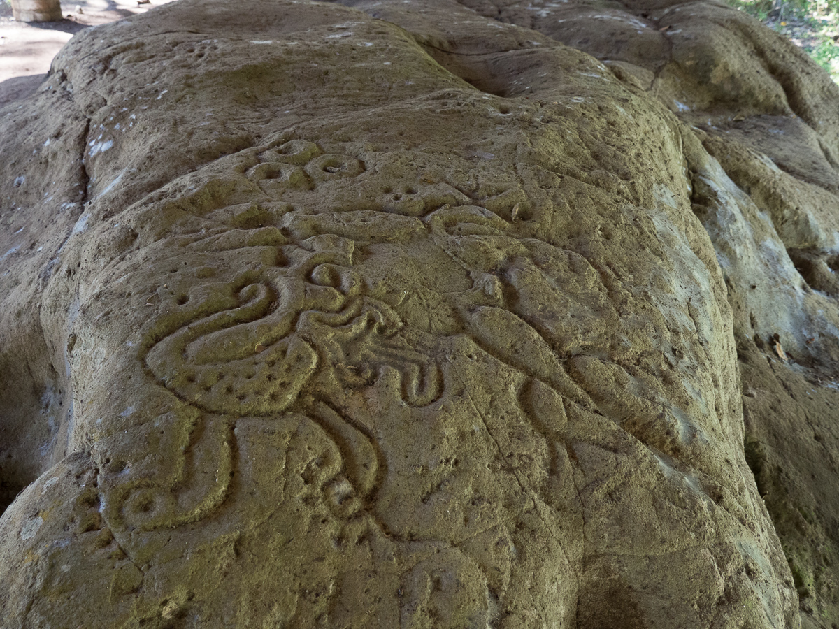
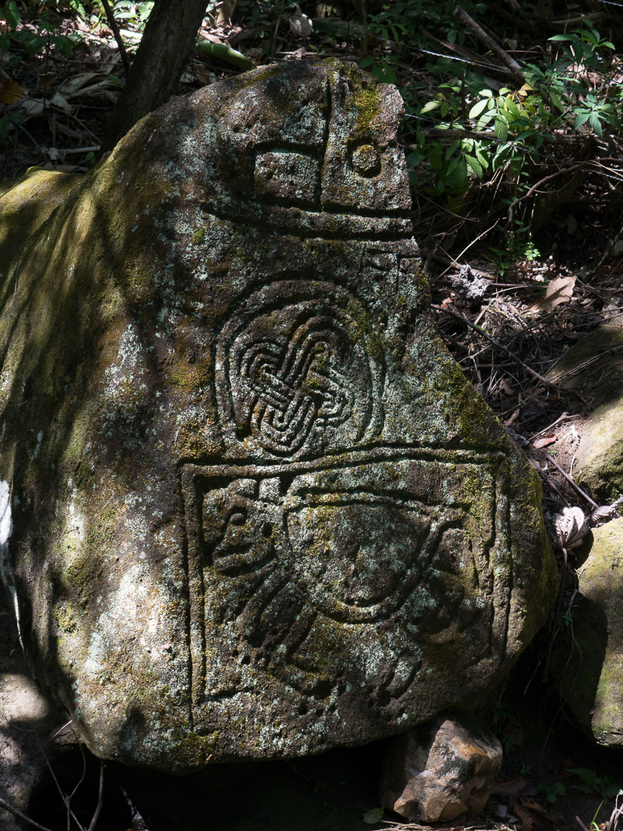
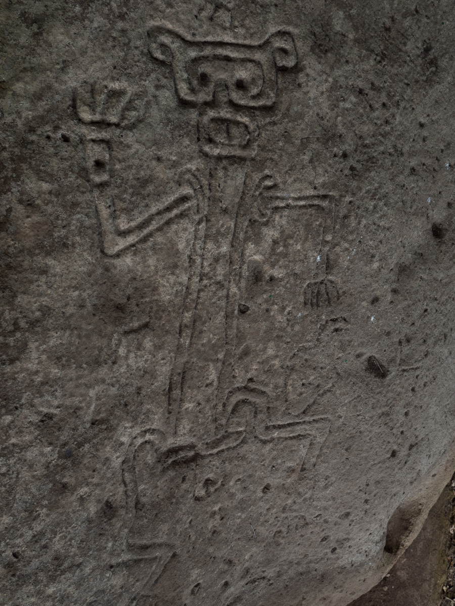

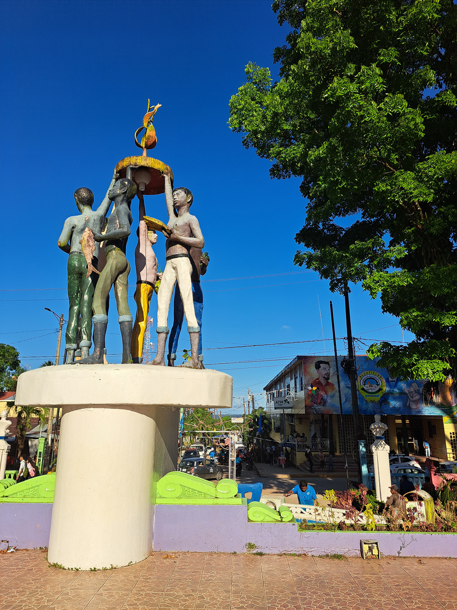
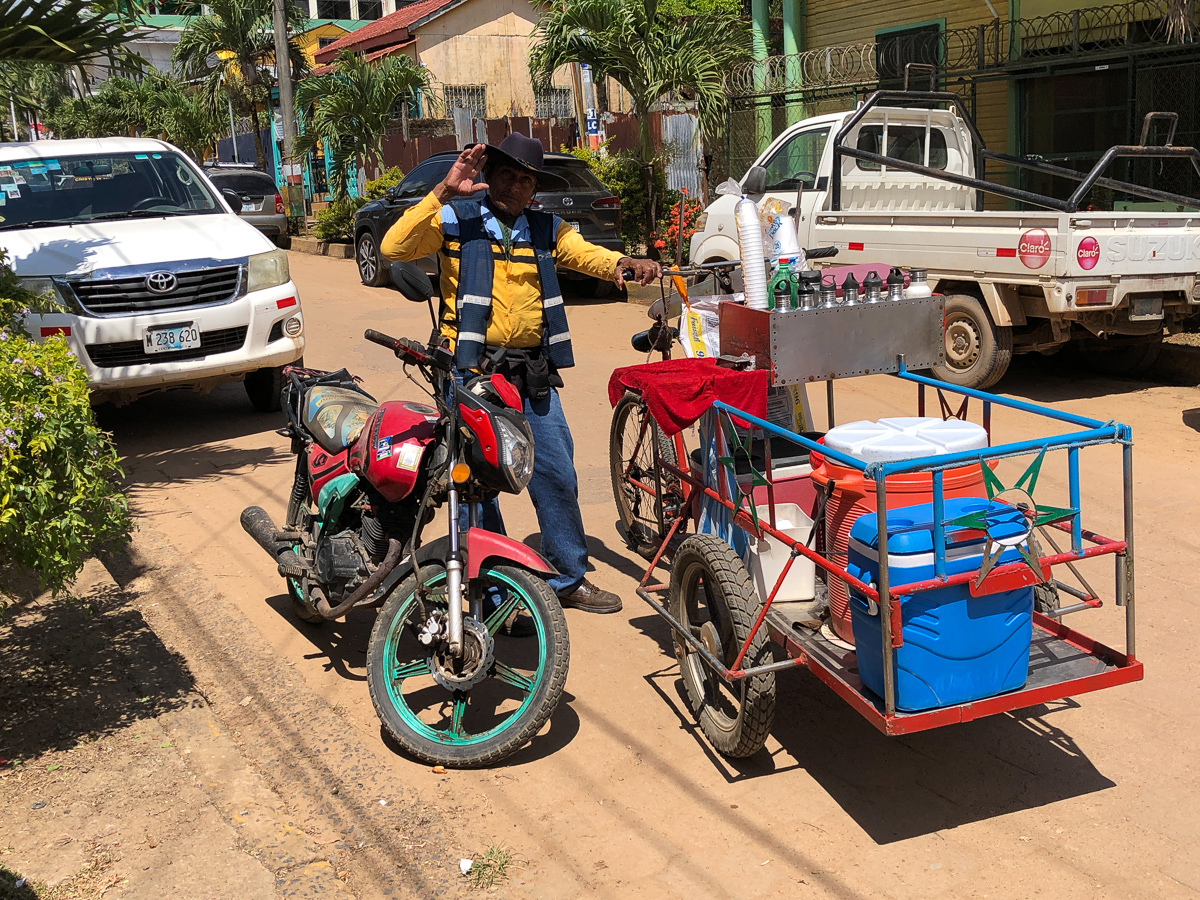
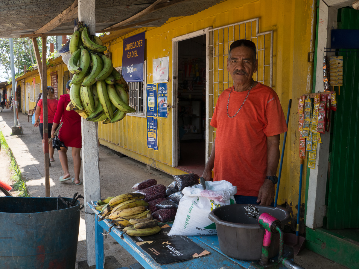
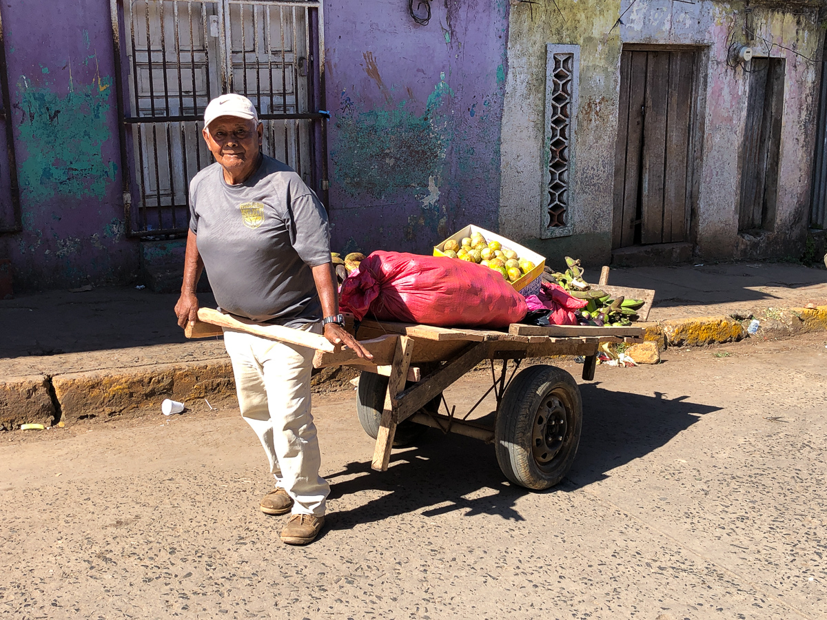

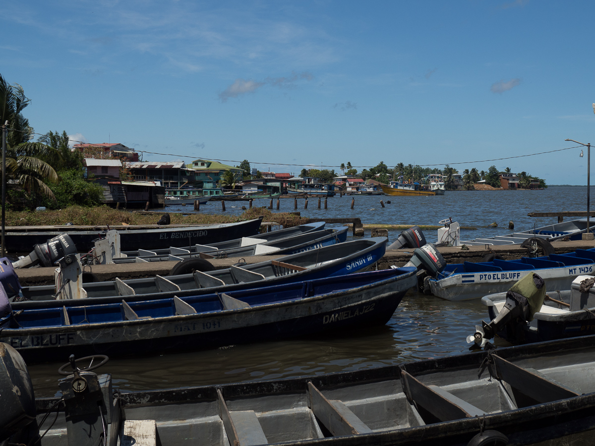

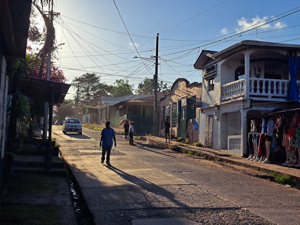

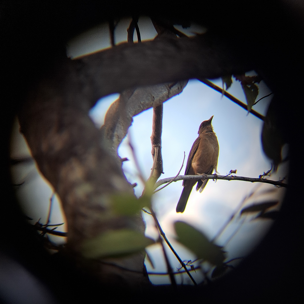
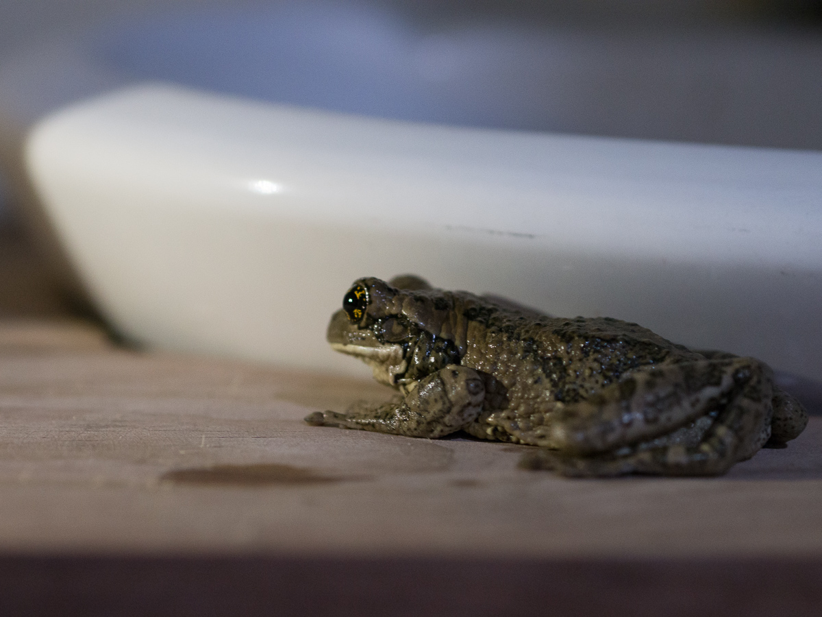
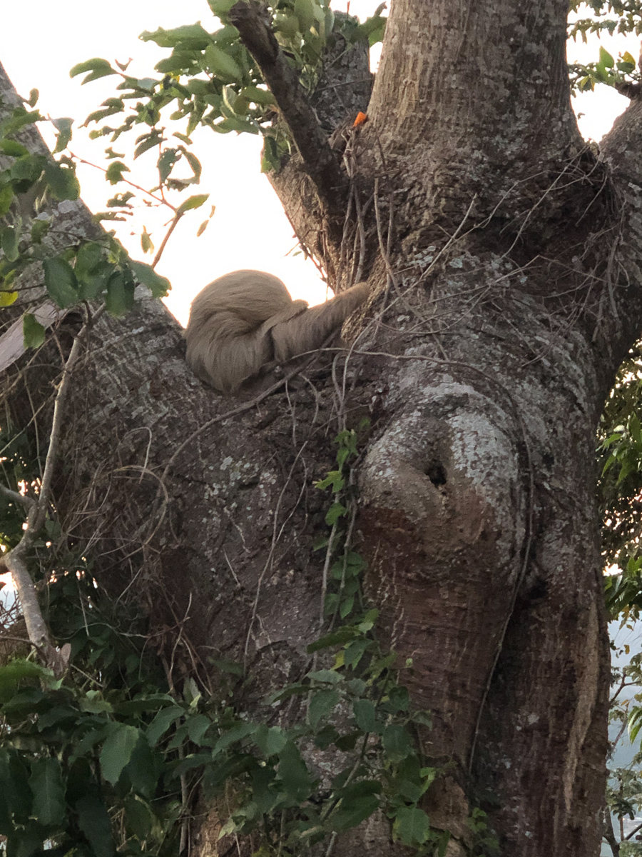
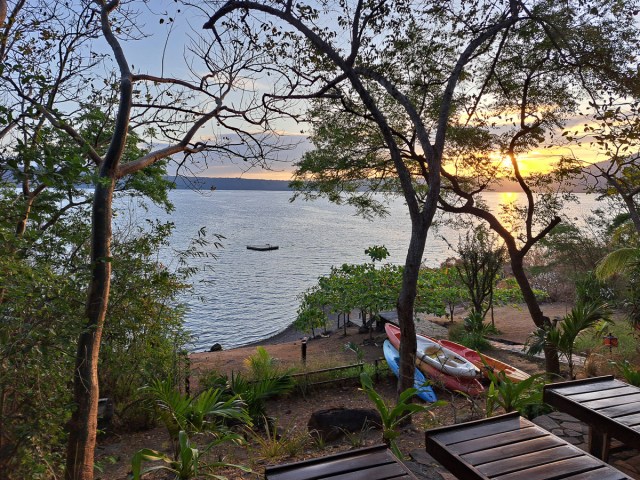
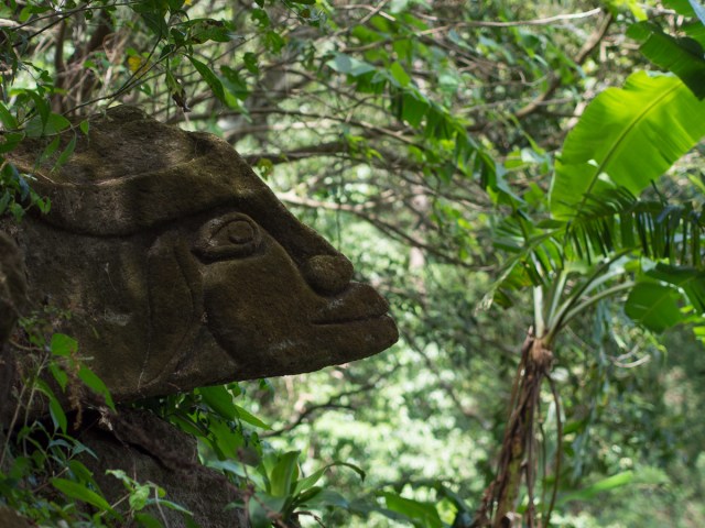
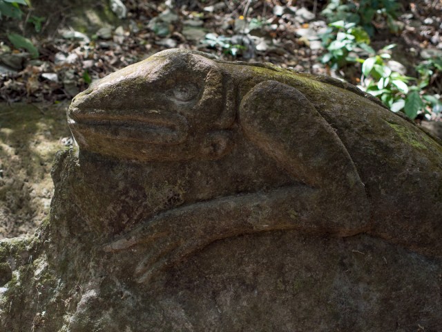

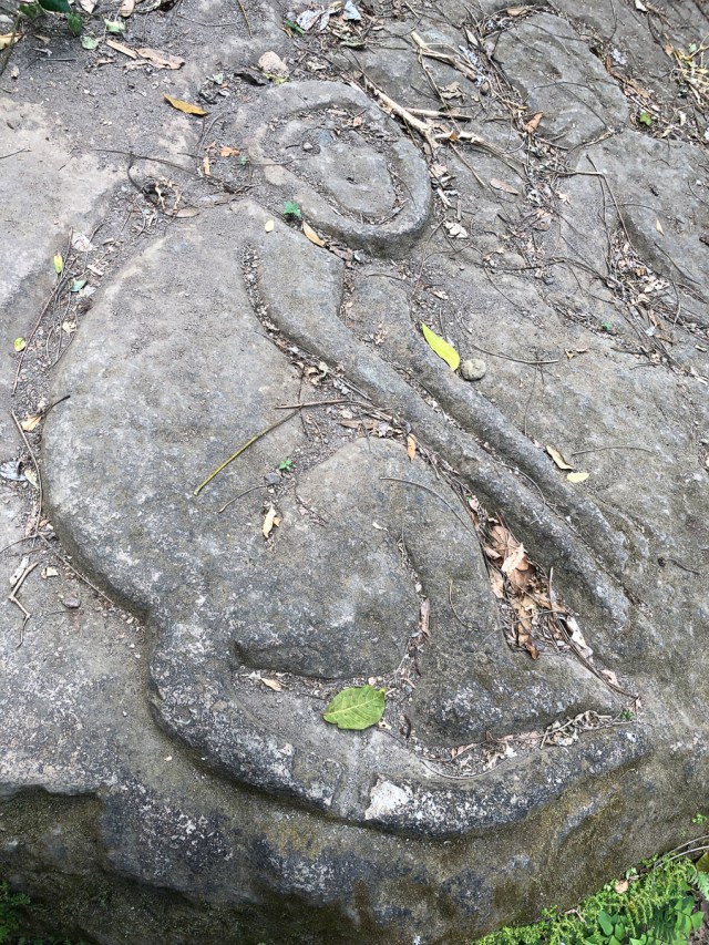
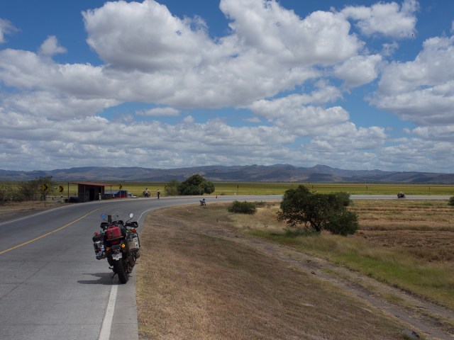
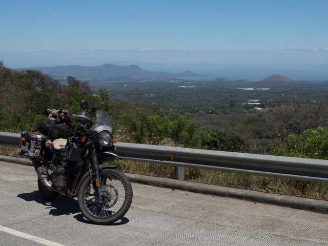

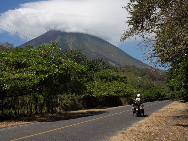

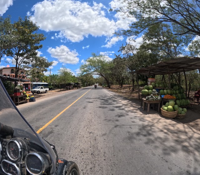
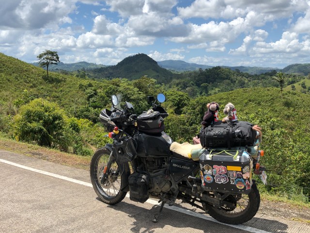
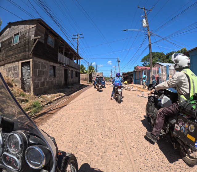
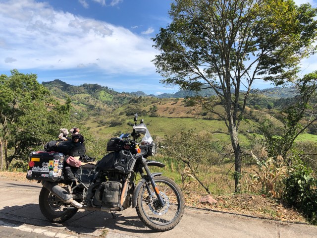
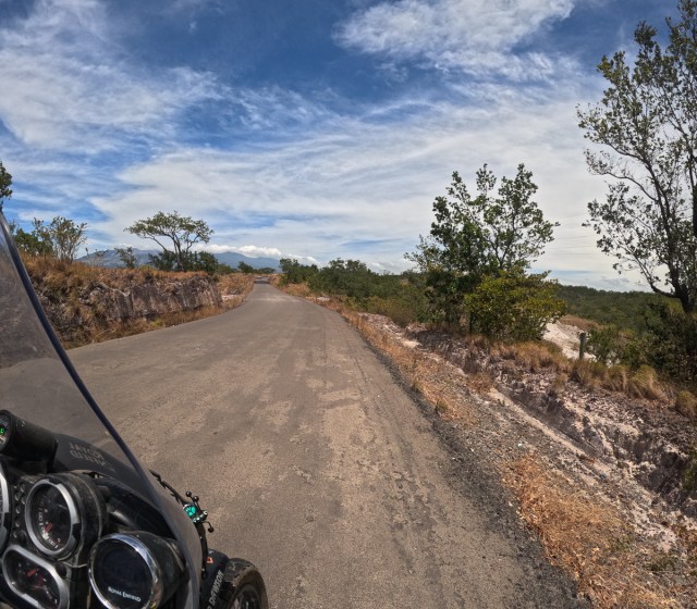
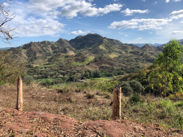
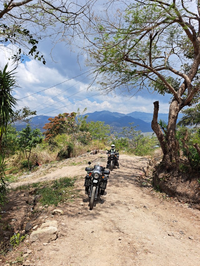
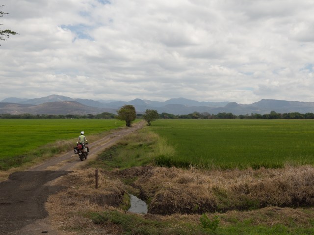
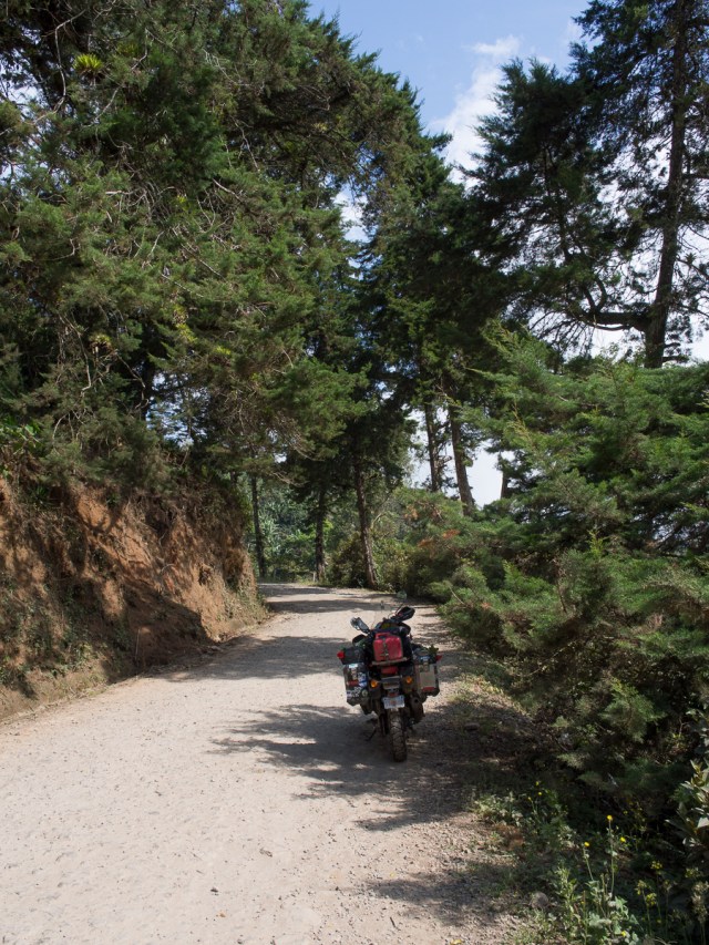
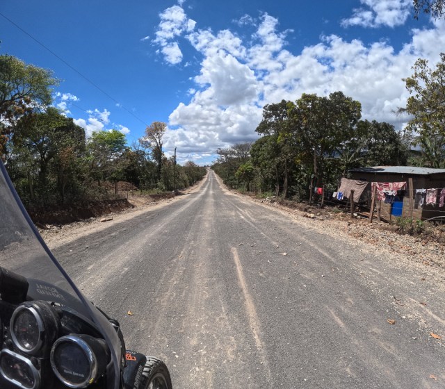
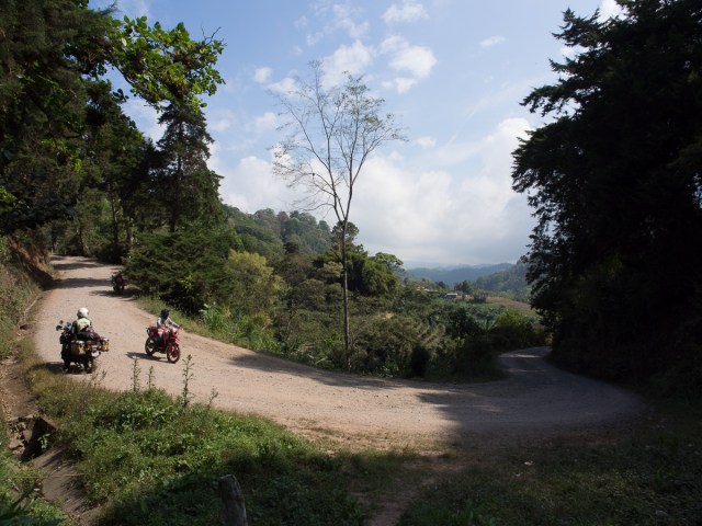
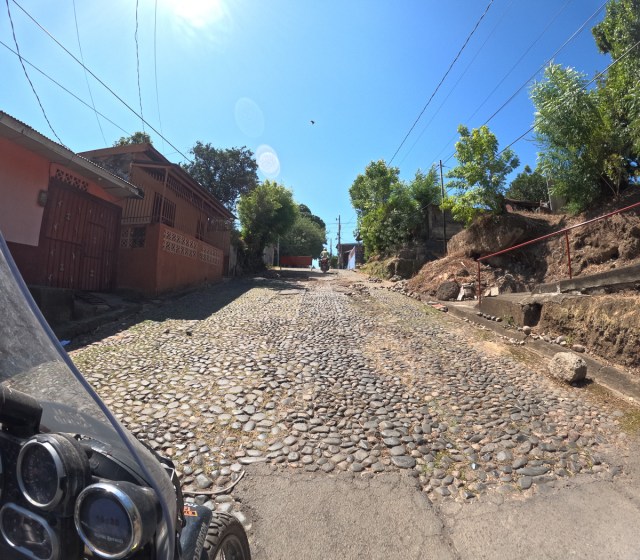
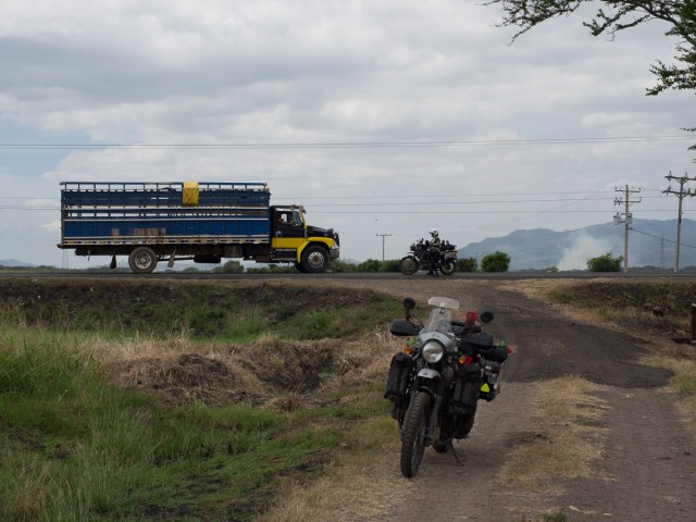
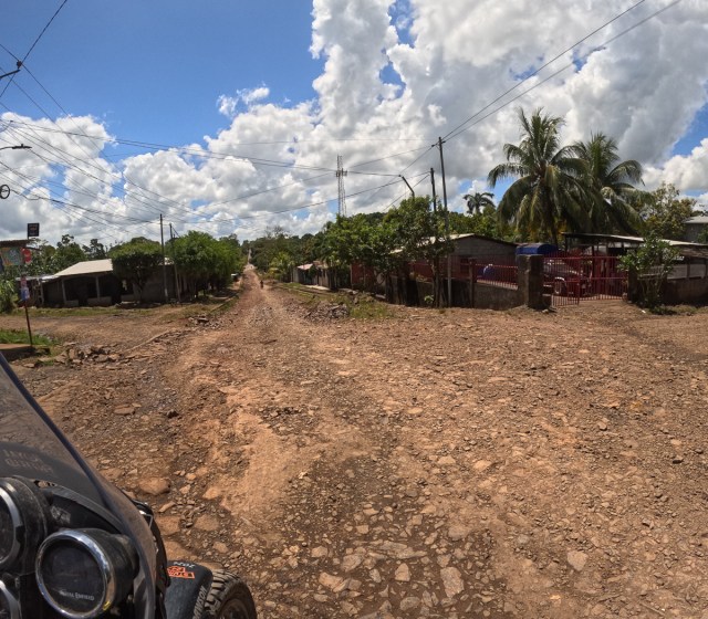
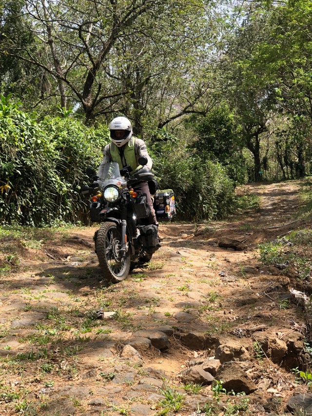


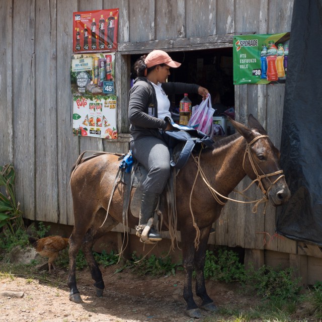
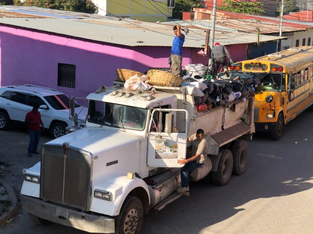
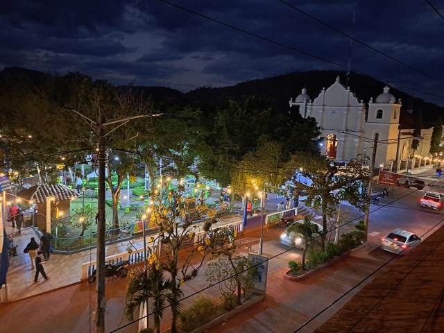
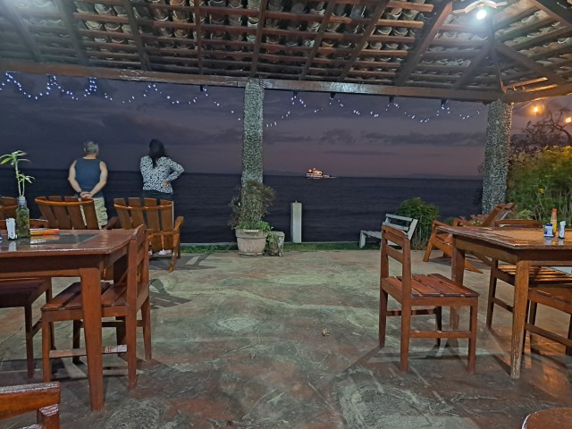
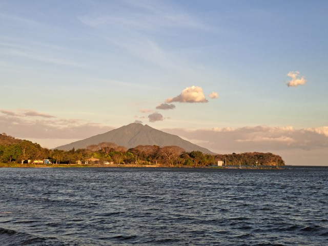

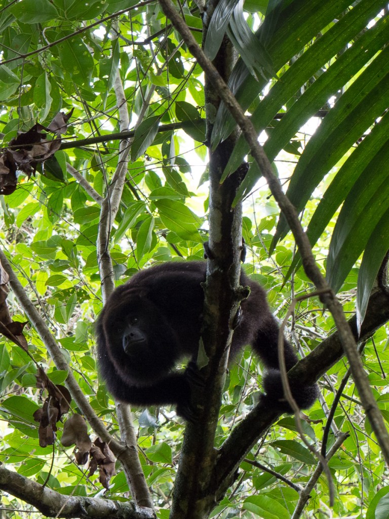
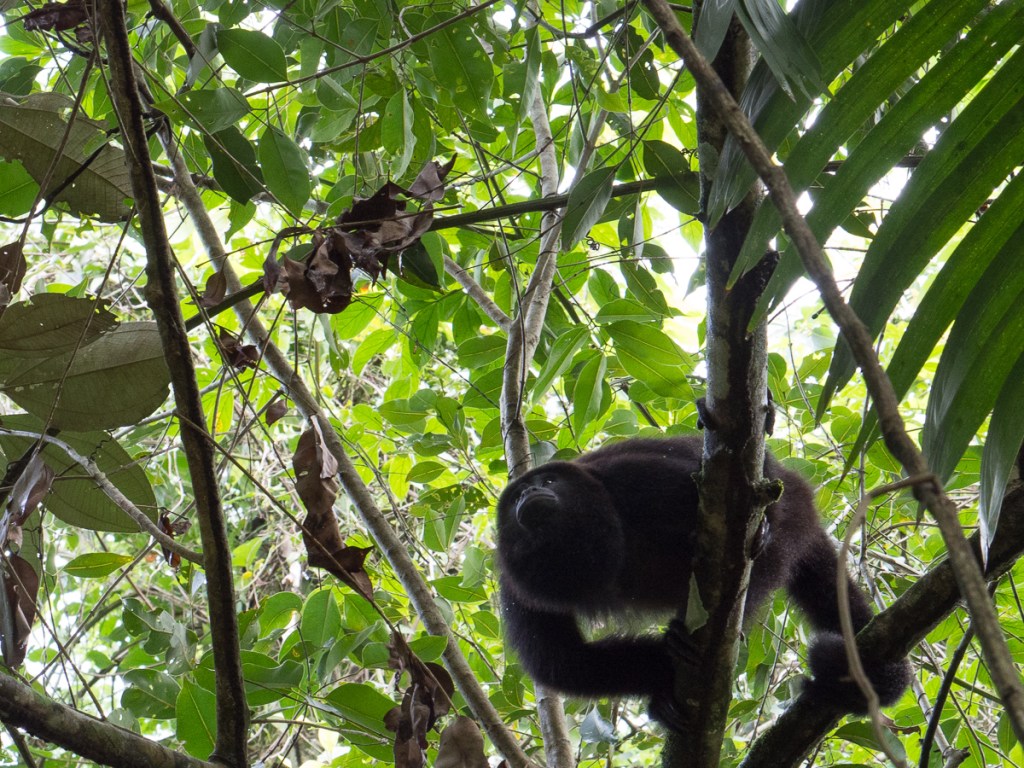
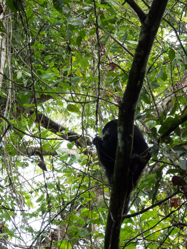
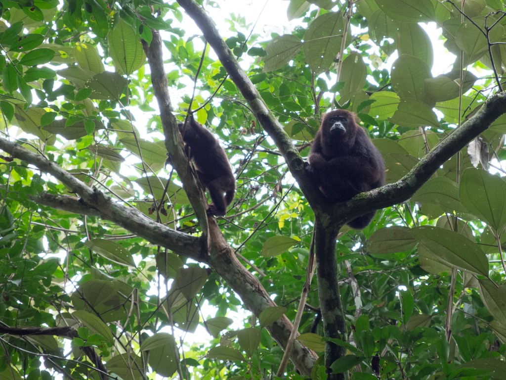


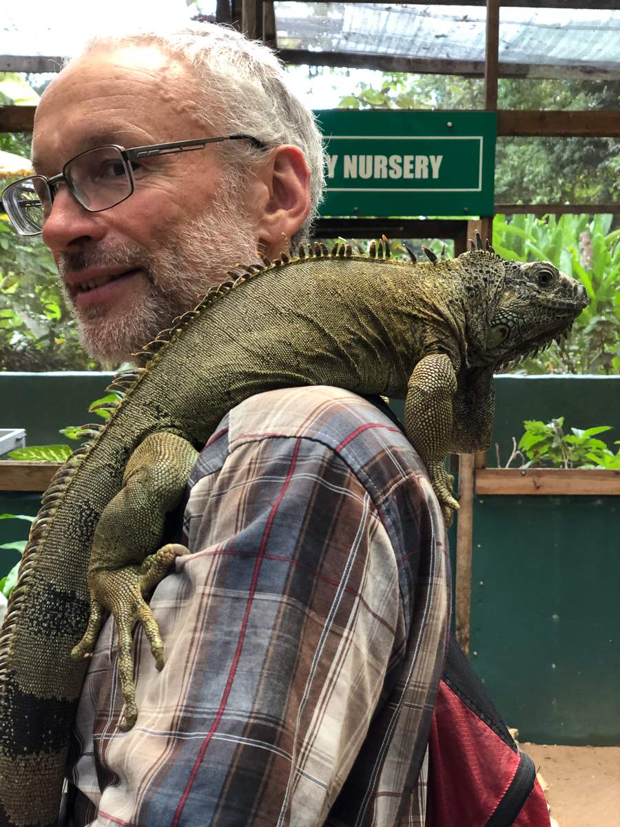
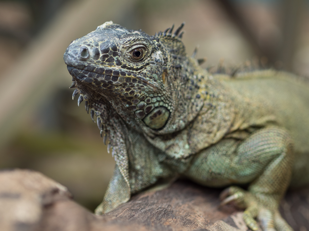
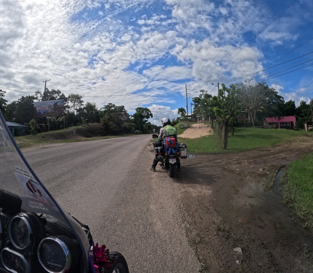
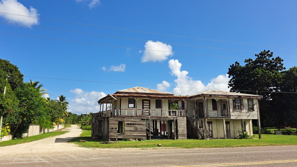


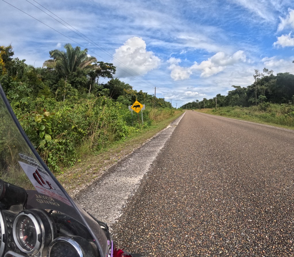
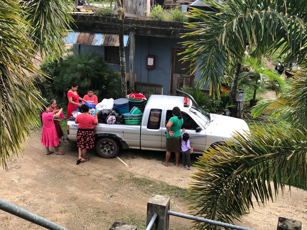
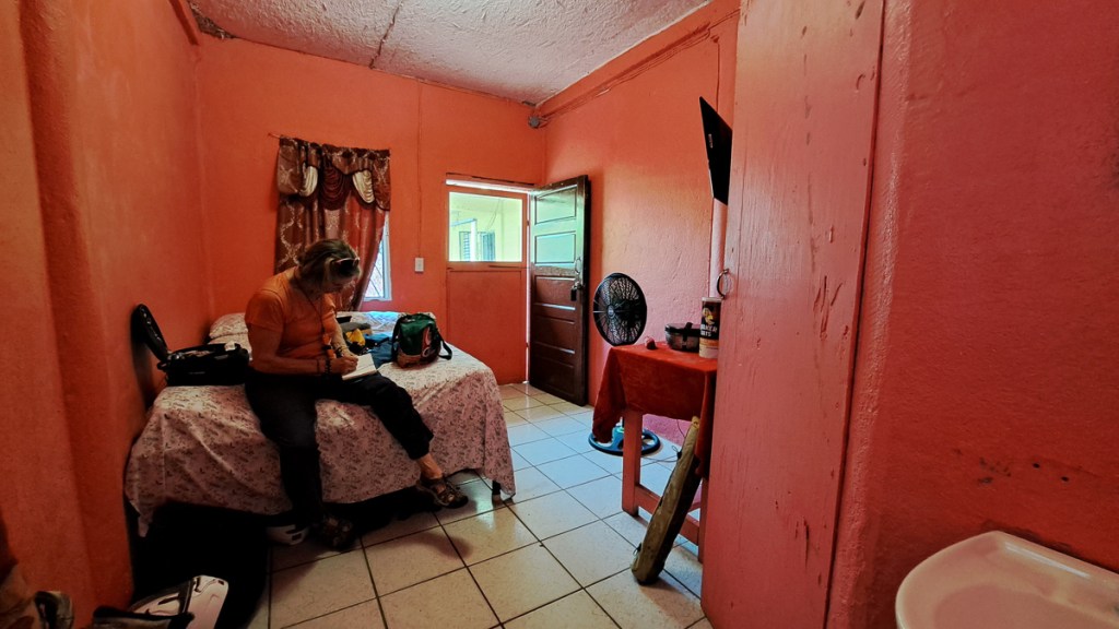
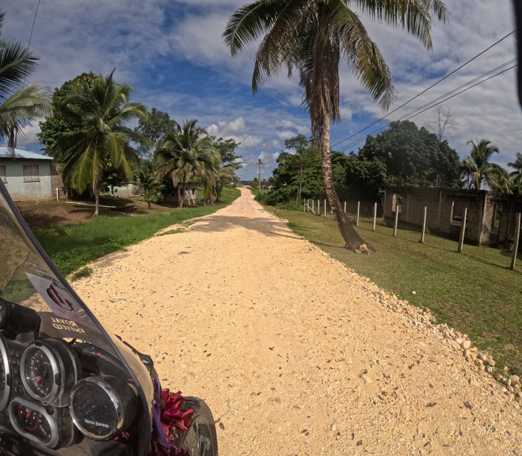
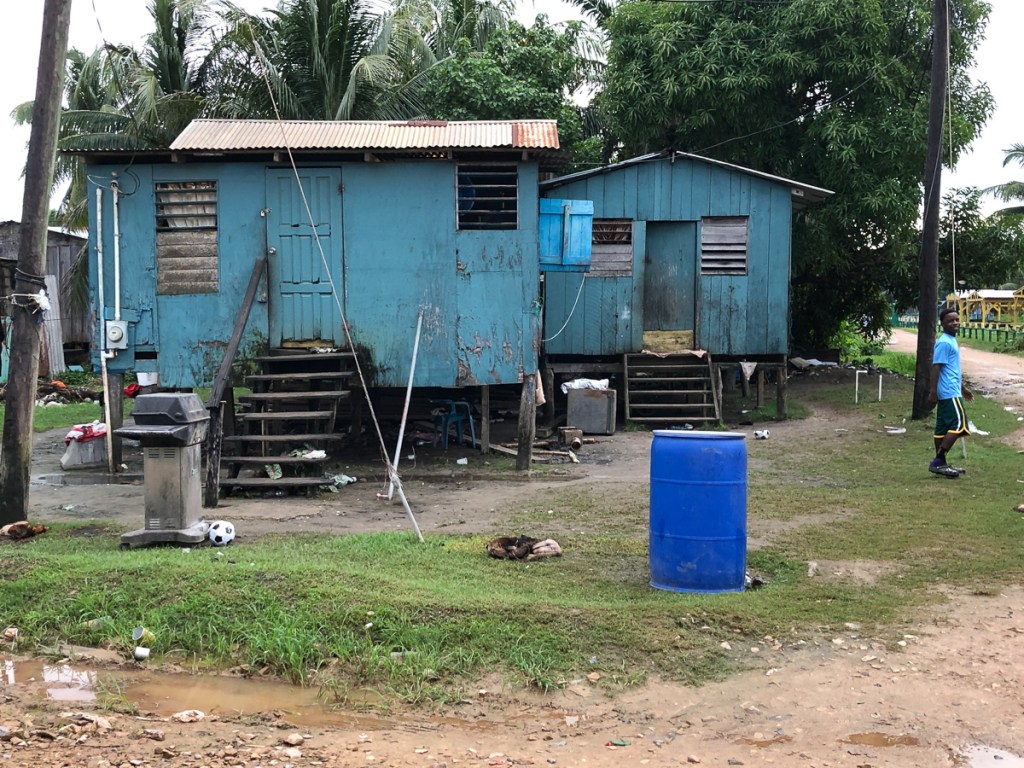
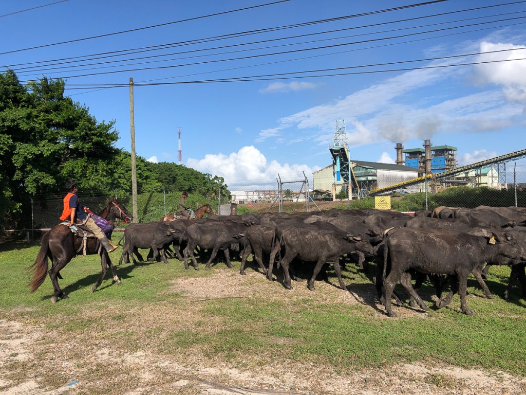
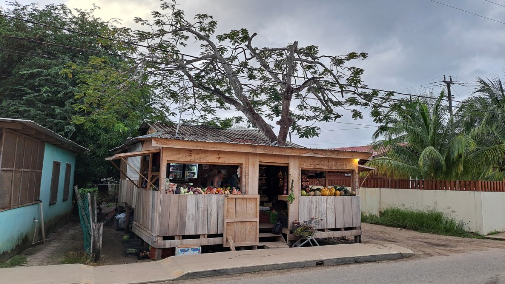


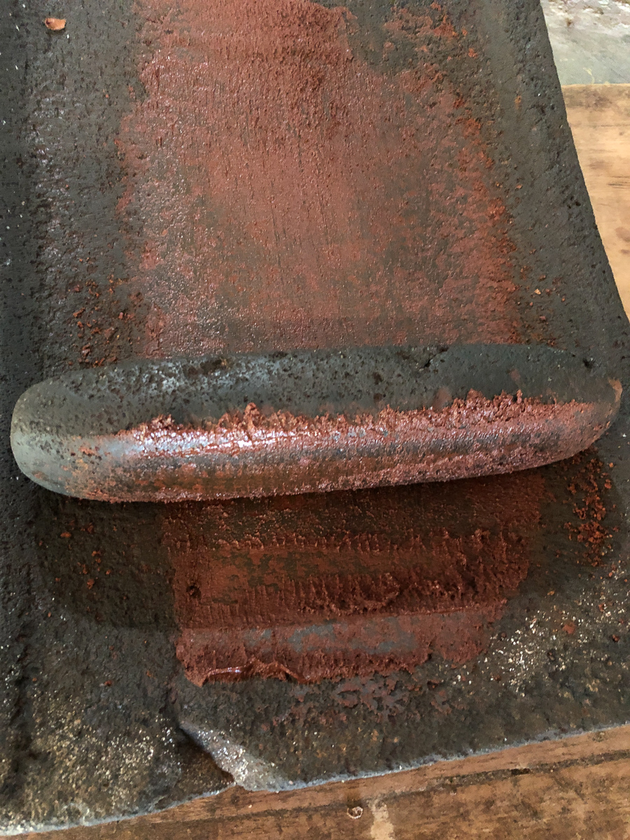
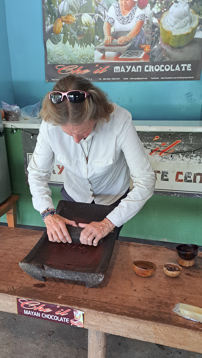
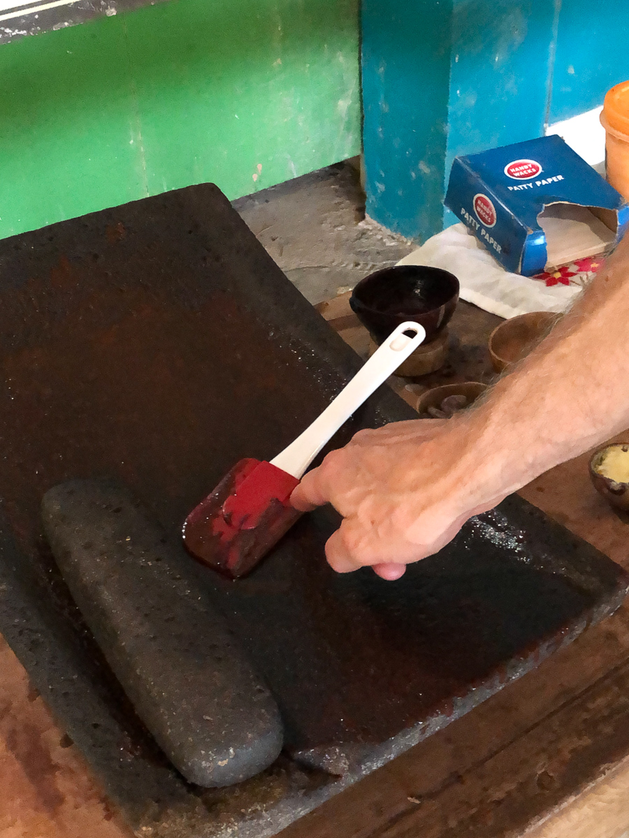

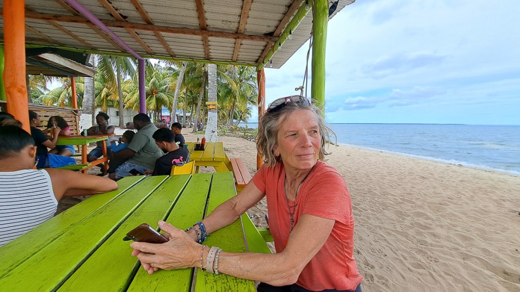

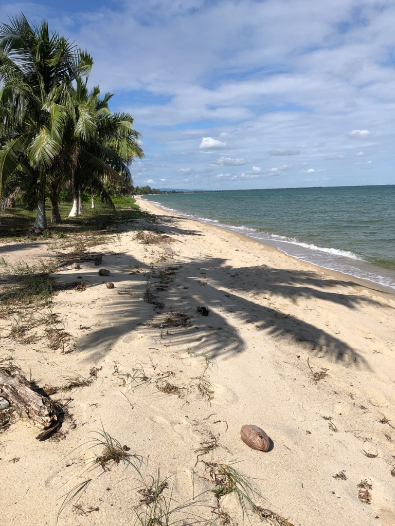

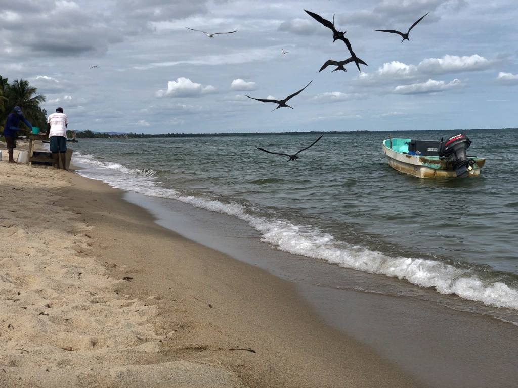

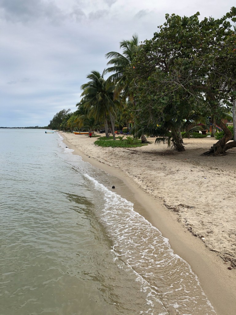

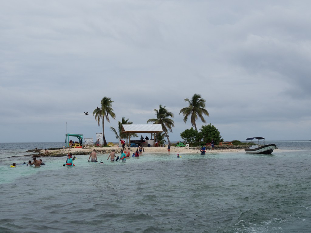
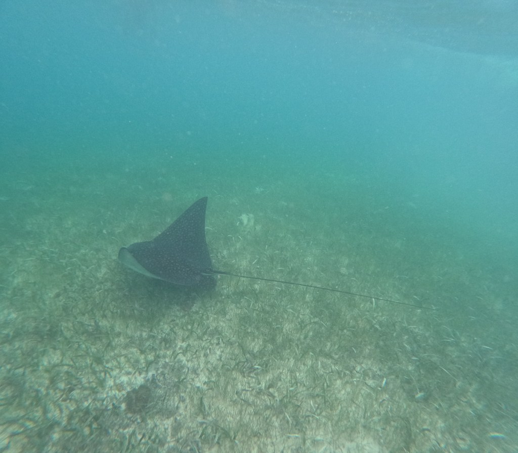
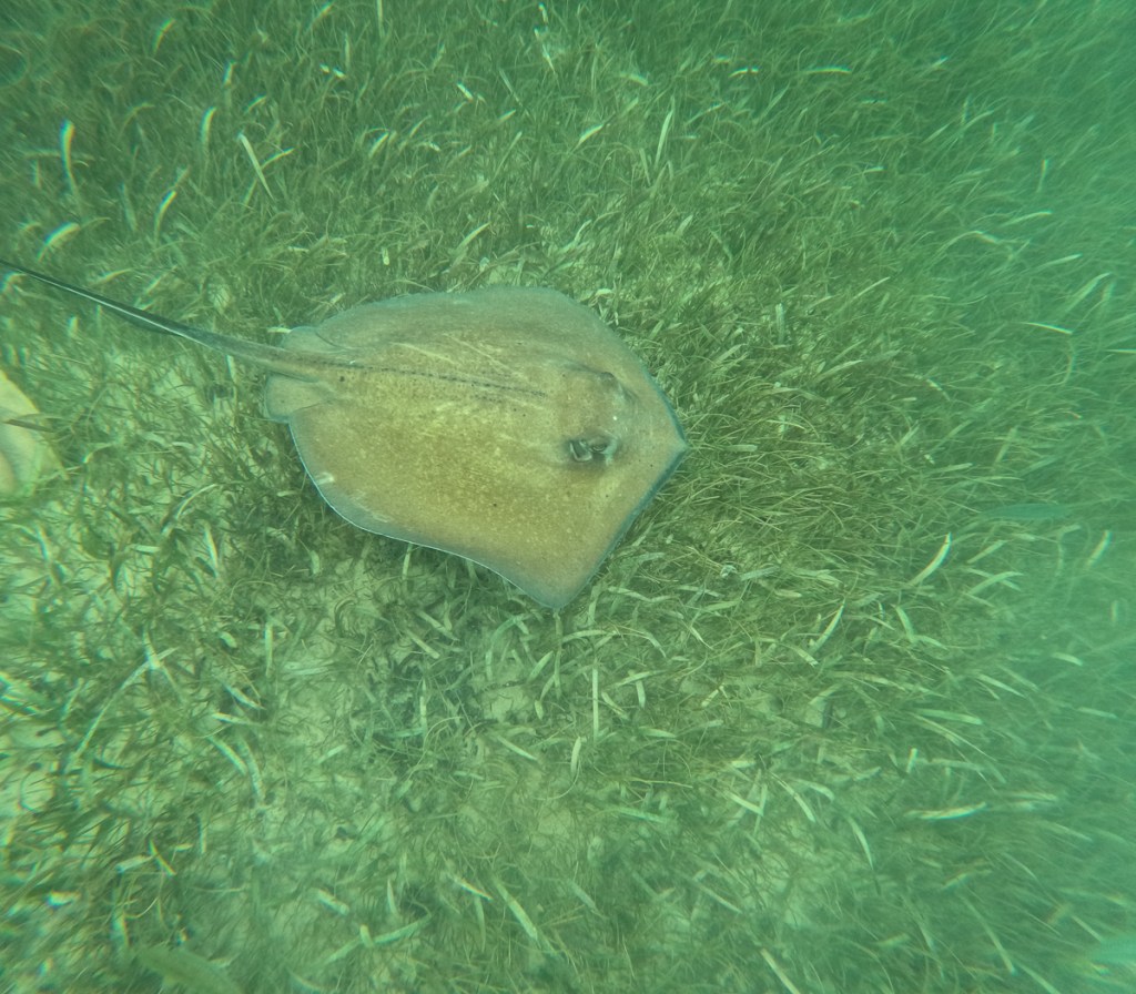
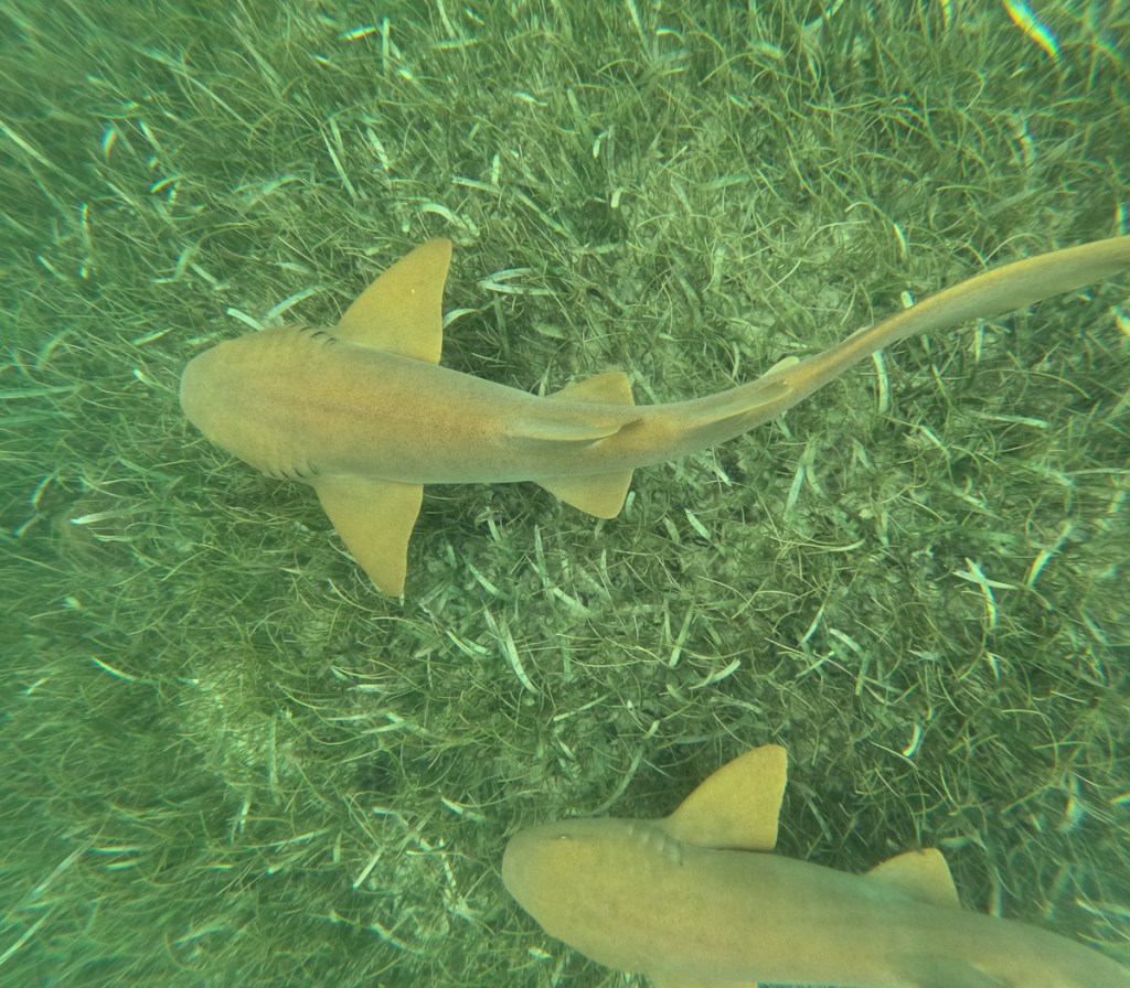
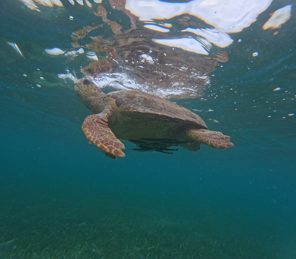
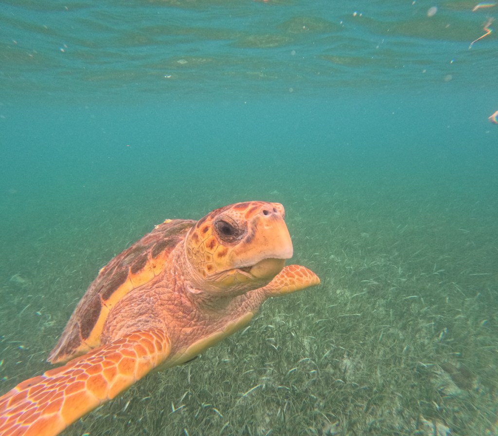
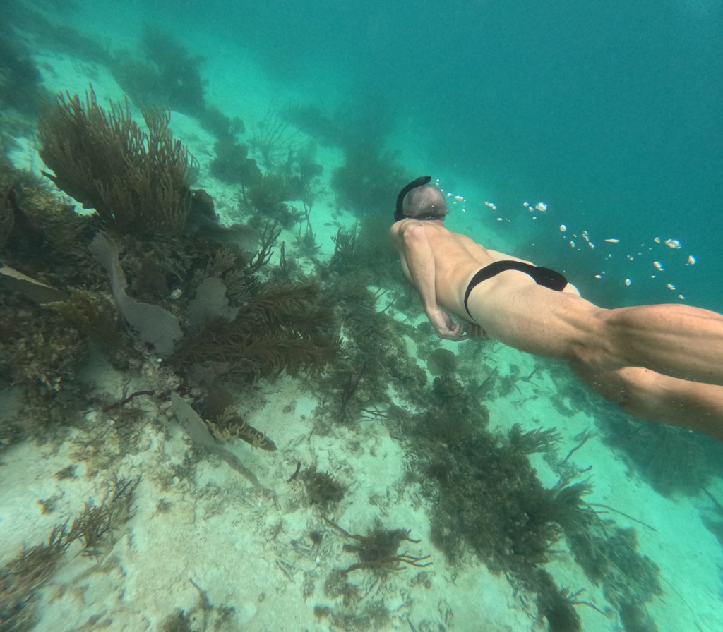
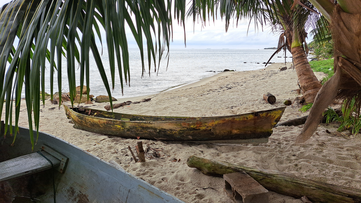

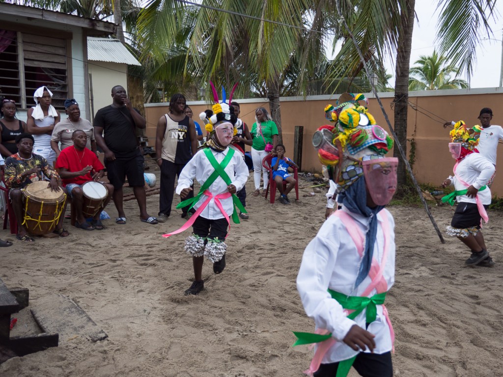
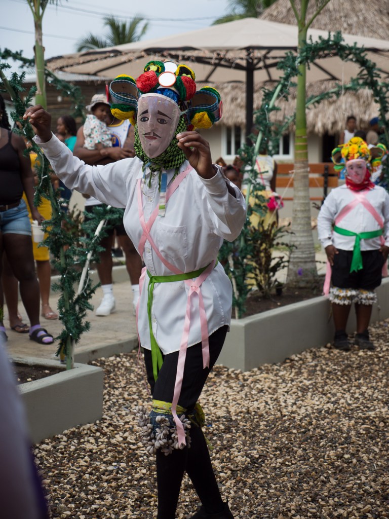

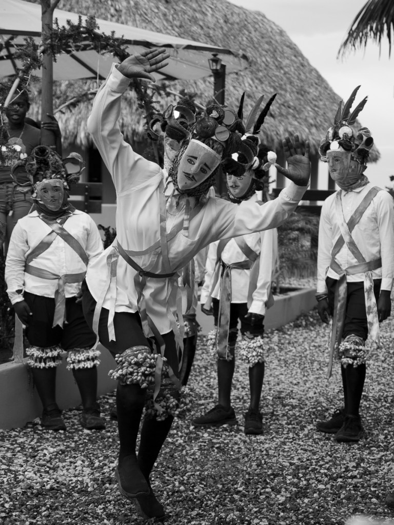
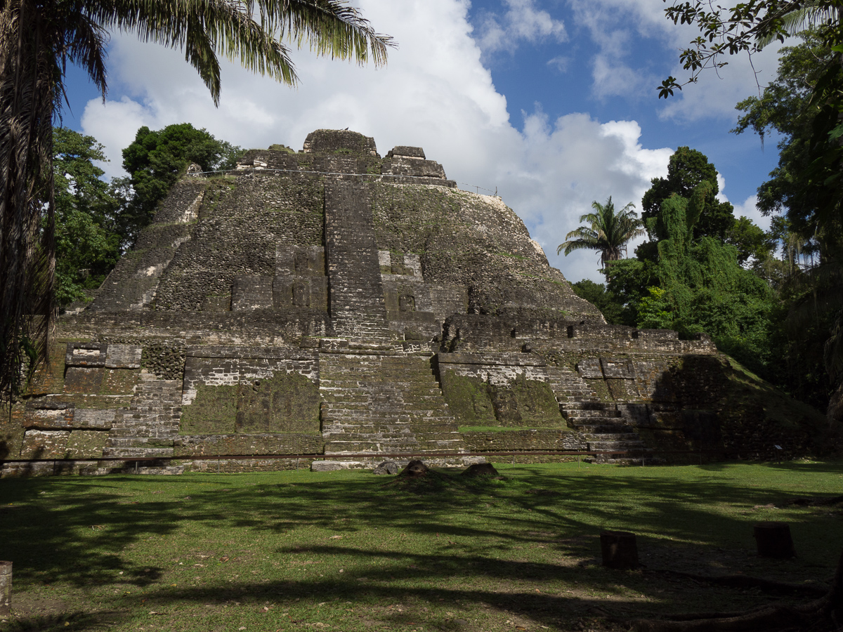
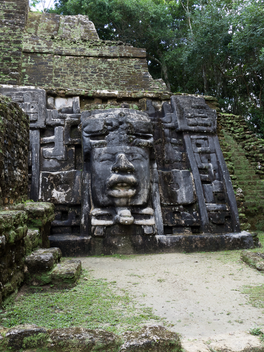
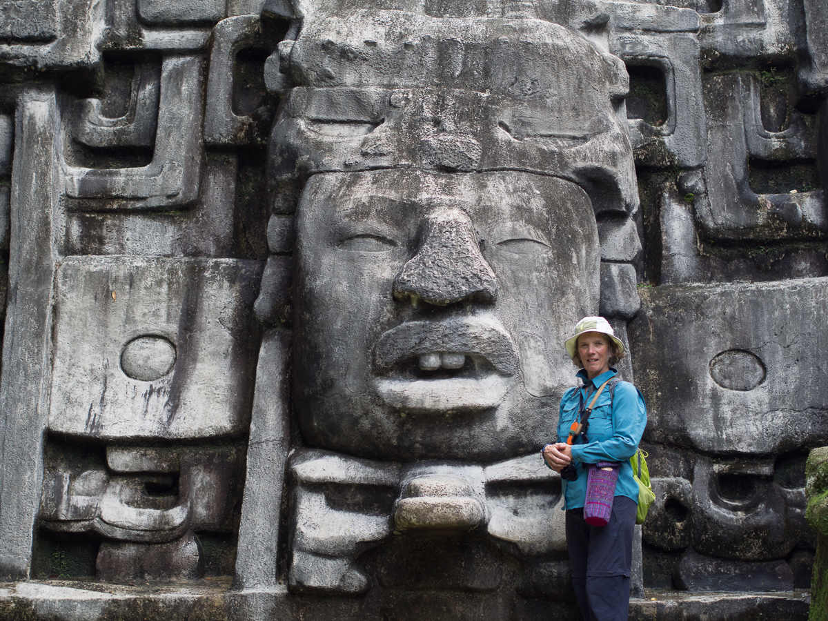


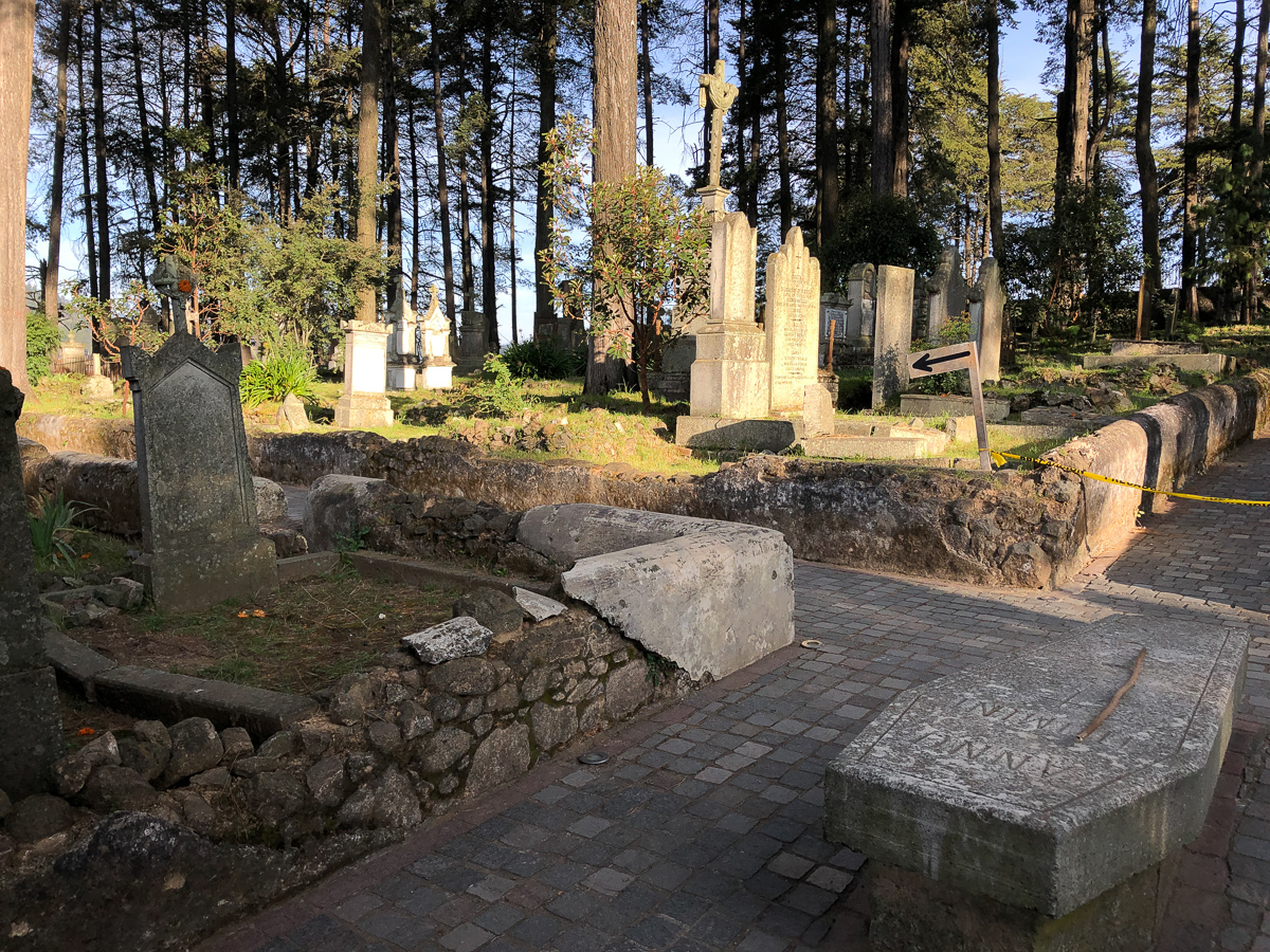
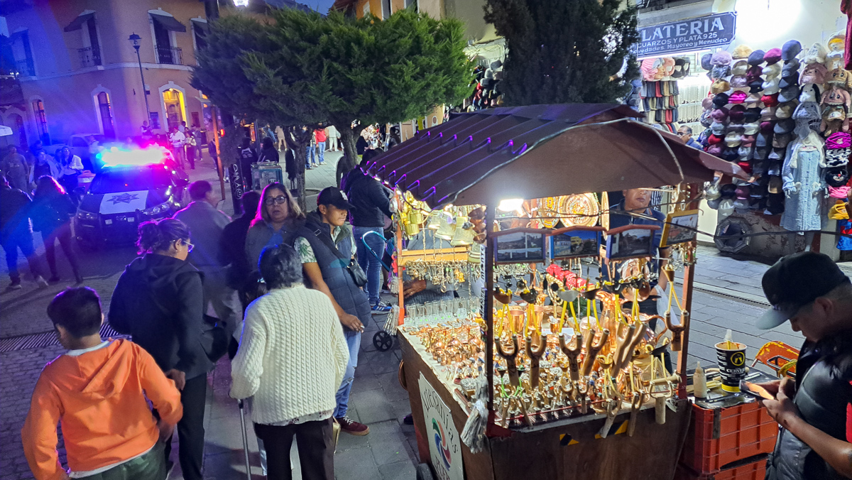
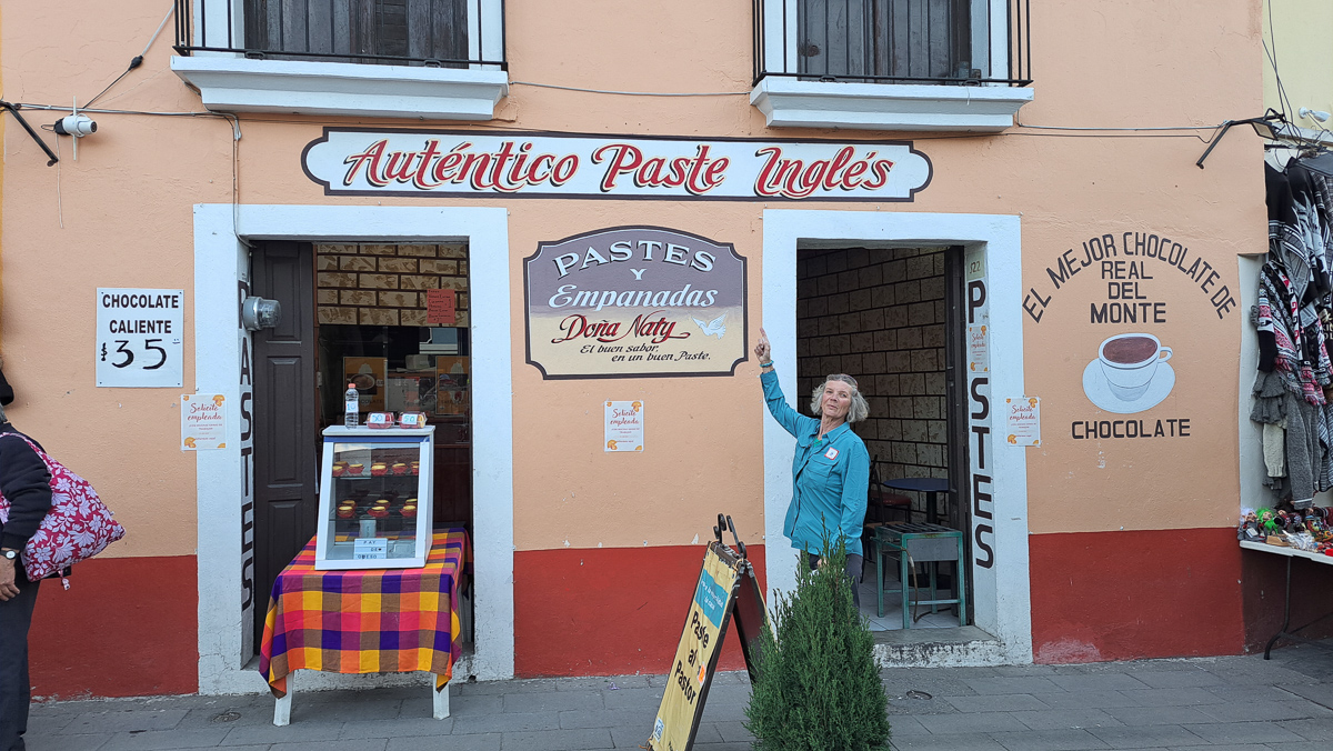
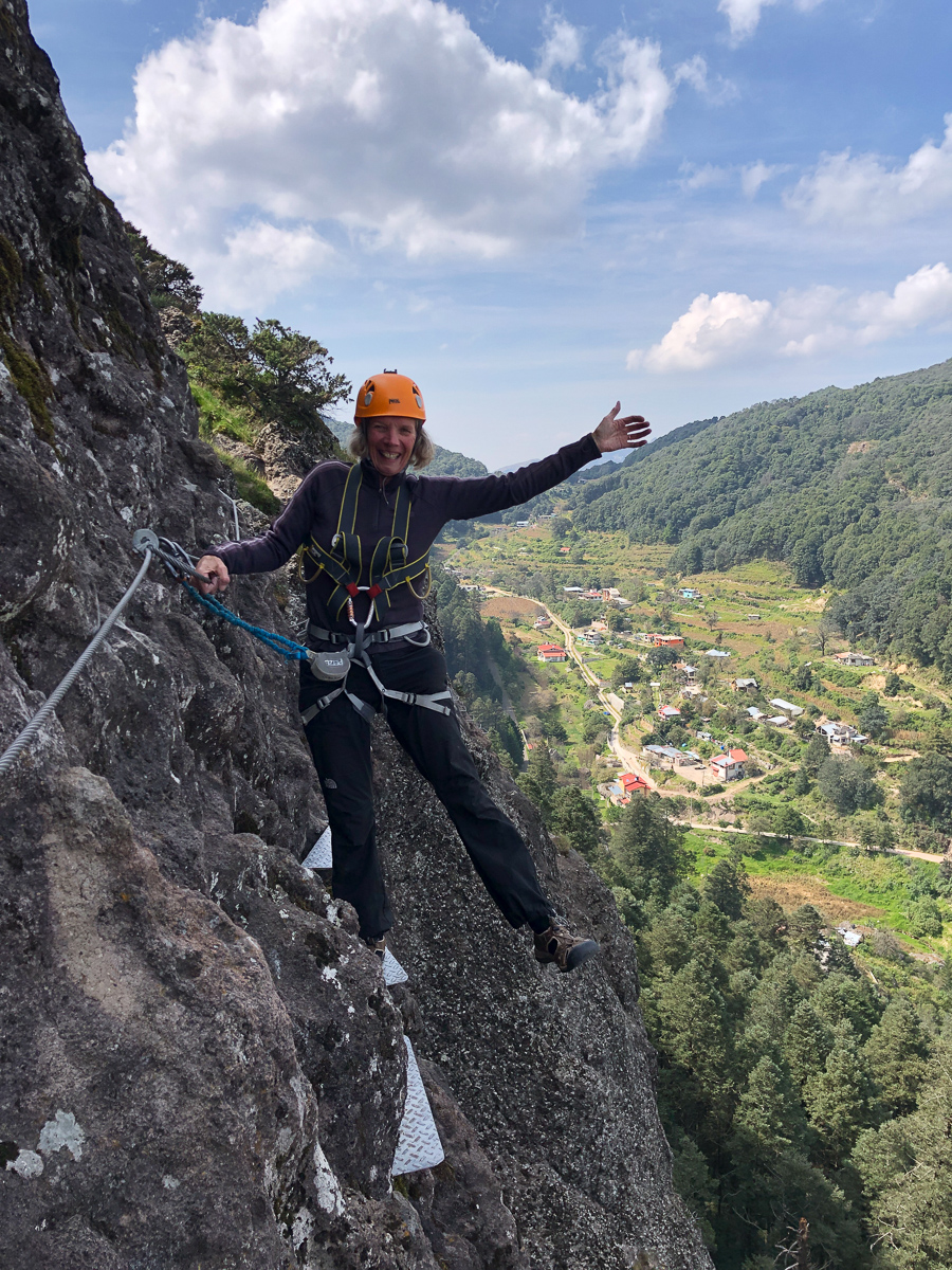
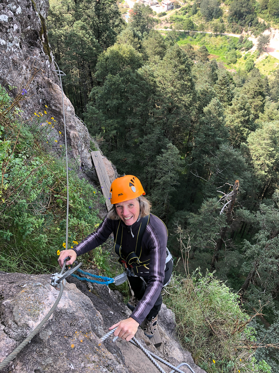


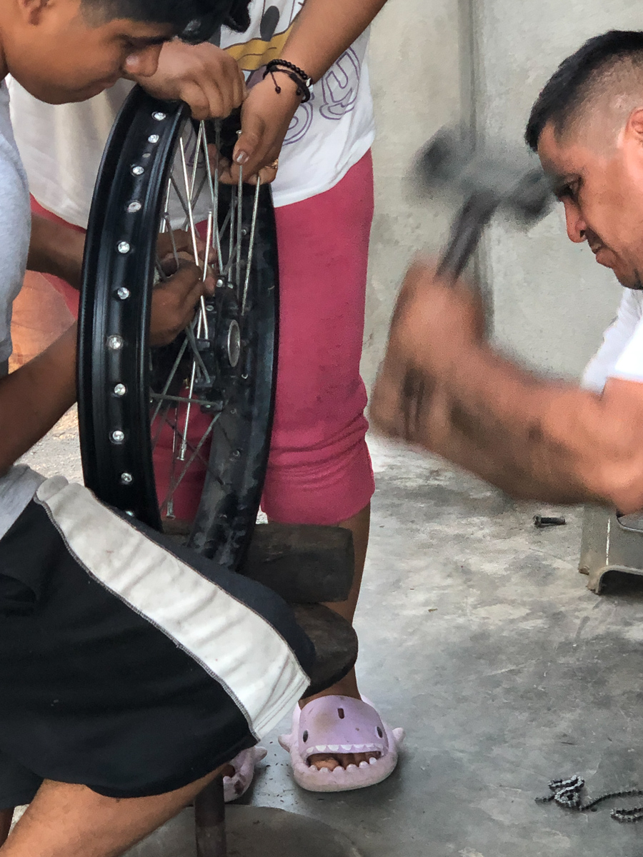
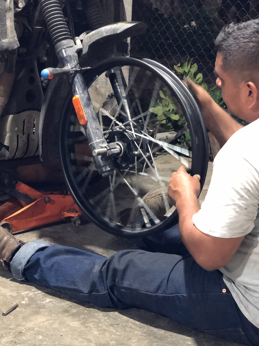
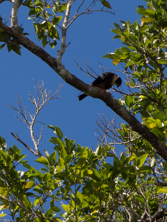
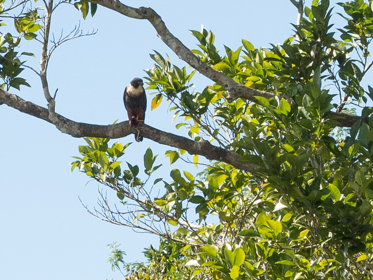
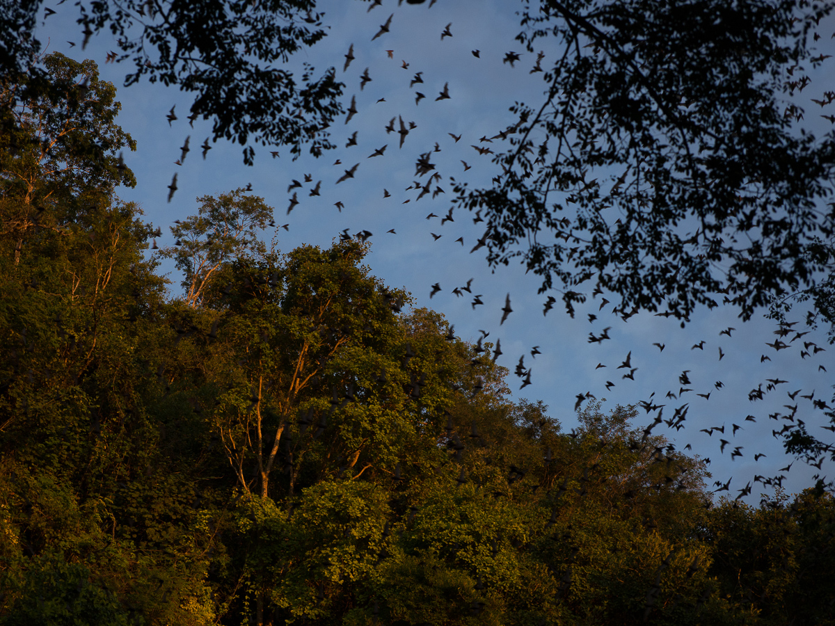
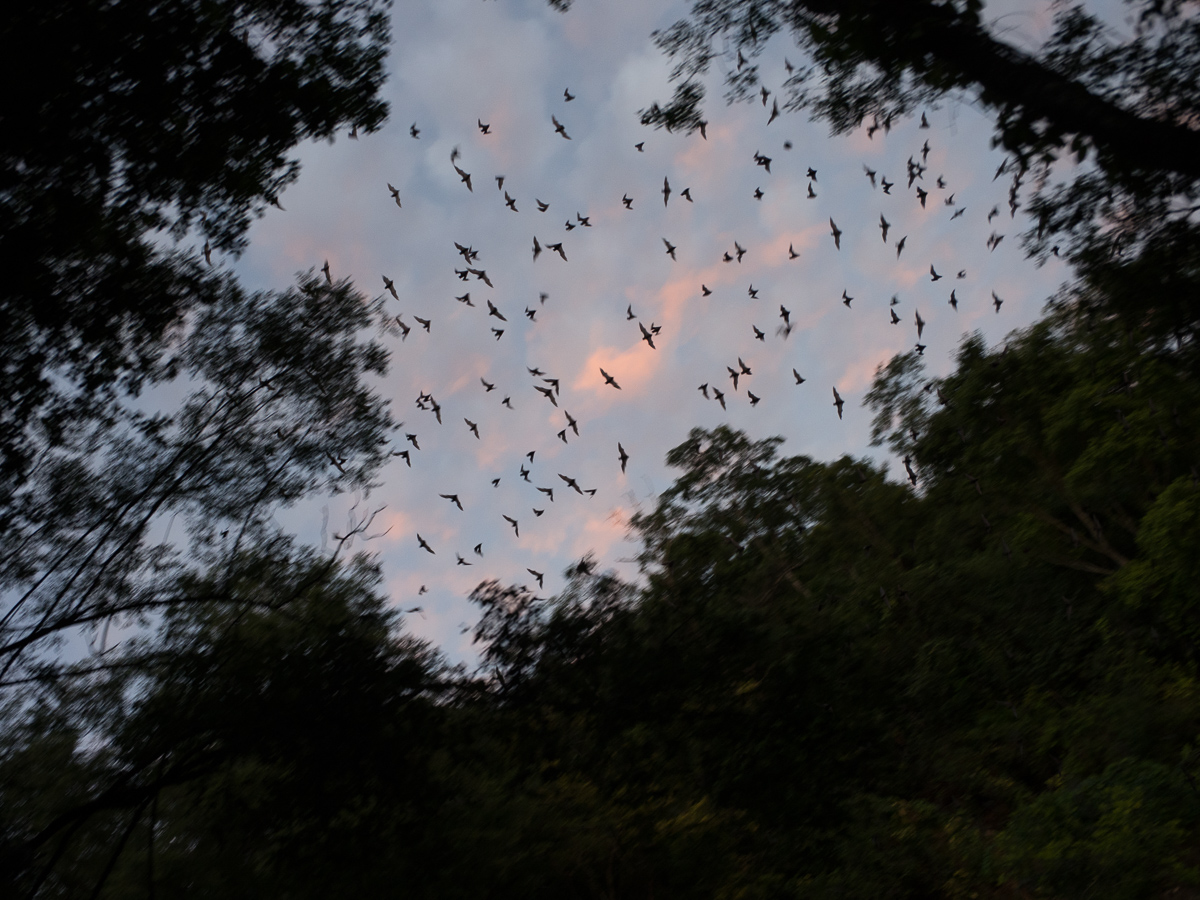
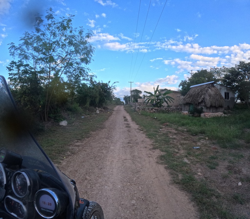
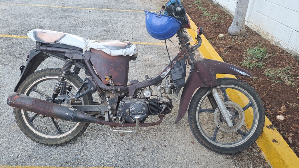
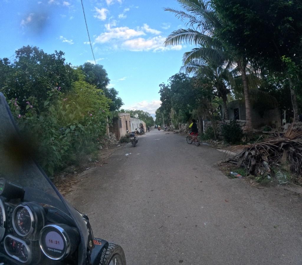
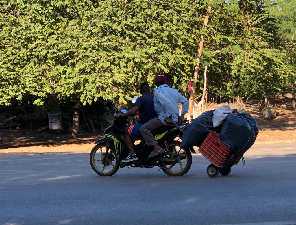
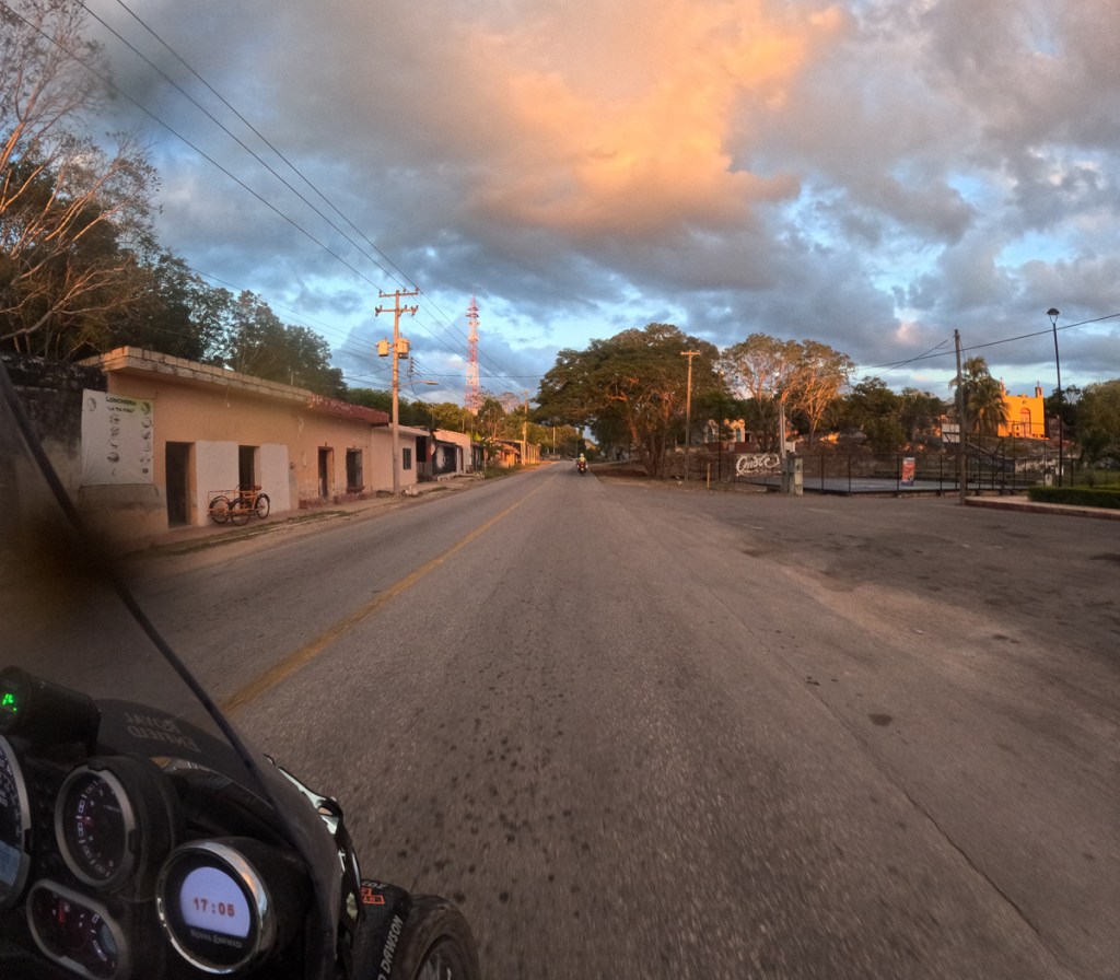
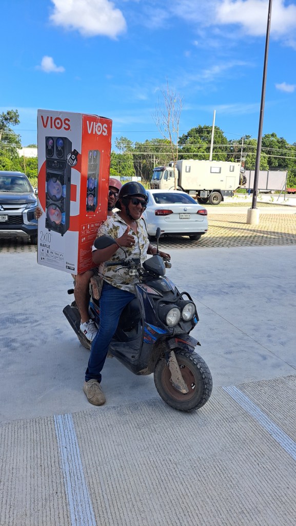
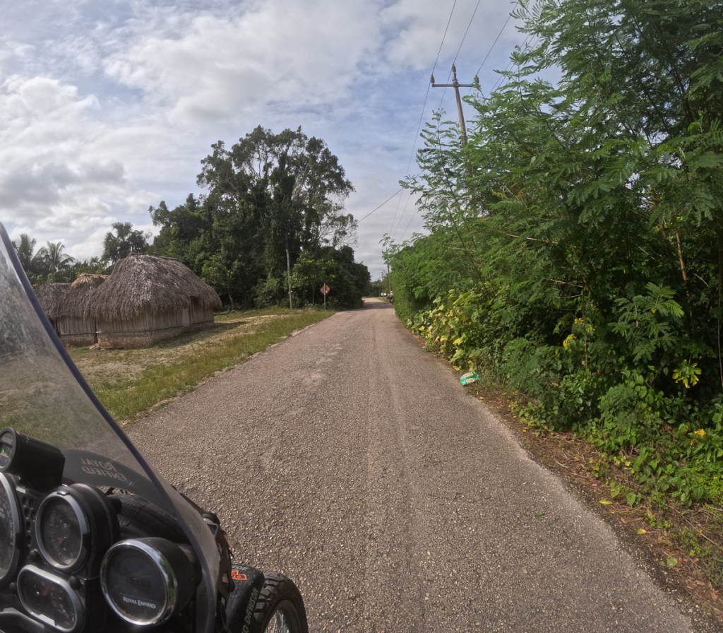

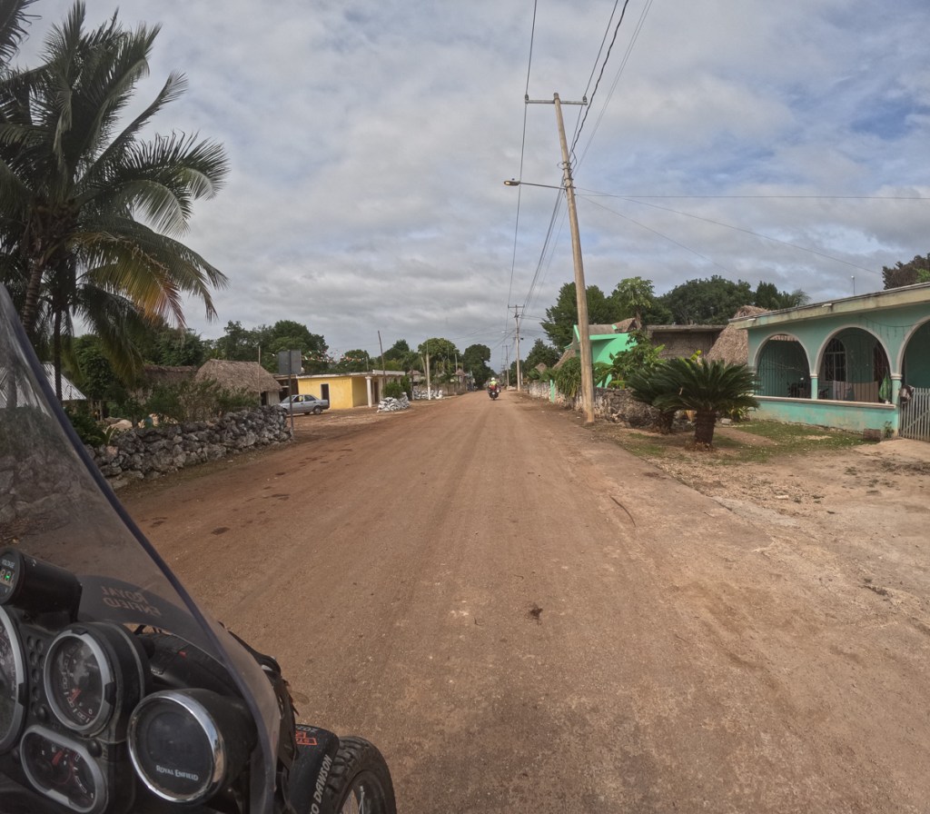
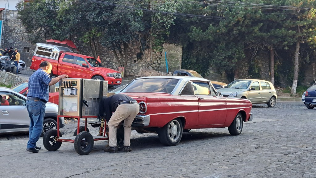
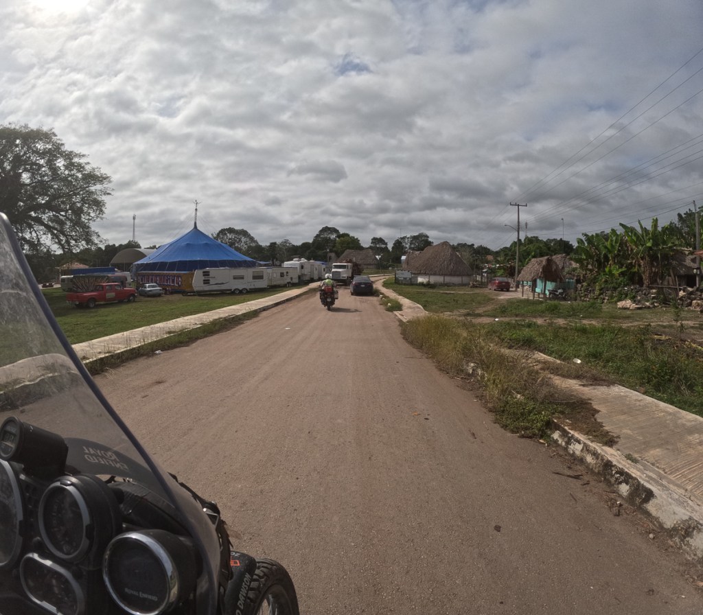

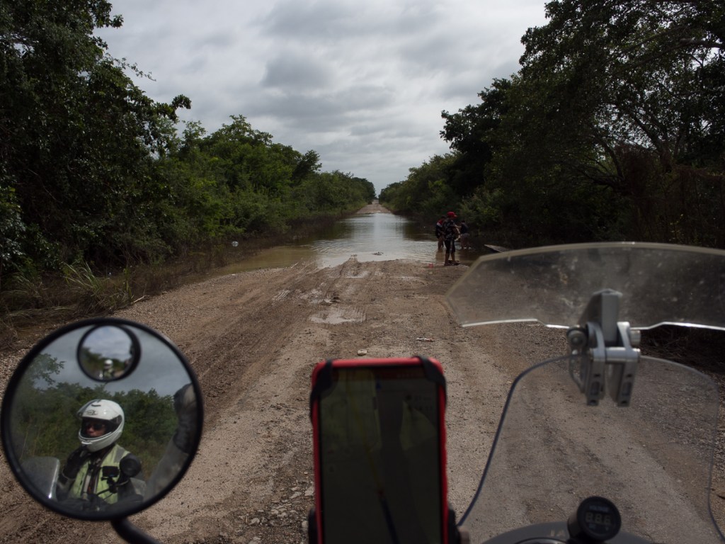


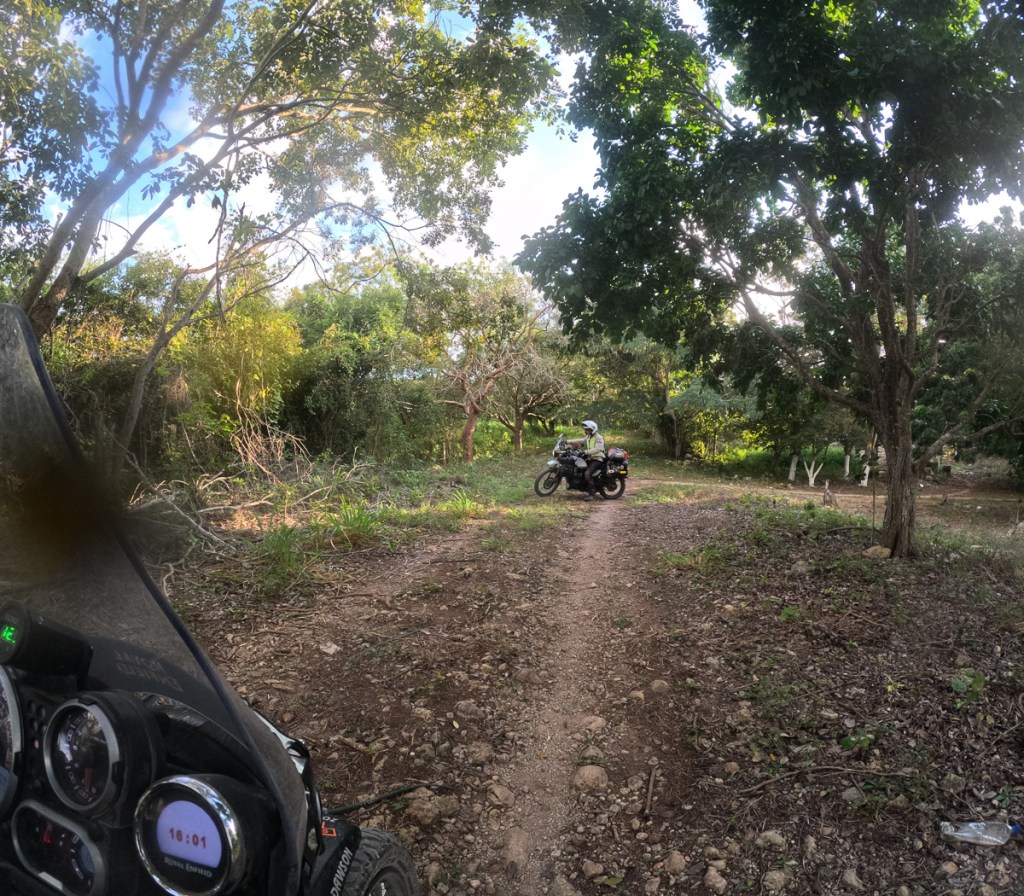
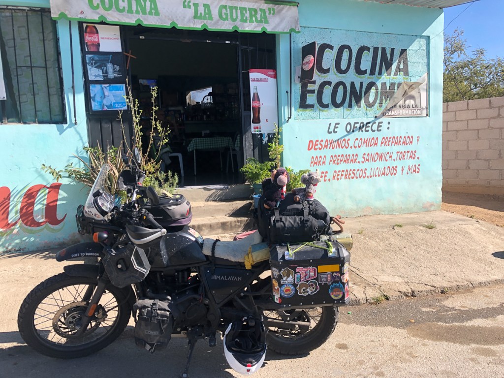
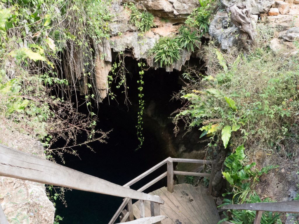
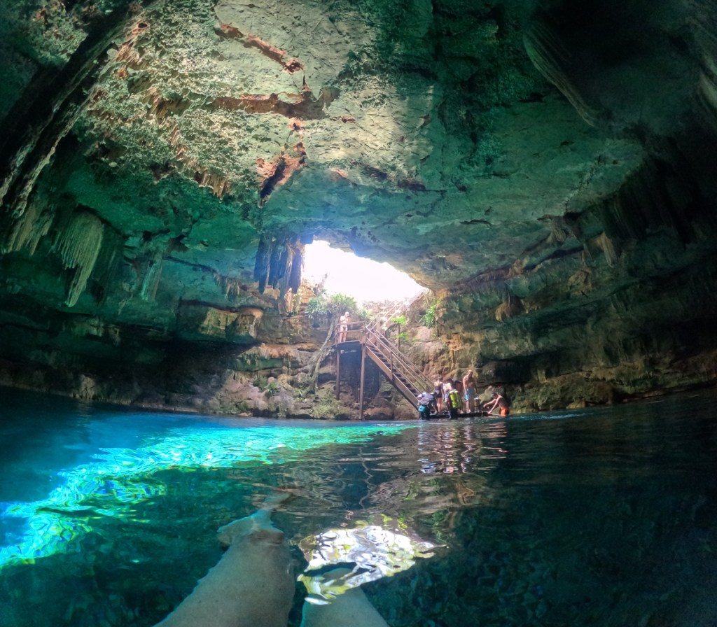
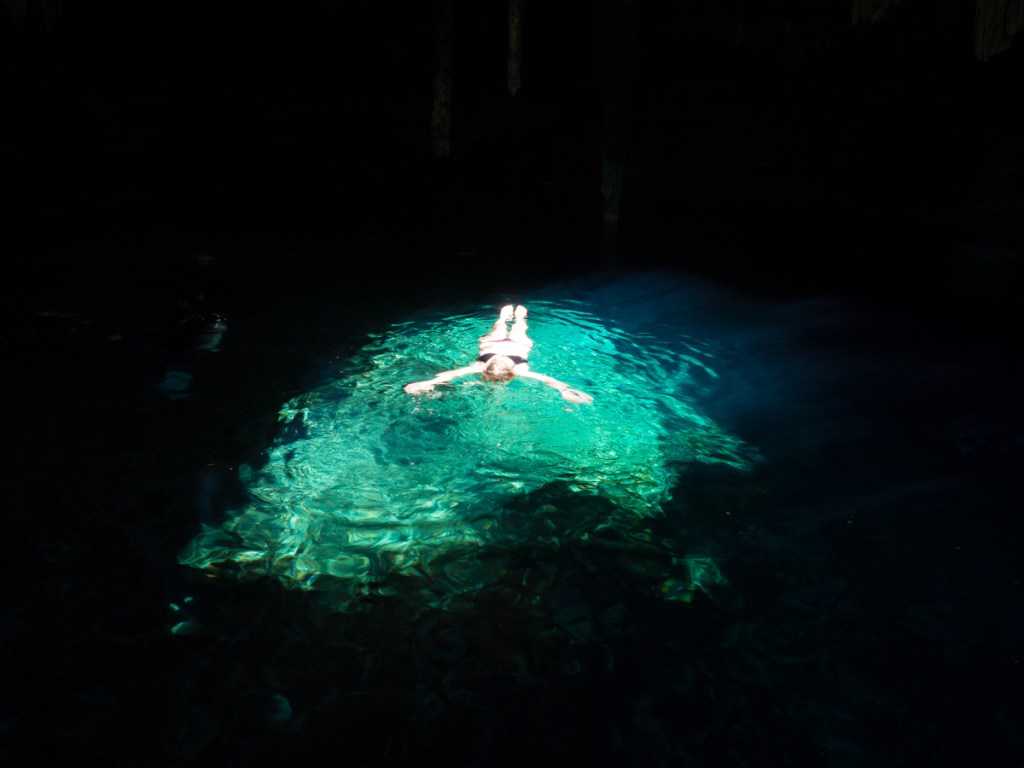
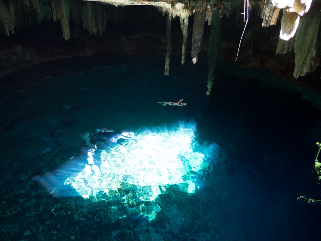
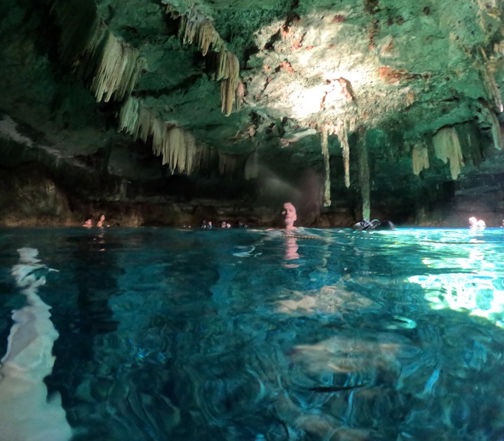
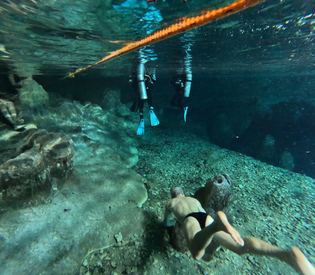
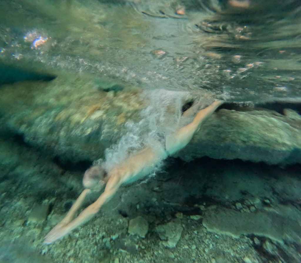
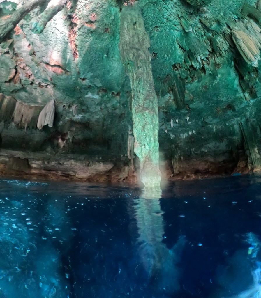

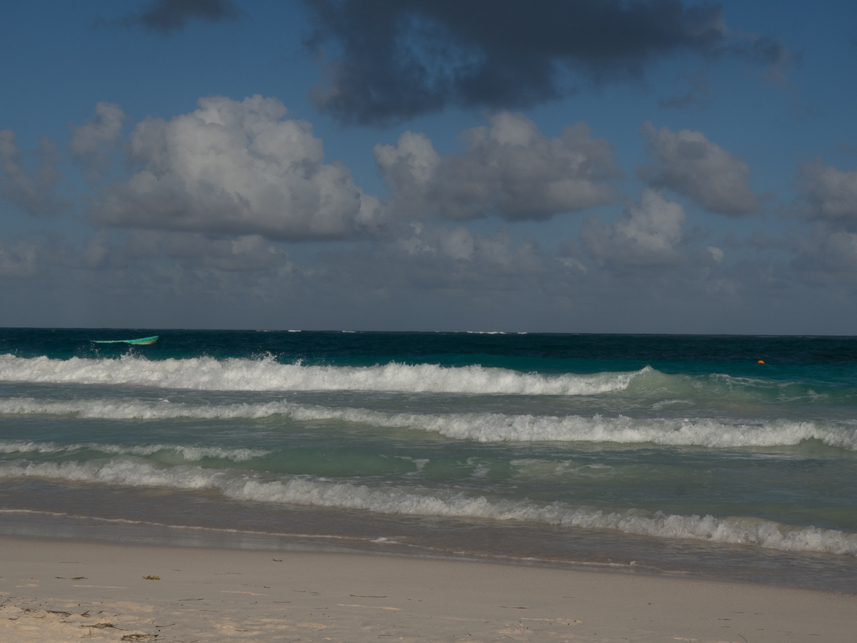
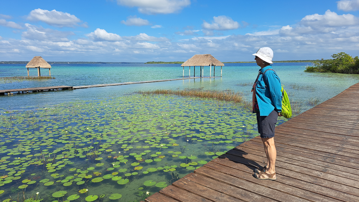
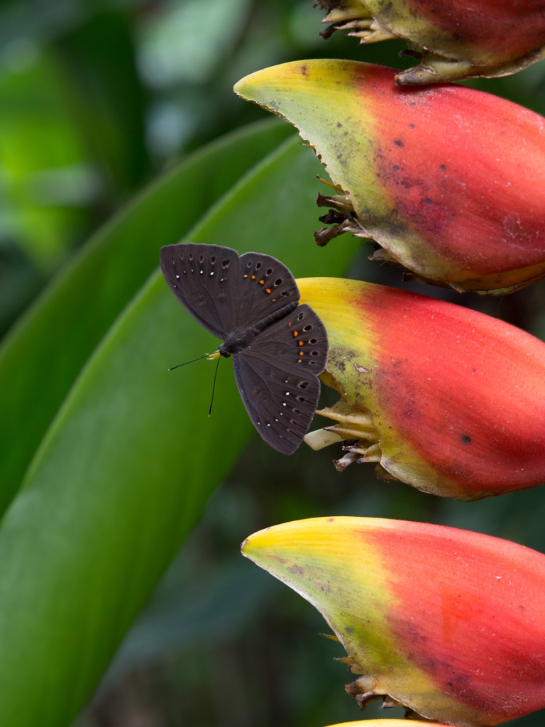
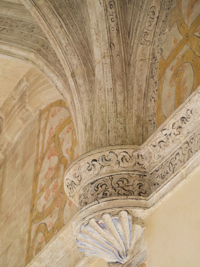
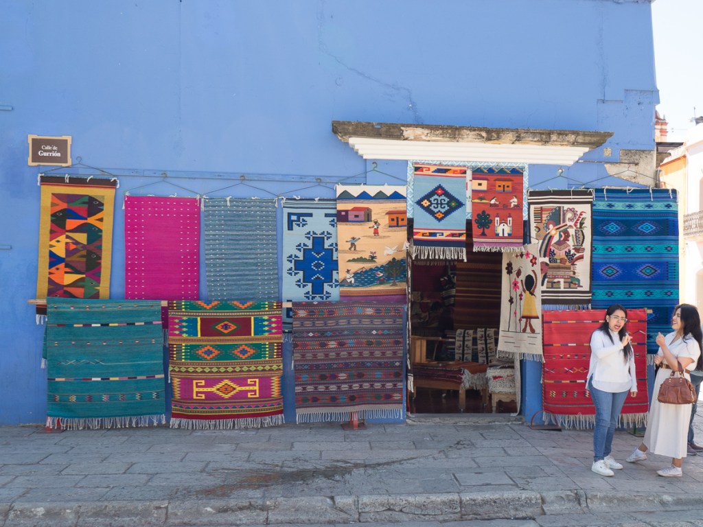
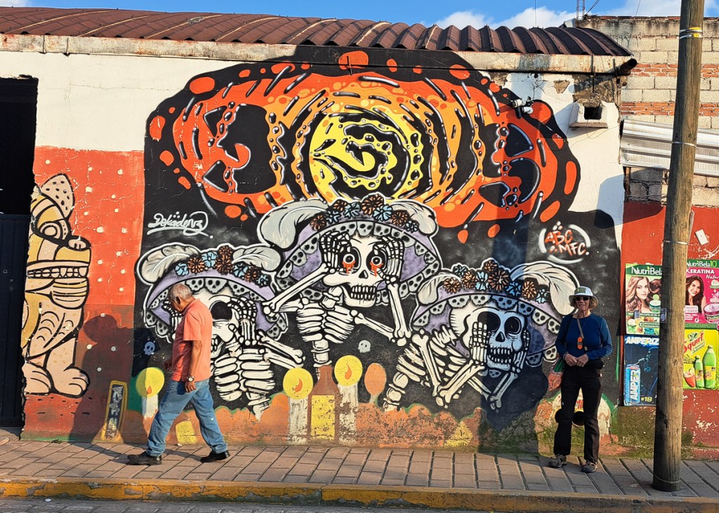

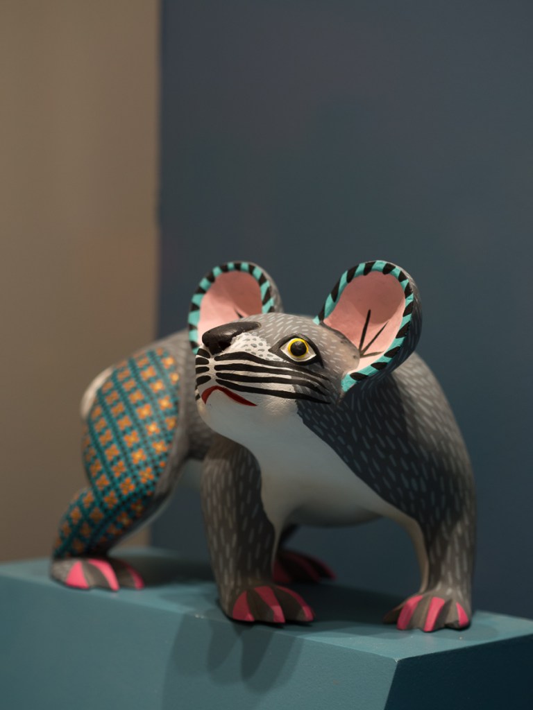
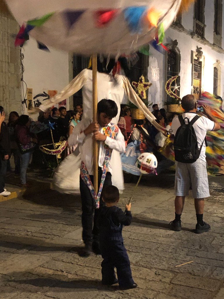
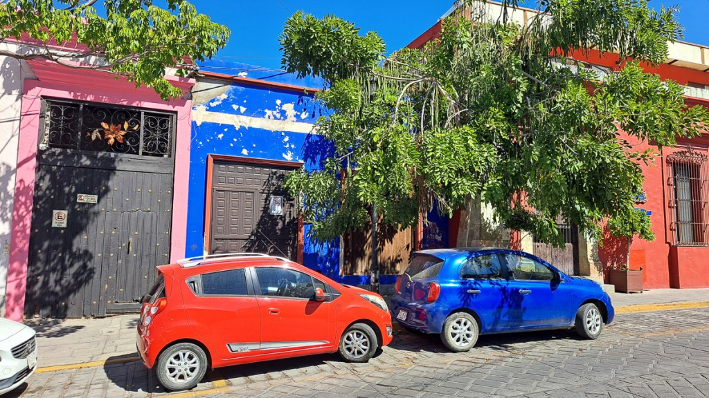
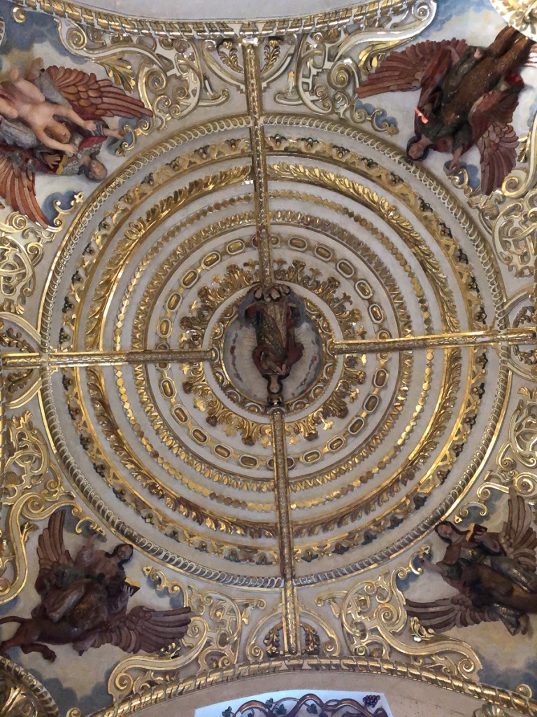
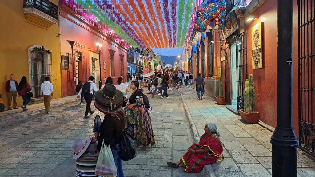
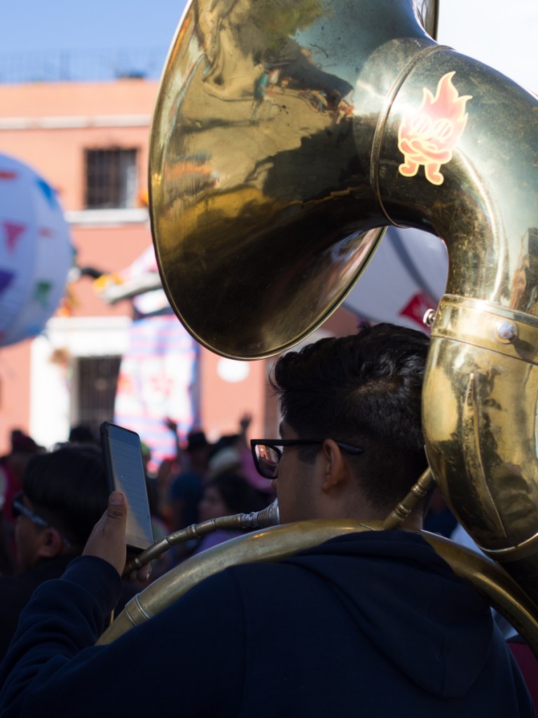
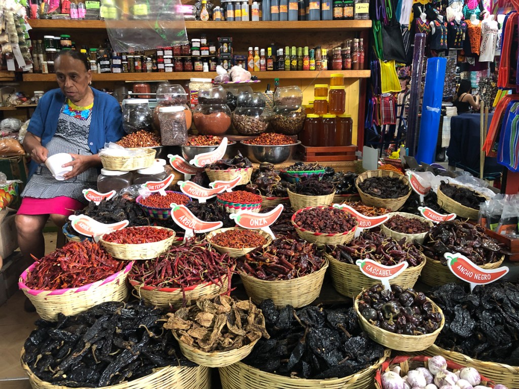

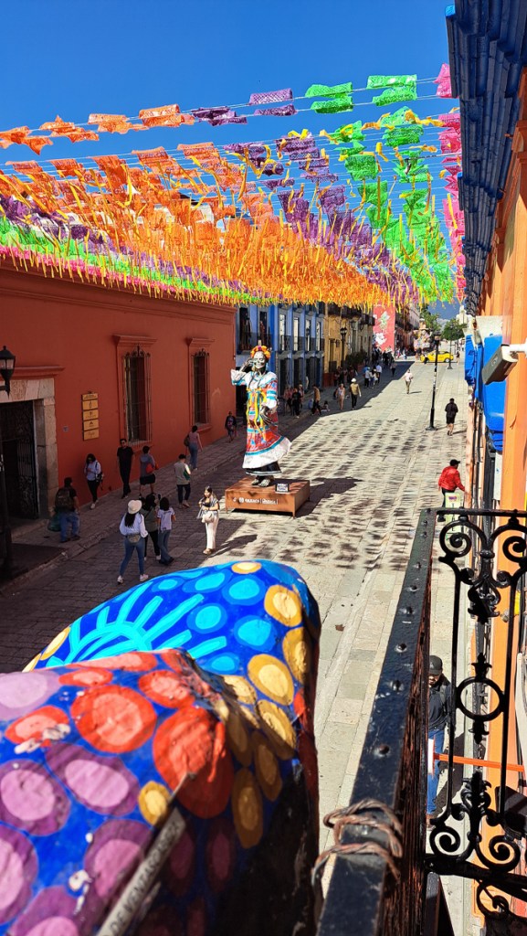
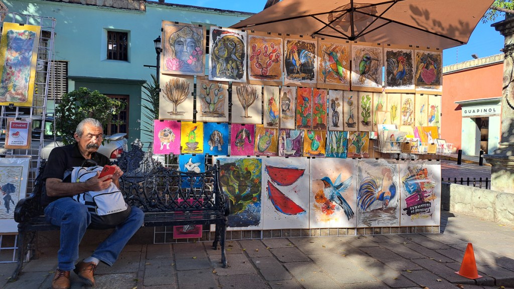
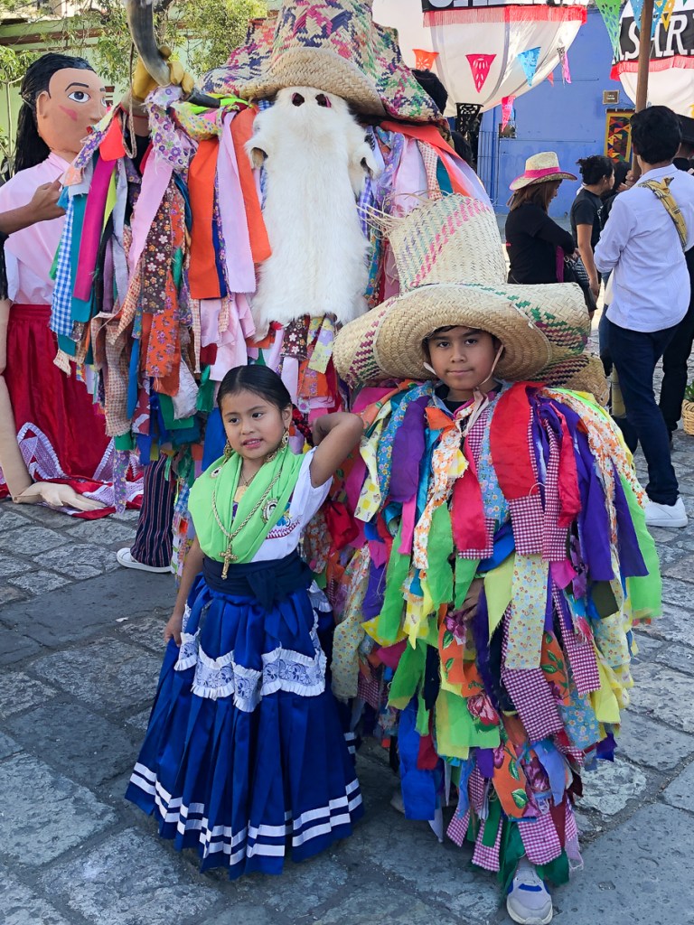
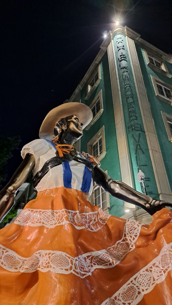
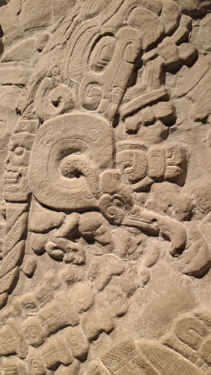
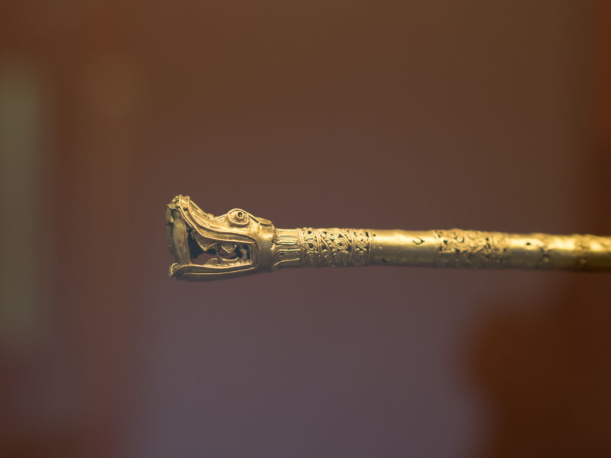
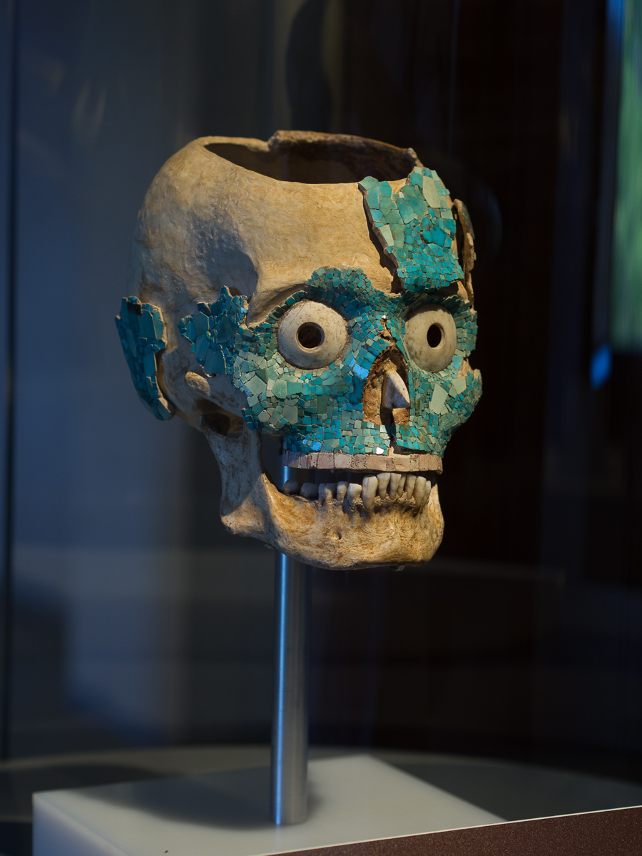
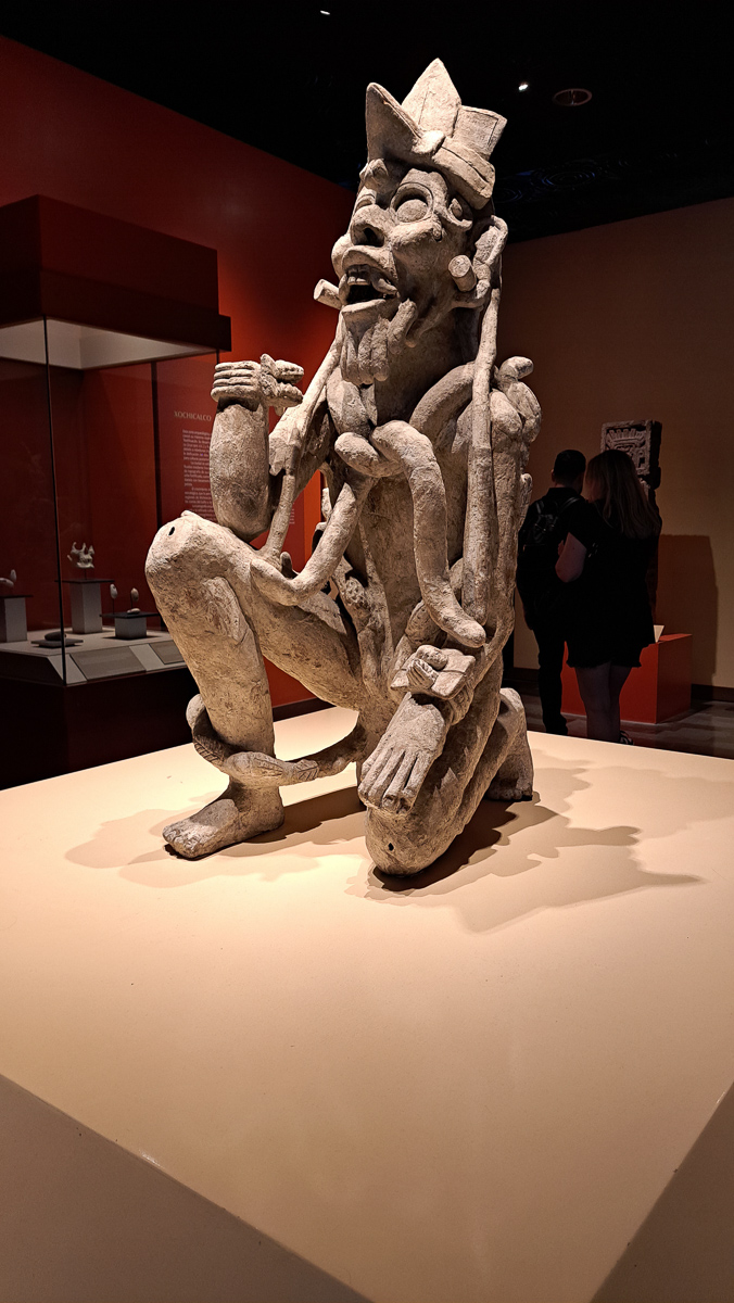
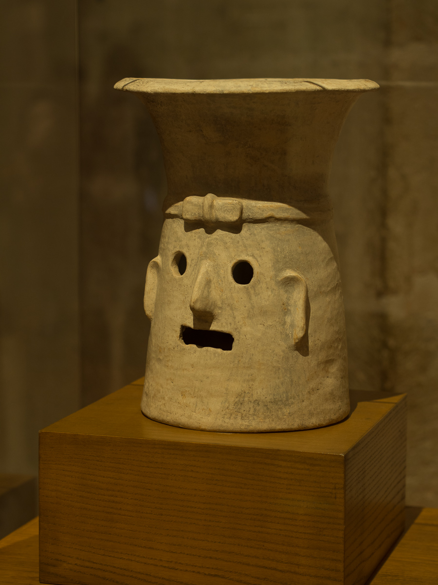
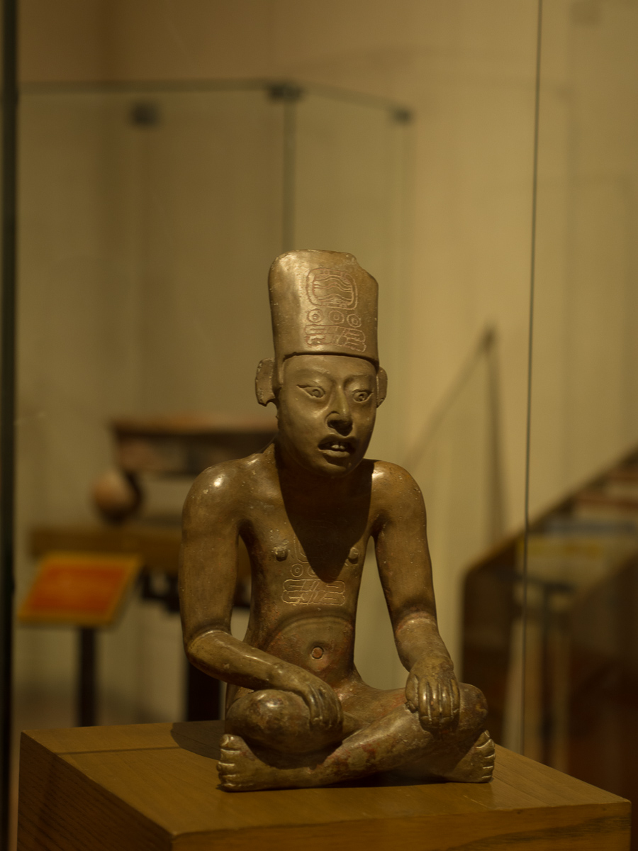
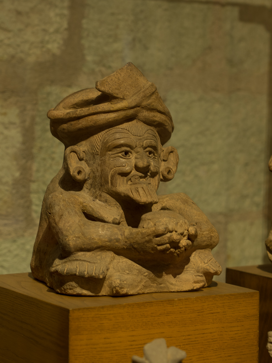
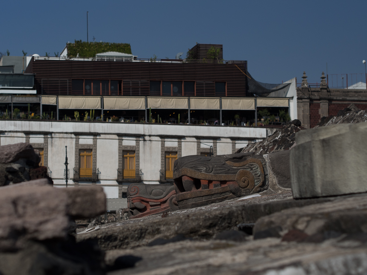
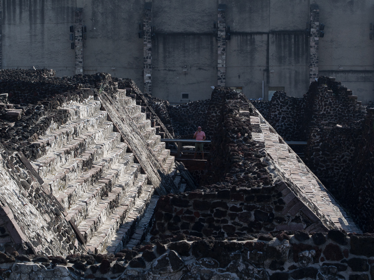
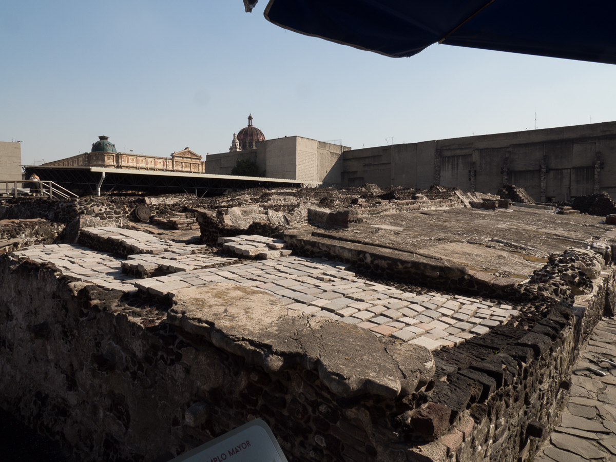
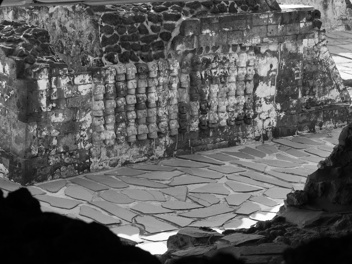
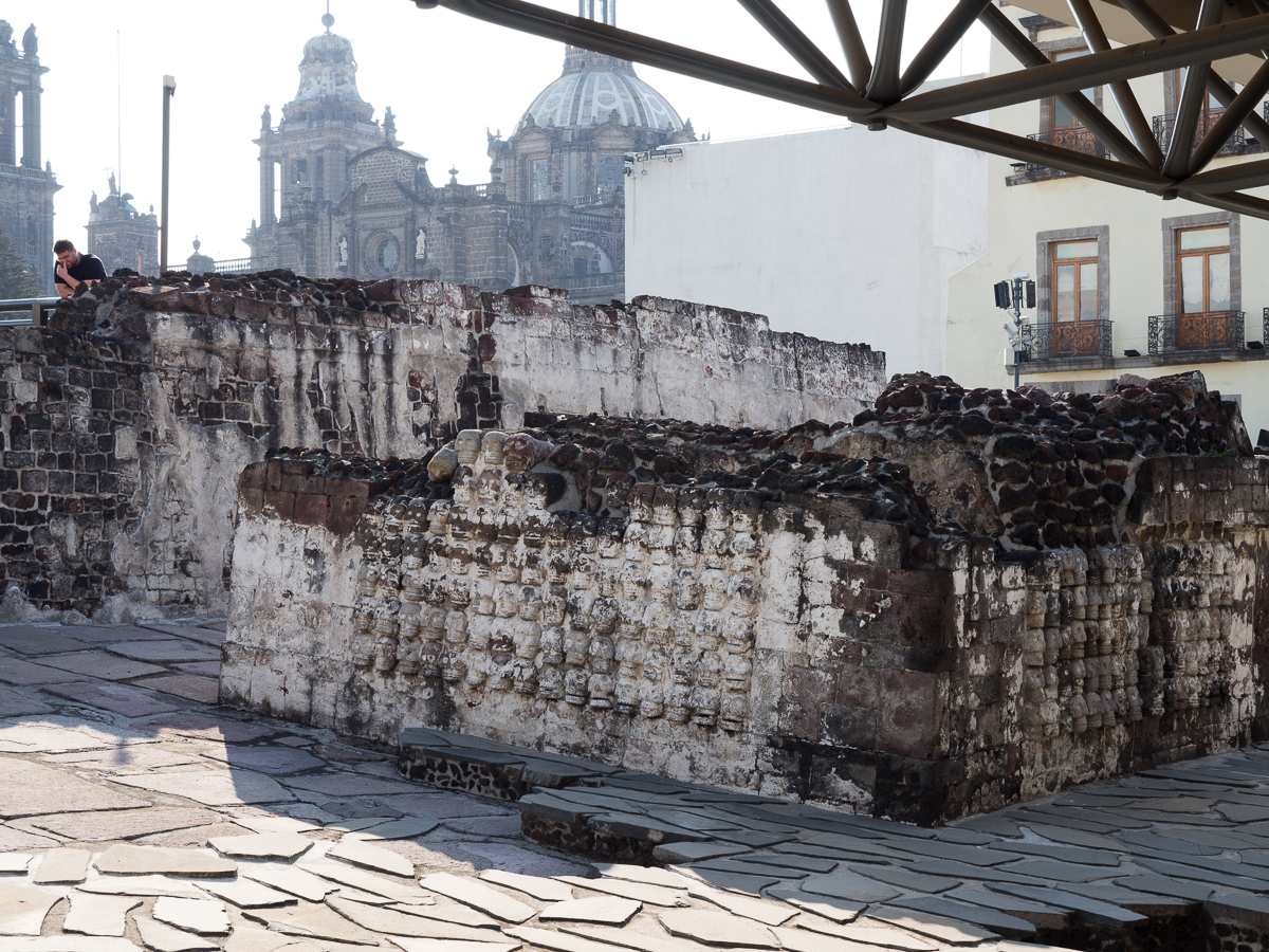
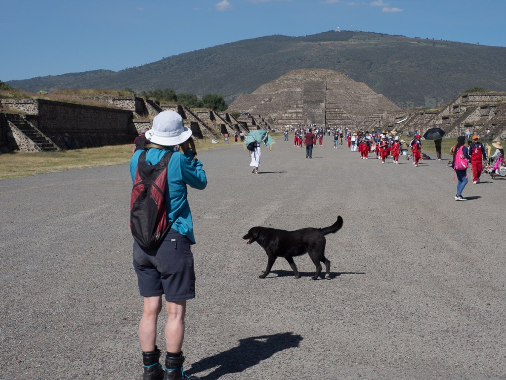
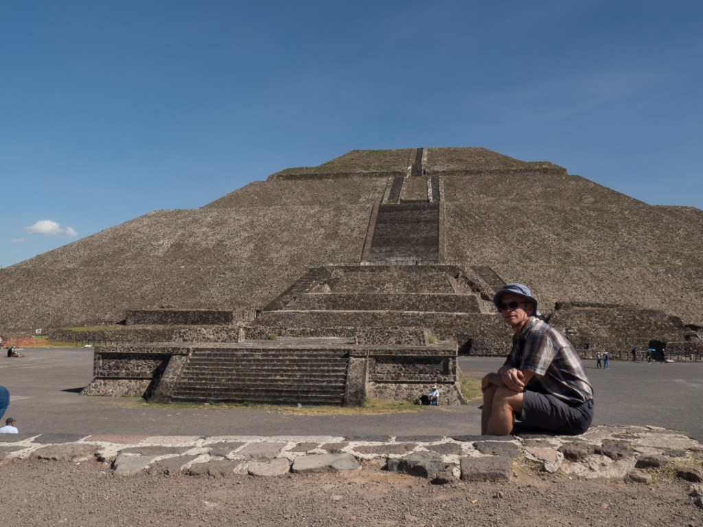
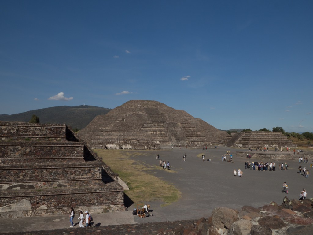
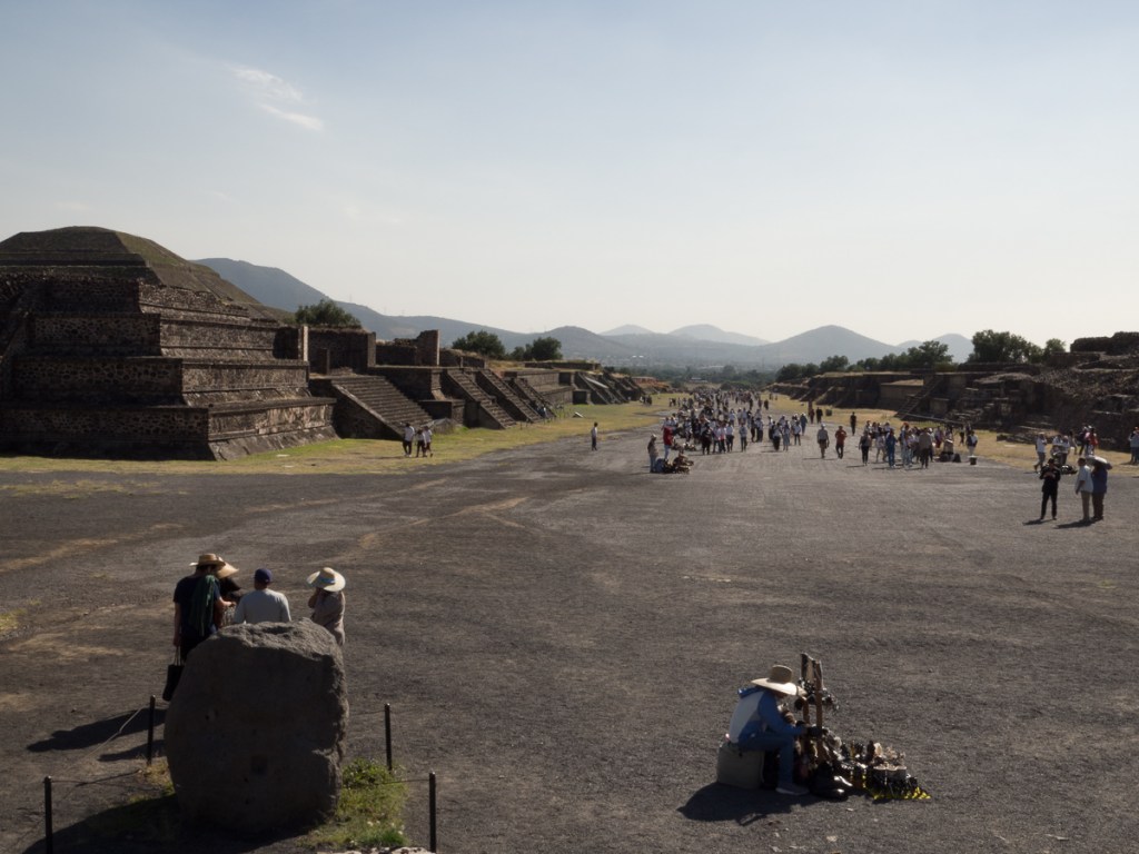
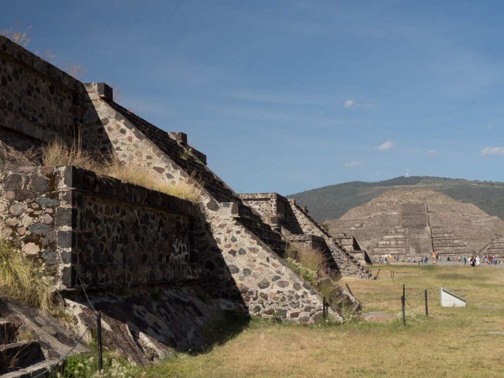
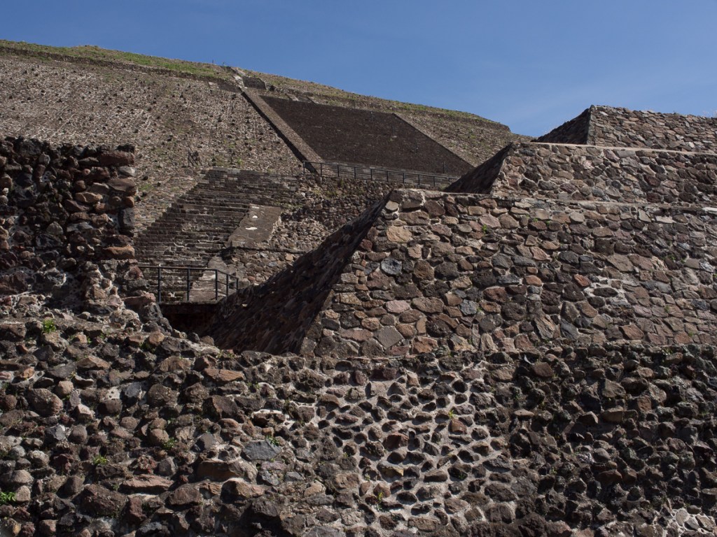
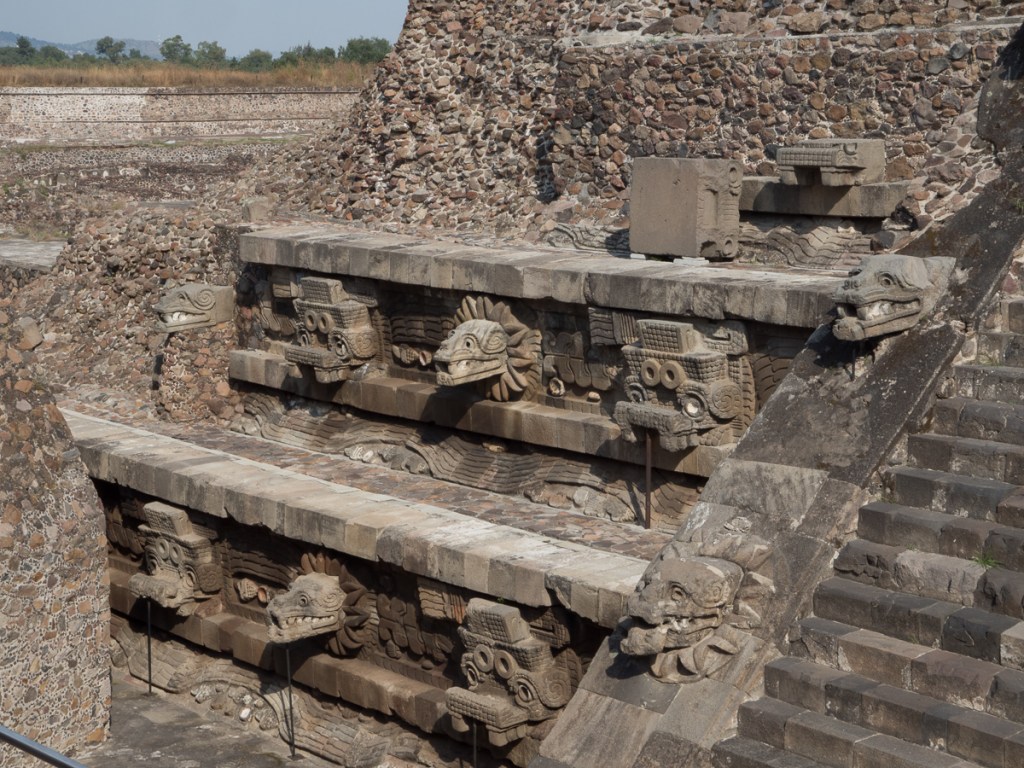
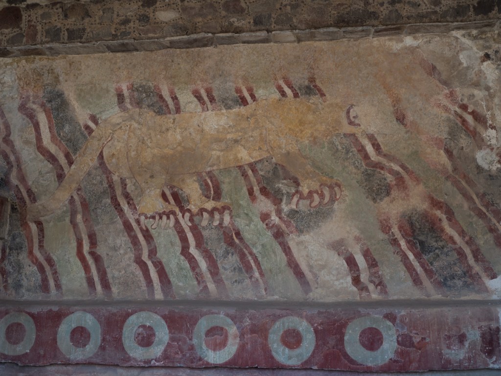
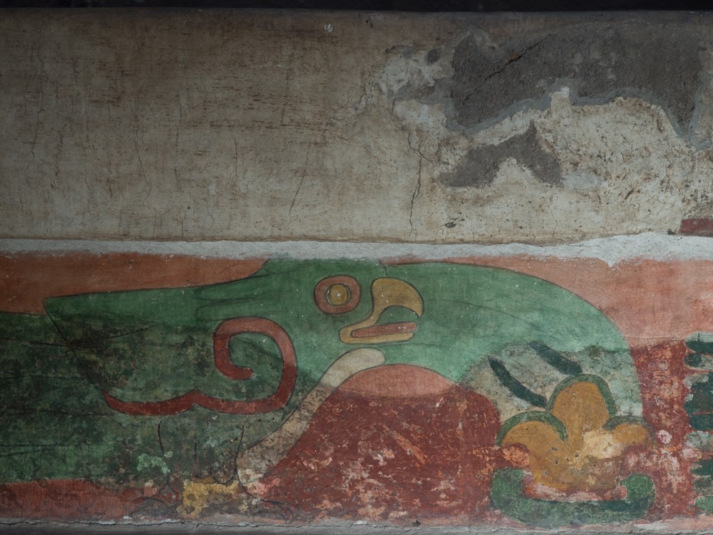
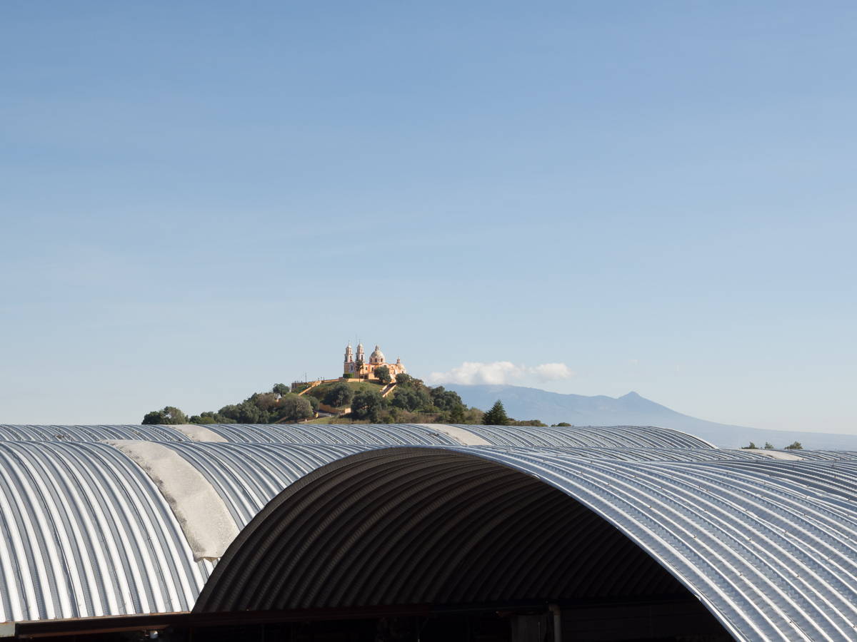
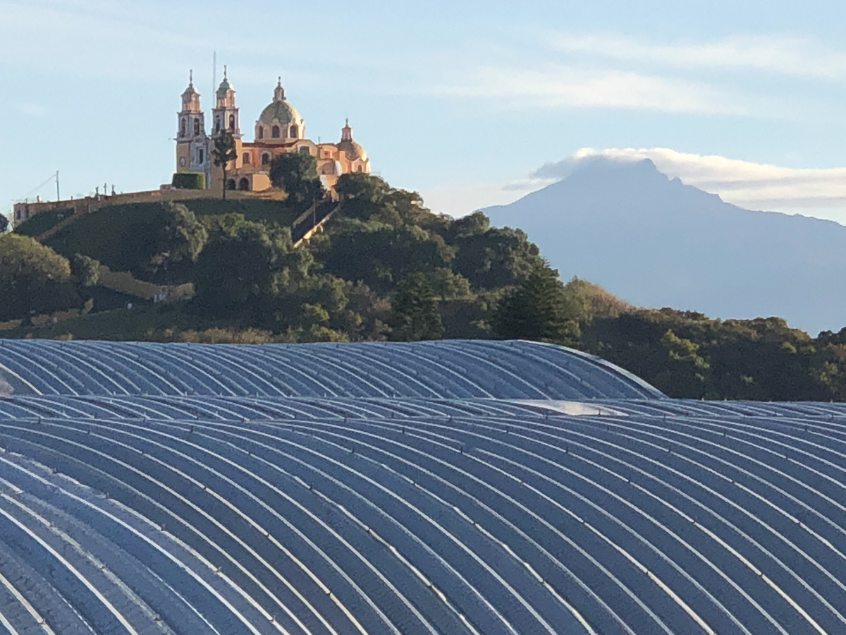
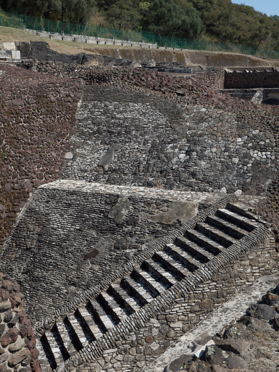
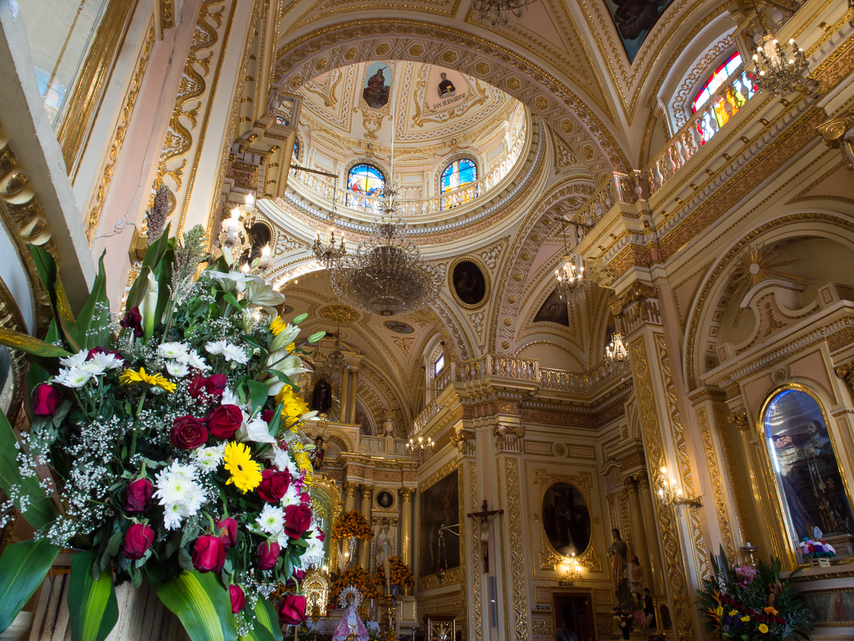
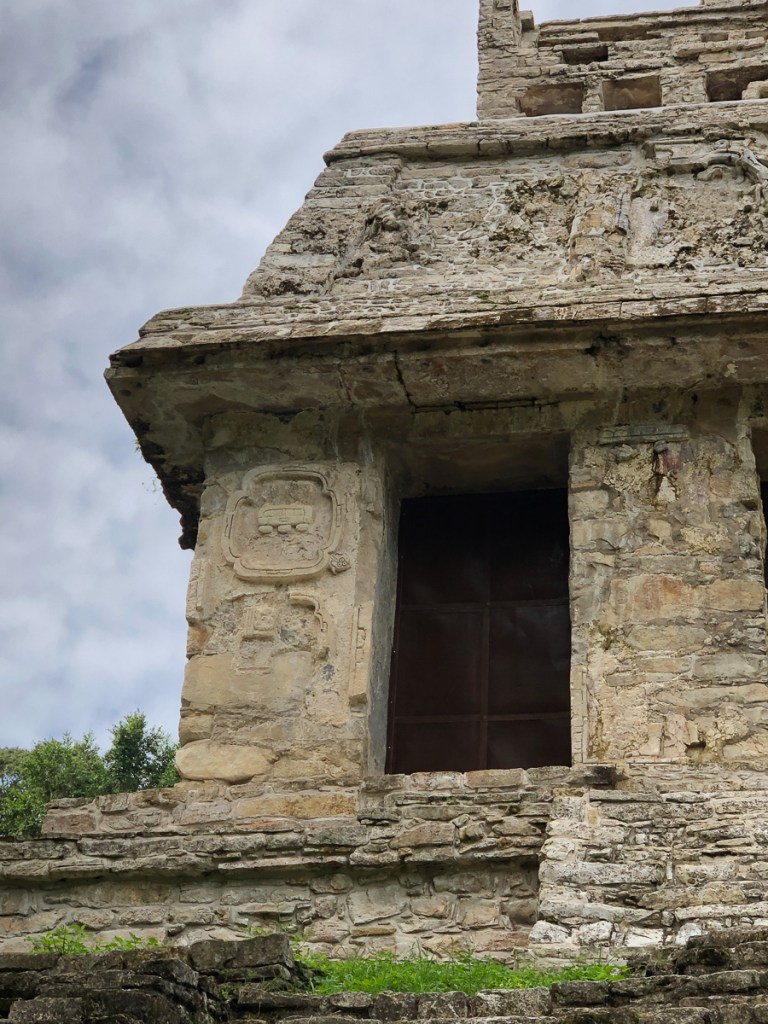
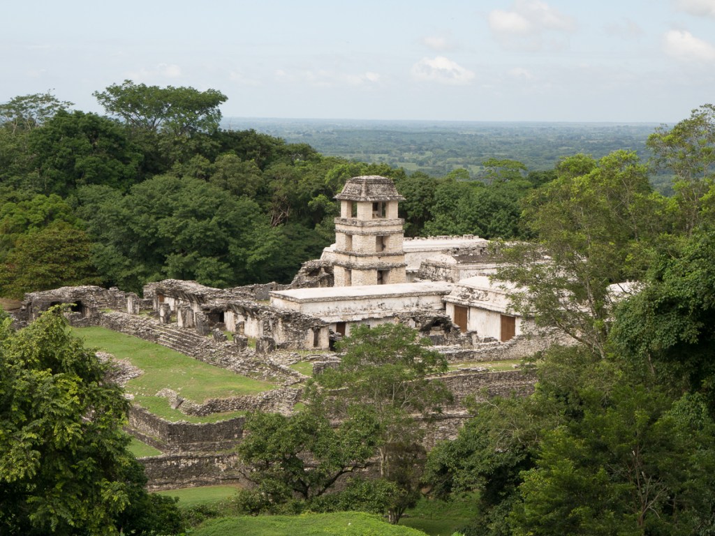
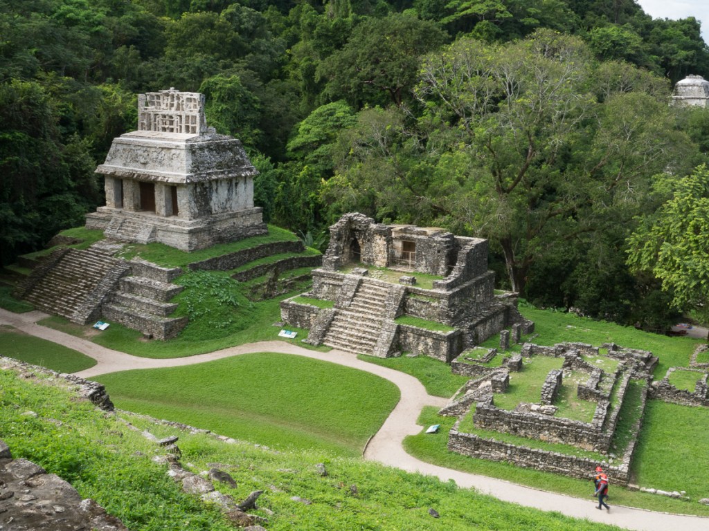
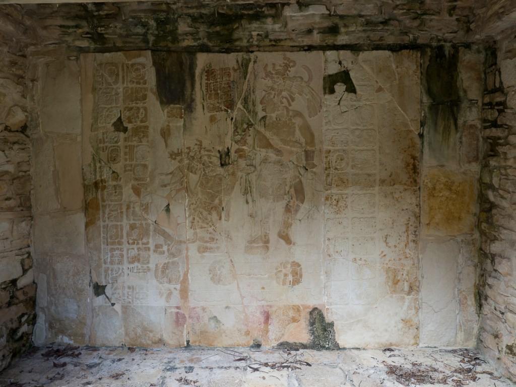
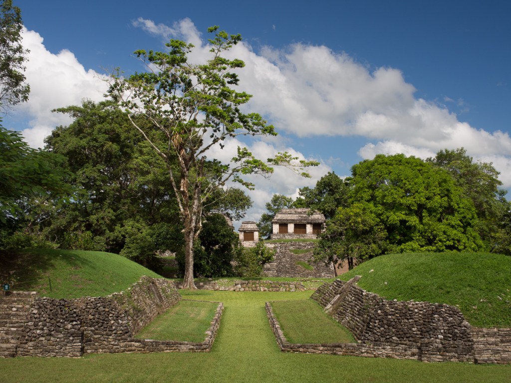
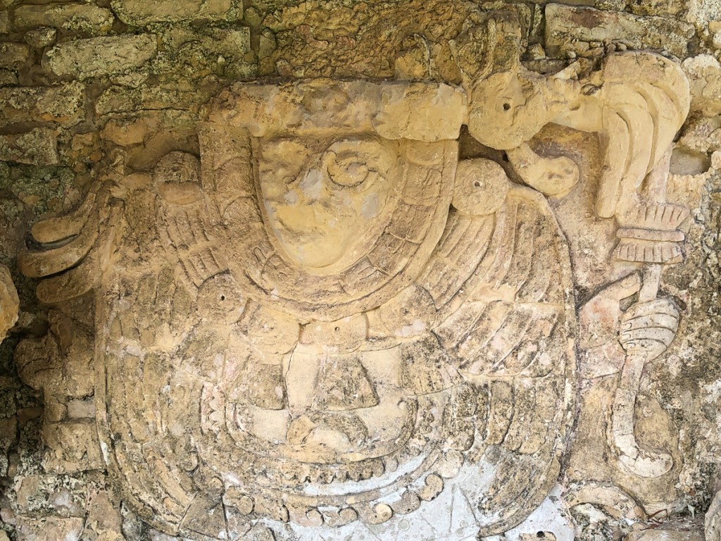
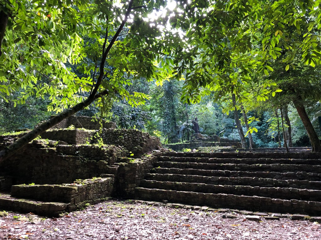
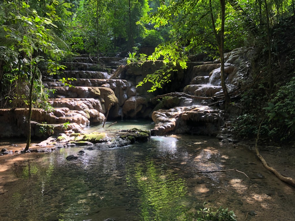
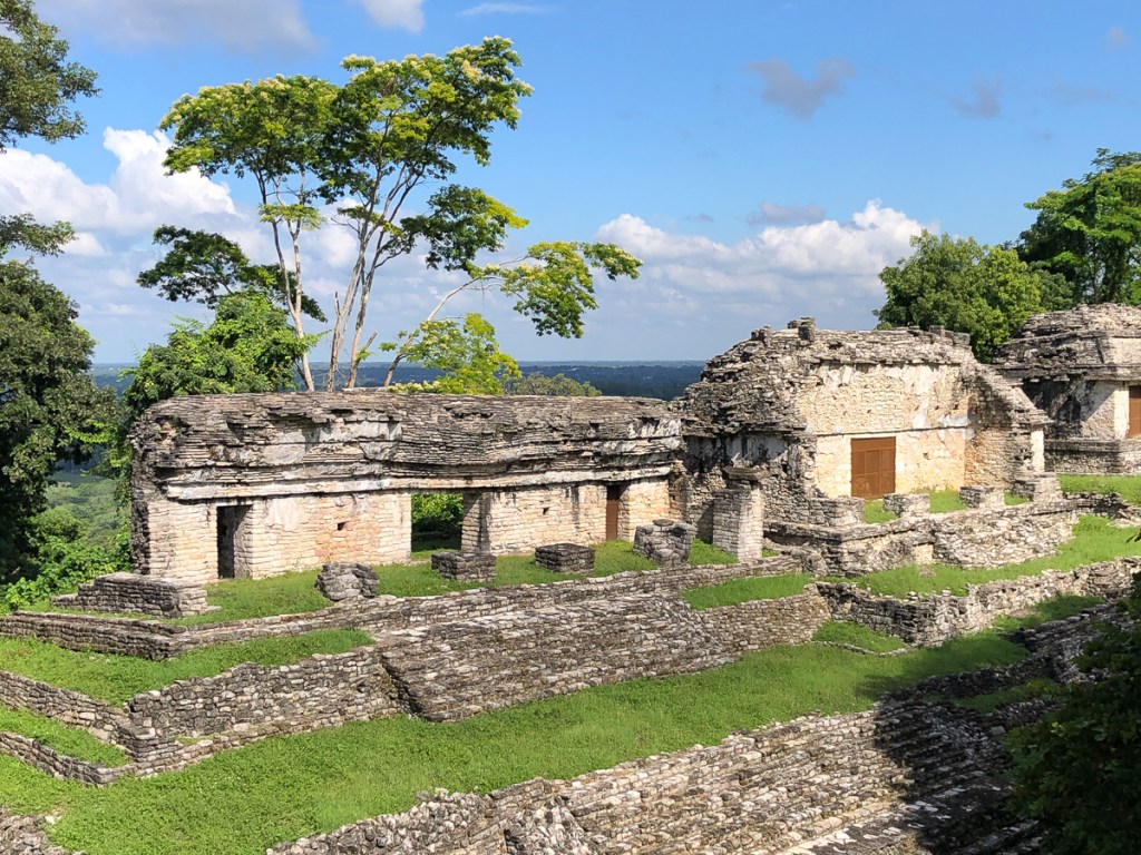
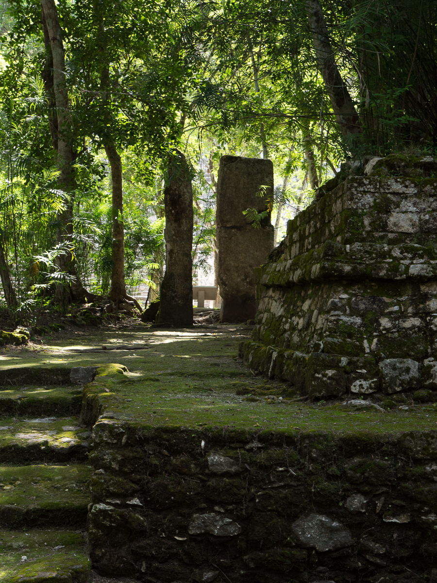
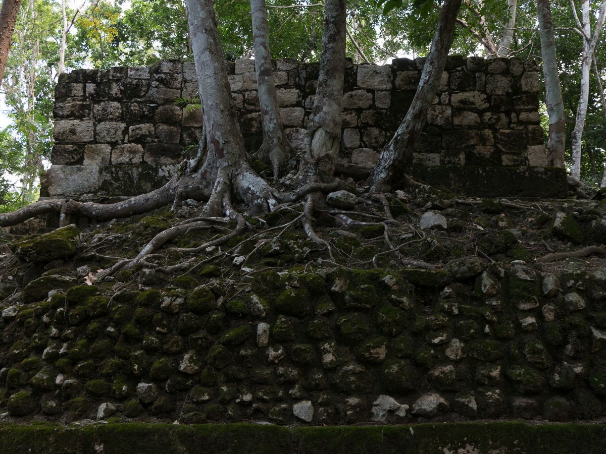
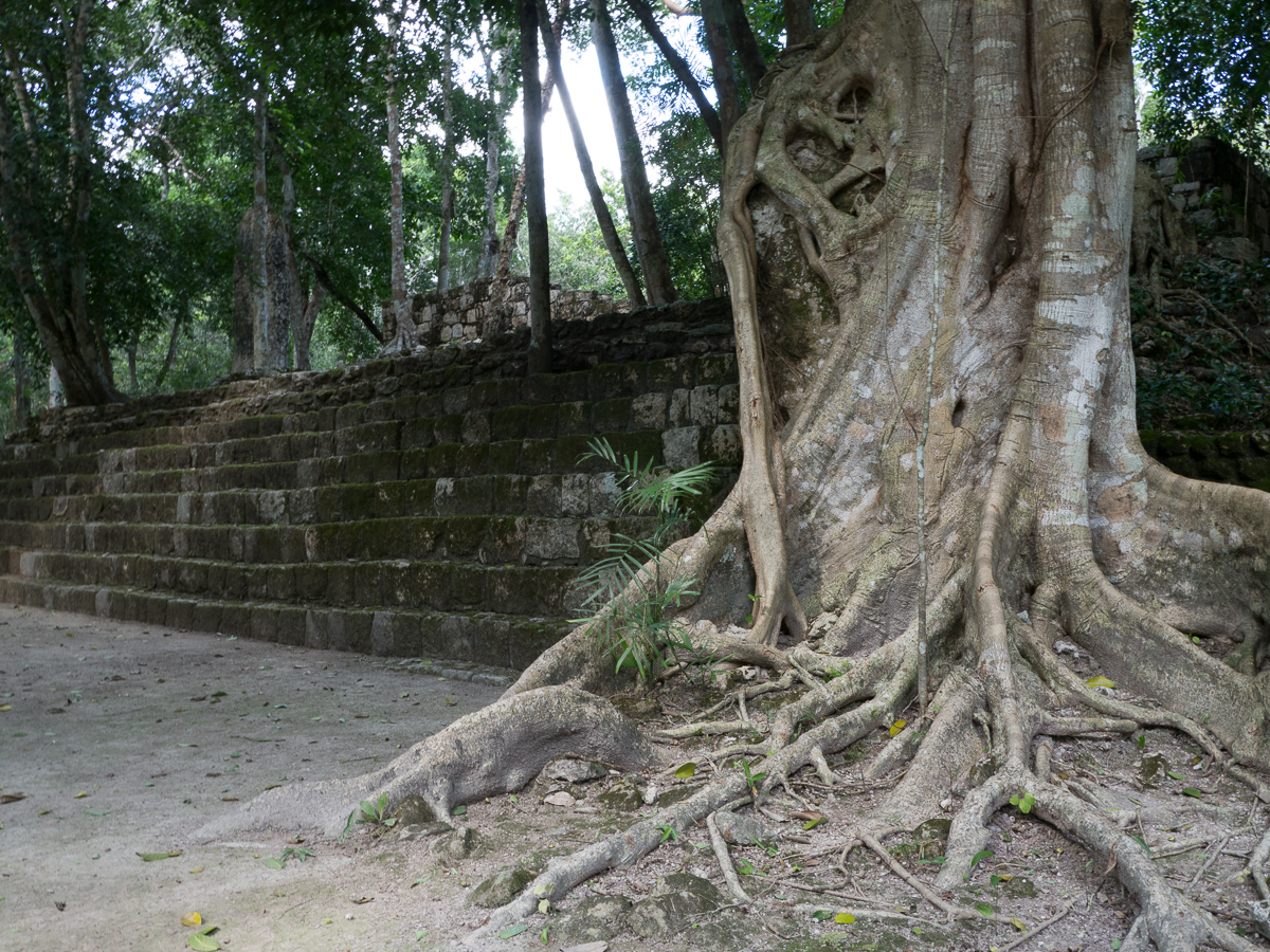
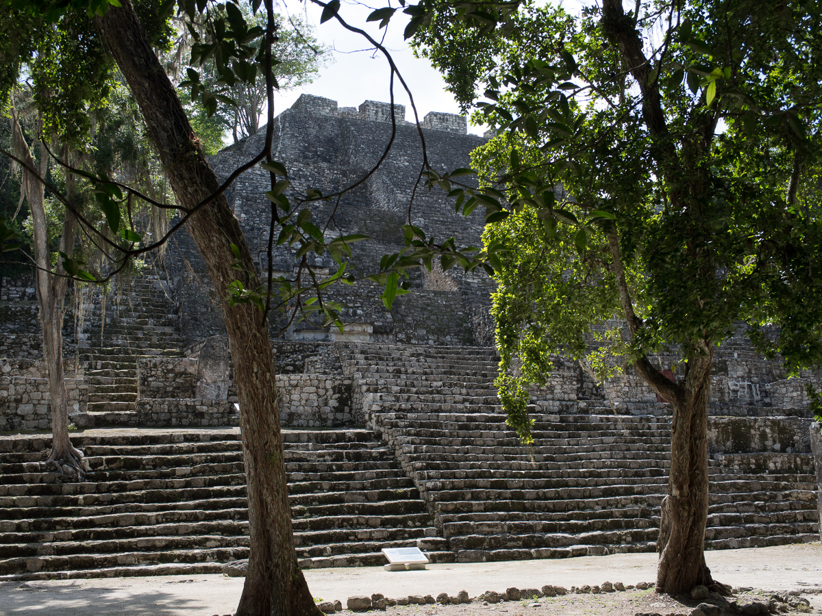
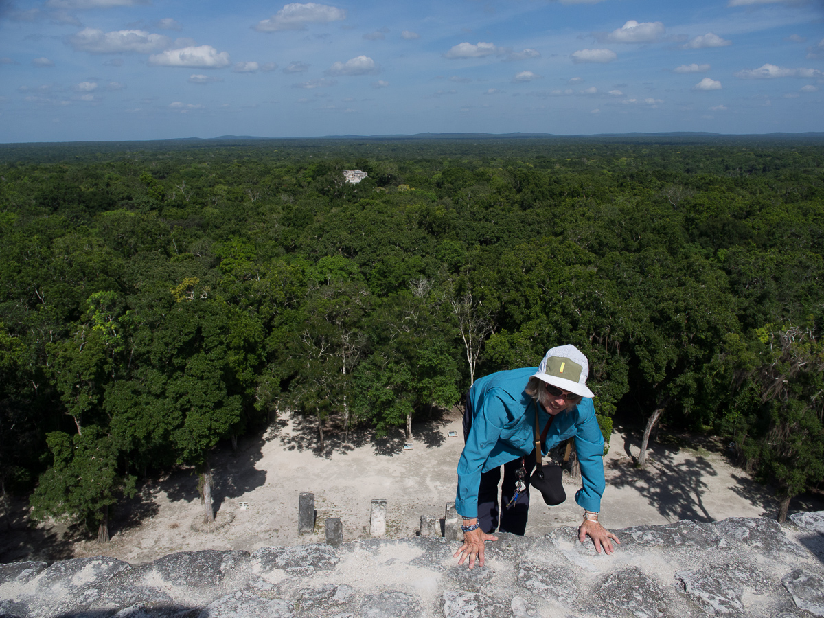
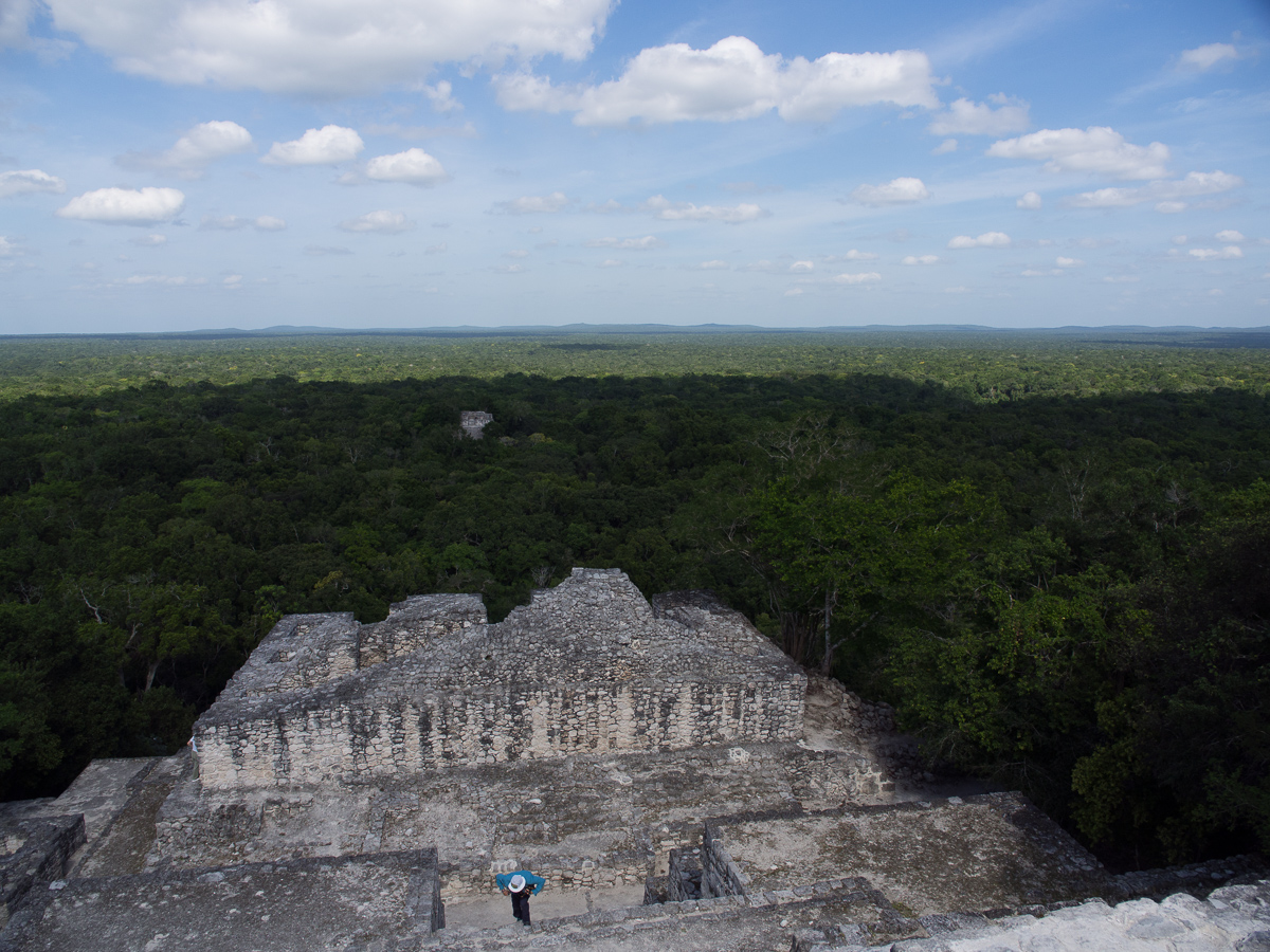
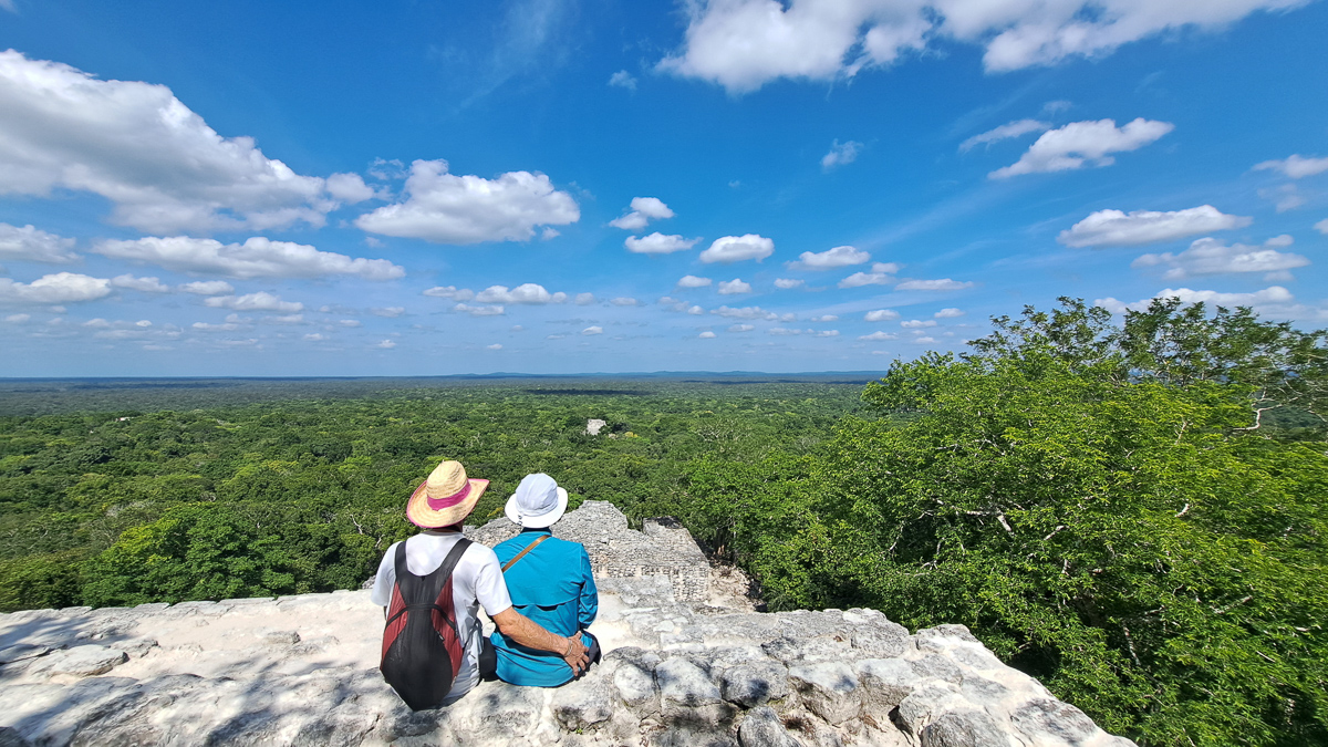
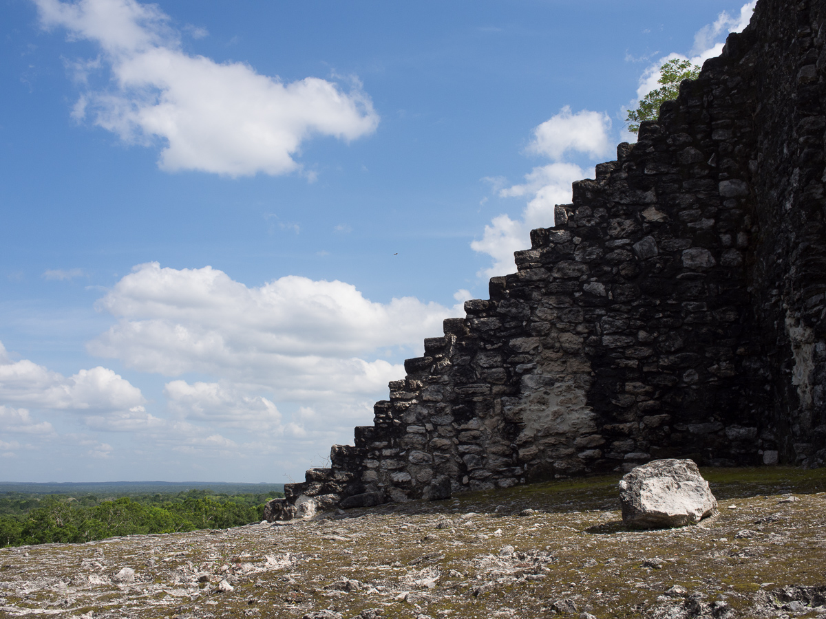
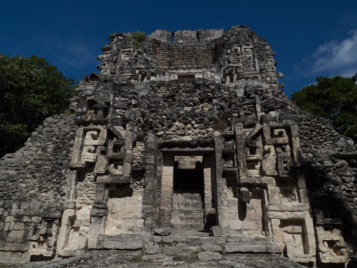

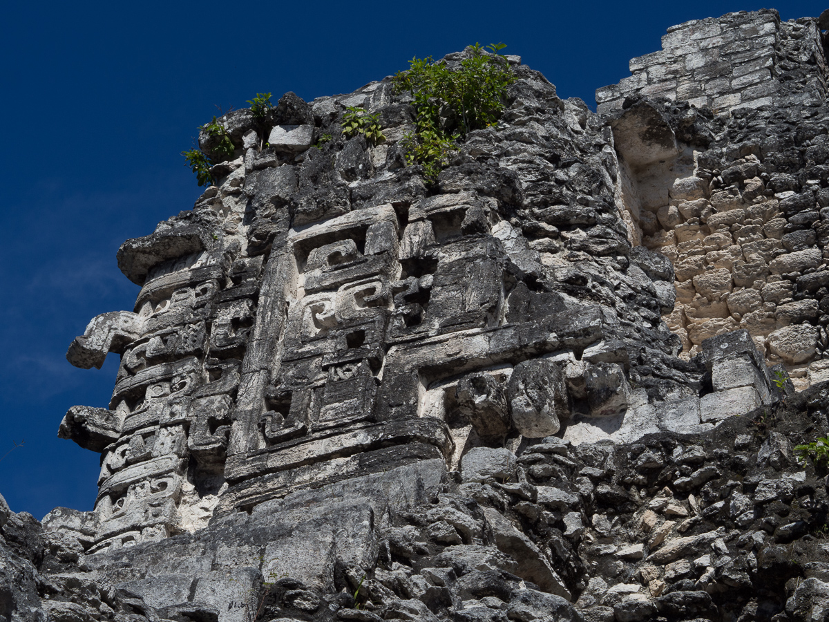
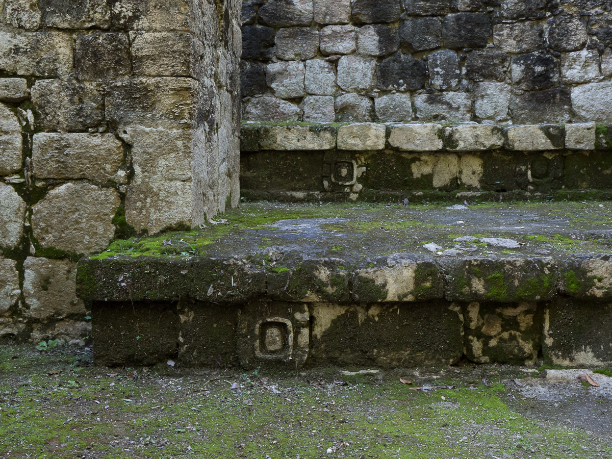
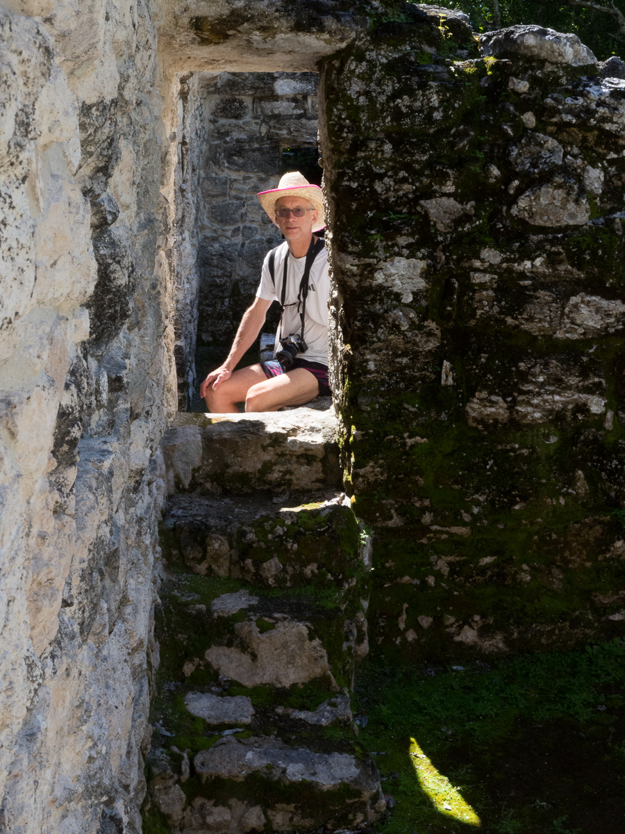
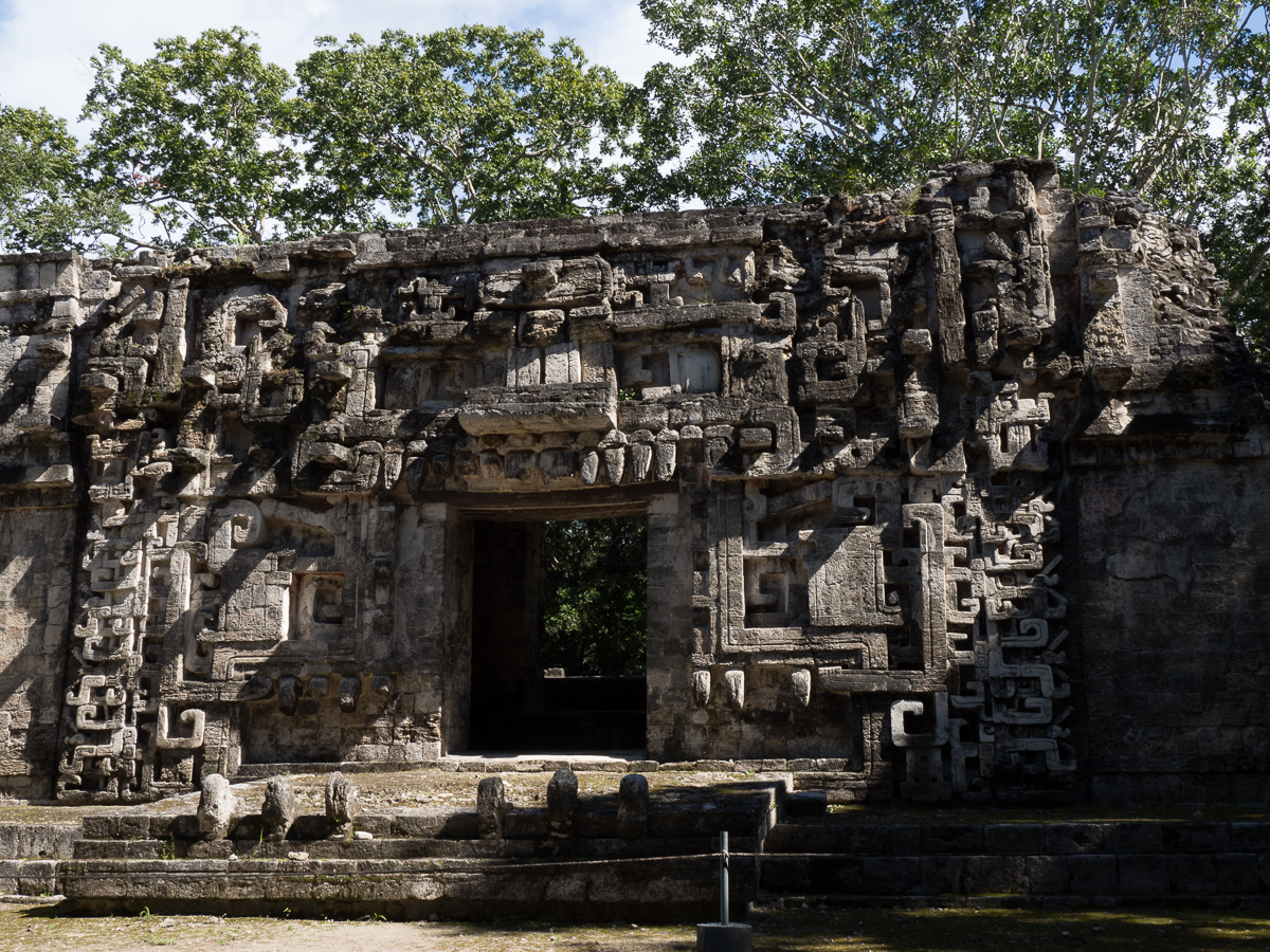
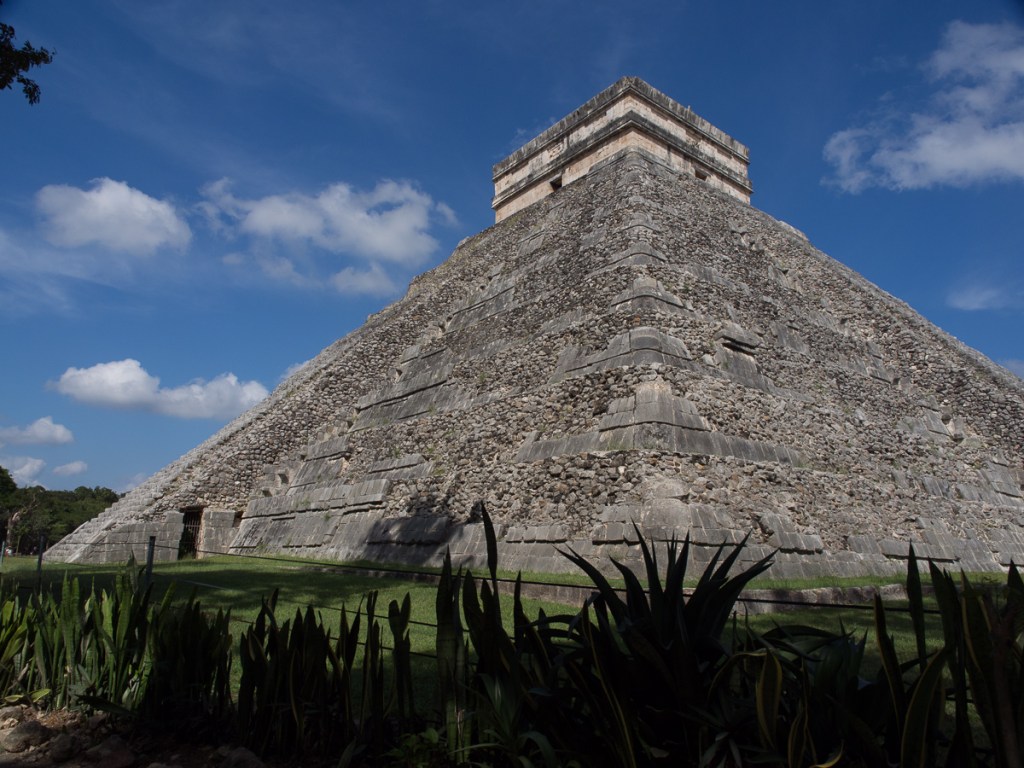

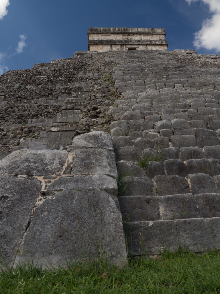
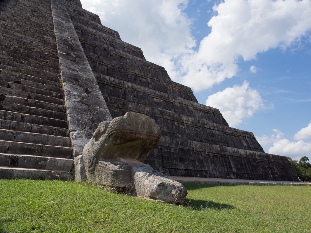
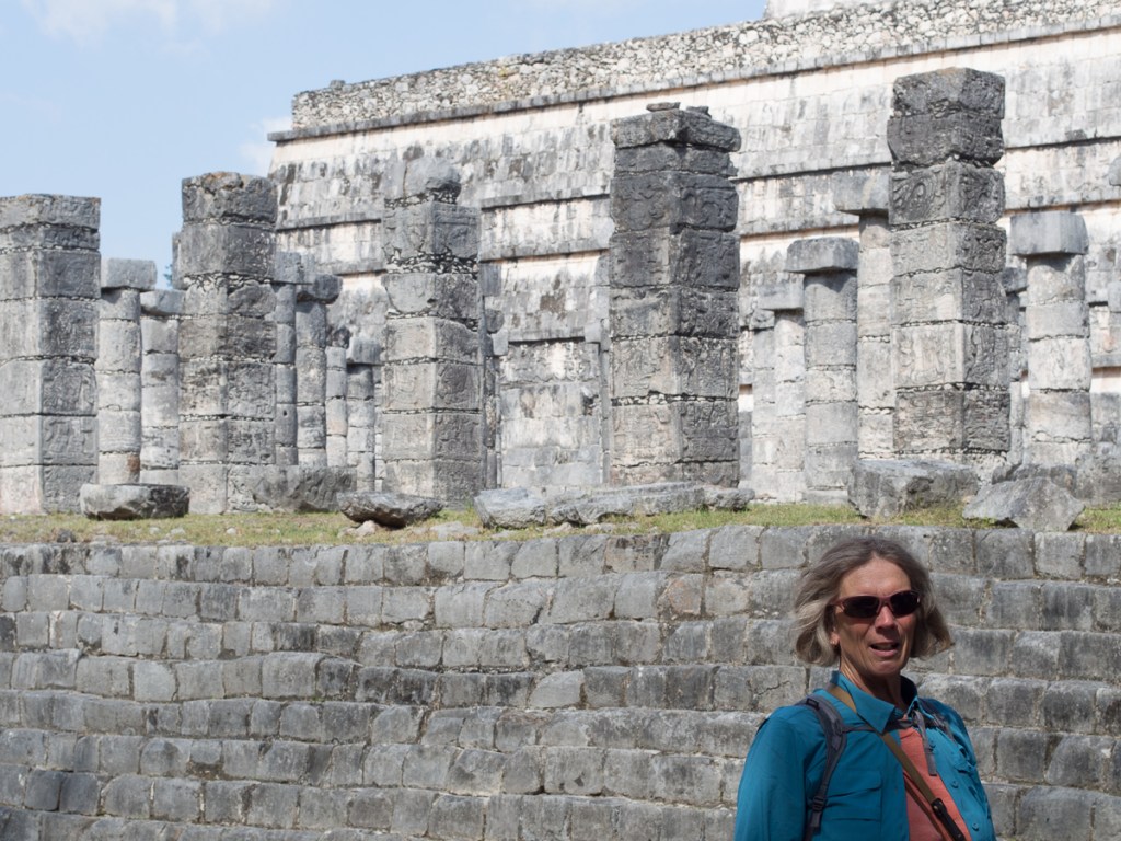

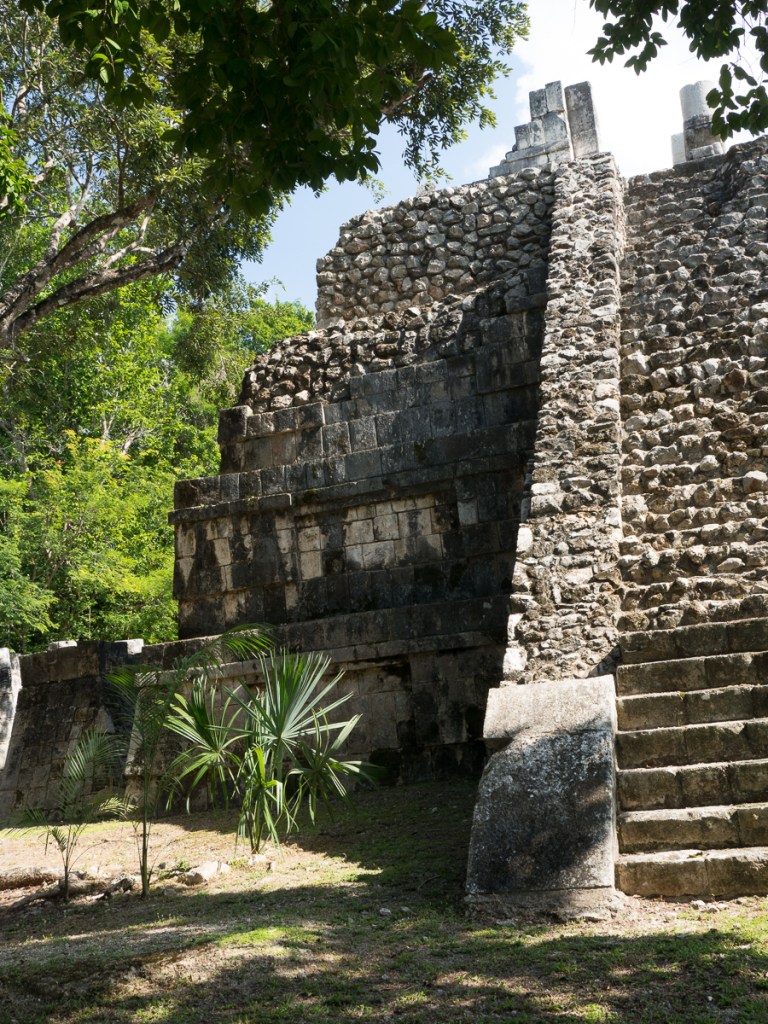
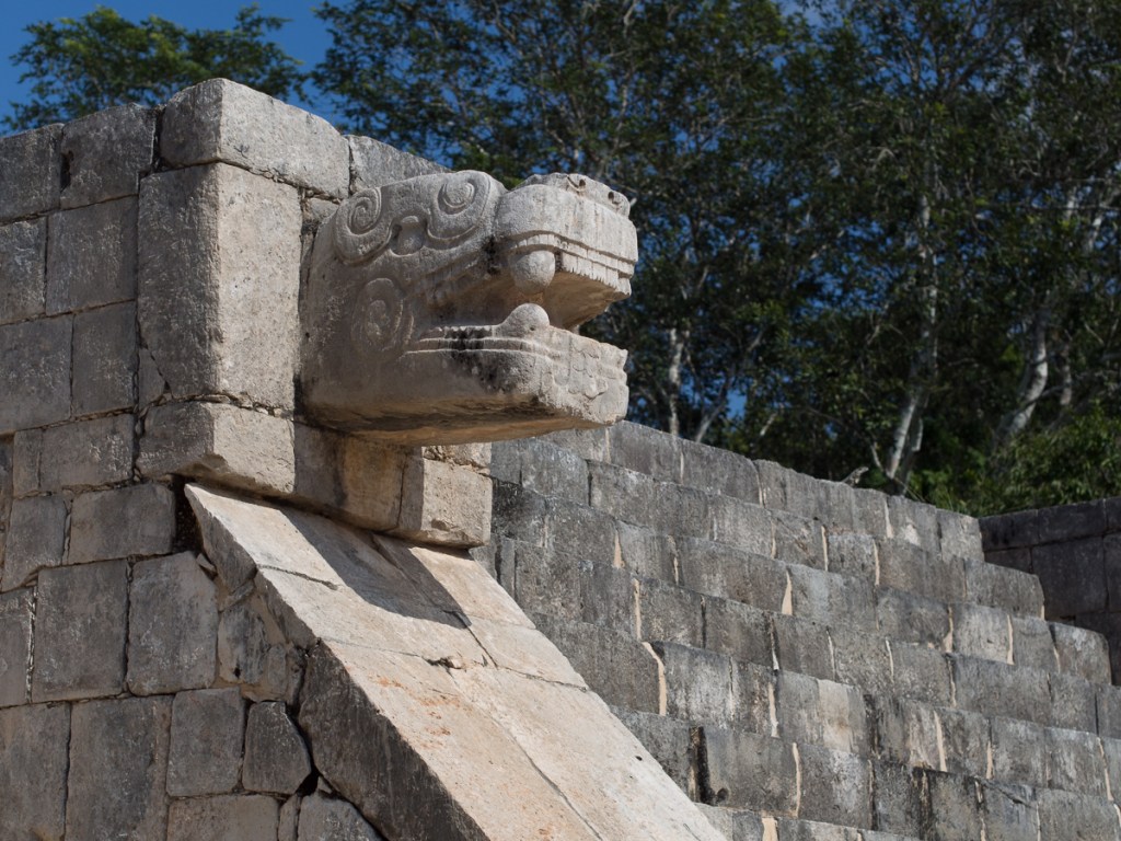
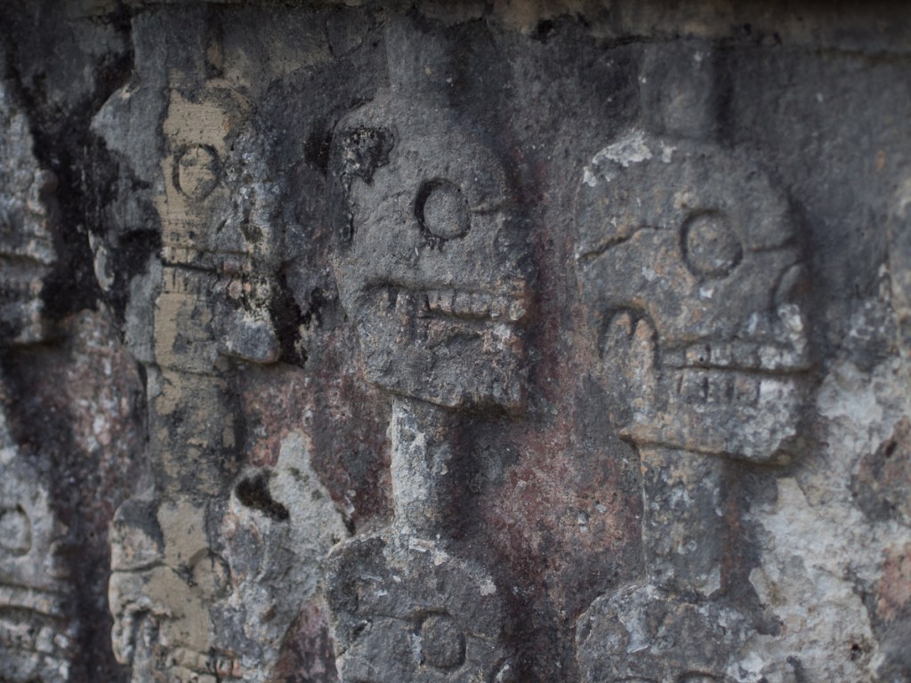
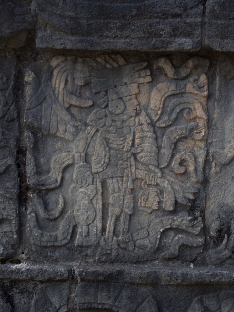
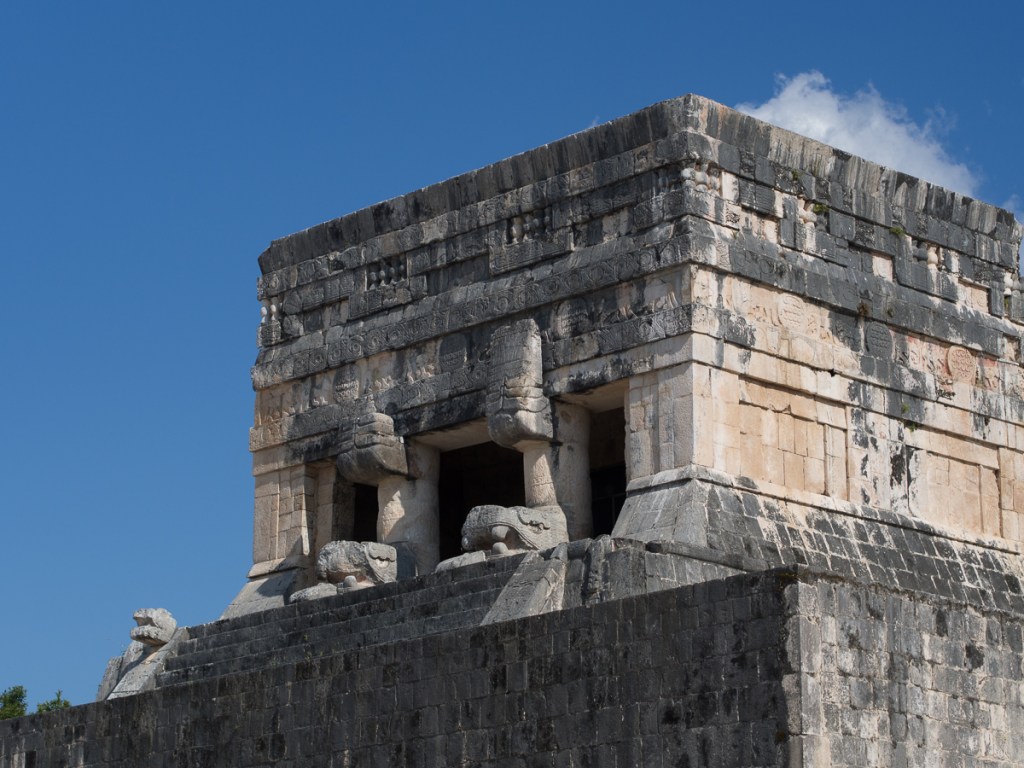
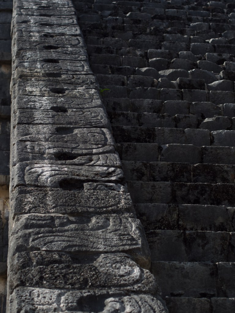

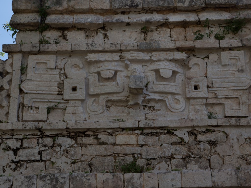
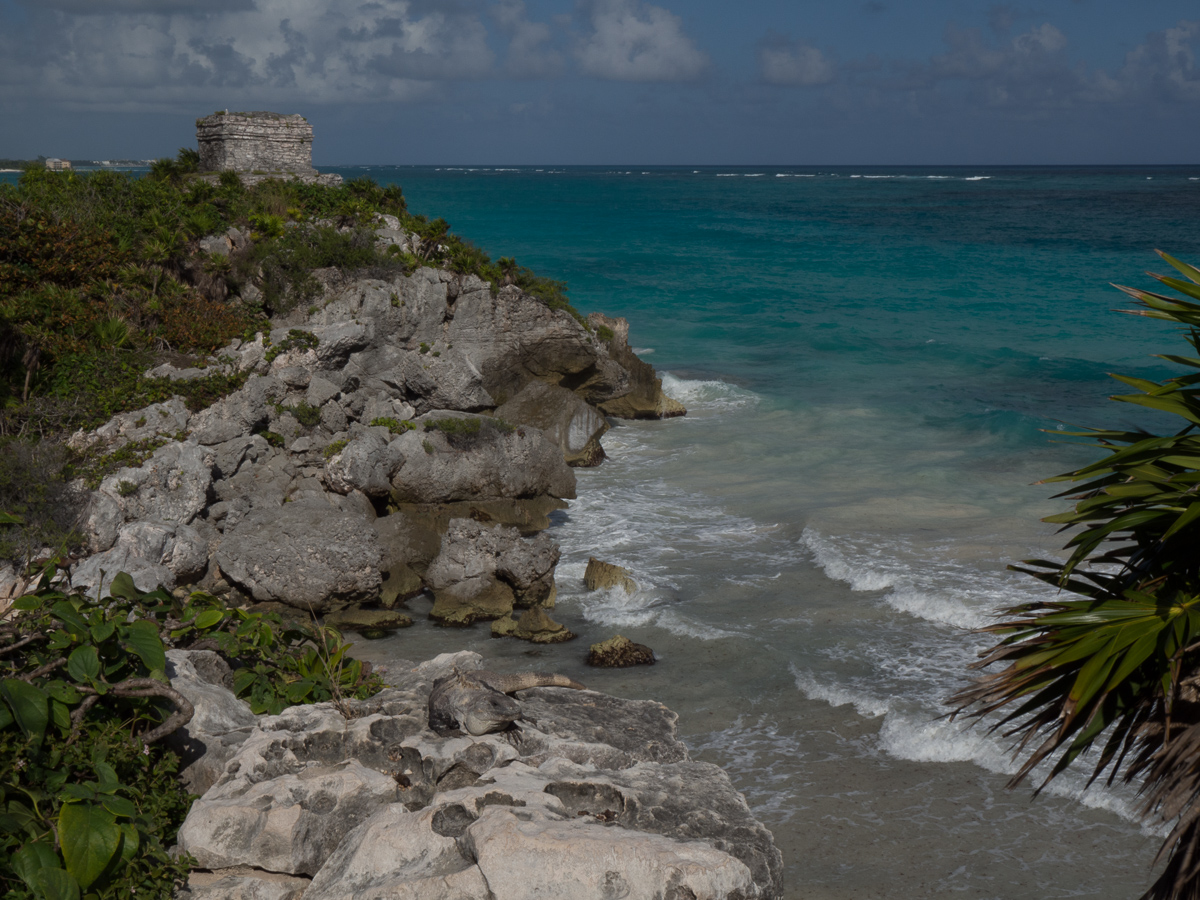
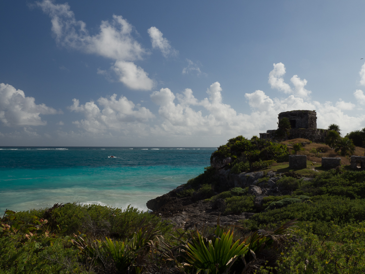
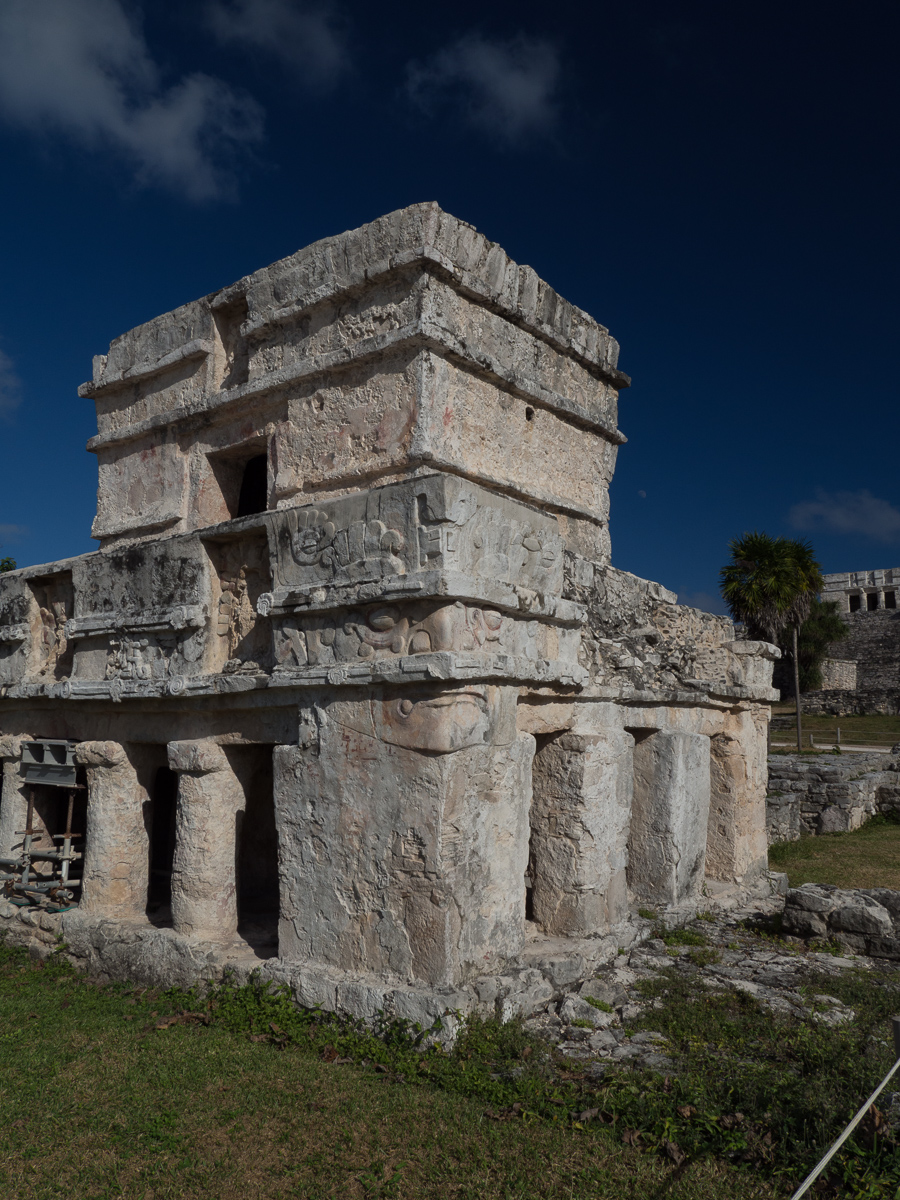
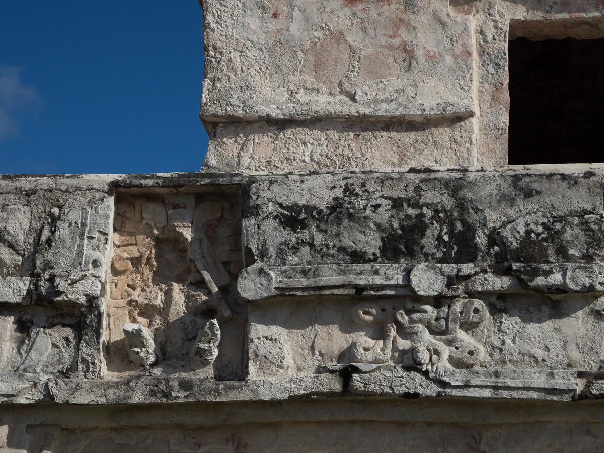
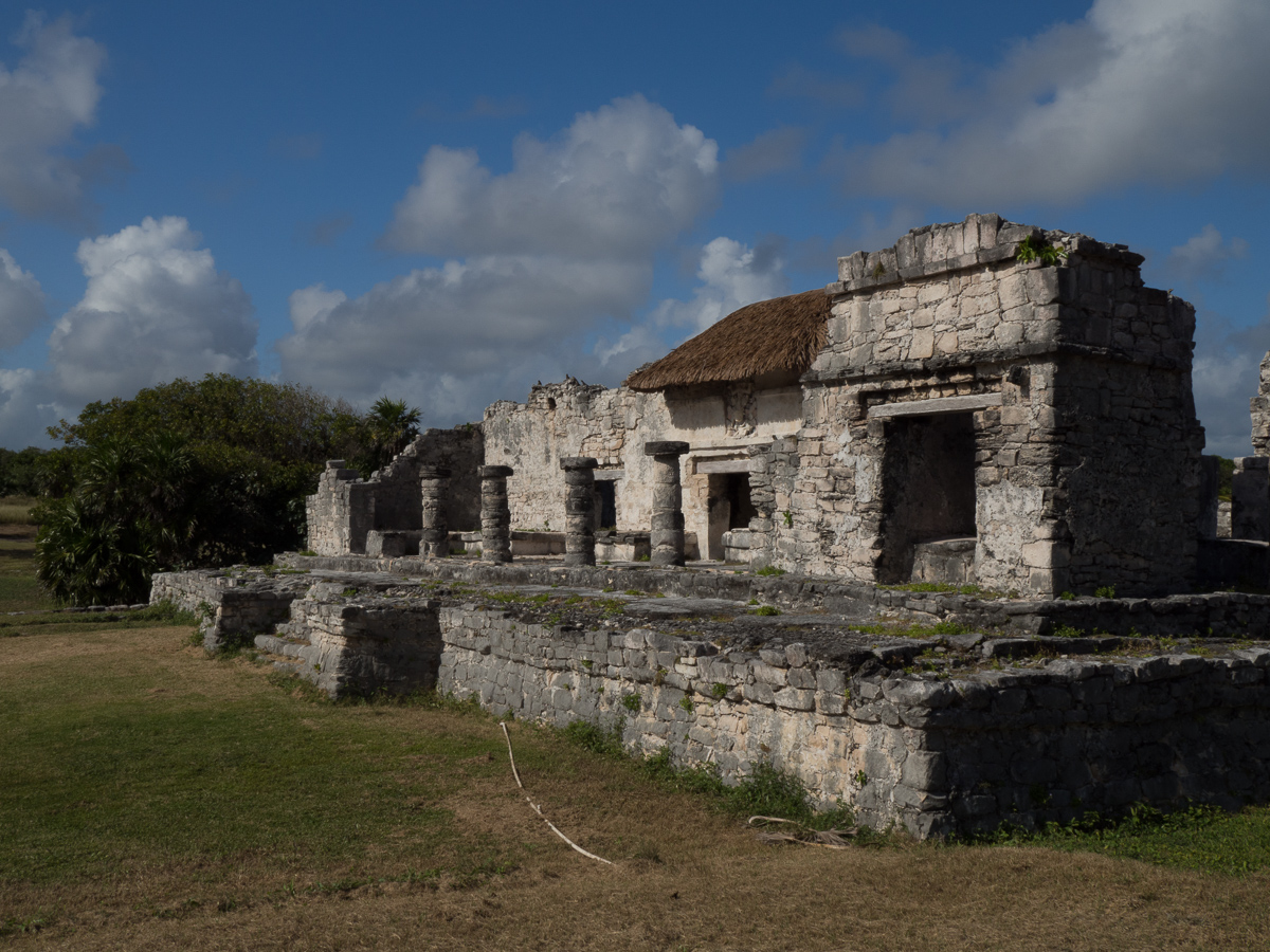
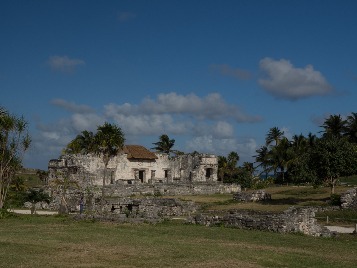
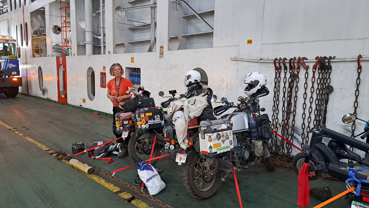
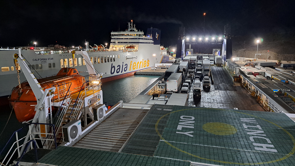
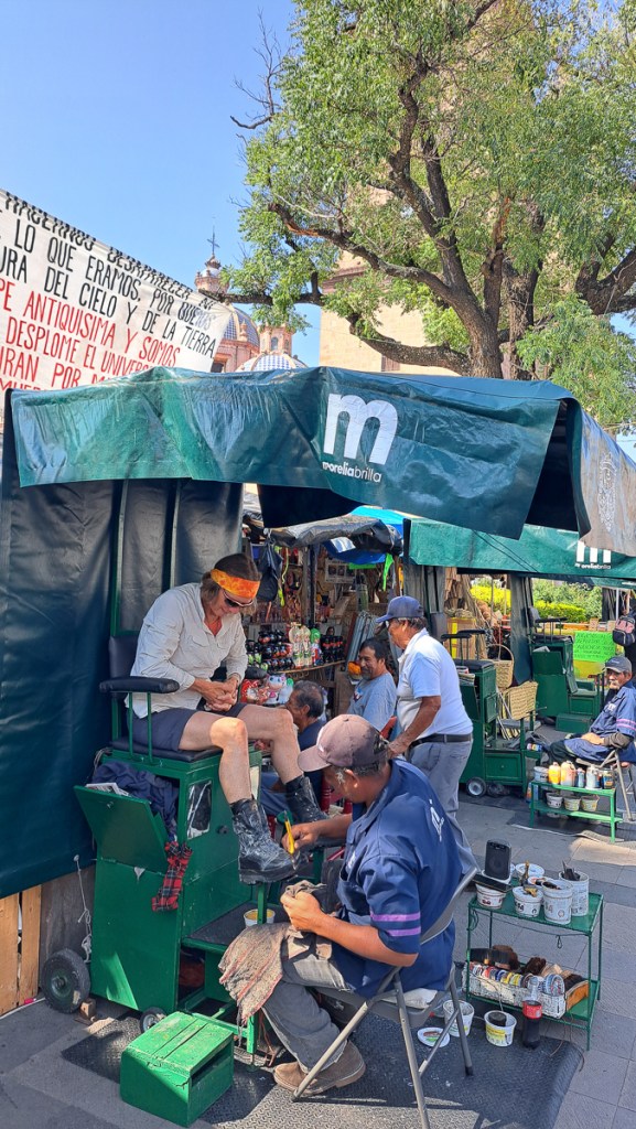
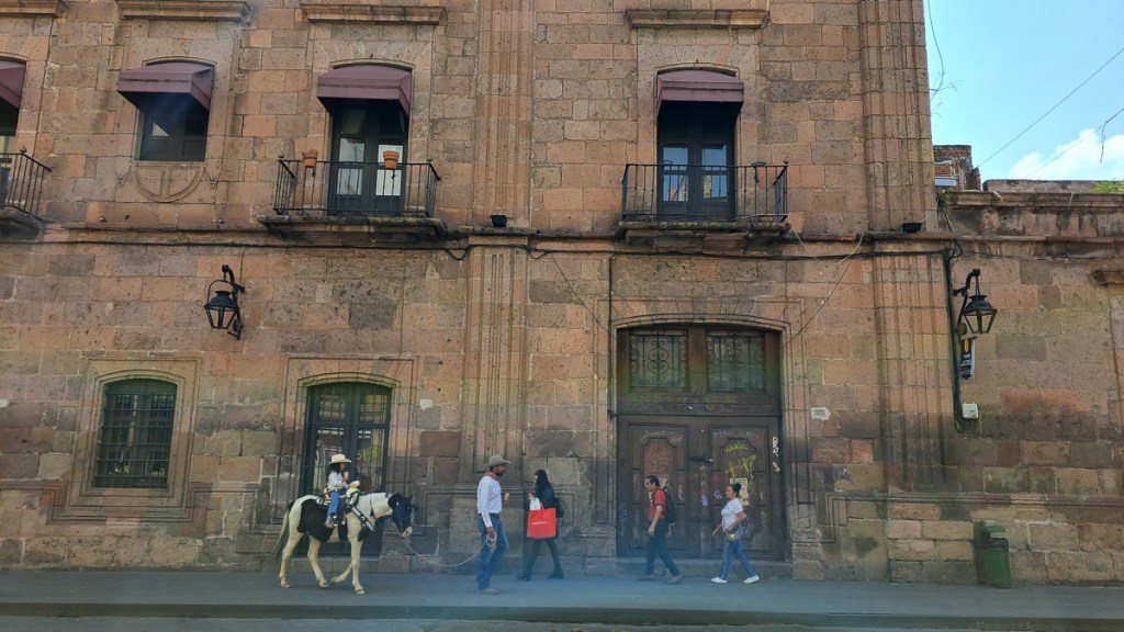

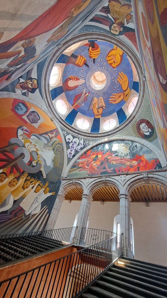
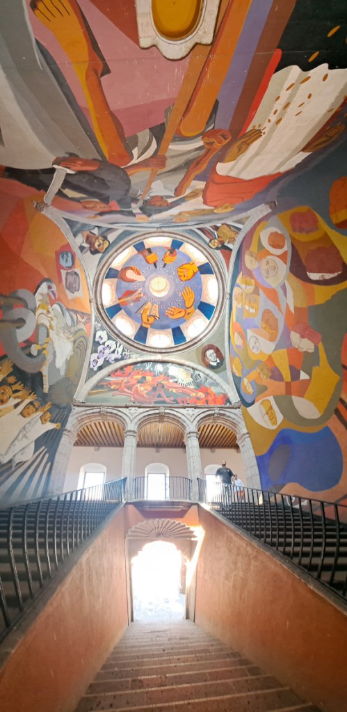
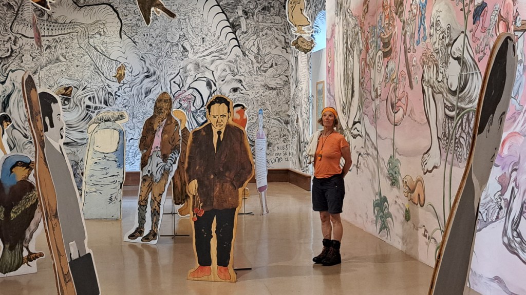
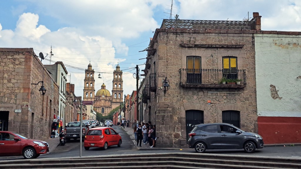
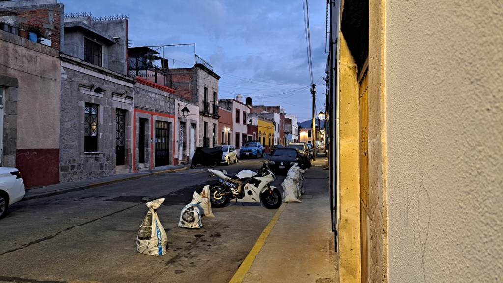

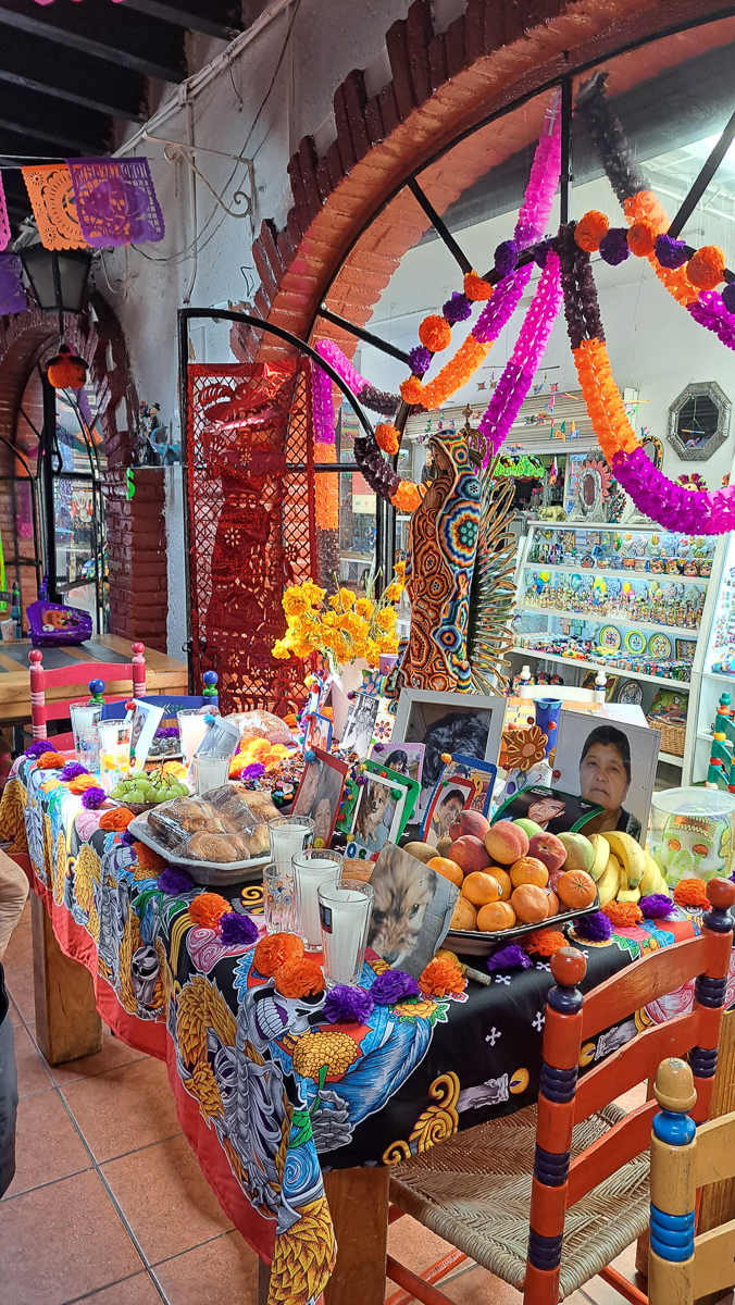
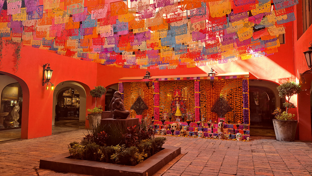
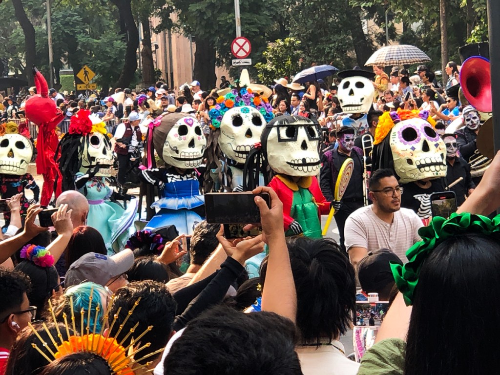
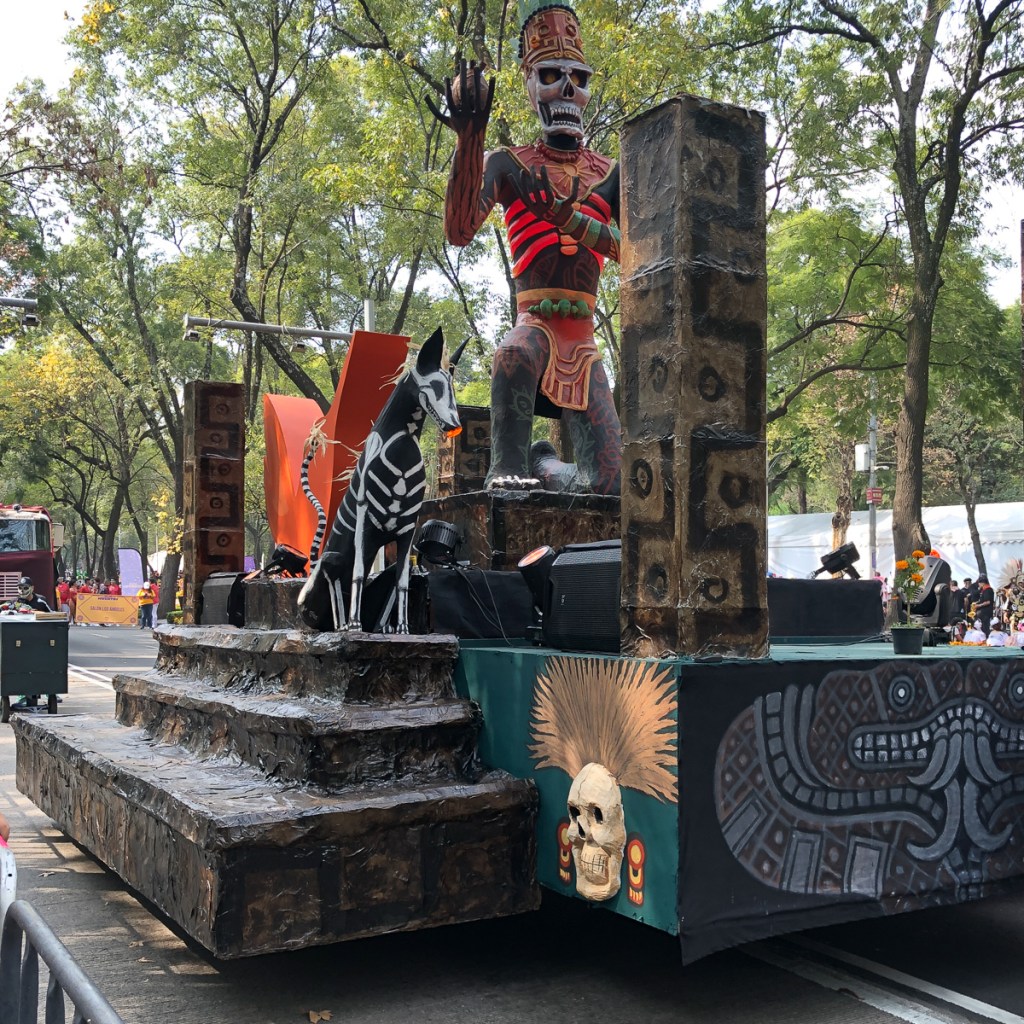
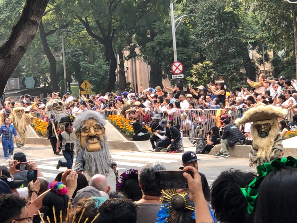
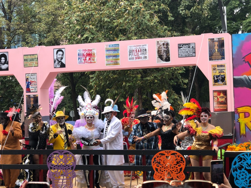
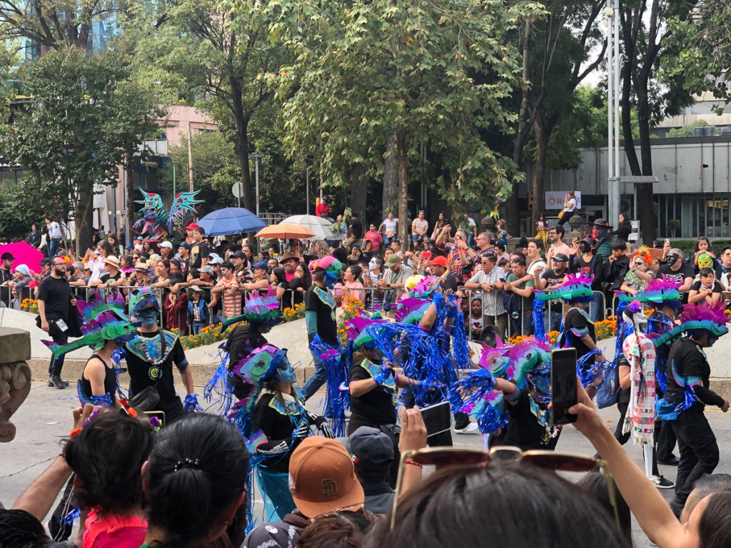
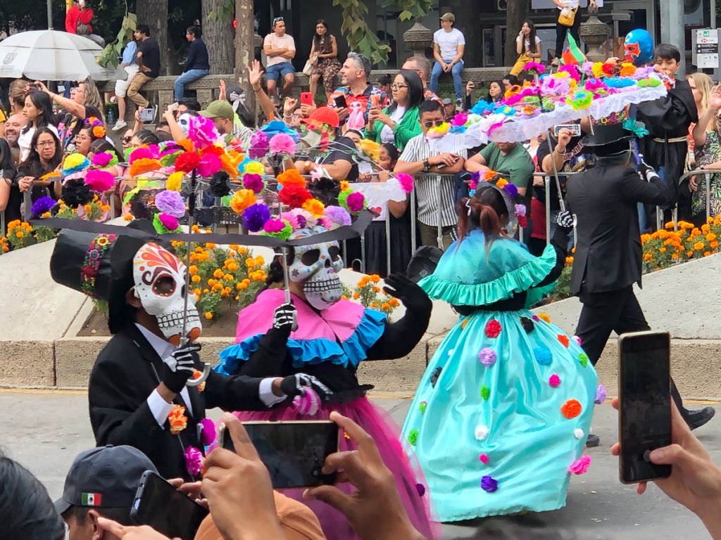
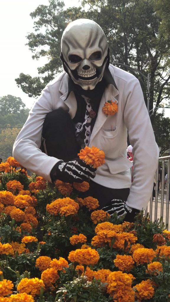
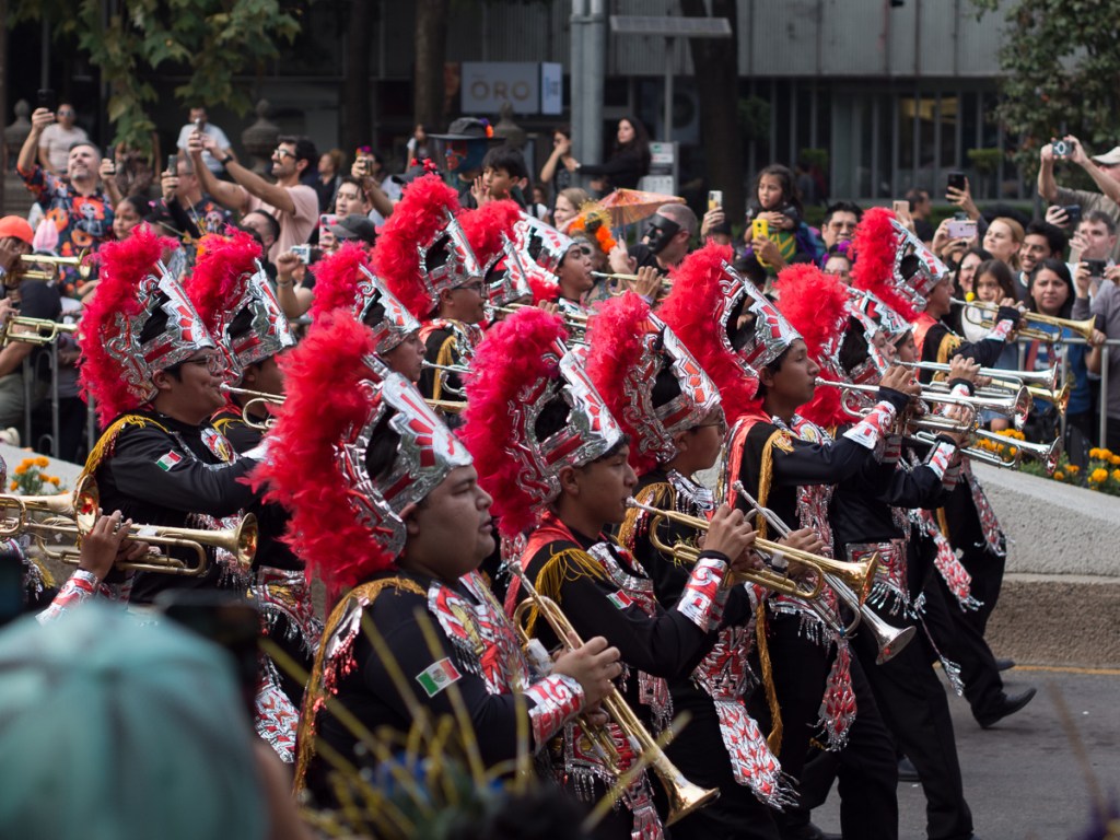
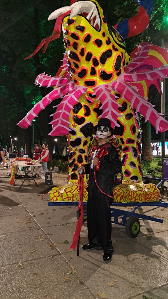

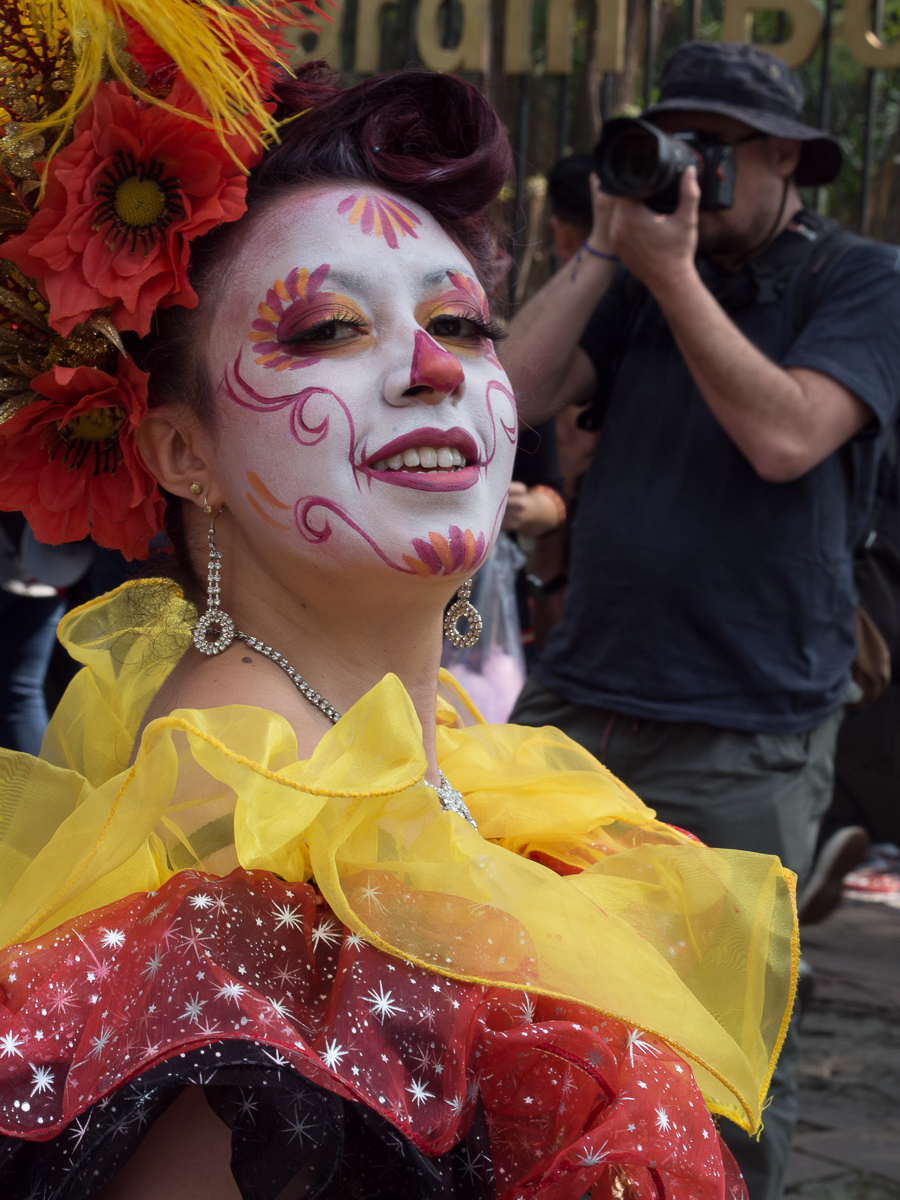
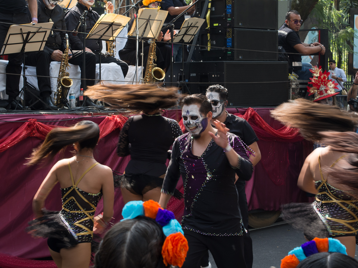
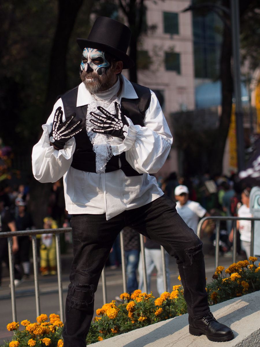
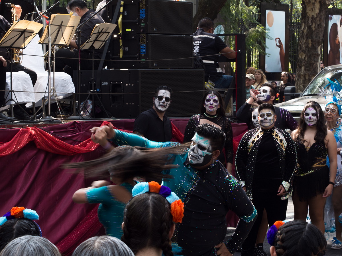
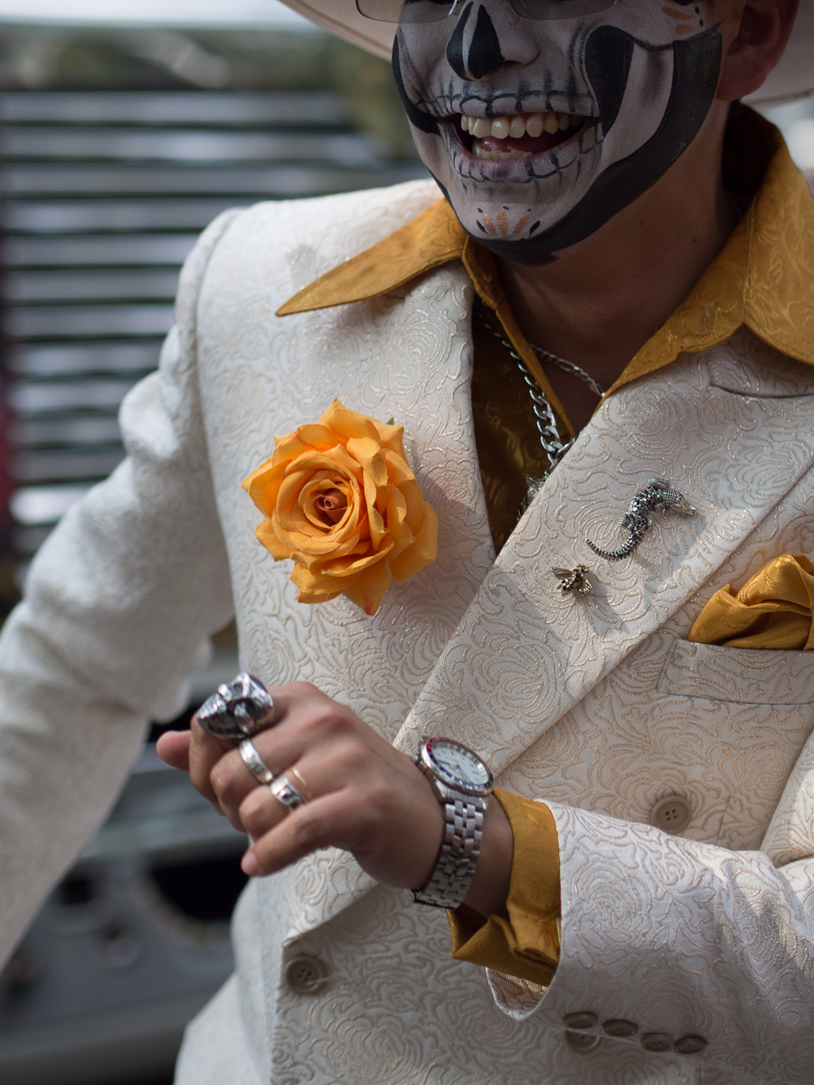
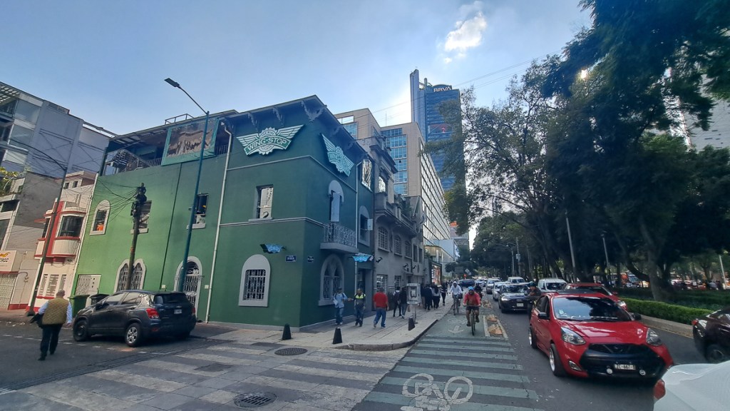


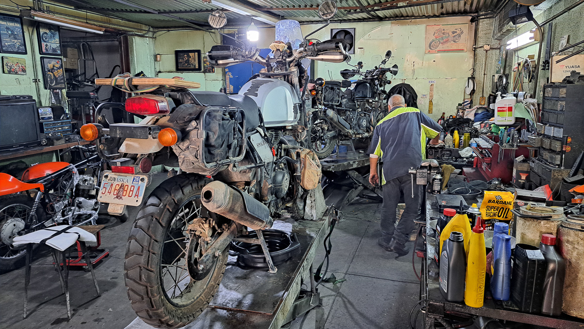
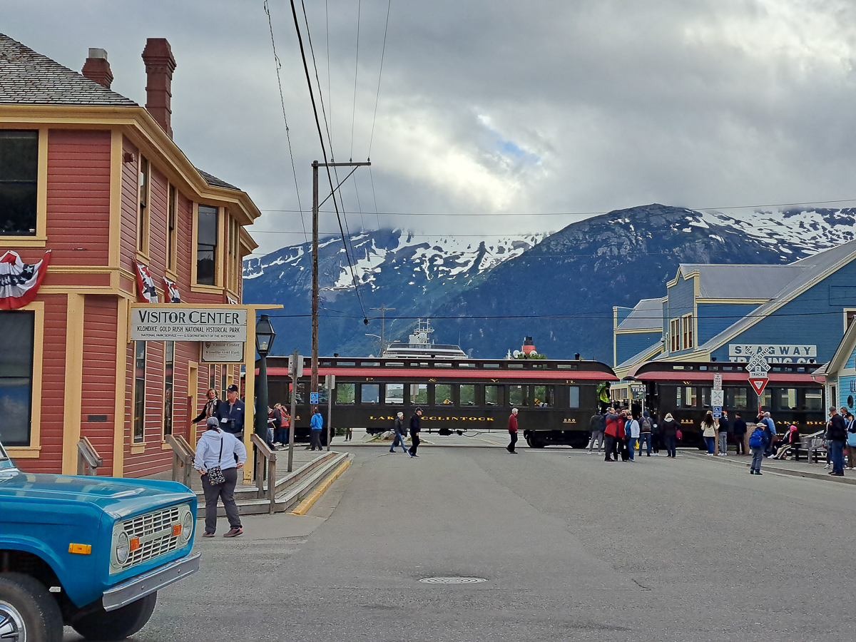

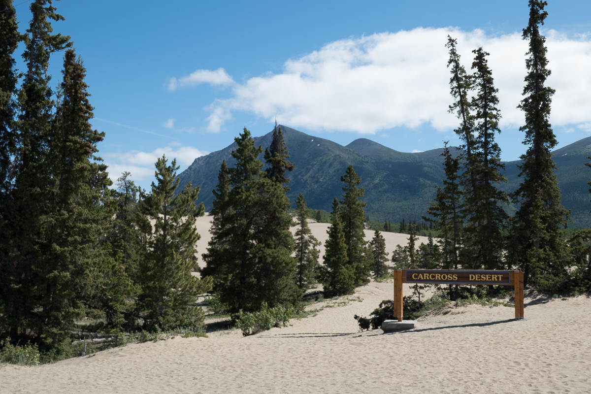
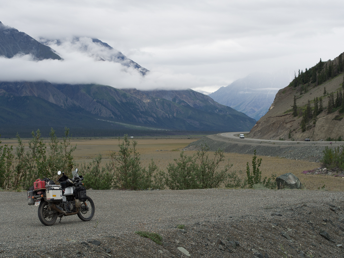
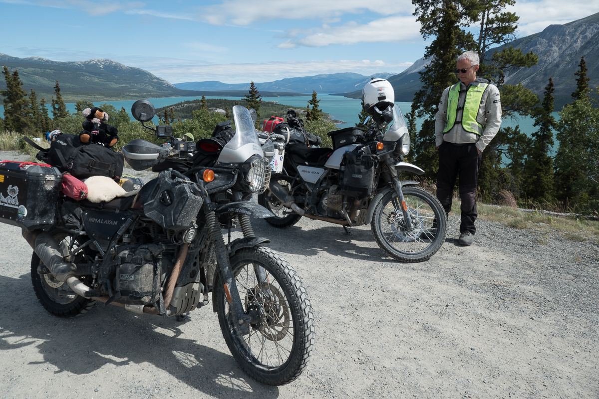
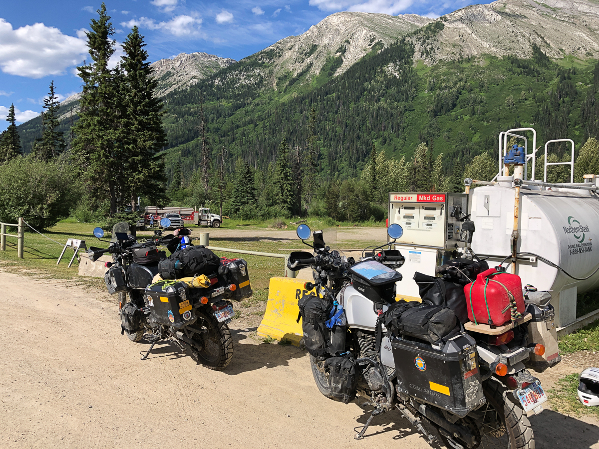
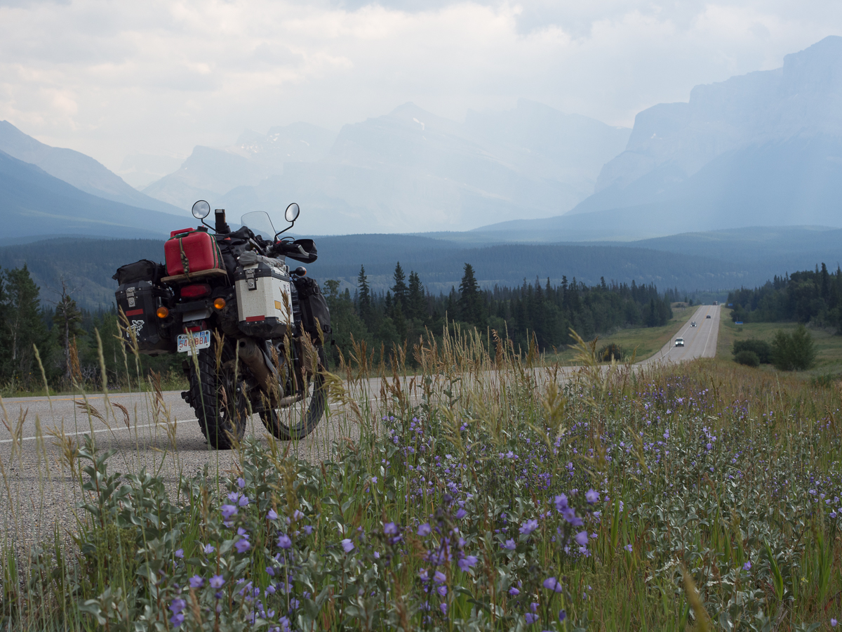
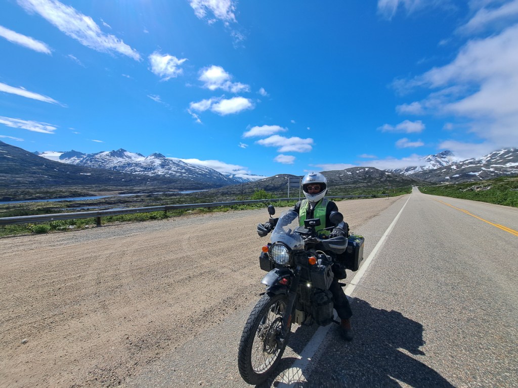
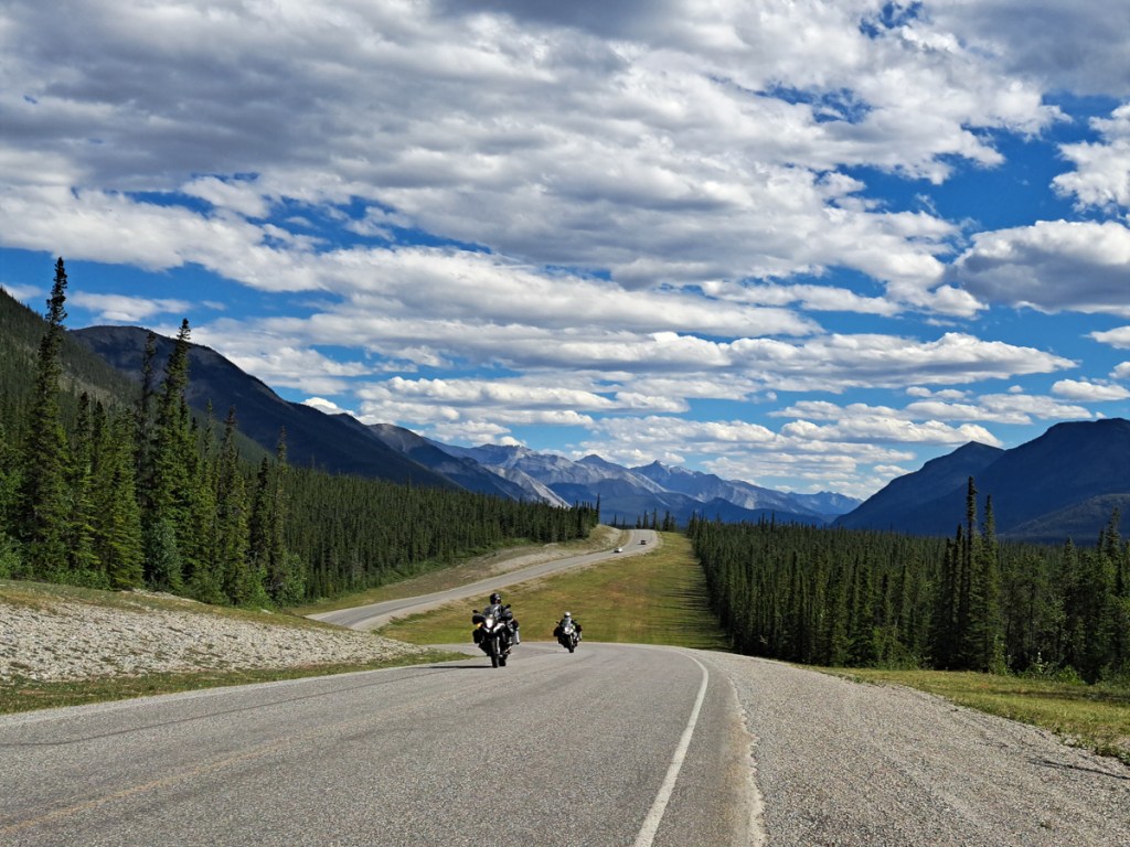
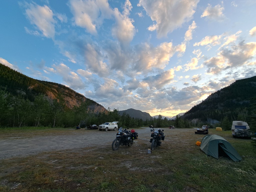
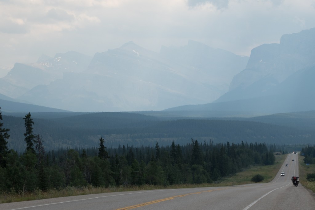
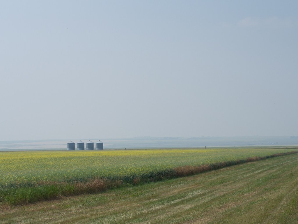
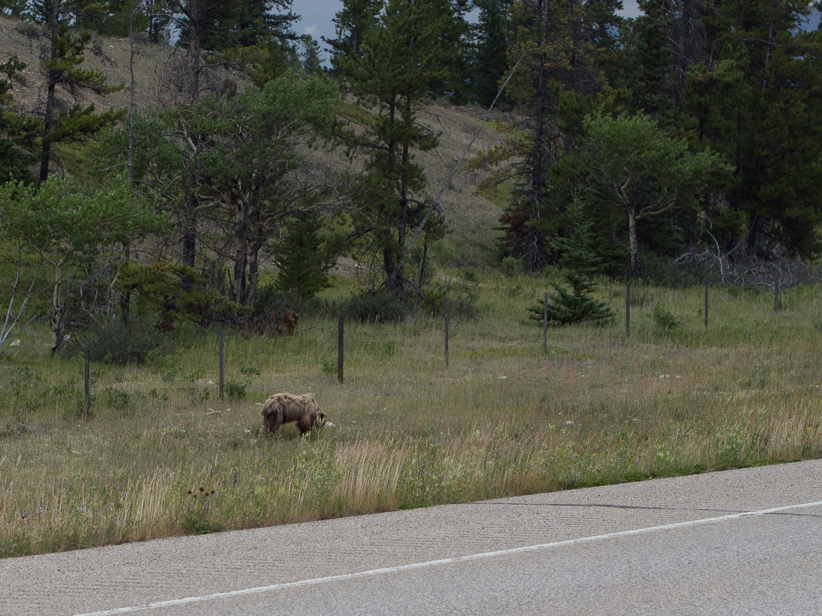
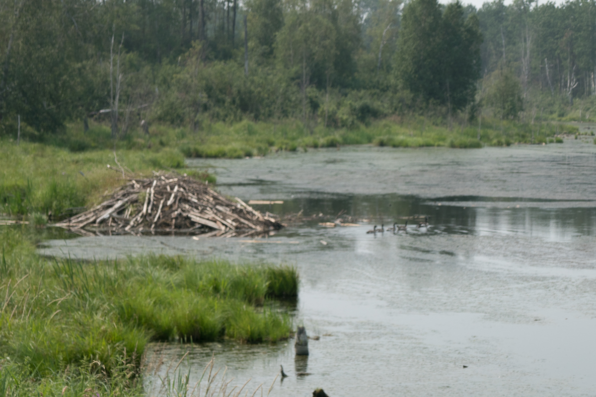
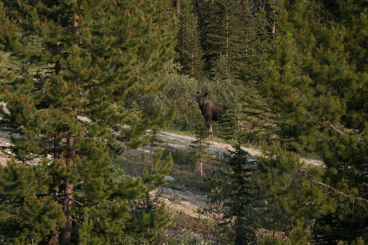
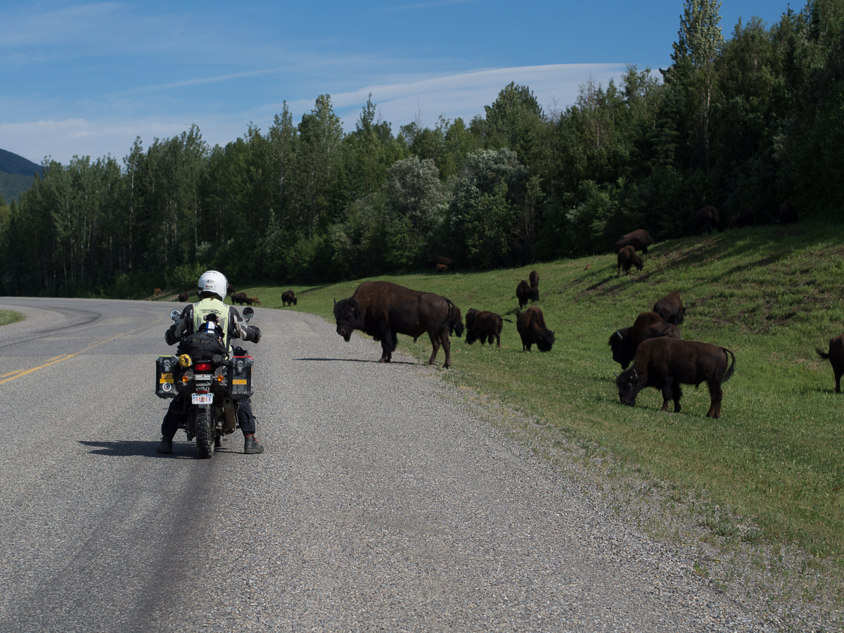

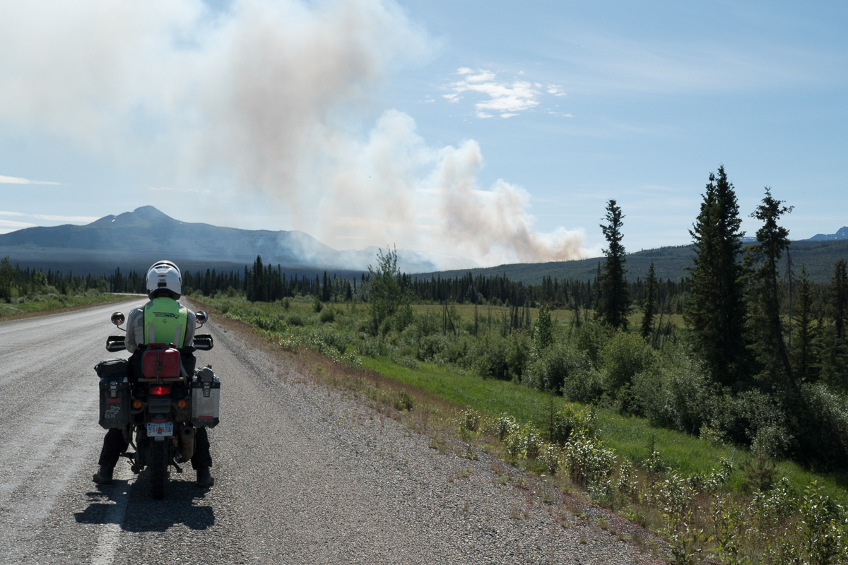
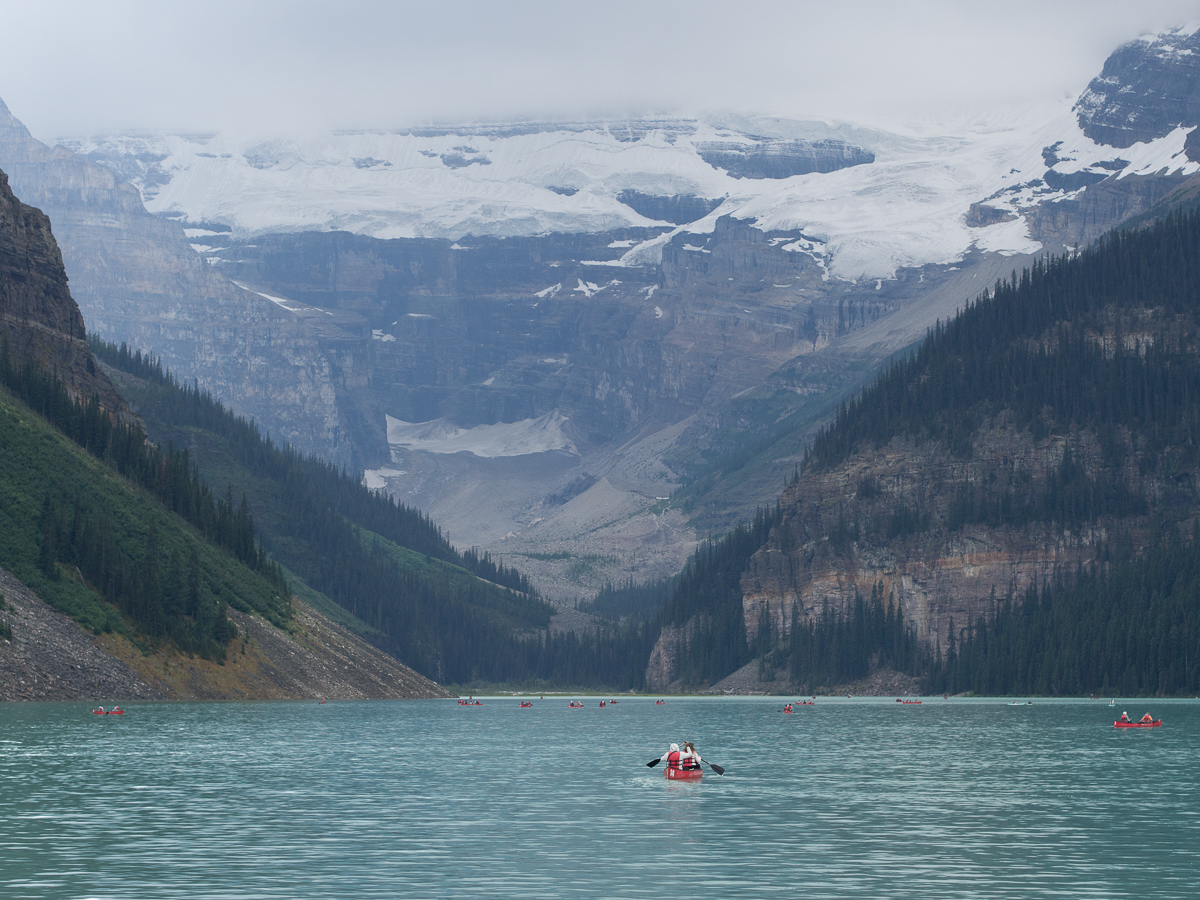

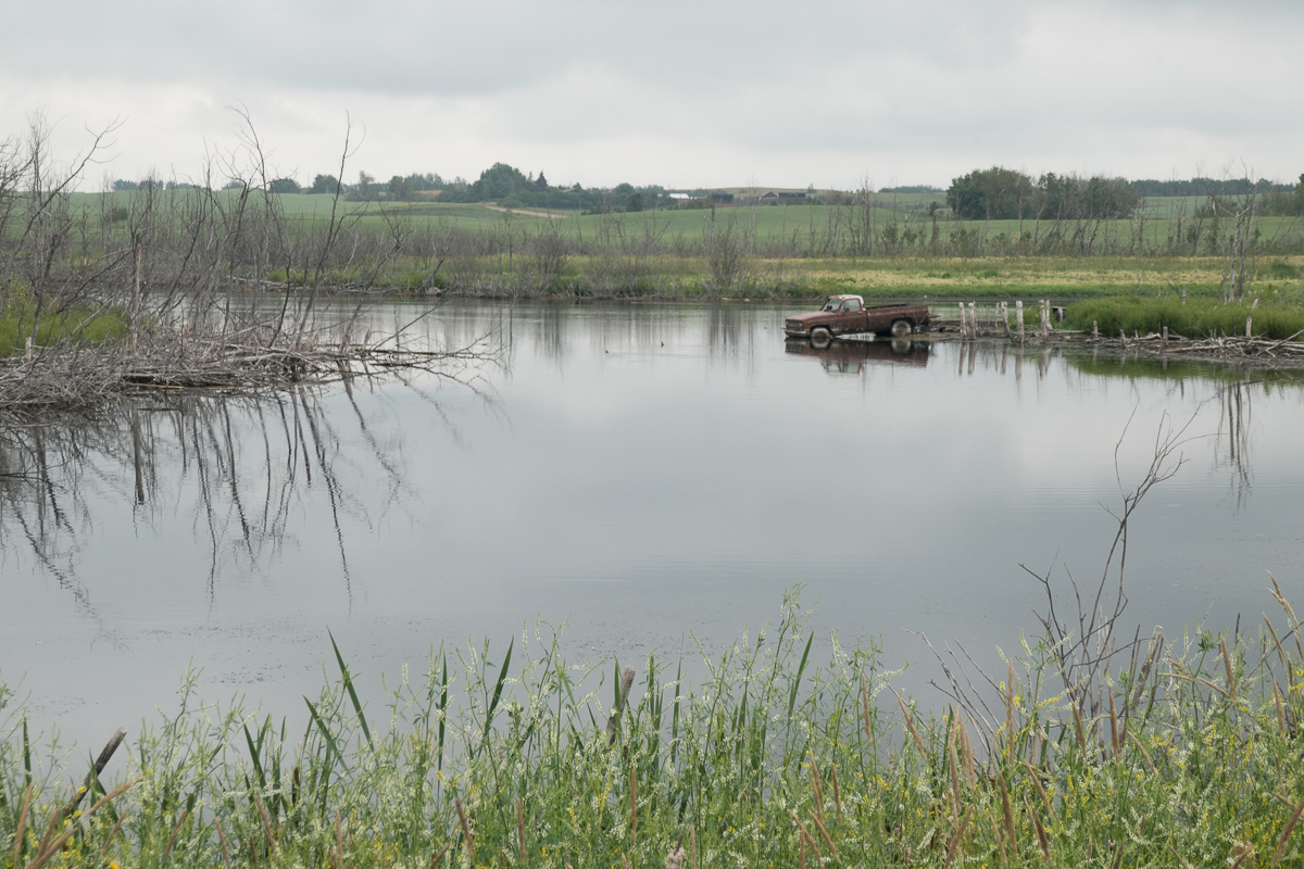
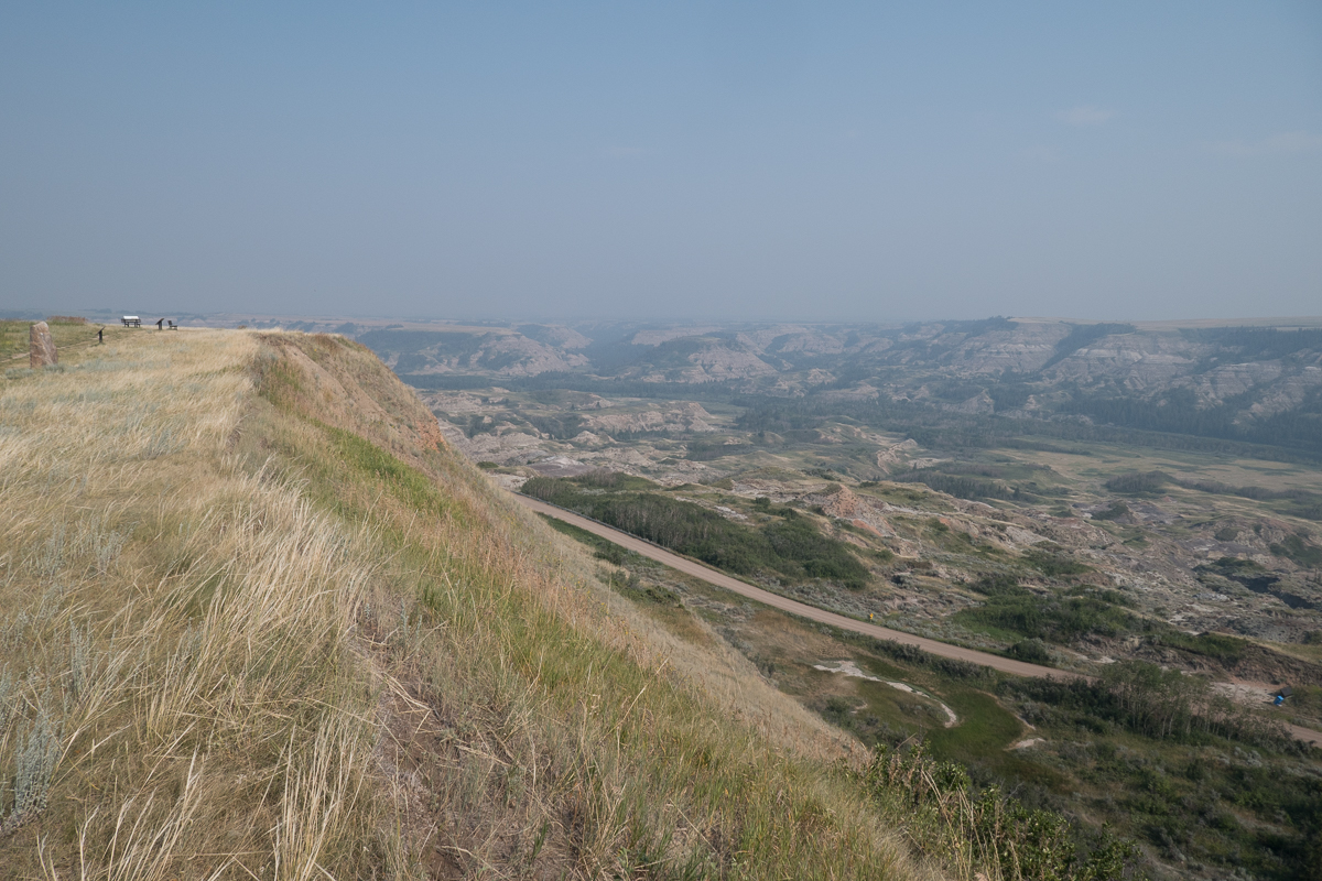
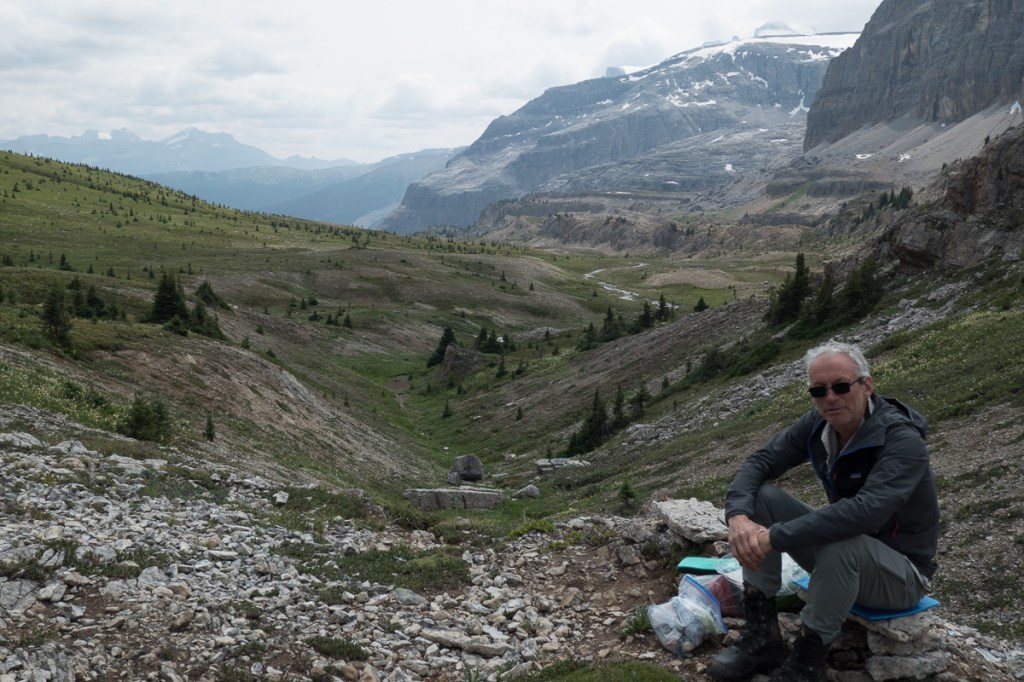
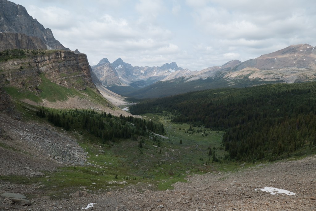
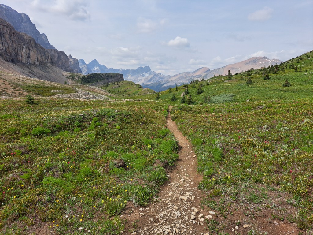
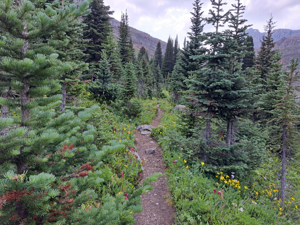
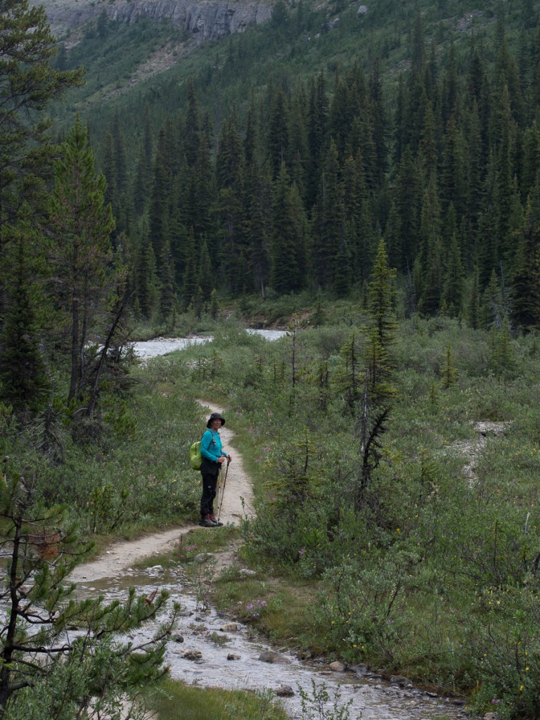
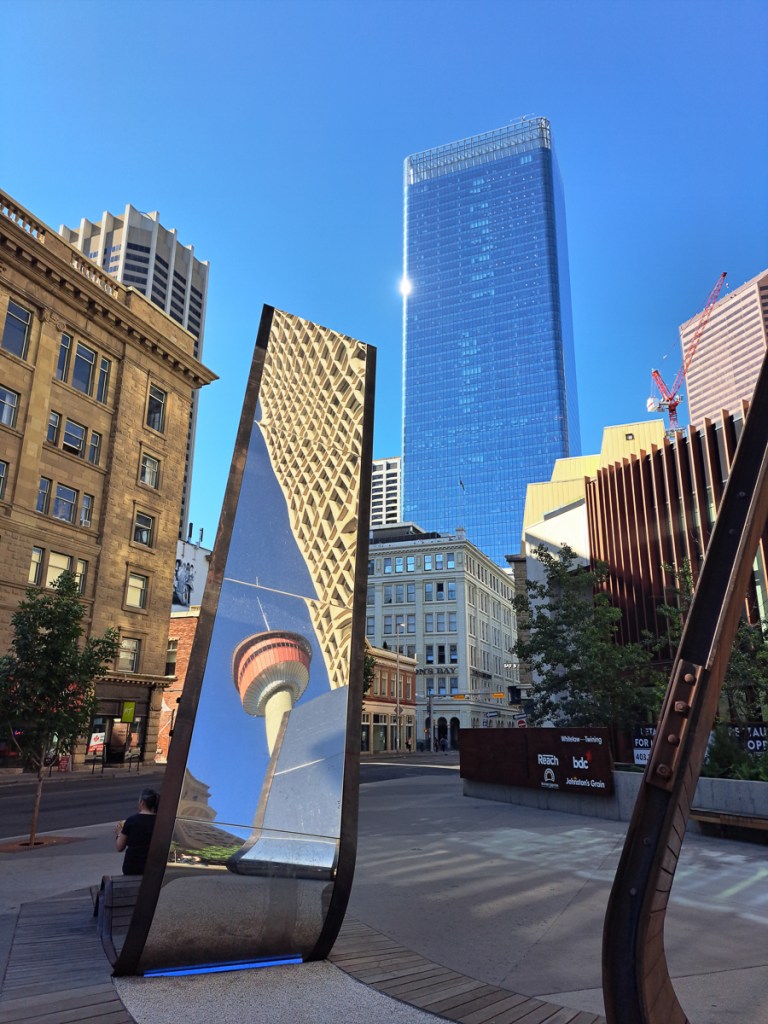

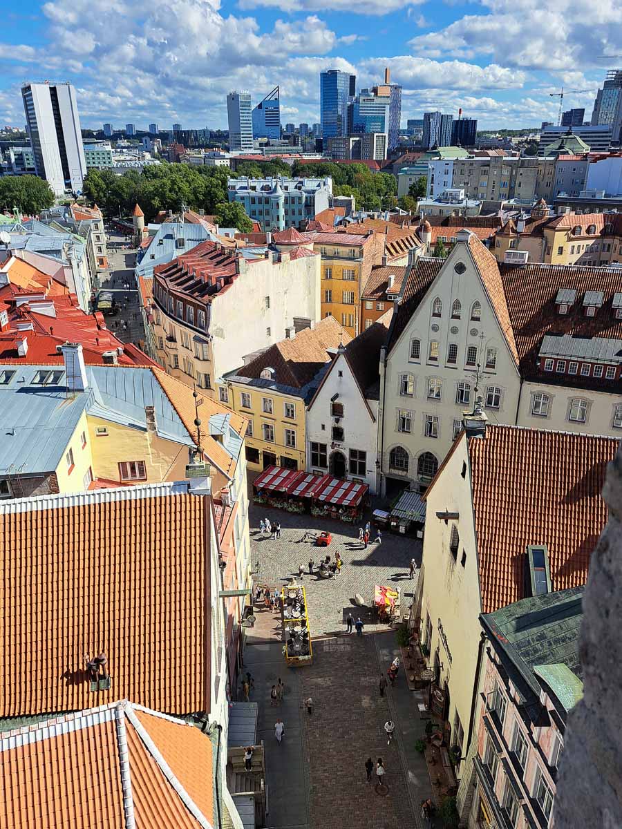


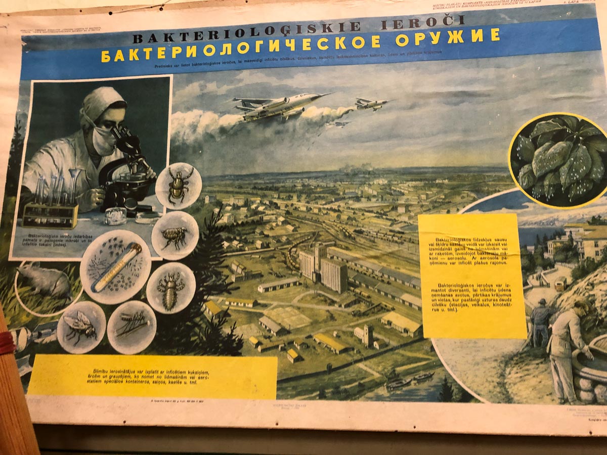


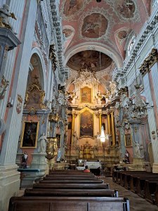
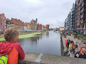
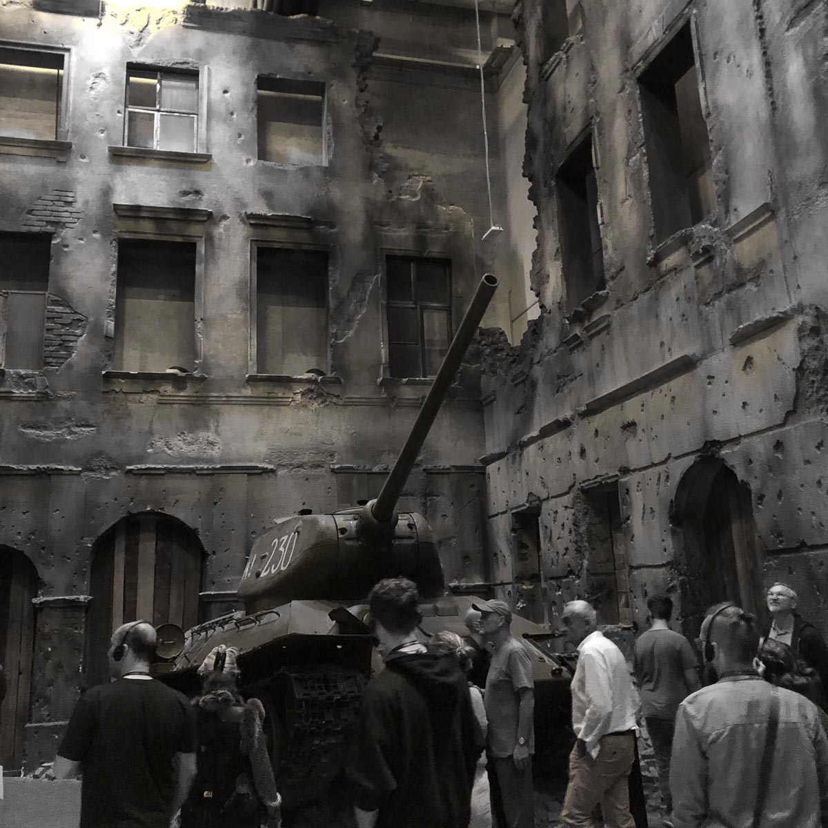


