On the Road in Guatemala

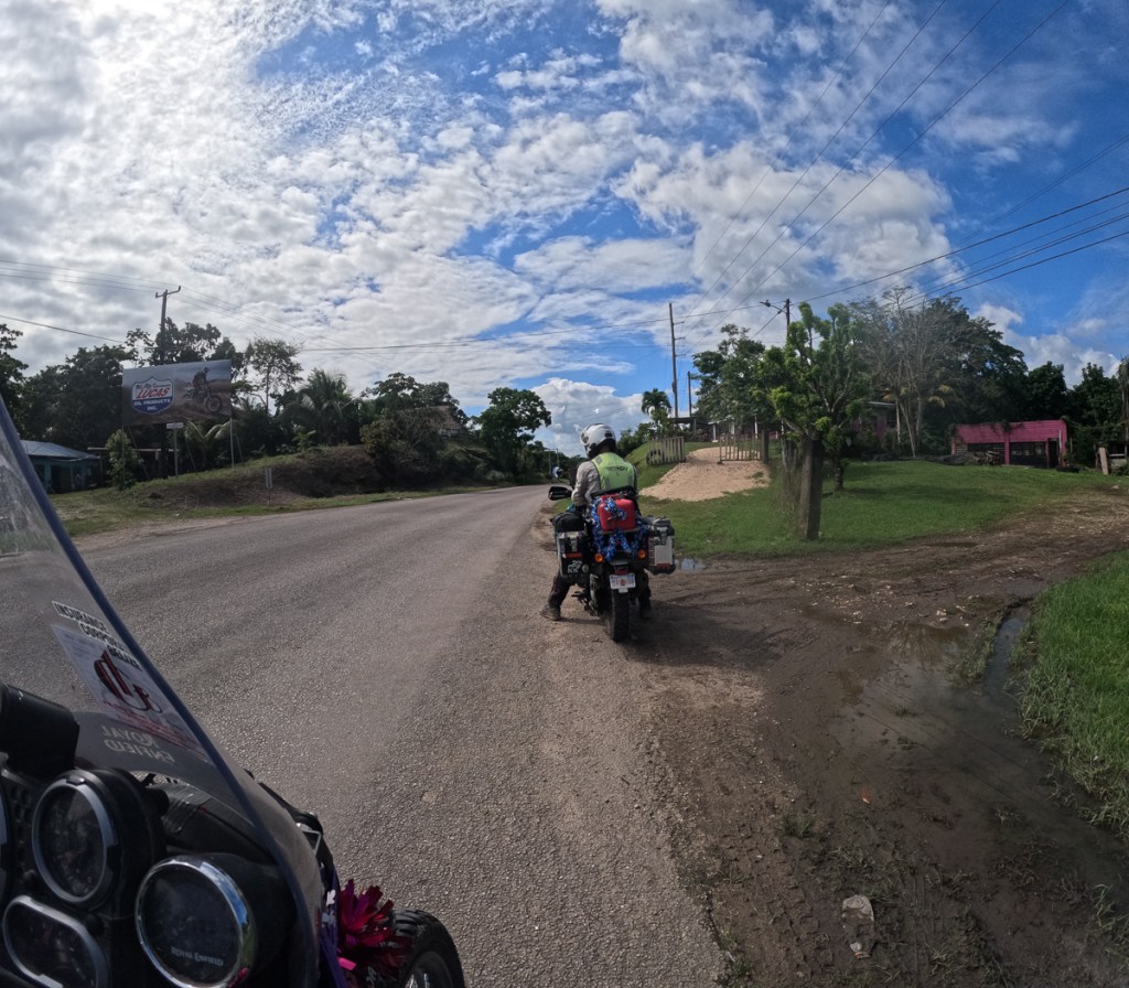
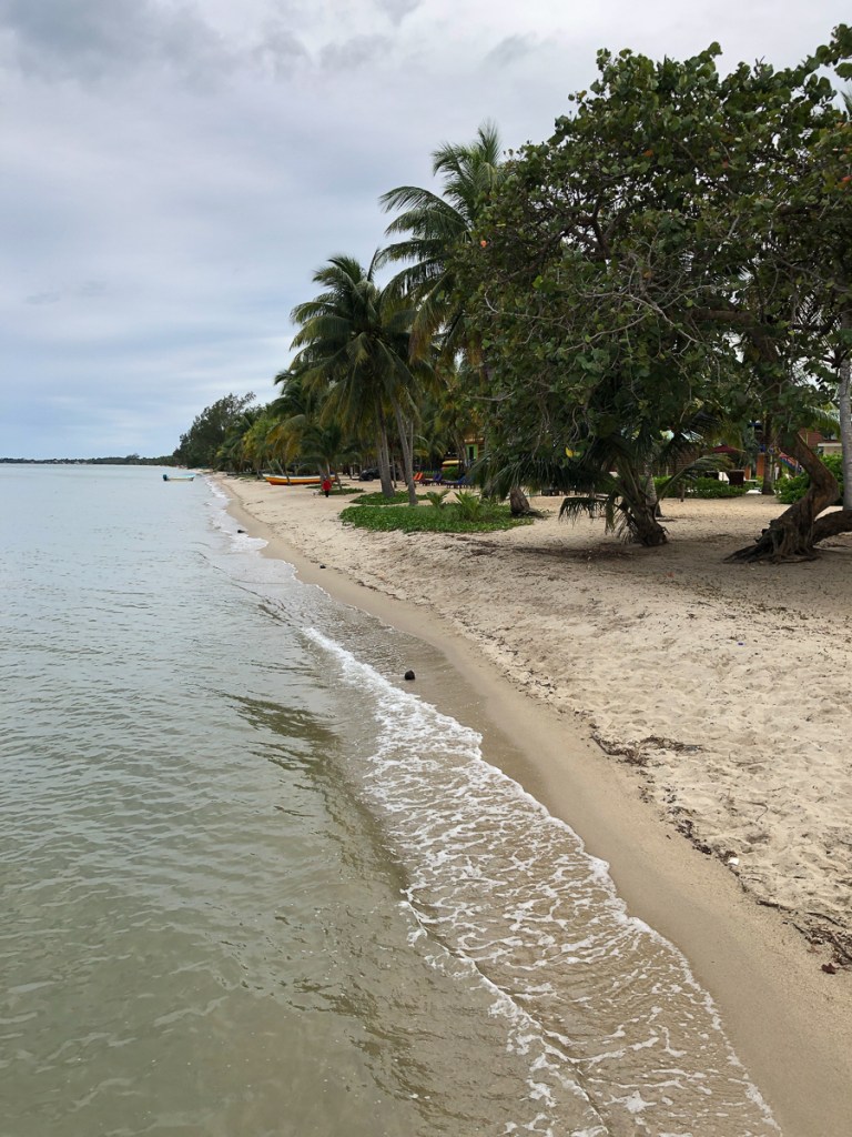
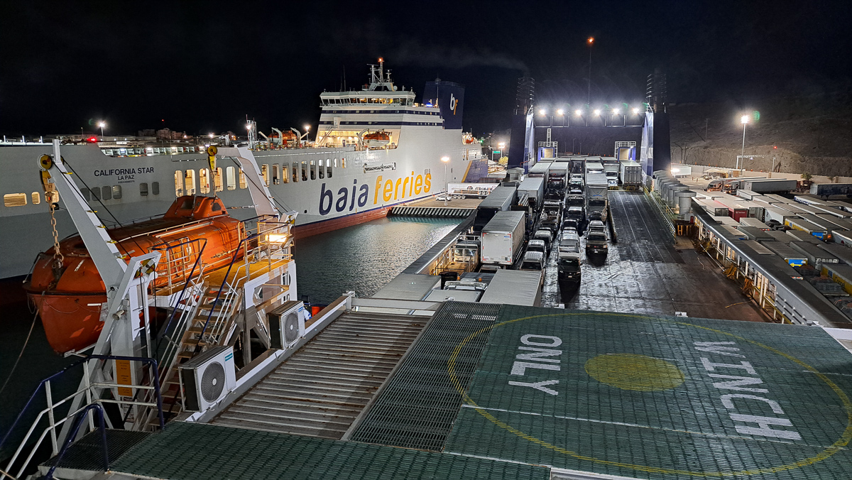
After Mexico, we were lulled into a false sense of security by the smoothish roads in Belize.  Except for the road approaching the Guatemalan border.  That was full of pot holes, dirt, gravel and was generally broken up in places.  At the border the bikes, as usual, demanded more time than we did – numbers had to be checked against documentation- registration and vehicle title,  photocopies of driving licences provided, wheels and underneath framework sprayed.  The whole process took 2 1/2 hours with the guidance of a local helper, who magically appeared at our sides. Strictly speaking, his services were unnecessary, but he knew where everything was, and probably saved us 30 minutes. No specific fee was solicited, I think we tipped him 50 Quetzals – about £5 – probably too much.

Then – we were back into the bumpy ole Mexican style roads.

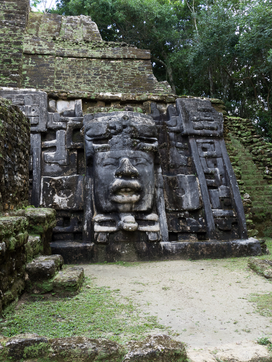
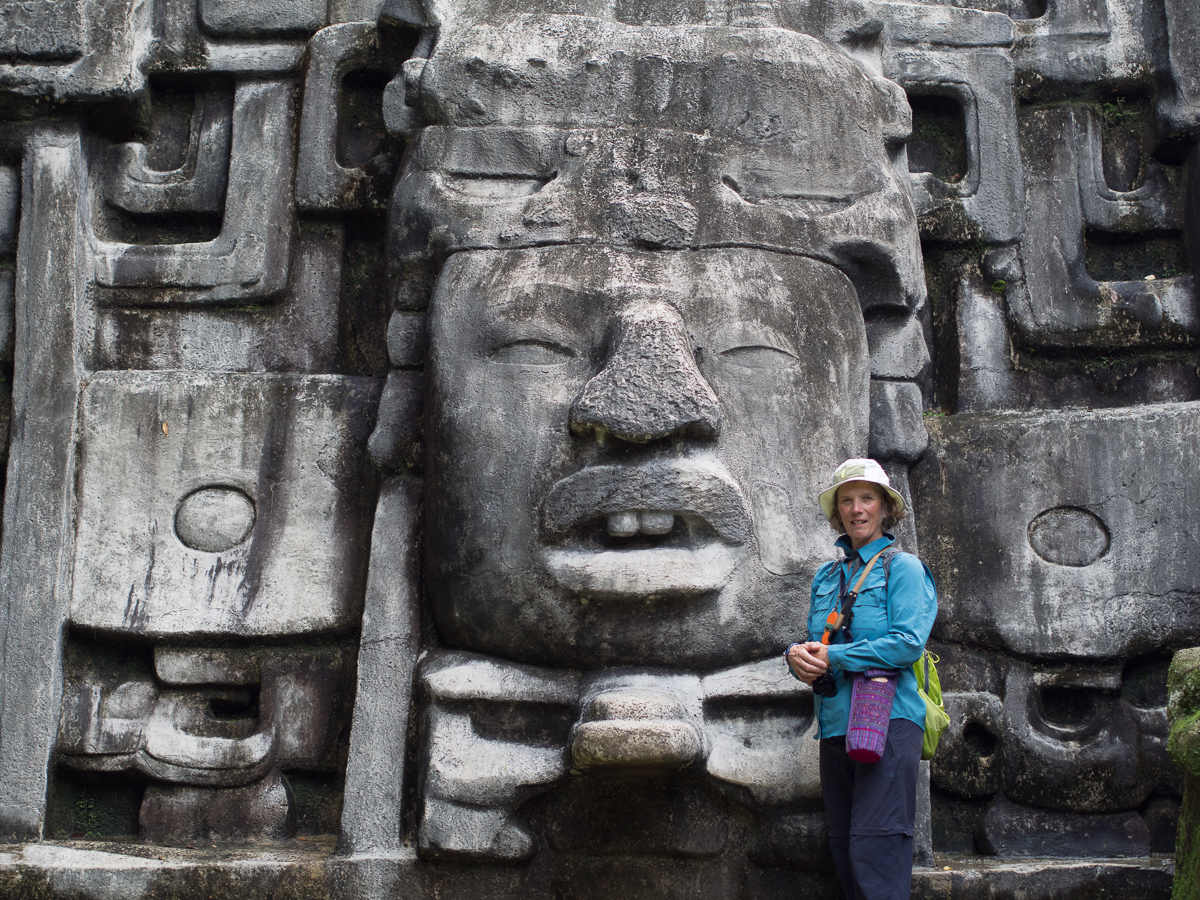
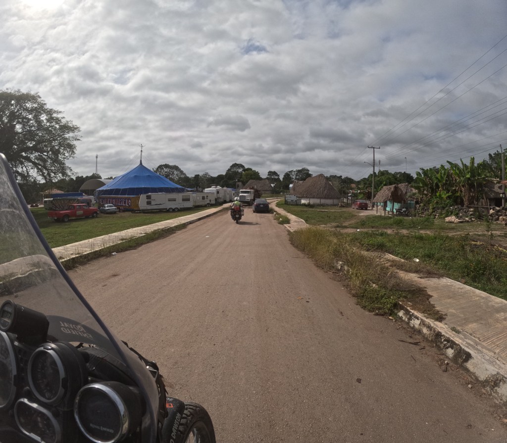
Initially we stayed on the main road into Guatemala.  The decision was easy as it is the direct route to one of Guatemala’s key tourist attractions – Tikal, which we were keen to visit.  After that we went a bit more freestyle.

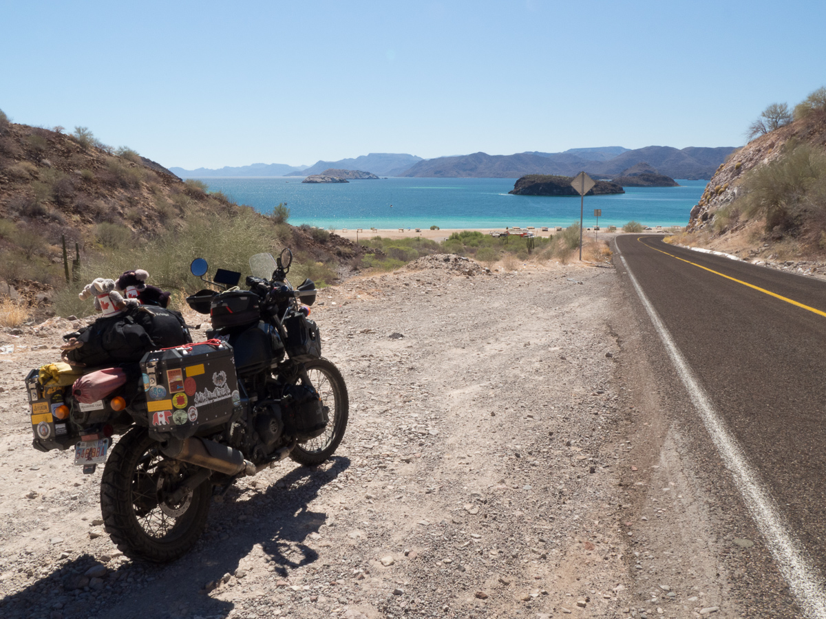
Until we left Mexico, we had had quite good navigation. My Garmin Zumo XT was the mainstay, and Gid’s cradled and powered Android phone with OSMAnd was backup and a second voice.  Both systems often came up with different routes and both maps had a different interpretation of ‘no dirt roads’/’no 4×4 roads’ and other criteria.  The Garmin also scores in crowded areas because it verbalises the instructions.  ‘Turn right at the traffic lights’ is useful in crowded unfamiliar areas.  Although maddeningly, it cuts off the intercom not only while it does so, but for many seconds before and after just at the point when we are trying to discuss the intricacies of our route.  OSMAnd verbalises too, but it’s instructions (or mapping) are poor, and utterly useless around slip roads, which it can only display in very limited circumstances.

As a back-up and for planning we always have a paper map, old farts that we are.

But as soon as we left Mexico, Garmin’s North America mapping finished, leaving a blank screen. Occasionally it did show a road but we wouldn’t be on it.   It wasn’t a big problem in Belize because it is a small country with relatively few roads.  The small scale free tourist map did just fine, although absent from it were the new bypasses of some of the larger towns such as Orange Walk.

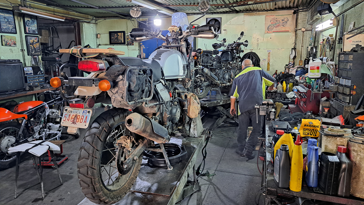
Gideon: In Belize we hit quite a bit of rain, so the cradled Android phone was pretty useless. The charging arrangements are not waterproof, and it can’t run all day without power. The Samsung A series phone is nominally waterproof, but water got into the camera, and it now often won’t focus properly.  It’s not just waterproofing as such – a phone touchscreen can’t reliably distinguish raindrops from fingerprints.  Clare’s Garmin is a totally waterproof device wired into the bike’s main battery and has an outdoors touchscreen (and big buttons), so it isn’t fazed by riding in wet.  Thankfully, we’ve just discovered, I can at least download the free Open Street Maps onto the Garmin so we have reliable navigation in rain but now it’s the same data as Gid’s phone, so we lose the useful combination of different mapping systems.

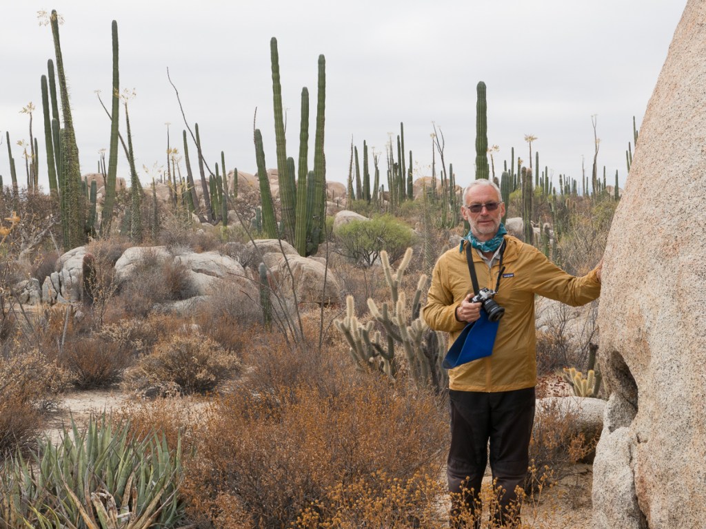
Why not use Google Maps? Well, the basic reason is that one pretty much needs to be online, and in the trickier or remoter areas there’s frequently no signal.  Also our IT incompetence and my strange priorities and meanness means that we don’t have a good, mountable, phone which will work on American cellular frequencies. The upside of this is that if some hood does nick one of our phones, we can giggle about their experiences when they try to sell or use it. Clare’s is over a decade old, and its “new” battery holds charge for, well, several hours – if it’s turned off.  Mine doesn’t work on American networks, and the camera focus is broken, and has either an expired Latvian SIM, or an expired USA SIM – ideal to leave on the bike.

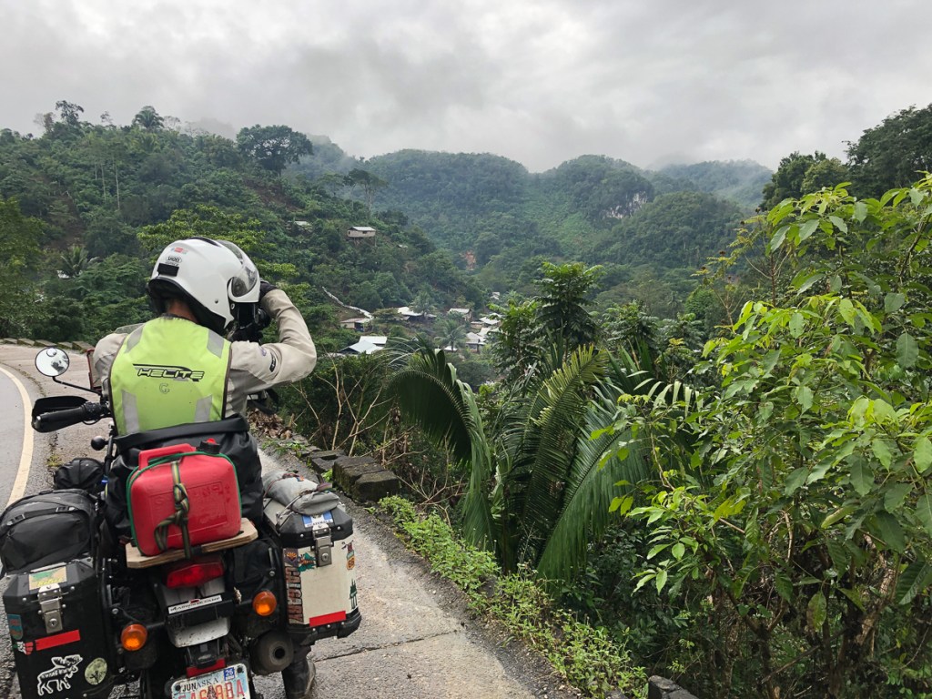
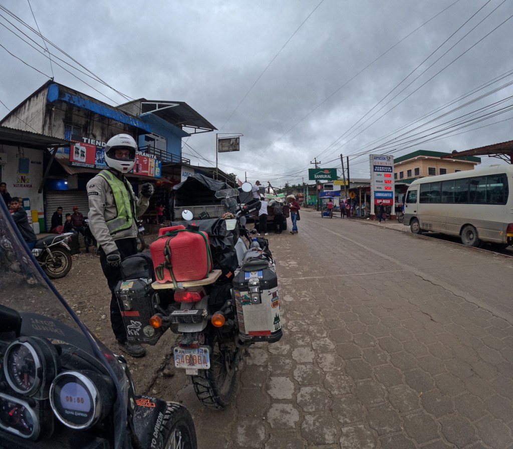
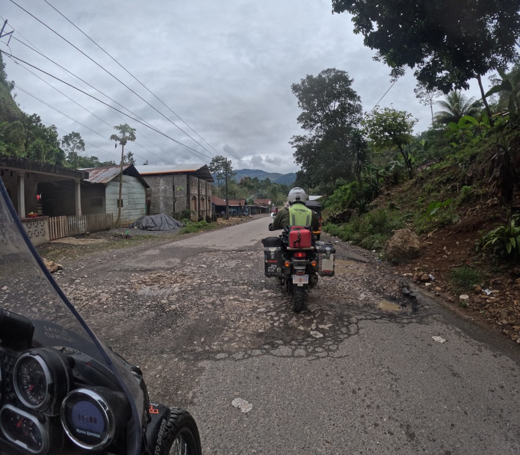
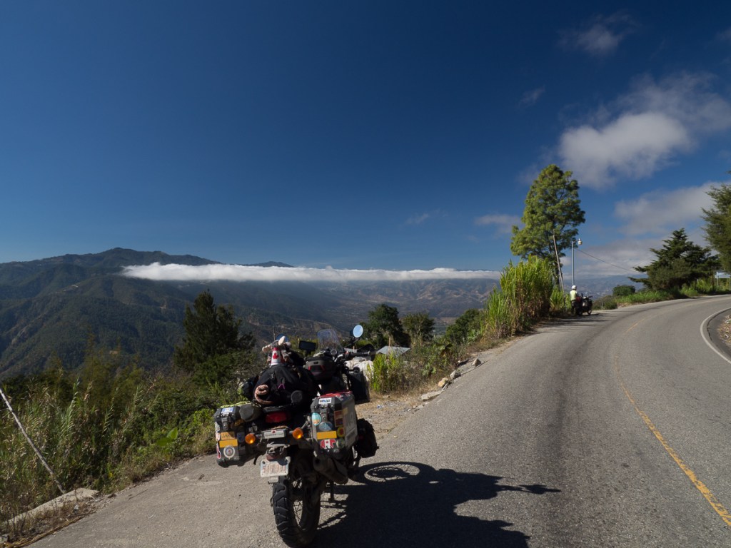
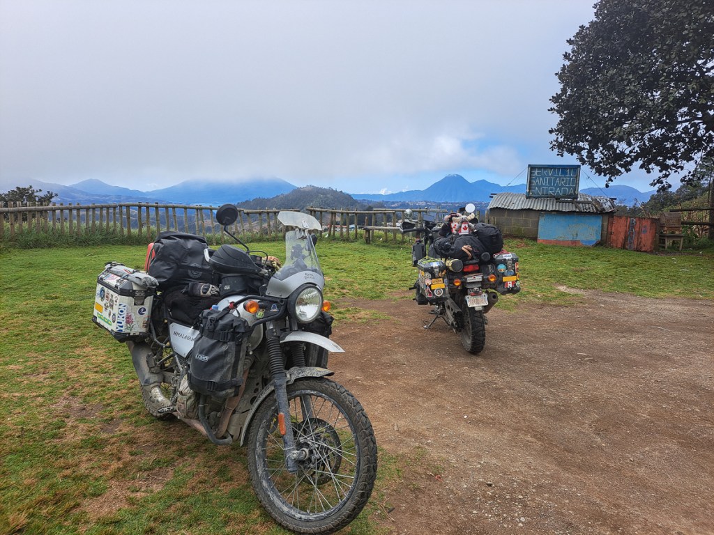
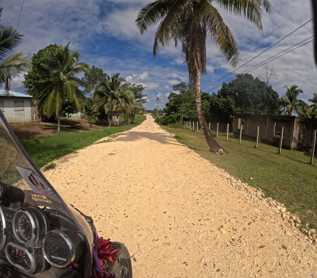
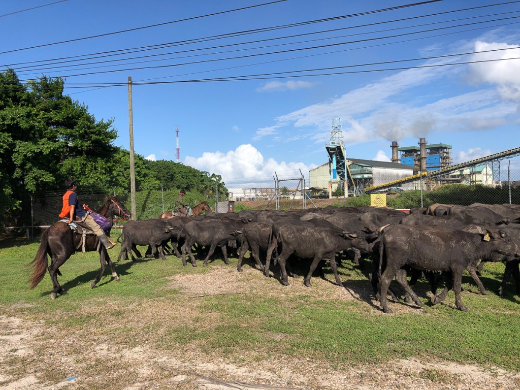
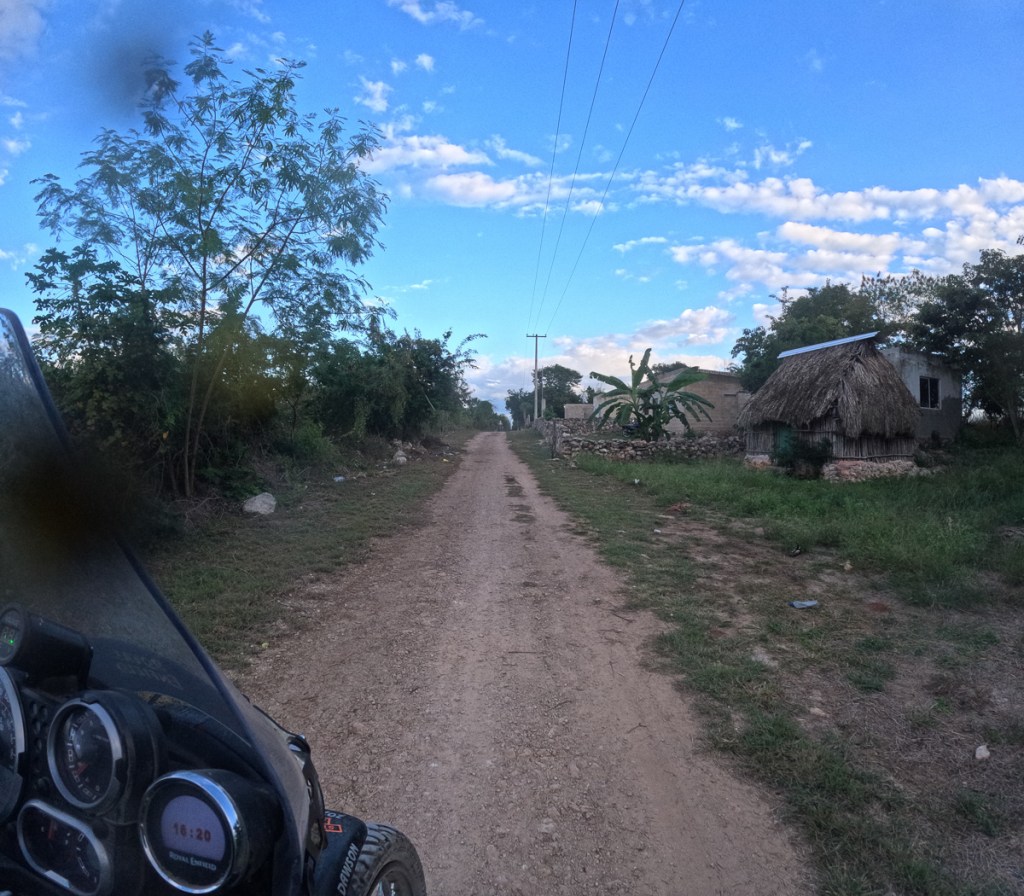
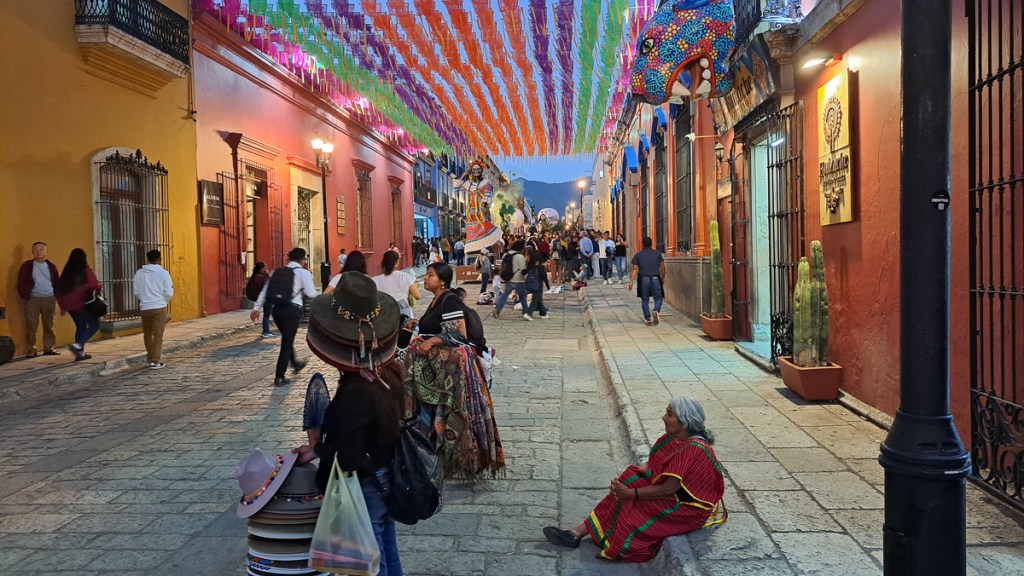
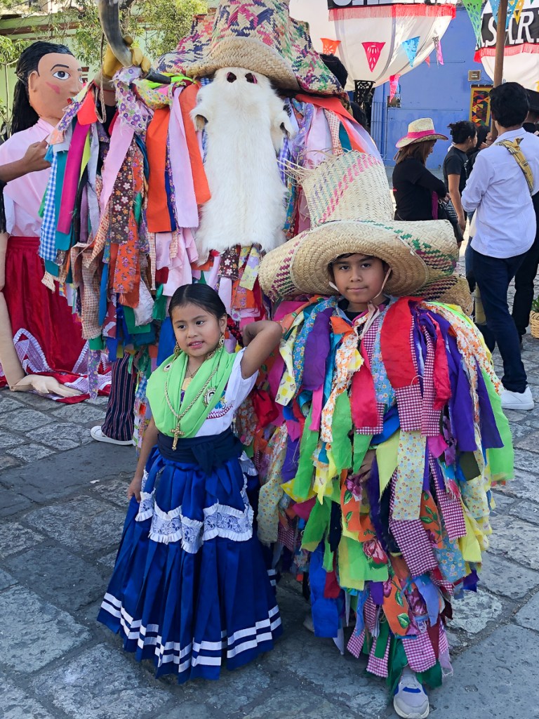
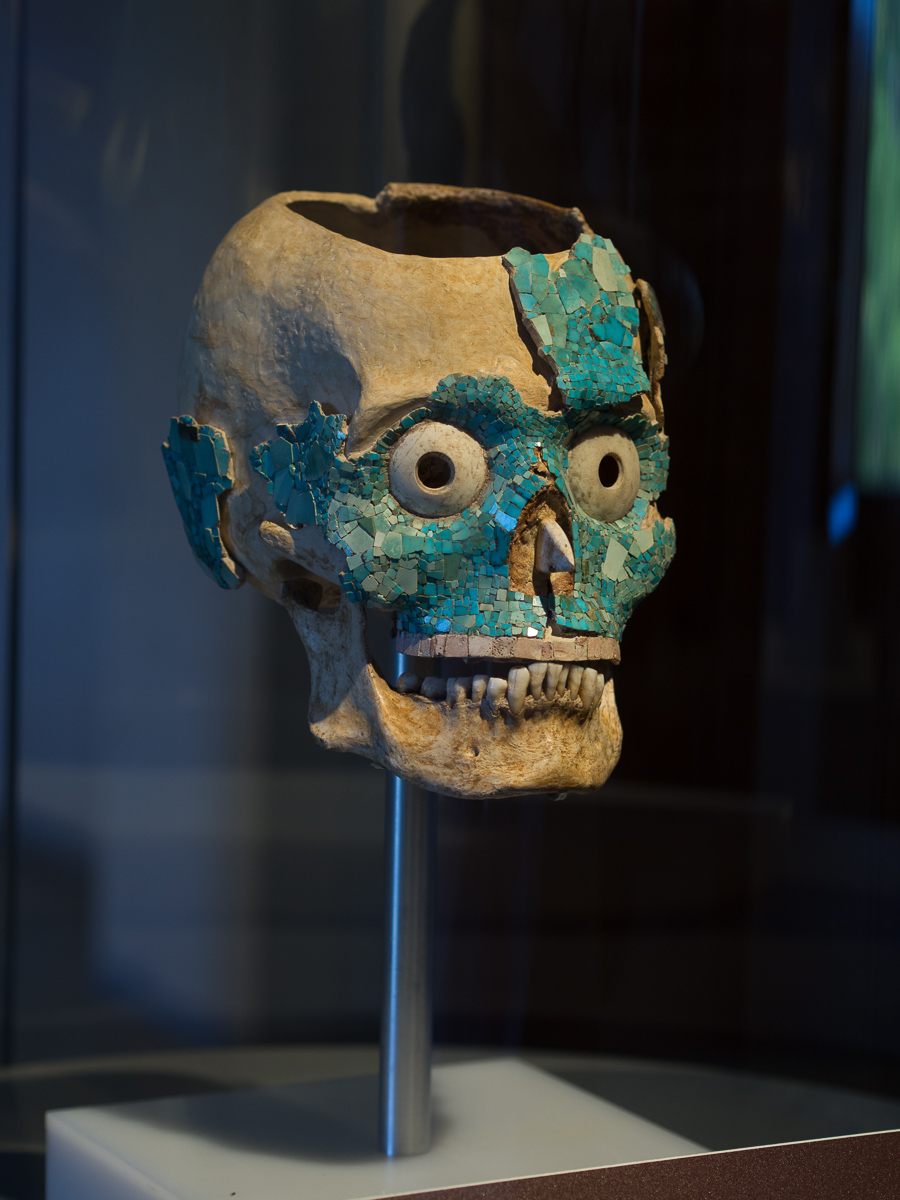
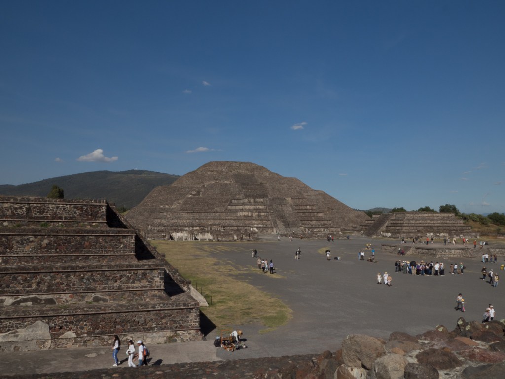
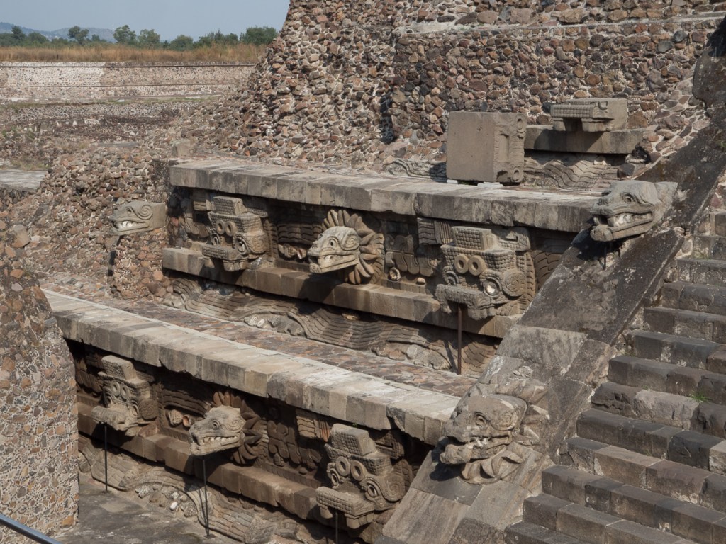
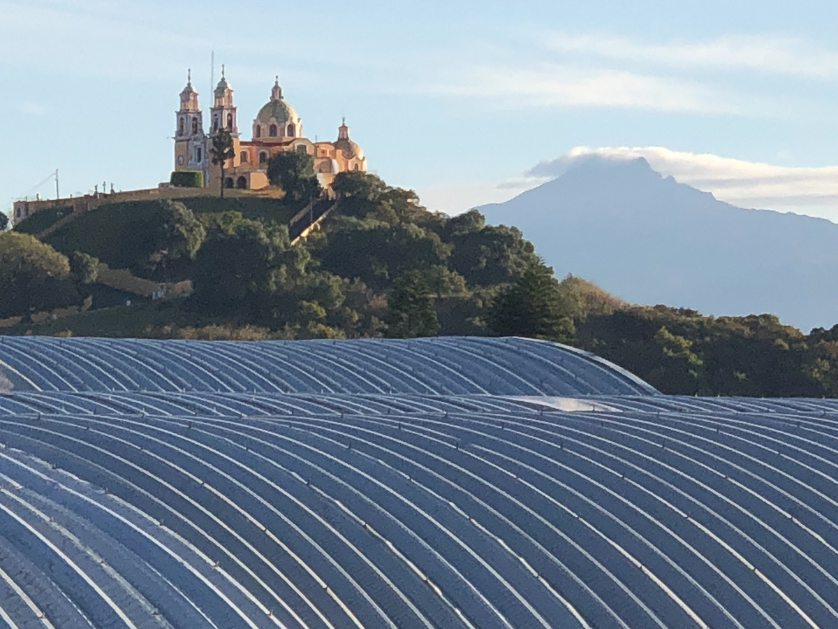
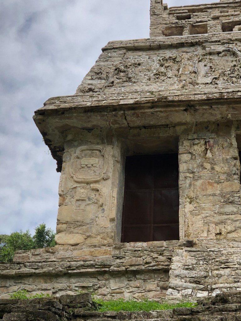
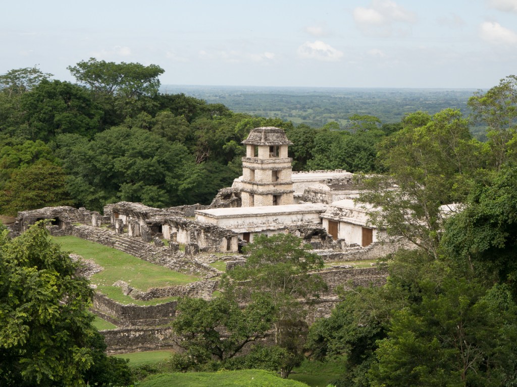
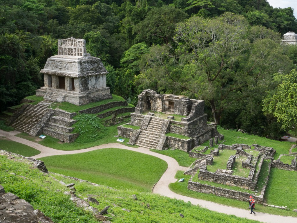
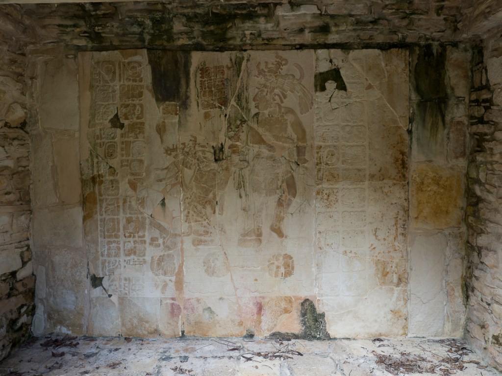
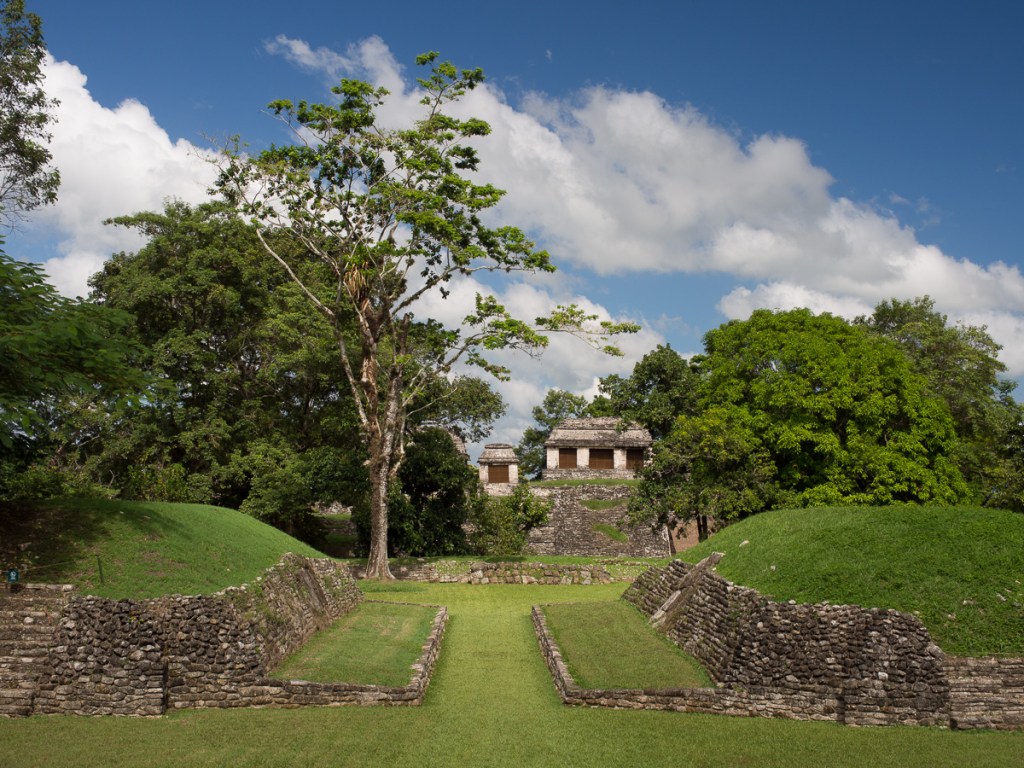
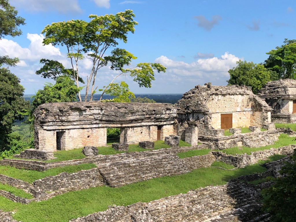
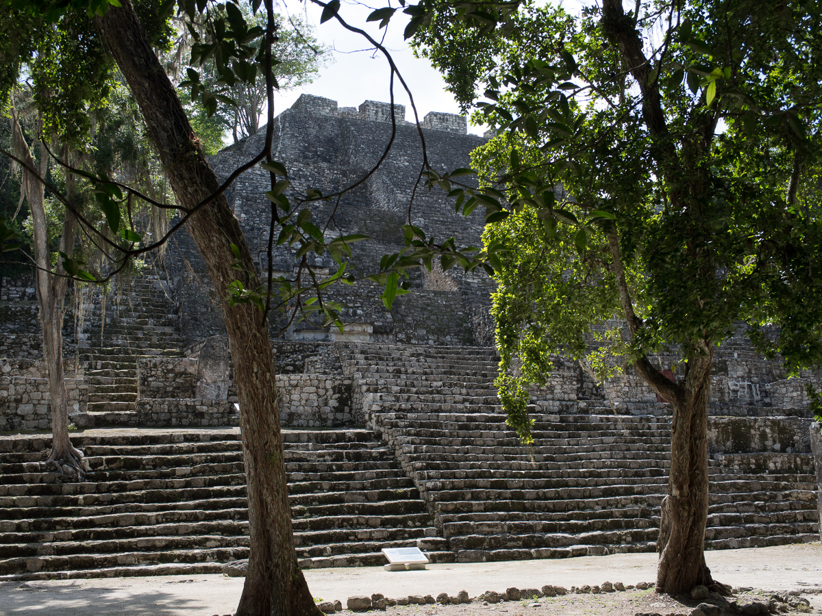
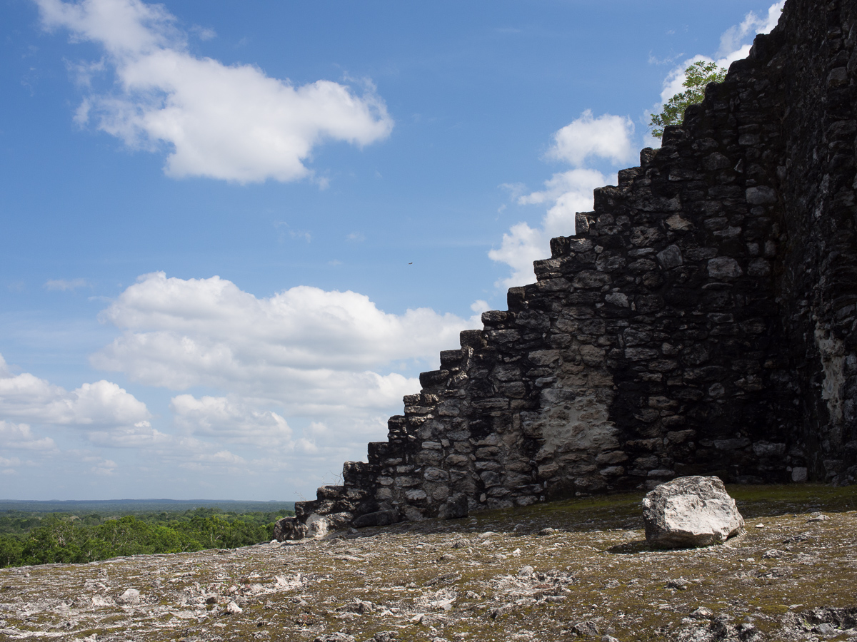
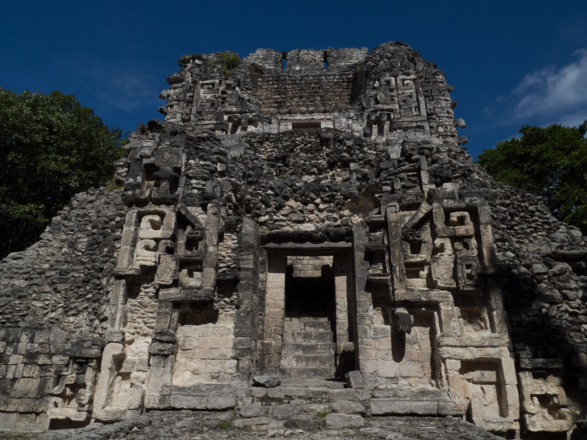
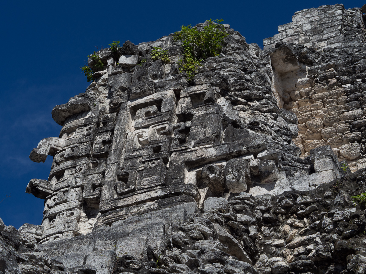
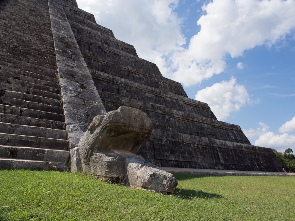
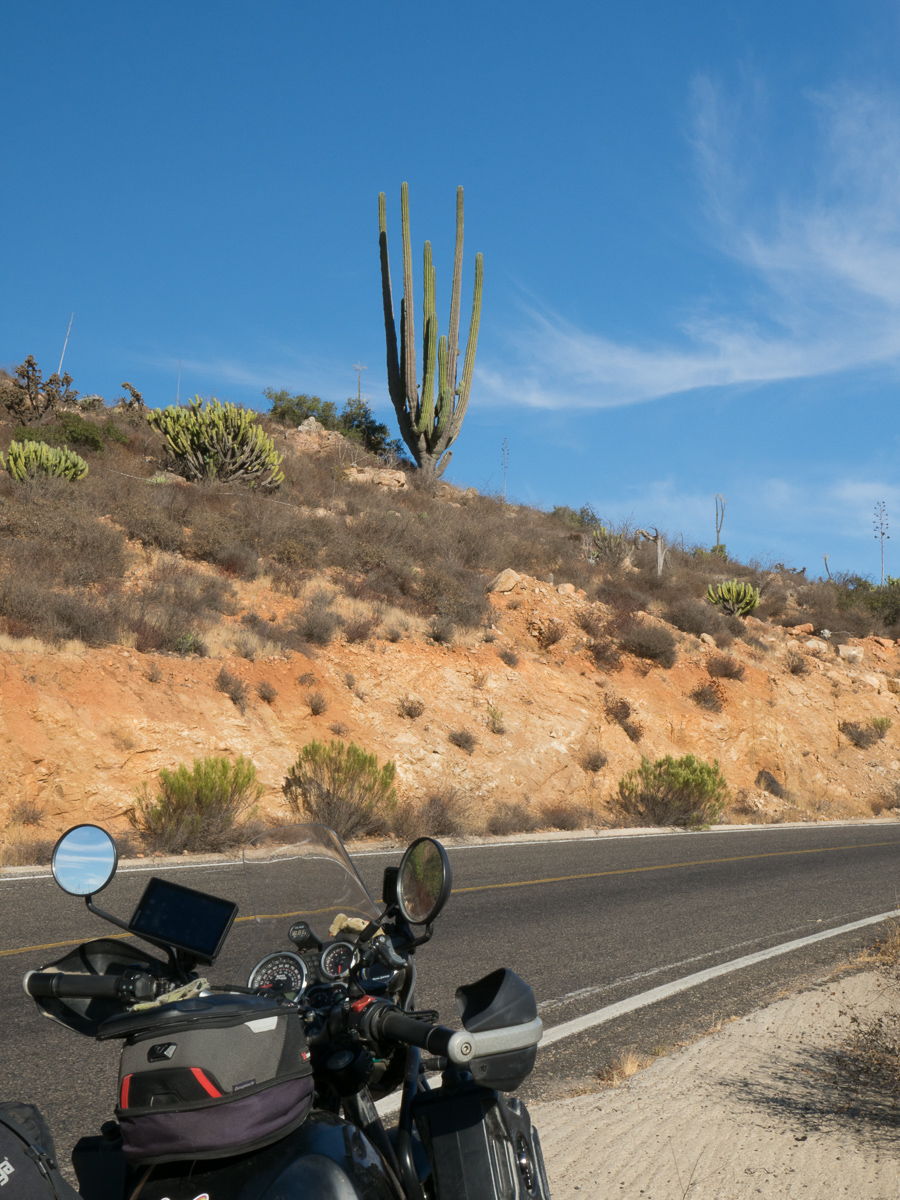
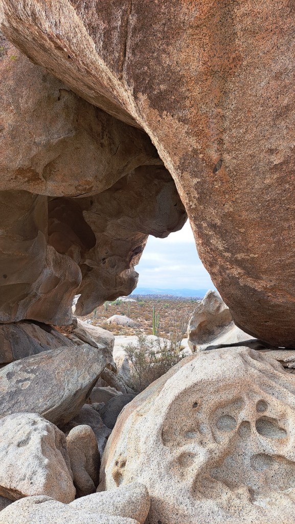
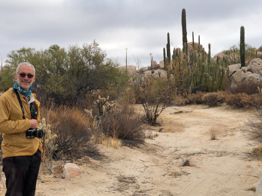
Speaking of navigation, for those family members unfamiliar with Guatemala (Map here), we entered the country in the little inhabited, jungly, north.  Flores is a scenic village on an island, in a lake, in the middle, and Quetzaltenango, Lago Antitlan, Antigua and Cuidad de Guatemala run from west to east along the spine of volcanoes that run about 75km north of the Pacific coast.  For the first time on our trip, we actually rode on “the” Pan American.  The carreterre was named on signs.  It runs along the north slope of the volcanoes, from Mexico in the NW, out to El Salvador/Honduras in the SE.  Most of Guatemala’s 18m population is in this southern part of the country.  In retrospect, it’s no surprise that the roads in the north are, err, quite adventurous.

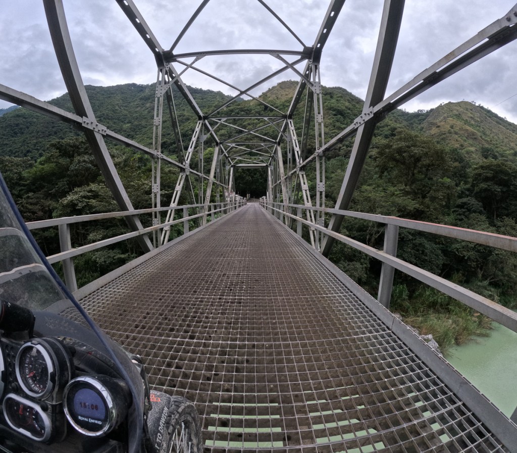
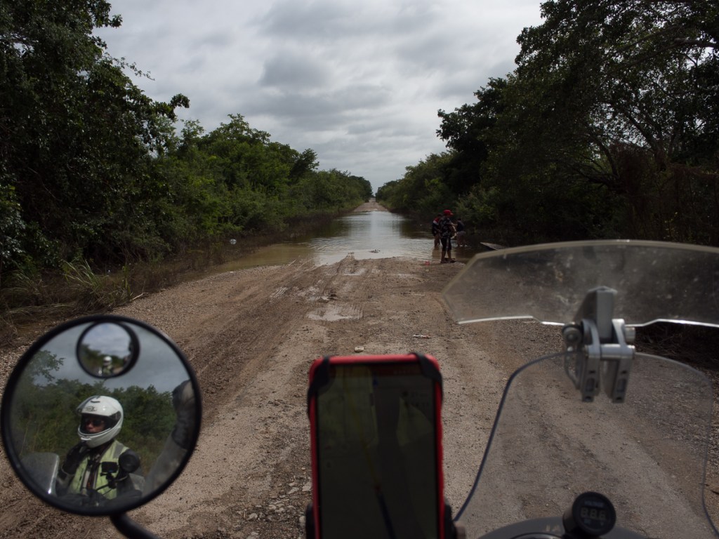
Clare: Heading from Flores down to Xela (Quetzaltenango) was quite eventful.  Gid had programmed in the destination and was informed that the 90 odd miles would take seven hours.  Cursing the lack of information on the map of Guatemala he assumed that the time required for the trip reflected the mountainous area we were coming into and was quite relieved when he realised he’d set the transport option to ‘boat’.  Boat wasn’t so far out.  We did wind our way up and down the mountains, the roads were quite little. It was at the bottom of one of them that our road ended at the river.  Approaching the tail end of the queue of cars Gid was on my left.  I could see the small wooden boat almost full of motorcycles starting to pull away from the shore whilst Gid was looking at the large nearly fully loaded car ferry.  ‘We can make it!’ he was saying, urging me forwards.  Noticing that the little wooden boat was indeed returning for us I gingerly progressed down the muddy sloping bank none too sure about the prospect of boarding it.  Gid, still focused on the car ferry, hadn’t a clue where I was going.   ‘The ferry,’ he was saying ,’the ferry!’.  Well if that’s what you call it I’m on my way I thought.  I stopped 2/3 of the way down none too sure about what I was committing to.  Gid by now could see the little wooden boat and was horrified with where I was heading.  ‘The Car Ferry!’ he shouted.  Too late, half way down a wet muddy bank I couldn’t turn round now.  I decided I was going for it, took a deep breath and was internalising  ‘Give it some throttle over the metal grid, over the lip at the edge of the boat, then brake hard before I hit everyone else.’  The theory was great.  I managed it.  I shuffled forward to make room for Gid knowing he would follow.   Bless him, he did. The crossing was brief, but about halfway across one of us realised that the boat – floored with loose, gappy, planks – only had a ramp at one end. Sure enough, the local riders, clad in jeans and tees, had all swivelled their 100Kg motos around on the side stand. Oh shit! A loaded Him weighs about 250Kg. Everyone was delayed while we sweated our steeds through 25-point turns wearing All-The-Gear-All-The-Time.

Later that day we still had to reach a sensible place to stop as our actual destination was several hours away.  We made the decision to find somewhere to stop at about 3 pm.  Plenty of time.  The first town we entered didn’t have accommodation with off road parking and it was still early so on we went.  By 5:30, and aware that it would be getting dark soon, we were still looking.  Just a bit further up the road towards the next town Gid was saying.  It sounded promising but an unexpected diversion we were meant to take was blocked off.  In amongst a deluge of swearing Gid shouted “next left”.

‘Have you seen it!  You are kidding!’ I replied.

‘Well, it’s got to be one of these, it’s a short cut back to the main road,’ he said, urging me on.

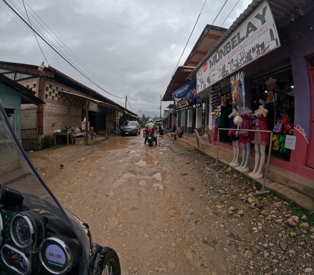
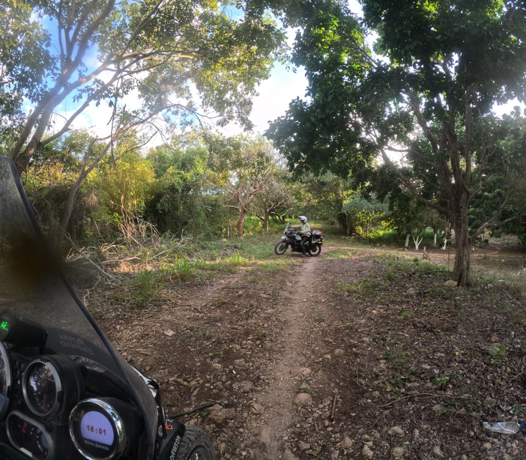
We took next left.  From the start it was a pretty rough narrow lane.  ‘It’s no worse than Mill Lane,’ he assured me, the rough track to our home in the UK.  After 10 mins of up and down past houses and homesteads we were about to reach the main road Gid declared.  Fast acceleration got us up the next sharp incline but no-one in their wildest dreams could call it a main road.  We had an ariel view over the valley of widely spread dirt lanes interspersed with houses and smallholdings.  The stone strewn, rutted dirt track under our wheels continued who knew where.  We turned back.

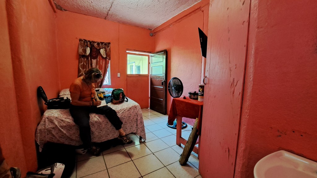
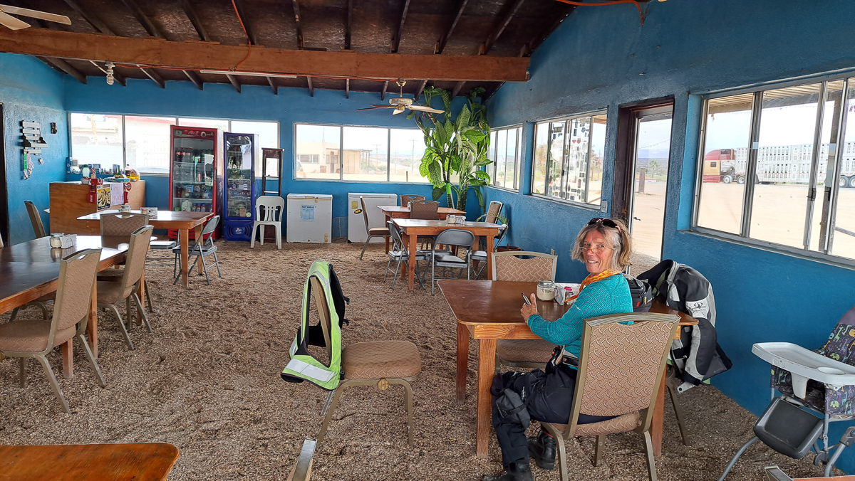
Thankfully, approaching the nearest town from the other direction enabled us to see a hotel sign.  It had a gated entrance, always a requirement.  In we went.

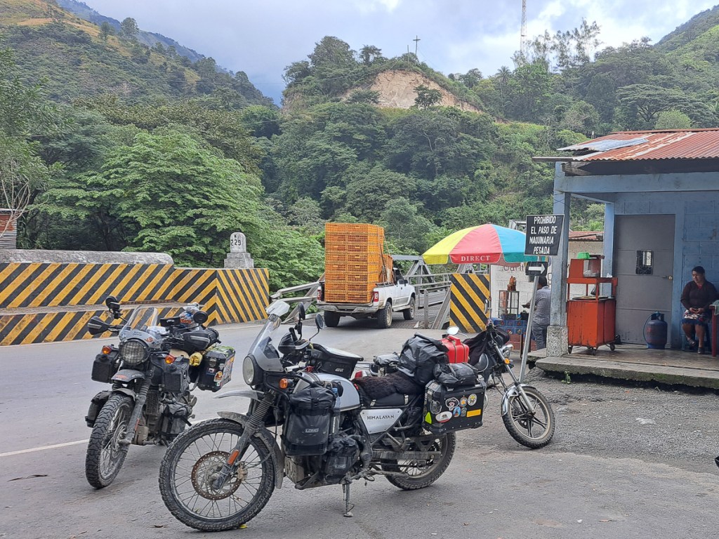
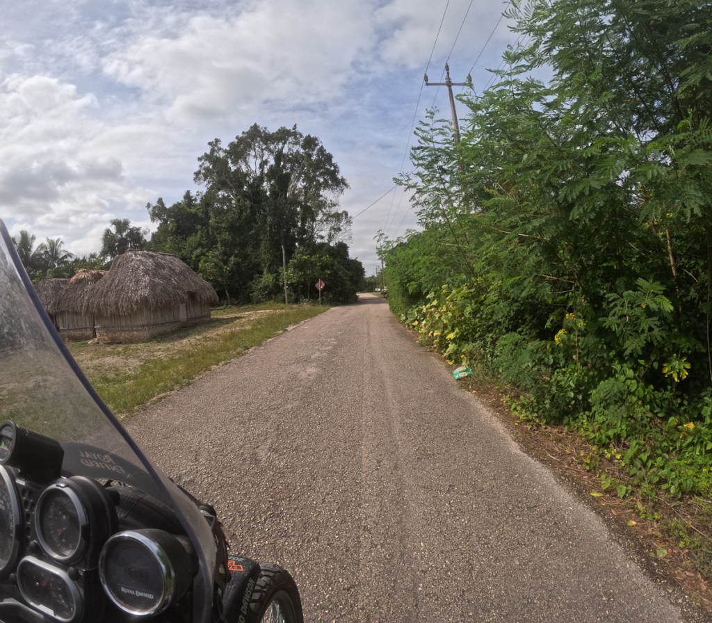
The following morning we had another look at the map and navigation.  There didn’t seem to be any reason why OSMAnd had directed us off the main road.  The “shortcut” looked ludicrous when we could sit and study it.  Gid figured that perhaps the OSM data for the main road had a tiny break in it, or 5 metres of dirt road, so OSMAnd would not route it unless it was allowed to use all the dirt roads (we’ve seen this before, but then the Garmin was working and happy to make sensible compromises). Determined to stay on the main road we set off.  It wasn’t long before the surface deteriorated.  We had patches of broken road, stretches of gravel and the odd bit of sand.  So much so that when we came to a dirt road that was a legitimate short cut we decided to take it.  It started off fine and generally was but had some interesting sections of hairpins, gravel, rivulets and ruts.  We made our way down the mountain side across the bridge and up the other side.  Nearing the top we thought we had made it and were quite surprised to see the road ahead blocked.  A policeman directed us to his left waving his arm in a snake like fashion to show the direction of the road.  A dust trail to his left confirmed the direction of the road and that other road users were on it.  It was clearly a single track lane with very poor visibility because of the dust flying up.  We set off not knowing how long this diversion was or what traffic we might meet.

We reached a steep hill and approached it behind a 125 that had come careering past.  It whizzed up.  Dust flying.  Gid was right behind it.  ‘1st gear, 1st gear, ‘ he was calling back to me. ‘And plenty of throttle.’   No one was getting up that hill without plenty of throttle but what was about to come down?  Thankfully, shortly afterwards we reached to end of the diversion.  The poorly surfaced concrete road seemed awesome. 

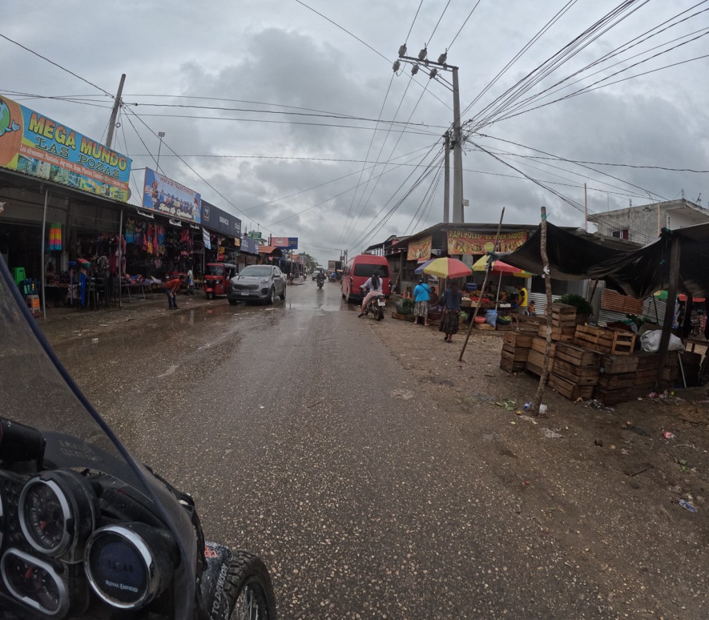
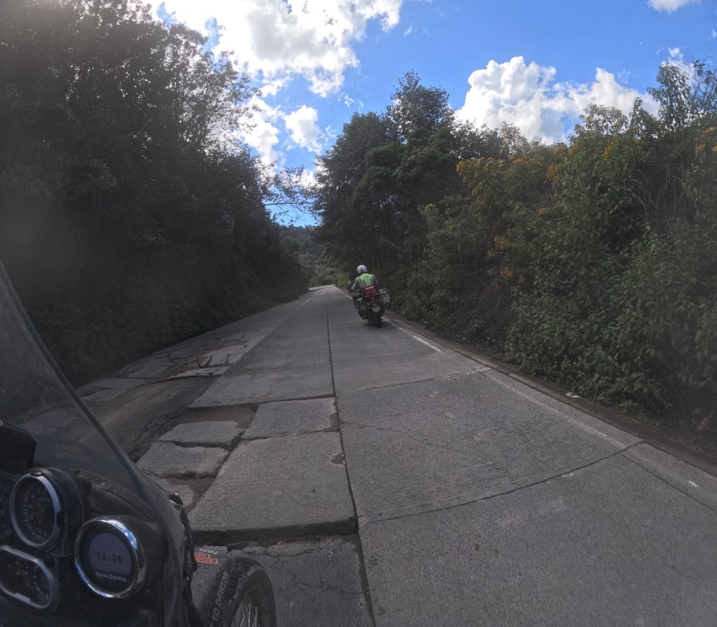
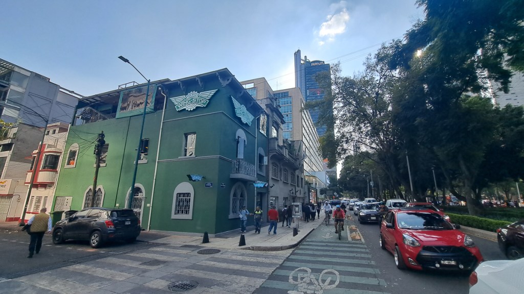
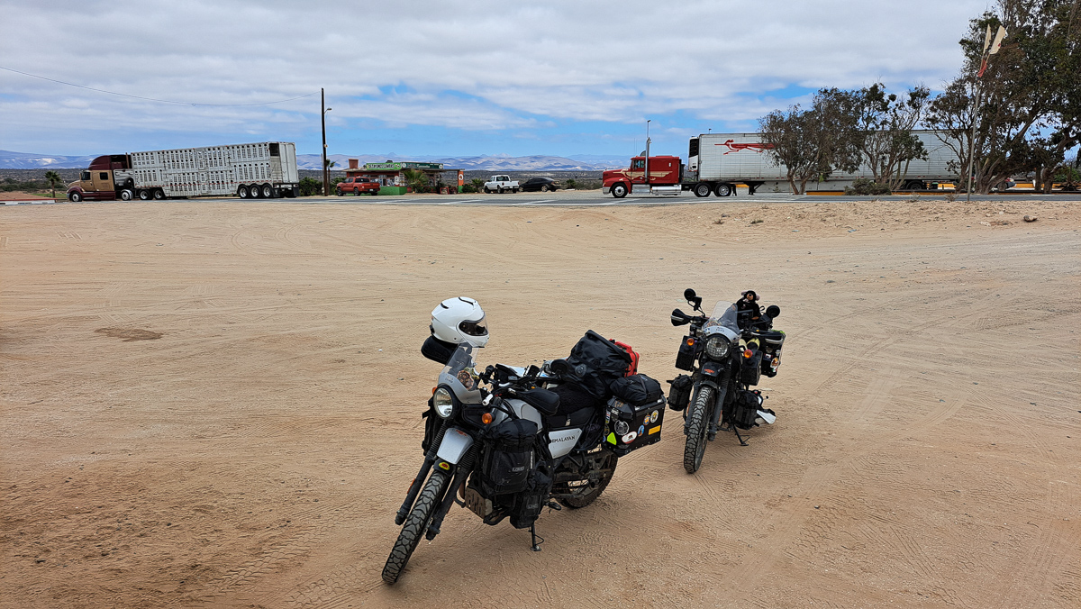
Heading further south in Guatemala we were back on surfaced roads.  Belize had offered a respite from Mexico’s endless tupes/speed bumps, but in Guatemala they were back with vengeance.  Some are quite brutal – Gid has scraped his bash guard on a number of occasions, and now takes most of them standing.

On the other hand, bikes are a lot quicker across them than anything with three wheels or more.  Both us and the local riders get a lot of (slow) overtakes in at the speed bumps especially when they’re one of the few places the chicken buses slow down. Oddly enough, later, in Cuidad de Guatemala where there aren’t speed bumps, we’ve seen quite a few Porsches (I mean real ones, not repackaged Touaregs) – they and similar low vehicles must be pretty much confined in city limits – odd.

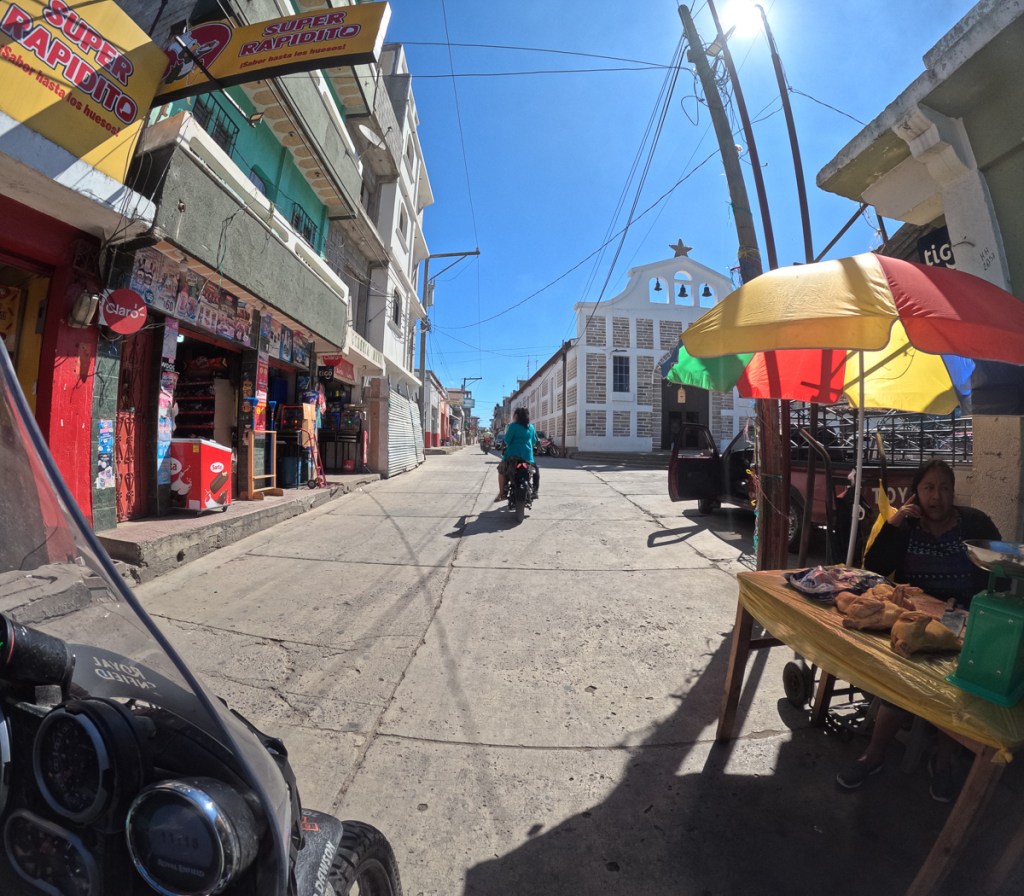
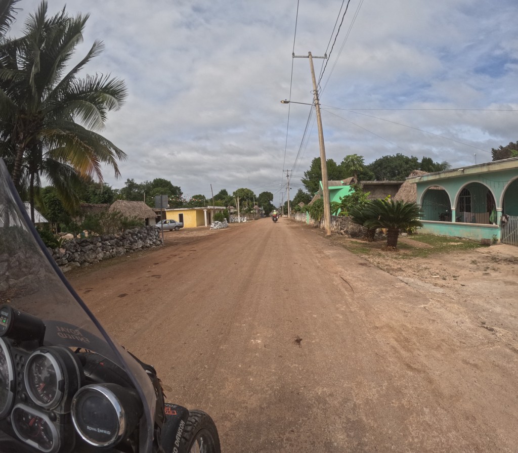
Reaching our destination, Xela, was also interesting riding as in the old town where we were staying it has a great grid of calles and avenidas cobbled with pretty much random rocks.  They’re ok at speed, but stuck behind crawling traffic, the bike’s front wheel swerves all over the place. As the streets are so narrow, it’s an irregular grid of one ways, making navigation tricky, and distances much longer than the map suggests.

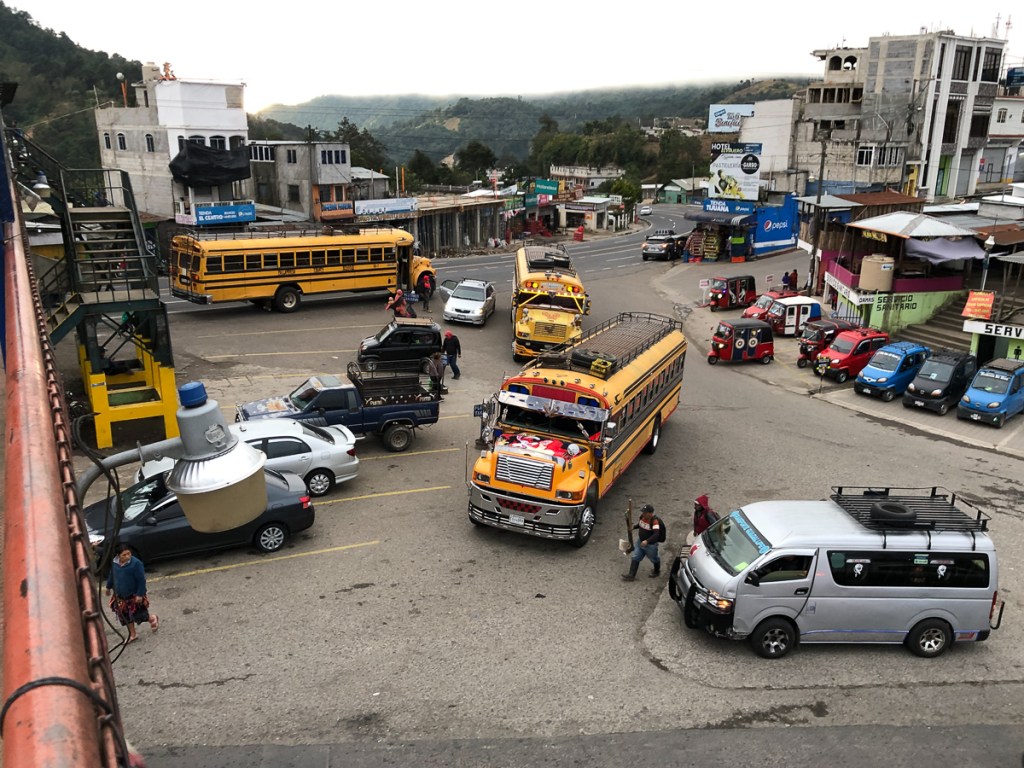
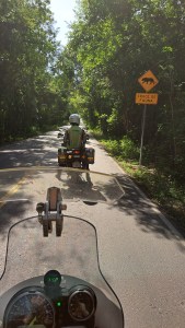
It must have been around this time that we started seeing tuktuks. I don’t think there’s a factory nearby, I think they’re all imported from India. For some reason, they’re almost all red. They seem to thrive in mountain villages, or pueblos & cuidades with tiny streets. They’re geared to labour up any mountainside, but with only half the Himalayan’s engine, and six people aboard, boy, they can be slow.  They must be alarming to drive around downhill hairpins, too.

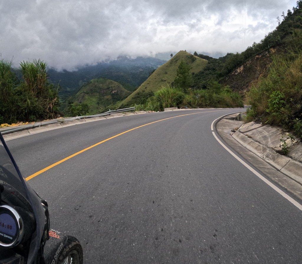
To reach San Pedro on Lago Aititlan from Xela, we turned south-east, aligning us with Guatemala’s volcanic spine. So we encountered the actual Pan American Carretera. Woohooohoo! Here, it’s a mostly well-surfaced dual carriageway. Not, normally, the Himalayan’s favourite domain. But this road corkscrews its way up, down and around the volcanic slopes, and almost all the wiggles are blind, so few folk dare exceed 50mph/80kph even if their vehicle can do so (and many here can’t). The Himis were fine, although a little more overtaking ooomph, or even a lot more, would be appreciated. Still, we tried to exercise restraint: Altogether now: “Drive at a speed that will allow you to stop well within the distance you can see to be clear” (UK HC Rule 126).

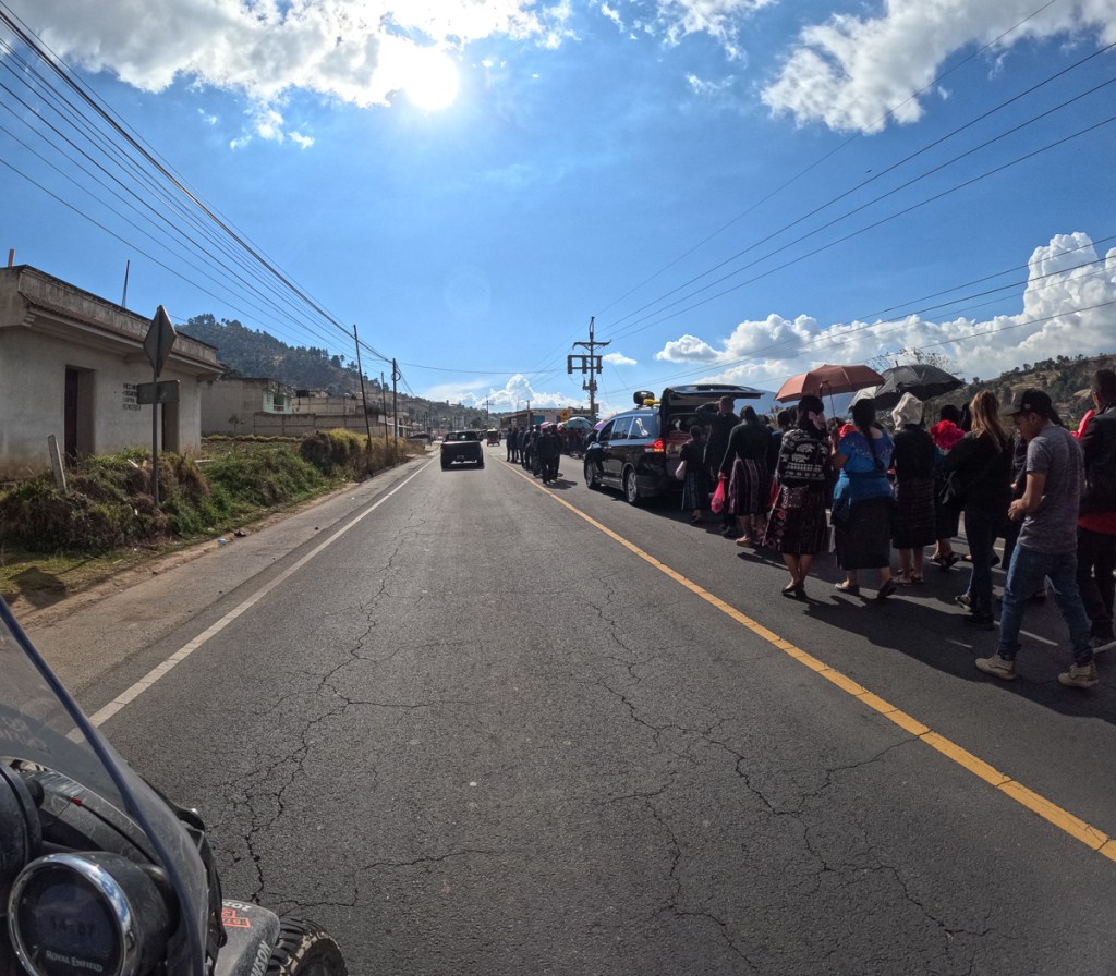
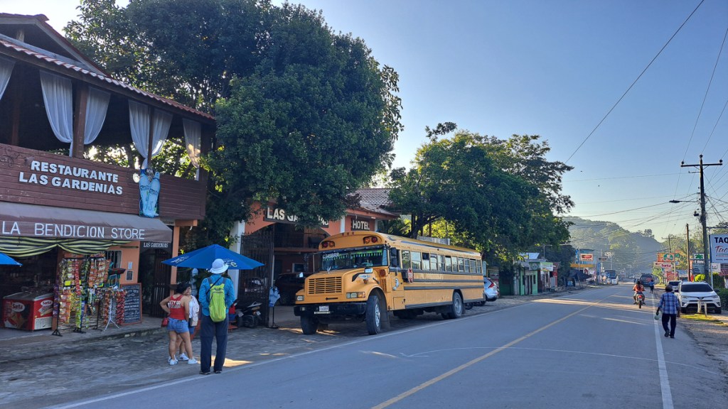
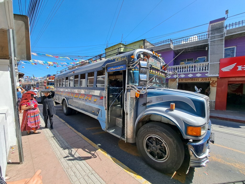
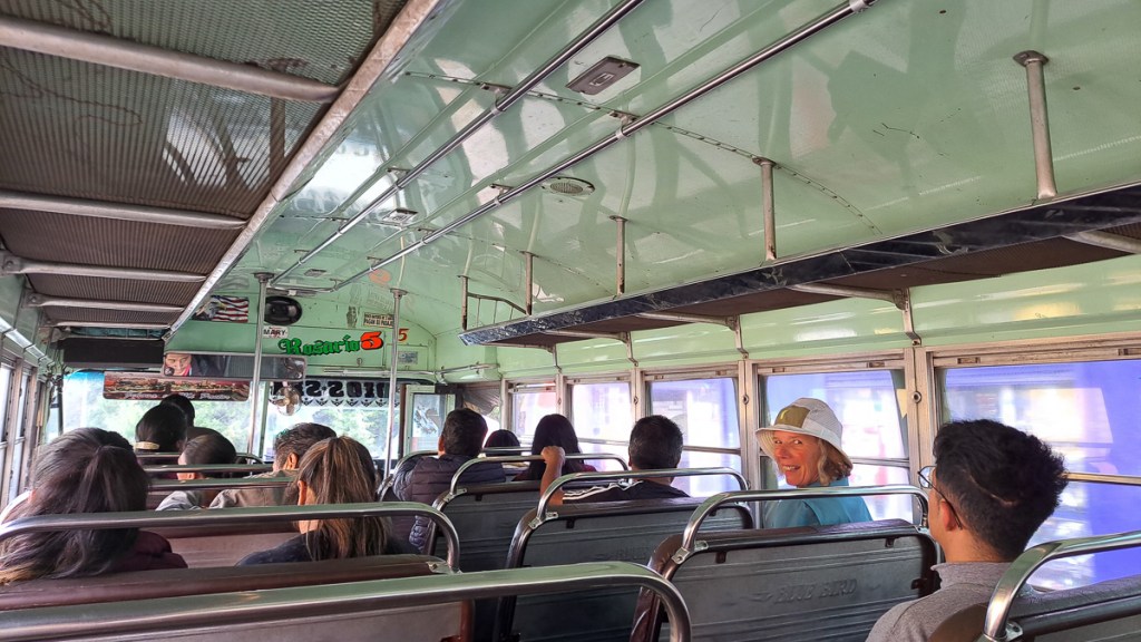
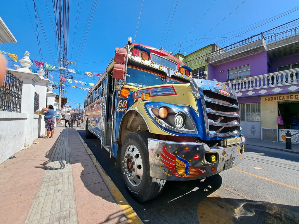
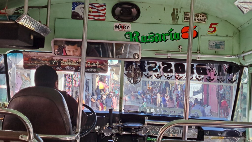
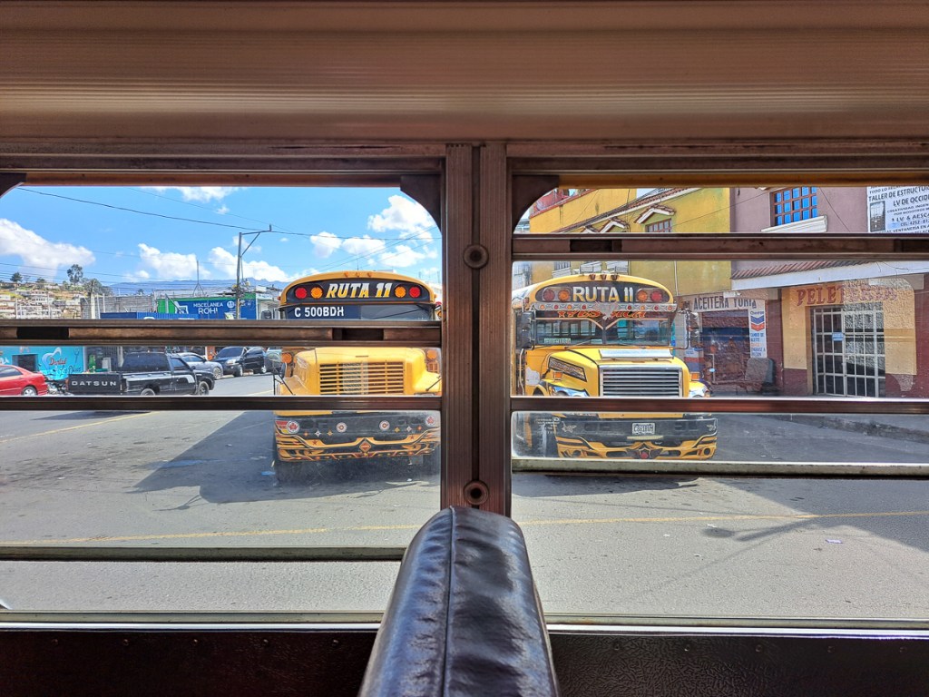
Occasionally we’d be passed, sometimes by a chicken bus – these often belching clouds of black muck from a primitive, or maladjusted (depending on age) diesel engine. USA school buses are tightly regulated, and it seems have to be retired at quite modest mileages and ages. So, like a fair few human retirees, they head south in fleets, and live to a great old age as chicken buses. Often these are brightly decorated, usually they have powerful horns, to blast traffic and alert potential customers. The drivers are not necessarily the most cautious and safety aware of señores, although not remotely in the homicidally obnoxious league of their Indian and Indonesian colleagues (or Aussie truck drivers). So they do tend to hurtle around the bends – after all, the driver saw no obstacle there 2 hours ago, so there can’t be one now, can there? We saw the aftermath of one apparent head-on between a bus and something smaller… the bus seemed to be facing the wrong way at that point. Looked like it’d need a new cab.

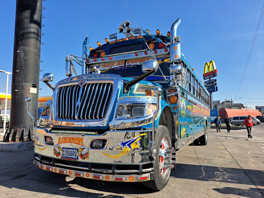
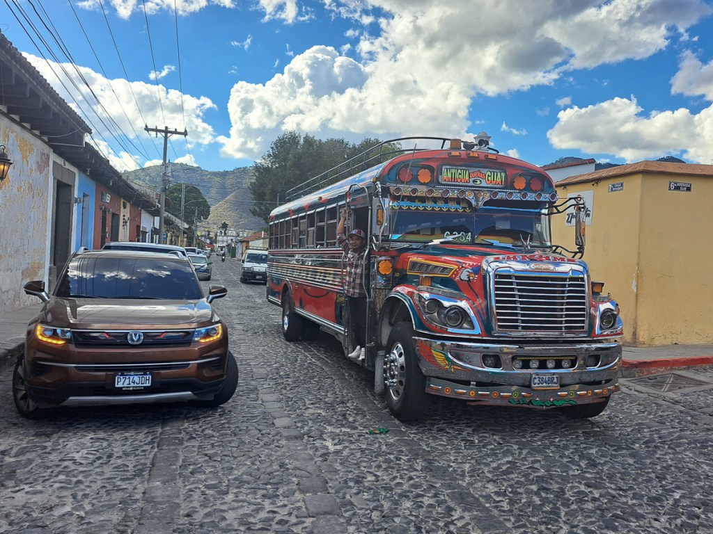
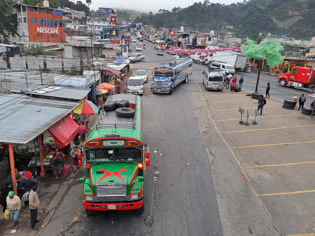
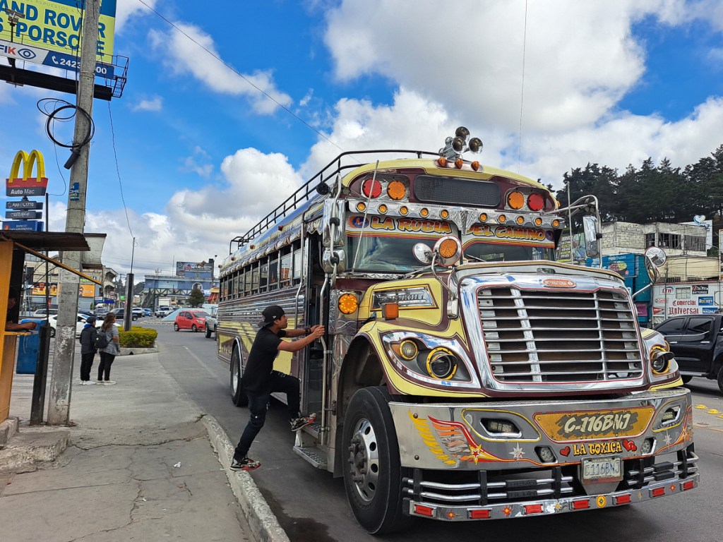
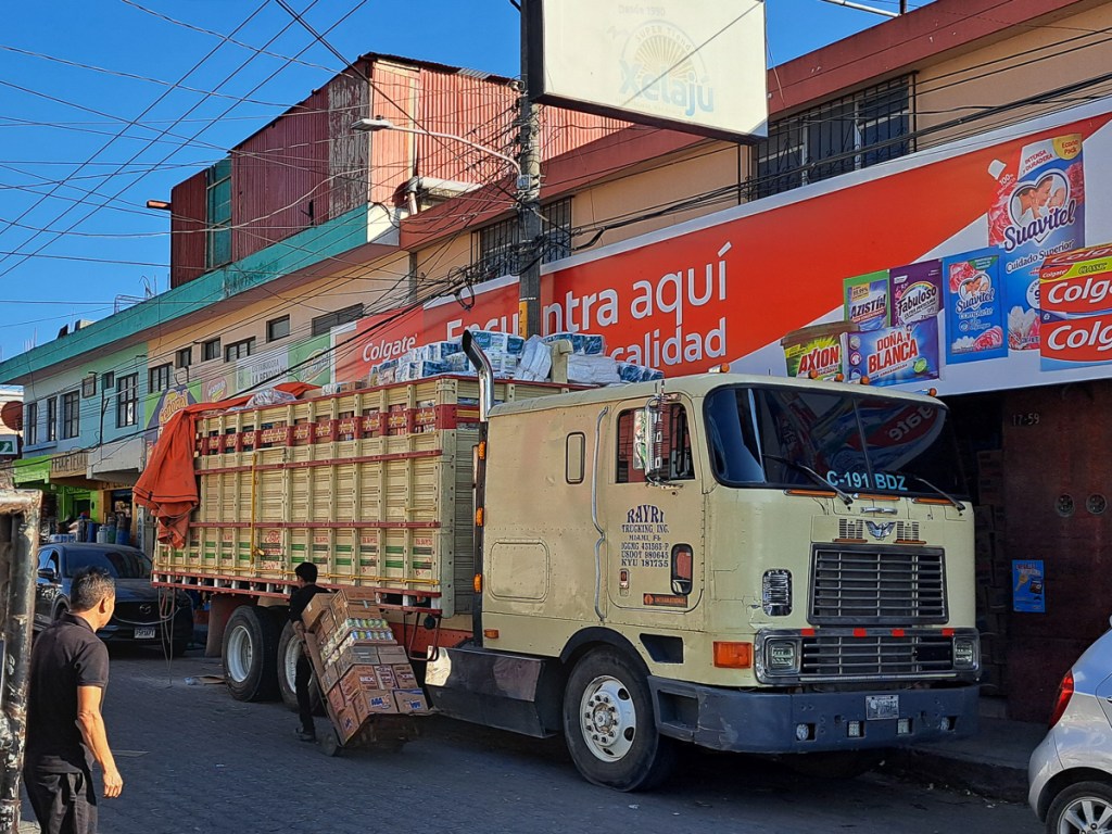
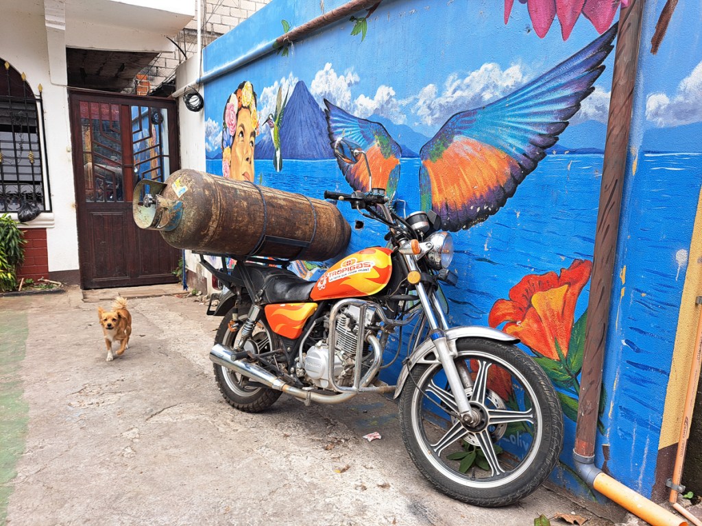
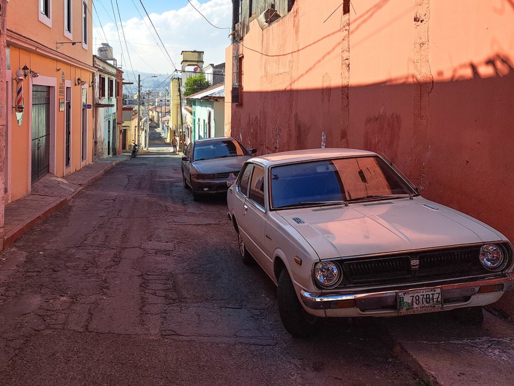
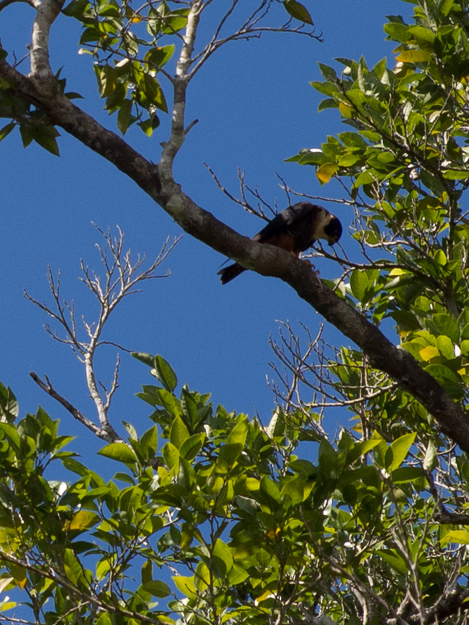
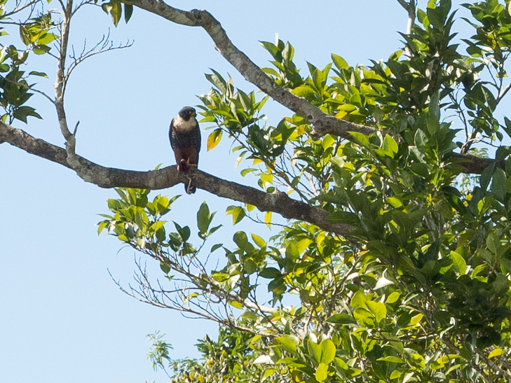
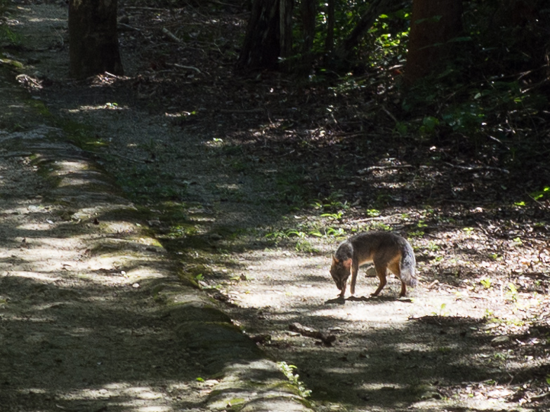
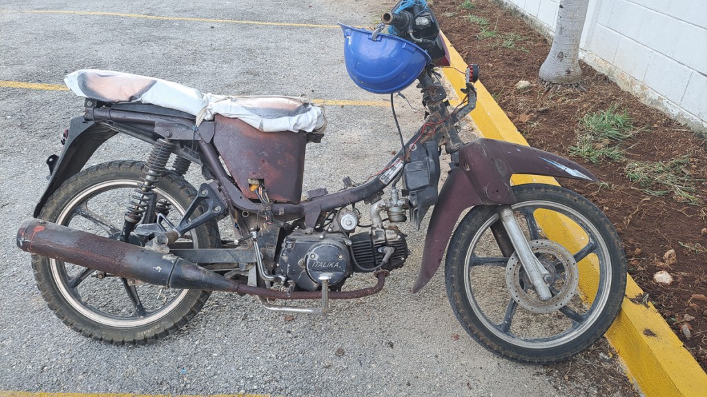
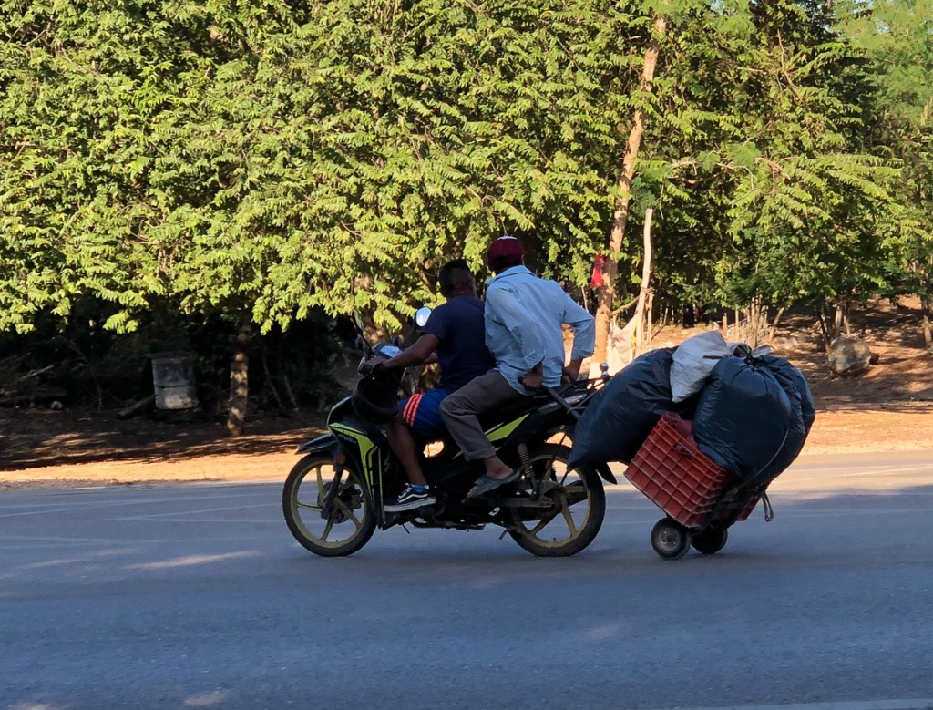
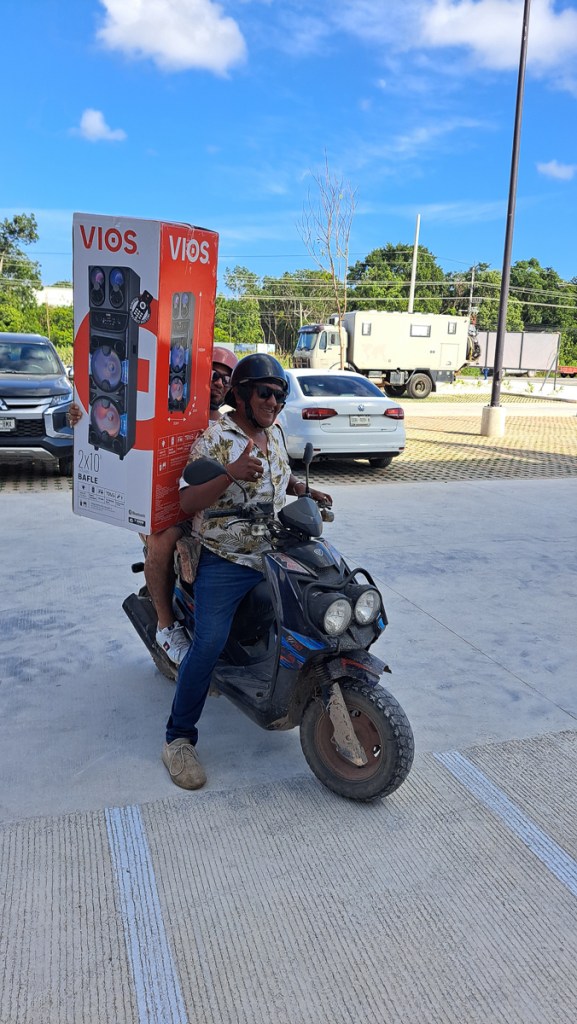
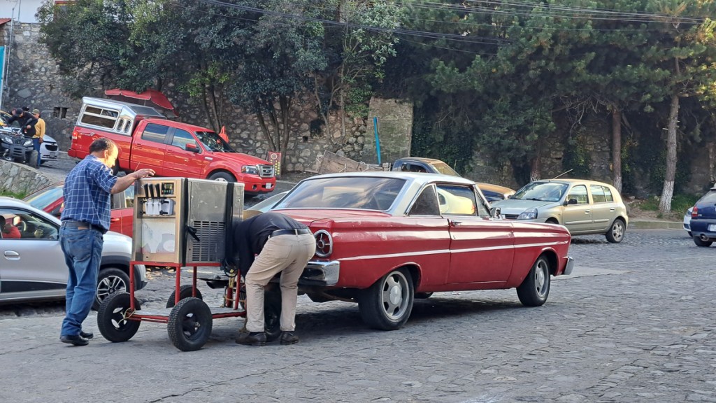
Finally, a few snaps of curios encountered on the roads. If you’re into 70s/80s car and truck nostalgia, or radically optimised loading, there’s plenty to entertain on Guatemala’s roads.

Postscript: Sadly, a week after posting this, 55 people were killed in Guatemala when a chicken bus crashed, and a few days before that, nearly as many died in a bus accident in Mexico. On our way back from our volcano hike at Antigua, our shuttle passed a fatal motorcycle accident, the poor fellow still lying in the middle of the road.

Belize

Belize, our route map shows, has been another case of zigging and zagging about. We didn’t need to come here at all, as it doesn’t span Central America’s skinny land mass. One can pass from Mexico directly into Guatemala. But it’s an interesting place, so of course, we were curious. We dropped in from Mexico, right at the top of the country.

It’s a small country, so it’s possible to go from North to South Belize in a (long) day.  We’d rushed past the fishing village just across the border on the east coast and before we knew it we were a third of the way down the country at the baboon sanctuary.  The baboons – actually yucatan black howler monkeys – were fabulous.  We were barely in the forest before we heard and saw them. Our guide was our first Garifuna encounter, all laid back and charm, in r e a l l y s l o w English, and creole with his mates. For indeed, Belize used to be British Honduras, and the official language is English.

From there we were at the north-west regional hub of San Ignacio – and the “ATM”. ATM is at the top on all of the must see lists.  It’s not the Automatic Teller Machine or Another Tourist Missing but the Actun Tunichil Muknal cave.  Having been there I can see why it’s number one.  It’s stunning!  Our tour guide was ex-military but once we’d got over the ‘I’m here to look after you.  If I give you an instruction please will you follow it’ – shouted to the petit oriental young lady at the front of our group.  On the first of our river crossings to get to the cave she had failed to release the safety rope and float away down the river to a different landing site when Patrick had shouted the command.  The water was chest high on us and had a fair flow so she was probably rather insecure with the idea of letting go of the safety line prematurely.  We soon learnt when Patrick shouted ‘jump’ we echoed ‘how high’.

After the initial blip Patrick proved to be a very nice guy.  He was very knowledgeable about the jungle happily answering some tricky questions from our young undergraduate enthusiast.  Equally, we were soon to find out, he was very knowledgeable about the cave itself.  We crossed the river three times to reach the cave where I have to say, I was pleased to be wearing a buoyancy aid.  I’d quickly given up any hope of keeping my t-shirt dry to try to keep warm.  Once in the cave, having scaled the rocks and dropped down into deep water, we started our one hour wade, swim, clamber; at times making a human chain to get round a deep corner or to cross a deep section as the water gushed past.   We stopped a number of times to admire and investigate the rock formations created over centuries of water cascading down with layer upon layer of calcium carbonate leaving its track.  We finally reached the main attraction.  10 feet above our heads was the start of the massive cavern that had been used as a sacrificial site up until about 900AD.  We clambered up a very convenient rock with a supporting rope attached to it.  At this point we had to take off our shoes to try to minimise the damage made by aggressive footwear. 

We were in the ‘living’ museum.  This was not some mock up but the real thing.  Every thing we saw was as it had been used / left by the Mayans, the Belizeans having made a conscious decision not to excavate it.  Many areas were calcified showing that the water had coursed through this way leaving calcium deposits in its wake. In the 900 and more years since the Mayans were in here, some deposits had built up to a few inches thick, blurring and obscuring the thousands of broken sacrificial pots. The thickness of the deposits helps with dating the offerings, which generally, went deeper and deeper into the cave as time went on.  In a sub equatorial rain forest with 82 inches of rainfall a year there is never any shortage of rain water.  Well, except in about 900AD – climate change and drought are the leading theory for the demise of the southern Maya cities.

Seven skeletons were present, deep in the cave system. Some of the remains were in a heap where it is supposed that they had been washed down in the flow of water before being glued in place by calcification.  Each had been sacrificed.  Archaeologists tell us that towards the end of the greater Mayan society the rain fall was less reliable and there was a change in the sacrificial offerings, brought on, perhaps, by desperation.  Initially the skeletons were of older people but what is believed to be the last two are young males. This greater sacrifice was of young males was thought to be in an effort to please their gods who would they hoped provide more rain.  One boy, believed to be twelve is considered to have been bound up and left to die whilst not far away was the skeleton of a seventeen year old boy although he was laid out flat.

Unfortunately for us, cameras, phones and other lumps are forbidden following an accident where a camera was dropped on the 12 year old’s skeleton’s skull.  It now has a letterbox shape hole in it where the camera landed. Therefore we took no photos, except of Patrick selling Clare his patented old tyre sandals.

A brief diversion from the same base of San Ignacio, was the local Green Iguana Sanctuary. These have some endangerment so they’re captive bred there, then released. The Black Iguana, in contrast, is very common, and we saw them all over the place: The two on the log, actually in Belize Zoo, are sneaky visitors, not captives.

The Belizian roads are in a better condition than the Mexican roads.  Their speed bumps are better labelled and they seem to have three sorts.  One sort – a set of three narrow rumble strips you barely have to slow for and another a well marked smooth mound, then there’s single or double rows of metal domes that usually make the bike wriggle alarmingly.  They do have some potholes but nothing like the near total disintegration of the road that we frequently experienced in Mexico.  There are probably less roads as well as the population of Belize is quite small so perhaps less traffic.  Decent main roads and short distances made Belize pretty uneventful on the motorcycling front. Off the main routes it’s back to dirt roads but because of the recent flood in Mexico and the current heavy rainfall we’ve stayed off those.  The combination of rain and soft sandy mud, or slimy mud will make them pretty dodgy places to be on two wheels.

We’re back to the Caribbean coast for Christmas. We broke the journey to the beaches at Maya Centre where we took one guided night stroll and another guided day stroll in the Cockscomb jungle – nope, no jaguars. One frog, one turtle and two catfish is hardly an exciting haul but the red brocket deer in daylight was a pleasant surprise. Belize has made a point of having a lot of nature reserves, although they do mostly seem to be on land unsuitable for agribusiness type farming. But – revelation – here’s a chocolate making tour. Guess who dived straight in? We’re taken off to Narciso’s chocolate farm, where we learn about the fruit, and the beans, and the 6 day fermentation and 7 day drying. Then to the factory where they’ve been roasted. Robert directed the procedure: taste “nibs”, grind them, mix in the cane sugar (grows everywhere in Belize), and extra cocoa butter. Scraped into the mould, place in fridge for 5 mins. Eat. Very yummy! The chocolate drinks here are something else, too.

Beach village Hopkins, recommended by a number of people, is a vibrant colourful small town full of very friendly Caribbeans and wooden shacks.  People were happy to stop and chat, many with a cause or two that we should contribute towards.  One chap offering us magic mushrooms and a number of cannabis bars along the street might explain the very relaxed vibe to the place. Hopkins is presumably run by the ladies as the chaps all seem to be relaxing around their omnipresent beer bottles. 30 miles south on the coast is Placencia.  Wow is it different!  The road in is lined with concrete barricaded mansions interleaved with “plots” – prominent Private Keep Out warnings with For Sale banners and ‘gated’ developments available.  It’s a bit of paranoid “me-me-me” Florida dropped into the “hey man” Caribbean coast.  At the end of the peninsula is the main village of Placencia.  The village itself is back to colourful Caribbean settings but millionaire’s row has left its mark, it feels a bit phoney and fleecing compared to Hopkins, albeit in much better repair.  Our main beggar in Placencia wanted money for an eye operation, whereas his colleague in Hopkins claimed to be a shaman…

Belize is about the size of Wales, but only ~400,000 citizens inhabit it. Having been part, not of the Spanish Empire, but the British (a legitimisation of piracy and unrestrained logging), it speaks English, has yards, and miles. Interestingly, the Belizeans couldn’t say if the petrol was sold in US gallons, or Imperial, although Gregorio from Maya Centre reckoned the measures were short!  I went into a hardware/motor parts store to buy an M8 bolt for my pannier rack, but almost everything was in inches (I know not if Imperial or American SAE): Bizarre, indeed as they do have quite a few pre-90s American pickups and lorries which will be SAE, but 90% of their vehicles will be metric. They have Charles III as monarch, which led to some very odd conversations, so I’m not sure what they’re told about his role. Elizabeth II, pictured at around 1965 I think, still graces the banknotes and still seemed close to their hearts. And Philip, we were proudly told, visited them in 1985 and planted that tree.

The country is an ethnic melting pot. Whereas Mexico seemed mostly like a creamy soup of well, Mexicans, Belize is sort of ethnically lumpy stew, different peoples in different places or roles. Is this a result of Mexico being freed of external rule in 1821, but Belize’s being in the British Empire well into my lifetime? It seems the Mayans dominate the southern countryside, putting them in charge of the jungle and the important chocolate supply. The (germanic, white) Menonites often stay quietly on their large farms, and do most of the food and deforestation. The garifuna dominate the coast, catching fish, tourists, and the odd beer or splif. The numerous north American expats like secure gates, big houses, “private” signs, and, naturally, F150 pickups; they run a lot of the tourism businesses, stating their prices in US dollars, not always clearly so, and much the same prices as US prices too (perhaps to pay for their USA medical insurance?). Whereas greengrocers and restaurants are often Spanish, every large village has are two or three medium-sized supermarkets, selling the same broad selection of goods, and always, it seems, run by merchants of Cantonese descent. I’ve probably missed someone out – Wikipedia has more detail and yet more. They all seem to get along just fine. Belize is officially English speaking, but as a tourist, it would be helpful to know the Spanish, Creole and Cantonese for “shall I charge the tourist double?”, although the north Americans charge most of all, and then you realise it’s in US not Belizean dollars, a fixed 1:2 rate doubling it again.

Southern seaside village Placencia was our Christmas break choice.  Snorkelling was on the plan but we didn’t know much more about it.  We planned a four night stop in the backpackers hostel, hoping it would be a lively community over the Christmas break.  When we arrived it was only us; a few more travellers did turn up, but it stayed pretty quiet.  Mark and Sheila, the owners, were very helpful and pleasant but we couldn’t help notice the For Sale sign as we came in.  The nearly new hostel is three miles out of town so we’re wondering if it’s too far out for backpackers who frequently occupy hostels but have no transport (although the hostel has bikes and the buses are cheap).  The village itself seemed to have plenty of tourists on Christmas breaks. The dive centre had space tomorrow, 24th Dec., but that’s it until 2nd Jan.  We booked up for tomorrow.

Kitted out we set off and were told it would take an hour to reach the coral destination.  The sea was flat so we zoomed along with little discomfort.  Our snorkel guide explained the ropes.  We were going to circumnavigate the little island.  He would narrate and had a pointy stick to draw our attention to certain features.  Once in the water I was off keen to make the most of our forty minutes.  The kit worked well and I could dive down to take photos although a lot of the corral was barely three feet beneath us.  On a couple of occasions I got left behind and was redirected back to my group.  It was fabulous.  The seaweeds were moving with the flow.  Fish darted to and fro or just nonchalantly drifted past. The coral and fish were colourful and gorgeous.

Once lunched on the island we were off to the second site.  Here we were told we would see turtles, nurse sharks and sting rays.  Yep, they were right.  It was stunning.  Barely in the water I watched a white spotted eagle ray swim past.  It seemed huge!  The graceful flapping of its ‘wings’ seemed poetic.  So slow was the motion as the ray glided along.  Mindful of its tail that must have been at least six feet long I didn’t get too close.   Minutes later I’d seen a few other smaller rays but was anxious that turtles and nurse sharks were also on the list.  I heard an ‘over there’ call directing me past one of the other boats.  As I approached it the sea bed was disturbed.  Cursing inept snorkellers who must be putting their fins down I circled round the outside of the sand storm.  Wrong!  It was nothing to do with snorkellers.  I watched a nurse shark wiggle down on the ocean floor and with a thrust spurt up leaving a sand cloud behind it.  It was in this area that I also found the turtle with cleaner fish nibbling under its tummy.  Wow, how beautiful!

Nurse Shark

To cap it all on our way back we happened upon – or our captain found – a school of dolphins.  Eight fins were visible at one point. Some came very near to our boat swimming alongside occasionally jumping. One even did a completely airborne breach.

Christmas day away is weird when you are used to spending it with family.  What were we going to do?  Family phone calls made we were at a loose end.  Supper would be late so we could use the day light but we still didn’t have a plan.  There was another village, Sein Bight, to the north, much closer than Placencia, but devoid of tourism. We wandered off to it having been warned that a number of places would be shut.  Having topped up our supplies in the only open supermarket we reached the other end of town before cutting through to the beach for the walk home.  In this local’s village it’s no problem reaching the beach but back nearer to our accommodation it was ‘Private’ access again.  We weren’t sure where we would cut back to the road.  We stopped at a bar on the beach.  A rickety Caribbean owned place to sup and admire the palm tree framed view of the sea.  The owner chatted to us asking if we were going to come back later in the afternoon to see the Christmas Day tradition.  He told us people dress up and go around the houses.  We’d be able to take photos, video, whatever. We ambled back along the beach, and cut back to the road through a smart resort, wondering if we only got away with that because we’re white like most of the guests and none of the staff.

At two o’clock it was pissing down.  Three o’clock it had cleared up. Off we went back to the beach shack to find out more.  We found the procession.  It was awesome.  Drummers thumped out a rhythm while youngsters performed a traditional dance, shells on their knees to add to the beat.  Wanaragua (mask) is a dance performed in pink mesh masks and white shirts creating a satirical representation of the white slave masters.  The dance is a part of the South Belize heritage which is passed down the generations and we were lucky enough to experience this tradition.

We’d come into Belize a bit haphazardly, and now decided to retrace our steps northwards, to the second city of Orange Walk, to see the Mayan ruins at Lamanai. We wimped out of the 30km wet dirt road access, and took the tourist launch which meant we had, unusually, a tourist guide, Amit, with his no 1 badge. He was genuinely informative, more so than what we usually gleaned from signage. Old friends might be intrigued to know that Holpitan, the name of the people who built Lamanai, means canoe people, but they were called Yucatec by the Spanish.

Our brief interlude of English over, we next head to Guatemala, and it’s Spanish* all the way to Ushaia…

*Ok, Brazil is Portuguese, if we divert west.

Meandering through Mexico

Mexico had such impressive pre-hispanic ruins that we gave them their own post. So what else did we do in Mexico? We certainly zigged and zagged. North and east of Mexico City to start with, then south to the Pacific coast, then north east again to Yucatan. Cheap, basic hotels are readily found in most small towns, but we generally pre-booked to stop in tourist hotspots.

After Mexico City and Teotihuacan, we travelled a short day’s ride to Real de Monte the Mexican home of Cornish Pasties and a British style graveyard dating back to the 1880s.   Cornish miners were encouraged to travel the world to find work back in 1880s when Cornwall’s mining industry was collapsing.   One intrepid group had arrived in Real de Monte.  Families had packed up shipping everything from personal possessions to heavy mining equipment, and not forgetting the recipe for their prized pasties, to their new homes.  The streets were littered with signs for Traditional Pasties, and we’d arrived amidst some kind of fiesta.  It had to be done.  We tried a few.  My first mouthful almost reduced me to tears as the chilli, not a modest amount, scorched my mouth.  I courageously swallowed it washed down with copious amounts of cold drink.  Now my whole throat was on fire.   ‘No chilli / Sin picante!’ became a new phrase in my Spanish vocabulary.  Our Cornish friend, Tony, complained that they weren’t properly crimped.  Neither were they limited to swede, tatties and mince.  An interesting take was the rice pudding version. We tried a few others over the next few days.

Arriving in the town had been an interesting experience.  Once off the main intertown route the streets were pretty much all cobbled.  Garmin was navigating us to hotel accommodation which Gid often sorts out on-line, but had not this time.  We would stop, he’d speak to the receptionist and a decision was made – yes or no.  On this occasion, complicated by it being a bank holiday weekend, the first nice looking accommodation was deemed too expensive.  We tried a couple of others which were full and ended up heading off out of the city centre. It was, naturally, rather warm, and compounded by the steep 45 degree cobbled lanes – a number of them being blocked by bollards necessitating a u-turn, or festivities linked to the bank holiday, I was getting rather fraught.  Across the valley we’d seen an orange hotel halfway up the hill and headed for that.

Not so simple.  The sinuous narrow roads were blocked by delivery trucks, the street names weren’t visible and who knows whether this road would actually go somewhere.  The sat nav didn’t distinguish between the tiny streets and twittens with staircases.  We ended up going far too high up the hill and clearly needed to head back down to find the orange hotel.  Gid was leading.  The road got quite narrow heading steeply downwards.  I refused to go.  Very quickly Gid realised it wasn’t such a great idea (steps, bollard) and was trying to u-turn.  Nope that wasn’t going to work either.  He accelerated at the grassy bank thinking that he might progress a little bit up it and then be able to roll back.  Wrong!  The front wheel went down not up, now he was stuck in the hole.  I had to get off and help but was on quite a slope myself.  I managed to turn my bike around by going into an entrance to my side.  “Reception”, it said on the side of a rather grand looking building.  Staff rushed out.  They were keen to check my non-existent booking. I needed to help Gid.  ‘Esposo stuck’, I repeatedly said pointing over my shoulder in a down the lane direction.  Communication established two guys rushed off to pull Gid backwards.  Minutes later he arrived by my side.  After thanking the staff he asked me if we were going to continue looking for cheap accommodation.  He must have seen the glare on my face as he conceded we were staying here, in possibly the most expensive boutique hotel in town. While there, Clare found that nearby was a rather exciting via ferrata course. She did (Clue: Photos not taken by Gid!).

Another box to tick was ‘the best roads in Mexico’.  The Mex-175 was regularly near the top of the lists especially the section from Oaxaca down to the coast.  Gid wasn’t that fussed about going to the coast but I was keen to ride one of Mexico’s top roads.  Alex, in Mexico City, had told us it was through jungle which added to the intrigue.  The road itself was a delightful mountain road, full of twisties some of them very tight.  A little unsettling was the contrast between the bright sunlight which was at times dazzling and being plunged into darkness as we cornered round the base of another ravine especially as the road surfaces are very unpredictable with ruts & ridges, gravel & gullies, pot holes and generally broken surfaces in the mix.  Not to mention topes (speed bumps), which vary considerably from signed, smooth sloped, rising mounds to severe unmarked, abrupt, high lumps.

Later we were on the Mex-190 which I think I preferred.  The road surface was generally a lot better and the bends were more sweeping meaning we could maintain a higher speed throughout the twisties.  The, at times, frequent cow on a yellow warning sign had vanished with a slinky big cat replacing it.  Later came an explanation – you might see one of Central America’s last remaining big cats but it is illegal to purchase a jaguar the signage declared.  Sadly we didn’t see one.

Pot holes which locals sometimes very kindly fill with anything from leaves and sticks and more usefully small rocks are everywhere. Cones are not unknown in Mexico, but absent officialdom, locals put rocks out, sometimes even painting them, usefully marking subsidence at the edge of the road.  The lack of any such notification on a section of subsidence caused Gid a flutter or two when he nearly took the nearside round one “pothole” only to discover that the road was completely missing.  The road had subsided down a small cliff.  We’d just passed subsidence on the opposite side of the road with an approaching car not far from it.  The height difference was about a foot which would have hit the undercarriage of most cars angled between the two.   I wondered how the approaching car was going to handle it and had luckily taken the higher section when we hit the same problem going round a mountain bend. In quite a few places, the villagers seem to dirt-fill potholes in the village, then stand in the middle waving a hat for change. This also happens by a tope, or, they put cones out to bring the traffic to a near halt. Unfortunately, a motorcycle doesn’t have a change pocket (HD or BMW might, electric of course), so we don’t contribute. Similarly we leave unremunerated the occasional jugglers, snack sellers and screen wash merchants at traffic lights.

It can be tricky to get the correct balance between making progress and going slowly enough to avoid all the pot holes, especially when dappled shade makes the surface hard to see.  It’s far better to be some way behind the vehicle in front especially through towns but not always possible because, inevitably, as a gap appears someone will overtake and fill it.  Among days of biking we’re going to get it wrong somewhere.  On one such occasion Gid hit a large hole at speed, the front suspension and tyre both bottoming out.  He yelped!  The bike felt ok but he could see the fork legs vibrating from 50mph – the cruising speed for these roads & bikes.  At an approaching village we stopped for lunch and to asses the damage.  Yep, he’d flattened a section of his rim, with four loose spokes. The massive front tyre* looked unscathed, and the tube obviously hadn’t split. We decided we could limp on but Gid was obviously disappointed and concerned.  He explained that there was a problem with his bike to the waitress who cheerfully said the mecanico de motocicletas was across the road 10 metres down a dirt lane.

Moments later we were in his yard amongst an assortment of relics and a jumble of tools straining our Spanish to explain the problem.  “Si, ahora”. He could fix it, right now.  Verily he did.  Off came the wheel, then the tyre.  Out came the dead-blow hammer. Bing, bang, bong.  Fixed.  Well almost.  Gid tried to explain about the wheel balancing and the need to mark where the tyre was situated to be balanced on the rim. Such interference was politely resisted, but our man – Tito – was very careful to line up the bolts to show the order of reassembling.  That worked well until one of his offspring, keen to be a part of the intrepid fixing of the European’s bike picked up Gid’s disc that had been carefully placed on a seat, bolts all in place and put it upside down on the ground.  That part was reassembled but back to front.  To be fair, it was very much a family affair as one person held this or that while dad walloped it. 

This process got the rim all but circular.  Unfortunately Gid had hit close to the balance weights, which Tito couldn’t replace, so didn’t take off, so that bit wasn’t hit and was still a little flat.  Tito was sure that he could do a better job so into the workshop they went.  The wheel was placed on a big bearing press and a jack wedged in to try to press the last flattened part into shape.  The result was pretty good so the bike was reassembled.  Tito took a considerable time, with the traditional screwdriver fixed onto the forks as a guide, to tighten the spokes so that the wheel ran true.  And it did.  It must’ve taken 2 hours, albeit interrupted by other things.  We guess that straightening moto wheels must be pretty common on that road, and fortunately the Him’s are steel rims with spokes. The charge was very modest indeed, we tipped a bit, and later added him to Google maps and Open Street Map – his business was undetectable to the phone generation, which clearly included his daughter, who was inseparable from her device.

*Tyres: Dunlop Trailmax Mission, 21″. It has huge knobbles for highway and dirt, deep tread, and weighs about twice the stock tyre, or indeed most front tyres. We both commented on the bike’s loss of steering response when we put them on. But they’re versatile, tough (fingers crossed) and long-lasting.

At the coast we stopped at Zippolite, a wonderful Pacific beach resort.  It’s also Mexico’s only legal nudist beach, and a dangerous one.  No, no –  it’s because of the rip currents, it’s not a place for much swimming or beach toys. The beach boys, on the other hand, were out in force (did you see that!?).  We did a tiny swim – there sure were strong rips- but it was nearly sunset. Gid’s still wondering if he should have done his morning run along the beach starkers – but none of the other runners did.

Although Mexico has around twice the UK’s population, it is much bigger – each Mexican has, nominally, over 4 times as much space as a Brit. So there’s a lot of wild country and wildlife. From the Pacific we headed north to Frontera on the opposite, Caribbean Sea, coastline, and took a river trip into the Pantanos de Centia nature reserve.  Our hotelier had a mate, that old chestnut, who appeared very promptly at our hotel door, introduced himself as Negro Chon, and outlined the deal.  It sounded fine, just exactly what we were looking for and he could pick us up from the hotel.  All of this was agreed from our hotel room. 

At 9:30am promptly Chon was there.  And so was his car!    It hadn’t passed an MOT in the last 30 years.  No self respecting scrappy would touch it!  Gid, who’s normally quite particular about working seat belts, got in the front, relieved, I think, that the door did actually shut (allowing for a certain amount of visible daylight around the edges).  I climbed in the back.  The door almost shut.  Thankfully it wasn’t likely to rain.  I needn’t worry about seat belts – the  attachment point didn’t exist nor was the seat actually attached.  In fact the whole car, inside and out, was totally rusty, wrecked or ripped.  Off we went.  It did seem to work.   Around town Chon was perfectly cautious but once on his local road he changed up a gear.  Chicane Chon would have left any grand-prix driver in his wake the way he spun the wheel weaving left and right avoiding the pots holes, using the dust along the tree lined edge and back to the other side. The boat trip with his son-in-law was tame by comparison, but we did glimpse a croc – eeek! – and a multitude of diverse herons as well as other birds.

The next mission was another set of ruins, Calakmul, but this time in the jungle that covers the south eastern part of Mexico. The site is quite large, but isolated with a slow, narrow, jungle access road. Pootling along it, ocellated turkeys were little concerned about our bikes, and Gid glimpsed silhouettes streaking across the road, one probably a marmol or ocelot, and later we saw a grey fox. A day later, still based in the town of Xpujil, we visited some much smaller, quieter ruins. For 30 minutes we sat quietly on top of a small structure, at treetop height. To our right, a bat falcon polished off something more like a small chicken than a bat, and on a path ahead of us a grey fox lounged in the sun. Perfecto.

That evening we rode back down the road to the “bat volcano” and watched 3 million bats stream out of a cave at sunset.  The second largest bat cave in the world.  Talking to a Scottish couple at the event they exuded excitement about the cenotes they had been to.  It had become a theme in their holiday to explore as many as possible.  They were telling us the merits of this cenote over another.  We’d not even heard of these sinks holes / caves, many open to the public to swim in, which are abundant in this area of Mexico. Yucatan is dry on top, but made of limestone, it’s riddled with underground watercourses, many quite near the surface. Cenotes are formed when the roof collapses. Many are connected, and scuba diving them is popular.  Our new Scottish friends had said that they were often warmer than their hotel swimming pool.  Our posada (inn) in Xpujil barely had a shower.

But first, we had to return the maybe 40Km to Xpujil. In the dark. We knew there were a few big dangerous potholes on this stretch, but at least we had ample time and knew where to go. It was still terrifying at times. In daylight, we observed that Mexican vehicle lights are quite random – all sorts of flashing colours, indicators/hazards used according to all sorts of strange thought processes, none of them in the UK highway code, brake lights left broken.  At night – well, Mexicans driving at night either have very little or total trust to the gods, or fit huge LED lamps that only half of drivers dip. Even though traffic was light, it was scarey – statistics confirm that it’s a massacre. Our worst moment on this ride was when truck B decided to overtake truck A with us oncoming. The road there was actually quite wide enough to do this, but the b*st*rd didn’t dip his huge LED floods and didn’t indicate that it intended to pass (they never do).   We were completely blinded as it pulled out into our lane and couldn’t see the road 2 metres in front. It had taken us a while to realise what was going on, because most truck drivers did dip, and the relative positions weren’t clear in the dark. We pretty much came to a scrambly halt, unsure if in front of us was ditch, pothole, or road. It confirmed that riding at night in these parts was a very bad plan.

On a brighter note we spent much more time on larger single-carriageway roads, but the excursions were more interesting. Two of the pictures are points where we gave up and backtracked: One road shown clearly on the sat nav shrank and shrank until it completely ended in a logging camp. Another road was flooded out for maybe 50 metres.

A bit of research had us concerned at the cost of entry to some of the cenotes. Undeterred Gid came up with an area close by that had a few.  He picked one that we visited enroute the following morning. It was fabulous!  We’d become a bit wary as two of our selected underground attractions in the area had been closed since Covid.  One was a cave system with paintings the other was an underground water system.  Both shut.  The chosen cenote was open, cheap and not highly populated. We descended about 5m down a wooden stair, to water level.  There were two small diving groups who disappeared downwards to explore the cave system joining it to other cenotes in the area but the surface space was pretty much clear, except for their bubbles.  The natural lighting was beautiful clearly lighting the stalactites and different colours around the cave.  A guy who seemed experienced at the qualities of different cenotes told me that this one was one of the best because it had crystal clear water and you, together with the fish, could swim about in it.  He commented that some of them are rather pokey holes with murky water.  ‘The ones nearer ground level can be cold’, he added.

Looking at our Mexican travels on the map, there’s quite a zig-zag, but now we were getting to the end of the road Mexico. We decided to stop for a couple of days to catch up the blog and plan next steps. The east coast of the Yucatan peninsular is more beach resort than history, scenery and nature. We chose Tulum.  Tulum the town had every tourist facility at a US price, but we found somewhere cheapish.  After a stroll around Tulum’s small, but very scenic ruin, one of the few in Mexico to have been walled, we wondered down to the beach.  But the sun went on strike at the sight of Gid’s bethong’d behind.  Overnight it poured down with warm rain and into the next gloomy day which didn’t clear until the following afternoon making it perfect for updating the blog.

Wanting to finish this leg of our trip with something more Mexican we set off along the back roads and were rewarded with many rural villages.  We had hoped to stay in an isolated nature reserve at Noh-Bec where we might see the elusive jaguar but the rain thwarted us.

Not able to make it to Noh-Bec, Bacalar, a low budget traveller town on a big freshwater lagoon, became our final Mexican stop. The signage on the board walk notified everyone that swimming was fine but stay 3m away from crocodiles and not to feed them.  At the other end of the town the fort, Spanish built back in 1729 now a museum, was very informative.  It outlined the succession of invaders from the Spanish perspective.  In the mix was Sir Frances Drake.  Whilst the text acknowledged that Queen Elizabeth 1 had given him a knighthood, to the Spaniards he was no more than a bandit.

Let’s sign off the Mexico blog posts with a reminder of Mexico’s colours.

And so to Belize…

From One Ruin to Another

Getting back on my feet after a mad dash home to the UK for a week we ticked off some of the sights in Mexico City.  The Anthropology Museum was great as it gave us an outline of the country’s past and the main civilisations that had ruled.  Most Brits have heard of the Aztecs and Mayans (and Spaniards), but how about the Mixtecs and Zapotecs?  The succession of dominant peoples, spread out over 3,500 years and a huge area make for far more than one history.  But, the pre-hispanic architecture is rather consistent, and what’s survived often involves pyramids and carved relief panels. Here’s a few things dug out and displayed in CDMX and Oaxaca museums. Curiously, the reliefs are always highly stylised, but quite a lot of the pottery sculptures are recognisably human – an old canoeing acquaintance, a neighbour, and the 80-00s labour politician Robin Cook were all visibly there, in ancient clay. Creepy.

The first ruins we saw were right in the middle of Mexico City. To be exact, the Spanish had left the flattened remains under some houses and a square. The Aztec Great Temple was a compact site next to the cathedral – guess where the stones in that came from – that we mooched round in an hour or so. It was a bit like Roman ruins in the UK:  Not actually that much left to see. The wall of skulls is impressive, but they’re carved, not real. Human sacrifice really was part of the deal in the Mesoamerican civilisations, in all sorts of contexts.

From there we headed North.  Not progressing the mission again, but we were assured the Pre-Hispanic Ciudad of Teotihuacan was not to be missed.

We arrived at Teotihuacan mid afternoon having walked there from our posada (inn) in the village.  Wow!  It was huge – up to 200,000 had lived there at its peak more than 1500 years ago.  We were asked if we wanted a guide that would whizz us around in a buggy.  After all, he said, ‘It took three hours to walk around the exterior.’  Undeterred we set off on foot.  Before long we’d gravitated towards the middle where, The Avenue of the Dead, a broad expanse edged with steps and structures to the sides.  This avenue leads up towards the Pyramid of the Moon situated at its end sitting there beneath the Cerro Gordo hill.  The Sun pyramid, now considered to be dedicated to the Rain god, Tlaloc, because it was build on a lake, had a moat around its base and four children buried one at each corner, which are all traditional for the rain god, was slightly off to one side of the Avenue of the Dead.  We wandered across the grassy plaza towards the pyramid where a cute little snake shot out from near Gid’s foot.

We revisited the following day.  This time perusing the site’s own museum which, as well as outlining the history of the site was full of artefacts discovered there, before starting at the base of the Avenue of the Dead.  We slowly made our way up the centre taking various excursions to wander around and look in the ruins of the multi family complexes along the way  – in awe at the size of the place, estimated as the sixth largest city in the world in its day and how it had collapsed so quickly at its end, around 550CE, having been established in the first half century BCE.  The site predates the Aztecs, but nobody is sure who exactly was responsible for it.  It was UNESCO listed in 1987. It has many visitors, and possibly even more souvenir sellers and guides. The souvenirs are often attractive, but on motos, we have to resist excess baggage – and dusting once we get stuff home!

The next on the list was the Great Pyramid at Cholula, with the Catholic chapel on the top.  We were full of anticipation for the Great Pyramid and could see the church on top from our hotel window which presented us with the opportunity of getting the classic photo – the church with the volcano in the back ground, albeit with a few tin roofs in the foreground.  What a disappointment the pyramid was.  It was more ruinous than Teotihuacan which had set the standard.  It is the site of 5 pyramids built one on top to the other which detracted from the ability to get a good idea of the structure of any of them.  There was very little in the way of signage or diagrams showing how one pyramid interacted with the next.  There are tunnels underneath which may help to see the structures but these are now closed to the public as is climbing up steps outside. And, a grumpy, thuggish-looking Mexican (well, we assume he was Mexican!) wanted to charge Gid 15 pesos for the Baño – the going rate across Mexico is 5!  So, it is our least favourite ruin.

Palenque was next on the list.  We decided, as usual, to leave the bikes in the safety of the hotel ‘private’ parking and catch a ‘collectivo’ (shared taxi) to the ruins.  One appeared almost instantly as we reached the kerb but had the wrong destination displayed.  Clare’s Spanish managed ‘No, gracias, ruinos’, where upon he whipped down the sign and stuck up ‘Ruinos’.  Sorted then.  We jumped in.  Another well developed site: Much of the ruins are roped off to stop visitors clambering everywhere (which seems fair enough – sandstone and old stucco are quite soft). The ruins were beautiful and in a good state of repair. The excavated ones, that is. The site is huge, and only a small proportion has been dug out of the jungle. The sites we’d seen before had been in drier terrain, but this was definitely jungle. One big structure had an area open to the public to go and look at the tombs inside.  The queen and her ladies in-waiting, situated on either side, each had a tomb.  Waiting on the queen must have seemed like a good job until she died.  King Pakal’s mausoleum remained closed – though we’d descended into the reproduction in Mexico City, at least, Gid had.

Calakmul – With zero budget accommodation nearby, it took us 1 1/2 hours to ride to the site from our hotel in the nearby town of Xpujil.  We had failed to read, at the bottom of the sign in our room, that it was currently shutting at 13:00.  Neither of us had noticed it on any of our other research.  Gid stumbled across the information when downloading a site map as we were setting off out of the door.  With the 90 mins to get there we’d have 90mins at the site.  We decided to do it anyway.

The site hit the to-do-list because of its isolated location and the fabulous views across the top of the jungle.  We were allowed to climb all over these pyramids unlike the more famous sites but we didn’t have much time there compounded by the weaving route in the jungle to find the ruins.

Chicanna – built around 850 AD.  One of hundreds, if not thousands, of minor sites, this was no honeypot.  We overlapped with one other tourist, and there were maybe three staff – no souvenirs. The Mexican government, as always, charged a very reasonable ~100 pesos to get in (about £4).  A fabulous place.  They were a much smaller set of pyramids than the other sites we visited.  We read the signage and scampered (carefully) all over the ruins. For 30 peaceful minutes we sat on top of a small structure, at the height of the top of the jungle. To our right, a bat falcon polished off something more like a small chicken than a bat, and on a path ahead of us a grey fox lounged in the sun.  Perfecto. Then in the evening we rode on to the “bat volcano”, and watched 3 million bats stream out of a cave at sunset.

Chichen Itza – was a different ball game (and has a huge ball game court).  Being another one of the biggies and our arrival being at the weekend we joined the queues to access the carpark and again for the entrance. The entrance, gasp, was 800 pesos each, mostly a state tax (but the roads have improved).  The site was good though.  Being one of the later cities to have been built by the Maya corresponding with late classic and early post classic periods many of the reliefs are in good condition.  Perhaps its jungle environment has helped.  Stairways and interiors were roped off of course, but well kept, well labelled, and impressive.  And walkable from our cheap but comfy posada – very convenient. This is in the north of the Yucatan peninsular, and the foreign tourists were less the previous well-covered elderly culture vultures, and more young holiday makers.  Many were Mexicans as sites are free, or much cheaper, on Sundays, if you are a resident.

Tulum – a little gem by the ocean.  We’d stopped a few days in the resort town of Tulum, just to catch up with ourselves and do a little planning.  The ruins are picturesque rather than impressive.  At this late stage of Mayan culture they were concerned with walling the town for protection, rather than impressing folks with pyramids.  It would still have been a fine town when the Spaniards saw it in the 1520s, but this was a more modest culture than before, at least, its stonework was. The beach on our brief visit was glorious.  The Caribbean Sea warm, clear, and blue, the sand white and powdery.  But the sun went on strike as we arrived, declining the opportunity to toast Gid’s bethong’d behind.  Tulum the town had every tourist facility, but often at a very “western” and expensive price.

Our tour of the ruins was interspersed with a few other distractions and adventures along the way, but there are so many ruins that are so photogenic that they deserve this posting on their own. We post this as we leave Mexico, but the Mayan civilisations extended far further south, so we’re not ruin’d out yet…

Mexico City

From La Paz, on the end of the Baja California peninsula, we were heading for Mexico City (CDMX), because Clare unfortunately had to return to the UK for a week, on family business. We’d normally avoid such a big city, but it offers direct flights to London, and a couple of young Aussies we’d met in California said it was great fun. ‘Not to be missed!’ So, there we go. The ride started with an overnight ferry from La Paz to Mazatlán on the mainland. It was ok, but “bring your own tiedown straps” was a PITA. However – Be Prepared – we now have them for our next ferry crossing.

We took a pretty direct route from the Mazatlán ferry dock towards CDMX. UK FCDO recommended against going into some areas on the way, because of the threat of violent crime, which in turn meant our travel insurance would probably be null-in-void, even if a problem wasn’t crime related. Thankfully the toll roads are considered safe. We took them. They did indeed feel safe but stunningly boring. They’re big modern roads. The traffic is light, largely trucks – time is money – but Mexican trucks are rarely fast. Our Himalayans gleefully overtook them. Moto tolls seem modest until at the end of the day we realised we’d spent twice as much on tolls as fuel (fuel being roughly £1/litre). Ouch! Once in a FCDO “safe” area we took the normal roads as Mexican towns and villages are often vibrant and lively but the famous topes (speed bumps) and potholes need constant attention.

We did it in four days: Day 1 ended in Tequila (yes, it is! No, we didn’t), the local hills blue with the agave farms. Day 2 ended in Morelia. Not internationally prominent, but a lovely old centre to this provincial capital, so we spent day 3 there too.

Finally, on day 4, getting into CDMX was tedious, especially as we forgot to allow the satnav to use motorways. We wound our way round back streets in a very tedious fashion. CDMX is one of the worlds big cities – over 9 million people in the city itself, 23 million in the conurbation. But we got to our very nice CDMX apartment around sunset.

Our rather smart (think yuppie) accommodation in a block with 24 hour concierge and gated car park was in a modest neighbourhood. Busy, often tatty or improvised little shops and street food, lined these streets together with moto wrecks. But it really buzzed, enterprise was everywhere, broom laden folks kept it clean, the streets throbbed with traders.

It was a short walk to the supermarket, motorcycle workshops, and other useful things. I even availed myself of the local scrap metal merchant to replace a missing pull-up bar in the apartment (supplied & cut to length for $1). A longer stroll would get us to the Royal Enfield dealer, in the lower floors of a smart retail development – they even had one of those destination cafes, although perhaps wisely, it was associated with Ducati and Piaggio, not RE (but Chai would be nice!)). Naturally the city centre tended towards the posher end of things, but most places didn’t feel exclusive.

The city quickly grew on us. As our walks grew in length we started using the very diverse public transport. CDMX must have some rough areas, and times, but everywhere we went was busy and felt safe. CDMX is also crawling with diverse police forces, and when I went into a big car/moto parts place to buy some lamps, I couldn’t help noticing the security guard toted a shotgun – it was nearly as long as she was tall. Establishments of any size have security, although usually not so heavily armed.

At the end of our street, a single railway line ran diagonally across the grid of streets. I only ever saw one train on these tracks – a big loco very slowly pushed a few big hopper waggons. On the front of the first waggon, three workers perched, whistling and hollering to anyone who might be in the way. They not only at the diagonal junctions, but also along the track, as the railway’s spare space to the sides had recently been made a “parque linea”, with a pavement one side, and a cycle track the other. I found it a great route to go for a morning run, flat, easy to follow and not too busy. Turn at the Soumaya art museum for 5Km run, or Temple Wok for 8km. It took some acclimatisation though: CDMX is at 2,200 metres. If I connect the diagnostics to the bike, air pressure is reported as 11psi (sea level is nominally 15psi, although the air filter reduces it to 14.5). So it felt like hard work. I didn’t much trouble the numerous outdoor gym installations. And the hopper waggons? They were heading for the giant Corona Cervecaria’s gates. Must be barley, or collecting the spent grain.

La Dia de los Muertos

Unusually for us, we actually planned for The Day of the Dead, and arrived in time to enjoy the festival, before Clare flew home. It’s a visual and aural spectacle, so we’ll leave it to the photos…

Parade

Parade.

In the City

Apart from ruins, the oldest buildings are imperial Spanish, together with later ones from different republics or briefly the Mexican empire. They’re generally pretty ornate, going on florid. Many now crumbling, many in use and often cherished, especially churches. Above them gleam typical late 20th/early 21st century skyscrapers of glass. Much as any big city nowadays, although CDMX has many more vacant lots or little used old shells than London.

CDMX is also full of motorcycles. Mostly quite small, locally manufactured, all that’s needed for urban use. But there were quite a few bigger imports too, which made it easy to find somewhere to get the messy parts of the bikes – 18,000 mile service now done.

The aussies were right – it’s a great city. And that’s with us oldies eschewing the bars and nightlife.

La Paz

The small city of La Paz sits near the south end of the Baja California peninsula. From there we would take the ferry to the mainland. La Paz faces into the Sea of Cortez, which divides Baja California from the mainland. The sea is warm, shallow and sheltered, attracting wildlife. It’s a beach hotspot.

We intended to spend a few days in La Paz but it was such a wonderful location it turned into a week.  I’d marked on the map that swimming with whale sharks was a possibility but knew little else – information online was confusing, so we’d check that out when we got there. 

Our Casa Buena accommodation was a real hit as it had a very comfortable room, a social area and a swimming pool that you could actually do lengths in.  15m wouldn’t qualify for a training pool but was wonderful to push off, stretch and not stub your fingers on the other end. And, apparently, Itchy Boots stayed here when she came through.

The town itself is a tourist resort which has managed to find the balance between tourist tack and a functional Mexican town.  The promenade provided access to the golden sandy beach although the advice was not to swim from the town’s waterfront.  There were plenty of cleaner beaches further along.

On our arrival in La Paz we pulled over at the posh marina (not inside, it wasn’t free!), and the gatehouse attendant dug out a jolly fellow called Oscar, who did boat trips, only to find out that the sharks are seasonal and won’t be in for another month but the boat trips to the island of Espiritu de Santa are still happening. ‘You’ll be able to swim with sea lions,’ he enthused.  Sea lions, they’ll do.  ‘Lunch on the beach and snorkelling over coral reefs during the afternoon.  Arriving back about 5,’ he continued.  Great!  But we couldn’t go for at least two days because the winds were too strong and the harbour was closed. 

The ferry from La Paz to Mazatlan goes three times a week and we had to be in Mexico City by 30th Oct. Putting our crossing back two days was still perfectly achievable. We instantly extended our stay visiting the museums and wandering around the town to fill the days.  The Baja California Sur Regional Museum was as to be expected – stairways to well organised rooms, displays annotated in Spanish, QR codes available for English translation.  The second museum was a real treat.  The Museo de la Ballena y Ciencias del Mar was a sandy grit base with three shacks housing exhibits with plenty more aquatic bone collections outside.  Pickled brains were a blast from the past and reminded me of my supper the night before which luckily Gid ate.  Hippopotamus and whales were on the same display and one of the earliest separations on the time line.  There were also a few electronic displays in Spanish but the cooling fans were the biggest attraction.

We started to understand where things were in town, and appreciate the steep price gradient as one got nearer to the Malecon (promenade). Speaking of which, Gid chose the statue of Jacques Cousteau as a running turn-around point, but couldn’t find him the first time and fell short. The run had to be completed by 8am, as by then it was getting much too hot. Locals knew that, the prom is pretty busy 7-8 but everyone soon vanishes, emerging again just before dark.

We arrived at the jetty at the appointed time ready for our boat trip.  The wind had died down but the sea was still producing some big swells.  We were one of two couples booked in for the ‘swim with sea lions’ boat trip, along with an extended family.

We set off full of expectation. It soon became evident that it was too rough for our crew.  As to be expected really, the swell was still up.  The two children were whimpering as the boat bounced along spray flying high.  Once we were heading away from the shelter of the land the chop became more intense.  Our plaining hull rose over one wave crashing onto the next covering us in spray. One wave came over the bow and ran a river down the footwell over our feet.  The children panicked. It might swamp the boat. The next wave we jumped had us all briefly zero-g above our seats. Gid and I would thrive on this excitement being seasoned sea-kayakers but the two children instantly burst into tears.  That was the end of that.  Sea lions were off!  The day turned into a snorkelling over coral in the sheltered bays exercise.  It was pleasant enough, and scratched our “beach itch”, but not what we had paid for. 

As we set off for home from our snorkelling pursuits Andrea, our guide, announced that we would visit the nearby lighthouse rock as it was reported that sea lions were there.  I assumed that they had had radio communication with the other tour boats in the area.  A smile was back on my face.. It wasn’t far to the rocks which we circled in the boat looking for sea lions.  Nothing!  Andrea asked who wanted to snorkel anyway.  Gid and I jumped at it but the rest were set for home.  We were quickly ready and in the water.  Circling the lighthouse rock the visibility was great on one side but less so on the other.  Just as we were ready to call it a day a squeal of excitement alerted us.  A single sea lion swam lazily past us.   Success!?

At breakfast the following day our German friends exuded enthusiasm for their trip where they had made it out to the island.  They were full of how wonderful the experience had been – swimming with numerous sea lions.  They talked of how close the sea lions came, the acrobatics they performed, the babies on the rocks and the unmistakeable bark of the sea lions.

It had to be done.  We extended our stay at the guest house again.  Thankfully we hadn’t booked the ferry yet – back that went another two days.  Once on the mainland we had to make Mexico City in three days now.  Perfectly do-able providing everything went well.

Our second boat trip was a totally different experience.  A more professional set up that cost twice as much but our guide, Andrea, gave a more extensive dialogue about the marine biology and geology we passed along the way, and more of a look at the local birds too.  It cost twice as much but was worth every peso. And, the sea was now flat.

Indeed, we swam with numerous sea lions.  They came really close, performed superb acrobatics, the babies were on the rocks and the unmistakeable bark of the sea lions surrounded us. 

California Sea Lions – A pup and (probably) an adolescent male. No, those aren’t the tasty fish.

More videos here!

And there was another delicious ceviche lunch – a food we’d never heard of before La Paz.

Entering Mexico – Baptism by Fire and Paper

We’d spent the previous afternoon filling in the forms at the campsite.  Gid’s android translated the info into English.  Mine didn’t.  I felt as though I was signing my life away with a blindfold over my eyes.  He was feeling challenged with his own form and didn’t need me constantly quizzing him.  We finally got there.  Paid up, two forms.  Copies of this, copies of that.  But one of them said we needed a paper copy and please arrive at the border with it.  We were crossing the border on a Sunday and suddenly we needed a paper copy.

On the way out of our Palomar campsite we’d called into the local convenience store.  The part time lady cheerfully said she’d ask the manager for a print as they did have a printer.  It all seemed quite hopeful.  The manageress arrived flushed and in a considerable flap.  ‘I do wish you hadn’t offered to do this,’ she admonished her assistant.  Despite three heads trying to solve the problems it was not going to happen – passwords, signals, connections – the list goes on.

Gid was keen to try the few random shops we passed.  I was more, ‘Of ‘cos they’ll let us in.  Are they really going to send umpteen tourists away?’  One more failed effort just before the Mexican border left us with no option.  We progressed forwards.  It all seemed very relaxed.  There were a few officers there in uniform but they just waved us through.  Gid exploded.  ‘We can’t just go through. We need our paperwork stamped and the bikes need to be registered.’  He conveyed this to one guy who casually pointed to the office at the side and told us to go through the barrier and come back to do the paper work!

The Mexican immigration office was to the right on a one-way street.  With no access to it we had to park further down the road and walk back.  The señor in the office was very patient as we tried to locate, from among the umpteen forms we’d saved, the ones that he wanted.  We emailed them to him so that he could print them out.  Stamped and dated off we went.  The vehicle importation was equally trouble free once we’d sorted out which paperwork equated to which bike and whose it was. Our recently hard-won, but very elementary Spanish hadn’t really been challenged, but it had had a little outing.

In.  Now we needed some Pesos.  Going down the main drag I spotted an ATM sign.  We pulled in behind a car.  Gid jumped off his bike and in he went.  Moments later un hombre policia appeared pen in hand opening the pages in his ticket book.  He pointed to the writing on the side of the kerb and said what must have been, ‘No Parking’.

‘Un momento, Un momento,’ I cried, calling to Gid through the intercom that he was about to get a parking ticket.

‘I’ve just put my card in, I can’t come now,’ he anxiously replied.

The policia was gesticulating that Gid’s bike needed be to moved.  I indicated that I would move it.  But of course as I swapped bikes mine was now illegally parked.  I was trying to wiggle Gid’s bike round mine when Gid reappeared.  Thankfully the policia seemed to despair of this comedy act and walked away.  Two bikes two riders, money, we were off.

As we set off down the road Gid informed me that a high proportion of the population have never taken a test.  Pay a little extra and the licence was yours is what most Mexicans did.  Somehow I was sensing that and the signage wasn’t as clear as we’d got used to either.  There were stop signs used in the same way as in the US but the accompanying stop line had been erased – some of the signs had suffered over the decades of time.  I ploughed straight through one.  Thankfully no one was coming.  Later we learnt that irrespective of red lights, Alto signs and what ever, ‘Get eye contact!’ before progressing, that’s the important thing. Things seem a little “loose” compared to the UK, Spain or USA, but it works on civility yet is not remotely in an Indian or Indonesian league.

Further down the road I was overtaken on the hard shoulder. A car just came careering past me on the inside.  Wow!  What was that?  The next half hour was a sharp learning curve.  The hard shoulder albeit much narrower than the road lane was regularly used to over take.  One vehicle straddled the solid white line that demarked the hard shoulder while the overtaking vehicle straddled the central solid yellow line.  All sorted then.  One good thing was that as the hard shoulder served as a lane, of sorts, it wasn’t full of debris. The crap was piled high in the pull outs and off the side of the road.  No $1000 fine here for littering.

Another surprise was the trucks passing along through the towns and along the highways with armed soldiers masked and in full uniform standing in the back.  Regular check points along the roads also told of the extent of the drugs problem in Mexico, a lot of it driven by the trade over the border in the USA.  The nearest we got to being searched was one bored pair of young military guys asking where we had come from and where we were going.  Other vehicles, mostly northbound, had numerous inspectors with torches pawing all over their trucks.  The bigger the vehicle the more extensive the search.  We settled into the new regime. The road to Ensenada passed through a scenic wine making area, and wasn’t heavily trafficked – a great introduction once we’d worked out the hard shoulder plan.

Ensanada was our first destination, for very prosaic reasons. But it was a joy to visit. The internet-booked motel was just fine, and after months in the western USA and Canada we could again wander around a town. While none of the pavements were consistently flat it had a centre we could amble through enjoying the atmosphere. Gid could have stayed a few more days, but after all the delays I was keen to get on. The plan was to travel the length of the Baja peninsular, then ferry across to the mainland. Interestingly, it was two weeks before the famous Baja 1000 desert race. We decided not to enter.

We’ve visited Spain a number of times and the similarities here were stark.  In some towns with buildings set back from the road, many things were broken down or in need of repair with the occasional thing half built while others had large murals and were brightly painted with bougainvillea adorning the walls. Whereas the western USA has almost everything in town concreted over, in the pueblos the road had a wide apron of dust – of course, everything was coated in it unless it moved.

We’ve travelled fairly extensively across the globe, and it was a pleasure to see again local, improvised, low key services along the road. Home made as well as printed signs are common, and as Baja California is both very sparsely populated, and not highly developed, sometimes we needed to see that “man with a can” gas stop, or the little stall selling burritos (we hadn’t even been entirely sure what a burrito was). And every café had a “wifi” sign – the wifi may well have been the most reliable service. There were many “proper” gas stations, but interspersed with can men whom we really needed at least once pricey though he seemed. Very sugary pop is also always available, more difficult is avoiding it!

Another change – to us – is an expected one. In the USA we tended to avoid the trafficked and expensive megopolises, and skip from scenic park to scenic park, camping. In the less developed parts of the world, there are fewer campsites, debatably less safe, and our pounds go a lot further. So we tend to reverse the pattern and skip between cheap hotels in towns. Cheap hotels here can be jolly nice, usually best not booked through a big website – local rates are cheaper. El Hotel Frances was a memorable 19th century historic building, in rather mid-western style (but of probably tropical hardwood), but most are pretty new, Hispanically concrete. None has yet approached in cost the San Diego campsite!

We still felt very wary of much adventure in Mexico and there’s only one main road down through the Baja peninsula which was generally ok, two lanes, little traffic, and relatively few slow bits through pueblos.  Occasionally it was a pristine new surface but at times a pitted pot-holed mess – no worse than our home town in the UK, but that’s not a 60mph road.  On our Himalayans we didn’t need to lose much speed to plough through whatever the road surface threw at us.  Along the grotty sections we even overtook some cars and trucks.  We passed a road repair team on a couple of occasions.  It was a truck loaded with tarmac and some spades.  The truck stopped. Out jumped the team.  One filled the hole, another raked it flat while a third flagged the approaching traffic.  All sorted.  Move on.  They had their work cut out!  More dangerous than the overtaking, and the potholes, was probably the occasional livestock, rare in the first place, that had gotten out of the fenced ranches and now munched at the roadside.

But plenty of the roadside was also lovely to look at, and especially in the north, quite curvy with fabulous views.

The country side we passed through changed from sparsely covered desert to a rich environment with many desert plants thriving.  Despite my resolution to not camp in Mexico on the grounds of personal safety we did camp at Cataviña.  We’d just passed a police station next to a deserted motel when we came across a small community: a campsite with two motorbikes and a tent inside a perimeter fence, opposite a taco shack and a fuel stop.  Encouraged by the gated entrance and bikers already camping we went in and were enthusiastically greeted.  We were staying then.  Alexandros spoke reasonable English and encouraged our efforts in Spanish.  He’d also done the southern half of our planned trip and gave us the book he’d written pointing out the pages that recorded his crossing of the Darien gap.  ‘Three weeks for the bikes,’ he said. ‘Three hours by plane for us.’  We spent a fabulous evening sharing tales.  A surprise bonus was the campsite’s tour of the desert by truck to see the painted caves just up the road and off in the desert.

So, we’re off! ¡Vamos! Well, now we stopped in the lovely resort of La Paz, there is the ferry terminal, but it’s so nice we’ll pause awhile.