We left Arequipa in Peru heading for the coast. The mechanic at the Royal Enfield dealership suggested that was the way to go. The stark Atacama Desert views were beautiful and the roads winding. But once we descended towards sea level we spotted a flaw in the plan – it became cold and misty, due to the Pacific Ocean’s Humboldt Current. By sea level it had cleared. The ride along the coast was dramatic and beautiful with plenty of space to stop for photos.
The route to the border near Tacna was an easy ride with paved roads but we were somewhat confused at the crossing as we had got used to the concept of one, or several buildings, at the leaving end before proceeding a kilometre or two to the entry set of buildings. Here, we ended up visiting three windows in one building and all was done. Gid was concerned that all stages weren’t completed but I pointed out the centre window stamped us into Chile and the bikes out of Peru. It seemed to work.
We only had a short distance to go to reach Arica on the Chilean coast where we intended to stop. As it was still very early, or so we thought, we decided to visit the mummies just up the road from the town stopping for lunch on the way. Out came the phones as always but it took us quite a while to notice we had lost two hours. Rather than three o’clock it was five o’clock and our destination shut at six. Tomorrow then.
Undeterred by our one day delay we set off towards the mummies taking a more direct route out of town. Spotting some disruption up ahead we proceeded with caution, right up to the tape across the road which blocked the way just before a major bridge rebuild. A truck had just turned off to the right – obviously there was a route through. Having lost sight of the truck we explored the various options on dusty tracks around the old farm buildings before we gave up and headed back. It was twenty minutes or so retracing our steps to the junction that would take us to the mummies museum with no signage indicating the road block anywhere.
It clearly wasn’t going to be our day as arriving at the museum the gates were shut. We hadn’t checked and it didn’t open on Mondays.
Enough was enough. Riding back bypassing Arica we headed south out into the Atacama Desert. We were so pissed off that we hadn’t consider the distance we would be travelling and the implications on fuel. We must have passed several fuel stations but were in no mood for further delays. It wasn’t until we passed a sign that said no fuel for 250 km that alarm bells began to ring. ‘How much fuel have you got?’ I asked Gid. He always runs low first. ‘Providing we take it easy we will probably be ok.’ Probably. Neither of us wanted to turn back and I did have three litres in my jerrycan. Gid had chastised me back in Colombia when at the first fuel stop after our flight, I’d insisted on filling one of my emergency fuel tanks.
We cruised along tucking in under fifty mph through mile upon mile of barren mountains and valleys. We’d been in the Atacama desert since south Peru first really noticing it around Arequipa and then when we’d been approaching the coast through the mountains. But now in Chile we spent the whole day riding through emptiness with nothing breaking the vast expanse.
We stopped at Huara, the first town since Arica. It offered some accommodation and we hoped fuel. Accommodation yes, fuel no. Given that the hostal owner suggested the content of the available cans could be somewhat questionable we passed on that. The nearest fuel station was still 20-30 km away we were told. Do people in this small town seriously travel 20-30 km to fill the tank. So it would appear!!
The first of our tourist attractions was ten kilometres adjacent to the town. I was keen to see the ancient Gigante de Tarapacá geoglyphs. The largest in the world it was claimed. Gid was reluctant to go on a detour. We crept out to the site stunned at how close 10km looked glancing back with nothing between us and the town.
We made it to Pozo Almonte, creeping all the way but with very little traffic it didn’t matter. With tanks and jerry cans full we sighed with relief as we set off again just over the road to the deserted mining town of Humberstone but fuel had to come first.
Humberstone was fascinating. We whiled away two to three hours peering in the deserted buildings, school house and power station.
It was another day crossing desert before we reached San Pedro de Atacama but here the views took on another dimension. Now the vast emptiness had a backdrop of snow covered mountains. The guanaco (wild llama) the only living thing we saw.
San Pedro de Atacama was a delightful if massively touristy little town surrounded by tourist attractions. We picked the dawn trip to the geysers ‘setting off soon after five and back by eleven’. Sunrise at the geysers was to be the highlight. Our driver, Sergio, had other ideas and did a full tourist trail on our return trip – vicuñas, wild fowl, rhea (Exactly one: “That one’s always there, don’t tell the other guides“, |Sergio said.), flamingos and beautiful views.
Spot the Rhea!
Our own trip to see the flamingos at Parque Los Flamencos was also delightful.
There are two mountain passes into Argentina from San Pedro but one we were told was shut with ice on the road. We’d picked an early northern crossing into Argentina in preference to spending the next several days riding down Highway 5 through the Atacama desert, or Highway 1 along the coast. Argentina had a wealth of things to see up in the north and we’d already maxed out on desert. We’d return to Chile later, planning to explore the Carretera Austral before a final push to Ushuaia.
The Paso de Jama was beautiful with snow lining the grassland, vicuñas grazing and the odd goose wading. Up here we were nearer to the snow topped mountains just off the border with Bolivia – another country we’ve seen from afar but not entered.
Losing height we dropped down through the mountains into lower land in Argentina. The first town was Susques, a small, dusty place where several river valleys met. From a vantage point up at a shrine behind the town we were amused to see four full sized, if dusty, football pitches in a town barely big enough for one – thus reflecting Argentina’s national commitment to the game. These contrasted with one petrol and one diesel pump in the town. Oh, and one ATM – charging a huge amount of fees for a very small maximum payout.
Perfectly Legal in these Parts (leaf, not refined)
Ruta 40, a notable adventure riding route in Argentina, peeled away south from the northern end of the town. We had expected some sections to be dirt road but had thought that it would be a high quality – wrong! After two hours having covered 16 miles along washboard, powdery sand sections and loose gravel, with 80 odd miles to go to reach the next junction, we turned back.
On Ruta 52 then 9, heading south we saw mobs of bikers going the other way – all it seemed were Brazilians out for a multi week cruise around. Still losing height we stopped to admire the views little knowing this would be the last time we would be at a scenic viewing spot.
The following day we left San Salvador de Jujuy, heading towards the rural weaving villages. One hour down the road we hit the frequent road works. A contraflow in place with bollards down the middle – a steady progression of traffic. Over the dirt section Gid whinged he was slithering a bit. I hadn’t and I didn’t internalise his warning that it had been sprayed to reduce the rising dust but making it slippery. Leaving the dirt section back onto the surfaced highway wet dust was distributed by the cars into positions two and four as their tyres dropped the mud. We were staggered in positions two and four. I was slightly ahead in four and on reflection, didn’t have enough space to clearly see the road ahead. I had a short lived violent fishtail losing control of the rear wheel and down I went.
After all the back-of-beyond places, dirt roads, severe poverty and lacking facilities, it had to happen here. On a main road near cities, in one of the most developed countries we’ve been in. Roadworks management were there in a flash. Traffic didn’t try and drive over us. Someone called an ambulance and the police. Gid, who’d deliberately dropped his bike on the opposite verge, was confused by a lady who knelt to help, and took Clare’s hand. Was she a nurse? No, she was praying – hard.
A bruised knee, chipped rib and broken collarbone. It could have been a lot worse but that is the end of our trip.
We gallantly considered our options for making it down to Ushuaia, our target destination. We’re in the correct – the ultimate – country just at the wrong end. My moments of positive thinking weren’t in touch with reality. Our trip had to end in late November so time was running out, we had to dispose of our bikes in a country where it’s illegal for us to sell them, no mean feat. On top of that it soon became quite clear that I needed recovery time. I wasn’t going to manage being stuffed into a car and joggled for hour upon hour along over endless speed bumps, potholes, road works and metal studs.
We stopped for the best part of two weeks in the perfectly comfortable little hotel Gid had found a block from the hospital in Perico. I was groaning with frustration at staying still and at my general feebleness. Gid was desperately trying to find a safe, bearable for Clare, and not insanely expensive, way of moving the bikes and digging us out. Short of time, he only managed to advertise them for a week or so before concluding that the only reliable option was the fabulously expensive, wasteful, and CO2-emitting route of trucking them to Buenos Aires and shipping them home, while we flew to BA, stopped a week, and then followed. A sad end to our fabulous adventure. Be nice to see the grandchildren again. Will we come back?
This is a quick update post by Gideon, with unfortunate news.
From Peru, we made a quick transition across – not down – Chile, to Argentina. We expected to return to Chile at some point south.
But, after only a few days in Argentina, Clare had an accident. She’s not badly hurt (thanks for asking!), but has a broken collarbone and cracked rib. At the very least, she can’t ride for many weeks.
The Argentine emergency and medical services have been effective and helpful. No other vehicle involved, so no complications with las policias. Who very helpfully recovered her bike to the station, for retrieval later. No charge for this excellent service. The ambulance and hospital also very easy to deal with, even with my limited Spanish. some fees, but very modest. After a few hours with the medics, Clare was discharged into my care at a convenient hotel. Travel insurance engaged quickly, but it doesn’t look like it’s any sort of claim scenario, as the costs have been negligible.
The accident was rather hard to explain. We had just come out of some roadworks onto tarmac, in a sparse queue of traffic, which was slowly gaining speed, but still at maybe 25-35kph. I was behind, Clare’s bike suddenly started to fishtail and swerve, before falling on its right side and sliding across the road to the verge. Luckily no traffic coming the other way. There was a strip of thin, slimey, mud from the water-sprayed roadworks, and I guess there was virtually zero grip for a little bit. Neither of us spotted it coming, although I wasn’t directly behind and didn’t see or traverse that muddy bit. Neither bike nor Clare hit much solid. So really quite a minor tumble, she’s quite unlucky to break stuff. Maybe the Helite saved some injury, maybe not as she might have hit the ground still seated. A lot of bikers do apparently repeatedly break collarbones. I dropped my bike on the verge and ran over. Someone stopped. One guy called the emergencies, I cared, a lady prayed. Bike is ok, BTW, a few scuffs.
Clare can’t ride in the time left available to us. And maybe won’t want to afterwards. Or maybe it’s just not wise, after this warning, to continue into the known difficult riding conditions in Patagonia – we are quite old, and not expert riders on loose surfaces, after all. We have some awkward choices to make.
Stash the bikes, fly home, and return in either 3 or 7 months. If riding more seems ok.
Send the bikes home, then continue in a hire car. Shipping is very expensive though.
“Sell” the bikes, then continue in a hire car. We can’t actually sell them in Argentina, but we can lend them to another foreigner on a poder (like an English Power of Attorney). The poder is needed to take out insurance and cross borders. Once they exit Argentina we can sort out the Alaskan title and registration.
The dominating factor is, bizarrely to UK eyes, the Argentine (all of SA, actually) regulations appertaining to foreign vehicles brought in by non-residents. Still, we’ll find a (legal) way through.
Decisions – But these are still first world problems. We’ll sort it out.
Peru, home of the much loved Paddington Bear, was high on my list of places for which I had high expectations. Somehow I felt I already had some affinity with the Andean country.
These expectations were not met. Certainly not initially.
We arrived at Jaen knowing that towns are often hectic with people in a hurry charging left and right. This was no exception but rather than motos pushing into every space it was tuktuks. They seemed to explode out of every imaginable place. Tim, back at Donkey Sunrise in La Union, Colombia, had said that motorbikes out numbered cars by 4-1 but in Jaen the tuktuks must have been 6-1.
Gid was frazzled. He was trying to read his navigation, look up to check road names and get in position on the road to execute his plan. What a laugh – we couldn’t move for shoving tuktuks. The Ecuadorean SIM card that was supposed to work in Peru didn’t, and it took well over an hour to buy a Peruvian one, while I sweated in a busy street astride my bike, worrying if Gid was illegally parked. Almost all ATMs charge a fiver to dispense a measly $100-worth of Soles, in a country where credit cards are often not accepted. It’s not impossible, but Peru is definitely a bit harder to cope with than Colombia and Ecuador.
We didn’t take any photos right in Jaen’s thickets of pushy tuktuks, it was too intense. Here are some in calmer places. Peru’s unique CG125 3×1 tuktuks.
Gradually we got the measure of dealing with the traffic although there does seem to be a consensus in the South America Moto WhatsApp that the drivers in Peru are more aggressive. Maybe it’s only northern Peru. In the south it’s only the long distance taxi drivers (nutters).
Because our time is now tight in terms of making it down to Ushuaia, southern Argentina, and back to home by late November we have made a must do list. Machu Picchu is at the top for Peru but might be difficult as we are arriving in the peak holiday season and the site, in order to limit traffic damage, has limited tickets available. Gid was also keen on some sort of Amazon jungle experience. It seems like to really get immersed in the rain forest some sort of multi day trip is much more worthwhile. With time now a prime commodity multi-days excursions are off.
Searching the internet and the Lonely Planet guide we picked what is fast becoming the Machu Picchu of northern Peru. Kuelap is older and higher than the southern treasure and now with a 25min cable car ride to reach it replacing the 10km hike up the mountain side it is becoming much more popular. The Incas are well known in the UK but their great empire, like Alexander the Great‘s, was very short lived, a century or so. They conquered and built on top of the 800 year older Chachapoyas people’s site.
Trying to stay off the Pan American Hwy has had us on some awesome mountain roads. The views across puna landscapes have been fabulous with livestock farming of sheep, cattle and llamas highly evident. Spotting the smaller wild relative of alpacas, vicunas, was also great to see. And countless little tiny terraced fields, many still clearly worked by hand, with all manner of arable farming, especially potatoes.
A disappointing thing has been the amount of trash along the way. Crossing the puna landscape was on a well surfaced road which had lay-bys every few hundred metres. There aren’t that many viewing spots on the central and south American roads so it should have been pleasant to see them except for the fly tipping. We’re not talking about the occasional can or wrapper thrown out of car windows, which we’ve frequently seen since Mexico, this was bags of rubbish piled high. Perhaps it is villages off the main roads where a municipal rubbish collection isn’t possible but it’s a shame to see so much rubbish along the roads. Especially, apparently in the middle of nowhere.
At times our attempts to stay off the major highways has been torturous. We’ve passed many run down villages and plenty of beautiful ones too but a recurring trend has been the lack of shops to stock up on food supplies and, at times, the distances between available accommodation. Part of the problem with the shops is that in a village, all the locals know where it is, so, it doesn’t need a sign, does it? Gid remembers from his childhood near Bristol, Mrs Luton’s shop. It was exactly the same: tiny, served about 20 households, stocked bugger-all, and you had to know it was there. It isn’t now.
Occasionally accommodation listed in the apps doesn’t exist or is closed or we find an unexpected place along the way. A difficulty is the need to get the bikes off the road into some sort of secure area. While on some of the minor roads we had the choice of stopping early as we passed somewhere or pressing on to an alleged, on this occasion, hospedaje I had found. Gid was sceptical that it would exist but on we went. When we arrived at the village I saw a sign at the end corner of the street and thought that would be it. Gid recognised the place from the picture in Google – “hospedaje” barely visible on a colourful but very busy banner. It looked doubtful but in Gid went to enquire. Bingo – it was accommodation and our bikes could go in the shop over night. Sorted. After a friendly dismissal of the registration process we were shown up to our room. Boy band posters were still on the door and whilst it had an on-suite bathroom the bed itself was barely wider than a single. Our hosts – Elisabeth, Epifanio and Jasmine were delightful and invited us down for supper where we shared conversation care of Google Translate and Gid’s limited Español.
One particularly torturous day had us riding for ten hours and we’d only covered 150mi. The first half of that grandly titled “Ruta 3S” was along a definite dirt road, narrow at times, with trucks using it too. The river at the bottom of the valley to our right was coursing along frequently visible way down below. A sheer drop. On one section that had a chalky cliff face to the left and sheer drop of one hundred metres or so to the right I had a close escape. The narrow road surface was chalky with a slight rise on the left cliff face side. I probably wasn’t happy on the slight slope and tried to cross the small central ridge. As to be expected really the back wheel shot sideways, sliding downwards, about one foot Gid tells me. Far too near to the sheer drop. As a result of that the front wheel was now facing the cliff. Some how I managed to correct this without coming off. But shortly after that I stopped and undid my Helite airbag leash that had me securely attached to the bike. If the bike was going over that edge I wanted a fighting chance of not being dragged down with it. The hospedaje in the railway terminus village of Mariscal Caceres was basic, but a great relief after such an arduous road.
Entertainment available
Leading on from this section we joined a surfaced road. Or that’s what the map recorded. Really! Gid was furious. The language coming through the intercom was blue. ‘How can this be classed as surfaced!’ he stormed down the device. After a while we spotted a small section of tarmac. Ok, so in the long distant past it was surfaced but certainly not any more. Unfortunately an ex-surfaced road tends to be bumpier and less predictable than a plain gravel road. The potholes are sharp edged causing us and four wheelers to dodge all over the place.
In amongst some nightmarish riding moments have been the most stunning views. We’ve covered two kilometres vertically on a couple of occasions as we make our way up and down the ’foothills’. Sometimes this is on immaculate tarmac that our home councils would envy. At other times, there’s potholes or gravel lurking round half the bends. Our brake pads that were going to be good for another X,000 miles are taking a hammering.
Machu Picchu is the most popular tourist destination in South America but with that comes the difficulty of getting tickets. August being the peak of the northern hemisphere tourist season means that on-line tickets were sold-out months ago. On arriving at our accommodation at the nearby town of Ollantaytambo, itself an interesting tourist destination on the edge of the sacred valley and the site of the Inca -Spaniard battle back in 1537, our hotelier was most vociferous that in August there was no way we would get tickets. Gid explained that we were going to catch the train to Machu Picchu and buy a ticket, at the Ministry of Culture, for the following day. We weren’t entirely certain this would work, as the online information about it is drowned out by all the agencies and touts trying to hard-sell the tickets they’d block-booked months earlier, and smug online travel gurus who’d also known their arrival day in advance.
Our plan worked. Swallowing our outrage at the extortionate cost of the rail ticket we arrived at Machu Picchu mid morning still in time for some choice in visiting times tomorrow. An aged fellow traveller didn’t like the buy a ticket for tomorrow system but wasn’t getting anywhere with his same day arguments. Midday was our time. It couldn’t have been better. We had all morning to clamber up the very steep path from town to ruins, as Gid was too mean to pay $12 each for the bus. Too late to catch the early morning softer light for our photographs but not quite peak of the day heat either. As it happened it was overcast and could barely have been better for photography and comfort.
What a sight! The beautiful mountain setting and the expanse of the ruins spreading up the slope is awesome. The restoration has been sensitively done with the occasional reconstructed building and one area lower down that is still rubble. But most of the site has outlines of the buildings with the walkways and community areas in between. I had thought that the ruins overlooking Ollantaytambo were impressive but Machu Picchu is on another level.
Ollantaytambo ain’t so bad a place, either:
The second treat in the area was visiting Patacancha- a weaving village. I’d had this on the map since the UK and was keen to learn about Peruvian weaving. Before Machu Pichu we’d visited the village, 20km north of Ollantaytambo up a twisting dirt road to try to arrange it. The welcoming villagers at the bus stop directed us to Maria, Suzannah and Oleanda for tuition, Mariano for accommodation and gave us Annabella to take back into town. Returning a few days later we did some dye making, dying and weaving – a variation of back-strap, fun, but the available time was probably far to short to learn anything particularly useful. The homestay with our chatty host, Mariano, was a real bonus on the trip. Frost on our bikes in the morning was quite a surprise. They were tucked behind a bush up a footpath onto our hosts land. Gid wiggled both bikes up and down the footpath, across a makeshift bridge with a couple of alarming slides along the wet, grassy, way.
Patacancha Bus Stop
Preparing Cochineal dye
Vegetable dyes
Dawn in Patacancha
Leaving the area and setting off again on surfaced roads was quite a treat. It wasn’t long before we entered historic Cusco and were once again joggling about down steep roads on cobblestones. Having been very focused on planning to cover the ground it seemed a little disconcerting to hit the tourist scene again. My bike needed some attention and Cusco, where we arranged to met up with fellow biker travellers Damian, Alli and Yann, seemed the obvious choice. I’d had new steering bearings at the service in Medellin but when braking once again there seemed to be some travel in the headset. Demon Damian, a wandering motorcycle racer, overland biker and bike mechanic, suggested that the new bearings could have bedded in and just need tightening which did seem to do the trick. Equally, my back brake needed some adjustment but the alarming squealing noise my bike had made on two occasions when first moving in the morning was more concerning. We’d had a few suggestions as to what it might be but Damian was quite shocked when I said I didn’t warm the bike up before riding. I’ve got a fast idle lever but rarely bother to use it. It’s only now that we’re in a colder climate that it seems to be necessary. Unlike other bikers I can’t leave the cold bike ticking over as it just cuts out but have now rigged up a choke stay to hold it in position.
Lake Titicaca was our next tourist target. To get there, the road crossed a wide, flat, plain: the northern tip of the Altiplano. At 3,800m it’s quite high, but still populated. Scattered buildings line the road, and the grassland is used for low density livestock. After the bucking, twisting, mountain roads, the midwestern-style straight and flat blacktop was a fast-progress relief, if dull from a technical motorcycling perspective.
Gid read about Lake Titicaca’s floating islands and was intrigued. The Capachica peninsula was supposed to offer a similar experience, in terms of off the beaten track and rural village with a few ruins to explore, as the real islands in Lake Titicaca. Plus there was no worrying about bike parking and ferries. The peninsula was delightful. We stopped in the village square where the church was being renovated and one shop was open with a couple chatting away. In the corner there seemed to be a restaurant. Despite it’s cooking smells it wasn’t ready to serve at nearly 12:30 and ‘No’ they didn’t have a toilet. We explored a possible route onwards and decided quite quickly that it was degenerating into a dusty/sandy track. We turned back heading for the square noting an old lady’s bare feet as she turned off up the hill. It didn’t take long for the artesana (crafts) shop to open but the locked toilets stayed firmly shut.
Despite Gid loosing some interest in the floating islands, concerned that it was just a tourist hype, we took the boat trip out to see one. It was delightful. A man in his thirties, who had lived on handmade floating islands all his life, gave us a detailed presentation on how the islands are constructed, how long they last, the maintenance required and how four families lived on this floating island less than the area of two tennis courts. It was fourteen years old, approximately half its life expectancy. The small reed houses, into one of which we were allowed to peer, were raised to keep out the damp. Two reed boats were used to catch fish, a rifle to shoot birds flying overhead and nearby nesting birds provided eggs. What more could you want? Well, us to buy a cushion cover and model boat, obviously. Useful on a moto trip.
Mindful of how time was passing we were unsure of whether to go to Arequipa but were persuaded by the location of a Royal Enfield dealer, tales of frozen mummies and snow capped mountains. To get there would also take in the Valle del Colca and, maybe, Andean condors. Sold, we were on our way. Reaching our night stop in Chivay took us over 4800 metres high on sinuous smooth asphalt. In the slightly lower areas (a grassy terrain called puna) we saw lots of vicunas, but towards the top vegetation was pretty sparse and so was wildlife. Right at the top, though, Gid on a pee break saw a couple of mountain viscachas. Setting off from Chivay, we took the tourist road, occasionally peering down into the depths of the Colca Canyon. Looking up though, we were delighted to see at least a couple of condors. We were keen to continue the loop round to Arequipa despite knowing the tourist cars turn back to Chivay. Gid was confident of our route. An orange road should be hard surfaced, we weren’t going to take any nadgery dirt road. We should have known better – just because it’s orange on the maps (=”primary” – about 4 out of 7 levels), doesn’t mean it’s surfaced or easy.
It was clear right from Huambo – the end of the tour bus route – that Ruta 109 was now dirt road but it was wide and well surfaced. 111km to go caused a slight hesitation but potentially the alternative road was smaller. Off we went. Not long into the route we passed a small village and saw a condor soaring above. This was going to be delightful. Initially the surface fluctuated between reasonable hard packed gravel and washboard but as the kilometres passed and we wound our way round the mountain road we were beside sheer drops and on looser stuff. Gid squirmed losing the back wheel on fine sand. I managed to hold the bike up with a slide left then right but it felt like treacherous stuff. Trucks ahead seemed reassuring until we caught them up and couldn’t see a damn thing with the dust they threw up. We managed to pass one just round a corner as the wind took the dust-cloud away clearing the view. We comfortably pulled ahead until we again hit deeper sand. Gid got through calling back that I’d need to go slowly and put my feet down for extra stability. That worked until my back wheel caught on a large buried rock. I rocked backwards and forwards trying to ride over it but with feet sliding in the loose sand I was concerned about tipping over. With the truck approaching from behind and me stuck in the middle of the road Gid, now clear of the sand, parked his bike and rushed back. At 4000m that’s no mean feat. He pulled the child’s head sized rock from under my back wheel and off I went but he couldn’t make it back to his bike before the truck passed.
We were managing ok, the bleak scenery was worth a photo stop, but probably we averaged only 20-25mph, which makes 100km/60 miles quite a long ride – we don’t have the skills to drift and slide the bikes for higher speeds on loose stuff, and maybe the loaded down and modest Himalayans wouldn’t shrug off the hammering that would involve, even if RE show it in their (unloaded, day trip) publicity photos.
Then the road works began. Each one left the road in a very precarious state for two wheelers – loose fine sand, thick wet mud and other vehicles close behind. The road is too narrow to close only one side, and the terrain (and little traffic) doesn’t lend itself to constructing diversions. So the road is closed for a phase of work, then opened for traffic to clear. One such stretch took 40 mins to pass. Once through we thought that was it but hit a second major road ‘building’ disruption. Again we were stopped for 45 mins or so watching as the water lorry sprayed water across the road followed by the grader going backwards and forwards many times. We saw a roller arrive at the top of the road works and were quite relieved to think that the wet mud was at least going to be compressed. Wrong! Down came the approaching traffic. That was all the compression the wet mud got. We set off at the front of a ‘long’ line of trucks. The one immediately behind me thought it was a good idea to try to overtake. I blocked its way, not keen on being forced near the edge of a mountain road on wet mud. We made it! Pleased to have that ordeal behind us on we sped. Well, briefly. The last hour or more of our trip was blighted by awful quality deep dust road with an inaccessible new highway alongside us and copious amounts of fine sand. As we reached the unexpectedly sprawling town of Majes it was getting dark and we couldn’t see the diversion signs stuck up high on posts but were still faced with large quantities of this horrible fine sand. It must have taken 30 minutes – by then truly dark – to pick our way through the small town of Majes/El Pedregal. Our nightmare trip ended at seven pm having had one condor viewing stop since we set off at 10am that morning. Several days later when I look back I can barely raise a smile at what some would call an adventure!
In Arequipa we decided to go for an early bike service. The last service’s semi-synthetic oil might not be good for a full 6,000 miles of thrashing up and down many miles of mountain dirt roads. Equally, my clutch noise, whilst much reduced in these warmer climes and with a concerted effort to run/warm the engine before riding, is still occasionally discernible albeit much reduced. The original plan had been to service at the Royal Enfield dealer in Santiago, Chile, where the service schedule would be a bit late and more expensive than Peru. Better to be safe than sorry, although it might leave us hunting for more oil in Ushuaia.
The city itself is like many other ancient Latin cities. Its inner centre has the ancient square on this occasion the cathedral, a combination of museum, main church and chapels spans one complete side built in the local white rock and is then surrounded by large municipal buildings and perhaps a few tourist shops.
Our lodging as is our preferred option for city breaks is an AirB&B apartment which gives secured parking, some room to spread out in and often some sort of gym. We’re looking out over a park which is a nice touch on this occasion.
Having seen the cathedral we headed in the opposite direction to visit the Unesco listed convent. It’s an ancient self contained unit with numerous kitchens, chapels, prayer rooms, accommodations etc. each connected by narrow streets. Twenty sliced in half large earthenware pots creating a laundry system in one corner. The second floor, in the main, no longer exists as a result of many earthquakes but rambling through the expanse gave a feel of the tranquillity that must have existed.
Returning to our accommodation at around five took us through the rougher end of town. The traffic was dense and so was the foot fodder. The pavements were heaving as we wound our way past street vendors selling everything from single cigarettes to pop to gadgets to fried convenience food. These edged the pavements while small booths for shops lined the inner streets occasionally leading back through small accesses to rows of similar booths generally selling all the same stuff. One lady sat on steps leading to the first floor with shelves lined with pop and snacks on either side of her. Every space was crammed!
The logistics for getting the parts to Arequipa proved a bit on the sluggish side – nearly a week. As we waited for our bikes to undergo their services we spent a lot of time asleep, idling, or working on the computer. Gid had a cold, which he gave to me, and both our spines appreciated the idling. Seems we needed a rest. The parts finally arrived in the middle of Friday, and we picked them up last thing, back to our apartment. Saturday morning we rushed back to the taller, Clare’s bike seemed to have an oil leak – actually it turned out to just be a rather messy oil drain that hadn’t been cleaned – the Hims have a bash plate, and it does need some care, or a post-drain scrub-out, to not end up with oil caught in it and dripping everywhere. Cleaned up (and the clutch cover bolts tightened), we trundled off to the nearby gas station: Which led to another return, Gid’s tank was super-pressurised after sitting in the sun, which typically means the tank expansion hose was pinched when the tank went back on – how Clare’s fuel leak happened in Colombia. Freed up. Finally we set off. A bit hastily, it turned out, the next days were long old rides, it took Gid several days to notice that the rear axles were crooked, Clare’s so much that a lot of whacking was needed to free it! Asking around, this isn’t untypical, a lot of expert bikers always do their own work on quality grounds.
The Arequipa delay has also given us more time to contemplate the end of the trip. We have always known that our end-of-November deadline – actually the end of our 18-month travel insurance – means we’ll be heading into the chilly, windy, south at the end of spring, not summer. But getting out again may take a significant chunk of time too. The problem is the motorcycles. South American nations really don’t like private imports of vehicles, which means we can’t “just sell them”. Whereas shipping them home will cost more than a well-used Himalayan is worth, and these sturdy, versatile, but rather slow bikes aren’t what we want to ride in the UK. We always knew this, but the many different solutions discussed online, and used by fellow travellers need a bit more consideration.
Our last days in Peru were curious, we thought we’d check out the hot, sunny, sea level Pacific coast, since we’ve not seen the Pacific since Panama. How wrong. Thanks to the Humboldt Current, it was cool, foggy, damp. Not Marbella in summer, more like Minehead in March. Still, the mining works at Ilo were impressive. We headed back up the hill, back to the daytime warmth of the Atacama desert – and the Chilean border.
Sweeping back up and round seems to be our Colombian style. From Donkey Sunrise we headed back towards Bogota to cross the Cordillera Oriental (eastern mountain range) on our way down to Villaviejo to see the Tatacoa ’desert’. We knew we wouldn’t make it in a day so stopped in Saldaña with beautiful views of the river.
Setting off to complete our route to Villaviejo proved interesting as the hotelier was telling us the road was blocked. ‘The rice growers are protesting and have blocked the road,’ he said. We still had a fair way to go so thought we’d set off and see how far we could get. He hung around looking at his phone and strolled over to show us that it was possible to get through using the back roads but still didn’t mention, or we didn’t understand, that the road was blocked immediately – barely three hundred metres away. We set off crossed the bridge and there it was. Tractors and lorries blocking the road!
We snuck behind the lorry parked to our right and thought we’d cracked it as we were following a few other vehicles. The tarmac soon gave way to dirt but it wasn’t a bad road. After a few miles an approaching moto was talking to each driver. He told us we could take the next left. ‘Motos could get through but not four wheels,’ he said. The lane was a little sandy in places but ahead of one stationary truck we could see a few vehicles passing on the highway. All looked good. Approaching the end we started to notice something strange in front of the parked truck. Tractors had dumped a whole pile of mud over a metre high blocking the entire width of the road. One end was smoother where light bikes had nipped over and gone. Us, on our Hims, nearing 300kg weren’t going to nip over the loose dirt as demonstrated by a local, skinny old man on his 90cc step-through.
We turned back and set off again. This time heading off on a more remote track breaking away from the bigger dirt road. It was stony, rutted in places – a farmers track with beautiful views which crossed a stream and did, according to the SatNav, seem to make it back to the highway. None of the other wiggle-arounders seemed to share our route, but it was on our GPS as – something. Surely no one would bother to block this? One hour later having covered 8km we were speeding along the highway again.
Our loss of time didn’t matter as our destination wasn’t too far away and we could cut off a chunk by taking the ferry across the river. We found our way through the town and down towards the river Magdalena. A big fast flowing river which unbeknownst to us was in spate. The water was swelling up over the nearby fields and flooded the route down to the moto ferry. A visible but distant local signalled with crossed forearms that the ferry was cancelled. Try the car ferry that’s back up the road a bit another local suggested. That was also out of action. A long loop to a bridge at Nieve then. An hour and a half later we arrived at our destination, Villaviejo.
The lane to the moto ferry. Looks dodgy. Ferry cancelled anyway.
The Tatacoa desert ambles were very pleasant. Our guide, Catrina, was very knowledgeable describing geographical features as we strolled through the Gray gorge. After a siesta she picked us up, for part two of our day, in a tuktuk which is always great fun. She took us off to the Red canyons and later on up to an observatory. The observatory was small but perfectly functional. It’s owner Guilliame, a very knowledgeable man who enthused about his topic stating it was self funded and, as we were endlessly told, struggling financially. Having looked through the telescope we ended up on our backs peering up at the sky while he enthusiastically waved his torch around creating arcs in the sky. Thankfully Gid passed the trial and answered most of his questions when he stopped to draw breath and test us.
As we were released and returning to our feet I noticed something scurrying away. Initially I thought it might be a cockroach but it seemed rather big for that. I kept on about it and was just able to pick out it’s route in the dark. With a beam of light hitting it it was revealed to be a scorpion. We’d been snuggling up to a scorpion as we flapped our arms around pointing in the direction of this constellation or that.
Tatacoa beasties can have their own gallery….
Time is pressing. We’ve taken thirteen months to get from Alaska down to southern Colombia. Two months in Colombia – we can finally spell it correctly. We’re about to cross into Ecuador where we will cross the equator. That’ll be half way then and we have four and a half months left on our travel insurance. That seems like very bad planning but the trip has to be completed inside nine months or over fifteen because of the limitations of the seasons. Having started in Alaska in June, at the onset of the summer, one year on it’s the start of the winter in the tip of the southern hemisphere. Apart from the possibility of snow at sea level in Ushuaia we have to cross the Andes mountain range to reach it. Hence we need to delay our arrival in the southern hemisphere in order to complete our trip. Our plan is to head down the warmer coastal route and cross the mountain range at the last possible chance in a hope that the mountain roads will be snow free and open. Fingers crossed.
But we still have to make progress southbound and getting that right is tricky. Our route from Villaviejo according to our navigation devices was three hours long when we set off but took seven hours thanks to another road block by the rice growers, road works where an endless stream of trucks came through and delayed us another half hour, followed by a political procession which also blocked the road. Add in a coffee break and lunch – the combination of the lot more than doubled the time it took. Over three or four months it should even out but we certainly need to err on the side of caution when estimating the time it will take.
Our plan has always been to stop just short of a border and cross the following morning. Hence we proceed through the three hour process and set off in the new country early to mid afternoon. Plenty of time to make a destination before it gets dark. But San Agustin was an awkward distance to the border. More than a day but not two days or so we thought. Gid was keen to throw in some planning time to reassess our schedule for our southerly route and thought that our previously planned half day visit to San Agustin Archaeological ruins would give that opportunity.
Leaving San Agustin we set off with a clearer idea of our timing but once again we were caught out by reality. Our host said it takes four hours to reach Popayan and looking at the map we had thought we’d make it a whole lot further south and be near the border for a next morning’s crossing. The 90km of dirt road, Ruta 20, across the Puracé National Natural Park in the pouring rain put paid to that. An adventure all on it’s own as we squeezed past articulated lorries who seemed to think of course the road was theirs (not that we argued) but at times we where struggling not to slide off the muddy road into the soft ‘gutter’ at the edge. Once through that we thought now we’d make up some time. That was before we came round a high mountain pass to look down into the valley, across a river, and up the other side. Blocked! A complete grid lock. Luckily, on motos we can squeeze past a lot of it but as it winds backwards and forwards down then up the mountain side it was again slow. We never did find out what the hold up was as at the front of the queue it was clear. But, the army had clearly been doing something major down at the river crossing, and received lots of hoots and thumbs up from appreciative citizens.
DCIM100GOPROGOPR4300.JPG
South of Popayan we found a roadside resort – both tired and frustrated we stopped. It had two splendid pools, a bar, and no electricity. With no idea of what was ahead we still hoped that with an early start we could make the border tomorrow. An early start was breakfast at eight. It wasn’t offered any earlier but if we’d known that it would be nearer eight thirty we might have declined in order to get on the road. We had a drink break and stopped to put on rain clothes as the weather deteriorated and we were climbing up into the clouds but pressed on along the fine Ruta 25 to make the border.
We arrived at the Ipiales border at 3pm. Having read that the South American borders are quicker than Central America’s we went ahead. We’ll be out in a couple of hours or so I thought. The passport paper work might be quicker but the queues weren’t and neither was the Ecuadorian Temporary Import Permit (TIP) for our bikes. Four hours later, already dusk, we left, finally on our way again. At eight o’clock we saw a big HOSTAL sign aglow in the darkness. We beeped at the gate and waved until the owners emerged to check us out. They opened up and weren’t our first Ecuadorian hosts nice! Soon Clare was wrapped in a big blanket with a mug of chocolate caliente, or two.
Settling into Ecuador we made our way down to Quito ticking a couple of boxes on the way. The first was a Lonely Planet recommended scenic road from Otovalo out to Apuela. The road was twisting up and down the mountain side and I’m sure the view was spectacular but shrouded in cloud we didn’t see a thing! Our day at the village for a recommended ‘flat’ walk (no flogging up another mountain for me) gave better views as did the return trip back along the winding road to Otovalo. Otovalo itself was the second attraction with it’s biggest in Ecuador outdoor market.
Our initial route to Quito was a little ambitious for us. Recommended by a keen adventurer bike, & fellow Himalayan, rider, Redd. One hundred metres up the track was enough to decide that it was probably going to get beyond my skill level. We turned back and headed along the main roads turning onto the E20 for less traffic and some great views.
Quito itself was a bit of an errand stop. New (Australian!) tyres, replacement parts for my now broken GoPro mount and extra socks for Gid. We handed on Redd’s gloves that had arrived late at Donkey Sunrise. We did visit a couple of museums and were pleased to see we’d moved on from the basic clay pots as the ancient indigenous people were very sophisticated from an early stage. But Quito itself was fairly mundane, at least the part we were in. Anyway, we had a nice rest in the AirBnb yuppie flat.
Having missed the equator line, foolishly whizzing across without noticing, we back tracked to the Museo Intinan and did the Northern Hemisphere / Southern Hemisphere tests before setting off south again. Our route, recommended by one of the moto shops in Quito, avoided the PanAmerican highway again. Enroute we should have been aware that things may turn interesting when we looped around the strategically placed bollards and a police car blocking the access to the road. The lane allowing traffic out was open so we bypassed the obstacles and set off.
We thought we had the measure of the problems when we crossed a few minor patches where water was spanning the road. With so many waterfalls along the way it was to be expected as well as the odd bit of debris at the road edge. Wrong! Before very long we met the tail end of a fairly long traffic jam. One advantage of the mountainous routes is that it’s frequently easy to see a fair way up or down the mountain side. Being on motos it’s easy enough to jump the queue and get near the front. A mix of various sized lorries paved the way, one aimed uphill and stuck in six inch mud, which had swept across the road as a part of a sizeable landslide, was blocking the road. Workers were trying to dig out a route, aware of the precipitous drop metres away. The lorry, to the cheers of the diggers, gave up and edged backwards. A route opened up. The erstwhile “workers” gleefully leapt off towards their own vehicles keen to get through the gap. We being ready and waiting cautiously made our way through the channels of deep mud.
Through – that would be it then. But the road turned out to be a series of surprises. Endless small floods crossing the road and other areas of landslides and deserted hotels before finally we found accommodation along the road side. Yet again there were JCB diggers and workers with shovels clearing the road. Our talented, artistic host told us of heavy rain falls in the last 24 hours. The mountain stream running alongside his hospadje had burst its banks higher up the mountain bringing trees down in its wake, blocking the channel under the bridge, flooding out, trees and all, over the road and through his out buildings. The entrance to his property was six inches deep in mud and despite clearing up his extension, a tide line of mud was still there 15 inches up the wall. Fortunately, the Hims on their new chunky tyres trundled through said mud to a safe berth amongst piles of tarmac scrapings waiting, from before the flood, to go down as carpark topping. Clare managed to resist the very attractive orchid ceramics and colourful 80cm square canvases.
As we departed the following morning a neighbour was calling in. They couldn’t access their house as the bridge was washed away. But Colombians are fast workers, already a backhoe had diverted from the roadworks, and spread a deep layer of the dry tarmac scrapings over the gateway mud, making our exit much easier, and crucially, reopening the business for customers without chunky new 50/50 tyres.
We set off again far more aware of the scale of the disaster happening around us. Gid had rechecked the Government advice about states of emergency which was nothing to do with criminal safety as we’d anticipated but a month ago it had warned of floods and road closures in Ecuador. Here we were in it. For a second time on this mountain route we headed off cautiously thinking the worst was behind us. To a degree it was but we soon found more ahead as we arrived at the back of another queue, this time for a foot or more of water coursing across the road.
Over the saddle into another valley the region flattened out a little to give spectacular views. The frequent rivers we were crossing – fortunately on bridges – were brown and thundering along. The biggest in this area is 500m wide. No wonder hydroelectric power is the main power source in Ecuador, albeit severely affected by drought recently.
For the second day now Gid has checked the route profile before choosing clothes – up and down ranging up to 3700m with an average altitude of 2761m – snow possible at night on the higher ground. On the chilly side then but we’re getting used to it. We hadn’t expected to get so cold when on the equator but soon realised that around 3000m high we were feeling chilly but drop back down to 2000m and potentially the extra clothing would need to come off.
Heading further down through Ecuador we were back on the E35, the PanAmerican Highway. Around the bigger towns it was a tedious four lane dual carriageway, although the traffic moved fairly quickly when not jammed up in queues. Once clear of the towns it was a very pleasant winding road with a reliable good surface and sweeping bends. Our Hims could hardly rise to the occasion of speedy sweeping, for some knee-down corners. The views were equally impressive with panoramic manicured pastures, cows, some hedges and enough trees to maintain a rural image. It could have been the Yorkshire Dales in England so cultivated it was.
Our border crossing of choice was La Balsa. It’s small with a minor mountain road approaching it. The road was metalled for the first half. That’s when it wasn’t blocked with land slides or just disintegrated into dirt/mud or collapsed away beneath the edge leaving gaps along the carriageway. The second half was dirt road but is narrower and probably in a better condition. Once again the views have been spectacular. Recessions disappearing into the distance. Deep valleys carved by mountain rivers. A final army checkpoint just before the steep ascent along a mountain ridge before a wiggly, and loose descent to the border hamlet.
Zumba
Zumba
Zumba at dawn
Zumba at dawn
Nearing La Balsa
La Balsa was the best kind of border crossing. The dusty main street contained an equally dusty pickup and a few sleeping dogs. The pickup was noticeably better parked than the dogs. Time lapse photo frames would have been distinguished by the chickens being in different positions. We stopped at the last, open sided, building. An amiable policeman ambled out, gestured “park here”, and pointed us to the discreet immigration office. A few minutes wait, and the solitary official did his bit, stamping our passports. When we emerged, a full-sized coach emblazoned with a university logo was pulling in after descending the same twiddly dirt road – we’d got through immigration just before its 40 estudiantes! We had to ask for the Aduana (customs) office, and there it was, shuttered. Oh – 10am on a Saturday. Next door said, ‘He might be in the restaurante, or asleep’. Let’s try the restaurante. We went back to ask our helpful policeman. He grinned, and pointed to the young fatigued hombre sharing his table. A few minutes later, TIPs cancelled, we trundled over the bridge to the Peruvian side. Which had much newer, neater, bigger buildings, but was fundamentally the same. There were more travellers here for the equally few and friendly officials to process, but we were still clear of the estudiantes, and after an hour or two we were rolling in Peru, land of the Incas and Paddington Bear!
A few final pictures:
On a hike to Lago Otun in Colombia, we were lucky enough to see a brace of Andean Condors!
And an ad-hoc selection of photos from both countries:
Latin America shows the way in constructive recycling of old tyres. This was in Quito.
Bogotá was heaving! The capital Bogotá itself has a population equal to the whole of Panama. Step outside our AirBnB and it felt like it! Latin American cities always feel hectic. Streets swarm with vehicles, often motos. Pavements are busy, more so than in much of Europe, and shed loads more than we’d seen in the USA where the sidewalks are really just vacant spacers between the traffic and the buildings, populated by a few weirdos like us.
Bogota – View from the gym
We spent nearly three weeks in Bogotá as I hurt my back slumping around the transit terminals waiting for motorbike paperwork and our flights. Maybe we should have used sea freight after all? A physio finally fixed me but the whole event did mar our start in South America. Thankfully our lodgings were near the city centre which had a pedestrian precinct for quite a stretch leading into the city centre creating lots of space to walk albeit weaving between the street vendors.
Gid seemed to think we should restart our trip south from the Caribbean coast. It wasn’t the Darien region (advised against by UK government, as is the whole Pacific coast) and I couldn’t see the connection but I was perfectly happy to take a trip to the flamingo lagoon. Ciudad Perdida, The Lost City, my original northern mission, was out of the question with my dodgy back. There was no way I would manage a four day trek in sweltering heat, sleeping in hammocks overnight. The flamingos as our most north-eastern point would be fine.
We’d got so used to, in Central America, the relatively small amount of traffic and short distances between places. We’d been pottering about going from one place to another in a day or so that it was a bit of a shock to find it would take several days to reach our next destination. In fact, to start with we didn’t comprehend that at all. Colombia is about twice the size of all of Central America excluding Mexico and has taken some readjustment. Equally, after 4-wheeled Costa Rica and Panama, in Colombia motos are back with a vengeance. In some villages the swarming motos have equalled the numbers at Sturgis on a full-on day at the rally. The roads are generally ok but there some very holey patches with the locals doing leg pointers as they progress – leg/hole to the left, leg/hole to the right. The double legs out was a new one on us which clearly means – speed bump across the road.
After crossing the isthmus of Panama we were now crossing dried out oceans in Colombia as we headed north – possibly a part of the same tectonic movements in the region which took place millions of years ago. At Villa de Leyva there are an extraordinary number of fossils dating back to when the region was a part of the sea. Amongst many other fossils, three different sorts of ammonites at the lower end of the food chain and a giant Kronosaurus as an apex predator were all found in the area. The Kronosaurus lies, uncovered but still embedded, exactly where it was found and it is one of very few exhibits in the world where a museum has been built in situ.
Gid claimed, as we rode north, that with towns on the road signage being over 300km away the area we were riding through was sparsely populated but when we arrived on the outskirts of Cartagena that all changed. We still had 12km to reach our accommodation on the city beach. 12km of rush hour traffic frantically dashing about to cut ahead of the car, bus, truck etc in front. Shoulder checks are essential – a life saver – advanced rider trainers will tell you but I wouldn’t risk doing one. In the moment it takes to glance back checking for a clear space and look forwards again half a dozen bikes will have flooded in. Equally, it was totally counter productive to slow down to gain some space between you and the vehicle ahead as this just provided space for streams of 150cc bikes to swarm in. It was a very dangerous manoeuvre to change course to miss a hole in the road as that would place you immediately into the path of the next stream of 150s cramming by. That’s not counting the occasional obvious kid (boys only), riding like an absolute maniac. We were stunned that we only saw one biker on the ground; he looked a bit stunned, too.
The 12km of nerve racking stuff ended in further dismay. Our accommodation had been booked but not paid for in advance. There’s no reception to pay at, only a key box and an ominous email. That’ll be no entry then. The email gave a number of ways to pay that I’m sure would all be great if you’re Colombian but none of our PayPal payment, credit cards etc. were acceptable. After a period of dismay it all worked out – most things do. The cleaning lady and local ‘landlord’ arrived. After some mis-communication we scraped together enough cash. Worryingly she kept saying ‘cancellado’ – we presumed she was about to cancel our booking – but it means “paid” in Spanish. All was sorted. Note to the admin dept (Gid): Don’t use Booking.com to book apartments one hour before arrival.
On reaching the Carribbean we realised how comfortable Bogota had been. Cartagena and Santa Marta are on the coast where the heat and humidity was oppressive. The former was a major tourist spot, reminding Gid of St Malo in Brittany, with it’s UNESCO listed city wall, while Santa Marta was more relaxed and the base of our bird watching tour in the nearby Sierra Nevada National Park (nice and cool, over 1500m high). Finally, we got some photos of hummingbirds, albeit at a feeder.
Further east along the Caribbean coast the flamingos live in a saline lagoon near the village of Camarones. We passed through the main village, heading for the end of the peninsula where there was a sort of sub village with a few buildings, boats dragged up on the beach. The paved road petered out deteriorating into sand. Hard packed thankfully. We had arrived at lunch time and were pounced upon by two ‘likely-lads’. One sold us a highly over priced meal while the other was a boatman/guide who seemed far more genuine. Lonely Planet states the best time of year to see flamingos and of course we’d missed that. I asked the young boatman if the birds were still here or had they, per LP, flown away. He replied that they were still around, at least a couple of thousand of them were.
Having eaten, neither of us felt keen to extend our stay beyond one night as the village seemed fairly run down and we stood out as tourists, so we arrange our flamingo trip for that afternoon, with little break after our hot ride and lunch. It was fabulous. Well worth venturing out to see them. Them and a couple of scarlet ibis amongst many egrets, herons, white ibis, vultures, frigate birds, terns, pelicans and cormorants. The sailing canoe was impressive, too, we recalled our own attempts to sail canoes back home. It probably does help if it weighs… more than a Himalayan, instead of 25Kg like the typical Royalex lightweight canoes we used to use.
Having ticked the box of the Caribbean we headed back south.
Medellin was our next destination where the bikes could be serviced and checked over by a Royal Enfield main dealer. We hadn’t got any problems but it seemed foolish to miss the opportunity and an oil change was due. Rather than our previous experiences of arriving in cities late in the day and mixing it with the locals during rush hour we decided to stop in a small town – Yasumal, a little way short of Medellin. The theory was great. It was going to be less stressful. Yasumal wasn’t big, and the mapping just showed the usual LatAm grid of streets. There’s a few hotels from which we needed to find one with decent parking getting the bikes off the road and into safety. A good plan.
The navigation’s first ‘left here’ had us both saying, ‘You’ve got to be joking’. We craned our heads up and saw the narrow road disappear skywards. Up the next road you could see a flatten out a bit at the top but we were too late to take it. We had to take one of them! The next one it was then. I was leading and up I went very focused on not stalling as I steadily ground my way up the narrow lumpy road in the rain. I was going the wrong way! The arrows and the on-coming traffic gave it away. Gid had stopped at the first crossroads but I wasn’t stopping on an incline like this. At the second crossroads it flattened out a bit and as I stopped a couple of people came to help. Hand waving wasn’t working too well but Gid finally arrived at my crossroads taking over the conversation with the locals, but with no more success. We weren’t lost. We knew exactly where we were and where the hotel was. The one-way system and road blocks were the problem. Nothing corresponded to our mapping. One of the men decided to lead us there by foot. Gid wasn’t happy. ‘Clutch’ll burn out, can’t go this slow, let’s just get out of here!’ was streaming down the intercom. I put my faith in the man and followed him up the next road with Gid shrieking that he’d done this route before. ‘It only leads to where you were, the road is blocked!’. Still I followed the man. At the road block our man spoke to the policia who agreed we could go the wrong way up the next bit. Our man led on. He was soon beckoning us down a dark, steep entrance way under a building. Down I went. Gid still wasn’t happy. It turned out to be an underground motorcycle parking lot manned by an attendant. Once that was established things brightened up. Our man, once the bikes were parked out of the way in a corner thanks to the attendant, took us on to the hotel we had mentioned, which, it turned out, was only accessible on foot. Later, Gid, his good humour returning, pointed out that the church in the pretty, tiered, busy central plaza was the largest flat area we’d seen in the whole town! A coffee on a balcony helped too!
Gid adds: Although some elements of that hotel hunt were awful, one thing that wasn’t was the weather. With the rain it was lovely and cool. Normally, the worst thing about in-town hotel searches is the combination of baking heat and moto gear. Often, when we’re just travelling rather than aiming for a specific stop for that night, we don’t do more than eyeball Google in the morning or at lunch, to spot an area with some places to stay. Online rarely clearly states that a place has secure parking – our difficult criteria – so it’s simplest to go there and trawl the streets. This usually works ok except for:
The heat. We’re usually looking for a hostal or hotel by 3:30pm. About peak heat time. So we’re crawling along the baking streets, in full motorcycling kit (ATGATT), or stopped staring at navigators or asking locals. Then Gid (why me?) has to dismount and wander the streets (still ATGATT). We’re both liquid, usually, by the time we find somewhere. Only a few recepcionistas let us into the parking to undress before doing all their documents and paying. Ugh!
Helpful locals. It’s churlish to say it, but usually it ends up taking longer, and finding a worse hotel, than we would have on our own. Do I know a suitable hotel in my home town (Worthing) for someone with X special requirement, and not expensive? No, haven’t a clue. Maybe it worked out in Yasumal, as the guy took us to secure parking first.
The two occasions on this trip where a town was totally booked out because of some event. Move on. Except once, decades ago, I arrived in Yellowknife, by airline, no tent. Wedding. Full. Nowhere to move on to. Pre-Internet. Oh sht. The mozzies feasted that night.*
With our hotel hunting we are learning another new skill. That of riding the bikes up steps into the hotel lobby. I’d seen this in central Asia on our bicycle trip. It was easy enough to lift our 2016-18 pedal bikes into the lobby but in the morning the only way those motos alongside our bicycles got there was up the steps. Now it was our turn, well Gid’s. So far I’ve wimped out. Our second attempt was crowded with on-lookers just to add to the drama, and glass doors on either side. Gid: The actual manoeuvre isn’t too difficult, the problem is that if the bike was to stop on the way up the plank, the rider’s feet are in mid-air, so a topple is inevitable. In the video, that’s why the helper is there. The other problem is a slippy tiled floor inside, and possibly needing to stop dead abruptly, one could easily climb the plank then fall over a locked front wheel. It’s much easier on my own bike, as I’m dialled into it. On Clare’s, as I’m unused to it, the 2022 is much more prone to stalling or cutting out.
Medellin itself seemed pretty ordinary until you looked beneath the surface at it’s history. Wow, what a history! Firstly we wandered over to the city museum and its music exhibition. It displayed a few record covers and details of a few musicians but a common theme quickly emerged. That of the part that music and art played in transforming the city in the early 2000s from its hard core criminality into the thriving and prosperous place that it is today. With our interest aroused we went on to the Pablo Escobar museum. He was a Colombian drug lord who started his life of crime at the tender age of 12. He flourished in his chosen career progressing from selling stolen tomb stones, that he recycled, through a number of other more minor forms of criminality until he become the leader of the Medellin drugs cartel in his early twenties. He opened up and then monopolised the route for sales of cocaine into the US market and was arguably one of the richest drug lords ever. Having served a short term in prison for drugs possession and escaped numerous attempts at capture he was shot dead in the late nineties during a police raid by a bullet through his head. Some say it was suicide claiming he said, ‘It’s better to be buried on Colombian soil than live in a cell in the US.’
The third part of this story was in Comuna 13. This is the area of Medellin where fighting factions were rife at the end of the last century and the beginning of this which played out with fierce battles on the streets. The problems were all around the local residents who hid in their homes to avoid the gun fire. The military, police and local residents were all involved in what was all but a war zone for many years. In the early noughties this was turned around in part by engaging the teens, the next gun fodder, in what became a new future through art and music – as well as the application of overwhelming force by the military. Today the residents, many of whom would now be dead should the problems have continued, make a living showing tourists around. Marta, our guide, grew up in the region and vividly remembers the troubles that drove her mother away. She still lives high up in the community together with her father and the rest of her family.
The other notable presence in Medellin for us are the sculptures of Botero the renowned local Colombian artist and sculptor. To get there we trapsed through the streets with evidence of a number of locals indulging in Escobar’s legacy. They were either preparing a fix sprinkling white powder from their mini packet of local produce or crashed out on the street. Almost without exception male, not old, and thin. These fellows really did look rough. Unlike Bogata where the streets near the centre of the capital were lined with stalls of anything portable that could be reused neatly laid out before running into a long line of tourist stalls, here it was one step up from squalor. There were local stalls – socks, phone cases, t-shirts etc and a local band but the biggest impact on us was the feeling of poverty. Piles of ‘junk’, piles of refuse, piles of debris lined the street, and a persistent whiff of various body products. Metres away from clean, tiled, modern eateries were street dwellers rummaging through piles of rubbish grabbing discarded wrappings in a hope of finding something to eat.
Botero’s sculptures were a short distance away set around a pristine square in front of a museum where tourists pose for pictures. The famous original ‘The Bird’ sculpture bombed in 1995 during a fair killing 27 people and injuring many others is a short distance away set in a another spacious square. It’s replacement The Bird sculpture set along side as another reminder of recent troubles.
This blog only describes our first two thirds of Colombia. Stay tuned for the last bit.
Panama was to be a means to an end. We had to enter it because that is where we will fly or sail past the stretch of land known as the Darien Gap. It has been crossed with motorbike – not by motorbike. At an Overland event back in 2018 we attended a talk by a chap who had taken his bike across the Darien Gap. He had had his bike strapped to a float/pontoon and a number of ‘gerkers’ to assist with getting the bike through the jungle, across the swamps and passed the bandits. Not for us!
Neither is the more attractive route taken by Itchy Boots, an infamous motorbike blogger, when her bike was lashed onto a small fishing boat as the family sailed her across in what she has described as a ‘nerve wracking trip’. These sort of crossings that visited the islands on the way are increasingly clamped down on by the authorities. A ferry frequently referred to is alas only found nowadays in the ether. Our choice is air freight or container ship. Three days, or three weeks. Expensive, or cheap – well that’s before you add the cost of the storage before and after the actual shipping at extortionate prices per day. Then there’s the need to meet at a time that’s convenient to all the people with something in your container as it won’t be opened until all are present. The actual cost is also dependent on what else it is possible to get in the crate after our two bikes. We’ll fly them across! As far as we can tell, it isn’t even significantly worse for emissions, although clear info on that is hard to come by.
So, is Panama merely a route to the airport? Heck no, there’s loads to see here and it’s pretty accessible – except for the canal zone which is very extensive, definitely private property and well, if politely, guarded.
The Rio Sereno border crossing is well named. A laid back sleepyville, with a helpful biking janitor, a slow process, but low hassle for a border. Thirty minutes into Panama we were in the comfort of Helen and Scoop’s home. Helen, an ADVRider ‘Tent Space’ member, was kind enough to put us up for a couple of days while we found our feet and got to see some of the local attractions. This is the second time on our trip that we have been taken on a bike outing by our hosts and it evokes feelings of camaraderie and biker unity.
Somewhere in the west of Panama…
We spoke of our general direction of travel and desire to see some of Panama before we rushed to the airport. Helen and Scoop recommended the Caribbean north coast stating that the route across the mountains was beautiful – that’s number one then. Indeed the views of cloud cloaking the mountain tops was spectacular. ‘Presumably you’ll be heading down to the southernmost point on the PanAm in the Darian region before coming back up to Panama City to catch your flight?’ That had never crossed my mind but now seems just as important to us as heading up to Prudhoe Bay to start our trip. Prudhoe Bay is after all, where the Pan American Highway starts so there was never any doubt that we would go there. We’d better see the end of this northern “half” then!
Our highest point on Panama’s northern coast was Almirante. It’s the port where tourists catch the ferry across to the Bocas del Toro archipelago for another dose of tourism laced with the attraction of turtle nesting beaches. The latter was very tempting but we were very happy to avoid more tourism having maxed out in Costa Rica. Sadly, it’s the wrong time of year for the turtles which also influenced our decision. Finding accommodation was our first problem as there wasn’t much online and even less when we tried to check it out down mud lanes barely one car wide. Thankfully a local on a pedal bike led us down one such lane and round the back to find Edgar’s BnB. Edgar spoke very good English and was delightful, encouraging us to go walk-about. It was on our morning ramblings that we came across the dwellings on stilts down by the waters edge. We’d seen houses on stilts, the traditional indigenous dwellings, earlier on our route through the mountains but here they were right up close. Amongst the houses there were modern dug out canoes with flat sterns for the outboard motor. We were fascinated by the area and I tried beating the local kids at skipping – guess what?
Still building – the style works for the location
Later, down at Calovebora, we saw more of the indigenous life away from the tourist trail. Again, on the Caribbean shore where we saw many traditional dugout canoes of varying sizes and states of repair. The locals were very friendly and mutually intrigued. We ate their pesca y papas fritas (fish & chips), they offered to take us on a motorboat ride. Sadly we declined. I’d have jumped at the chance to have a go in one of their dugouts but that was never on offer and I wasn’t bolshy enough to ask just in case I fell in – amongst the cocodrillos???
Somebody didn’t appreciate the climb up the Cerro above Santa Fe
Worth it?
Clare was trying to operate her GoPro while riding on deep gravel – guess what happened next? Here comes the rescue.
Arrival at Calovebora
Just by chance we were in the right area to visit to La Ville de Los Santos on the Azuero peninsula at the time of their traditional fair. We had no idea what to expect but soon realised it was a Latin version of our Ardingly South of England Show in the UK. A mix of stalls, souvenirs, eateries, agricultural machinery and livestock but with the added attraction of cowboys. We’d been told on the Thursday that said vaqueros do a tour of the town and indeed we’d seen them off or so we thought. There were maybe 150-200 of them. On our way ‘home’ somewhat later we realised the real scale of the event. It took us two hours to cover the 1.5 kilometres as we sat and watched the hundreds of horses pass by interspersed with beer trucks and free rum top-ups to keep things lubricated. No wonder that there weren’t that many caballeros in the cowboy horse trials the following day.
The Carretera Pan Americana, Highway 1, is the backbone of Panama. We had to use it to reach just about any destination whether it was skipping along the Caribbean coast or the Pacific. There are virtually no parallel minor roads joining the towns, all the roads radiate off the Pan-American. This seems to be the norm along much of Central America’s Caribbean coast where boats are the method of transportation – or gringoes can fly in. But here in Panama it seems almost as difficult to traverse the Pacific coast. On one route Gid was keen to make it across without flogging along the dual carriageway again and came up with some restricted access routes. We’d laughed when the Garmin had stated ‘take the road on the right’ and it was gated farmland. But here he was planning something similar. I vetoed, and he didn’t demur.
It was at about this time that I realised the Garmin seemed to be regularly failing to use excellent roads on obvious routes. It was clear that Panama is actively extending its road network. In the UK I get reminders every so often to update the Garmin maps. I just needed to get round to doing an update and all would be ok. Local guy Darby, who you’ll meet later, had commented that the Garmin navigation is compromised by out of date mapping. I still didn’t think it was a big deal. Then our Open Street Map route into Panama City took us around the Cinta Costera 111 highway – a six laner, plus cycleway, arcing 2km out to sea to bypass the old town and fishing harbour. Garmin’s biker icon was in the water! Highway 111 didn’t look so new. Research showed it opened in 2014. That’s how out of date the 2025 Garmin mapping is! Unfortunately, Panamanian highway engineers are expert at cramming multiple divided highways, with multiple simultaneous slip roads on either or both sides, of the main carriageway, into tight spaces. Garmin was usually oblivious, but Gid’s OSMAnd knew them all but didn’t let on which one we needed. We’d be frantically guessing in a stream of traffic, or stopping on a tiny shoulder so Gid could try to zoom in enough to see the slip-roads and work out what “turn slightly right” actually meant. Very stressful, and a lot of profanity-strewn misroutes.
By luck all our planning, on a bigger scale, had fitted together seamlessly which gave us an extra couple of free days. We took off back down to the Azuero peninsula where we’d seen the fair, but this time aiming for the Pacific coast at the tip. On our return route we more or less by chance ended up at Punta Chame, a sort of peninsula on a peninsula. The road out there was somewhat lumpy and breaking up in places and there weren’t many buildings as we made our way out to the point. It seemed deserted. We found a Swiss cordon bleu chef and ordered the cheapest things on the menu. He explained that it is a kite surfing destination but at this time of year there is no reliable wind. No. Plenty of rain though! He suggested accommodation just up the road but Gid nearly fainted at the price. We were going to give up but decided to take a look at the shipping containers place. We’d stayed in one before and it was alright. This was too with a beautiful view. Beach access, mini swimming pool, what more could we want? We walked out to the tip of the peninsula the following morning when the tide was out. Barely a soul to be seen but the plastic strandline told of the human occupation.
Beach 1
Beach 1
Beach 2
Beach 2
Beach 3
Beach 3
Punta Chame
Punta Chame
Birds abounded. One, a juvenile yellow headed Caracara, seemed rather needy. Not only did it fail to fly away when I cautiously crept up to take a photo it actually came down to join me. It made some heart wrenching mewing sounds and kept creeping up to peck my toes with its serious looking beak. Sadly we didn’t have any food we could give it. It was gone on our way back so hopefully off to find a tasty lizard or crab.
We packed up the bikes ready for the half-day ride to Panama City – then it started to rain. Rain? No, it utterly pissed down, with thunder and lightning. We hunkered down in our luxury container and waited for the storm to pass. Everything disappeared in a grey mist. Gid went for a trunks-and-barefoot run on the beach once the lightening stopped. It was about this time that Clare’s intercom and Gid’s to-hand bicycle light both stopped working. Clearly a nominal IP67 isn’t equal to Panamanian rain.
Like pieces of a jigsaw coming together I was getting a better idea of Panama and how it ‘works’. Each new piece of information filled a gap in my understanding of a previous experience. There are six or seven main indigenous peoples in Panama who still practise many of their skills and traditions, protecting their language and way of life. Just outside Panama City we’d visited an Embera village where the tribe is descended from the Embera-Wounaan community down in the Darien area. They are hunter-gatherers who have been allowed to continue living in the rainforest near the capital city. But as it is now a National Park they’re not allowed to hunt. The nations tribespeople are some of the custodians of the rain forests that feed water to the Panama Canal. Outsiders can not readily develop Indian owned land. But they can. During our time in Panama we had had minor but enjoyable interactions with the three groups of indigenous people.
In our first ride into Panama City we’d attempted to get freebie views of the canal. Unlike canals in the UK with towpaths it’s almost all fenced off, along with its roads and services, which are set a good way back. One access was a success but the other attempts ended up down dead-ends, fenced off as part of the “Canal Zone”. One such effort seemed to lead through – private entrances to the sides with an open section and view point at the end. Merrily we arrived just past the parked up coach near the signs stating that crocodiles inhabited the area. No worries, I thought, there’s a long three foot tall barrier right along in front of us. I wasn’t even off my bike before an official arrived in a car. “Trespassing” I thought but no. Crocodiles was the problem. I queried whether they would get over the barrier. The uniformed guy repeated my gesture nodding that, ‘yes, crocodiles come over the barrier.’
Still keen to investigate the canal we visited the official Canal Museum in the city. It was within walking distance from our lodgings but massively biased towards the political story. Three floors of it for the more robust inquisitor. We finally made a trip to the more expensive Mira Flores, the canal side viewing platforms and information centre. Still a bit frustrating for engineer Gid – there’s very little real “how it works” information.
Getting a ship through all the locks takes eight hours but cuts out a three week trip around Cape Horn. It consumes a huge amount of water – viable because of the huge amount of rain the region receives and caches in the rainforest and lakes. In 2016 at Mira Flores, Panama opened larger, modern locks to enable bigger ships to navigate the canal. This latest design conserves 60% of the water making them more water efficient than the old locks which are now over 110 years old. At the visitor centre, a film transposed sepia images of the original steam machinery digging holes, rubble all around, with modern cranes dredging larger loads from a water filled cut. All of our progress is causing its own problems as global climate change is impacting on the region, reducing the rain fall on which the Panama canal is dependent. What does the future hold? Even with the canal Panama is one of the few carbon negative countries in the world, as the 4m population is powered by hydroelectricity, and the rainforest, though depleted, soaks up more CO2 than the humans emit. Most countries have less renewable energy supplies, and nothing like the CO2 sucking rainforest (trees gain bulk maybe 10 times faster than in, say, the UK).
Panana City is like many other cities in Central America and beyond. A complex mix of sky scraper apartment blocks, improvised housing – plastic strips, corrugated iron, cardboard; street sleepers, bare feet, designer trainers, the near naked, beggars, private gyms, plush plazas, derelict sites, shipping container market stores, supermarkets, street vendors, blocked drains, localised floods, three lane highways round the bay. All juxtaposed impacting on each other.
Interestingly, it has relatively few motorcycles – most un-Central-American.
View from our AirBnb. 20m pool – win!
Old Town 1
Old Town 2
Old Town 3
Old Town Museo de Mola
Old Town seen from AirBnb
More locals
As Clare wrote at the top, Panama City is the conventional place where most PanAm travellers have to surrender their wheels to boat or plane. The PanAm loudly claims to be the world’s longest road, but it mumbles and blushes when anyone mentions “Darien”. For 90km across the Panama/Columbia border, there is no road. Not even an official track. The swampy jungle can be penetrated on foot, ask the smugglers, but even military teams struggle with any kind of vehicle. It’s supposed to be snake and bandit infested too. So like most “travellers”, we will use freight services to skip it.
But to the extent allowed by governments here, and our government’s advice limiting our insurance cover, we tried to get to the end of the road. We had to join, indeed create, an “organized tour”, to visit Panama’s Darien region. We had a jolly two days led by Darby, proprietor of Moto Tour Panama, who would normally prefer to hire you a speedy BMW. I have to say, we envied the F800GS’s headlamp, it seemed to show the road after dark, not a feature of the Himalayan lamps.
10th May was a big day. We rode into Yaviza, the last town on the PanAm’s northern half.This footbridge is the end. Most of the transport between villages here is by boat, as in the picture. However, in the background you can see a new bridge being built. Maybe soon, you can go a little further.
A Short Tour of Yaviza
Somebody said there’s a birdwatching event down here…
After this little adventure, we backtracked to Panama City, for a little more tourism and logistics, before freighting the bikes to Colombia… Officially, we’re either halfway, or two thirds, through the trip, depending on if you count in continents or miles or months.
Costa Rica was near the top of my keen to visit countries. Sadly, it’s obviously high up on a lot of other peoples’ lists too as many areas are full of tourist shops and attractions which are teeming with foreigners. Everything was top dollar – the costs had rocketed! Gid hasn’t stopped whinging.
We picked a fair sized town, Liberia, for ease of finding our first accommodation in Costa Rica but found that full. A motel along the highway just beyond it did the job although the roar of traffic through the night barely stopped. The dipping pool was one very pleasing bonus after what felt like a long hot day – Central American border crossing days always feel like that, although pouring rain might be even worse.
Our second night’s stop was in a much more rural area, right on the edge of Rincon de Vieja National park, where we were told that we could stay for only one night because they had a coach load coming tomorrow – although a campsite was available. This kind of booking was verified as common by a very nice English couple, who had joined us at the previous night’s motel, having just flown in from the UK and like us found the town up the road full. They told us their itinerary and explained that when Booking.com says it’s full just phone the place and they’ve probably got space. ‘The tour companies make block bookings and then can’t fill all the spaces so they’ll have rooms spare’ we were told. Our hearts sank. This was supposed to be one of my prized countries to explore and here we were on a roller coaster tourist track.
At Rincon de Vieja we did at least get away from the tourist trail approaching via it’s ‘back door’ along dirt roads to a shut gate. Thankfully a man came out from the bushes, charging us a National Park entry fee he gave us access to the park. Once settled in our accommodation we took a local walk through the woods to a cataract but got more than we bargained for. The morning after I woke up at 4:15am in a panic because I had ‘things stuck to my legs’. Bed bugs? No internet to check! Ticks we discovered, once our online research told us to count their legs (8). Gid delved into the First Aid kit for the tick remover tool, and we spent a tedious hour clearing each other’s wrinkly bits. Sadly, we found a few more over the next 24 hours. I thought I’d probably picked them up weeing in the woods on our walk but we were both covered in them. 15 – 20 each! We were still in a state of hysteria when, a few hours later, we piled into a car with two other people to go on a sloth seeking tour near La Fortuna. With a sigh of relief we settled once the guide told us that there are no deer here so no Lymes Disease but a wash down with alcohol would be a good idea.
Reaching speeds of 70km per hour is quite exhilarating at first but by La Fortuna’s fifth zipline wire I was a bit ‘Done That’. Thankfully there was a Tarzan swing line to try out too. We both enjoyed the ride but wouldn’t seek it out again unlike our fellow zipliner who said she seeks them out and has done many.
Our sloth tour and bird watching trip, both with guide Jose, had more lasting impact. Seven sloths with one slightly moving was awesome as were the two different sorts of toucans on our bird watching tour. The local frogs were pretty cool too. Costa Rica is famously good for wildlife spotting, which is much easier with local guides who communally know where the beasties lurk. However, a rather sad observation has been made that the wildlife spotting is easy partly because so much forest has been cleared that the wildlife is now crammed into relatively small areas, separated from each other by grazing and farming clearances. The country clearly manifests a conservation ethic, but like the UK’s, a lot of primary forest is gone. With the realisation of what it’s lost Costa Rica is now trying to regenerate areas of forest.
(Photos taken through a spotting scope were taken by the guides, using our phones).
At Rincon
Typical Sloth Sighting – Furball
Jose’s bird table!
Poisonous!
This motmot was on our last day in CR
San Jose
Having indulged in total tourism for a couple of days it was back to more serious stuff. Our bikes were booked in to be serviced at a main dealer in San Jose and we had two parcels to collect. One was from the UK. A collection of lost, broken or never realised it would be so useful items collected by Jo, Gid’s sister, and sent to a DHL collection point. A second parcel collected by Jared, a Bunk-a-Biker host, who had been kind enough to receive several Amazon orders. Well, one order came twice and the third not at all. Such was Amazon and the US postal system. All gratefully received. Christmas had come!
Gid: Although I had done the last few services, I decided to get the bikes professionally listened to at 24,000 miles, and certainly a quality wheel repair was beyond my abilities. My deteriorating front wheel was more thoroughly repaired than it had been in Mexico – the workshop replaced the steering head bearings too, presumably this was a consequence of the last few weeks wobbly front end. We got new chains, although the current ones were not yet a problem, they had done 12,000 miles or so. We left the tyres, although they give us a dilemma – there’s plenty of tread left by road standards, but at what point will they become a liability on dirt and mud?
In San Jose, like in Mexico City and Guatemala City, our choice for a place to stay was a yuppie flat complex. This time we were on the 29th floor, in a studio flat, with spectacular views – including views into the next door flats – privacy was a little lacking. The building’s décor was a so-Hispanic mix of really fancy, surrealist stuff, and unfinished blank concrete. But, it had good parking, and a really rather good gym. Legs didn’t really need a gym, with 29 flights of stairs available. There were a few interesting places to visit in San Jose, although, definitely, too many pots in the museum.
The Pacific beach at Uvita was a spectacular beauty, a cliched arc of pale sand with coconut palms on one side and blue waves on the other – waves and howler monkeys competing. The serious boardies stay a little to the north, where Dominical has expert grade waves. Uvita has gentler stuff and was sparsely dotted with beachgoers and a few boardies at the small breaks. The sea water was cool bath temperature, barely cooling at all. Although it was overcast, I was dripping sweat after 1 and a half laps of the beach, while Clare collected sand dollars and admired the agile crabs running over her foot.
The only outstanding bike job was to fix my rear pannier. I’d got too close to a truck when lane splitting in Guatemala City, and the truck’s extended wheel nuts took off my rear pannier corner protection. A lucky escape! I should never have been that close. I could have gone flying. There’s no spare part, so it has to be bodged: At the coast a local surf board shaper had no interest in slapping some glass fibre on the corner but the metal worker down the road was happy to cannibalise the pannier’s rear inner corner protection to move it the the front outside corner where the pannier is far more likely to need protection even without me trying to vie for space with a trucker.
At this point, riding in drizzle and mist, we realised that our rear lights basically didn’t work, nor did our brake lights. I had fitted “upgrade” LED bulbs from the UK, in Mexico City (USA bikes are sold with ordinary bulb lamps, unlike everywhere else in the world who get LEDs from the get go. I think it’s called a “non-tariff barrier”). Anyway, obviously crap LEDs, as they’d deteriorated to near invisibility in 6,000 miles. Hazards on then, team! Fortunately the replacement spares (also LEDs) that I’d bought in Mexico City, proved nice and bright.
The Caribbean beach at Cahuita isn’t a patch on the Pacific beaches, but that wasn’t why we’d come. Lonely Planet states that despite some development in recent years it has kept its Caribbean vibe. True enough, Bob Marley’s One Love amongst many other hits were blasting out of several brightly painted eateries along the coastal road. Alas, whatever we planned here has to factor in the unseasonal cloud and rain that’s visiting us now. Locals are appalled – it doesn’t do this. ‘Rain at this time of year will ruin the fruit crop. The fruits will swell and burst!’ But yes, it’s overcast with some torrential showers. It’s one month short of the rainy season so whether we like it or not we need to get our act together to deal with this wet both on and off the bikes. Two out of three of our recent dawn choruses had been thunder, the third howler monkeys.
As the “unseasonal” rain continues day after day, gradually confirming that it’s just an early start to the rainy season, we should admit that although unhelpful, it ain’t that bad. Very often, the mornings are fine, with the humidity rising until rain breaks out in the afternoon. A lot of the rain falls overnight – thank goodness for Clare’s brilliant bike covers. We can mitigate it a lot by getting up, and getting going, early. It doesn’t rain every day, either. We do still get caught out occasionally though. And of course, it’s warm rain, being wet is just, well, wet. Not welcome-to-Scotland-in-August-dangerously-hypothermic-wet. Equally, I’ve worked it out now, that if I want to go for a run (which I fail to do weekly), we either have to be at a height of over 1500m, or it has to be raining, otherwise it’s too hot. Which leads to the odd, flapping, flatfooted experience of running in my basic Teva sandals, rather than trainers. Or just occasionally, the treat of running barefoot on a sandy beach.
On the Caribbean we visited the Park National Cahuita but on this occasion we went for the option of a guide. It’s about 50 – 50 whether or not we get a guide but with a guide we are guaranteed to see some prized wildlife in the area – they know where the beasties are, and the guides in an area share sightings. This was again the case at the Quetzal National Park (actually just outside at San Gerado de Dota). In the quetzal park we left at 05:30 with our guide Inaki to stand for the nearly an hour with just a few common birds in our view. Inaki showed his prized pictures of quetzals, the National bird of Guatemala, in this tree to our left and that one behind us justifying why we were standing here. Then a whirlwind hit. The walkie-talkie squawked. Cars were dashing past, we were legging it to the buggy. There was a mass exodus down the road where every group found a spot to park, jumped out and joined the throng. Scopes pitched, necks craned told us where the quetzal was. Three quetzals, in fact.
The dual carriageway, CR32, down towards Limon was our first experience of Costa Rican contraflow traffic. Cars approaching us at speed was somewhat alarming. ‘What the heck is this?’ A few more expletives passed between us as the odd car, truck or lorry came hurtling along from the other direction right towards us separated by a thin white line. Initially, some obstacle was placed in the fast lane to force the traffic to merge into one. Nothing unusual there. There is often an obstacle in the road. From there we were separated by the occasional plastic pole set into a small concrete disc. So infrequent where they that occasionally a car would cross to overtake before weaving back into our lane. We got kind of used to that but it went a step further on our return. Out of the blue there were three arrows on obstacles semi blocking our road pointing leftwards across the central barrier. Gingerly we went across with no further indication that this was correct. ‘Local traffic,’ Gid said explaining some cars still on the other carriageway. ‘It’ll soon cut across and join us.’ To be fair on coming traffic did seem to be using one lane but that was of little comfort when we were on our own. Gradually we caught the traffic ahead but reversing lights were on. It seemed to be stopped and even backing. Just before them was a gap in the central reservation. I was through it closely followed by Gid. We’d no idea what was going on but had had enough of where we were when the road looked perfectly good to our right. A few seconds later we could see that the contraflow lane that we had left was blocked. That’s why the cars were backing up the dual carriageway. They had to reverse back to the gap.
But moaning about the dual carriageway is rather missing the point about Costa Rican roads. It’s not a large country, so with two indented coasts and four mountain ranges up to 3,800m (https://lacgeo.com/mountain-ranges-costa-rica) many of the roads are twisty and steep. I don’t suppose Costa Rican bikers suffer much from “squared off” tyres. The ride from San Gerado de Dota to Puerto Jiminez was pretty much 170 miles of convolutions. Of course, a faster bike than the Him would have livened it up, but with such short sightlines at the incessant bends, going much faster might prove fatal. Often 30-40mph was ample. One thing we are seeing in CR though, first time since the USA or maybe Mexico, is locally registered “big” bikes. Whizzing past us, sometimes, but that’s fine by us, we don’t know the roads at all. Another aspect is that, curiously, as we sweat along in 35°C temperatures, some of the countryside looks like, well, Devon. Rolling hills, green grass, rickety fences, processions of cows heading for the milking shed. Curious indeed.
Guayab, our stopping point when returning along this road, is the site of the National Monument. Pre-Colombian is the most specific information about the people who built this city. The site is quite small compared to the Mayan ruins we’ve seen as the foundations of the buildings is all that is left together with two water cisterns and a section of road way.
Later we were going to pass the turning to Sierpe which leads to the Finca 6 site – UNESCO listed since 2014 because it is of world significance and interest. It is again the site of Pre-Colombian civilisations dating from 200BC to 800AD and had many strong similarities to the National Monument at Guayab. They both had raised circular mounds bordered with large stones where it’s believed a large conical wooden hut was built, with a thatched roof. The significance of Finca 6 and its surrounding area of lowland was the large stone balls varying from small to 2.6m wide. The stone balls are, it is thought, a mark of prestige, power and honour when placed outside a house. Others of the balls were placed to line up with the sun or moon in a similar way to stone henges extensively found in north western Europe which also align with the summer and winter solstices. Although, similar to the henges, there is much debate as to the precise placing and use of these stone balls. Only a few are thought to be in their original positions. Certainly it must be quite an effort to reduce a large boulder to a near perfect sphere using only stone and bone tools, so they were obviously important.
Our last port of call was to the tip of the Oso peninsula, billed as the largest expanse of untouched wilderness in Costa Rica where from Puerto Jimeniz there is a unique opportunity to explore an area of ‘untouched’ wilderness. At Surco, one tour operator, Sean the young salesman was busy selling us the benefits of a two day, over night trip to explore ‘untouched’ wilderness in the Corcovado National Park. Despite my saying that I get quite sea sick he didn’t seem to think it was pertinent to tell us that the seas are quite rough at the moment which resulted in one boat flipping a couple of days ago. He didn’t mention that either! We settled for the one day more local trip. Oh yes, and it’s Easter: Everyone is on holiday and half of the businesses are shut. But there was quite a lot of wildlife going on at the wonderfully jungly Chosa Manglar hostel we stayed at.
Can’t remember where we saw this.
Typical Puerto Jiminez Old House
To compliment the untouched wilderness tour we took a local ‘night tour’ with the same Sean. This was a tremendous success with us seeing numerous frogs, spiders and small things, three or four mammals and a couple of birds but the piece de resistance was a fer de lance snake. One of the most deadly in Central America. Gid’s cayman is also pretty cool. And I started getting to grips with the new 60mm macro lens that was the main thing we’d collected from Jared.
Four percent of the worlds biodiversity is in this small area of Costa Rica, the Corcovado National Park. The day of our tour we set off full of expectation. The ‘How to deal with a big cat interaction’ noticeboard raised the stakes. But let’s get real here. There were twenty or more of us split into different groups all with tour guides trying to justify their near extortionate charges. Our guide Esteban, seemed to know the area well. He was searching one spot saying that the green and black frogs are often here. Right on cue – here are two. The local animals must be very familiar with the whole routine and stay a discrete distance away unless they are quite relaxed about the whole performance. We saw families of coatis on our way out and finding them again on our return trip where I was no more than six metres away from the female and her kits. Overall it was a fun experience with the crocodile and anteater at the top of our best sightings list. The scarlet macaws and squirrel, spider and capuchin monkeys were almost omnipresent and provide excellent entertainment value as did the coatis.
I was a little anxious about entering Nicaragua. In my mind, fed by various perhaps out of date articles, Nicaragua was going to be more lawless and therefore more dangerous to be in. There are tales that the police are even more corrupt than usual. Both threats have been with us since entering Mexico. So far, either the reports are wrong, or we’ve been lucky. But, we have seen more road accidents in Central America than we have ever before.
The Honduras-Nicaragua border crossing was particularly tedious and rather exasperating as we had to stop here then there and no one told us about the over there. Having had our documents checked at one oficina and told now you can go that should have been ‘now you can go over there to the next stage’. Gid is very thorough at researching the requirements for each border crossing and not to be fobbed off, but even he didn’t foresee the number of times Nicaragua would check each document. There were about 7 stages! Regis, a fellow traveller we met in Leon told of how he was fined while exiting Honduras when imigracion saw that his entry documentation wasn’t properly stamped. He had been illegal and had to pay the fine of $250 but only had $230. He had to wait until a fellow French traveller baled him out! Although we’ve done plenty of borders before, these are remarkably long winded, and it’s our first trip combining tedious borders with motorcycle import permits, really hot weather – and motorcycle clothing. We melt.
From a border we usually plan to stop pretty soon after, but the pueblo of Condega was out of rooms – “Convencion” – so we rode on along the main NIC1 highway to Esteli, to kip in a windowless concrete box with free condoms. Our actual destination was San Juan de Limay, the nearest town to petroglyphs marked on the map but it was getting a bit late for that rather uncertain route. We wanted to settle into the country before setting off on potentially rough tracks and start earlier in the day.
From Esteli there appeared to be a route cross-country but the advice was not to take this ‘short cut’ because of the potential for problems crossing the multiple rivers! We looped back north and round. The paper map showed the NIC38 as mostly dirt road, but OpenStreetMap said it was fairly major. We turned onto a laid block surface which I had expected to revert back to dirt once out of the town but that wasn’t the case. In the main it was a beautiful rural road all the way with fab views where we could actually stop and take a few photos, if we lifted our eyes above the endless twists and turns through the hills.
Our arrival at San Juan de Limay was quite amusing. It’s a small rural town, no tourist hotspot. Gid had found three guest houses online but when we arrived the first didn’t seem to exist. We headed for the Parque Central to get our bearings in the town. Pausing outside the Museo de la Revolution, to Gid’s annoyance I went in. What were they going to tell me in there he was saying. The very helpful young lady understood enough of what I was trying to explain. She shut up shop and led us around the town on her trailie. The first two accommodations fell flat as they were full. The third place we visited was still running and had space. We’d never have found it – hospedage – lodging house – was badly spray painted on the gatepost . This was it then. I went to look at the room in a block that could have been the old stables out the back of the family house. I came out in fits of laughter. Gid was appalled at how rude that was but it bought new meaning to en-suite. The room was small. No problem there but it consisted of a bed and folding chair, a fan and a shower/toilet trough. No towel, no sheet, no soap, NO TOILET PAPER, no door lock. The sink was communal with a wash board and trough in front of the rooms. They all caused us some amusement. The shower head was at the top of a pipe as you’d expect but the slightest turn of the faucet and the head catapulted forwards spraying a gush of water over the gutter right onto Gid’s kit. More hilarity but the cacophony that started at 4:15 was definitely a groan. Our two cockerels were trying to wake the neighbour. Any disturbance in the brood resulted in an almighty thud on the corrugated tin roof that was suspended above our walls. To use the one socket in the room was a balancing act but it did the trick – we had a cup of tea in the morning.
Having settled in we set off in sloppy sandals to see what we could find out about trips to the petroglyphs. The town hall seemed a suitable place to start our enquires. A rather grand name for an old single story building with a few offices. The guard patrolling outside suggested the end door was the way to go. He took us down there and spoke to the staff. One very kind lady came out to check what it was we wanted and asked us to wait in the main entrance. Thirty minutes later we were off! They didn’t check whether it was possible but had arranged it there and then. Five of us – three staff and the two of us, piled into the 4WD Toyota Hilux. The lady passed us a leaflet of gordas – stone fat lady carvings that can be found around the town and local area. I thought we were off to see some of these but no. We took a back road out of the town and bounced along a dirt track, forded a small river and finally stopped at a pool. The driver stayed put but the rest of us piled out and set off on foot clambering over rocks to cross the water flow. What were we doing in flimsy footwear with not a camera between us? Benito, the main guide, led the way and swept the debris off the few petroglyphs. The young lady was new to the carvings too but was at least wearing trainers. Our return route was adorned with stops at a couple of local craft places – what a lovely day!
I had expected to move quickly through Nicaragua but in fact it has been the opposite. Spurred on by near perfect road surfaces (everything is relative) and the relaxed nature of the people it’s been a pleasure to be here. As always the people we meet and their recommendations of must see this or that has helped to forge our plans.
At Leon, our first stop after the petroglyphs, we stayed at Casa Lula hostel and bonded well with a lovely group of experienced travellers. No one was in a rush, tales were exchanged, must visits suggested. The luxury hostel was a comfortable contrast to the Esteli condom box and Limay hospedage. A guided tour of the town very much focused on the revolution despite there being some lovely architecture too. That isn’t so surprising as all the murals were of scenes from the revolution. It may have been forty years ago but some murals were reworked as recently as six months ago to keep their political message fresh. Our guide, Antonio, explained the events portrayed and also some of the symbology. Many of the characters (the deceased ones?) were painted with prominent shadows, and these represented their effects on Nicaraguan society and politics after their – mostly premature – deaths. Leon is Nicaragua’s intellectual – and revolutionary – hub, and while there were a fair few tourists, they didn’t swamp the place as they had in, say, Antigua, Guatemala.
Christian,Aude,Roger,Regis, in Leon
One’s never far from politics anywhere in Nicaragua – red and black FSLN banners are everywhere, and on some roads I noted all the electricity poles were painted in the colours, too. It feels a bit one party state, although formally, it isn’t.
Thankfully our hostel host was interested in our petroglyphs excursion and pleased that we’d gone off the beaten track. He lamented that most tourists hit the west coast going straight down the main road and out the other end. ‘It’s such a pity,’ he said, ‘as Nicaragua has so much to offer and is a very safe place.’ Our horizons were expanding! Nicaragua is one of the poorest countries in Central America, but also unusually – kind of – socialist. It’s also, currently, not terribly democratic. Some effects of this might be the lower murder rate, far fewer visible guns, the better highways, the better driving, the much greater use of beasts of burden, and the worst housing we’ve seen on this trip.Plus the curious phenomena of being begged by a chap who was fitted with a pacemaker – But then, since Belize, the Caribbean coast has offered a uniquely stylish form of begging.
No matter where our new routing may take us Granada, just down from Leon, was next. It’s the oldest city in Central America, with elegant buildings and lots of history. So it’s a must see destination and indeed is a very touristy town. It has a lovely promenade to edge Lake Nicaragua, and a small pier. We stayed near the lake but were warned to go further along the shore away from the town centre to find more pleasant places to swim. As I’ve said, everything is relative. We did venture thus to risk a dip only to find that our swimming strokes stirred up one bit of rubbish or another. One dip was plenty! Shady trees and a strong morning “sea” breeze made it bearable in the 7am heat offering Gid a venue for a rare jog.
The town was lovely with a vibrant central square. Despite the churches being flagged up as having splendid architecture and historical relevance they were in the main shut. There were three on our bucket list to see: one we did see inside, a second we were able to peer into a rather dull side chapel when a service was taking place but the most ancient cathedral in Central America, the piece de resistance, was hidden behind its firmly shut doors with nothing to suggest opening times. Circling it we found a very shabby rear door that advertised language lessons, but nothing about the cathedral itself.
A large part of northern Nicaragua is inaccessible jungle while the southern half has the 160km long Lago Nicaragua in the middle creating a this side of the lake or that side of the lake dichotomy. Surprisingly there is a border post at the end of the east or west route down past the lake but no joining road at the bottom. It’s an odd looking border, really, why doesn’t Costa Rica extend up to the shore of the lake? Presumably the Spanish Empire had a reason, when it demarcated the administrative boundaries this way.
From Granada we took off slightly northwards curving back to reach the ‘that side of the lake’ more petroglyphs being a strong attraction. Ok we’d seen some in very enjoyable and amusing circumstances but our National Geographic map has many references to them and surely some were going to be more impressive than the six carvings we’d seen. They were! Over 2000 we were told. Many of them were highly graphic and in remarkably good condition for their 2000 years of existence. We’d followed a sign from the highway 8 miles up a dirt road to reach the ranch style site. A young guide took us around a trail explaining the meaning of the petroglyphs. Many were to do with fertility and childbirth. Some carved on standing stones showed the chief. While another showed the dog he would eat. We were now, after months, out of the Mayan area – these carvings were by the Chontales, but there were still some similarities of style.
At the end of the NIC71 highway – mercifully now all paved, and really rather a lovely ride – was Bluefields. ‘We don’t see tourists down here. They don’t come this far’, was one greeting we had. It was a bustling town with a multitude of taxis. Tichy cars that four people would pile into and off they crept, or lunged, forcing into a gap. At least three taxis would fit across the narrow, bumpy streets, and frequently did.
This eastern coast on the Caribbean is called the Moskito Coast after its original human, not insect, inhabitants. The Moskito Coast of Nicaragua (and coastal Honduras & what’s now Belize) was isolated from the Spanish Pacific coast, with only one through connection – via Lake Nicaragua and the San Juan River. Consequently it was associated mostly with the British-dominated Caribbean islands, and was part of the British Empire until around 1860. To this day, English is spoken in Bluefields.
A museum told the tale of the slave trade dating back to the 15th century. Two hundred years later it came to an end in British territories when the British Government offered to pay the slave owners £25 per slave. They were never paid but the people were freed. Quite a few freed slaves from the Caribbean islands came here at that time. That was the British/American slave trade of transatlantic journeys: The Spanish Empire’s slavery was quite different – the Spaniards enslaved the indigenous population of the Americas where they found them. That form of slavery was formally ended a little earlier, shortly after “New Spain” declared itself independent of “old” Spain in 1821, although “old” Spain waited another 20 years.
To this day most of the regional transport is by boat. Bluefields’ connection to the capital Managua was by dirt road and riverboat until the new road was completed in the last five years. Bluefields is Nicaragua’s Caribbean port, and the boat hub for the rest of the coast.
For me the market by the waters edge was the highlight of the town. A small school hall sized market where people sat with their wares peering out of the gloom backlit by the opening at the far end where it reached a harbour arm. Out on the harbour arm a few boats were secured, produce still piled high. Gid was keen to try some of the novel fruits. One lovely Nico hombre split his fruit open for Gid to try it. One came my way too. Gid slurped through his and agreed to buy a few. A bag was a problem but voila! I had one. The chap enthusiastically put a good dozen or so in and said “30 Cordobas” (about 70p). Gid pulled out a 50 note which caused some concern as there was no change. After a moments hesitation the man put another half dozen fruits into the bag despite our protestations and was then happy to keep the money. I was highly amused as I’d given Gid my fruit too. Thankfully, back in town a barrow man pulling his cart full of fruit passed me as I waited for Gid to buy groceries. I carefully stopped the man whose tummy enabled him to support the bar no-handed. There was a space on his cart so I quickly put most of the fruit on it smiling at him as I did so. He soon realised what I was up to and didn’t seem to mind.
Our route through Nicaragua continued as we backtracked hunting for sloths and quetzals. Having been fairly unsuccessful at finding much wildlife on our own we opted for guided tours. One such tour overlooking Matagalpa resulted in guide David claiming for us a female quetzal, the national bird of Guatemala [Alas, when, later we looked at the photo with Nubie, a keen birdwatcher, it looked a lot more like an elegant trogon]. At the same location we had a sloth in a tree and a toad in our handbasin. We were told, ‘Yes, there is a toad in the basin. That’s where it lives.’. And did we mention the butterflies?
Lake Apoya was our best location. The warm volcanic crater lake was clean enough to swim in. The hotel pontoon tantalisingly floating twenty metres away. Our steep jungly trek up to the village at the craters rim, to the soundscape of howler monkeys, passed another load of stunning petroglyphs – completely unsigned and unexpected. The lack of exposure to the elements may be why they are still so pronounced.
Ometepe island was another attempt to see sloths. An online search suggested that they were around on Volcan Maderas. Wrong! Not here we were reliably told by locals. The scenic ride around the eastern end of the island compensated for our lack of sloths. Amusingly, when we passed a sign for petroglyphs we didn’t even stop. Mombacho on the mainland came up trumps though. We found our own sloth – distantly – curled up in a tree, then a guided night walk found one actually doing the sloth upside-down tree locomotion – hurrah!
Now by this point in the posting, our biking friends are chafing – what about the riding, how are the bikes? The roads are in pretty good nick, and more are surfaced than to the north. At least two long rides (38 and 71) were really nice, light traffic, good surface, entertaining and scenic roads. There’s a much more restrained feel to the driving and riding. That’s possibly because we saw a lot of police actually taking an interest in driving standards, which may be why foreign riders complain of “corruption” – the speed limit is maximum 80kph and even those roads have many short sections of much less. A KTM Super Adventure might be hard to restrain: The Himis kept us out of trouble, but still blast past the lorries. Someone says it’s more fun to ride a slow bike fast, than a fast bike slow. The SUVs and new pickups still flew past, occasionally.
But some of the accommodation – even posh places – have been up bloody awful tracks that we would have not voluntarily have tackled. The Himis seem to take it in their stride – first gear seems to chug up anything that can claim to be a route – but our skills and strength are strained and we arrive in a frazzled state of mind and a muck sweat.
DCIM100GOPROGOPR2720.JPG
There was a scary moment leaving our hostel in Matagalpa, coming down the very steep, loose, dirt track (can’t call it a road), Clare couldn’t hold the bike on the rear brake, pressing with all her strength. The 300 kilo combo of Clare, baggage, Indian steel and souvenirs was gaining speed! Fortunately it all stayed rubber down until the slope eased.
Photo – Peter Damsgaard
That’s when we spotted Clare had unexpectedly worn down her rear brake pads (not the fronts, of course there’s a set of those under her seat). Unfortunately, Royal Enfield have no presence in Nicaragua. The pads might have lasted until we got to San Jose, capital of Costa Rica, but Gid’s online researches revealed that possibly a very few local bikes shared the pad pattern, and after about half a dozen dealers and parts places (repuestos), somebody found a badly packaged set from Bajaj in the shop’s box of oddities. Alarmingly, they cost only $3. But they dropped in fine and do seem to work. Adjusting Clare’s pedal higher has made it easier to apply more pressure, even seated, which seems to have been the actual problem.
I-Spy on the highway: The 1979 revolution didn’t enamour Nicaragua to the United States (remember the “Contra” affair?), so of course the USSR pitched in with support. Thus giving Gid a little entertainment spotting the USSR’s automotive antiques among the Toyotas and Chevrolets.
So, as we go on to Costa Rica, crossing a border from one on Central America’s poorest countries, to one of the richest – how was Nicaragua? Just great. It actually did feel safer than its northern neighbours, for example, police and security guards are still common, but less often armed. It’s often quite underdeveloped, with an eye closed we can mistake poverty and improvisation for bucolic bliss, and tourists are rare enough to be welcomed. The underdevelopment, and perhaps a degree of isolation after the revolution, mean that much more old growth forest remains than in some neighbours. The only regret, really, is that so many times, we stayed in accommodations run by foreigners, as we ofttimes didn’t find local places where we were headed.
Finally, a few scenes from Nicaragua that don’t fit into the narrative above, but are just nice to see.
After extending our beach stop in El Salvador to allow Gid to rise from his sickbed, it felt good to be back on our bikes and focused on covering distance. Well, some distance – our stops aren’t far apart in Central America, as there’s plenty to see. Most of these countries have nominally a middling population density, but in practice crowded urban areas, and middle density farming on the coastal plain and valley bottoms, leaving very few folks left to populate large areas in the hills or the north, toward the Caribbean coast. Much of which is still roadless jungle. Many of the small communities there are not connected by road to their countrymen. Being roadless, these large areas are not connected to us, either, we’re only in the more populous areas.
Copan Ruinas, our first Honduran destination, was slightly NW from our border crossing. After 2 hours in the border, Aduana, we were fairly focused on making some progress but then reality hit. The road was still under construction. Sections of it were near perfect but for some reason it had 2m bands of gravel every 150m or so. No need for speed bumps here. The views were beautiful but viewing spots are a luxury seldom found. Other parts of the road were very much still under construction but we soon learnt to go ‘native’. Honduras is back to swarms of bikes. At road works they weave their way to the front and beyond given half a chance. On one such occasion we followed the bikers and a family of cyclists through on to the coned-off raised new road. Ten metres or so before the end of this section the lead bikes peeled off to the left, across the approaching traffic, along a dirt track bordering the road, through the petrol station and down a narrow lumpy path and back onto the road. I stopped at the start of the footpath. I wasn’t alone. A man on his bike loaded with wood stopped too. We dubiously looked at each other and the kangaroo jumps the bikers ahead were doing along the footpath. Gid squeezed through. He got 2/3 of the way along with his bike bucking all over the place and stopped on what seemed like a position stranded half over the next lump. After that moment of route planning, so Gid says, (or buttock clenching), the Him bounced through ok. With a subtle shake of our heads the guy and I turned back. We had to wait a short while before we could squeeze out alongside the approaching traffic. Safe and sound off we went.
A little further along the road we took a turning. Dirt road the navigation informed us but – wrong, It was a newly laid 8km stretch of beautiful surfaced road with some wonderful views thrown in as we wound our way up and down mountain sides. Encouraged by this we took the next dirt road too. This 30km short cut bypassed a whole big loop around the top Gid informed me. But no such luck this time. Although a definite road it was dust, gravel, ruts, gulleys, hills, descents and a ford , along which, in the main, a steady dribble of motos overtook us. That was encouraging as it felt as if it was in constant use servicing the villages and other tracks along the way. Nearing the end however, three men overtook us but then stayed just in front. That was unnerving as they should have disappeared into the dust. Why were they hanging back with us? Thankfully it wasn’t too far until we were back on the main road. Our escort went in the other direction.
Copan Ruinas was delightful. Although another cobbled ancient town it had retained some of its charm because it wasn’t so full of tourist shops or heaving with tourists. When walking round the ruins themselves we were two out of four people in the place although a couple of groups were arriving as we left. The main attraction of Copan ruins, another Unesco site, was the option to go down into two tunnels and look at the previous temples. Because the temples were enlarged by successive kings who wanted their temple to be bigger and better, the carvings on the former temples had been covered and were still in very good condition. Somehow it felt magical to glimpse at what had been hidden away.
Archaeological work was very much still in action both on the surface and inside the tunnels which felt as though we were experiencing history as it was being uncovered. The displays in its mini museum linked the Copan ruins to several of the temple sites that we have already visited. Copan is the last major and most southerly Maya site in Central America.
We decided to traverse Honduras along the northern, Caribbean coast. This has a wealth of cultures with eight different languages being spoken. One of which is Garifuni – the Caribbean freed slave culture & its partly creole language scattered all along the Caribbean coast from Belize south. Asking for milk at the local store in Tornabe proved interesting. It wasn’t Spanish or English is all I can say. The place felt a bit like Hopkins in Belize, except zero tourists, as the locals were of African heritage and mooching around on foot. The only hotel, like most of the other buildings, was right on the beach, with our bikes parked on the sand between us and the sea. Locals wandering past. We had a comfy night, although it bucketed down at some point.
To get there, we’d swing by the famously beautiful Lago Yojoa. Appealingly, we could stay in a micro-brewery. When at Lago Yojoa we took another archaeological walk around Los Naranjos. We were warned that the original temple was made of clay so had been left covered but that hadn’t sunk in until we arrived at the temple to see a relatively small grass mound and nothing more. Thankfully a small museum at the site’s second entrance had a display informing us about the ruins and its place in history, being very old in Central American ruin terms.
Both of us enjoy birdwatching and one of our best experiences was on Lake Yojoa. We’d booked onto an early morning bird watching boat trip. Honduras does boast a wonderful number of resident birds but our own efforts to see them have been fairly pitiful. Our guide, Mattias, took us off to the canal armed with binoculars. We hadn’t even reached the water before we were looking this way and that. Two to three hours passed in perfect bliss as we were paddled along spotting various birds. The highlight of the trip for me was the osprey. Sitting high in a tree but clearly visible with binoculars it wasn’t far from a white chested hawk. The pair were magnificent. The osprey flew over which Gid spotted first. Sadly I barely saw it. As we so quickly forget, Gid made notes of the different birds that were pointed out to us, many of them brightly coloured, and announced we’d seen over thirty species. A few of them like the herons and fly catchers were almost omnipresent.
The botanical gardens at Tela was another attempt to see more wild life. It was more of an arboretum but occupied a spacious area with signage informing us about some of the species. We had hoped to see some birds here but in the heat of the afternoon nothing much was evident. We stayed onsite, in a splendid wooden cabin left over from the fruit company days, so the following morning took an amble in the softer light which was much more pleasant but still lacked wildlife. When preparing to leave our host came to tell us that they was some issue up the track. ‘Motos would get through,’ she said, ‘pero no carros!’ True enough! There had been rain overnight and a land slide. Part of the road was missing. Cautiously we went through aware that a lot of the area looked sodden.
Gid hasn’t been interested in waterfalls. To be fair in 2023 we toured Norway where in places there’s a stunning waterfall every 100 metres. But link a waterfall walk with bird watching and we were off. Three toucans almost make up for our cumulative zero quetzals. Our stop here was a guest house focussed on the local rafting tourism on the Rio Cangrejal. Right on the rocks by the white water river, it brought back a lot of memories of our paddling days.
Biking back along the muddy & potholed dirt road from the rafter’s guest house towards La Ceiba I had hoped that some of the slimy mud down the lane might have dried out a bit. No such luck. The drizzle started as we finished packing our bikes. That together with last night’s rain ensured that it had remained a slushy, muddy, dirt and gravel road with numerous pot holes and oversized puddles. Faced with a large muddy puddle and an on coming moto that was going to take the rim around the left hand edge I went for it straight through my side. My bike squirmed a couple of times, some water splashed over into my boots but a bit of adrenaline kept me going and I didn’t slow down. ‘ A twist of the wrist’ so the name sake book says will nine times out of ten get you through a problem. It worked. I was chuckling, the approaching biker, who had slowed to watch the drama, had a broad smile and gave a thumbs up. Who else was on the road? – oh yes – an inexplicably abandoned porker.
Sodden was here to stay – we had a lot of heavy showers in Honduras. We had set off at 9:30 with a 100mi to cover so expected to be there by lunch time. With just a short lunch break we arrived sometime after three. The potholes along the way had disintegrated into large areas of mud and broken road. The traffic ahead of us on both sides was weaving across the road and slowly negotiation the holes. We picked our way along the main road at times behind tired buses, trucks and tuk-tuks. Consumed in clouds of exhaust as yet another overloaded knackered out X tried to pull away from the speed bumps or pot holes. Frequently, at the speed bumps, we sped past. Once we were officially on a dirt road the surface was in a much better condition. Thankfully a lot of the traffic had also turned off by then so we were able to make better progress.
Here’s an assortment of Honduran road photos. We take more photos on dirt roads ‘cos there’s usually more to see, and time to look.
And here’s a few photos of what we could see from the road.
As far north-east as we could reasonably go, a couple of days at the beach at Trujillo was to round off our trip to Honduras. Gid had highlighted the fort and a couple of historic points of interest in the small town. Yes, um, it was indeed small, but attractive enough, once it had stopped pouring with rain.
Leaving Trujillo we soon turned south and headed down a lovely road enroute for the capital city, Tegucigalpa. It was the best road we’d been on for a while so we were merrily cruising along. We soon realised that we had a third rider also on a touring bike tailing us. After a brief roadside stop we agreed to a coffee somewhere ahead. Steve, a Canadian rider, was on a tour to Panama – his version of the Snow Goose descent south for the winter. We stopped together for the night and shared food, beer, and stories. Steve’s BMW RS boxer was five times as powerful as our Himis, but the sporty suspension & position wasn’t so accommodating over speed bumps and potholes. He might have said it wasn’t entirely happy on the low octane gasoline, either. But we’re all doing it, that’s the main thing. Forums are full of “what bike for …” discussions, and journalists pontificate endlessly (with a nod to their advertisers!), but the best answer seems to be “the one you have”. We do seem to be a bit off the moto tourist trail now, we no longer see occasional groups of looming, be-panniered, be-foglamped adventure bikes going the other way, or whizzing past us. Of course, just by time and distance, we’re getting beyond the range of a ride-from-home tour for North Americans with jobs and families needing them back soon.
Honduras’s capital Tegucigalpa was busy but pleasant enough. After all the usual online warnings about crime, the biggest threat was clearly as a pedestrian trying to cross the roads. Maybe it was our location, but the traffic seemed more cramped and more urgent than either Mexico or Guatemala Cities. Tegucigalpa is not reckoned to be much of a tourist destination, although we did visit a few places. We were in the city because it had a Royal Enfield dealer, one of only 2 in Honduras, and I had discovered some loose spokes in my front wheel. I wanted to be nearby when I had my first ever go at a motorcycle spoked wheel tweak. In the event, the adjustment seemed to go smoothly, and no parts or help were called upon.
Although our Honduran visas were for 60 days, we were aware that the CA4 group of countries only gave us 90 days from entering Guatemala, so we had to exit both Honduras and Nicaragua, by 29th March. East of Tegucigalpa the Honduras/Nicaragua border hove into sight all to soon, after around 3 weeks in Honduras. Another border to cross, another country to plan. But just before that, Gid misunderstood what he was told about the nightly rate, and our last night in Honduras was rather a splendid indulgence, and a bit of a moto museum, too.
As we entered El Salvador, about the most crowded of the Central American states, and quite prosperous, we were immediately hit by the greater concentration of traffic. Gone were the nippy little 150s, replaced by bumper to bumper SUVs. Gone were the traditional Mayan costumes. Gone were the streams of ladies carrying stacked up wares on their heads. This could have been any town in England. We’ve been on the road now 8 1/2 months, the last 4 in Central America. We noticed that we were getting a bit browned off with our tourism options too. “Shall we go and see X?” Well, maybe not; it’s going to be very similar to the last three Xs we’ve recently seen:
Historic, charming, cobbled, cities of the Spanish Empire – check.
Elegant or elaborated catholic church – check.
Colourful local market – check.
Mayan ruin – check and check again.
Pre-Columbian anthropological museum – check.
National museum of country since independence – even these are getting a bit samey.
Beach with warm blue sea – check, although it never truly palls.
Volcano hike – Clare sez never again!
Souvenir shops – Gid has seen enough and more.
Weaving School – Still some potential
Spanish School – Not yet ready for more, are we?
Which was one reason we sort of dipped out of El Salvador. Our fault, not its. We made the mistake of crossing into El Salvador without a plan, other than noting that the obvious way south was initially the much promoted “Ruta de Flores”. We did follow said ruta, but without the intended excursions into charming side-towns it was a pretty unspecial kind of ruta. Reasonably smooth, vaguely bendy, sort of nice countryside, though not many flores to be seen.
And briefly – after it, i.e. at lunchtime, we decided to bomb across this small country to the southeast, and try for a birdwatching boat tour near Jiquilisco in El Salvador’s largest estuary, an Unesco Biosphere reserve. The boats went, apparently, from Puerto de Triunfo. Google showed one hotel, which usually means there’s three or more local joints that would give us a convenience walking distance to the ferry. We ignored Lonely Planet’s 2018 advice to skip the town.
When we arrived in the afternoon, the dockside had proved hard to negotiate on the bikes. The queue of traffic behind us was impatient as were the traffic controllers. They only wanted to grab the parking fee, but we didn’t want to park. We were looking for an hotel and no-one had time to listen to us. There was a cacophony of people wanting something, be it official or commercial but mainly – get out of the way! Both Google and LP were right, there was only one hotel. We eventually we found it in the gathering darkness tucked behind a bingo hall. It was physically good enough. The owner seemed fine until we said one night, maybe two – her face fell. The following morning she rather gruffly announced that we had to be out by 8am or pay a day fee, lousing up our plan of researching the boat trip early by foot and possibly staying another night.
We groused, cleared out quickly, and made a new plan certain now that we would also advise people to miss this place. Back to the west! That sounds crazy, but we had always planned to enter and exit El Salvador in the west. With a direct route from Guatemala into El Salvador there was little choice and Copan, possibly the best ruin site in Central America, in western Honduras wasn’t to be missed, requiring a return to the west (few travellers would voluntarily go through the border paperwork again to save a few miles). We’d visit El Salvador’s seaside instead.
Fortunately, both LP and our hostel host in Antigua had agreed that El Tunco was a nice beach village, with a strong surfing flavour. So we set a GPS pin for there and off we went. An easy ride on a good road, until they decided to dig it all up in La Libertad. That was a very sweaty last 20 miles. But reaching El Tunco, in need of a bed, we lucked right out. Pulling over when we saw three different hotel signs on one bend, Gid disappeared on foot. Two were pricey, shiny concrete boxes for prosperous tourists. Number three was great, locally owned, been there years, day access for locals and kids, big pool, basic restaurant, chickens, dogs, cats and children running loose. A palm shaded aircon room less than half the price of the previous two.
The beach only metres away was great – firm sand, nice little warm waves, free loan of bodyboard. Local fishing boats launched off the beach in the late afternoon returning in time for breakfast. The night’s catch was loaded onto trucks in cool boxes. Our hotel was the first stop. A carefully selected basket full of fish hanging under the scales couldn’t have been fresher.
And did we say it was a beautiful beach?
I managed a 5K run by doing five laps of the beach, then succumbed to a cold – in this heat! Thereafter a daily stroll into the surf-dude nearby village for basic groceries was all I could manage. We stopped four nights. One evening was enlivened by a helicopter and lots of soldiers, as El President used a spare field next to our hotel for a visit to – something or someone. El Salvador was redeemed.
But we still legged it to the Honduras border, even though these borders are always horribly tedious, completing the paperwork for the bikes. Hmmm – we could have gone straight from Guatemala to Honduras, saving one border – but El Tunco was nice, even with a cold. We barely scratched the surface of El Salvador’s beauty and interest.
So, what are we left to do in Central America, the countries of Honduras, Nicaragua, Costa Rica and Panama? We have to recapture our mojo. Maybe some more nature hikes, because we really are in the jungle a lot of the time. We’ve not been very successful at beastie spotting so far but what are we scared of?
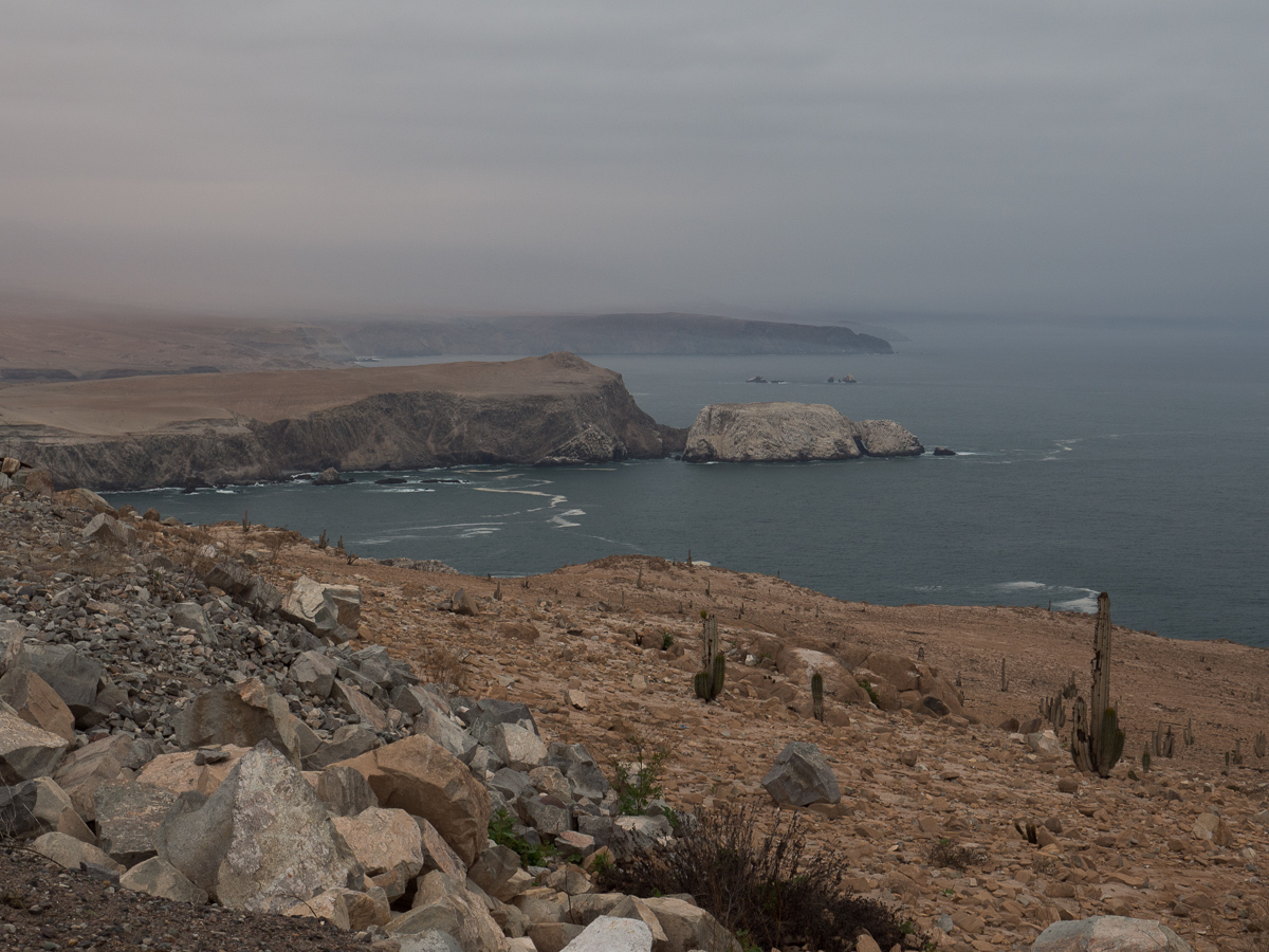
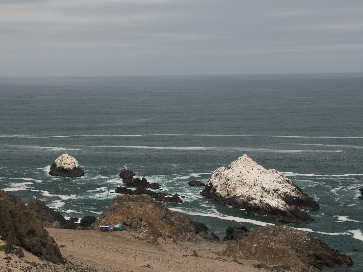
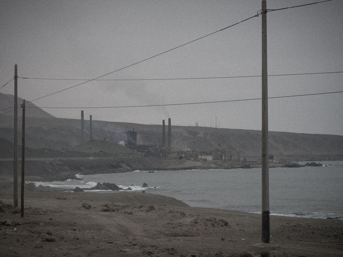

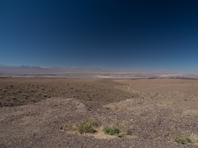
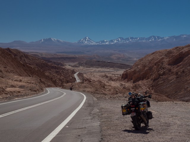
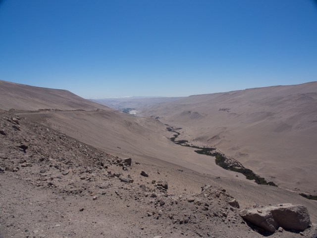
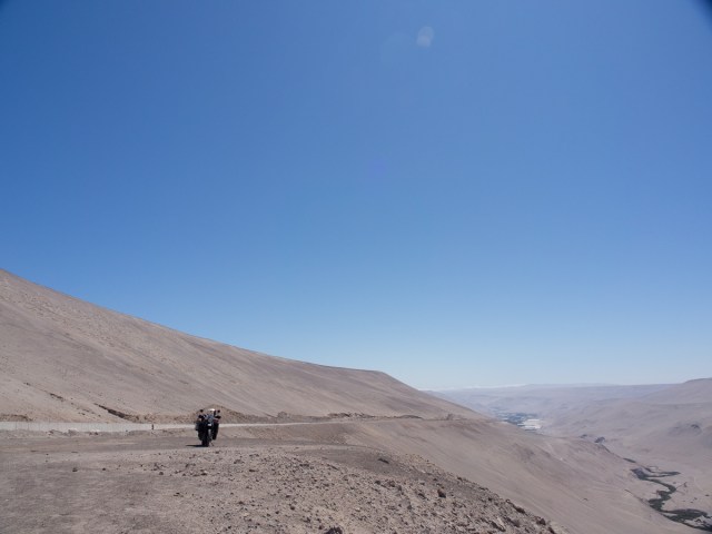

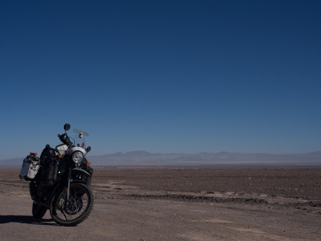
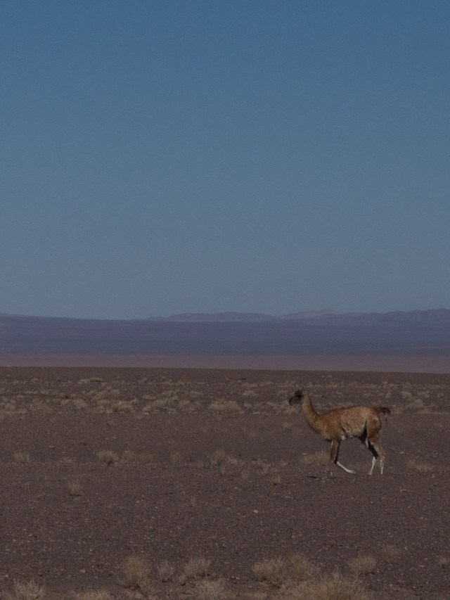
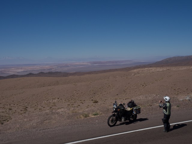
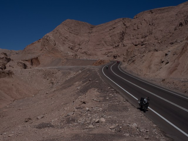
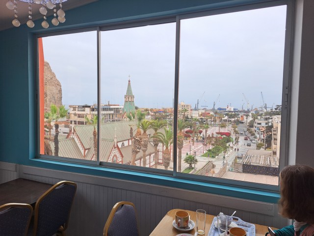
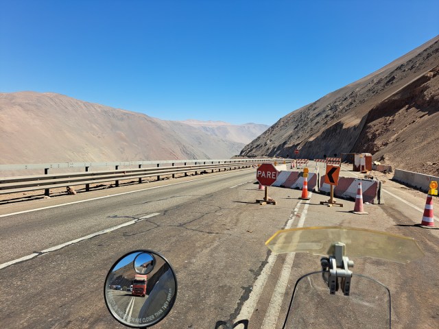
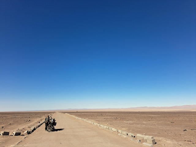
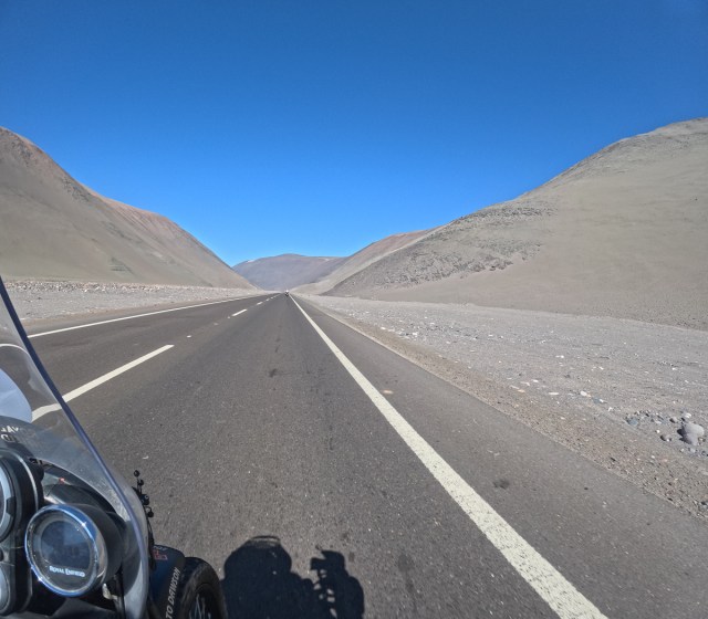
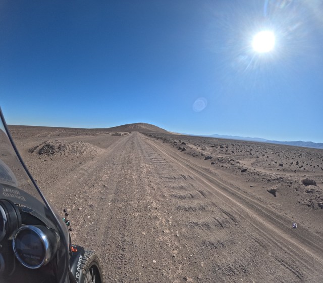
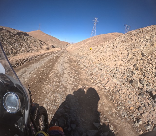
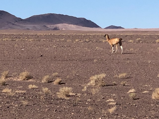

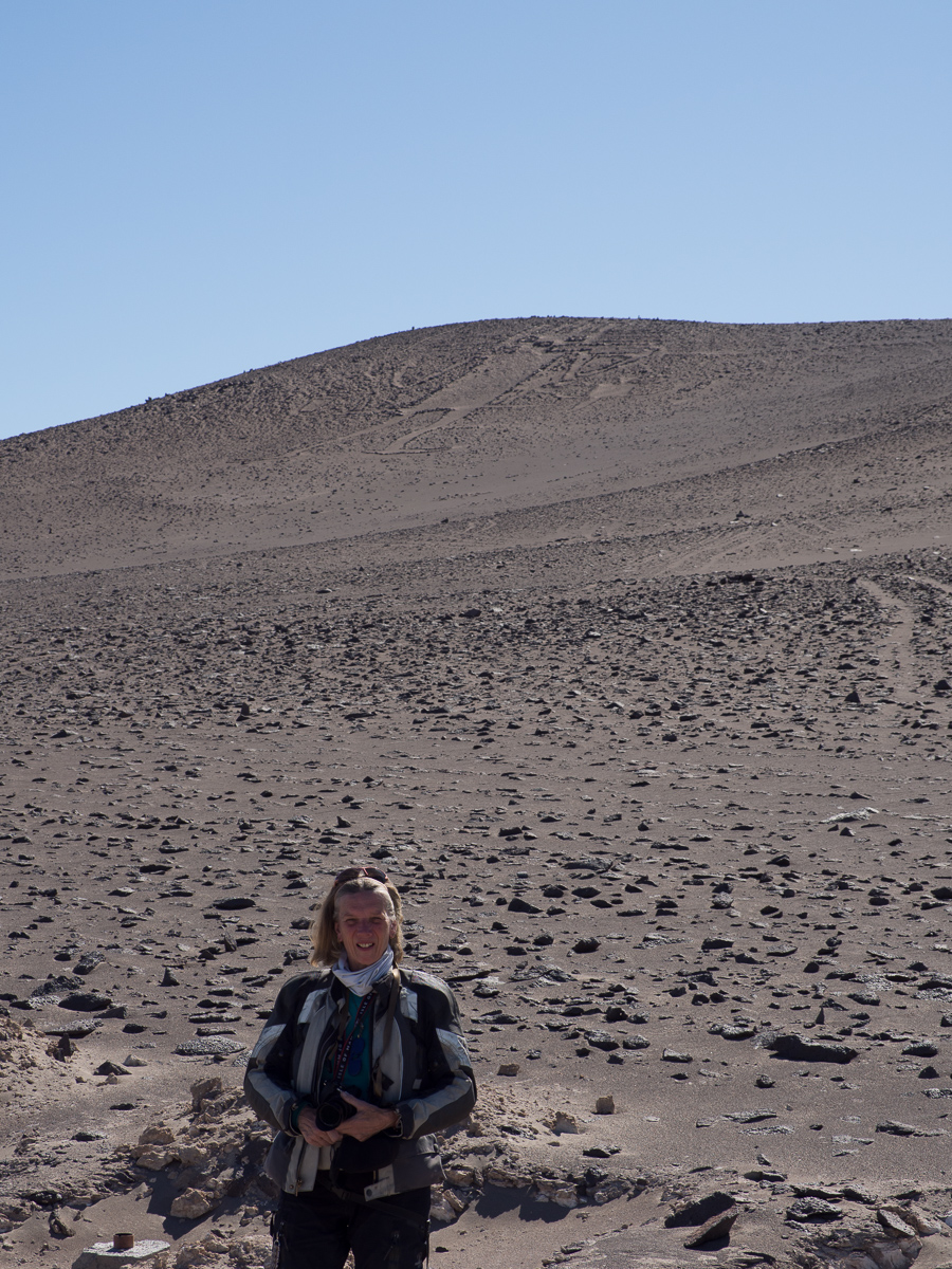
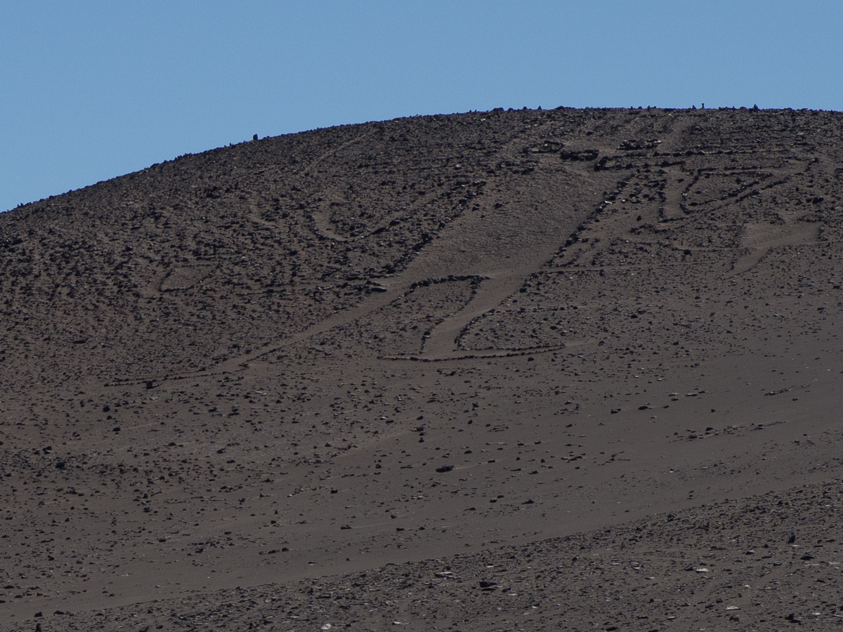

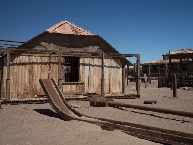
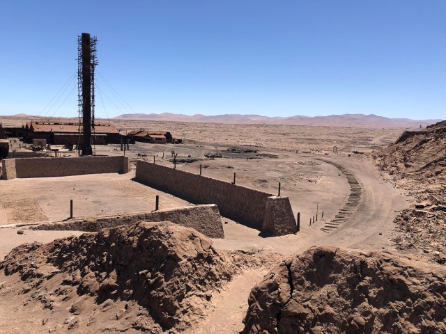
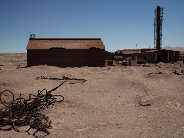
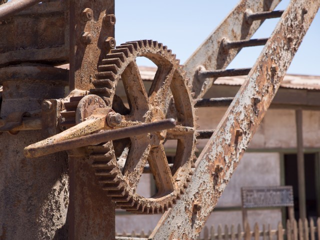
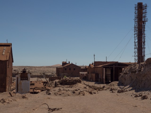
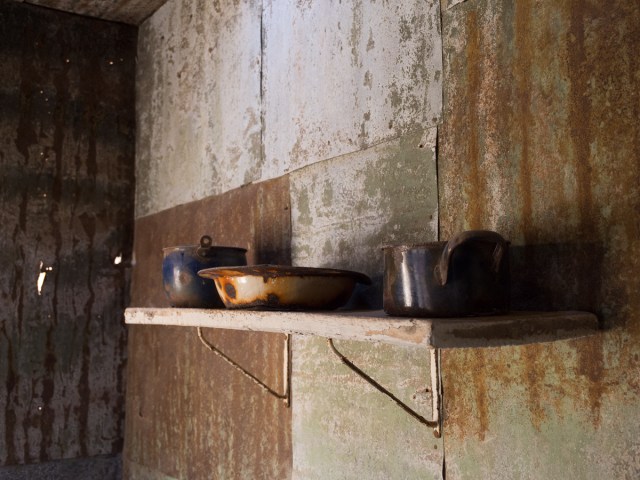

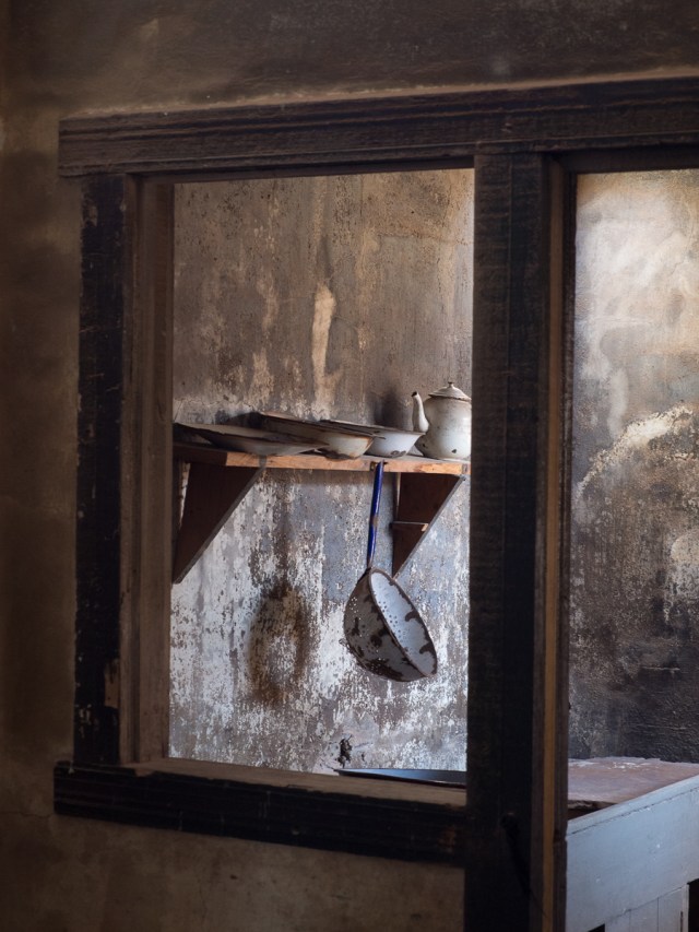
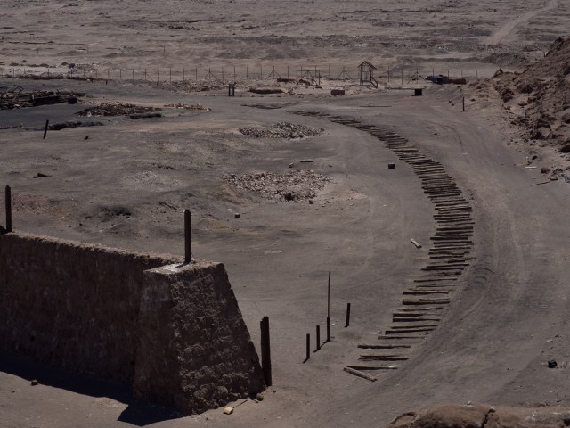
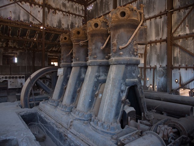
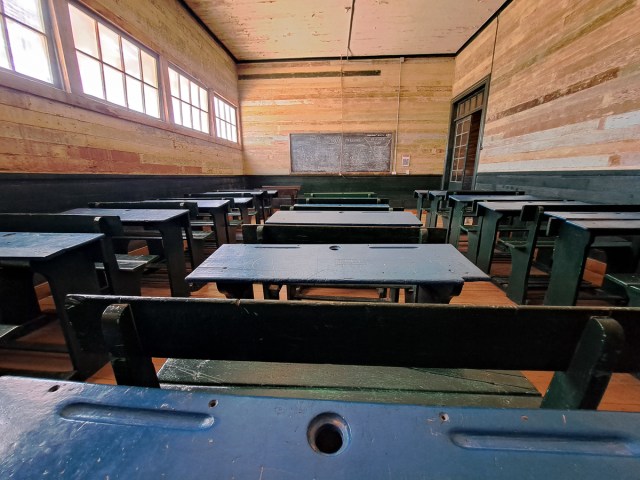
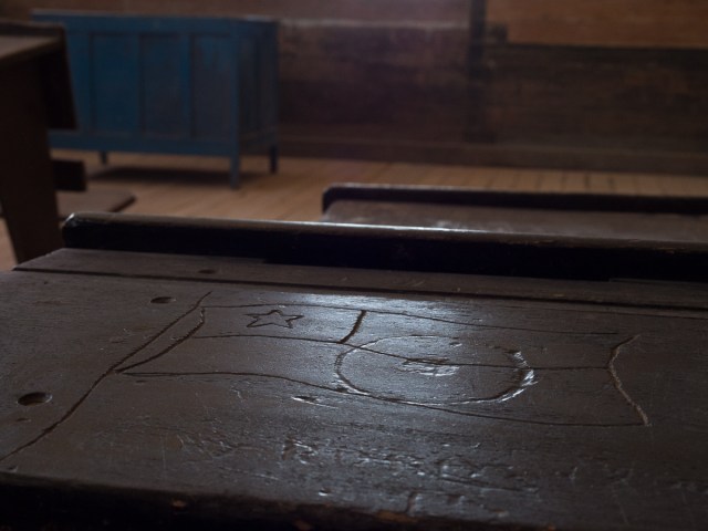
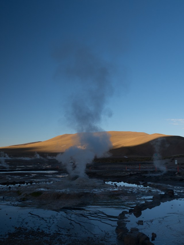
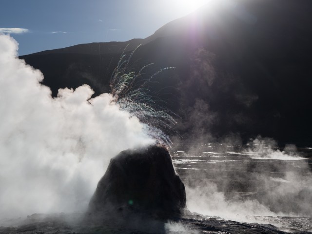
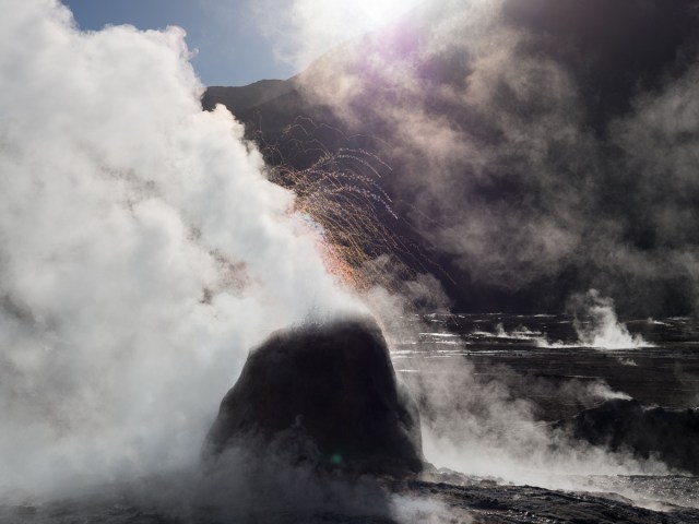
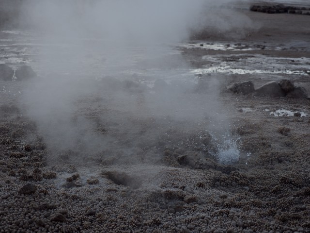
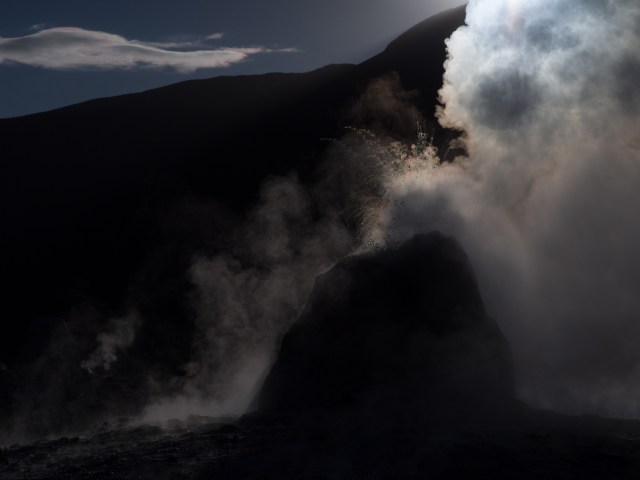
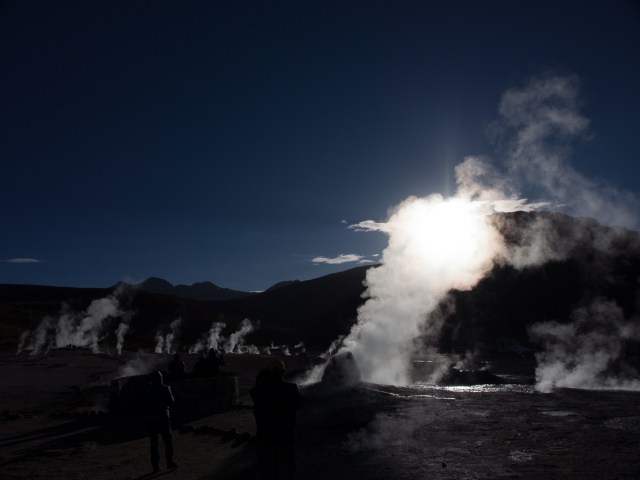
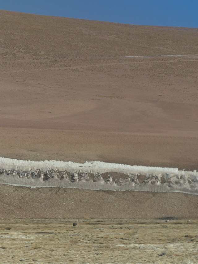
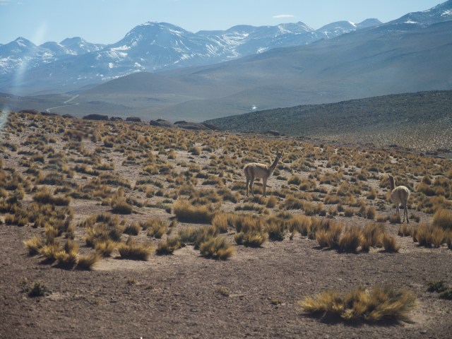
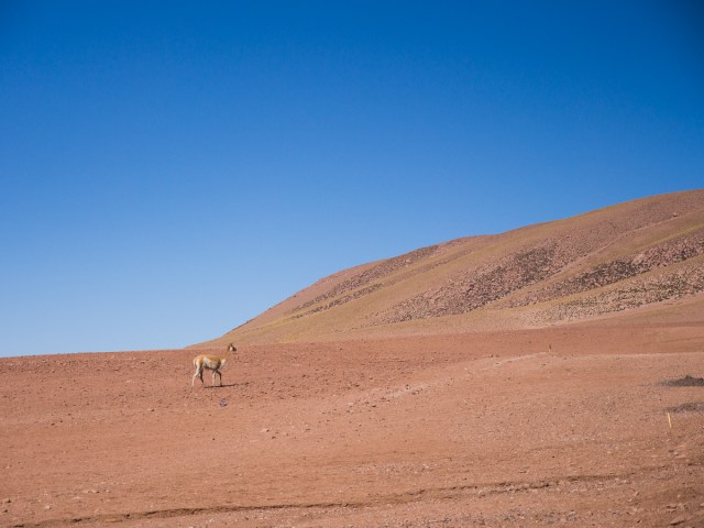
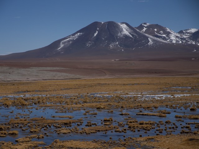
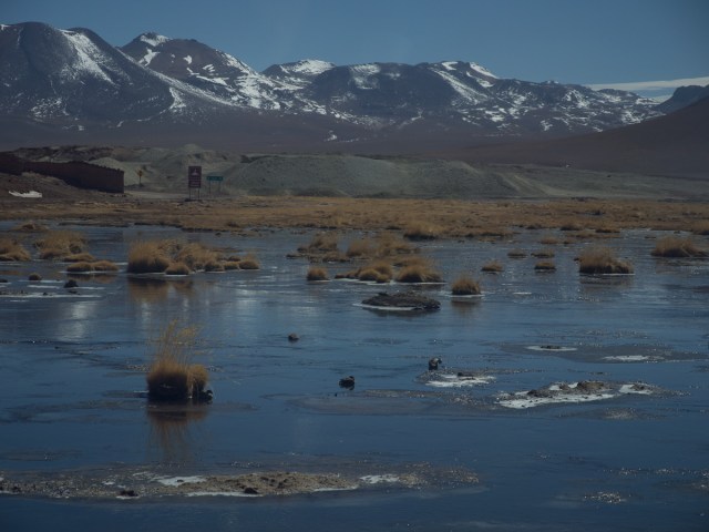
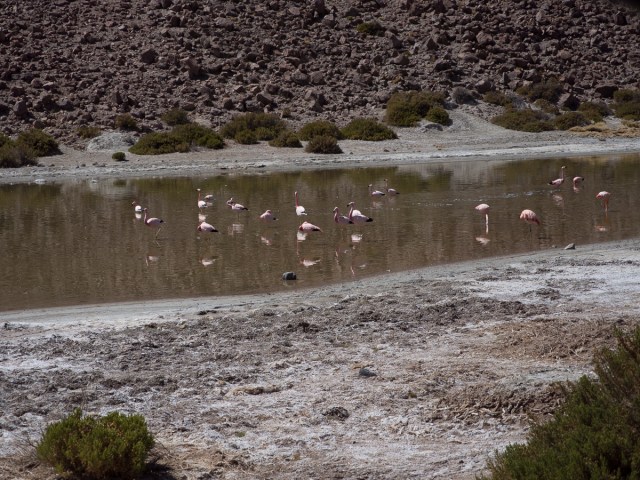
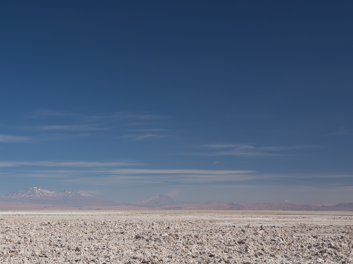
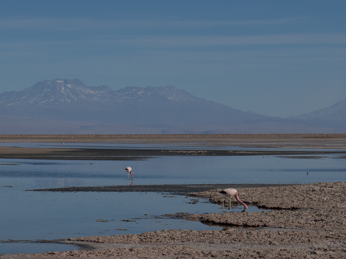
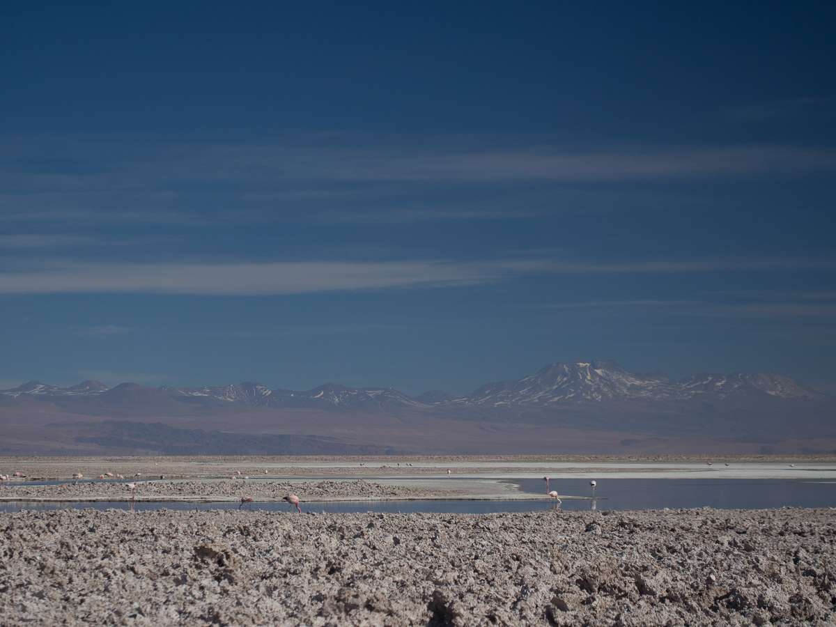
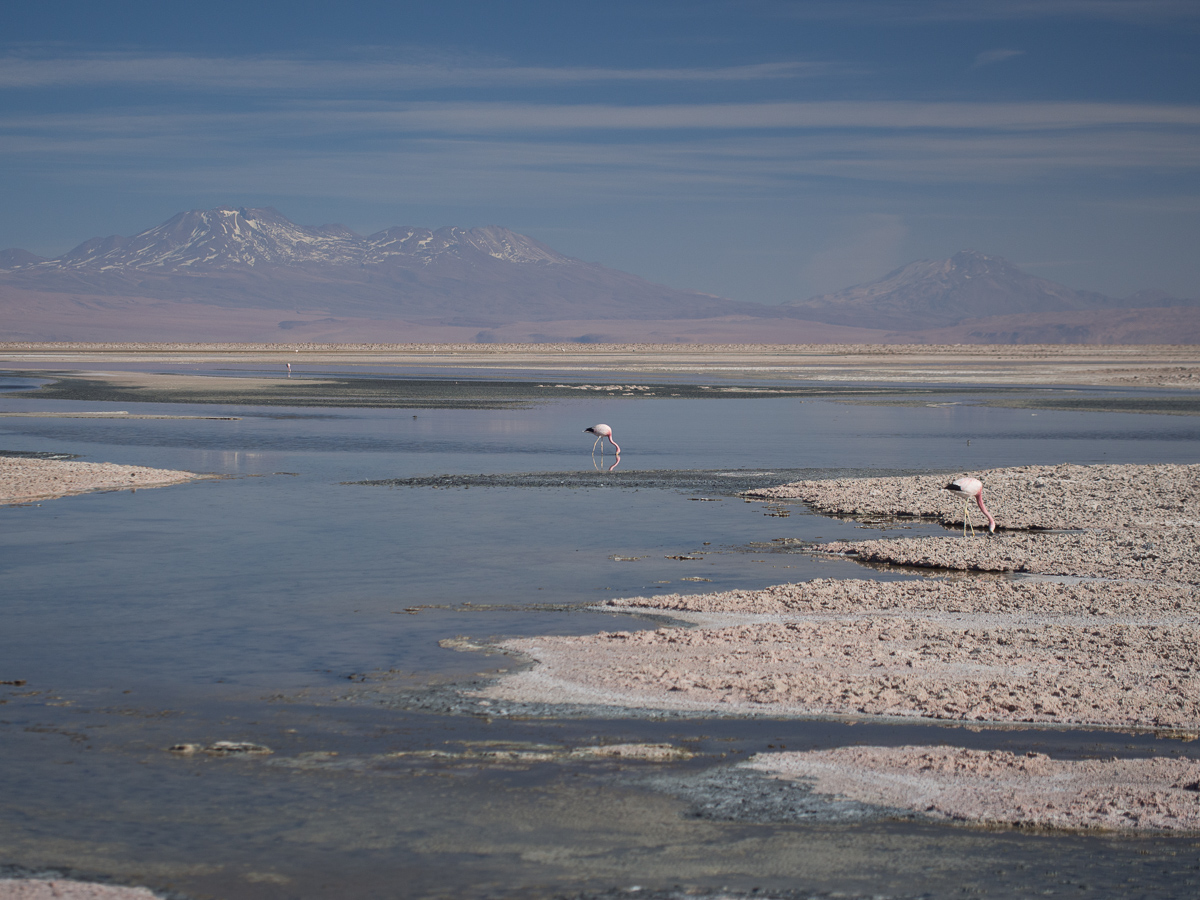
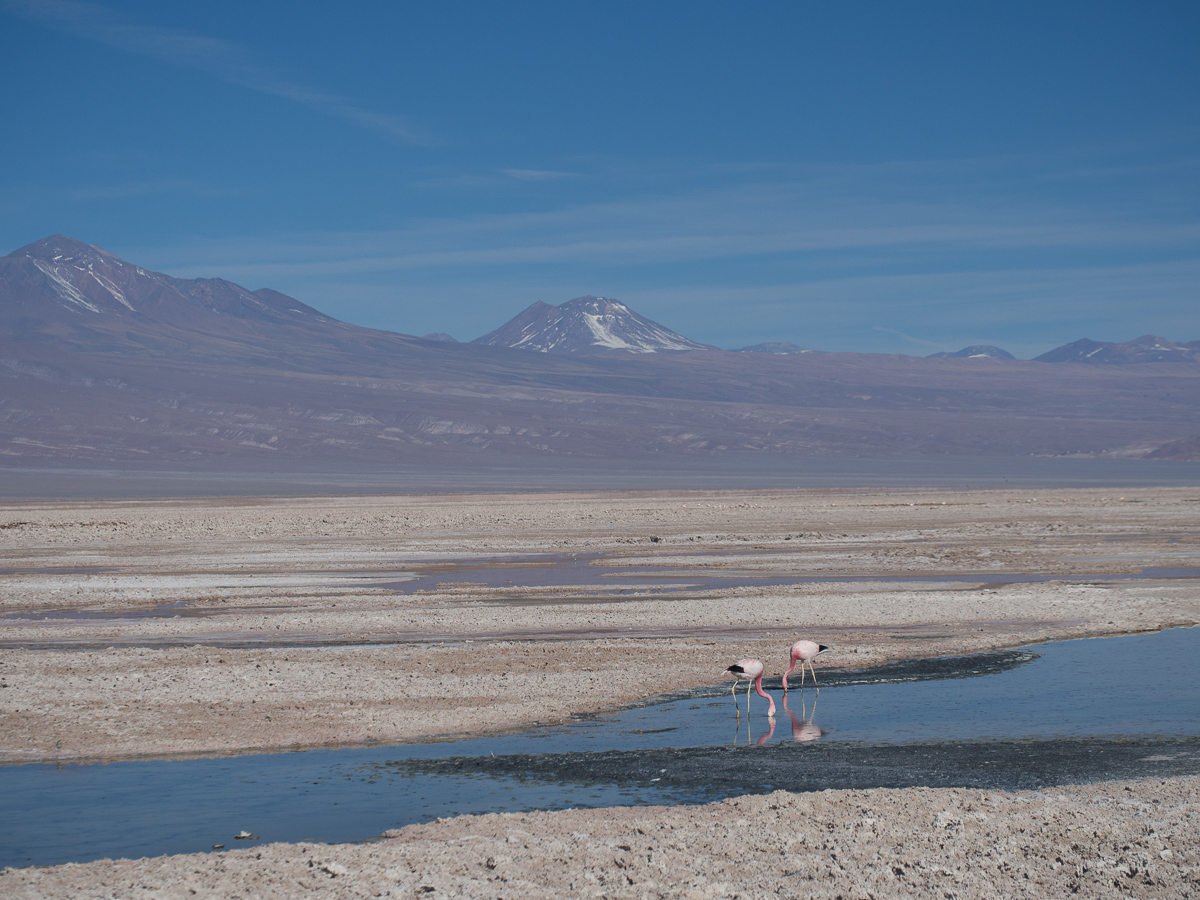
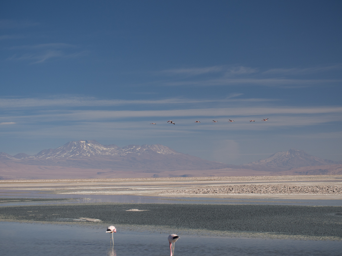
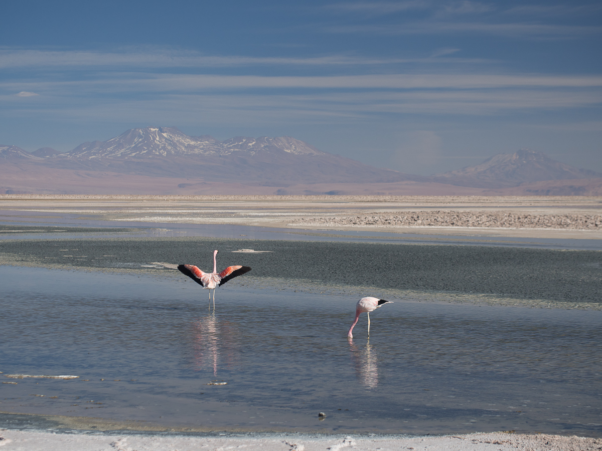
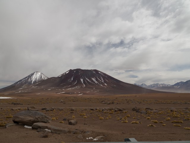
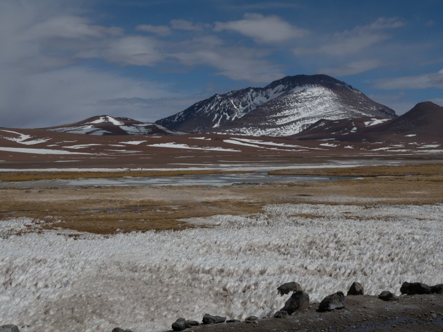
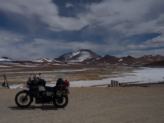
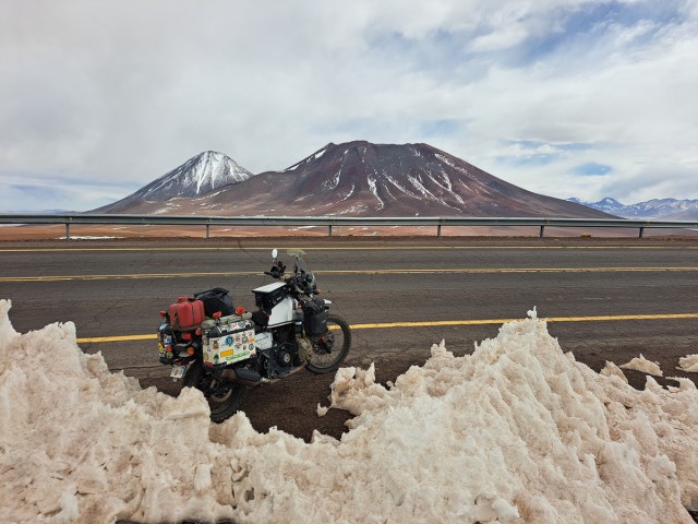

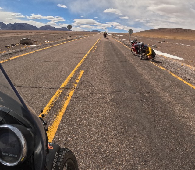
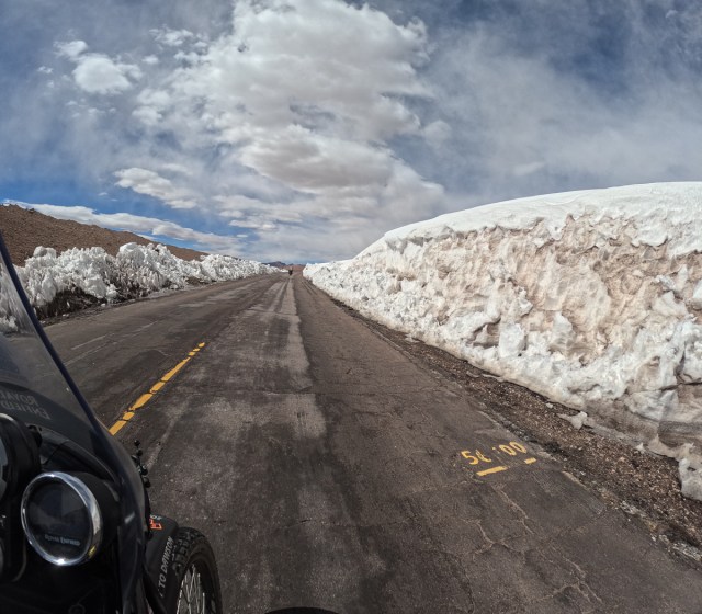
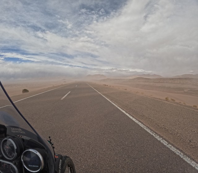

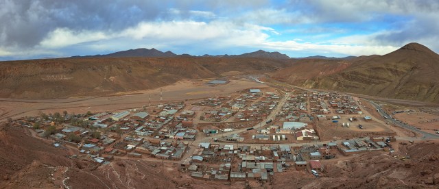
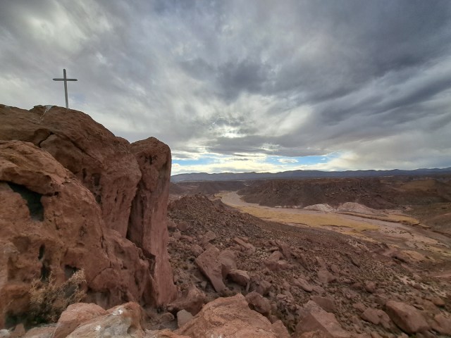

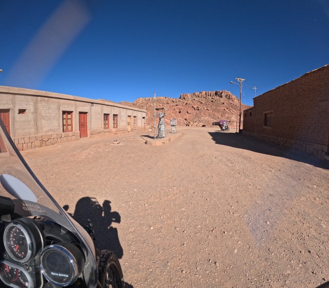
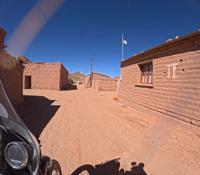
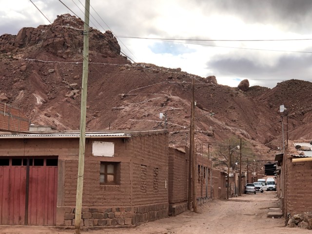

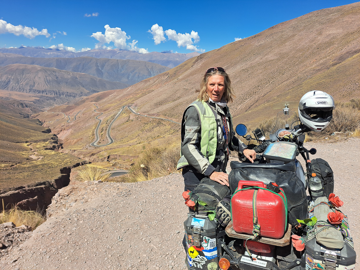
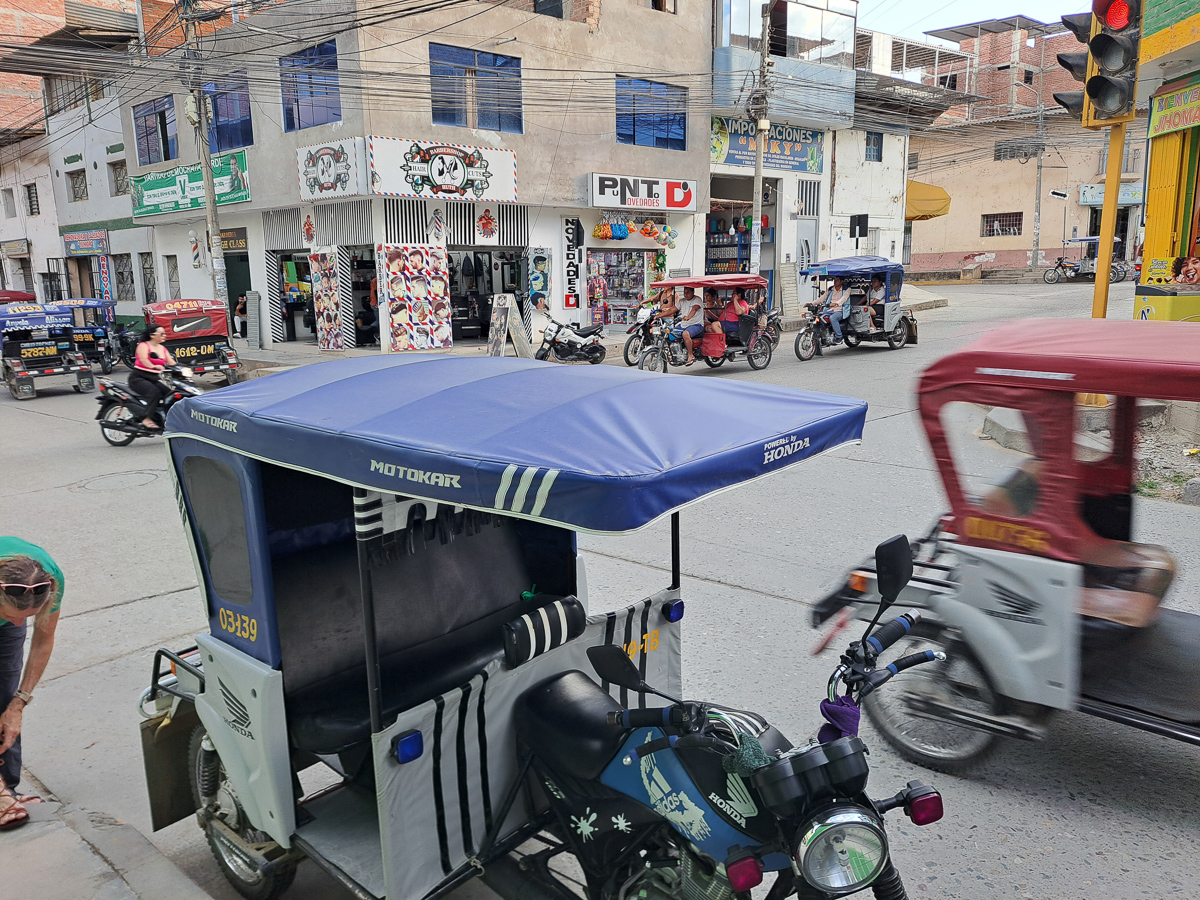
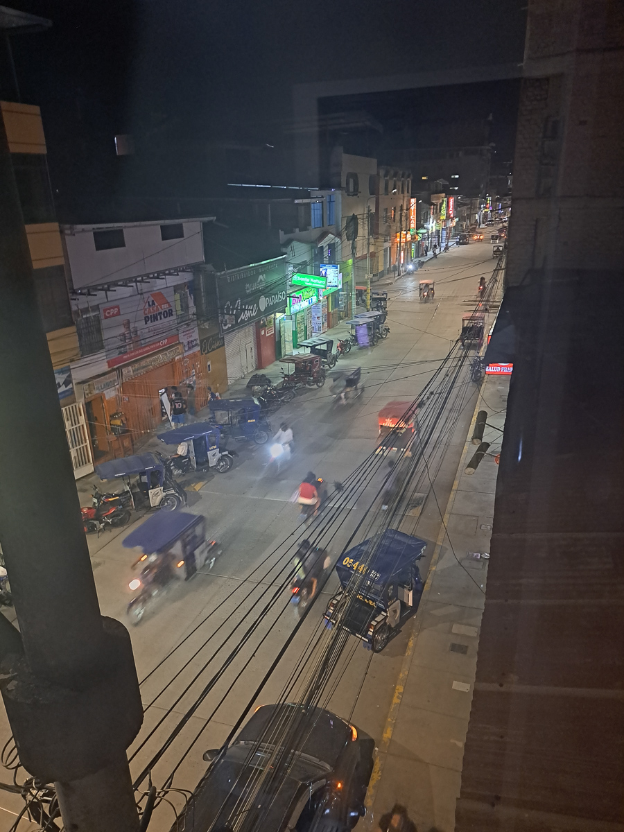
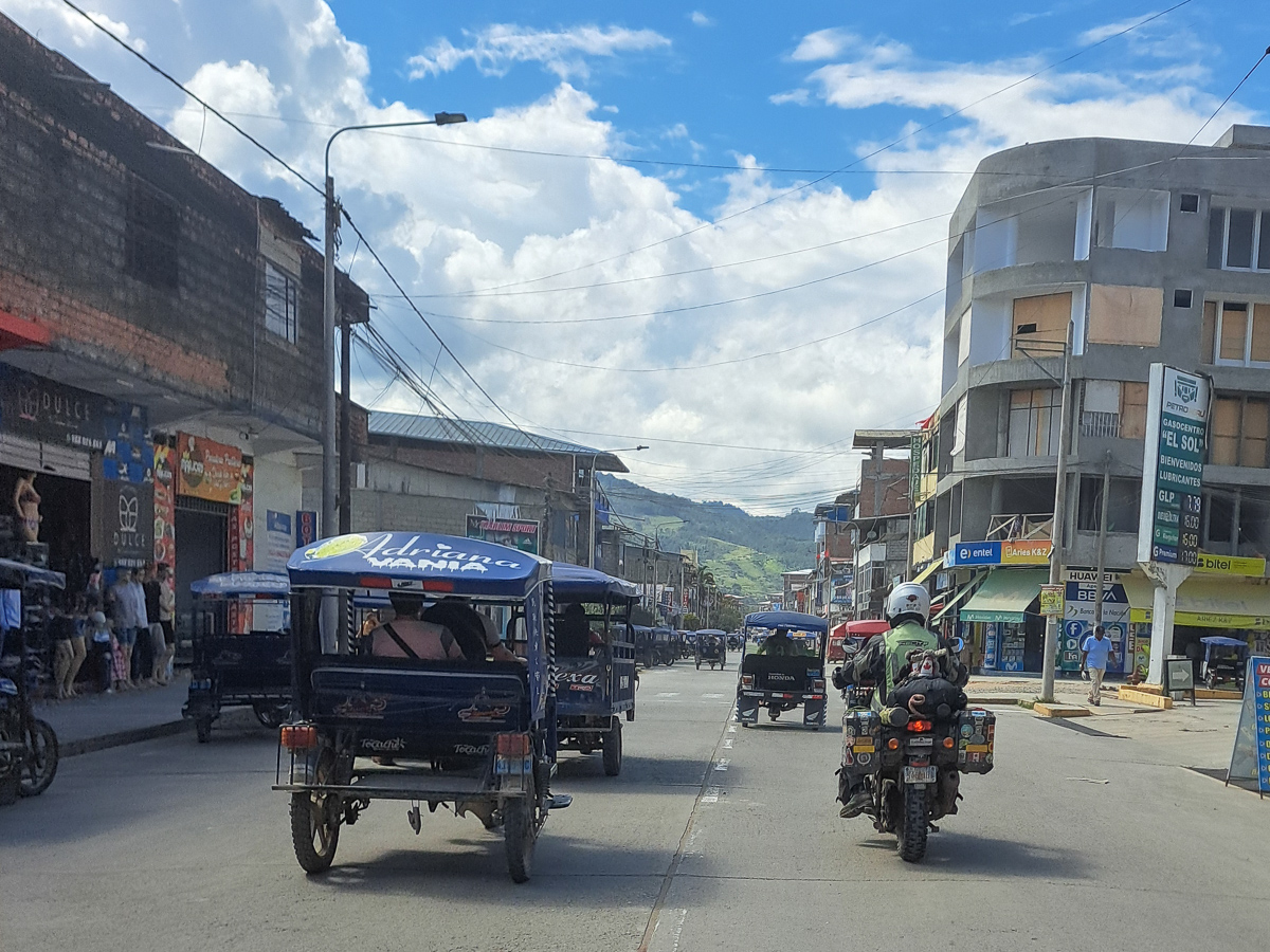
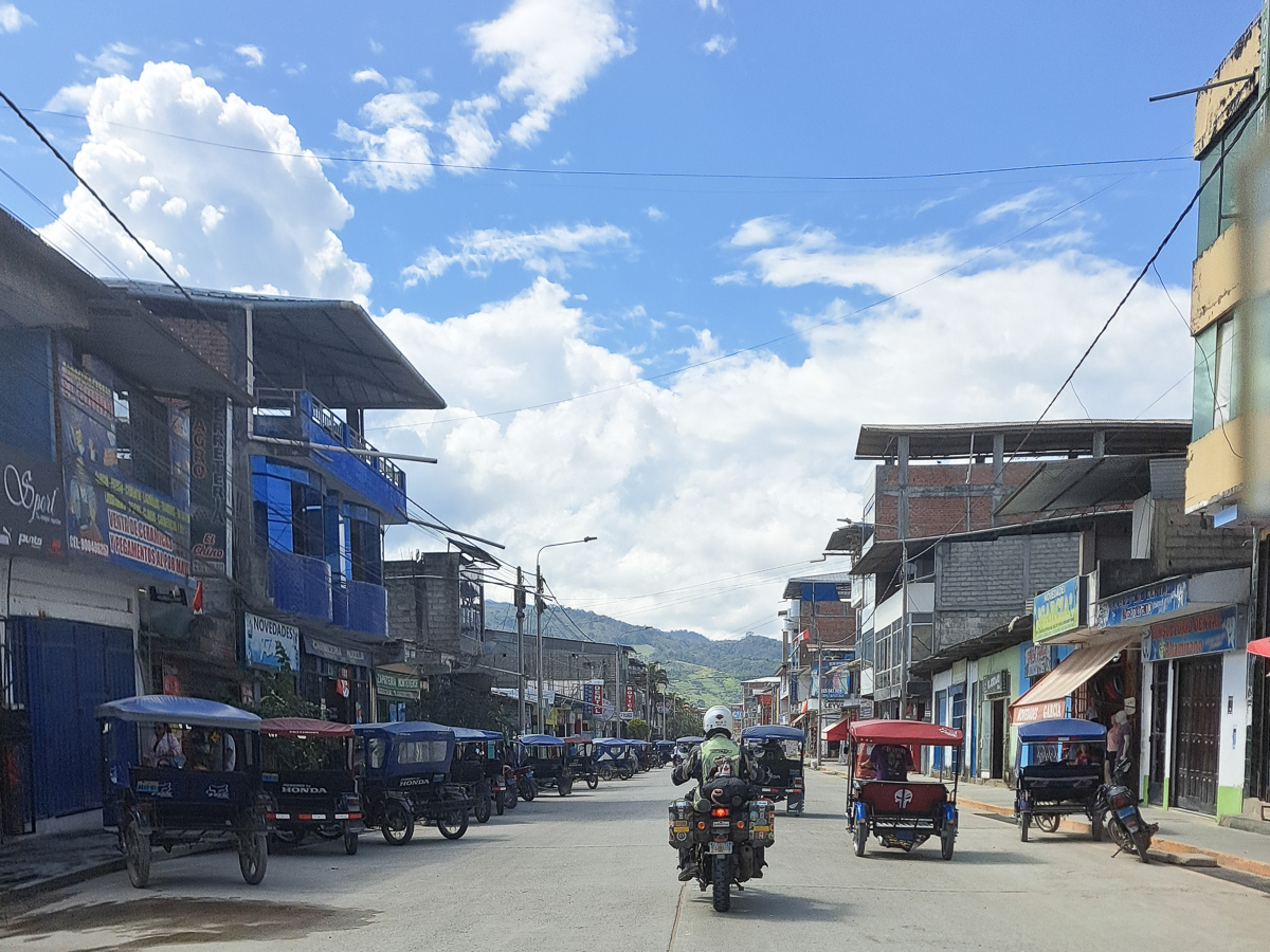
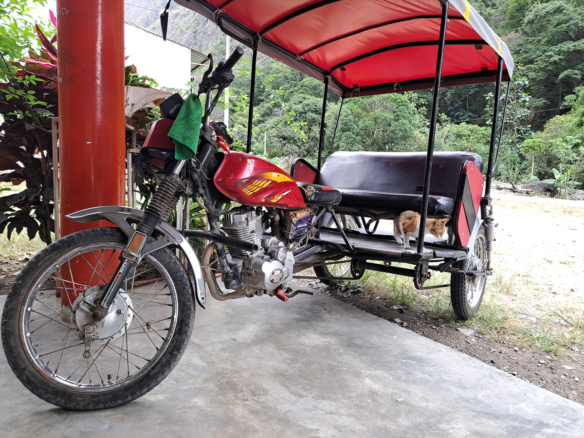
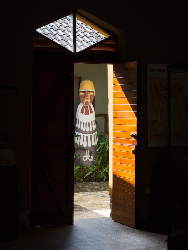
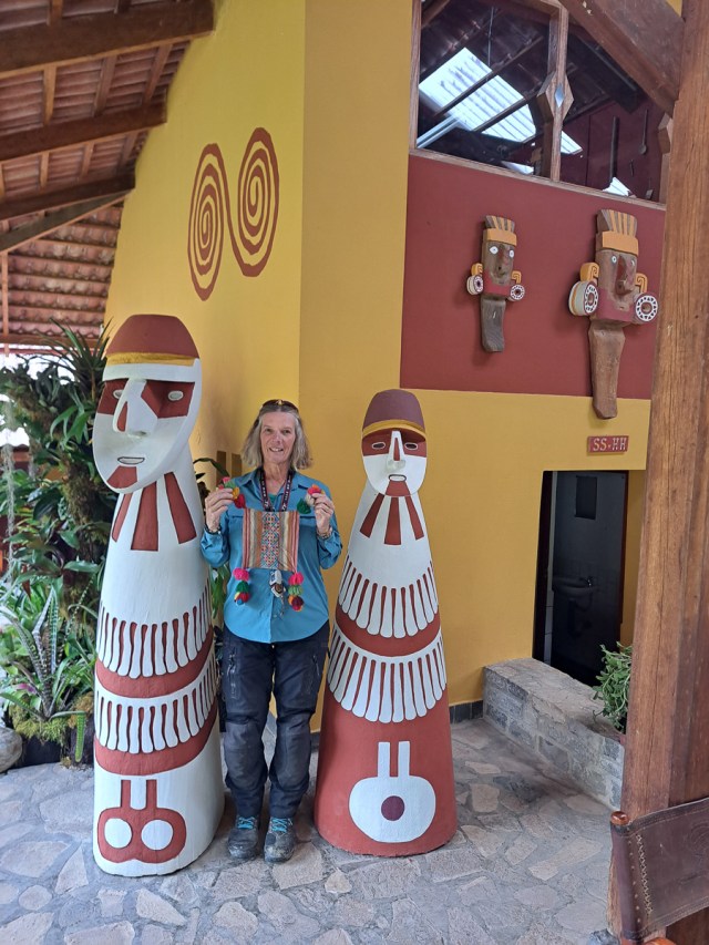
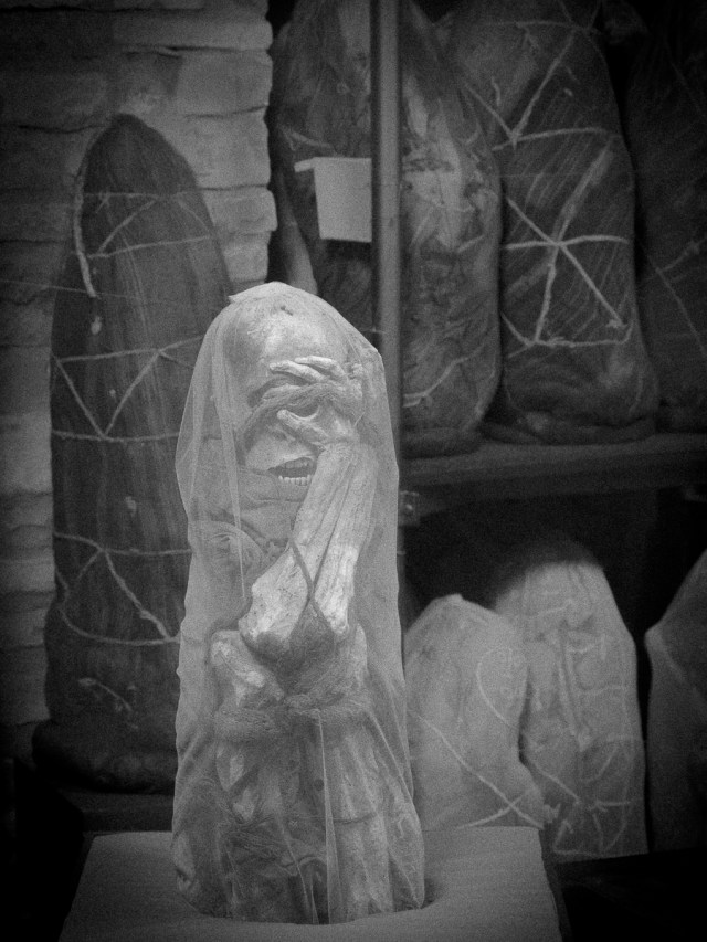
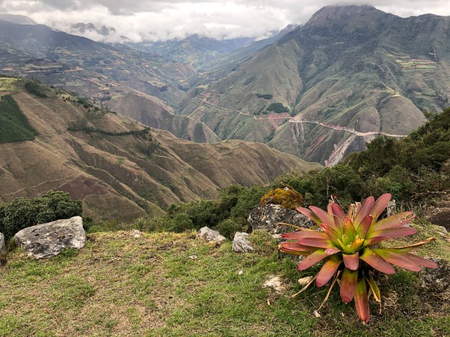
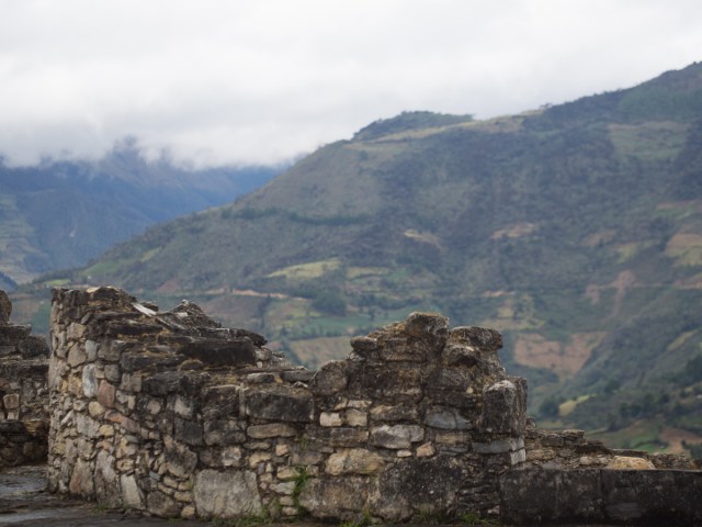
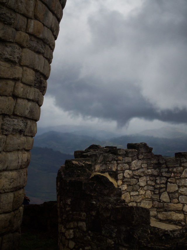
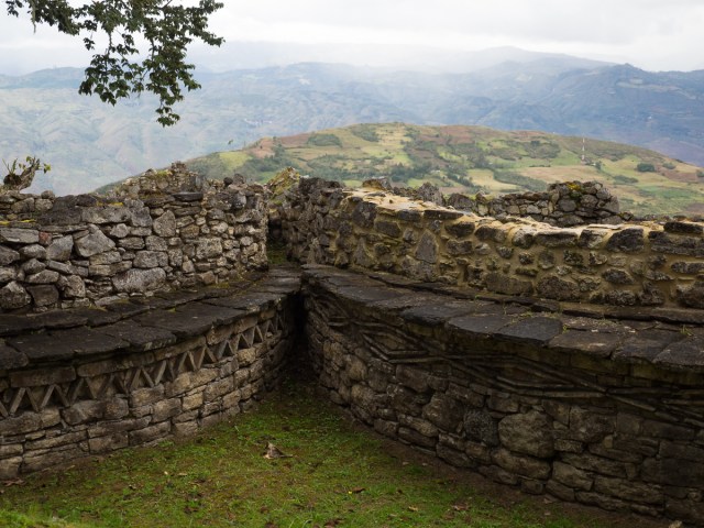
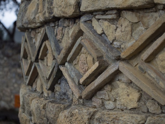
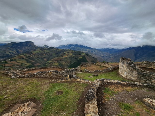

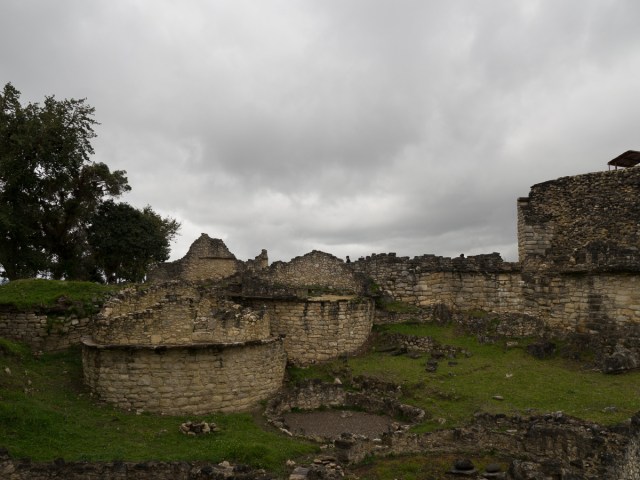
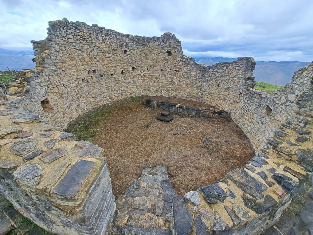
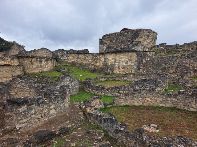
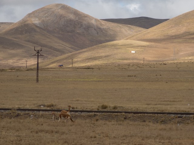
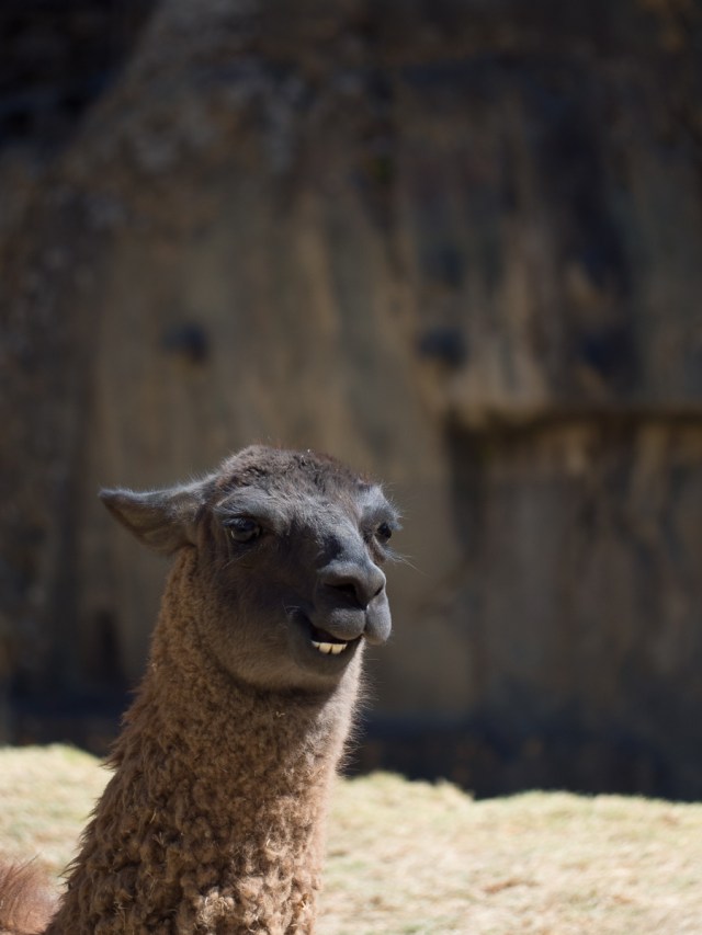
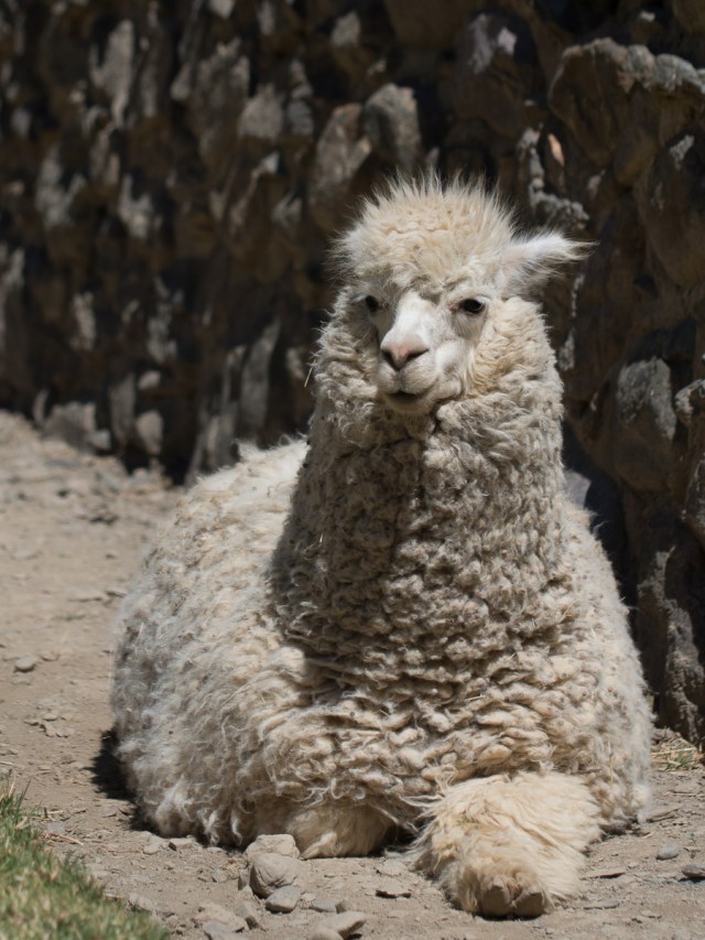

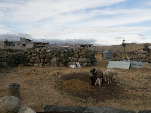
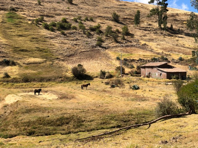
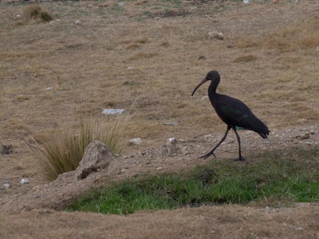
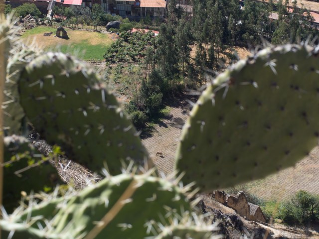


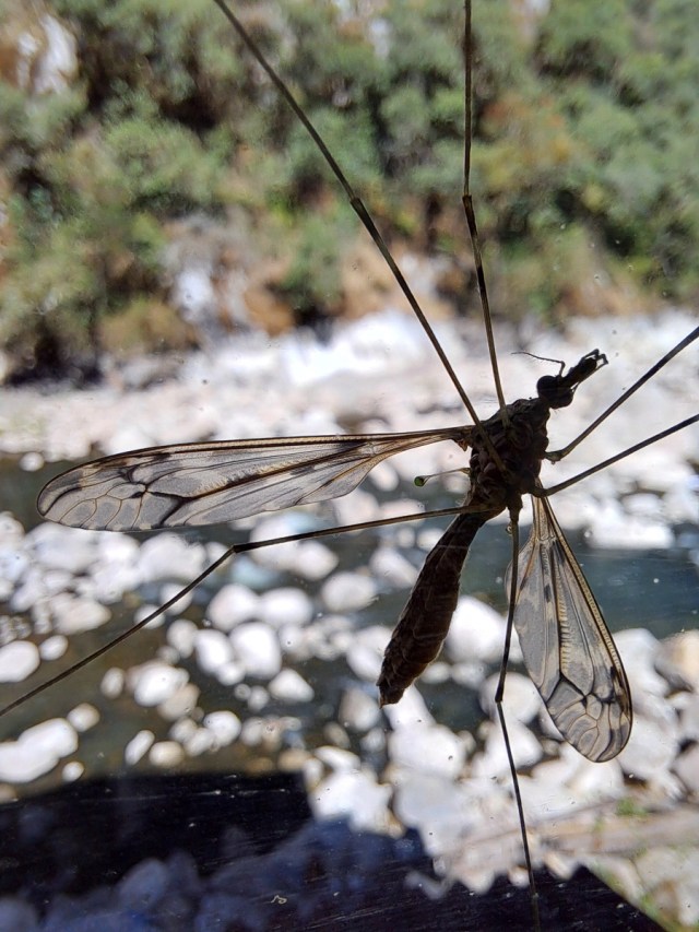
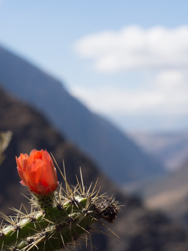
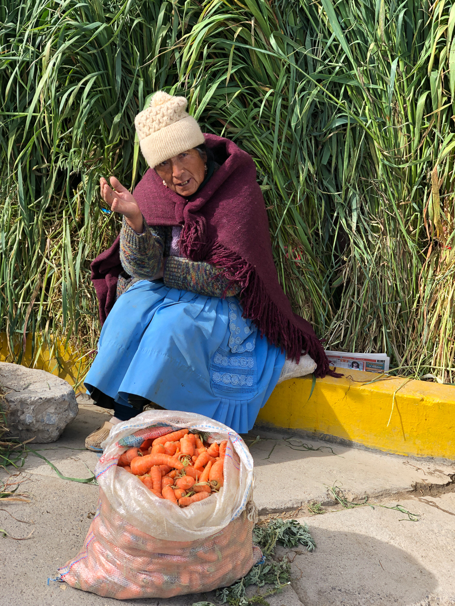
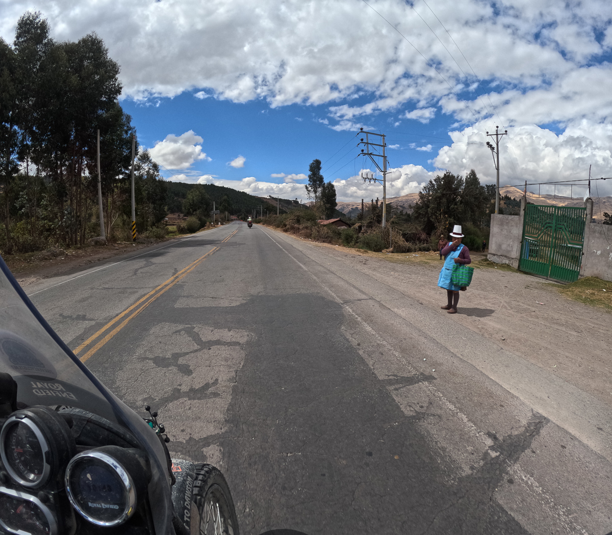
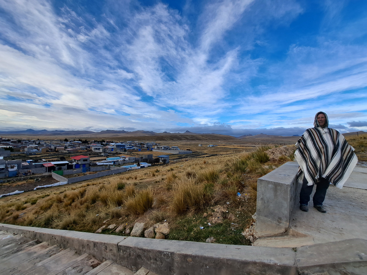
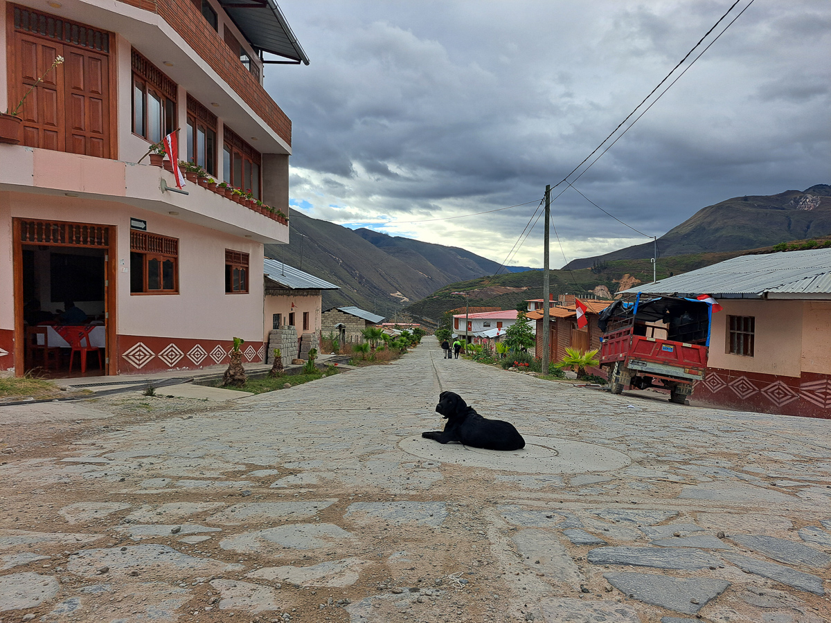

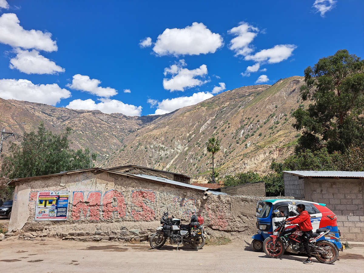
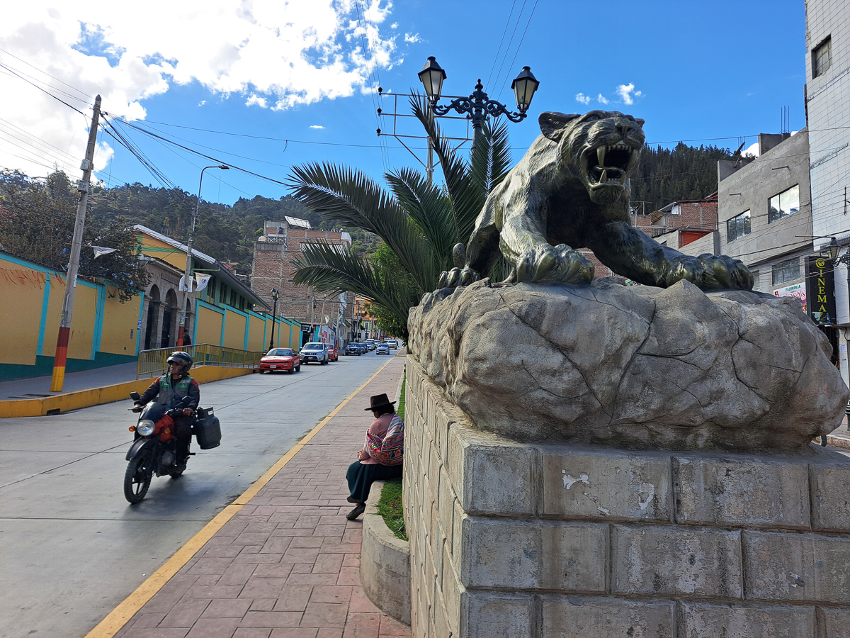
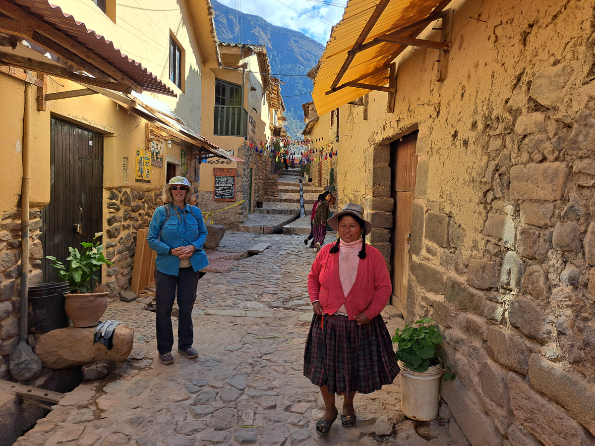
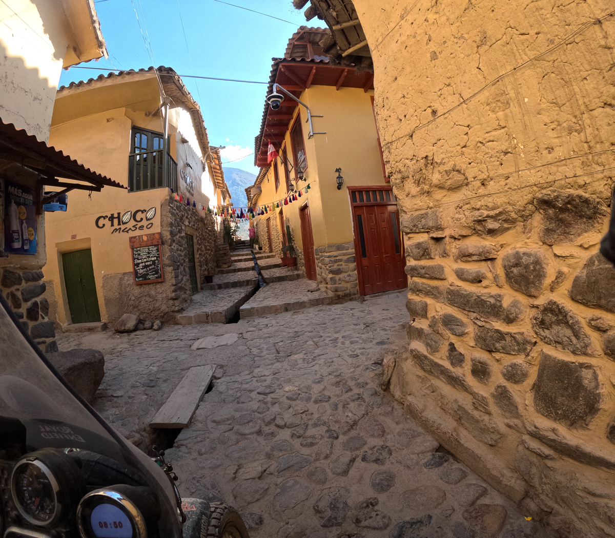
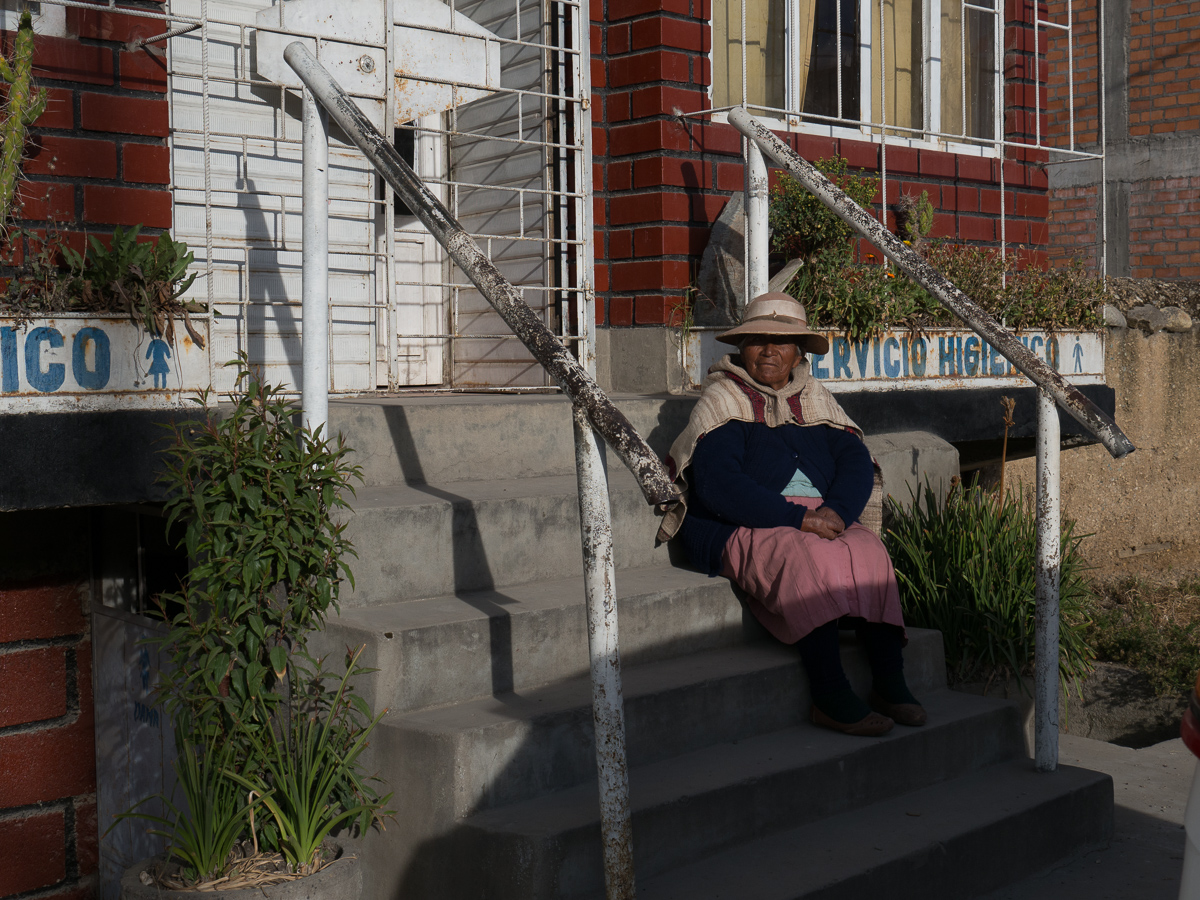
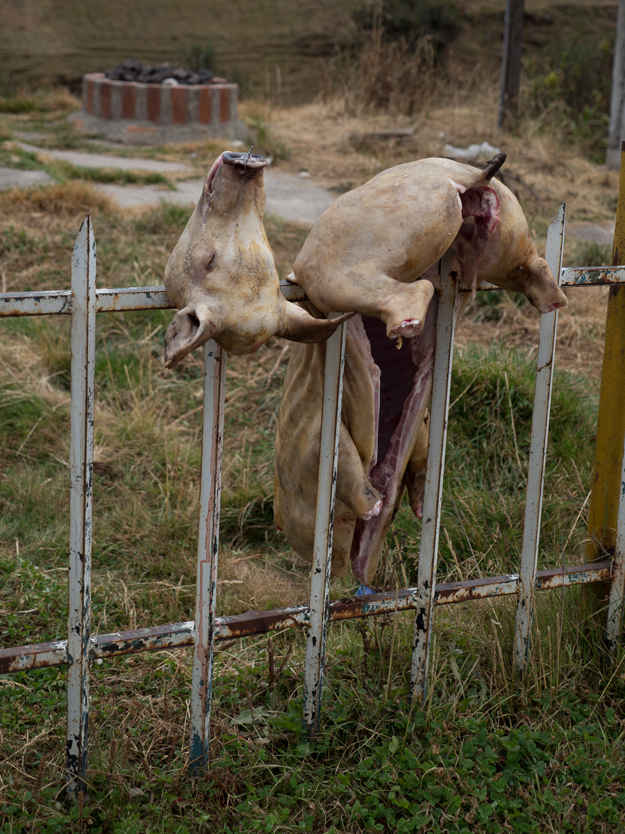
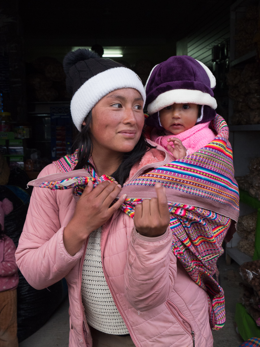
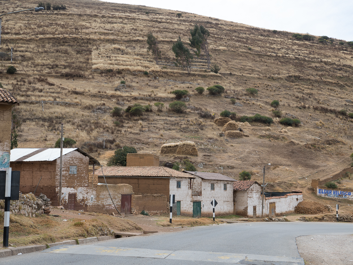
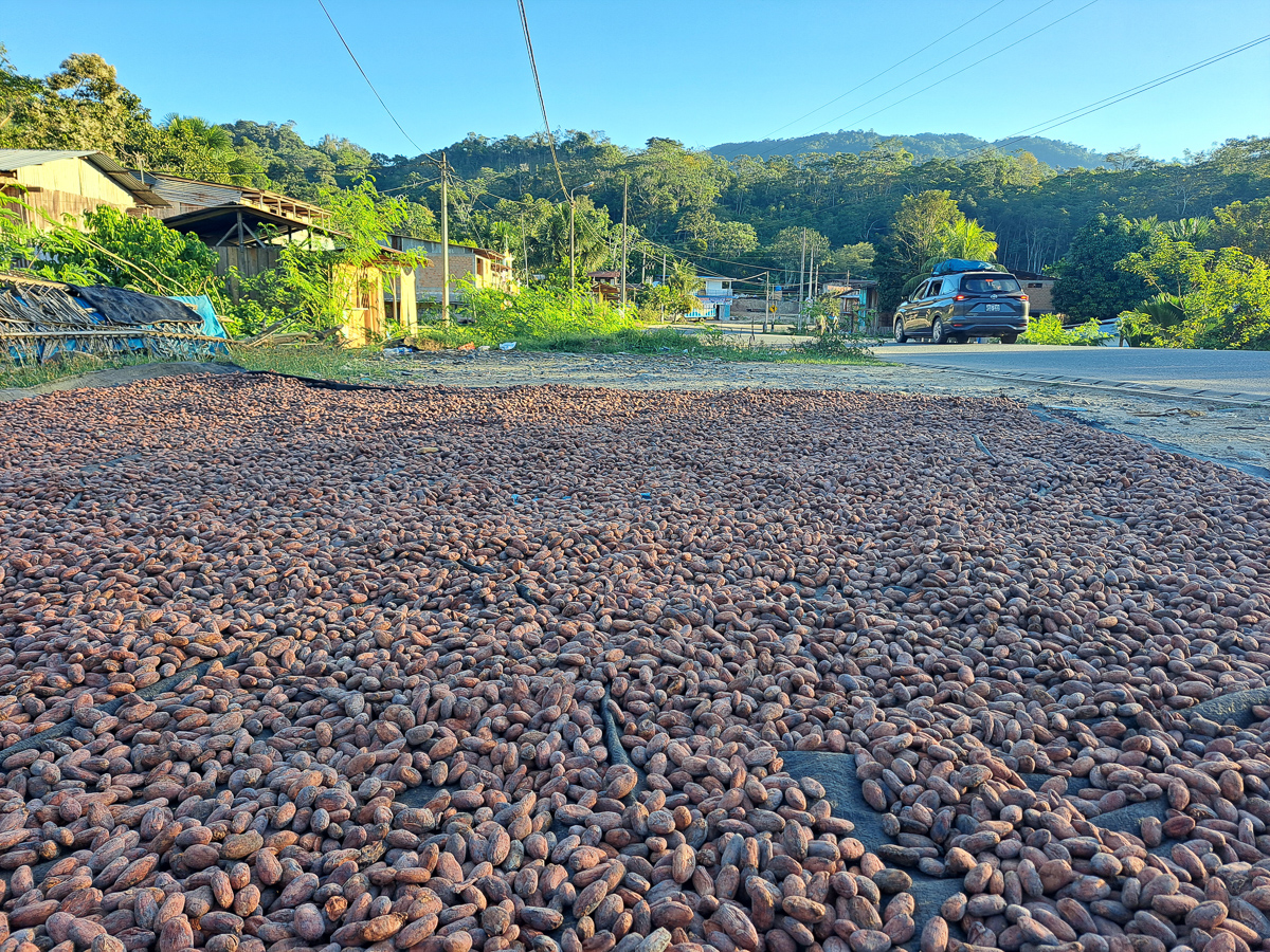
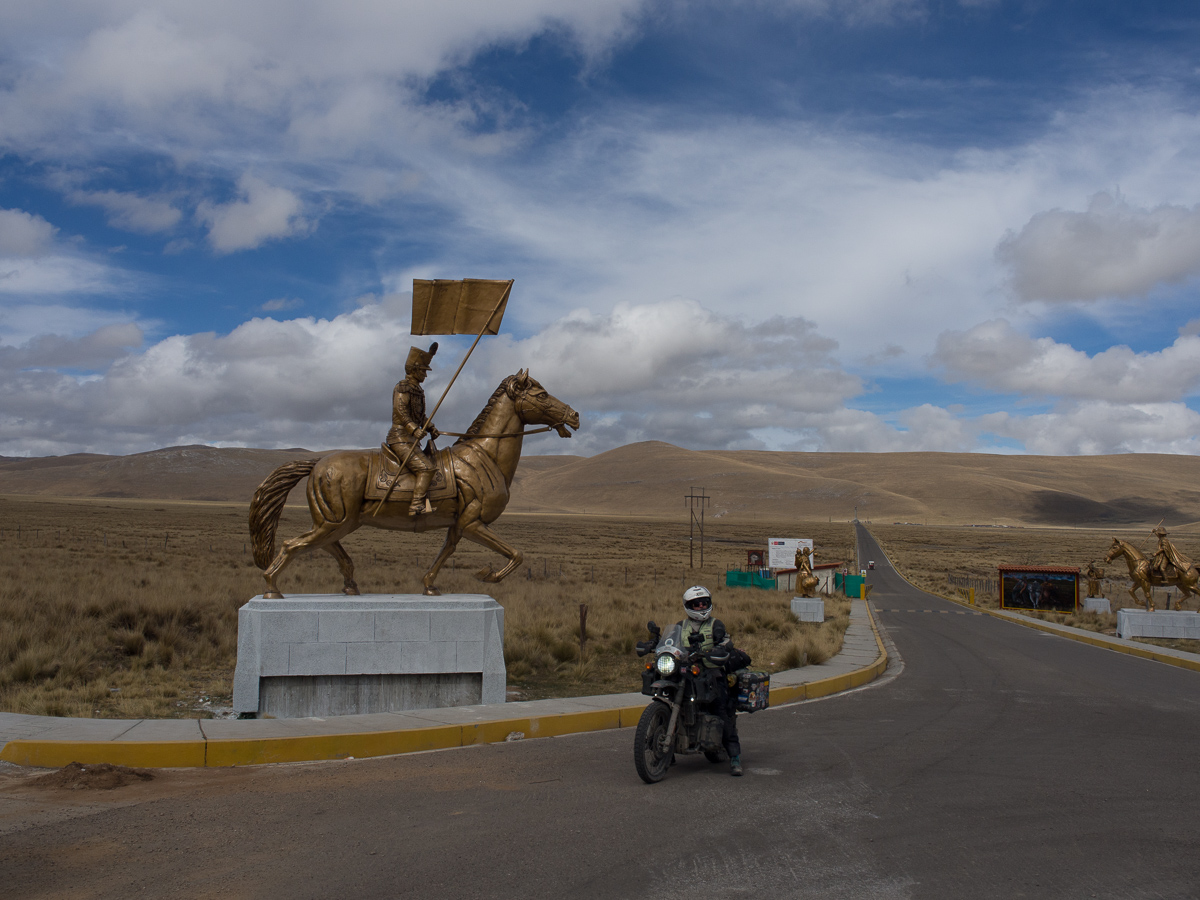
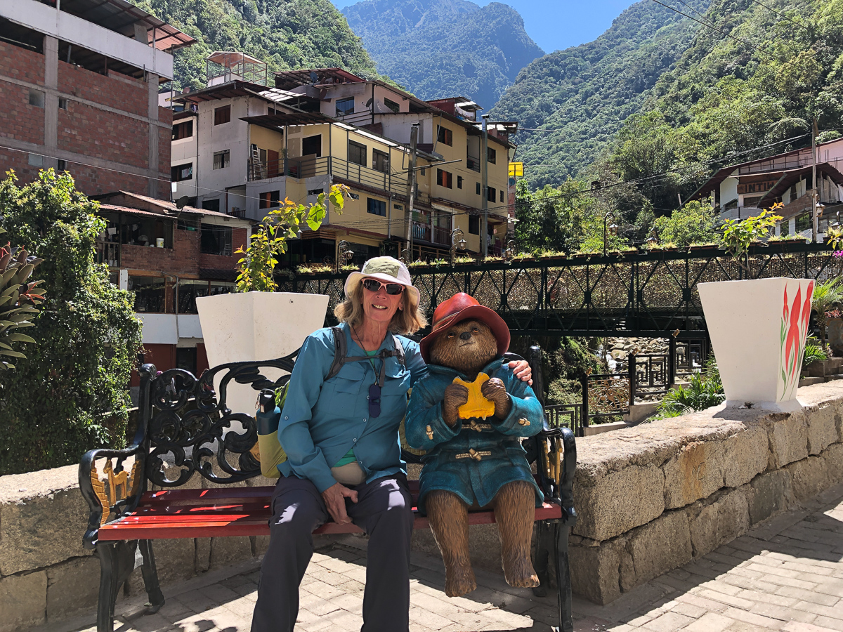
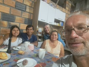
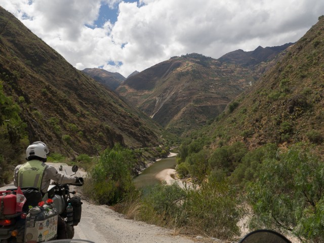
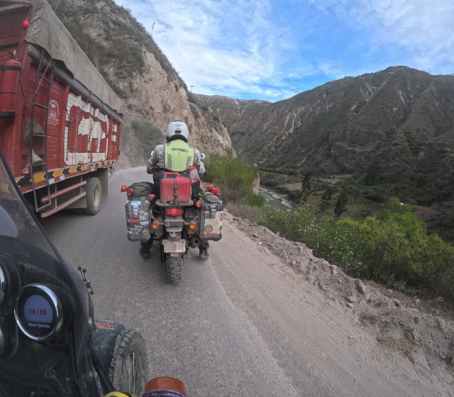
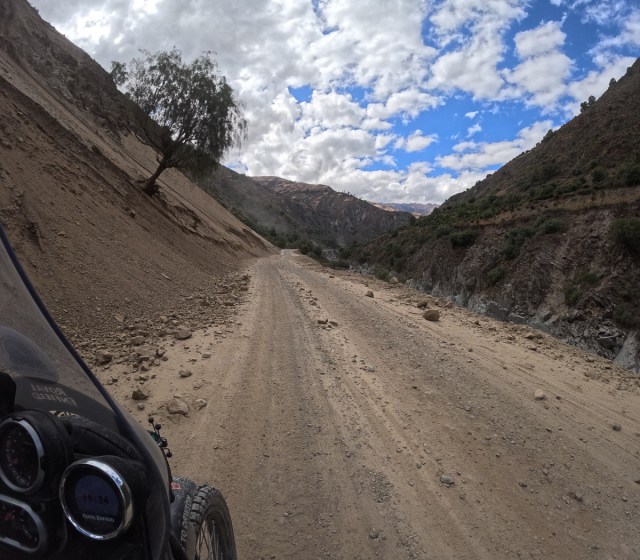
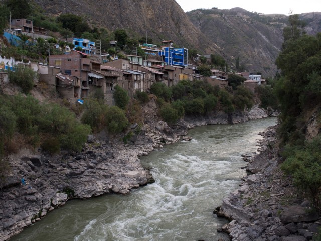
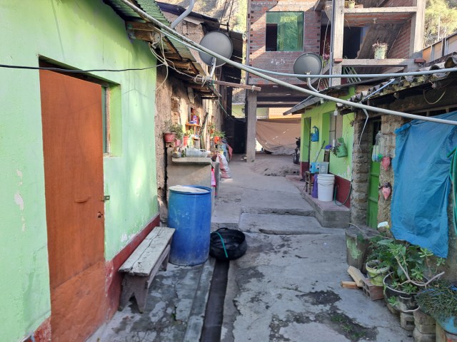
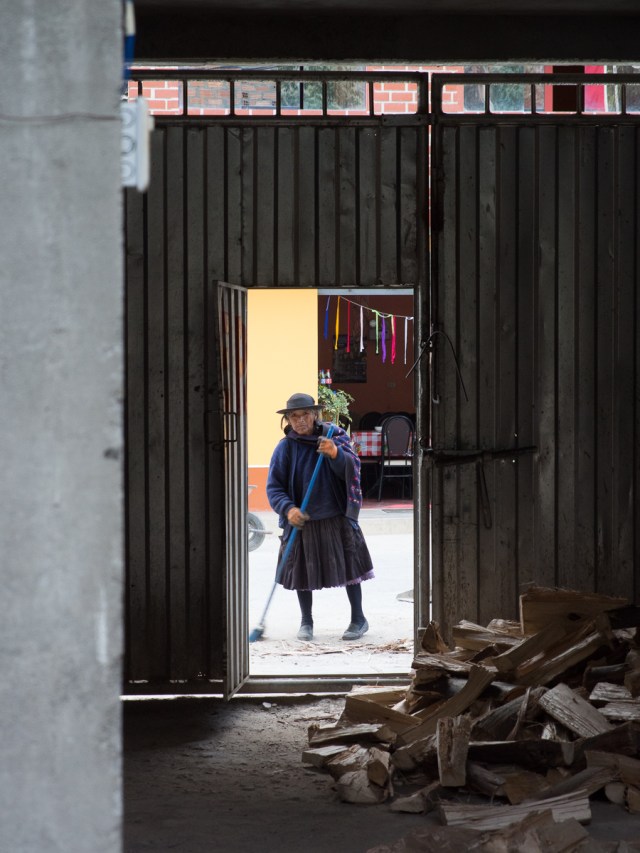
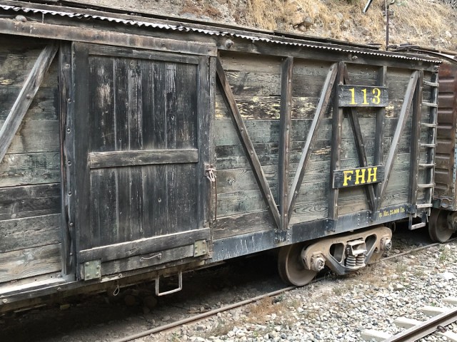
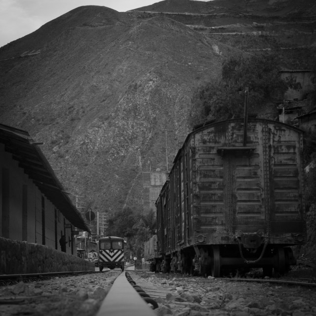
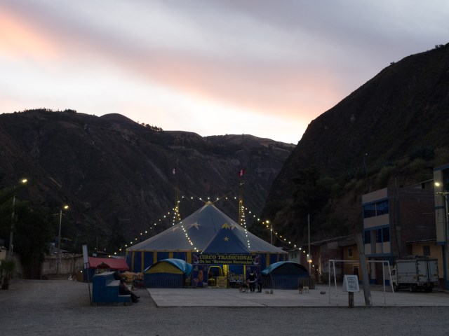
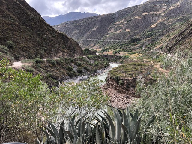
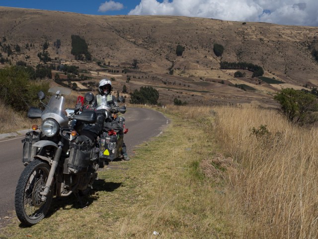
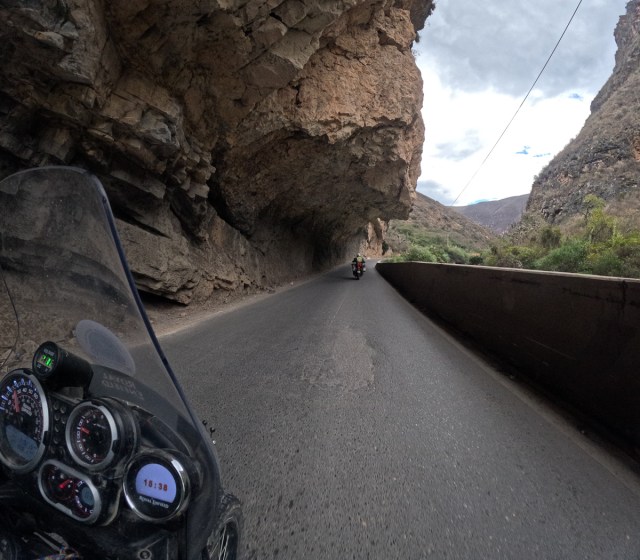
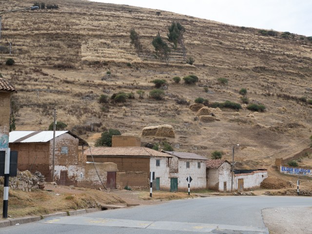

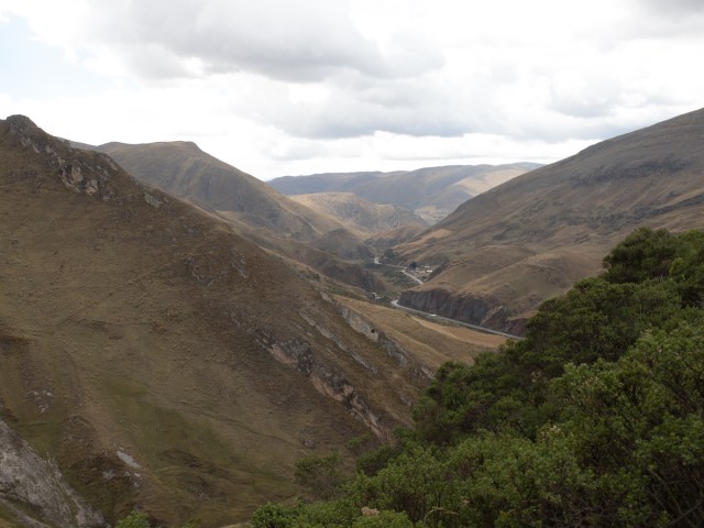
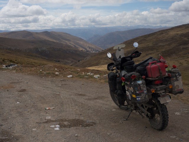
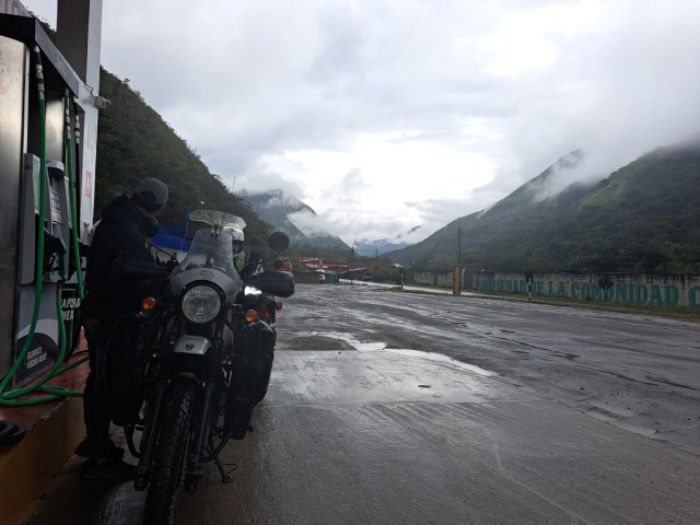
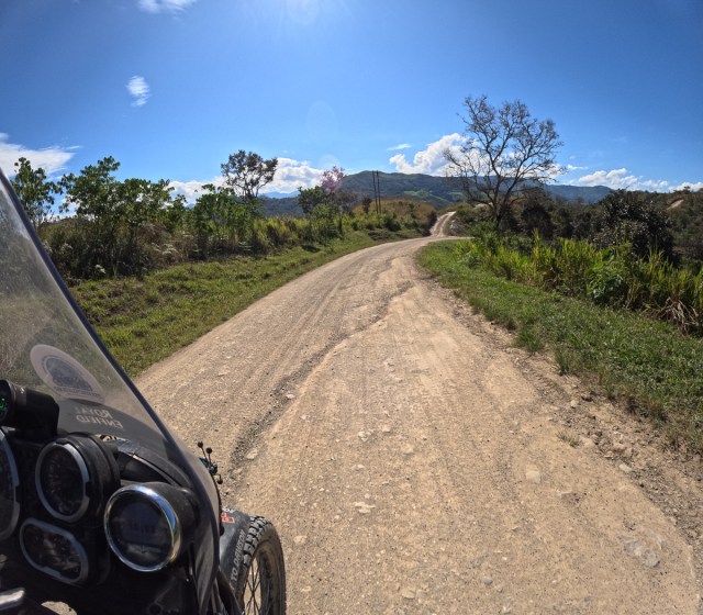
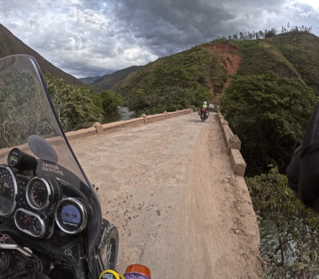
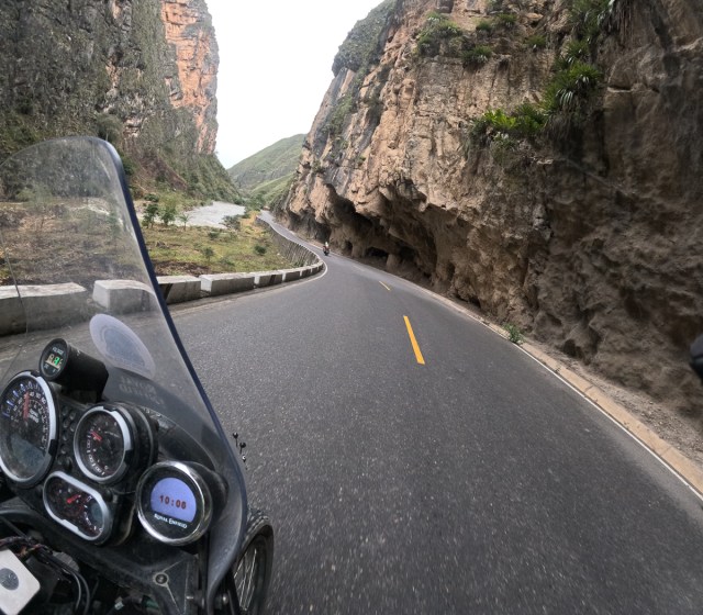
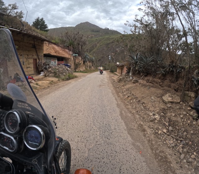
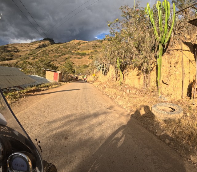
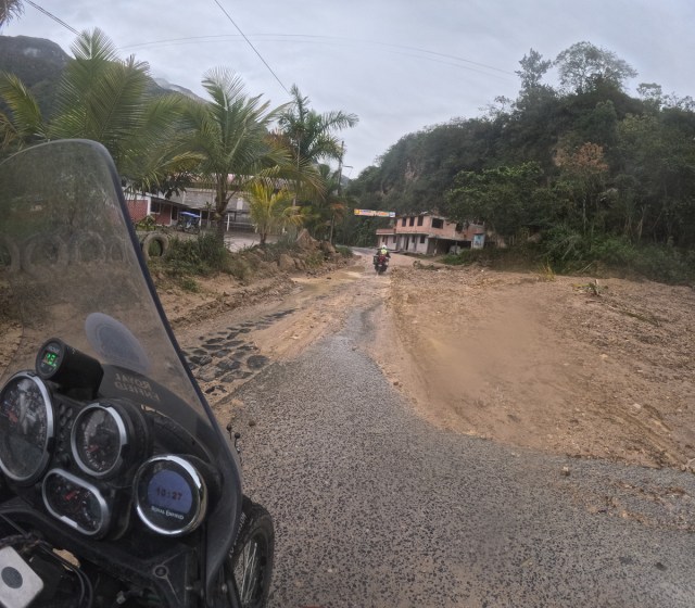
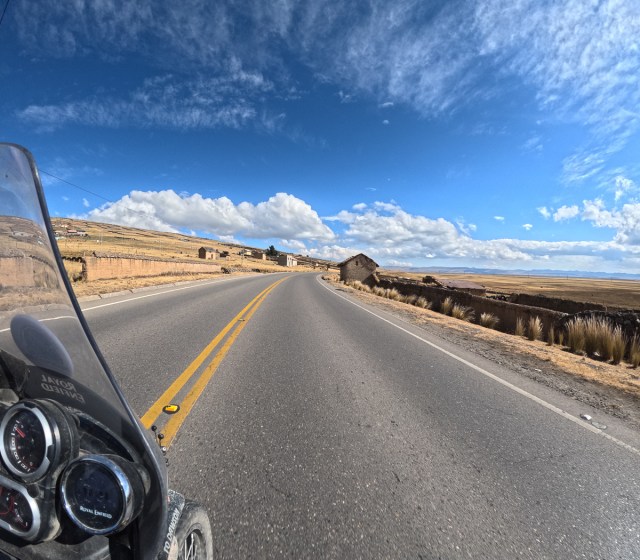
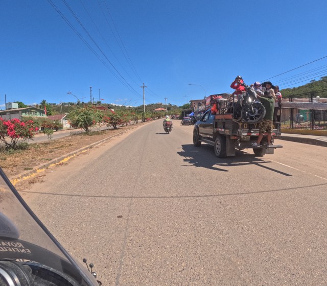

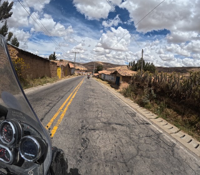
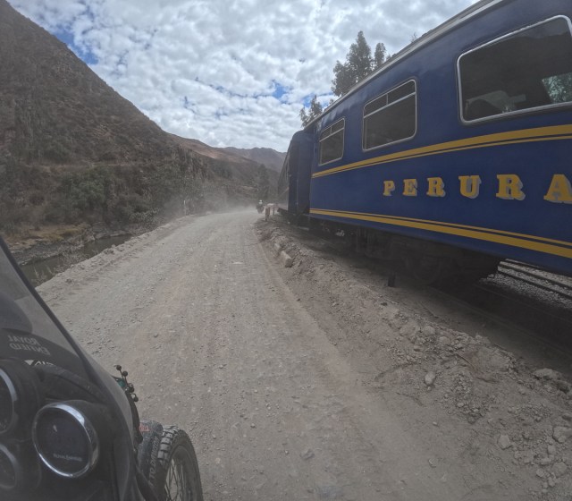
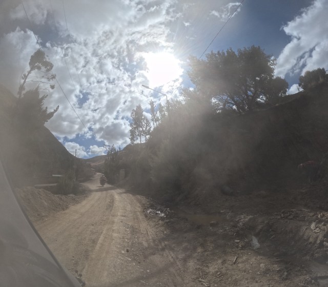
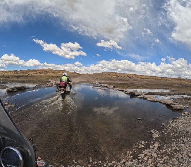
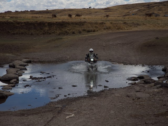
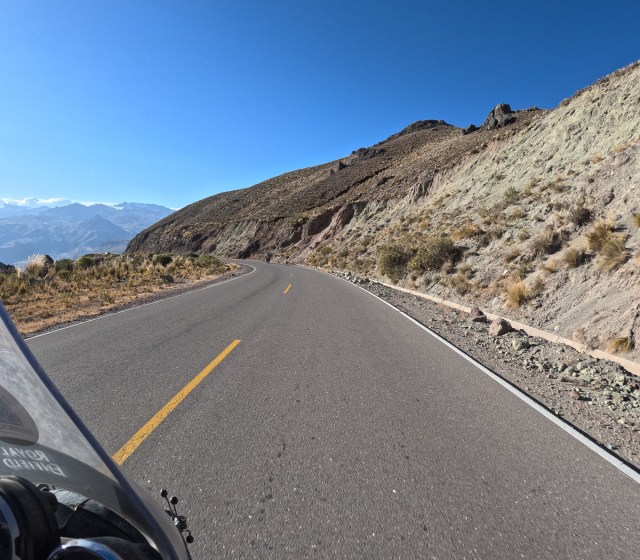
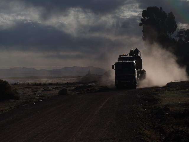

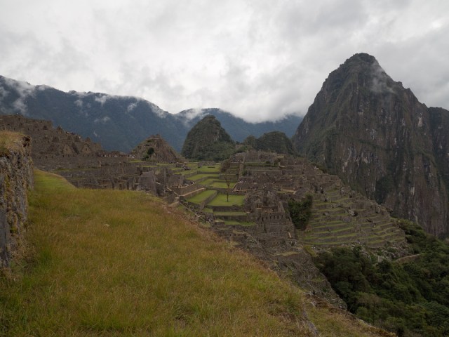
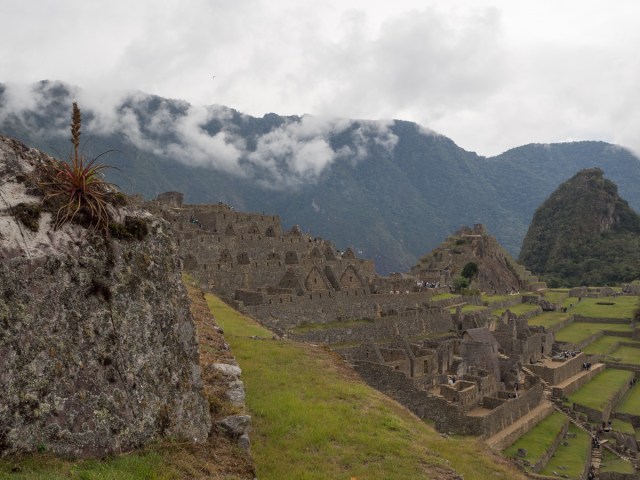
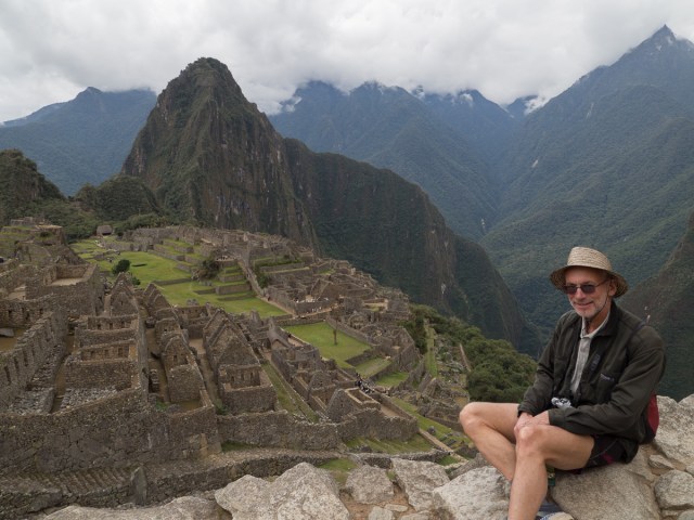
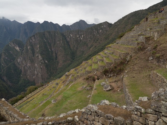
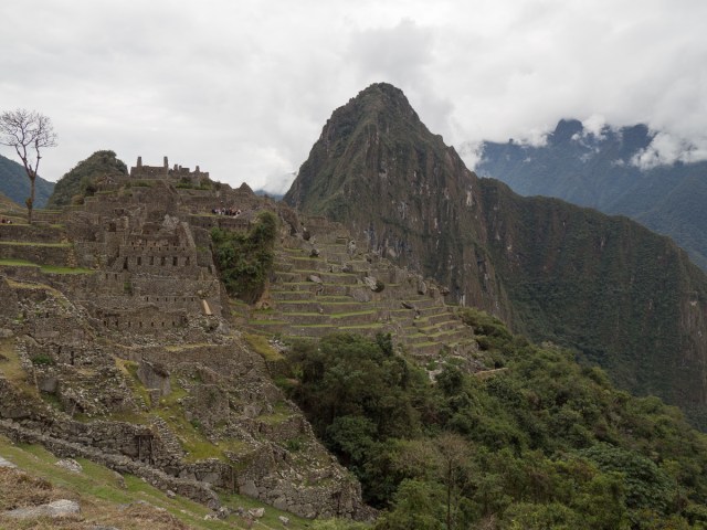
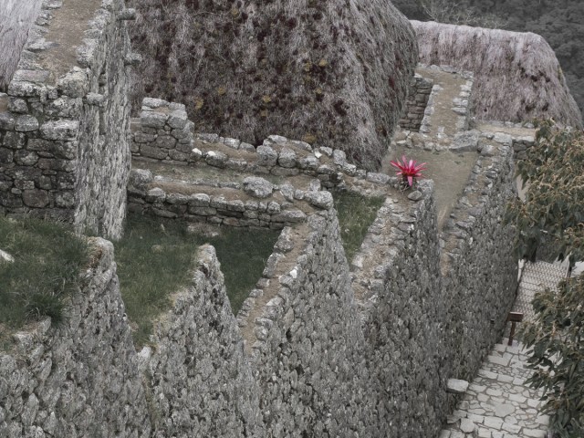
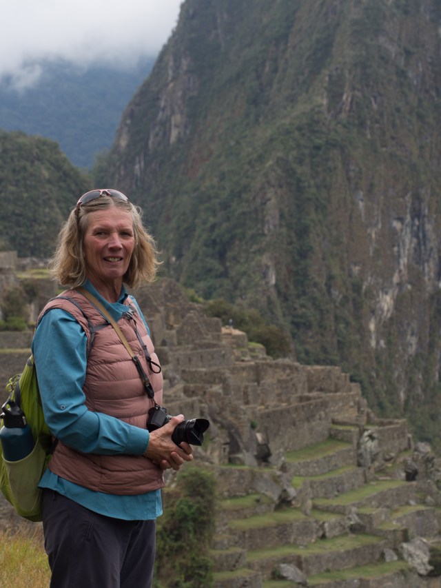
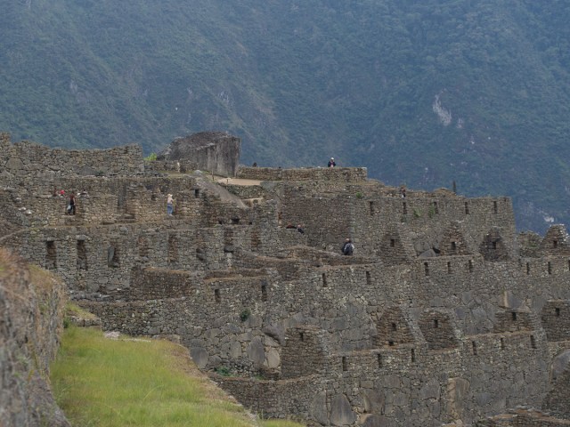
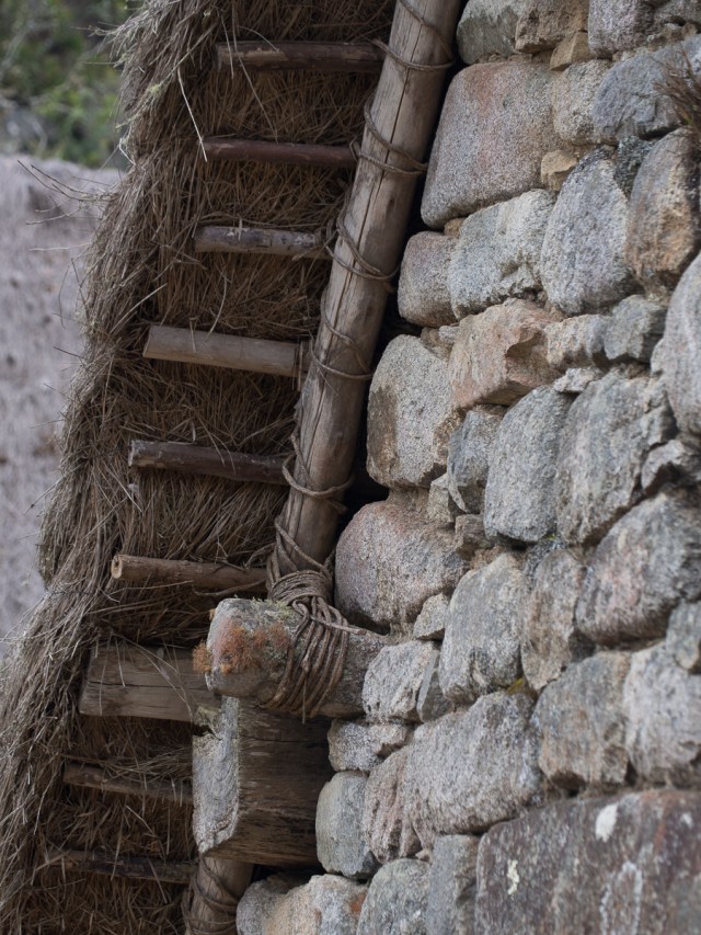
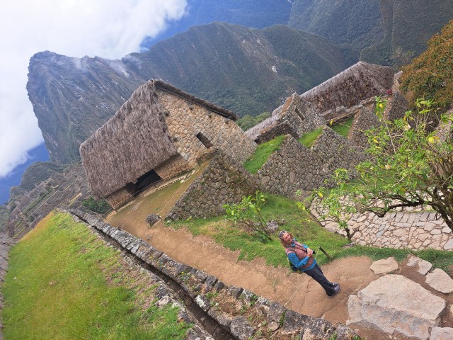
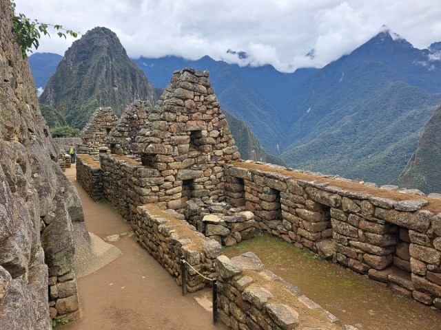
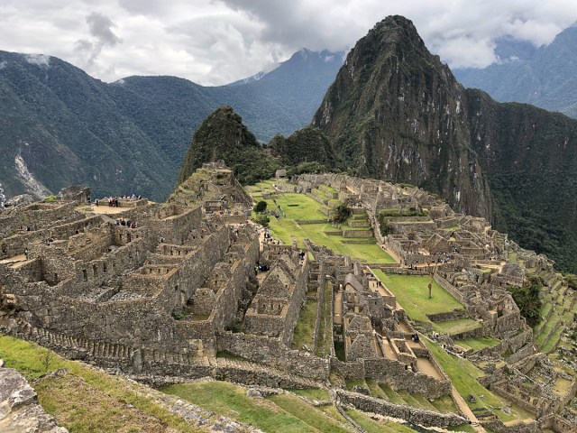
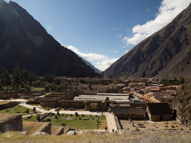
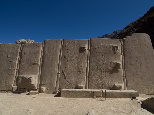
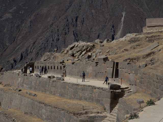
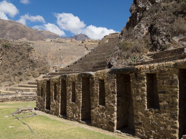

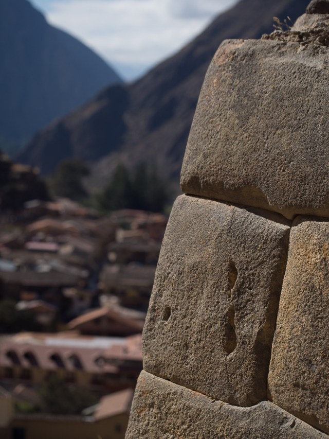

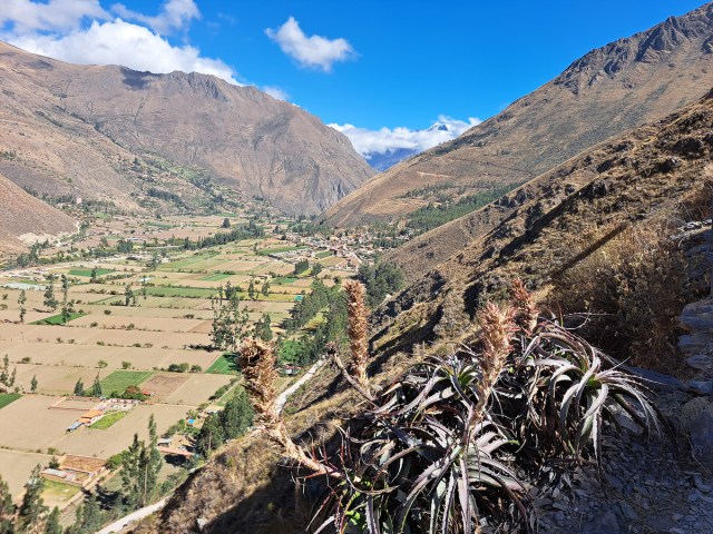
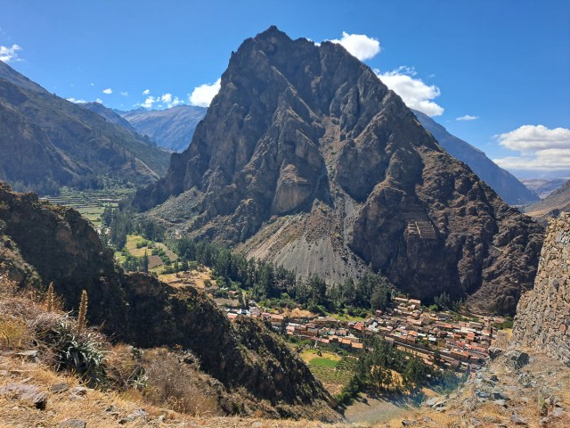

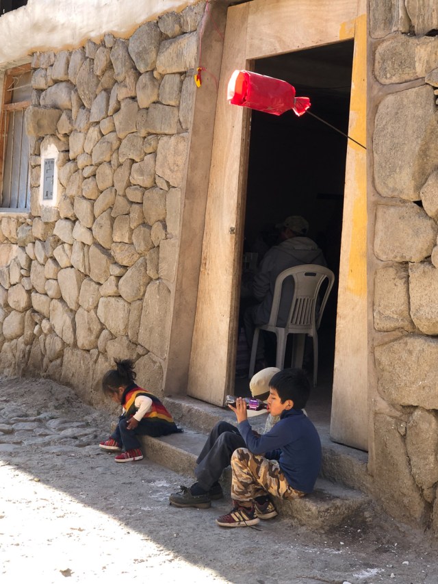
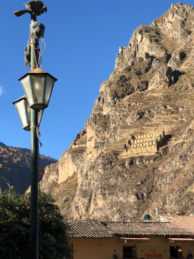

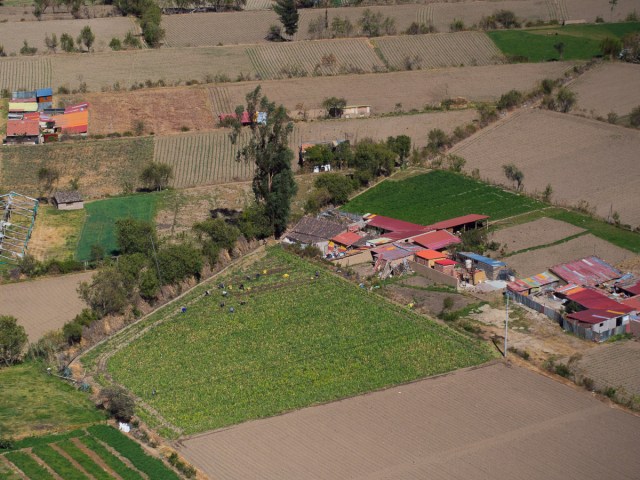

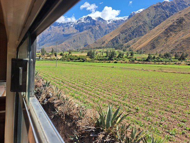
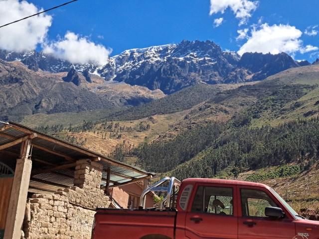
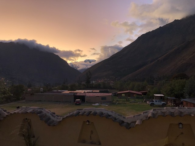
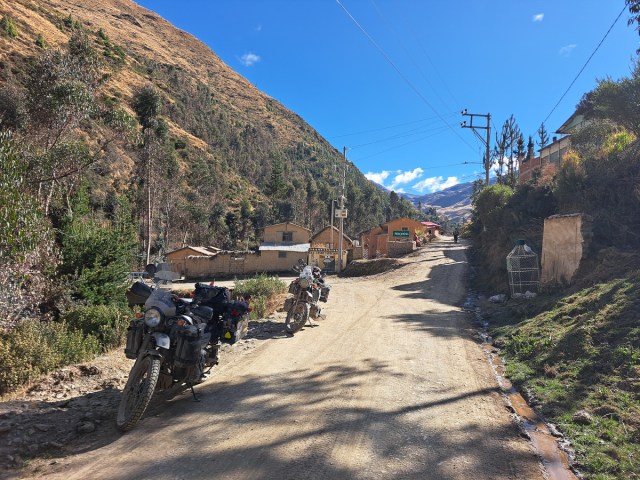
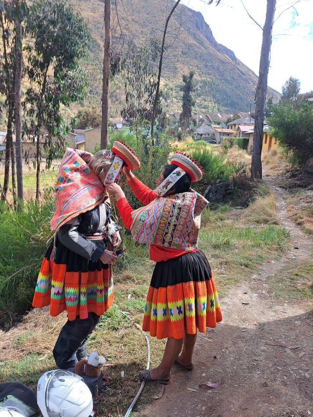


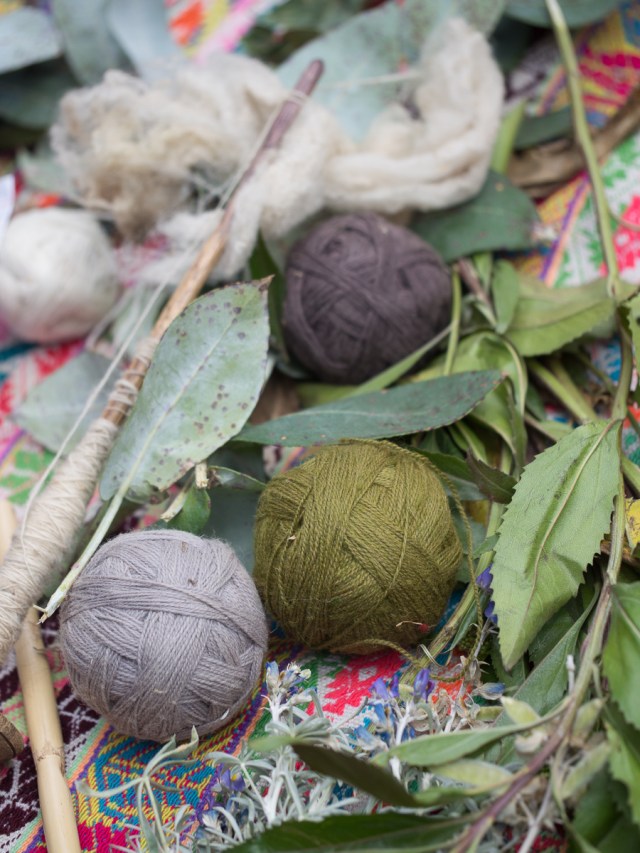
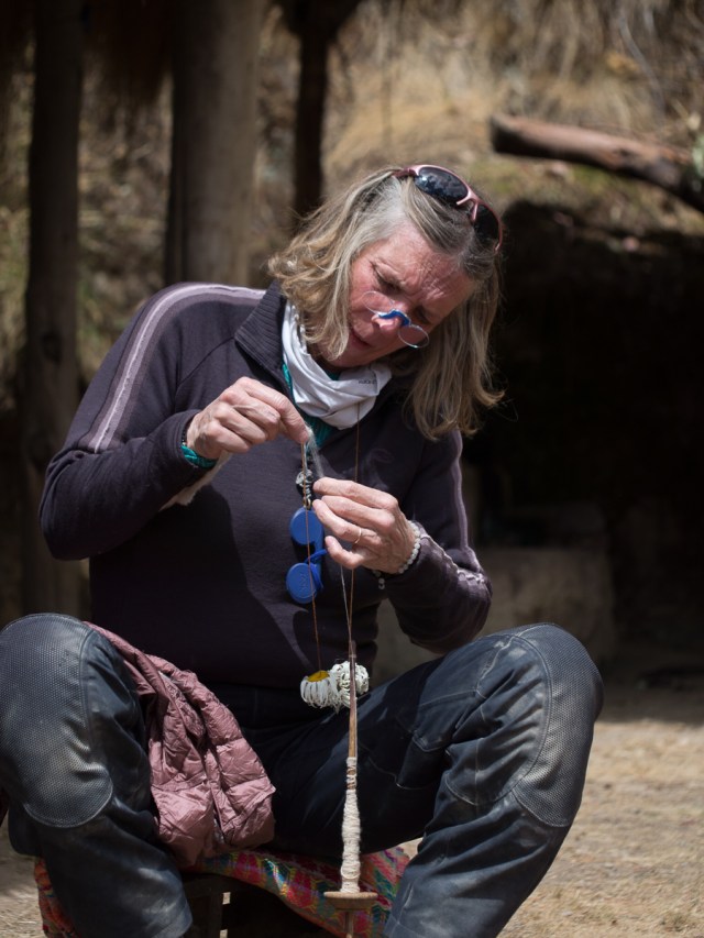
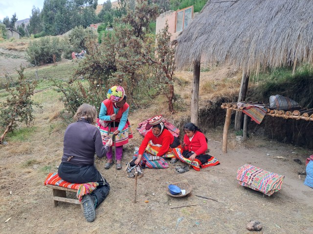
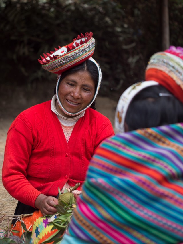
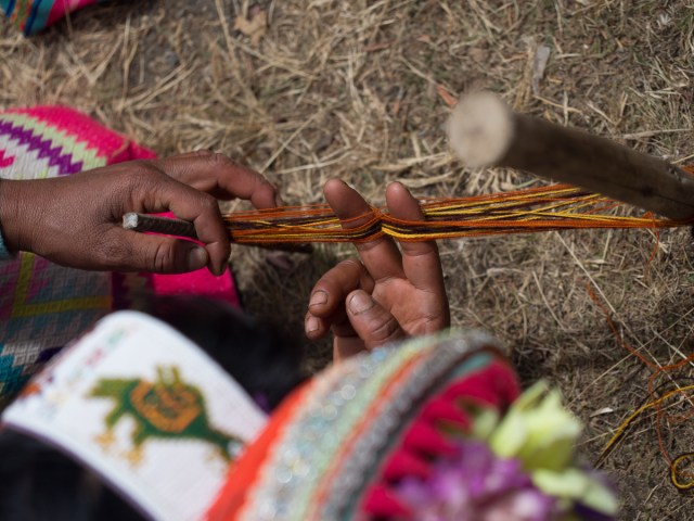

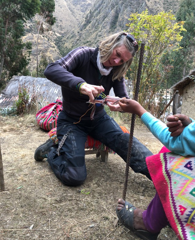
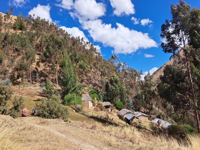
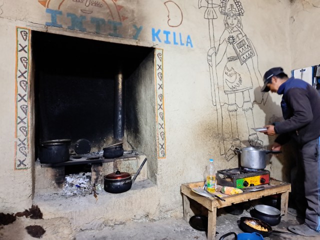
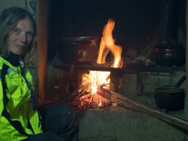
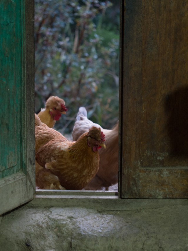

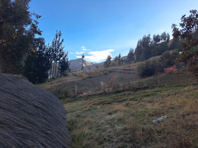
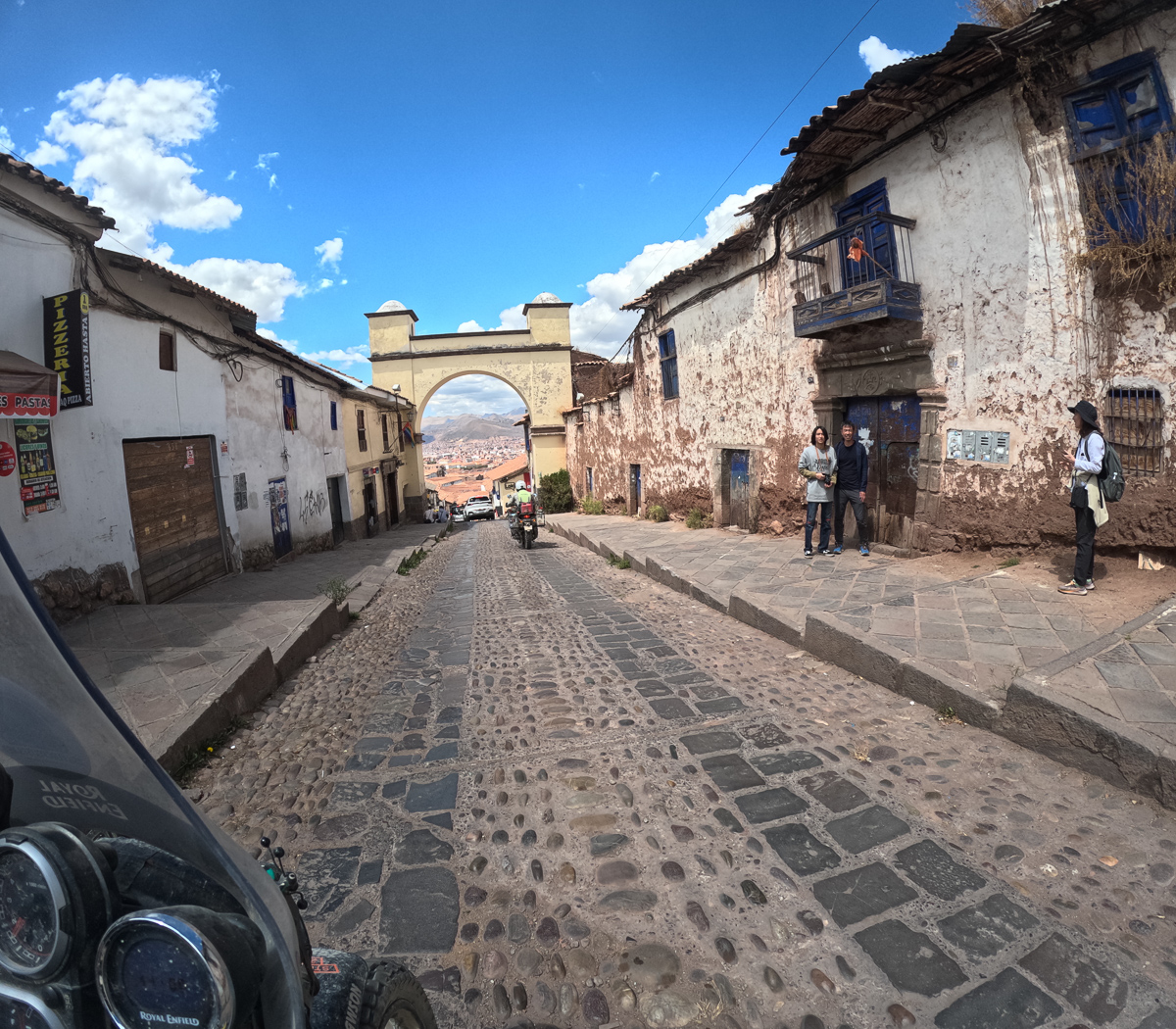
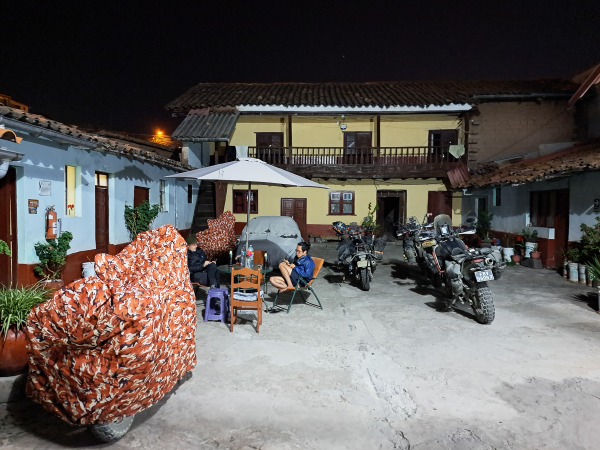
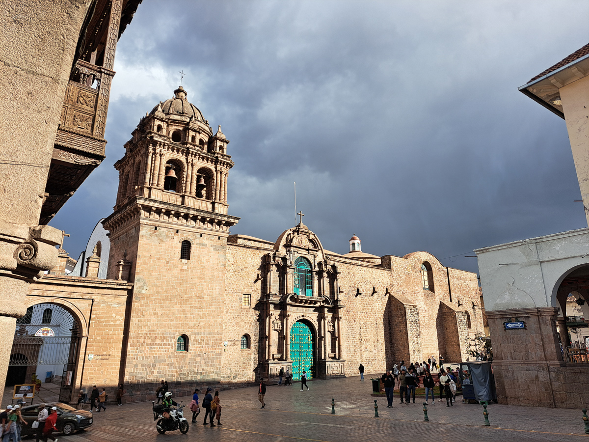
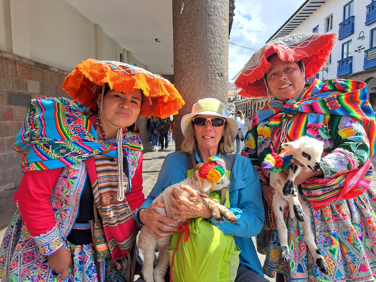
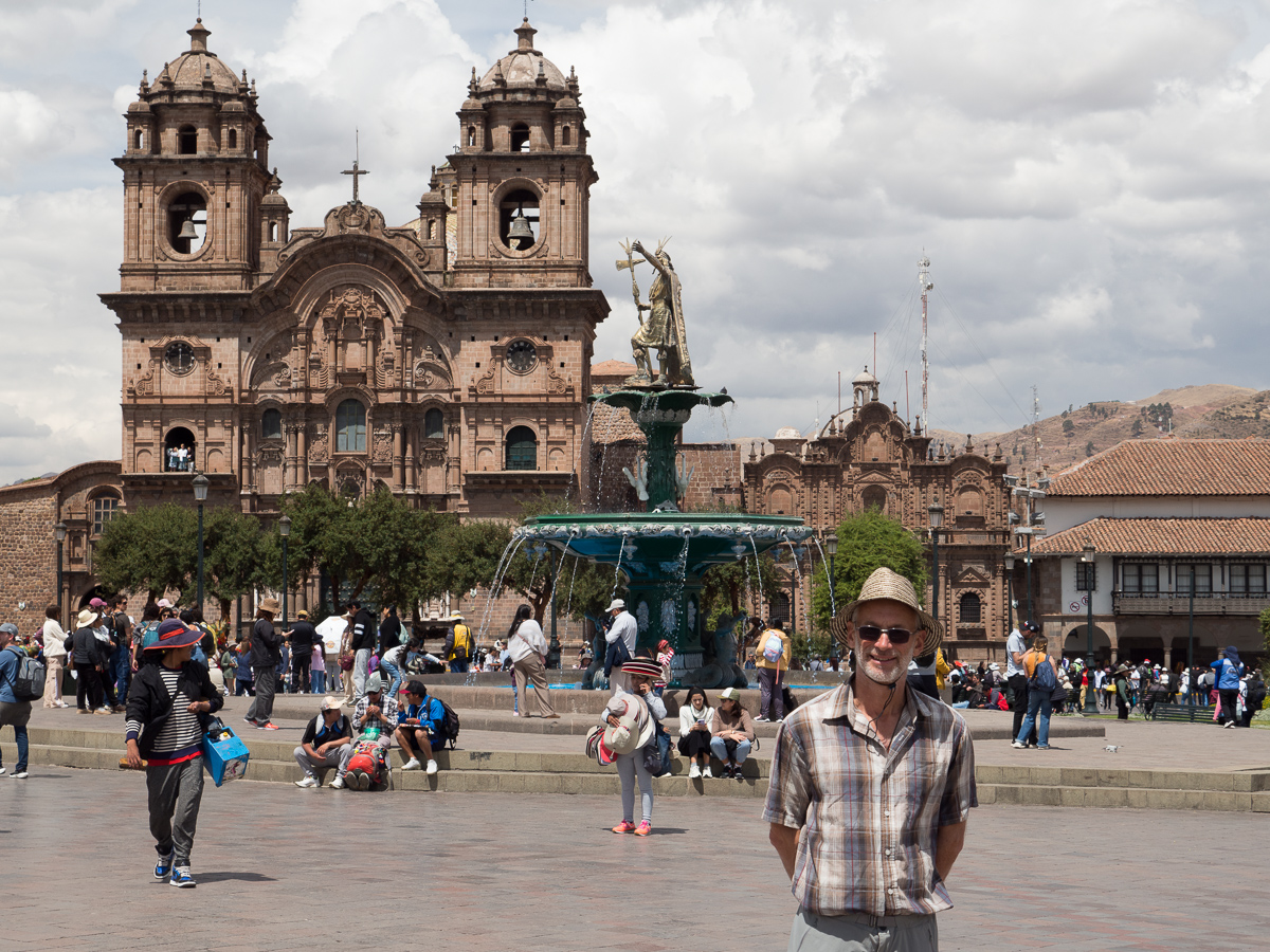
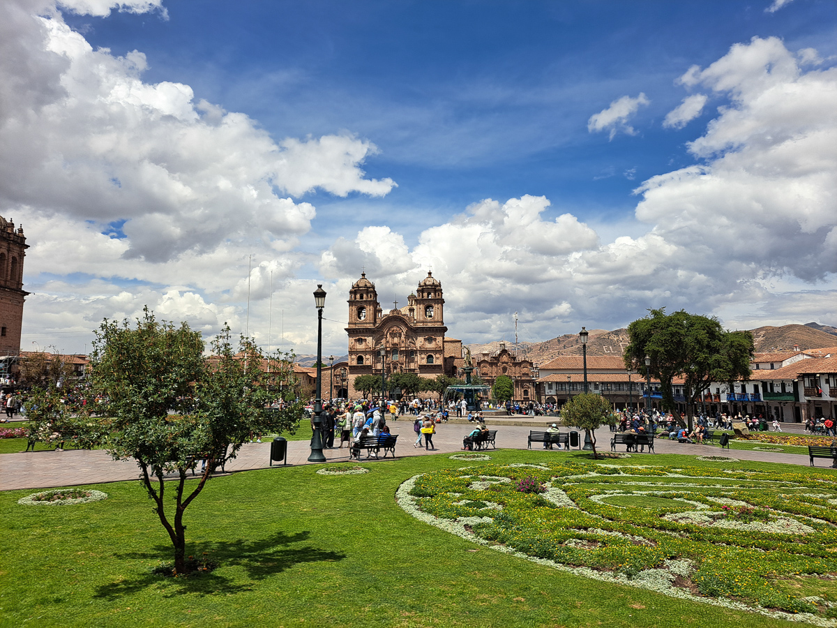

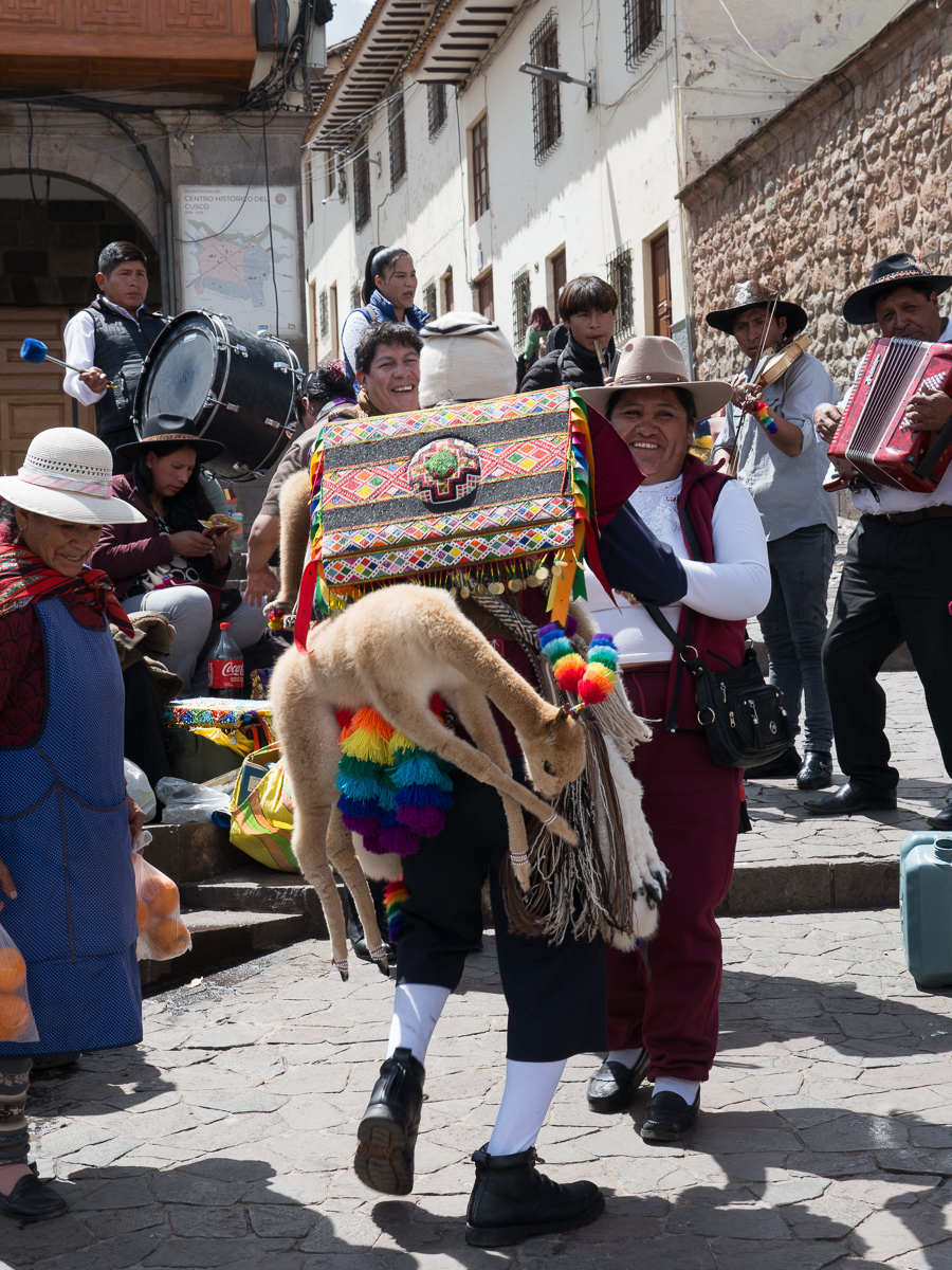
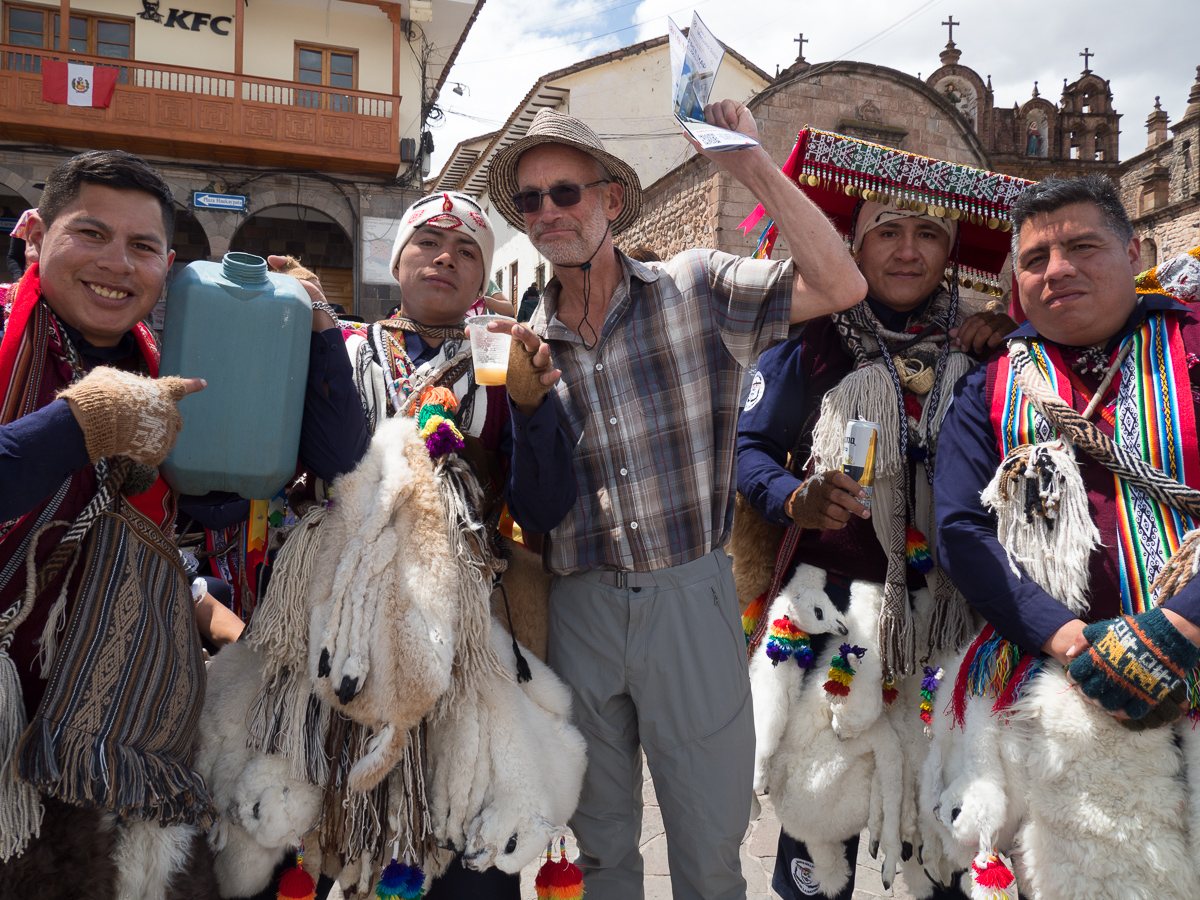
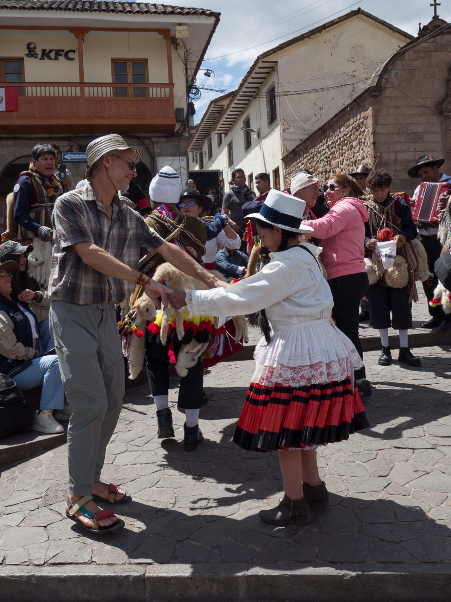
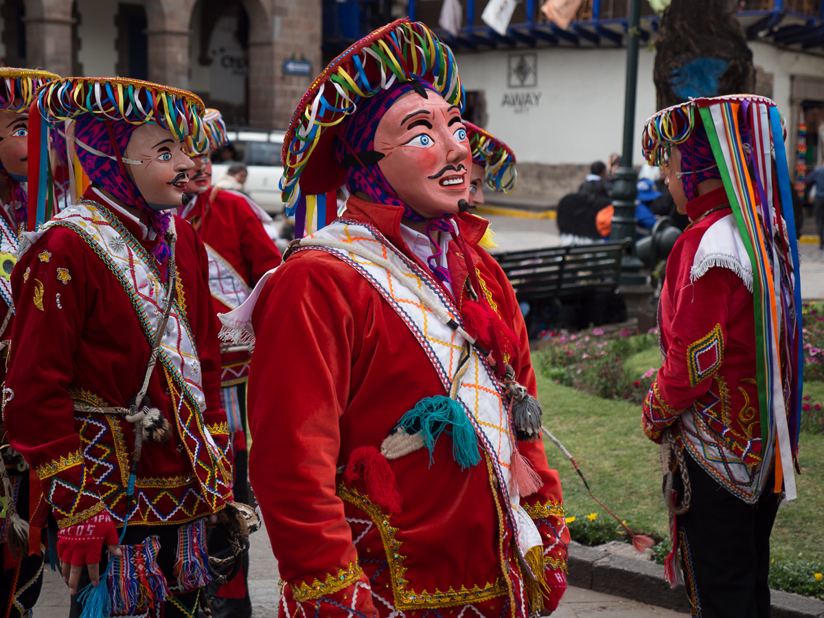
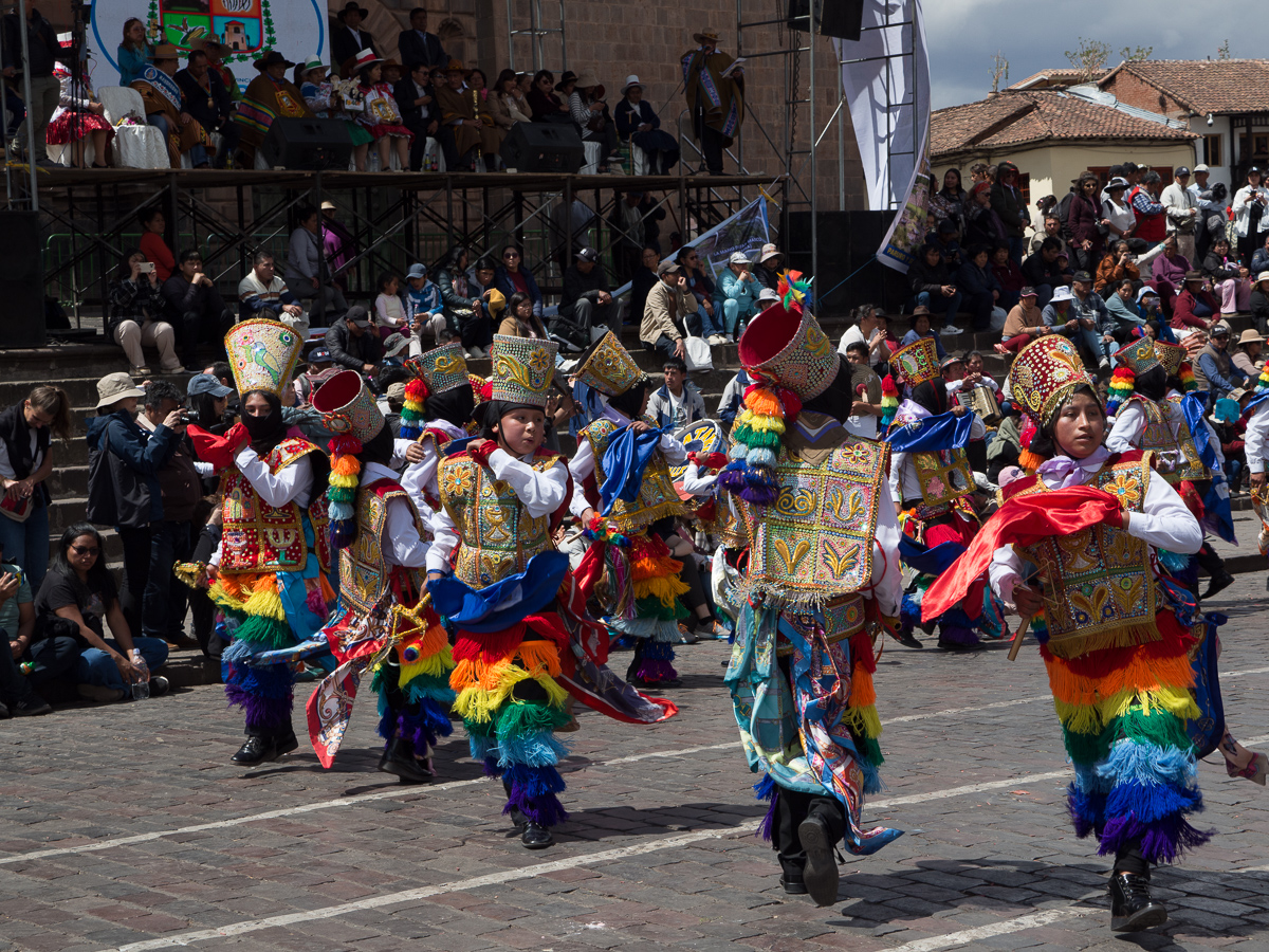

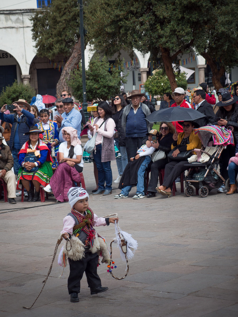
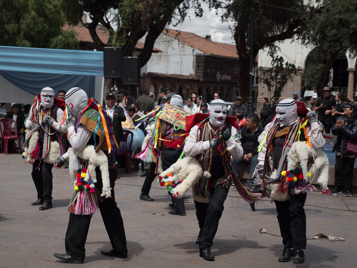
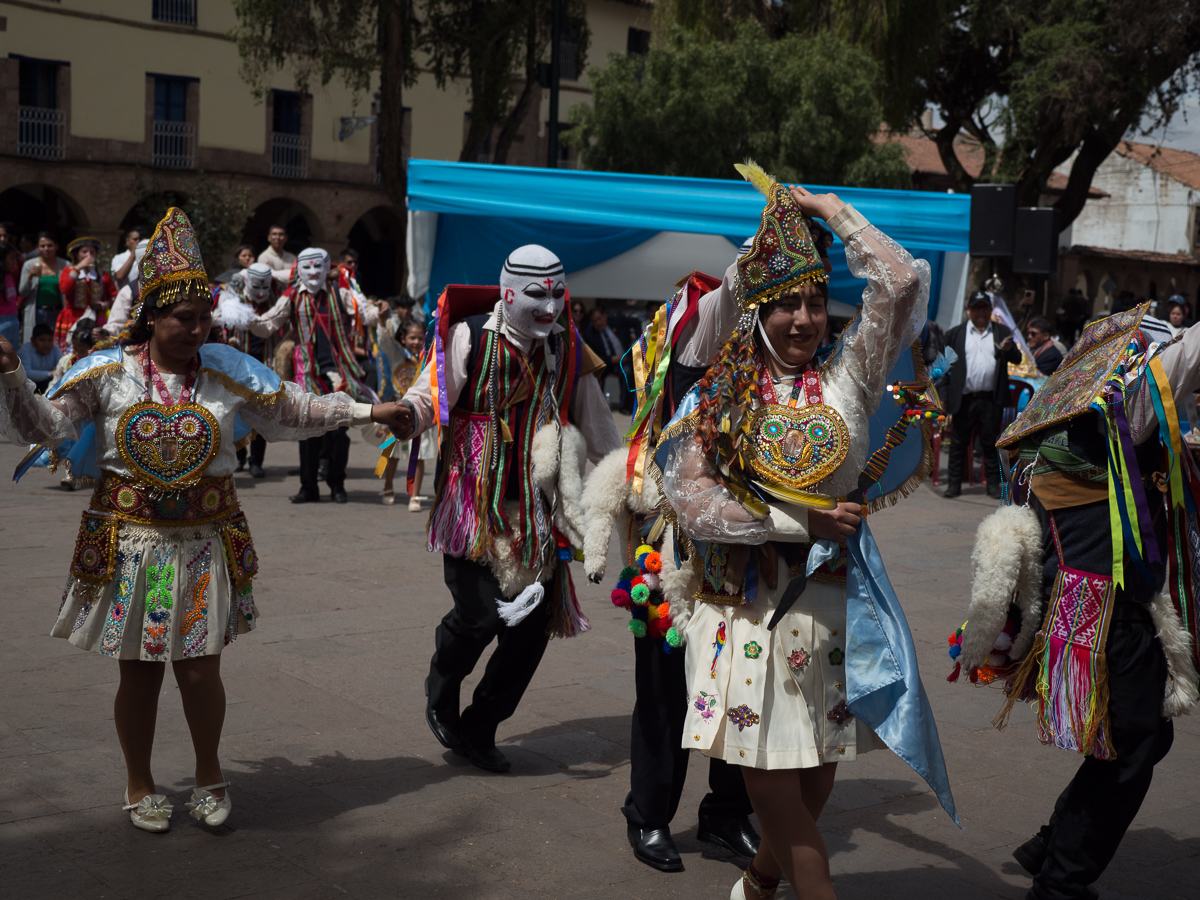
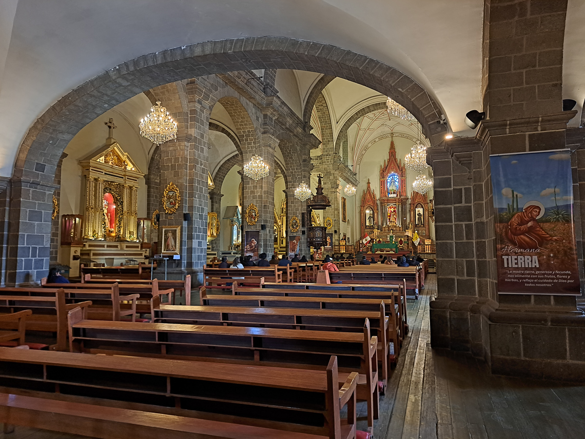

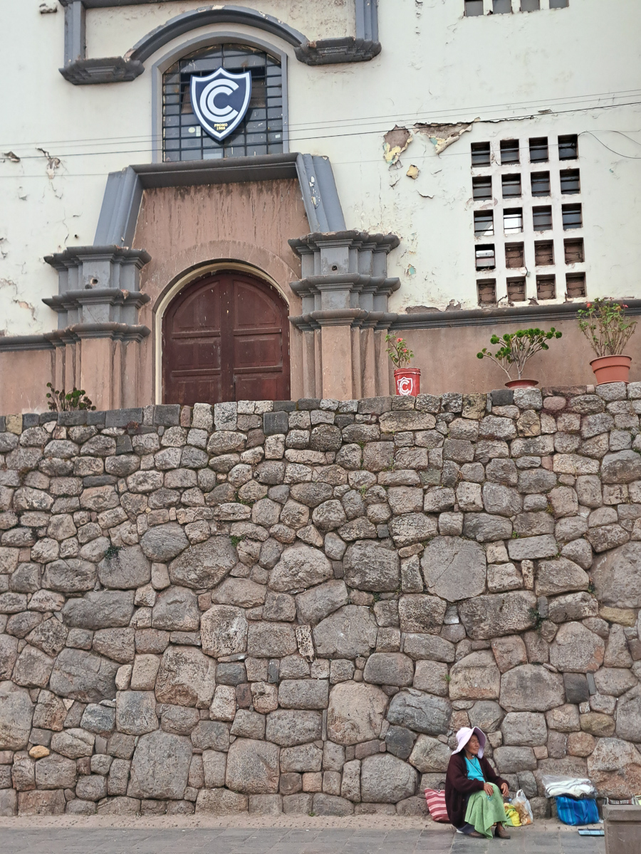
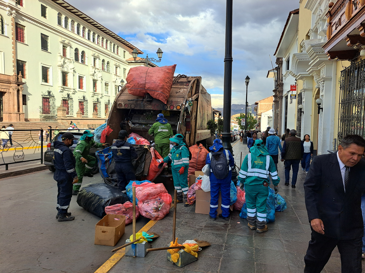
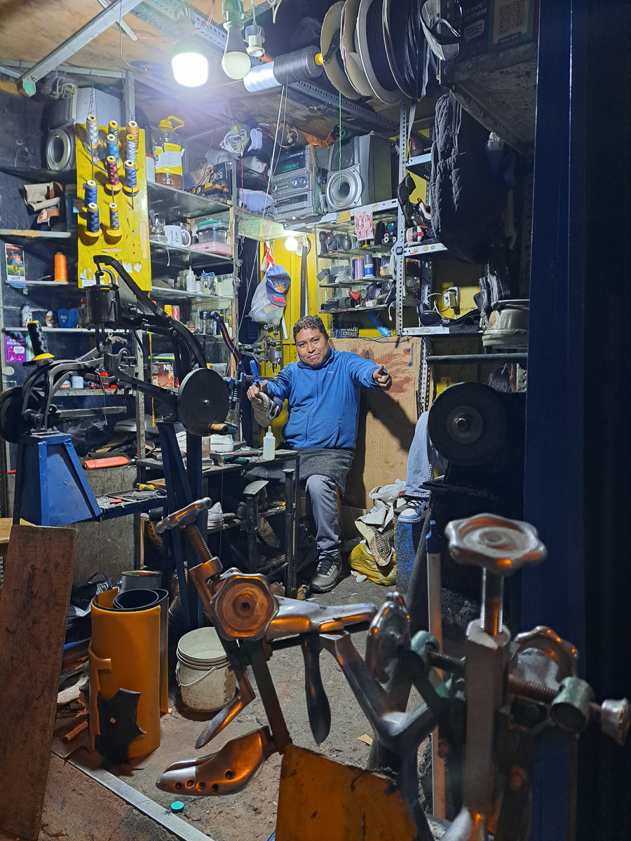
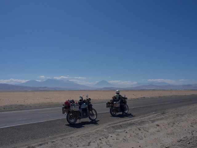
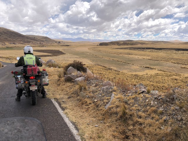
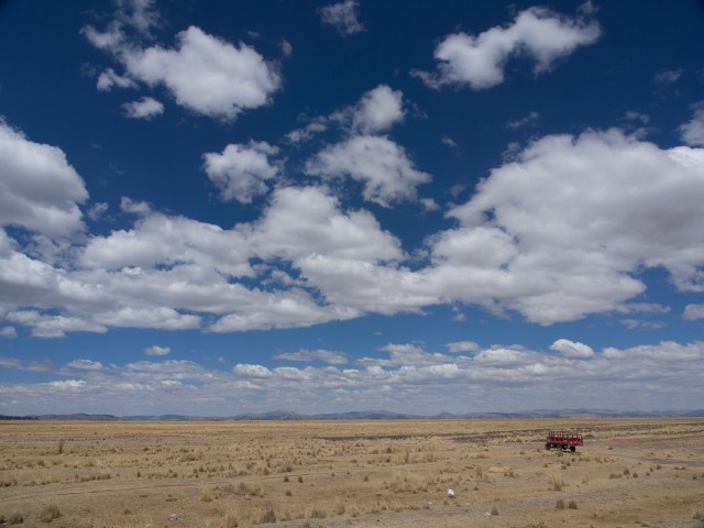


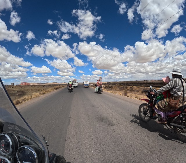
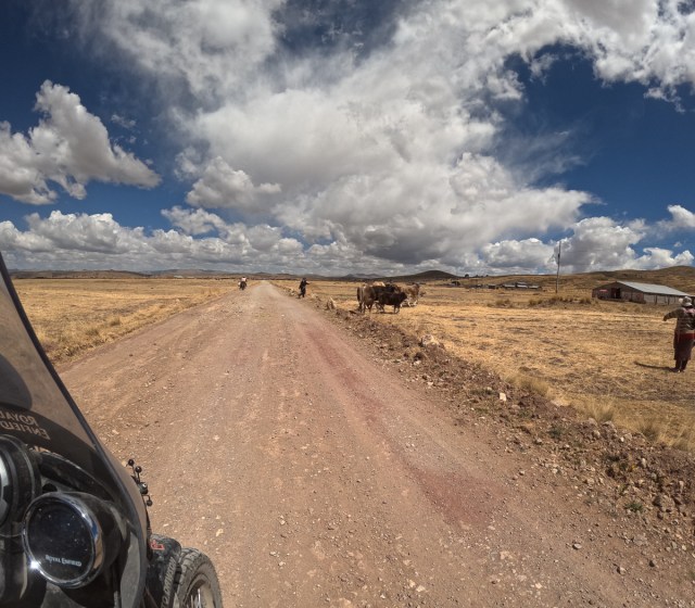

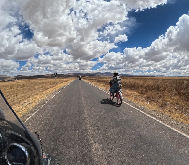
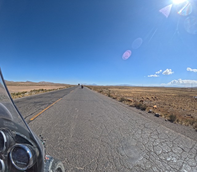
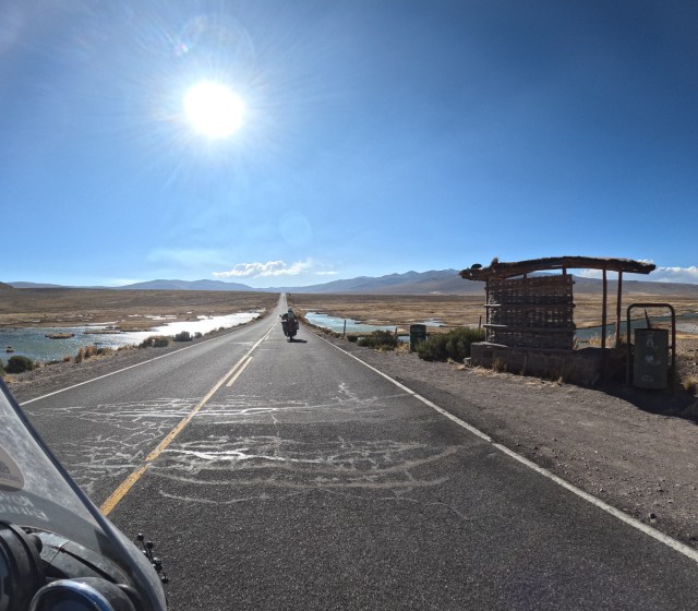

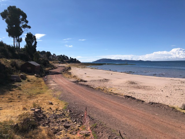
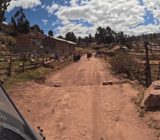
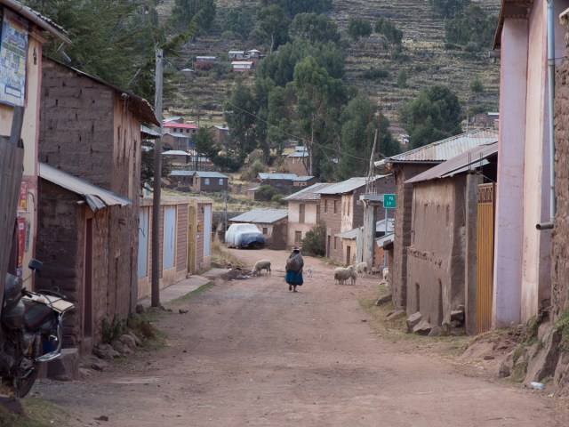
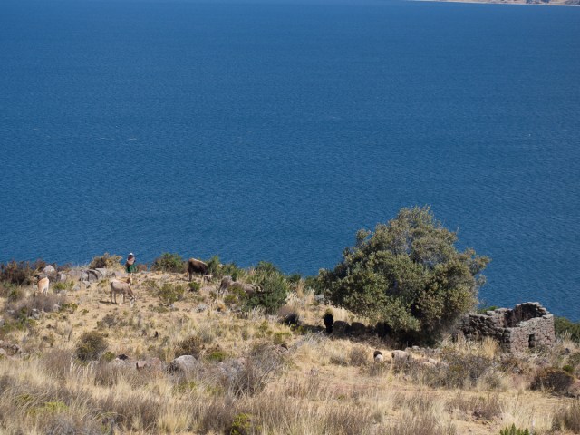

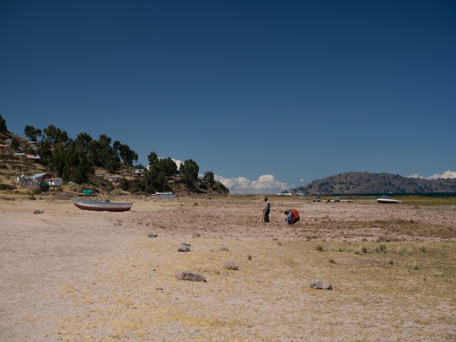
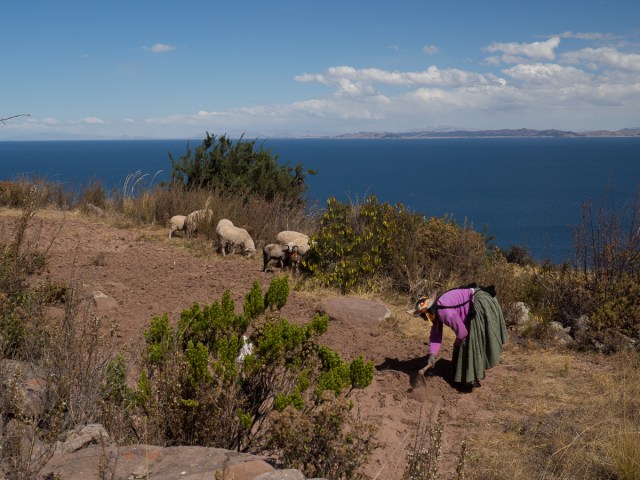
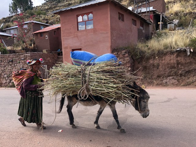

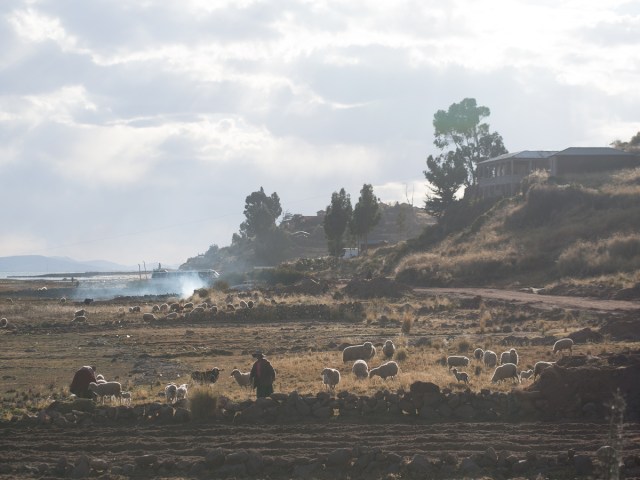

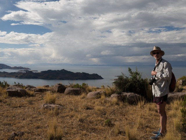
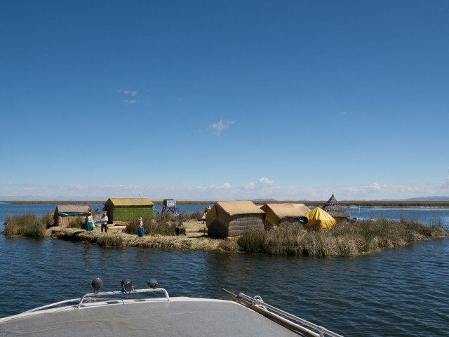
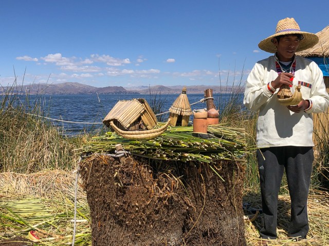
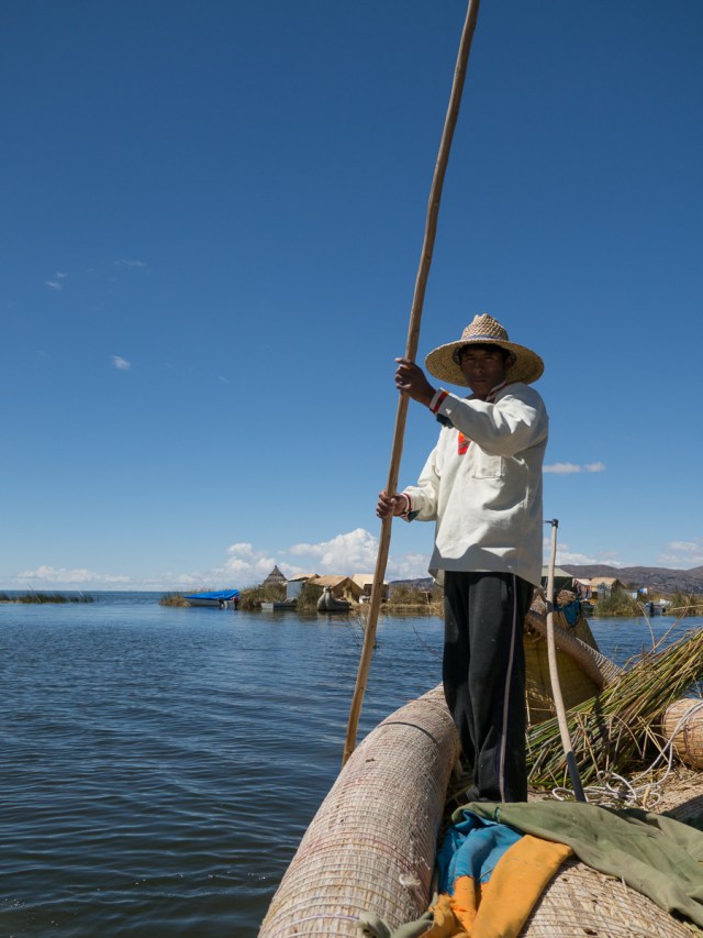
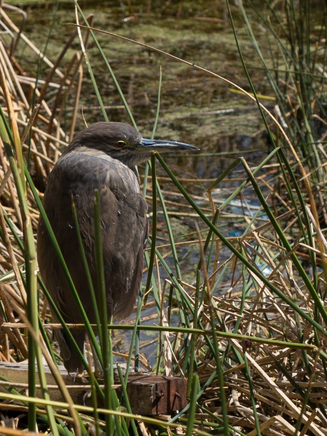
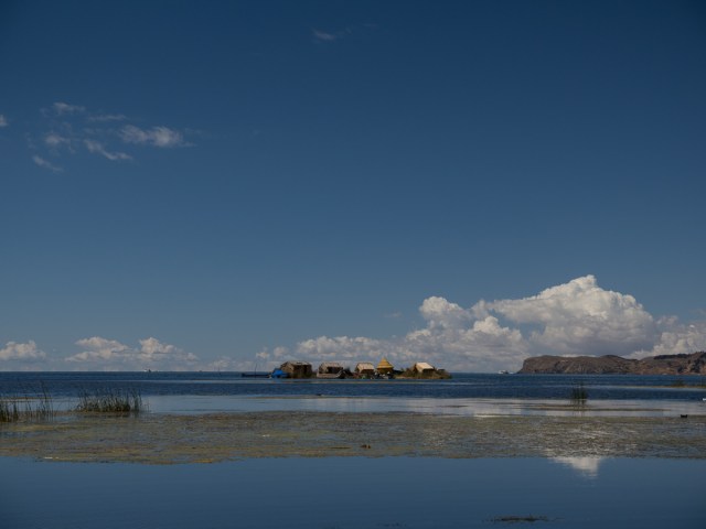
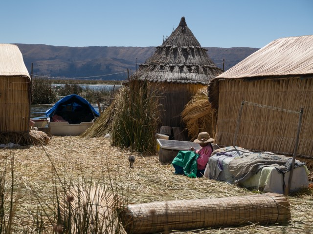
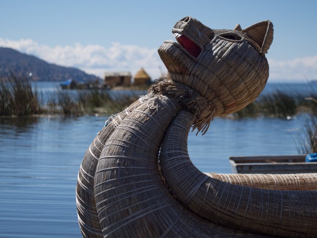
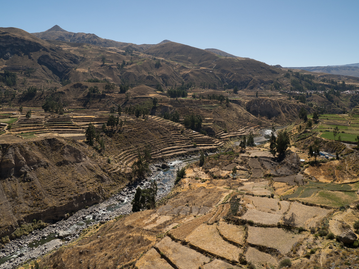
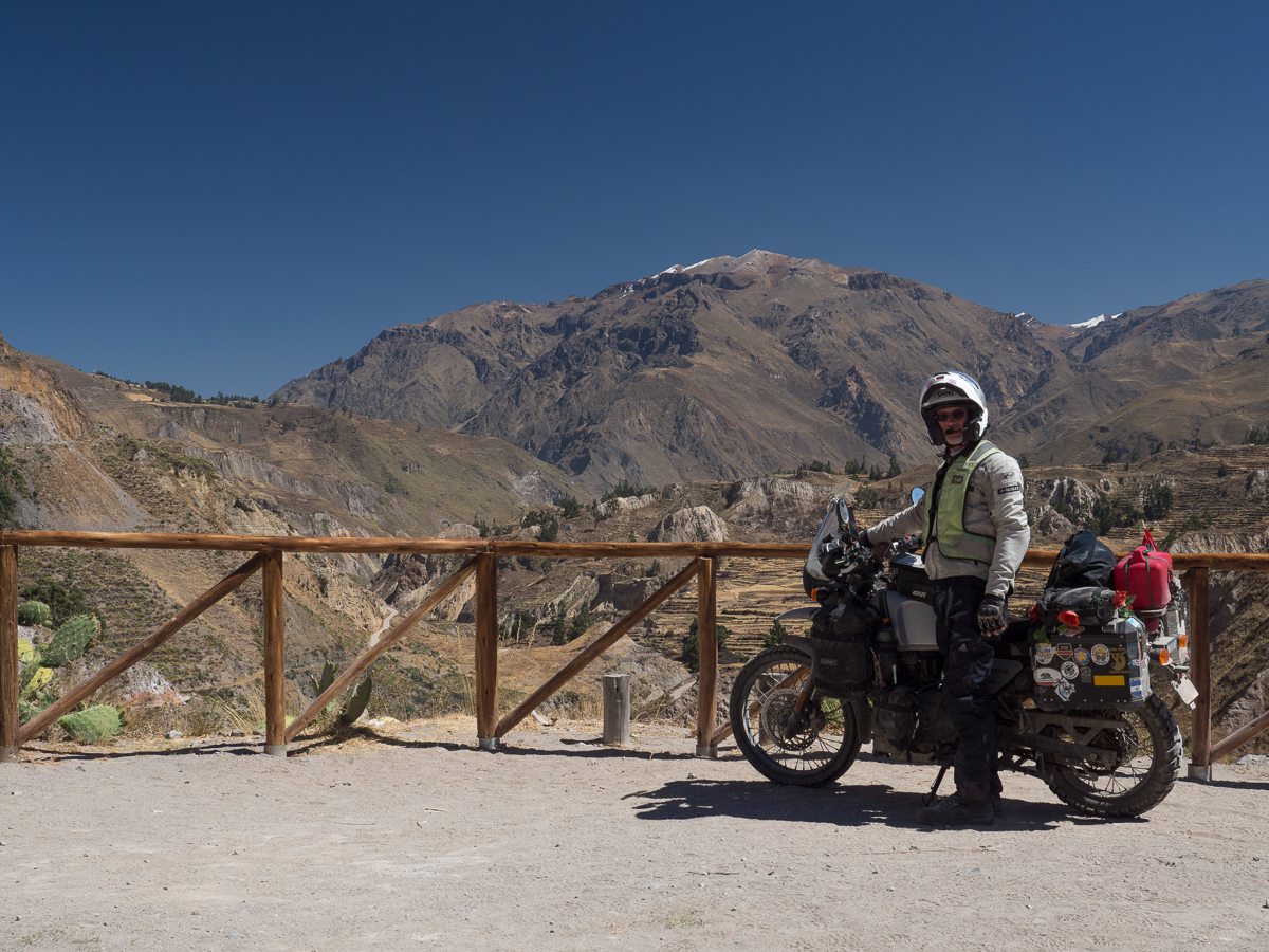
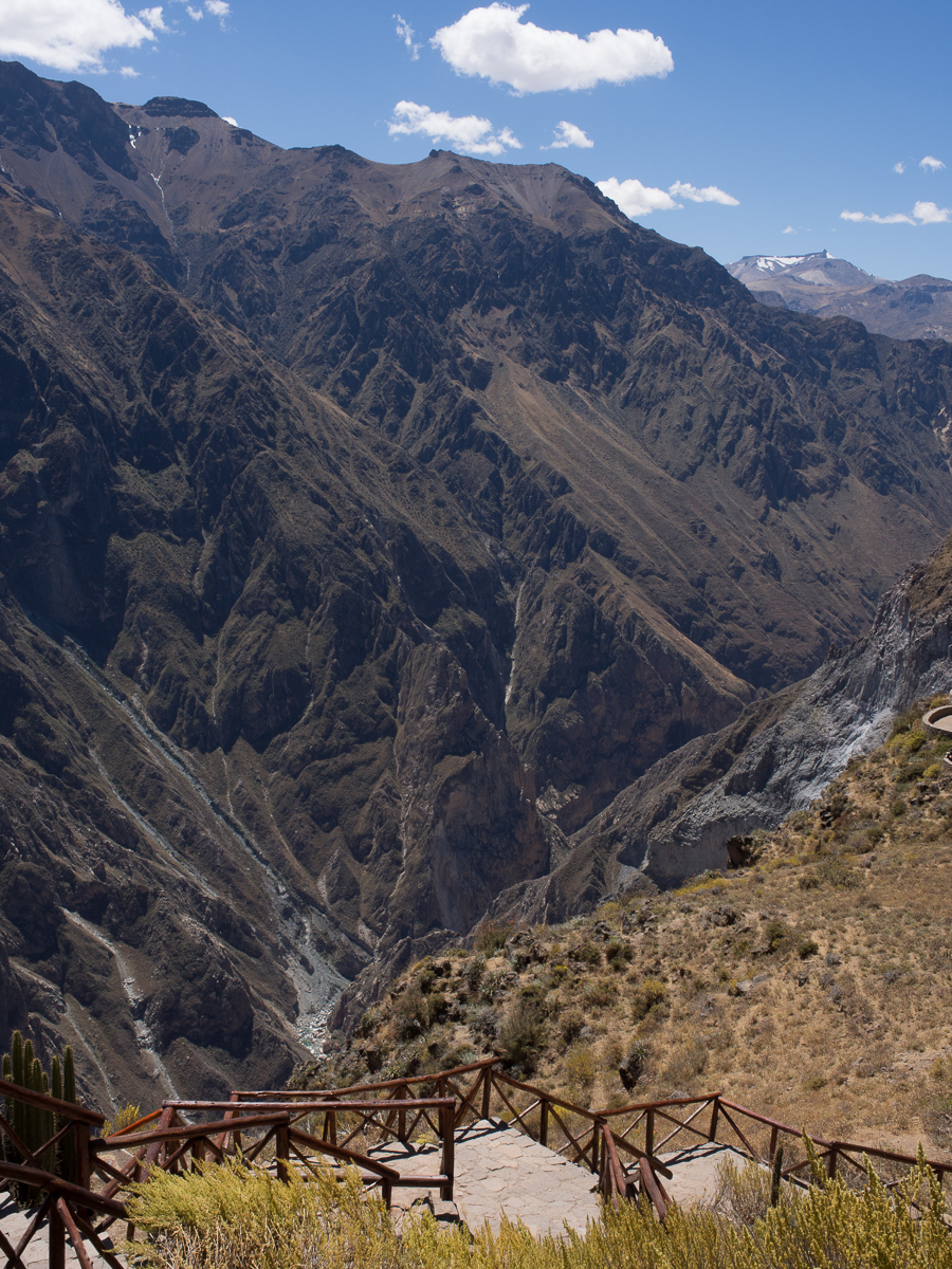
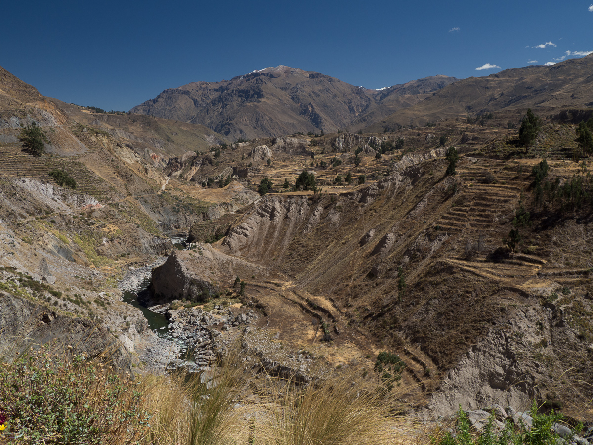
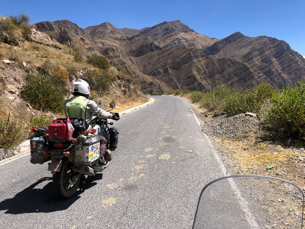
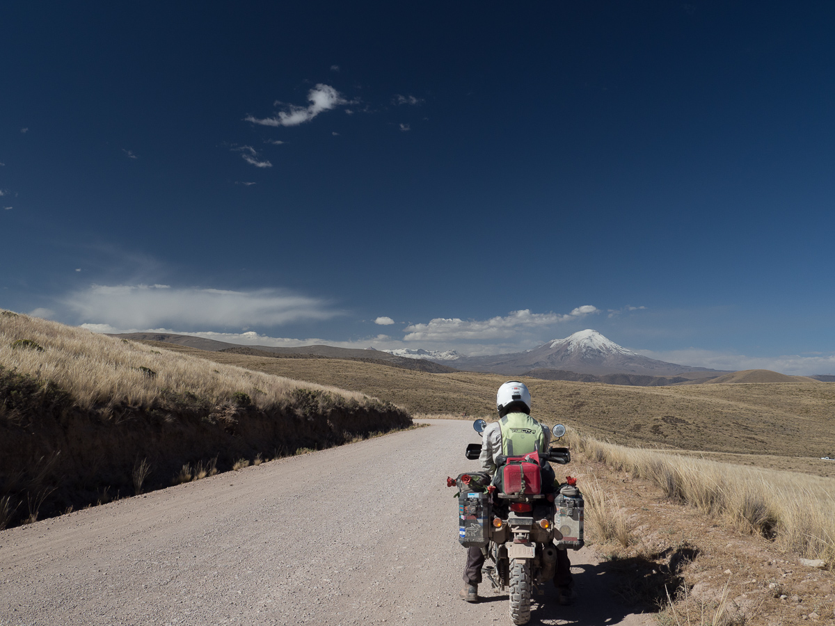
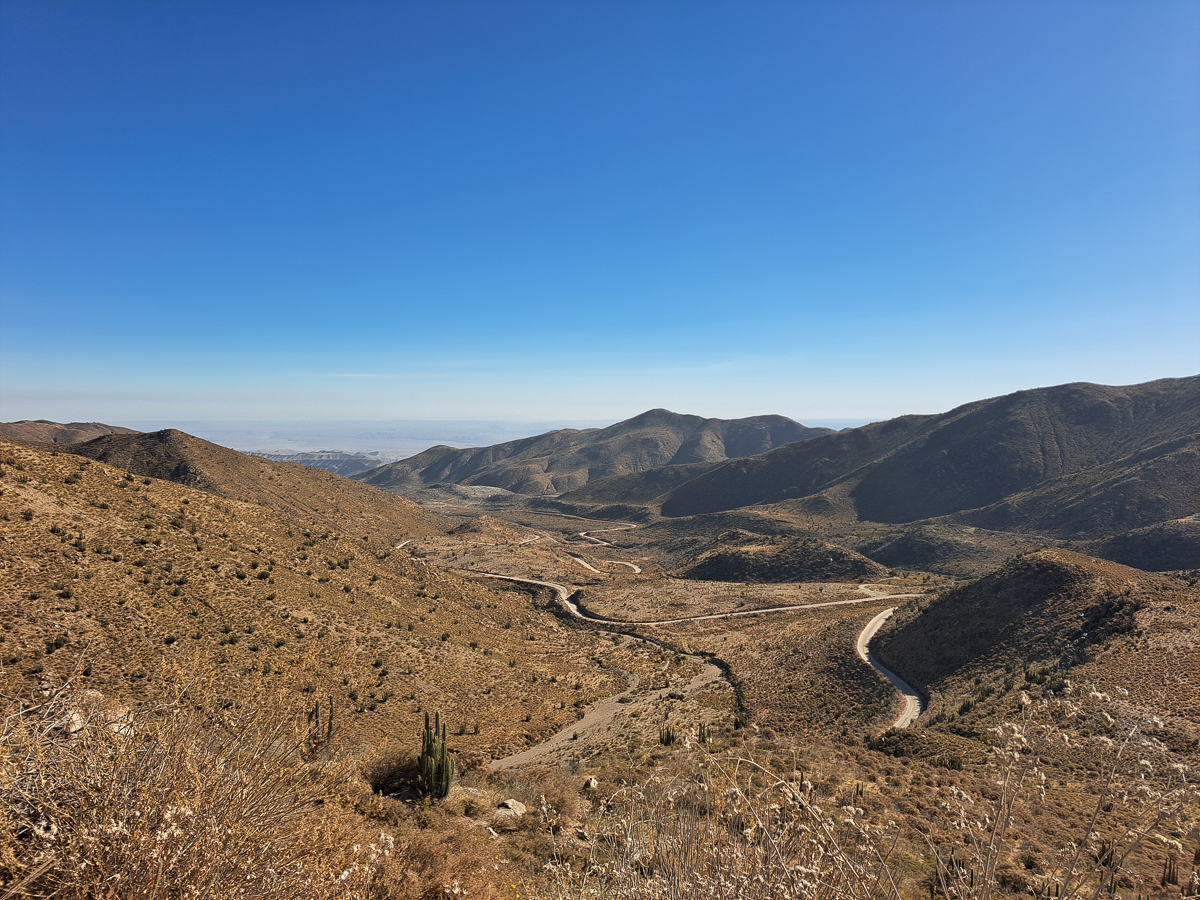
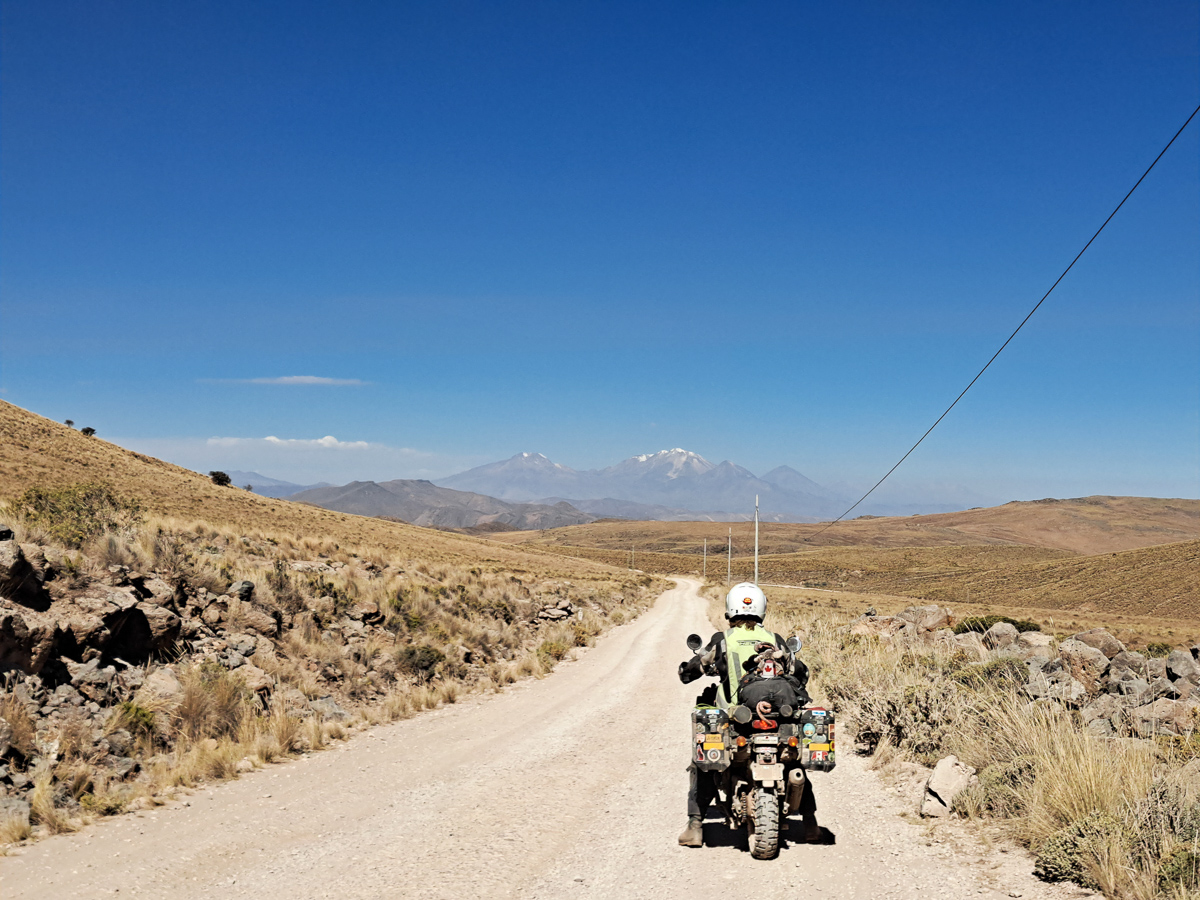

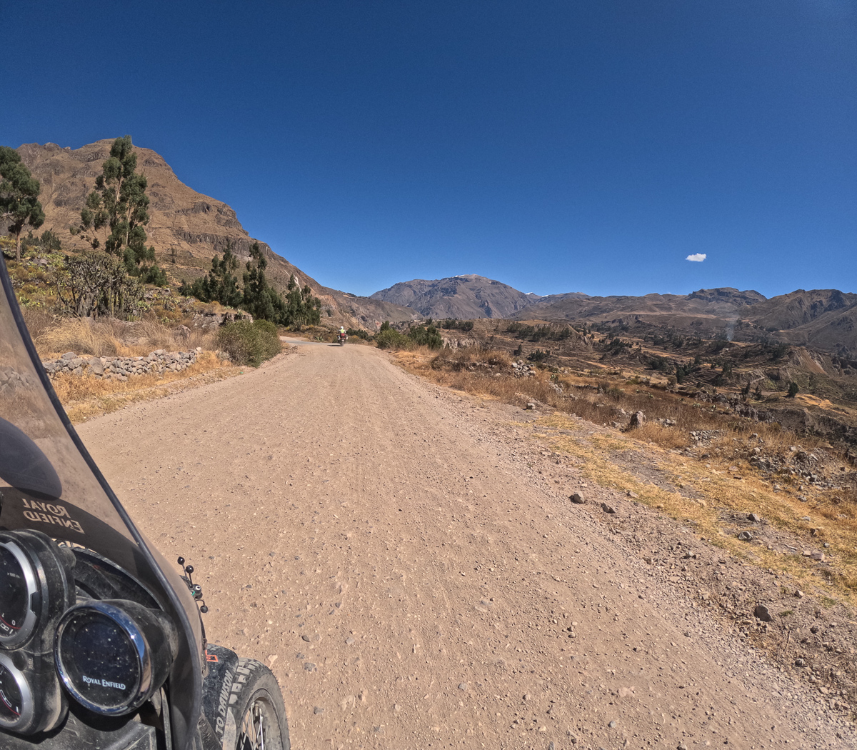
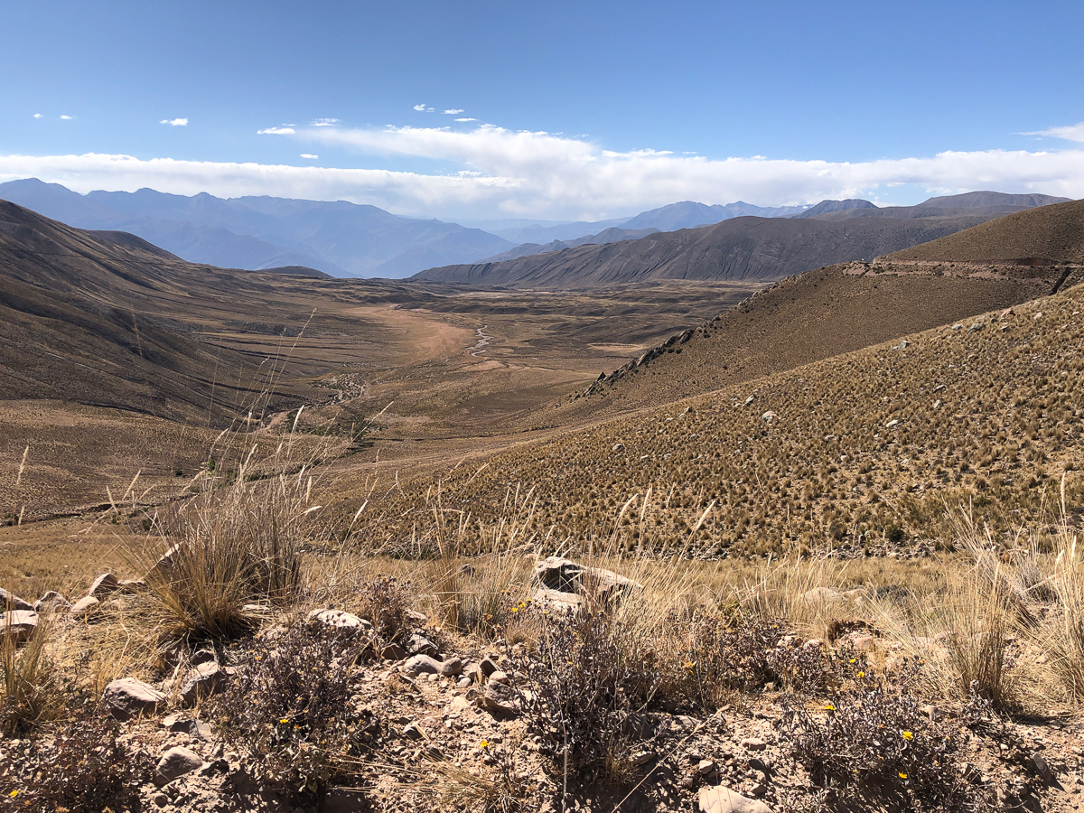
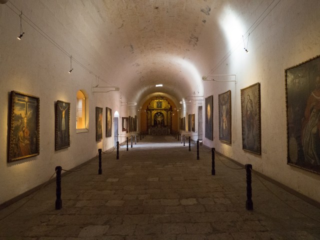
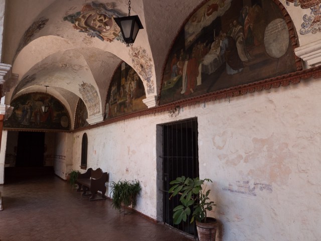
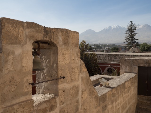
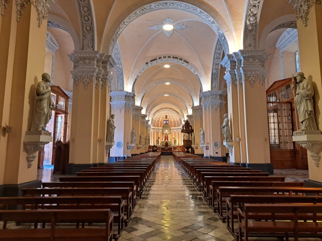

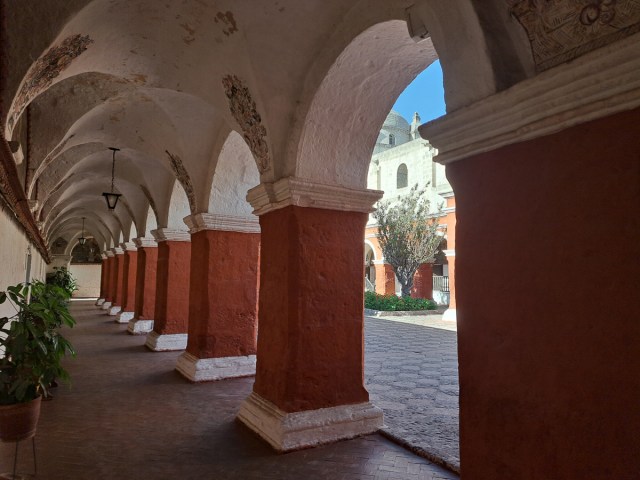
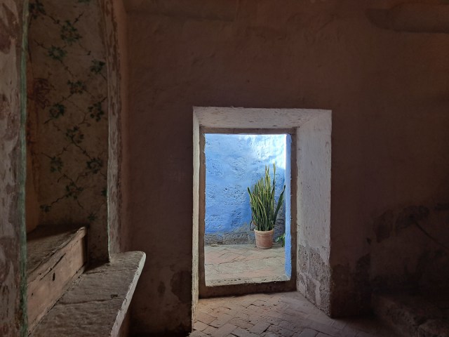
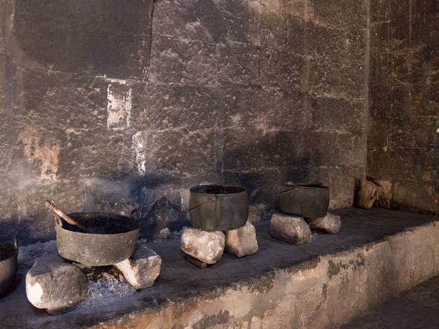
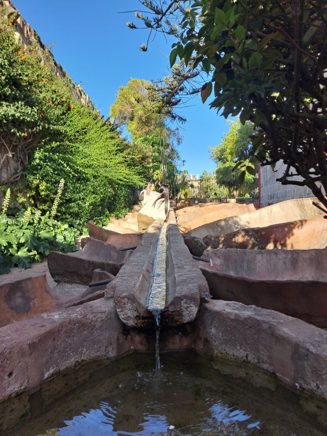
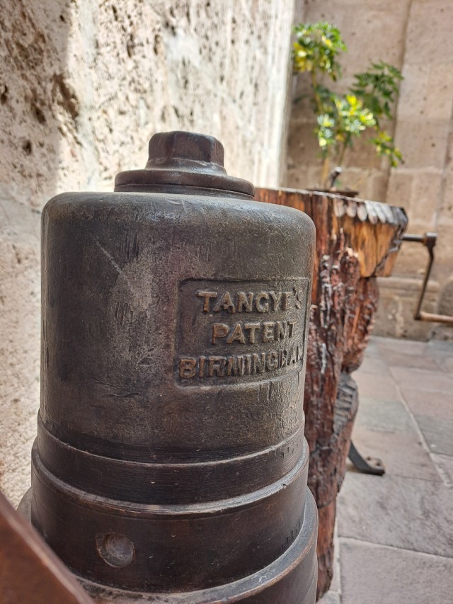
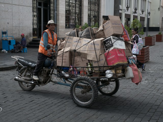
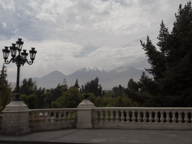

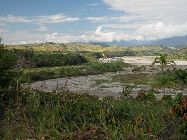

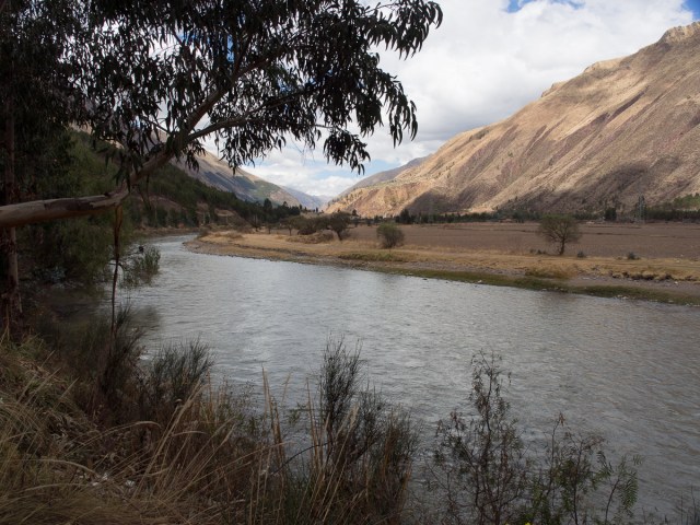
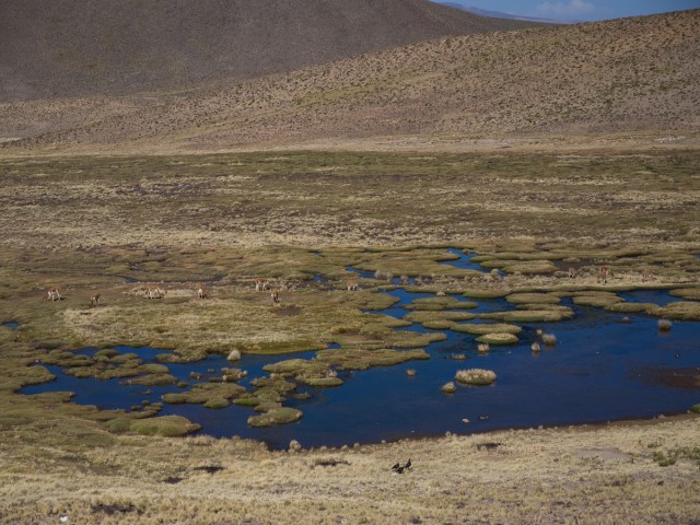
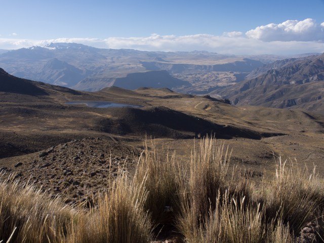
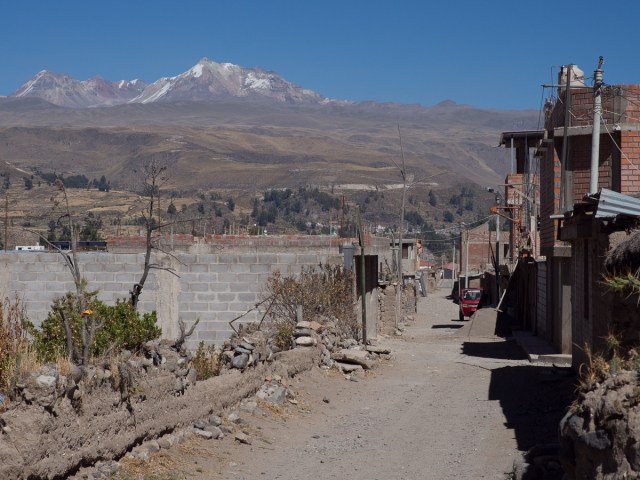
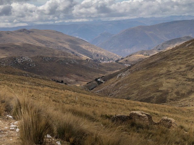
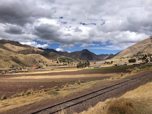
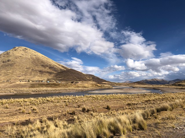
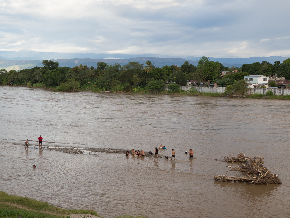
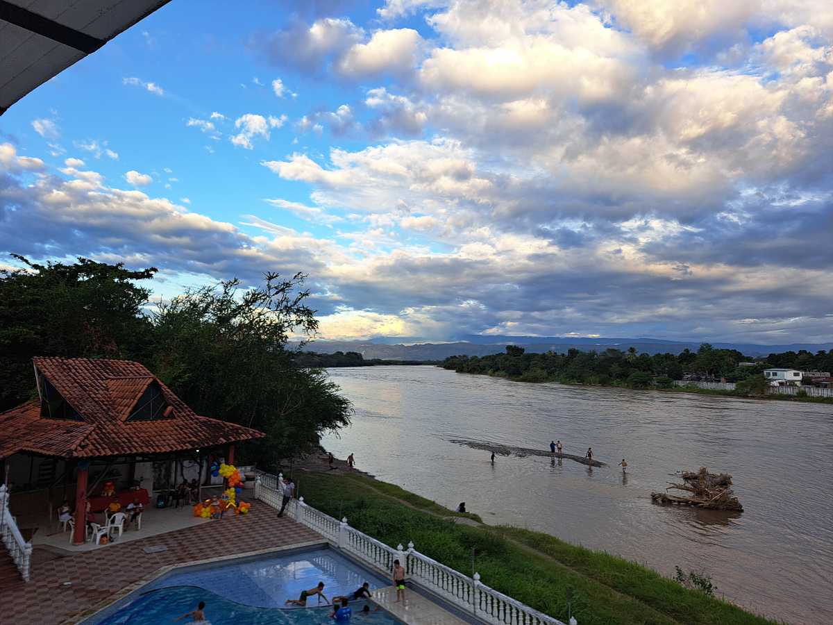
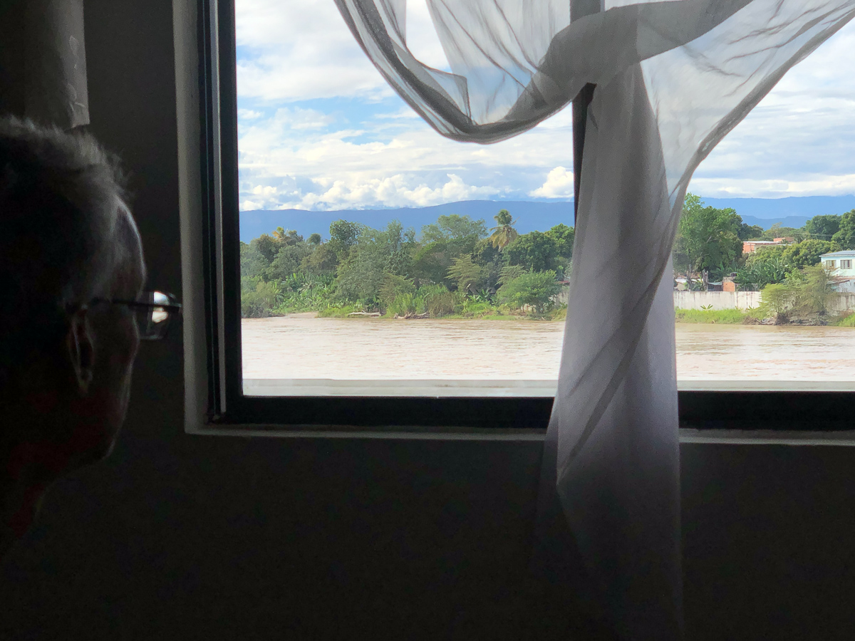
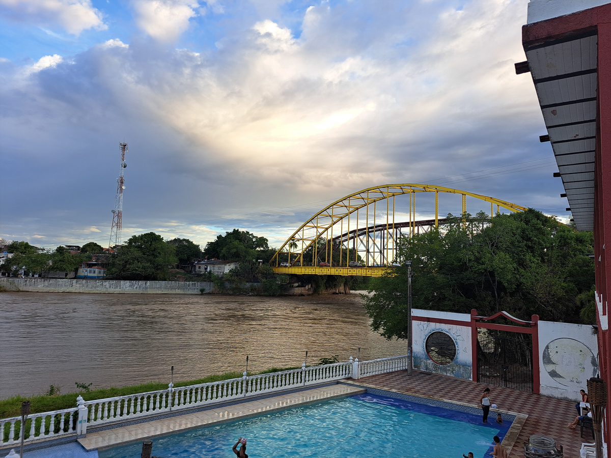
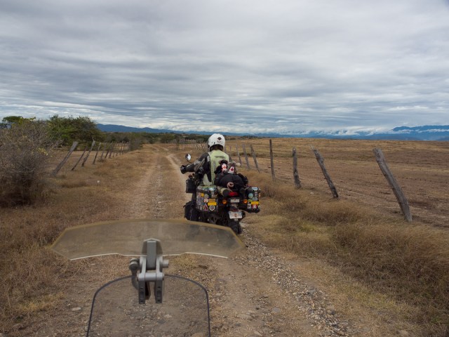
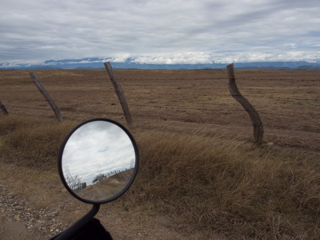
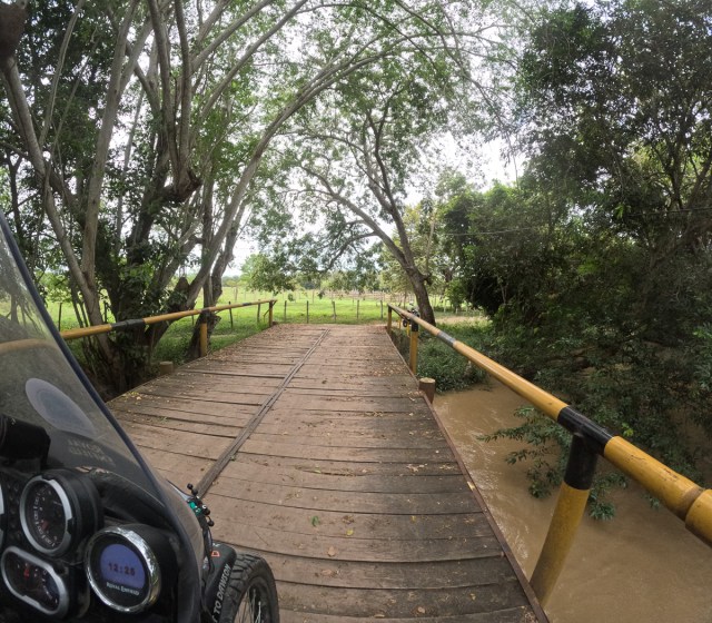
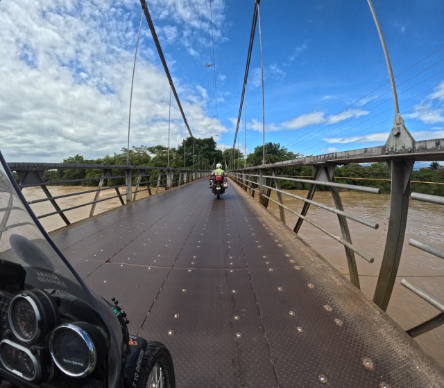
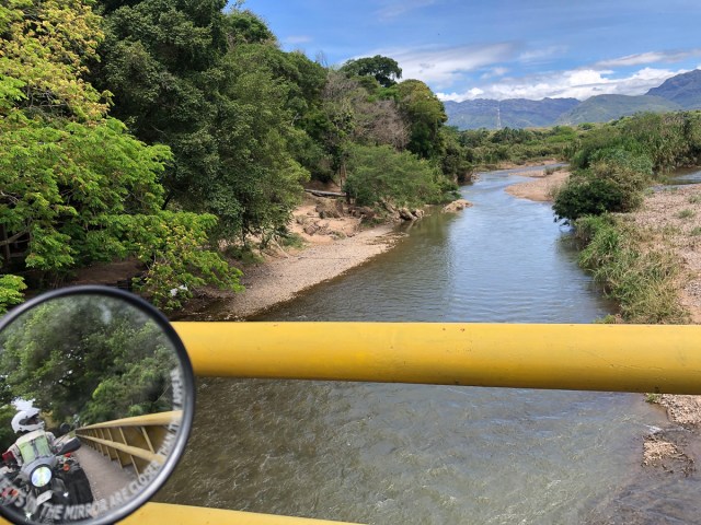
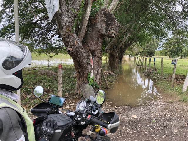
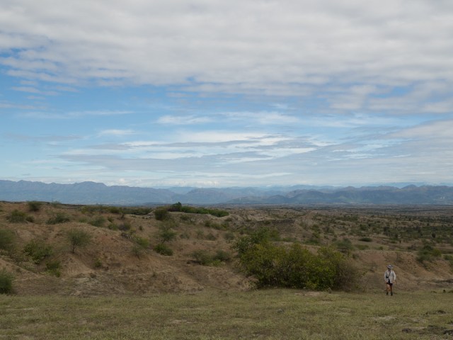
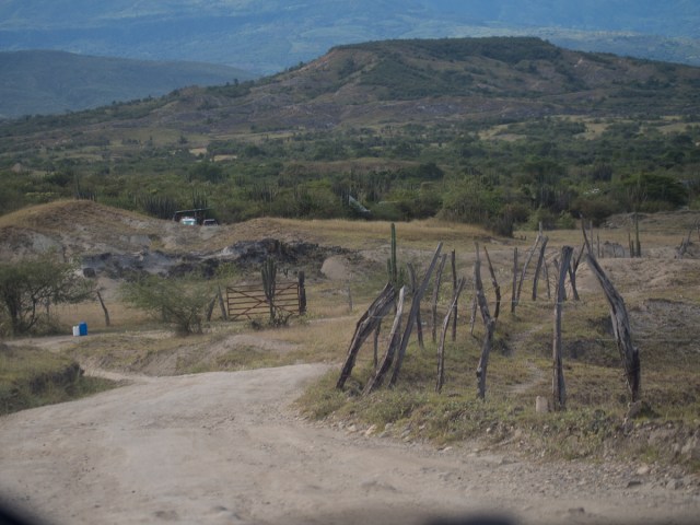
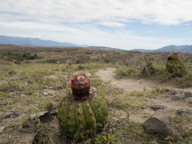
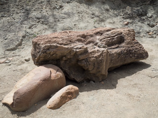
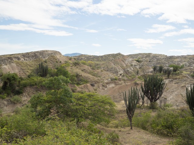
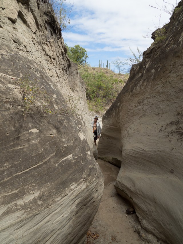
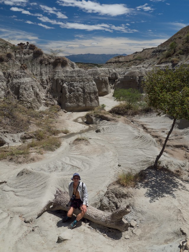
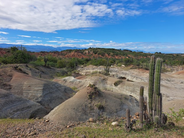
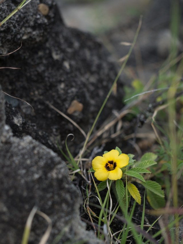
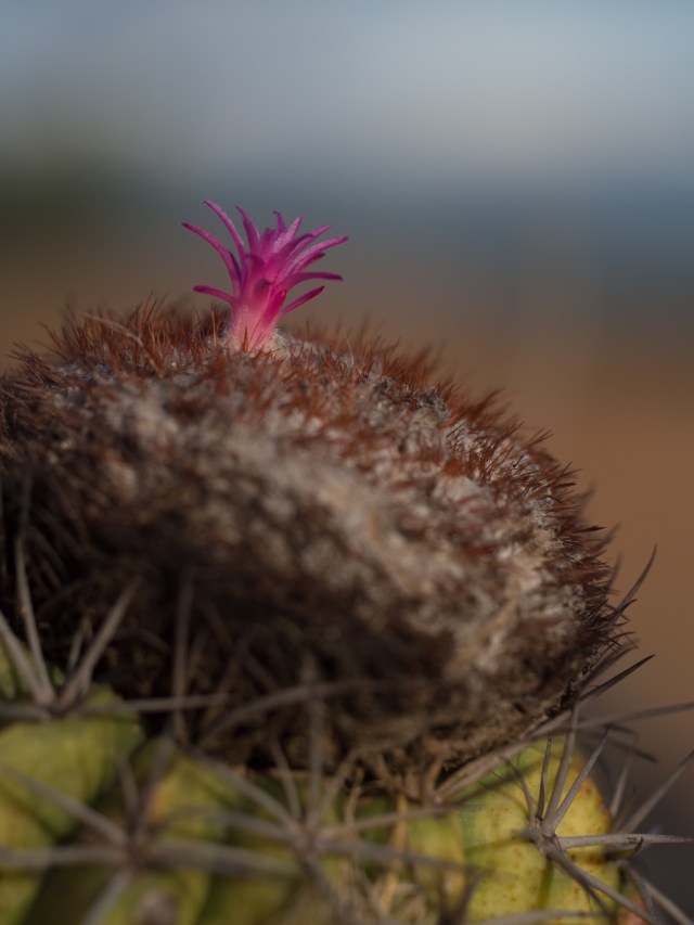
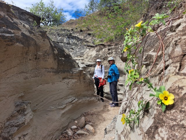
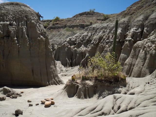
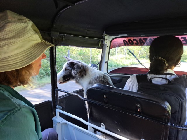
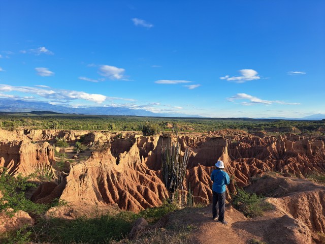
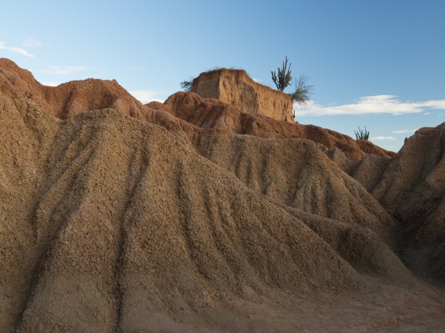
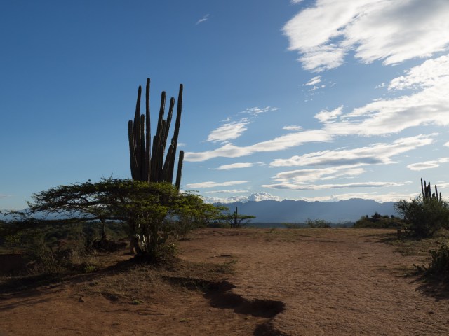

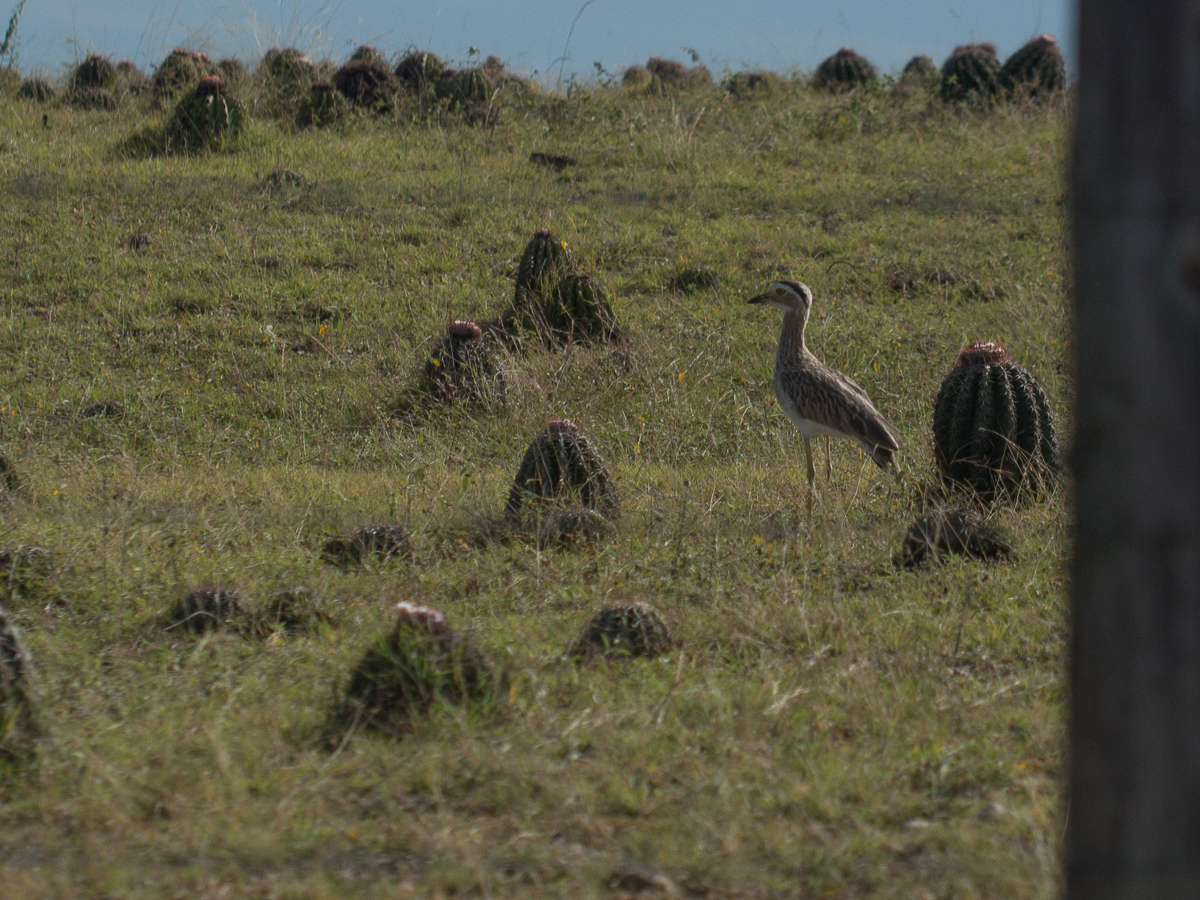
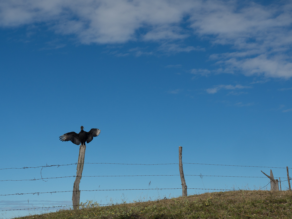
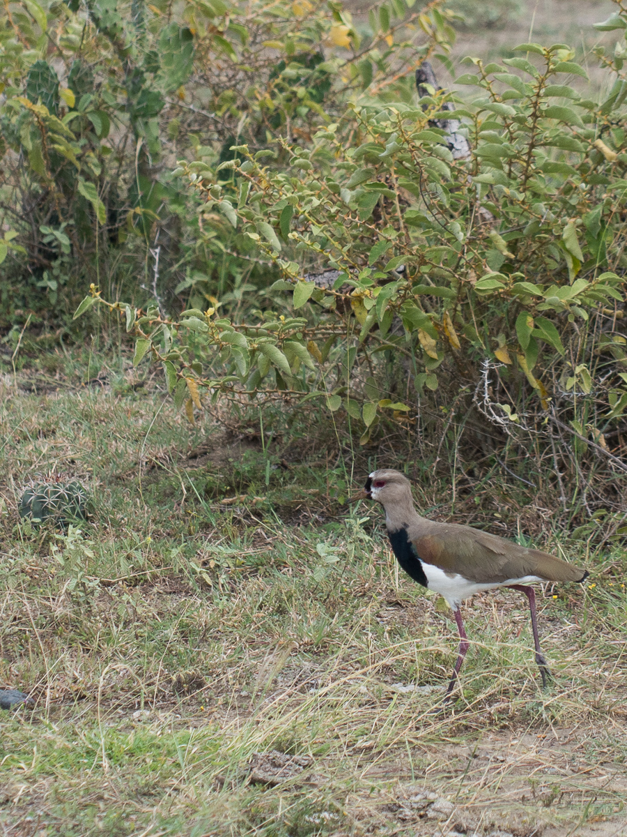


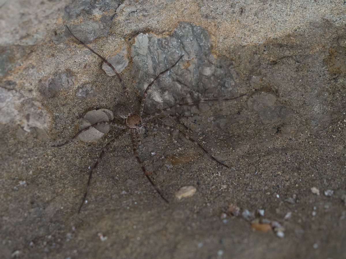
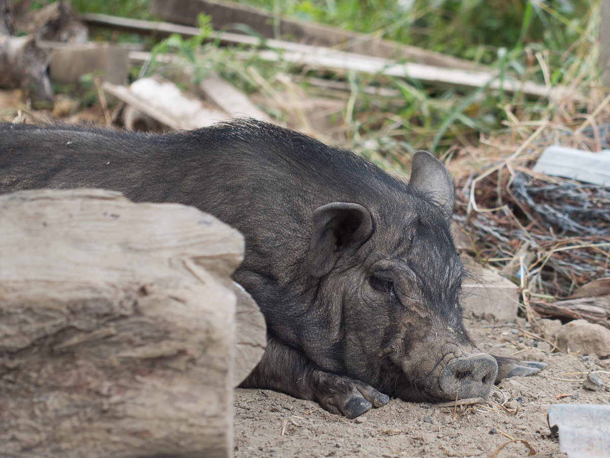
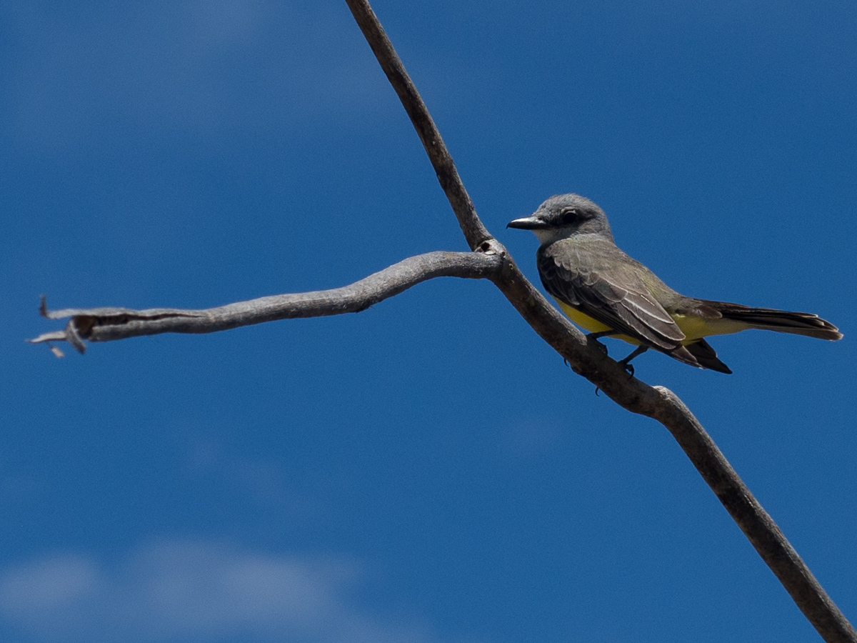
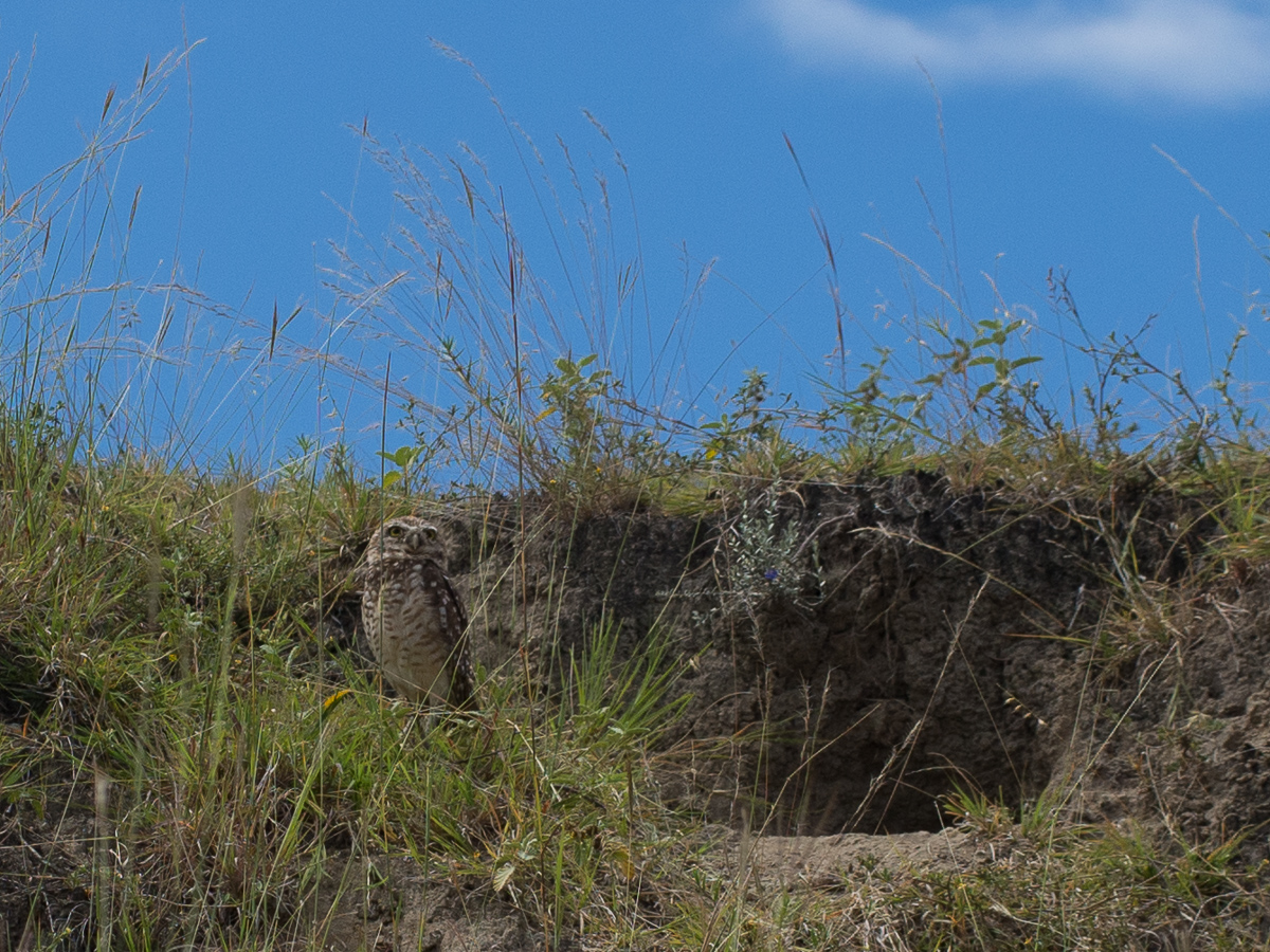

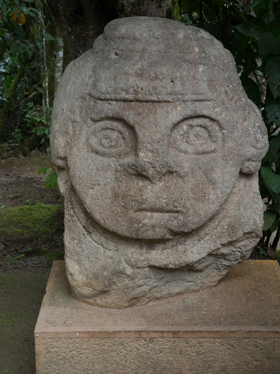
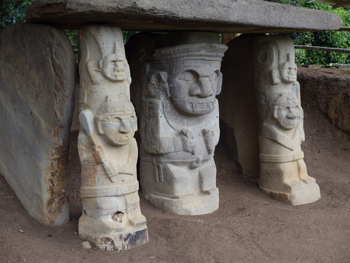
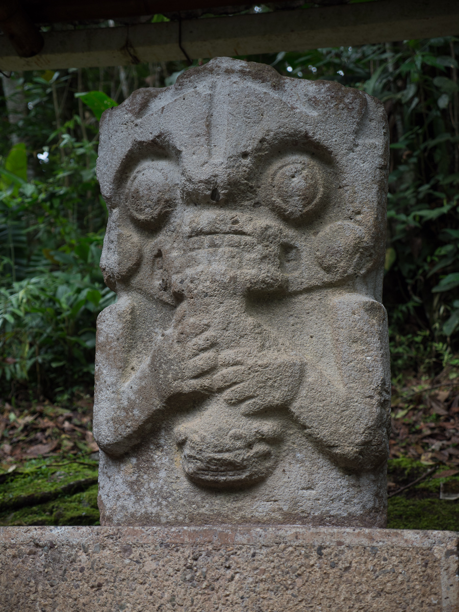
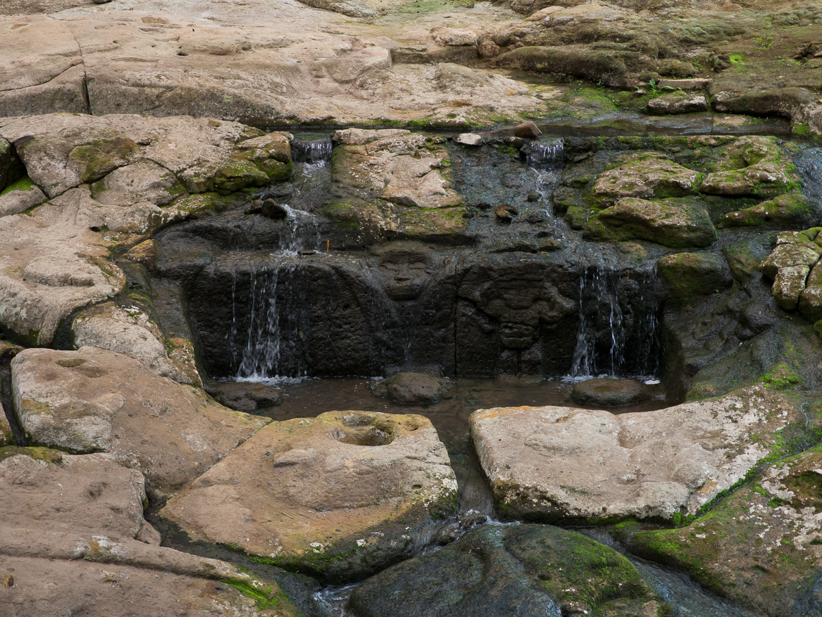
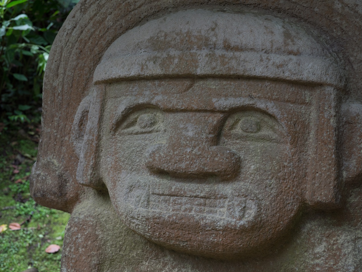

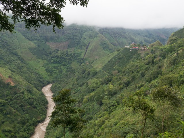
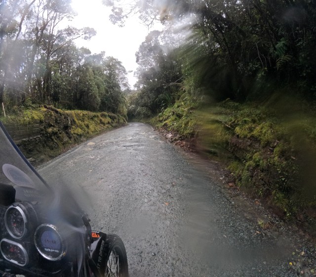

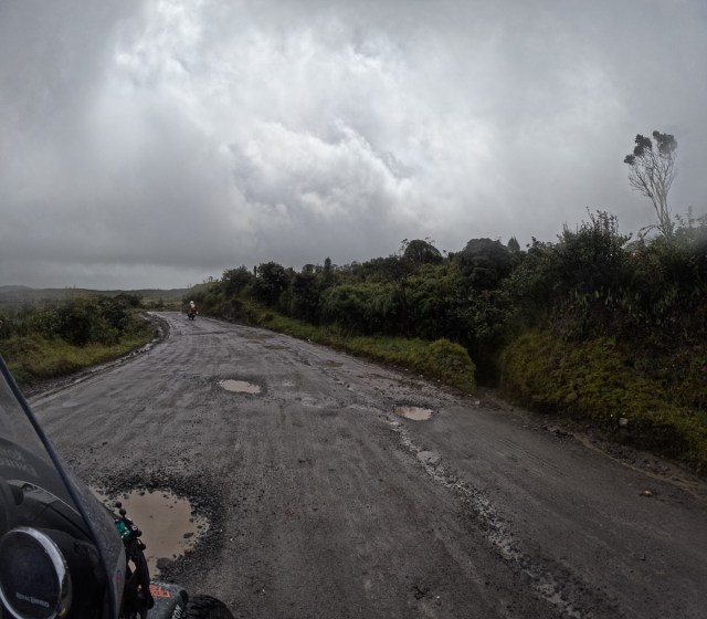


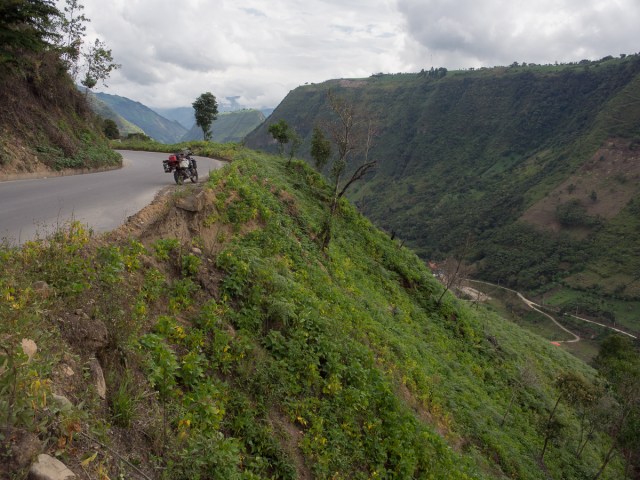
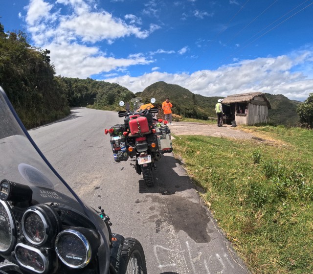
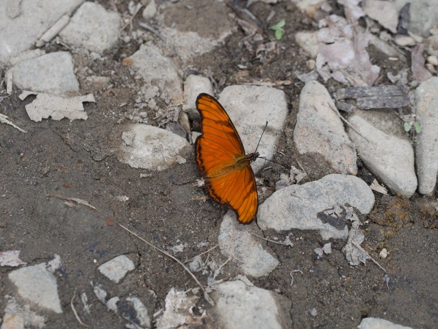

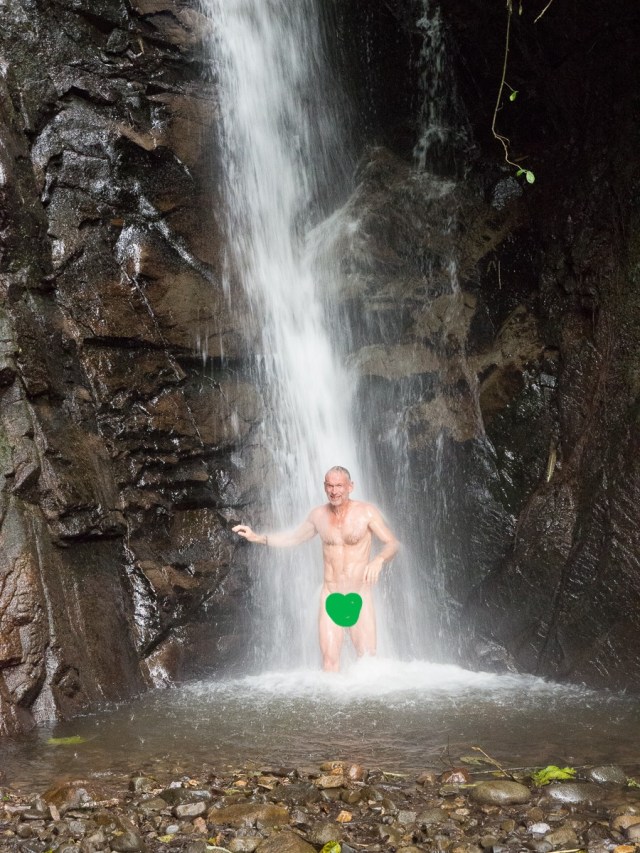
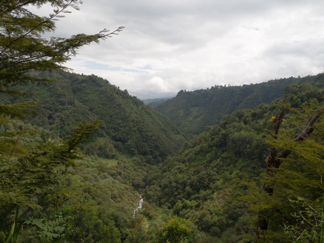
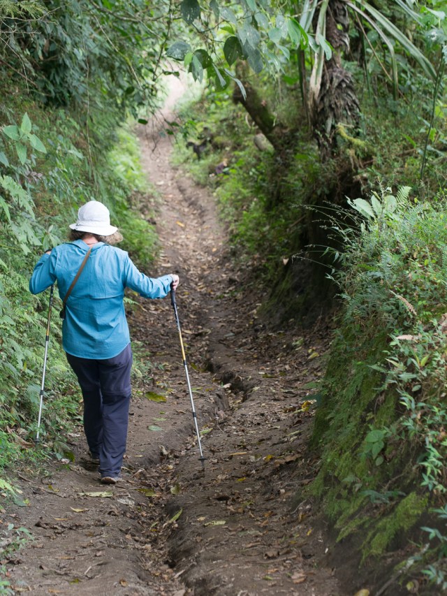
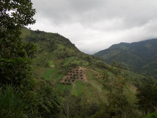

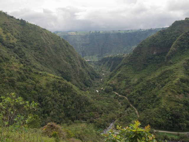
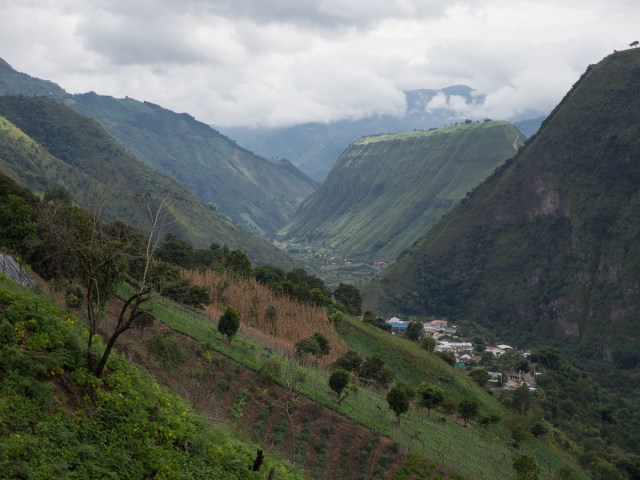
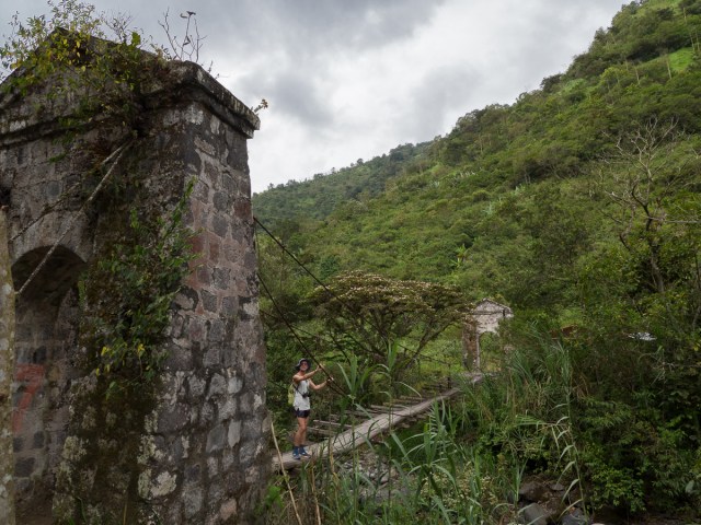
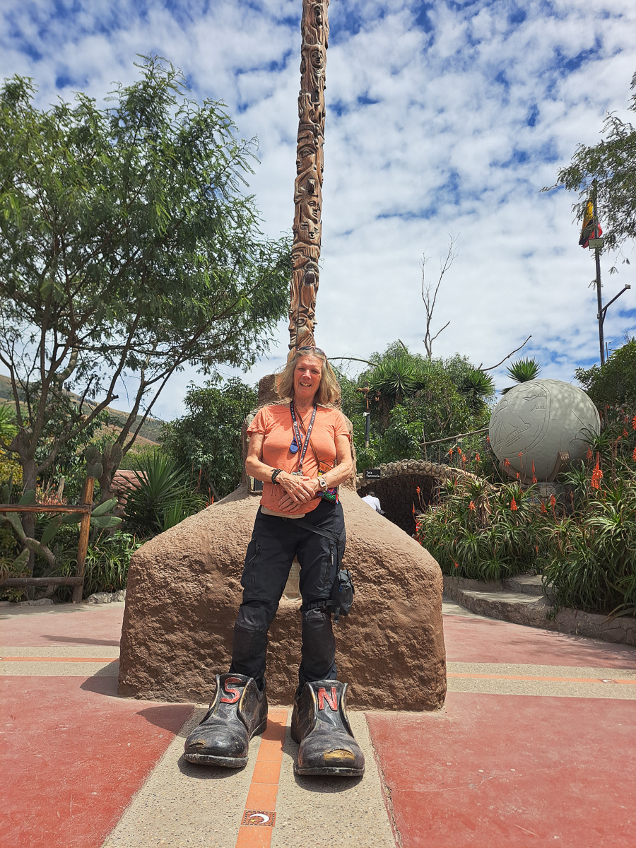
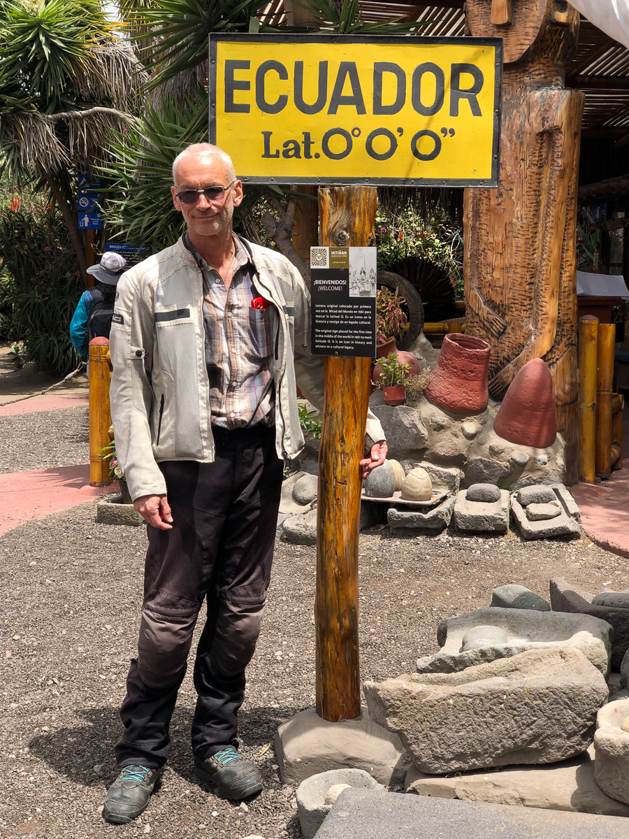
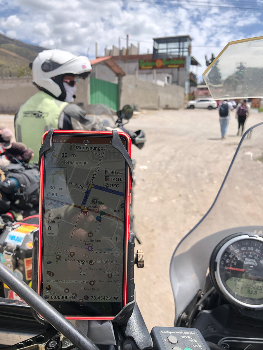
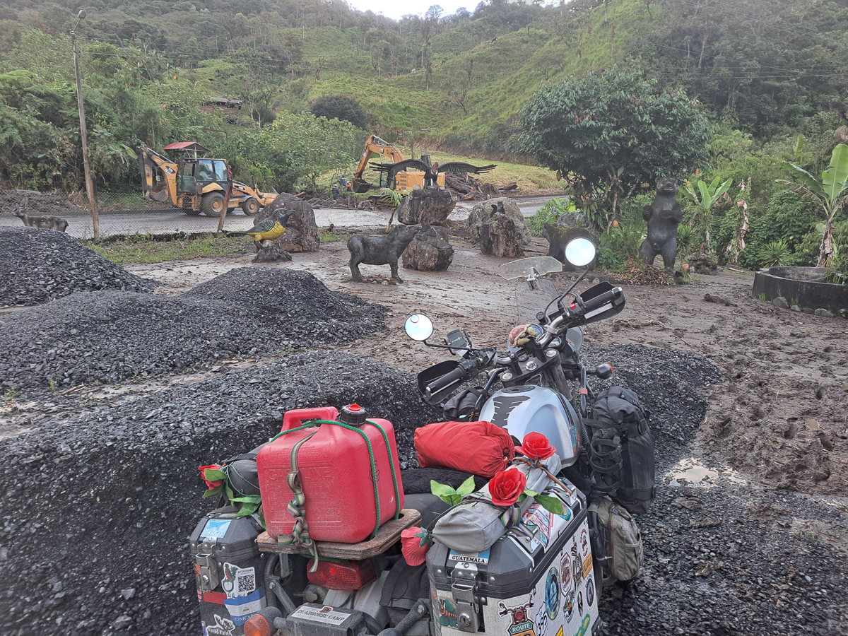
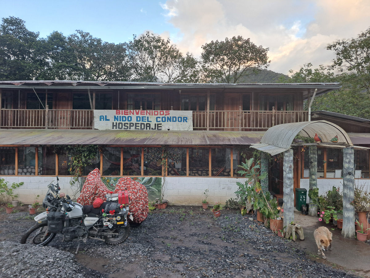
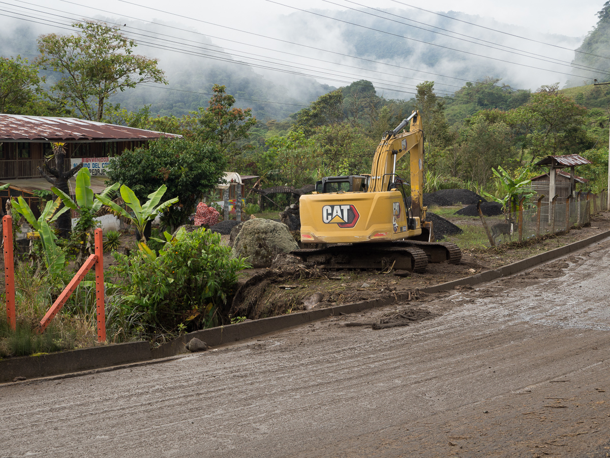
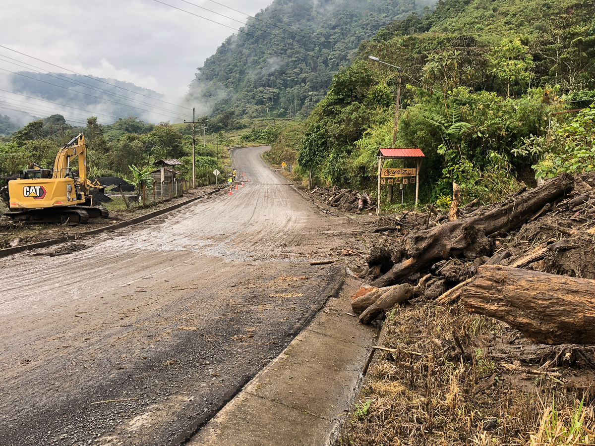
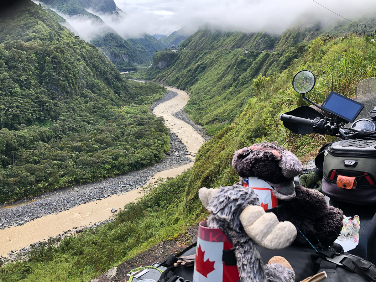
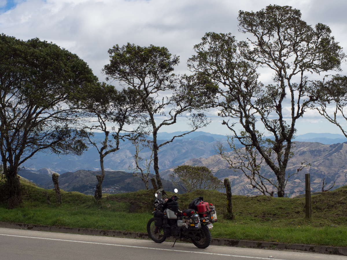
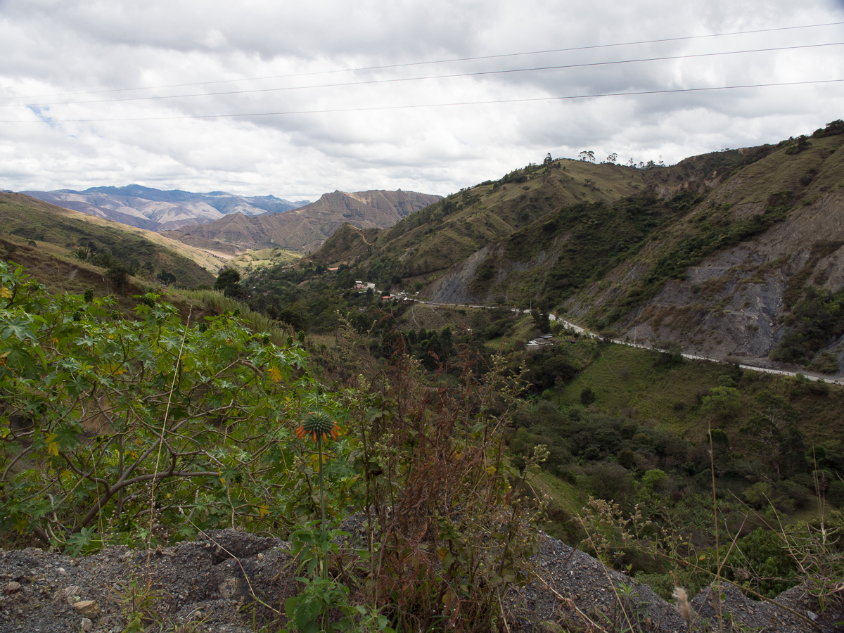
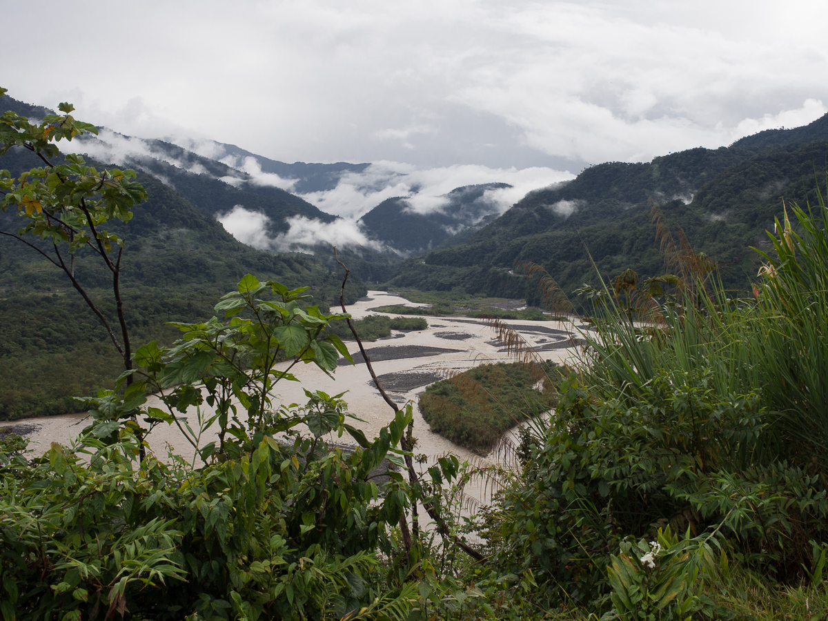

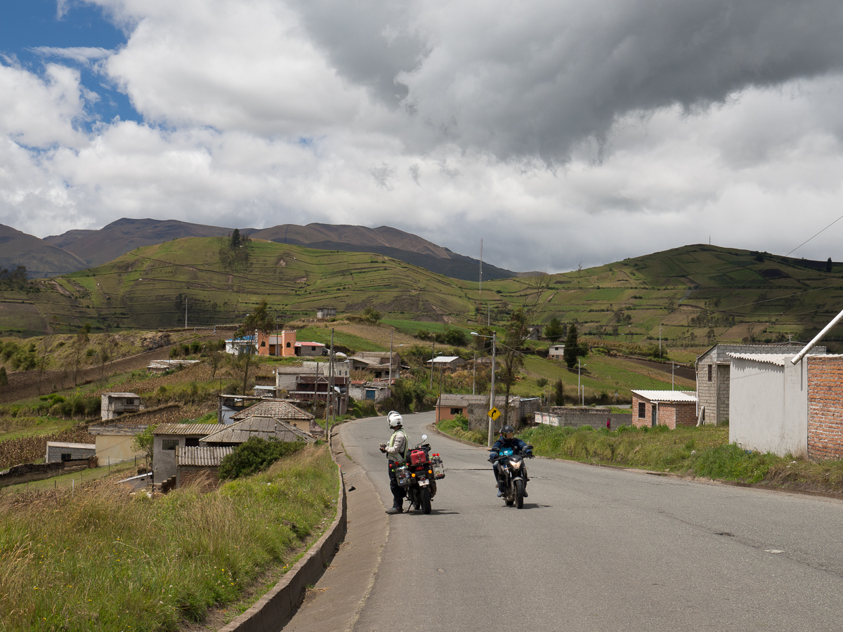

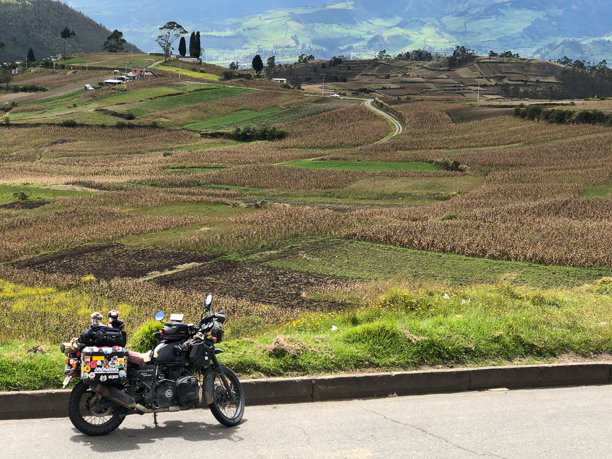

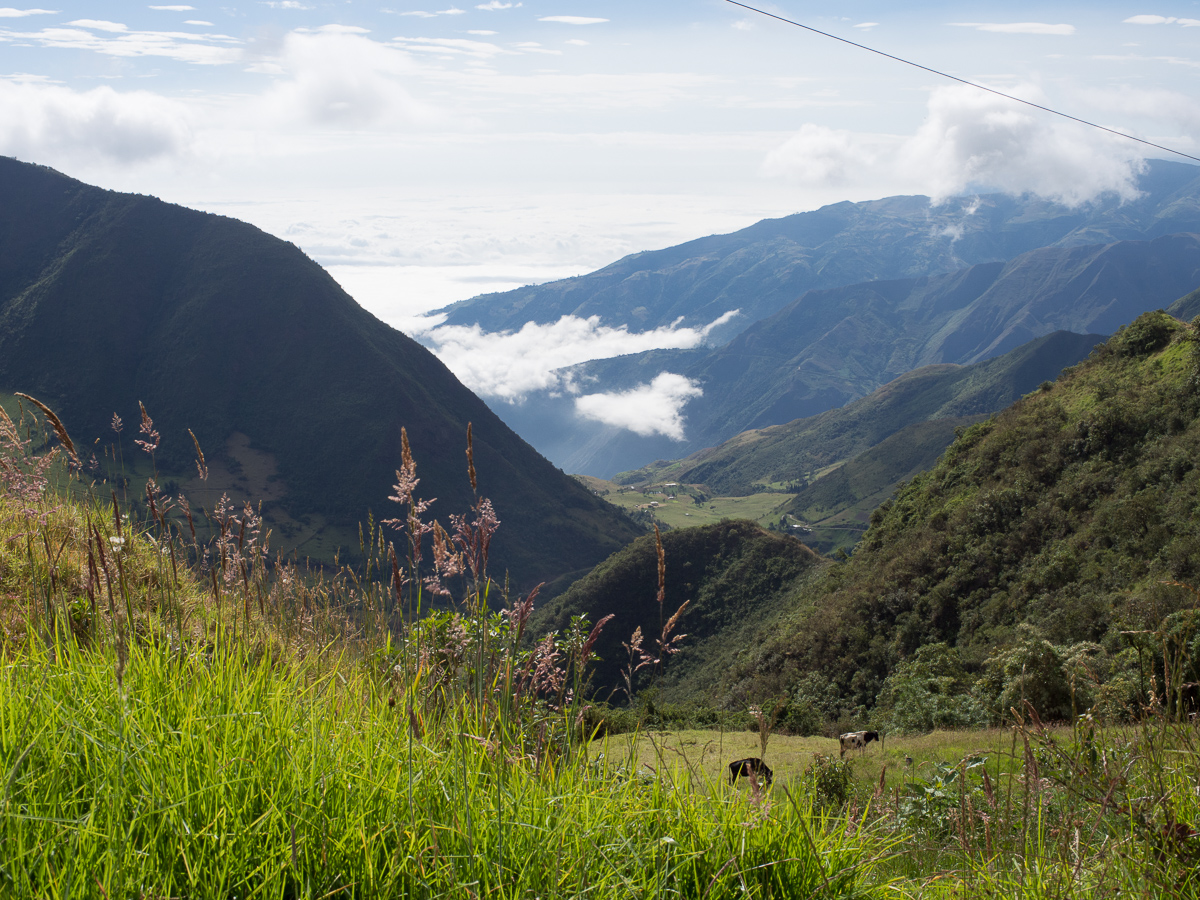
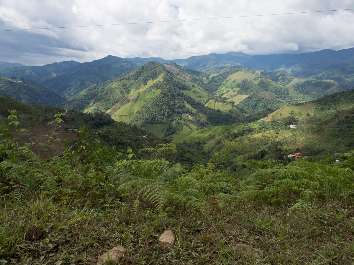
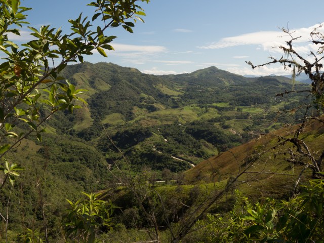
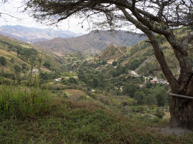
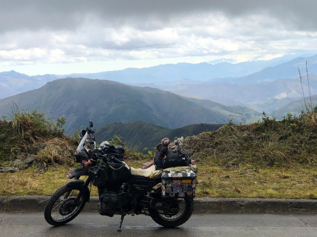
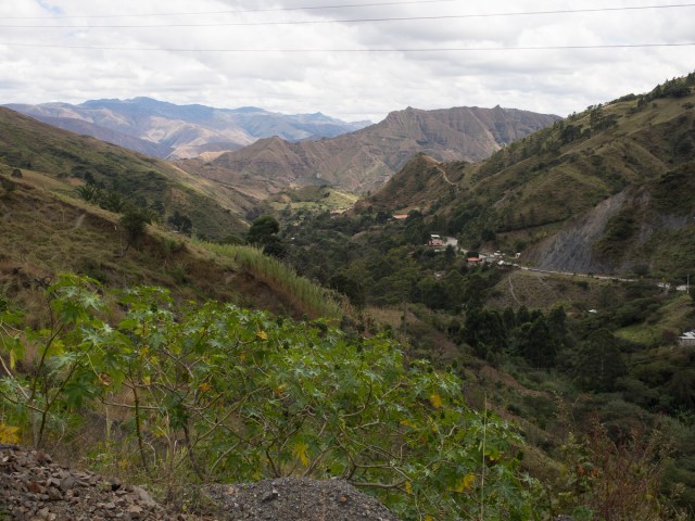
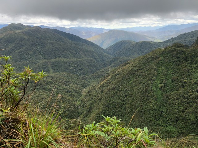
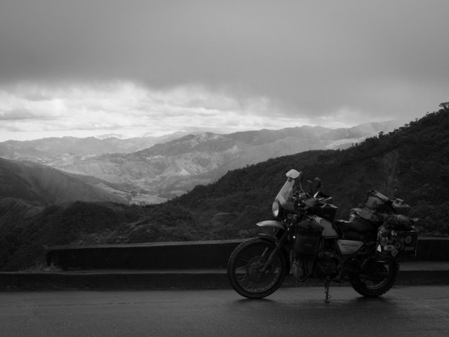
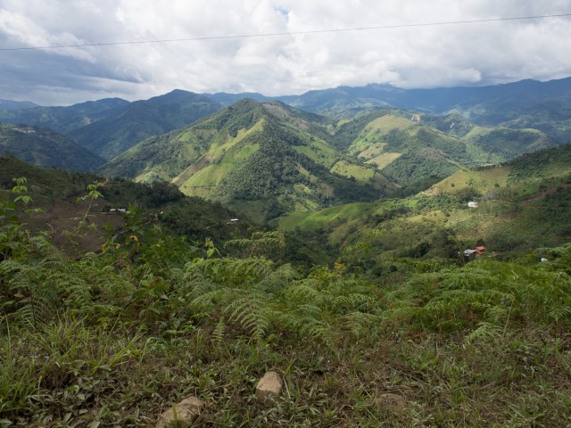
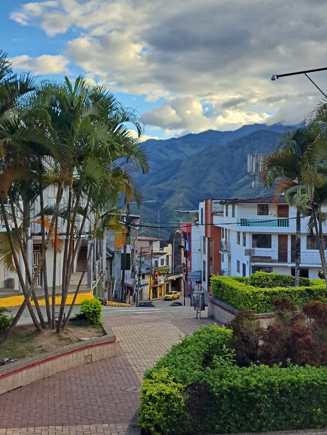
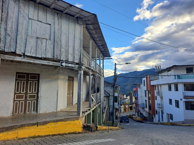
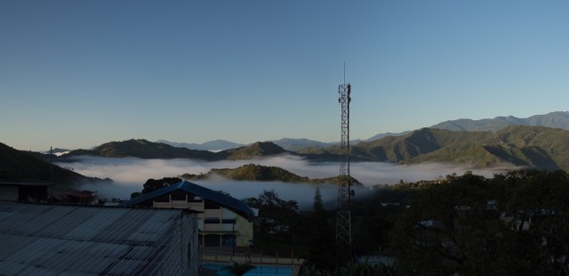
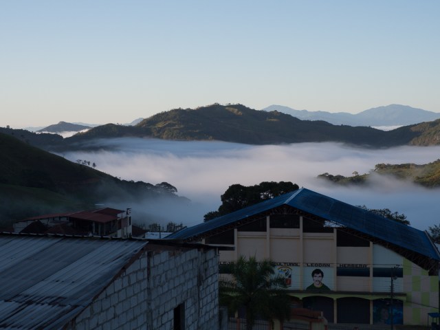

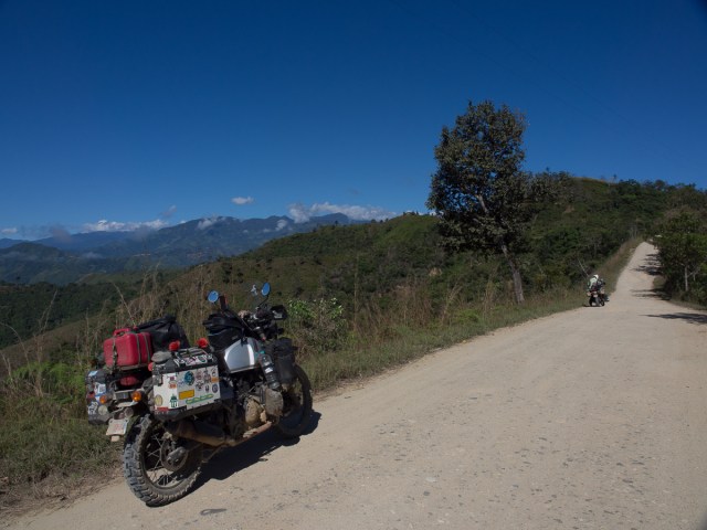
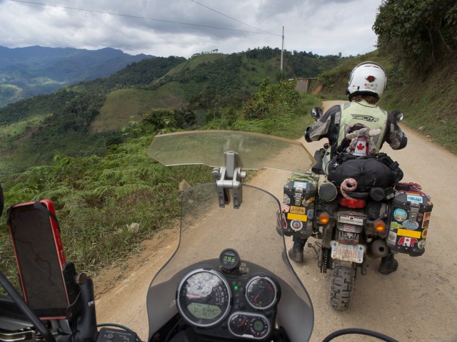

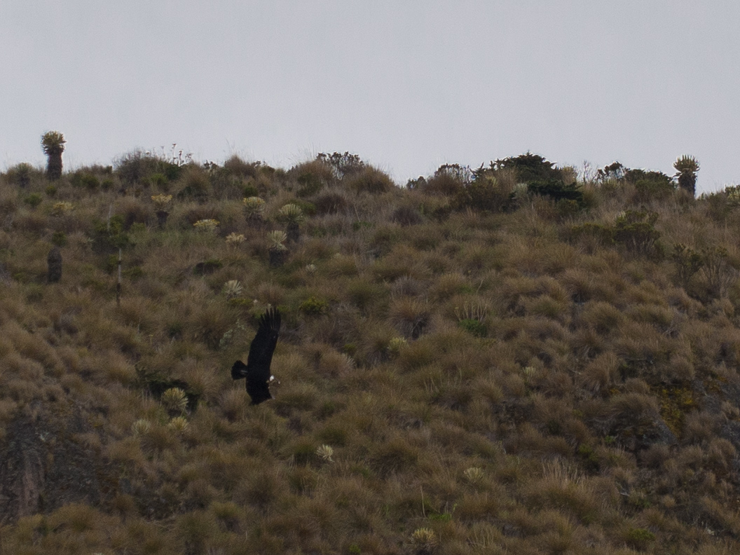
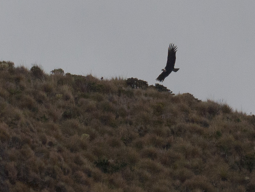
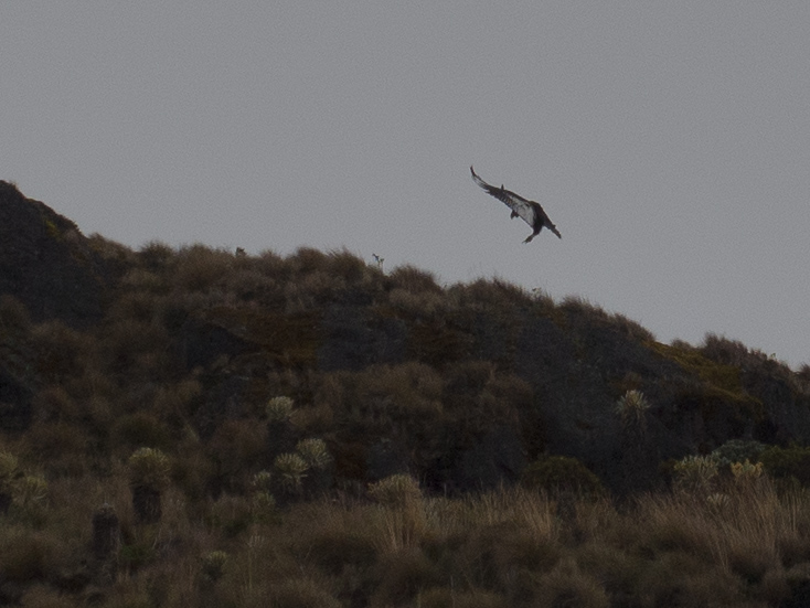
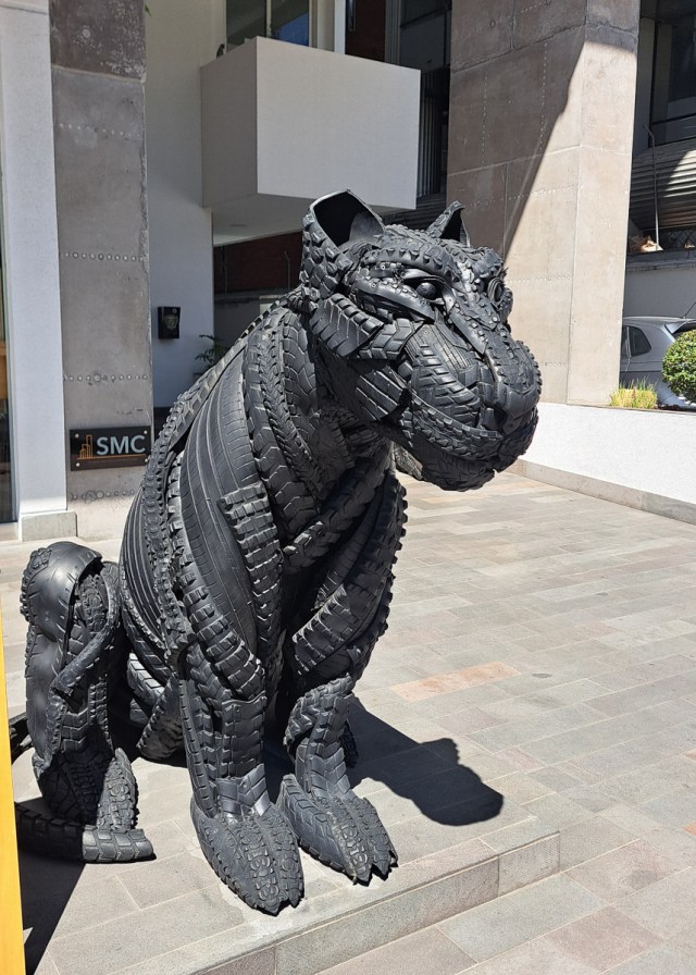

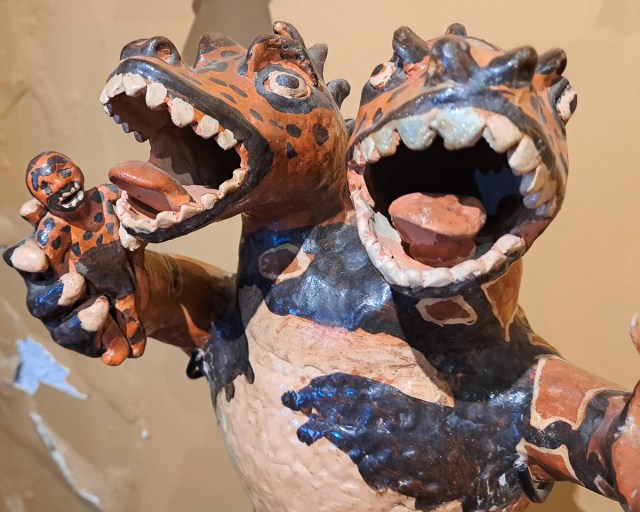

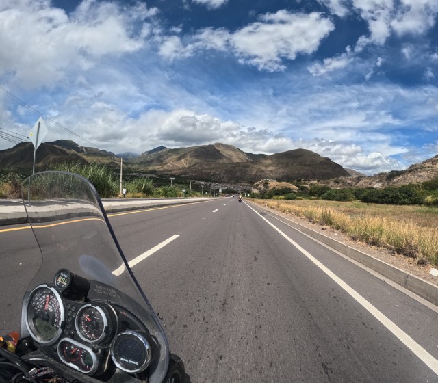
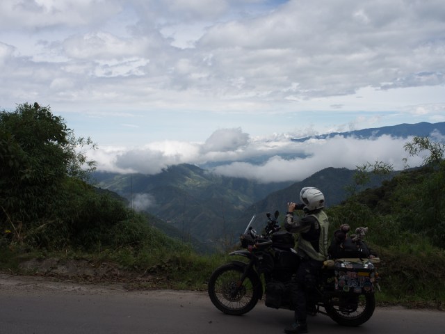
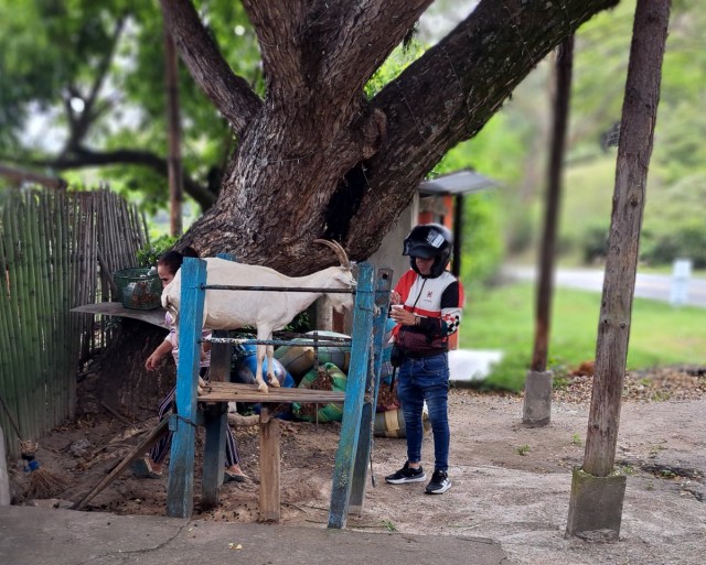

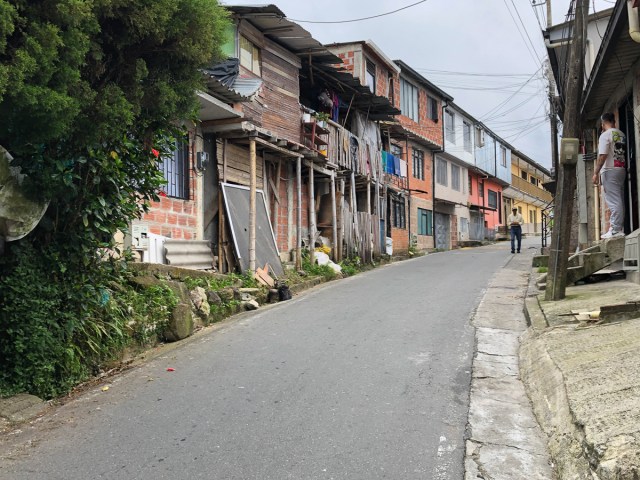
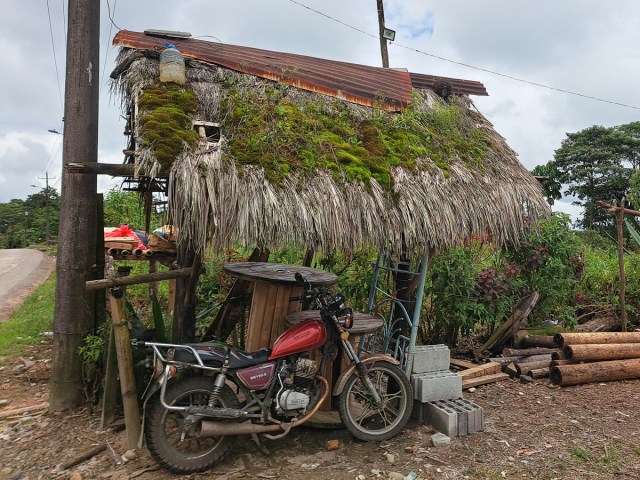
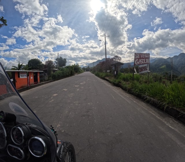

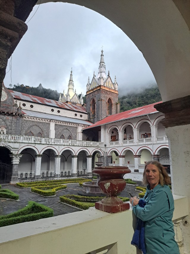
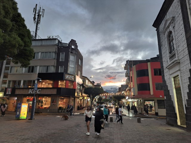

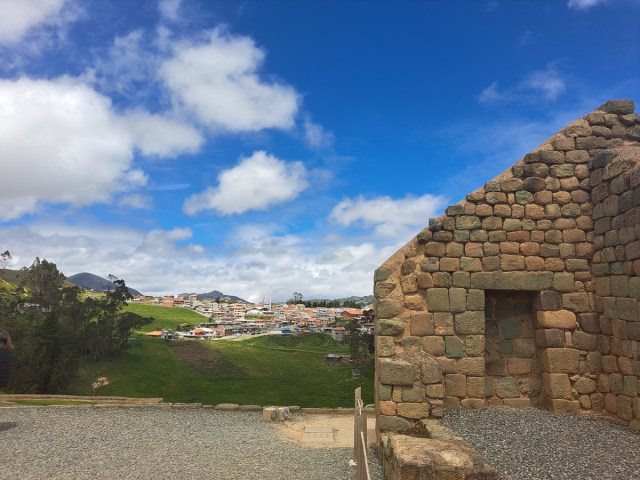
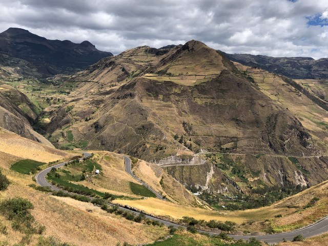
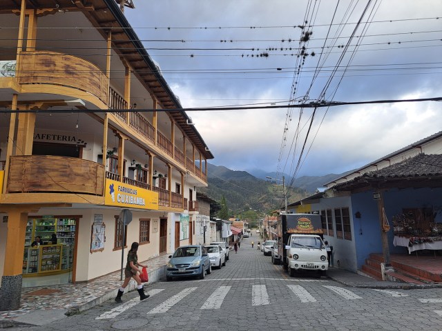
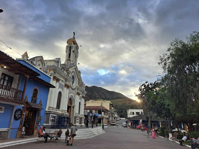
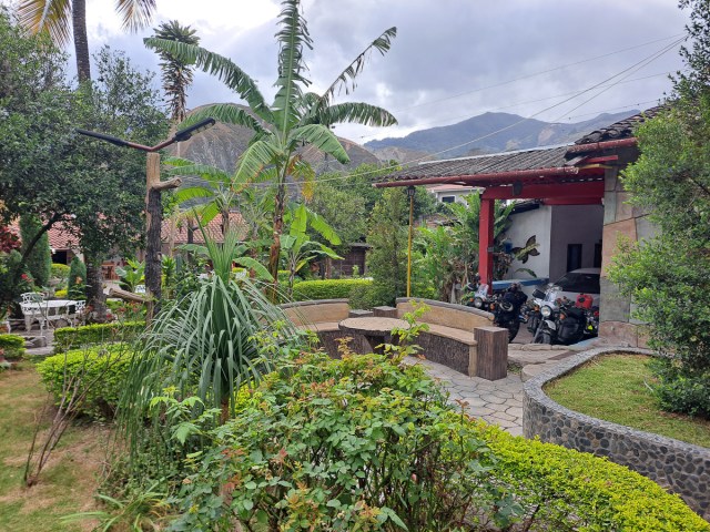
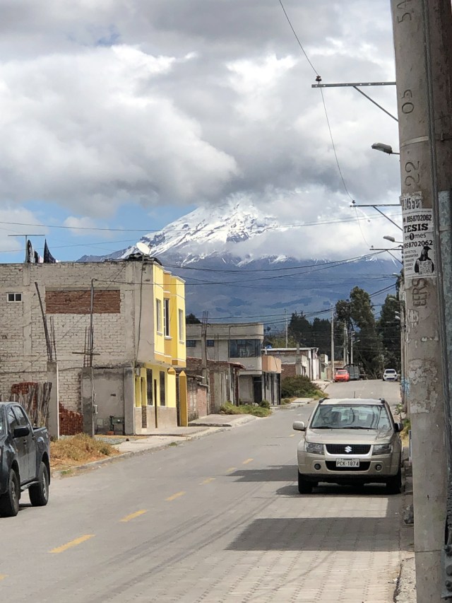
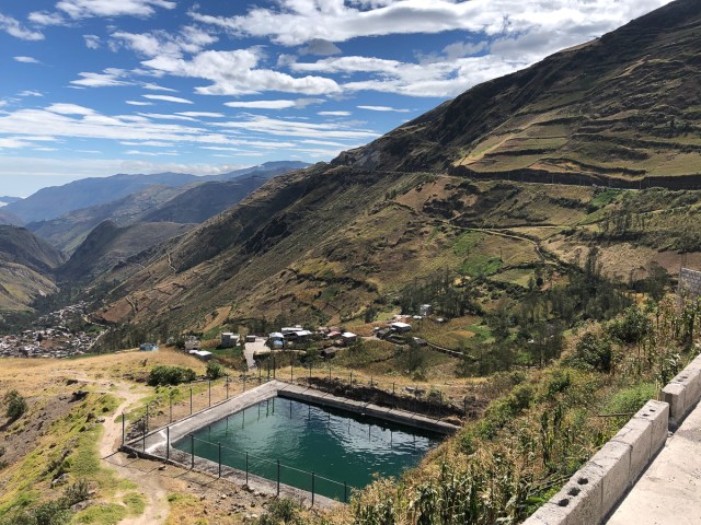
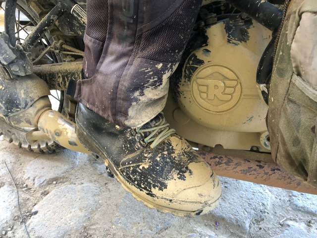
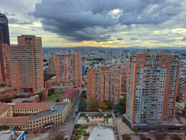
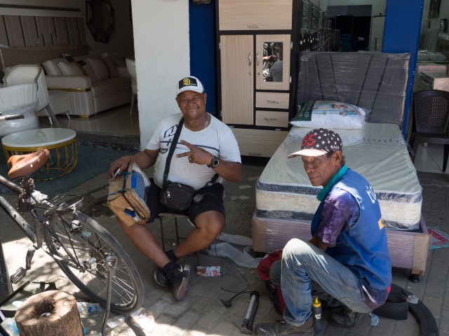
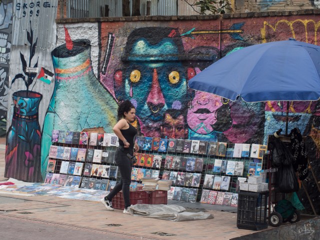
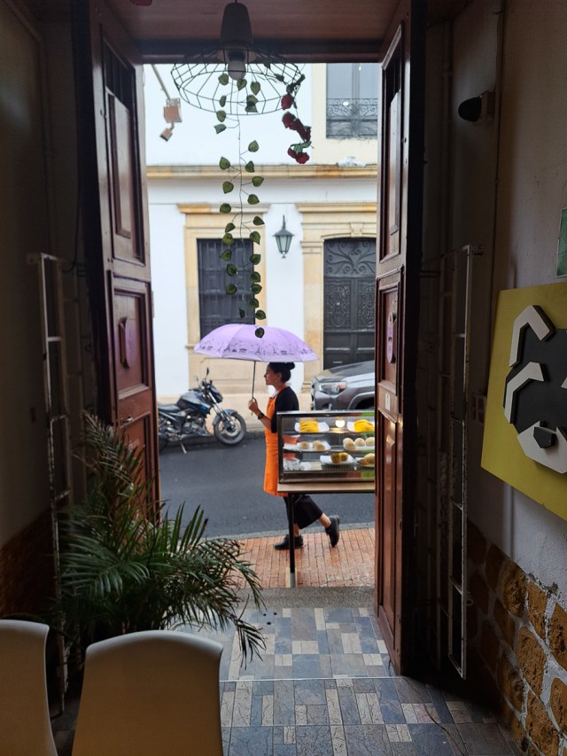
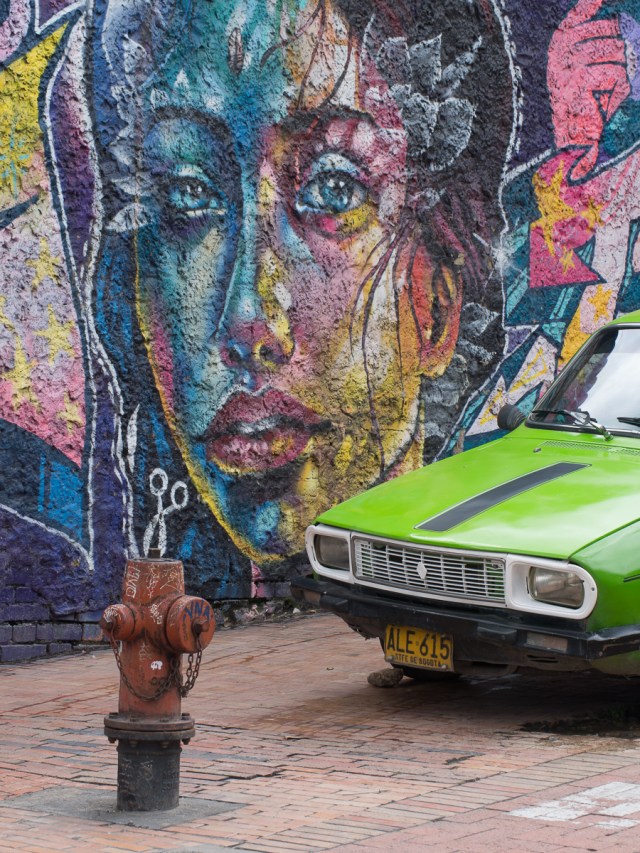

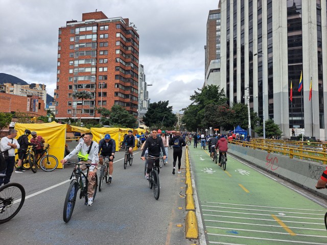
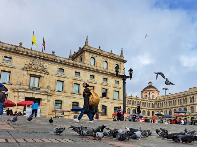
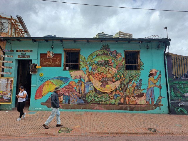
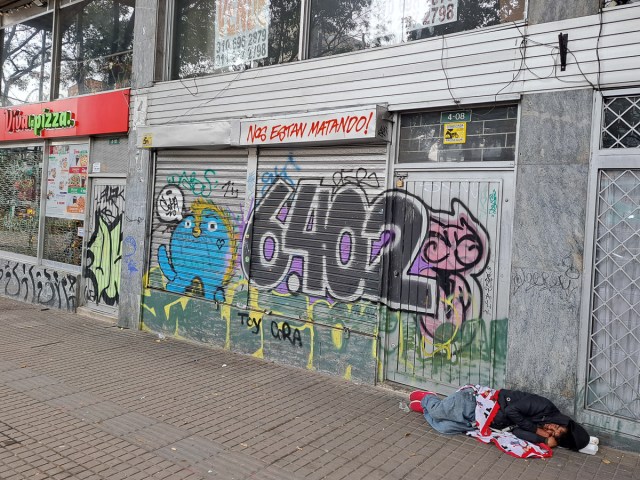
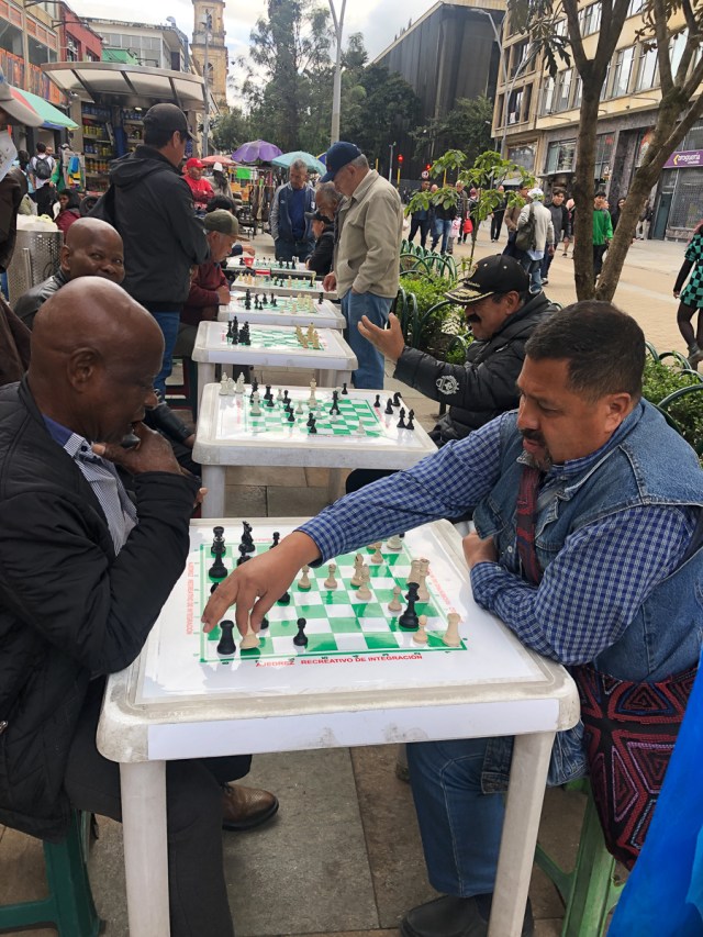

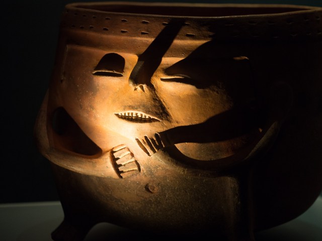
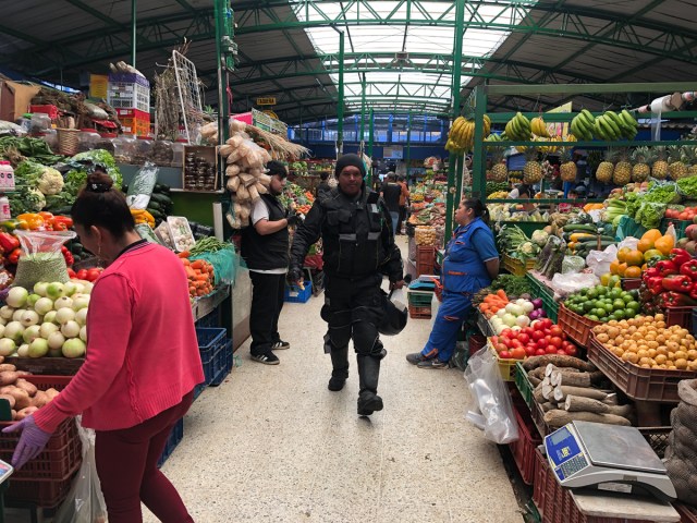
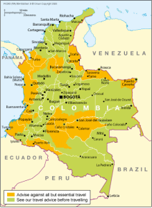
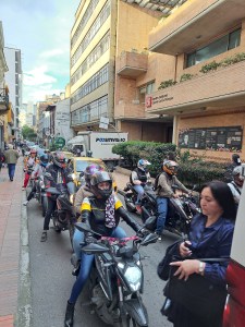
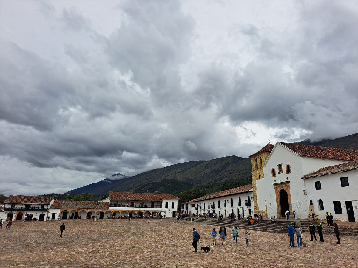
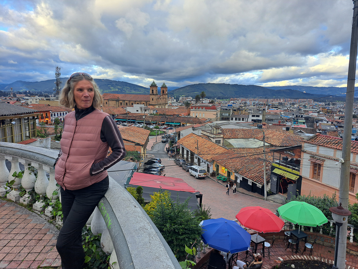
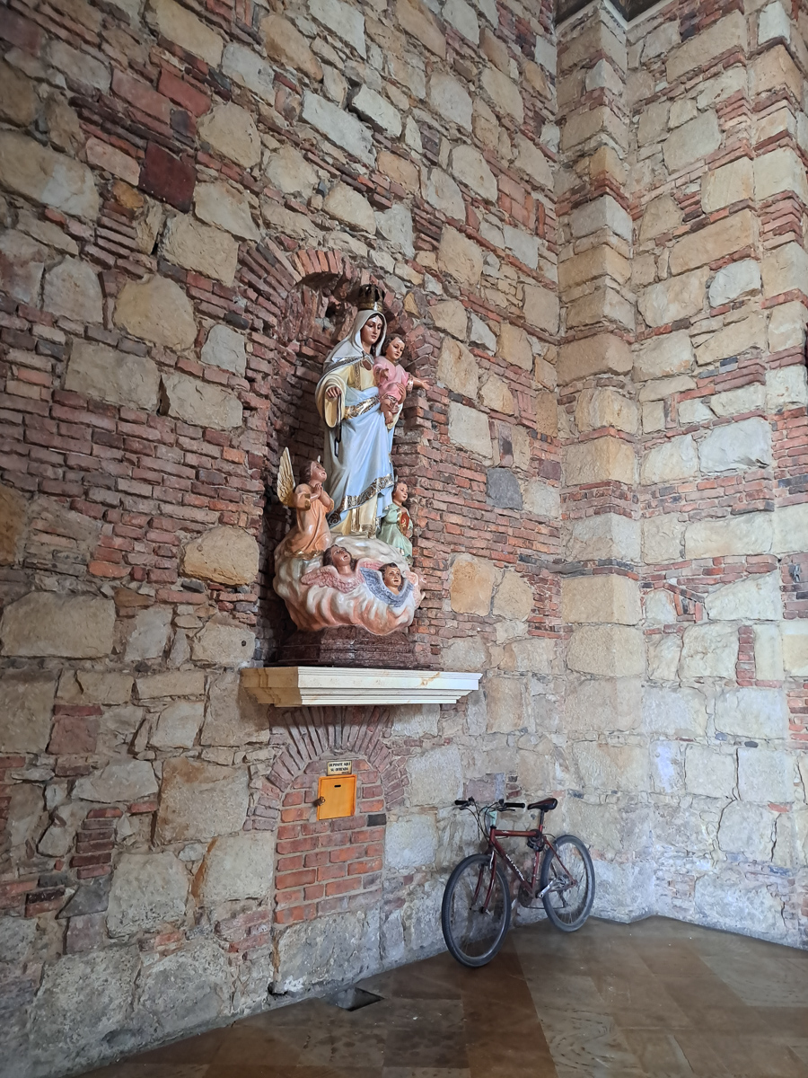
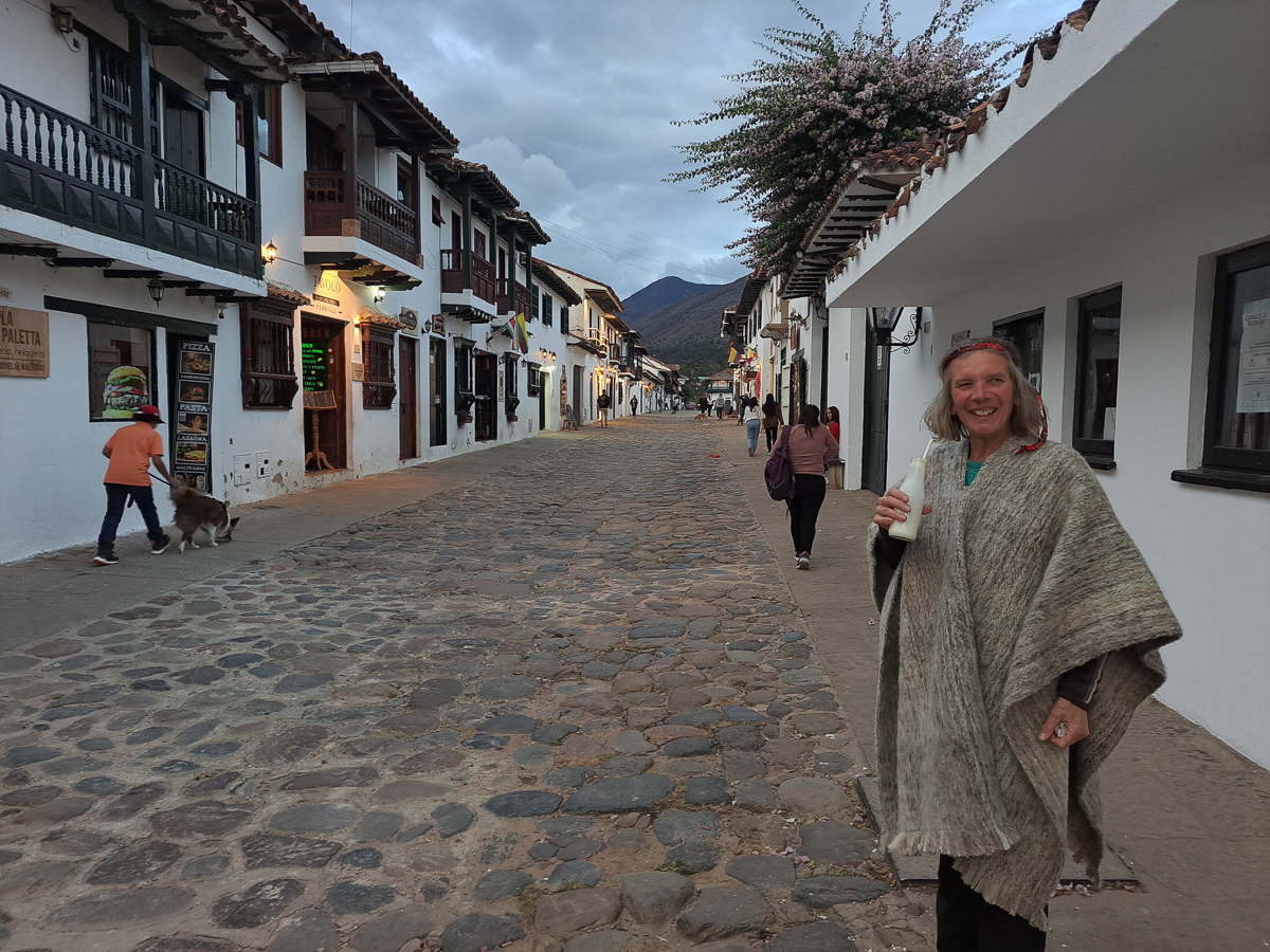

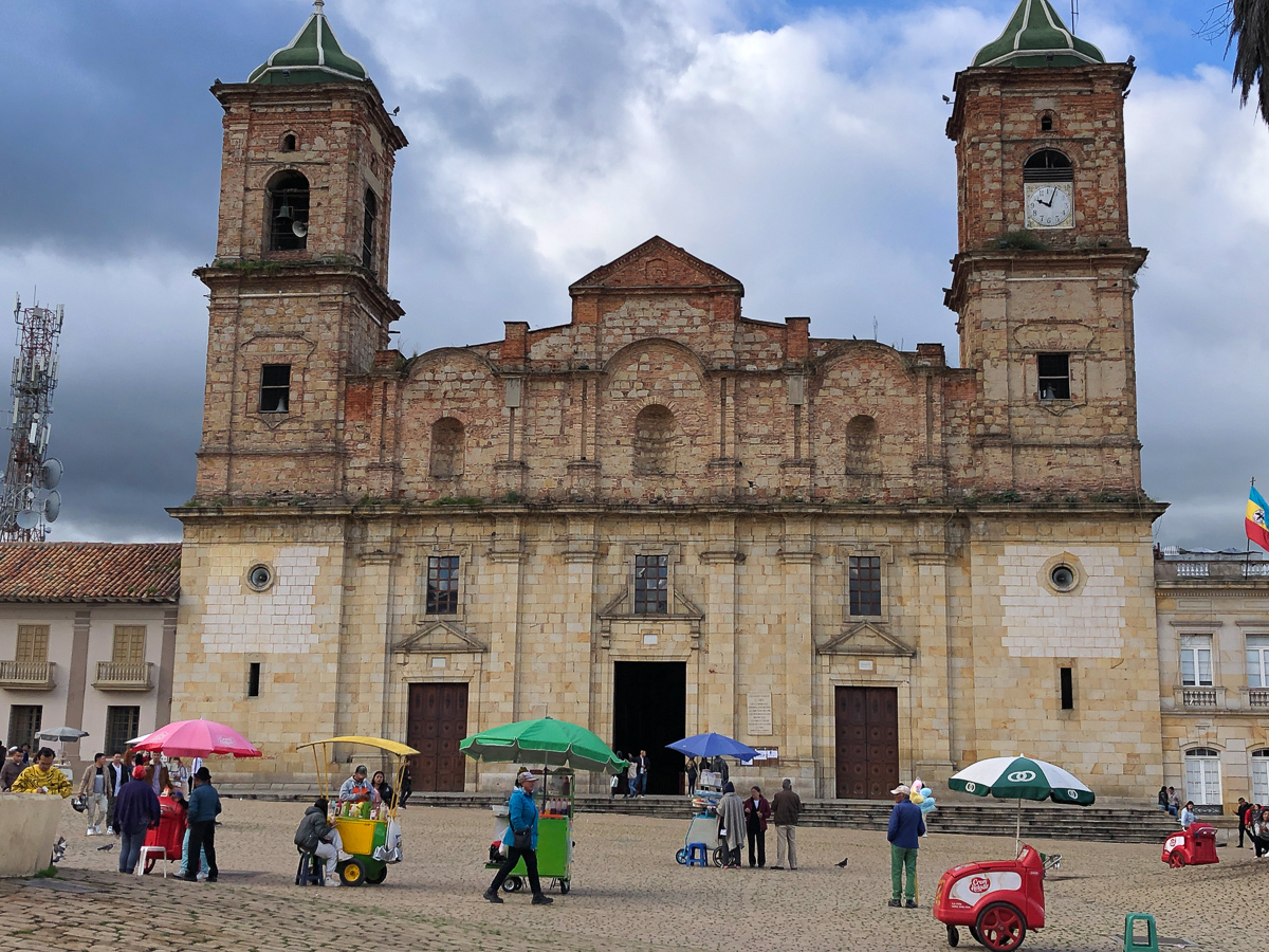

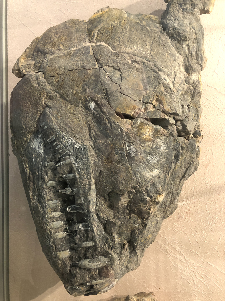

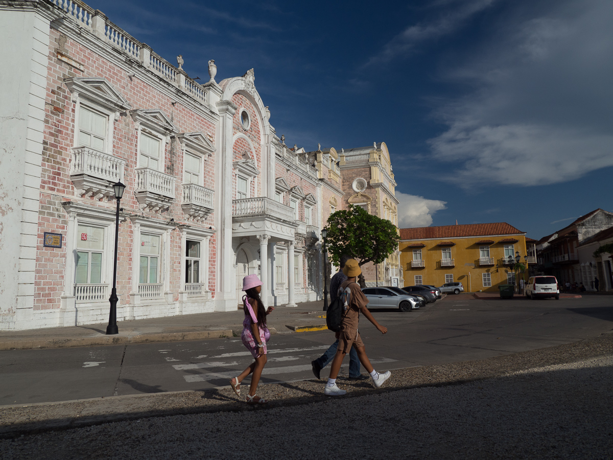
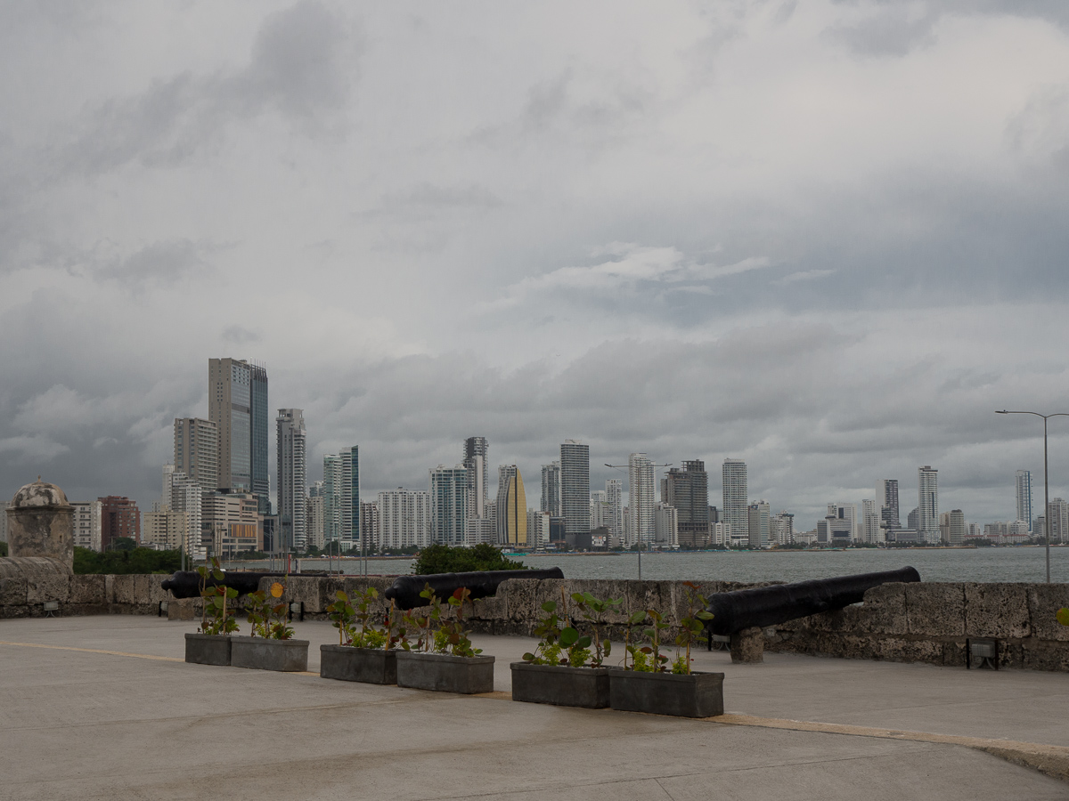

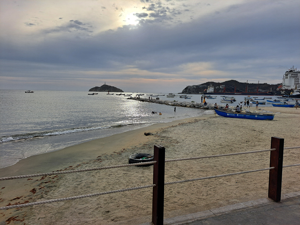
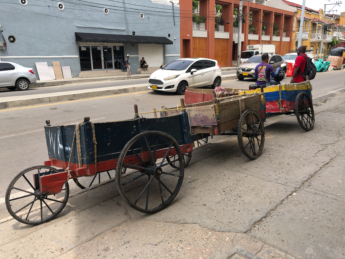
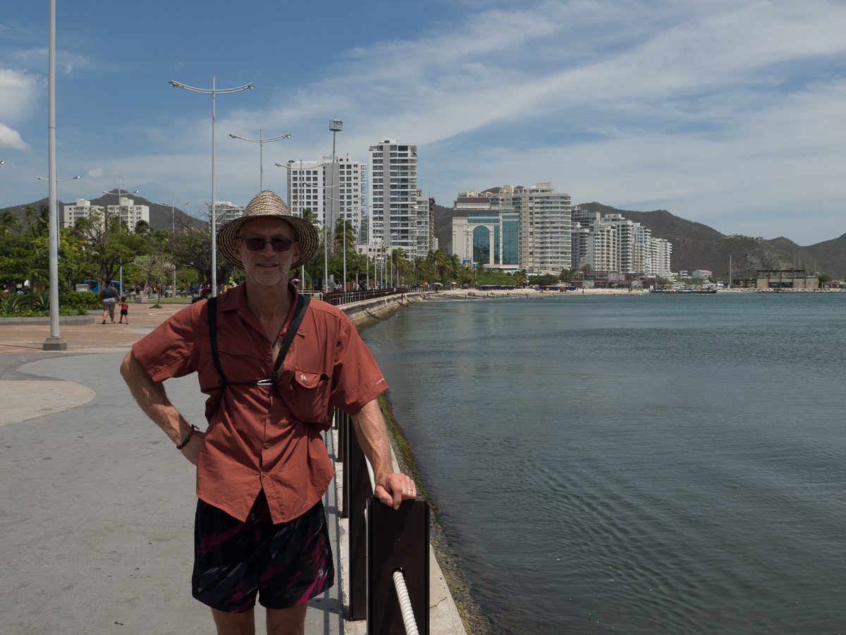
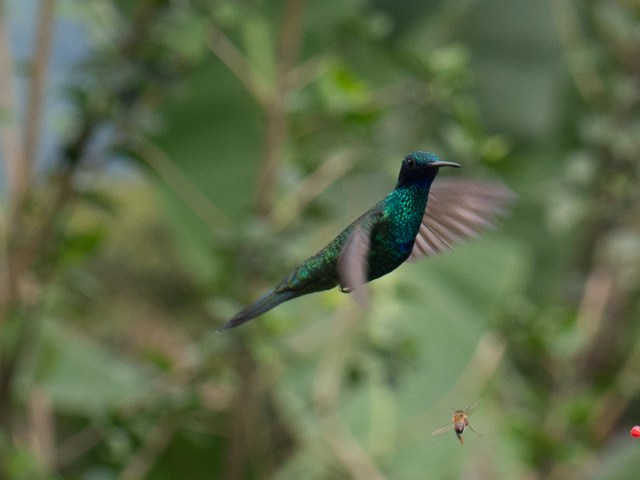
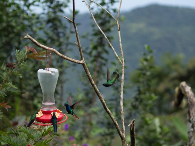
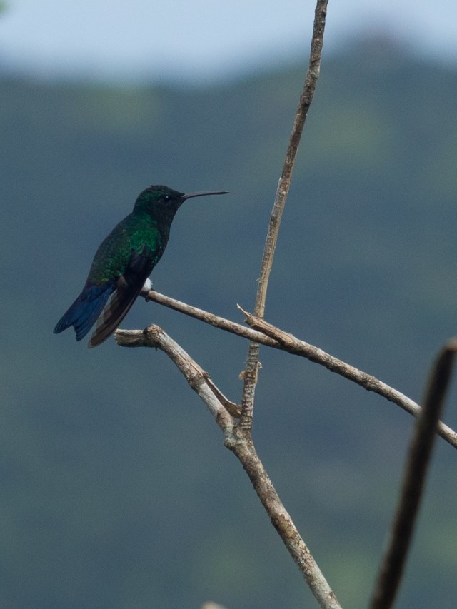
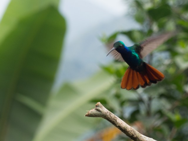
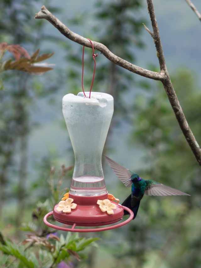

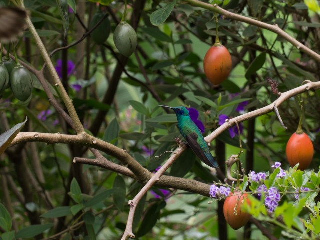
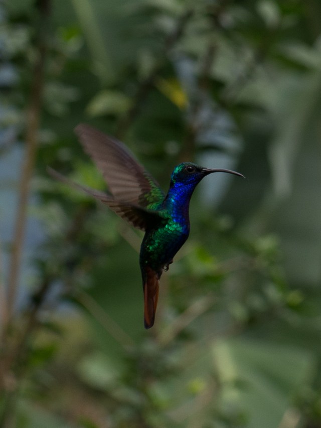
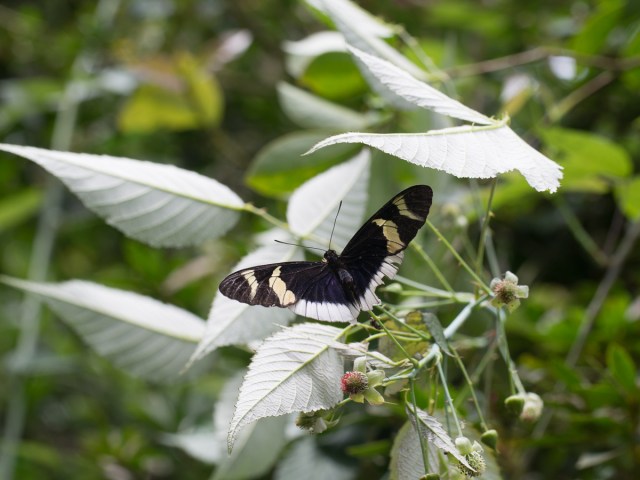
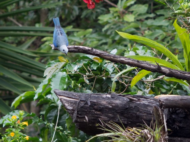
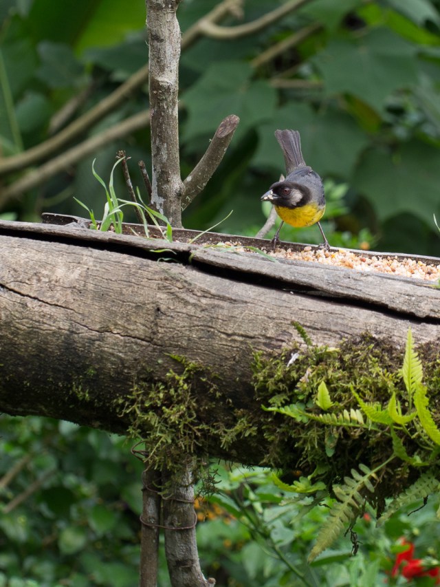

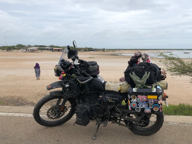
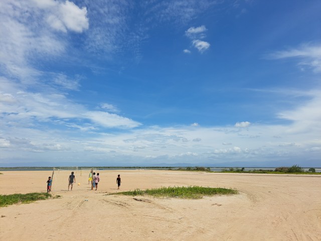

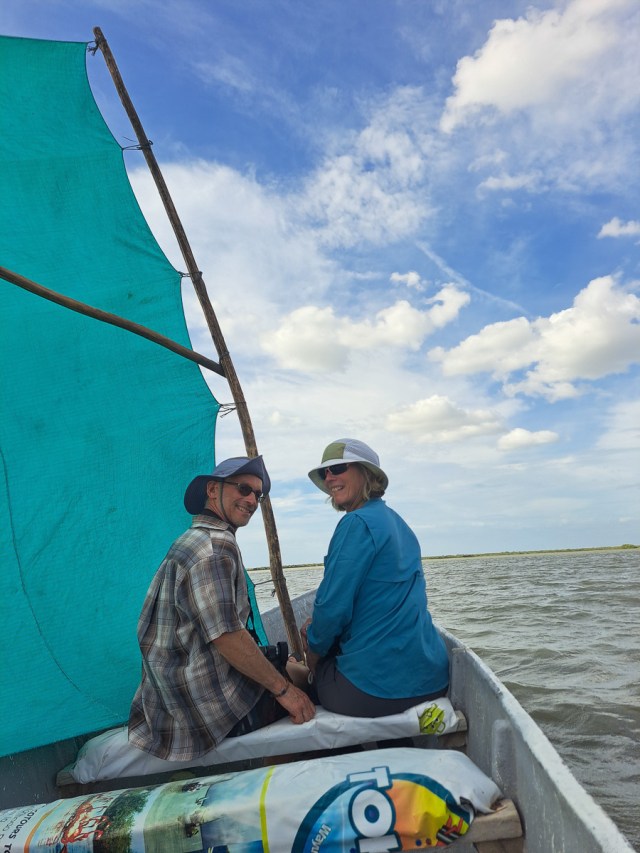
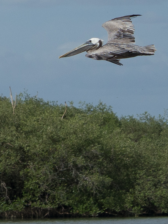
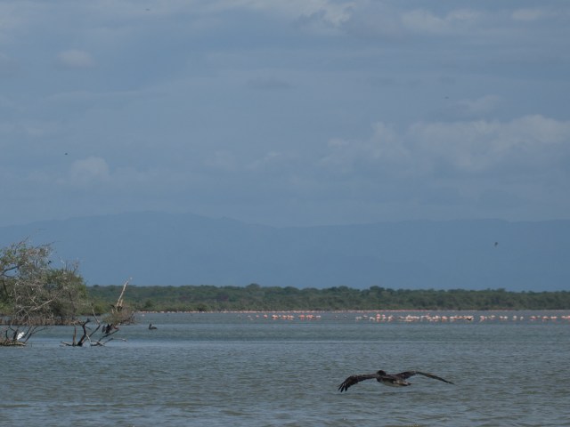
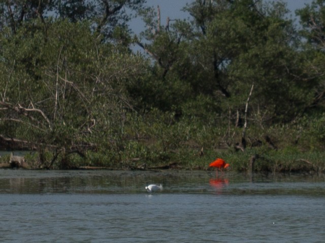
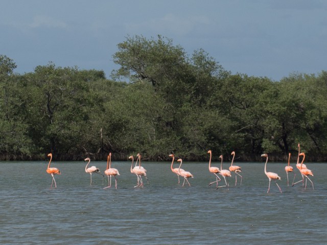
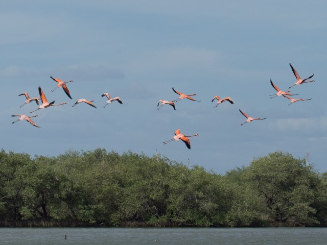
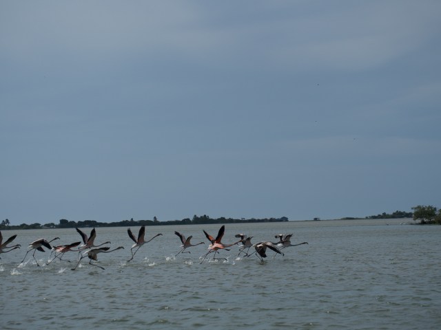
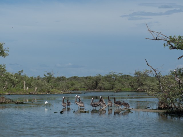
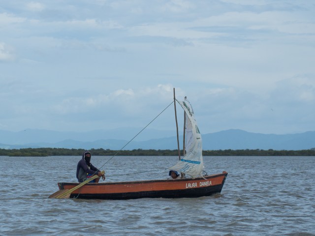
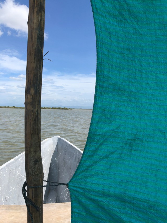
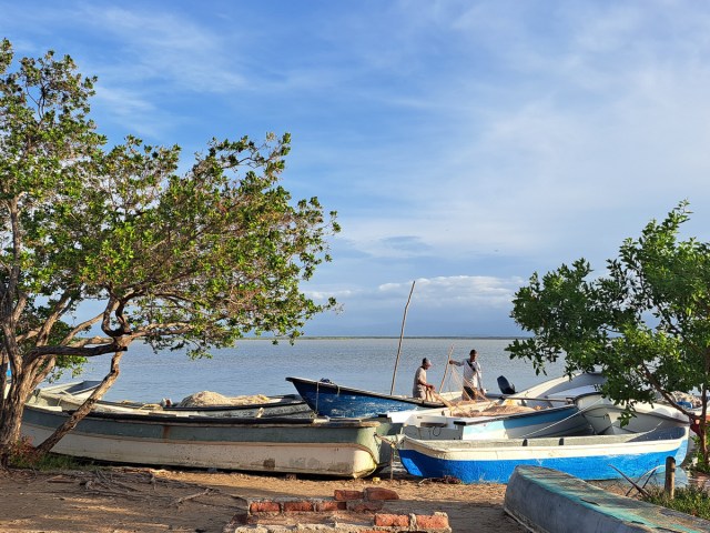
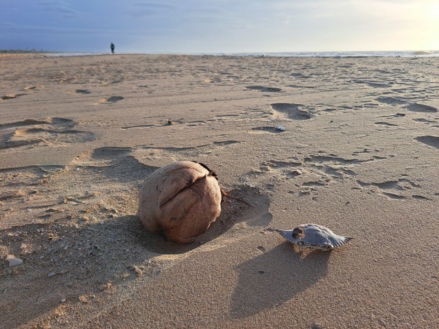
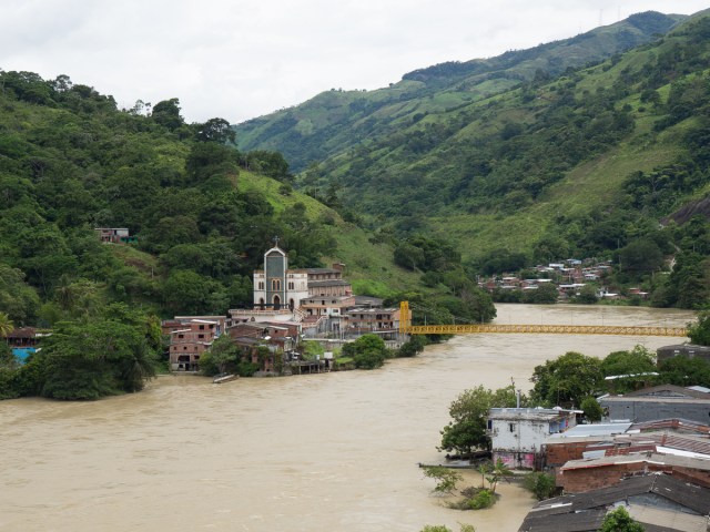

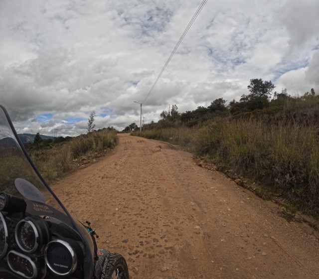
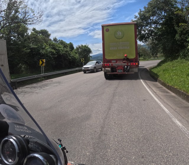
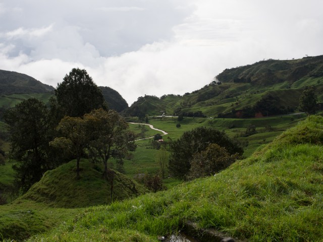
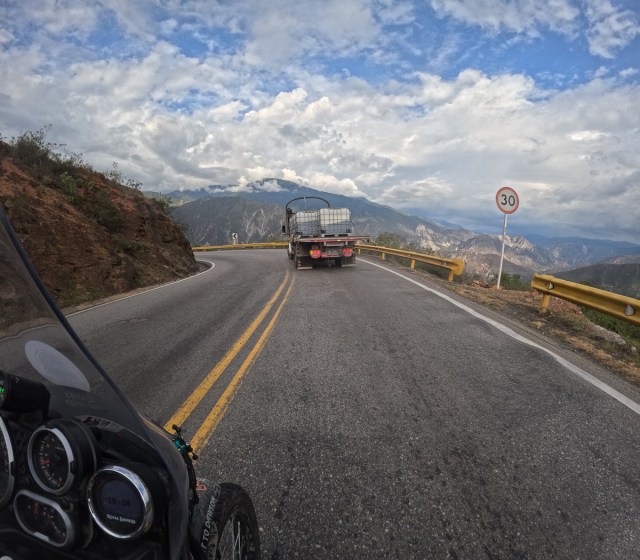
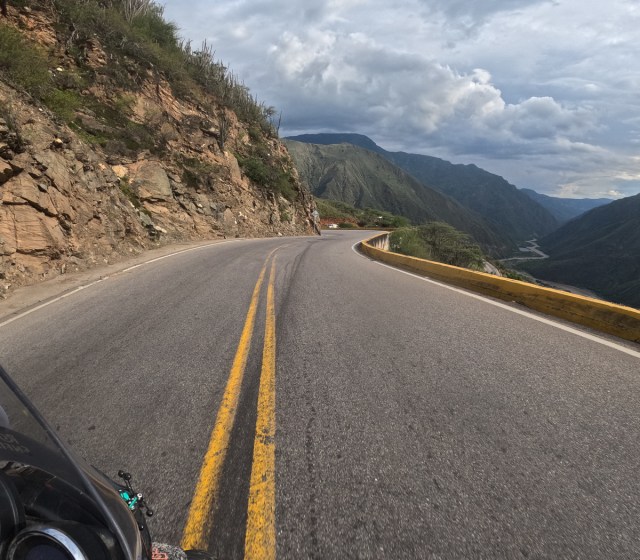
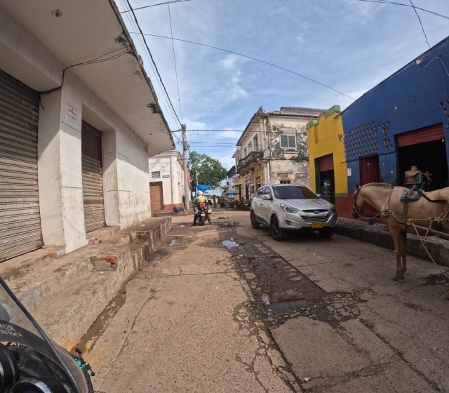
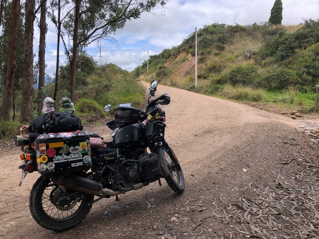
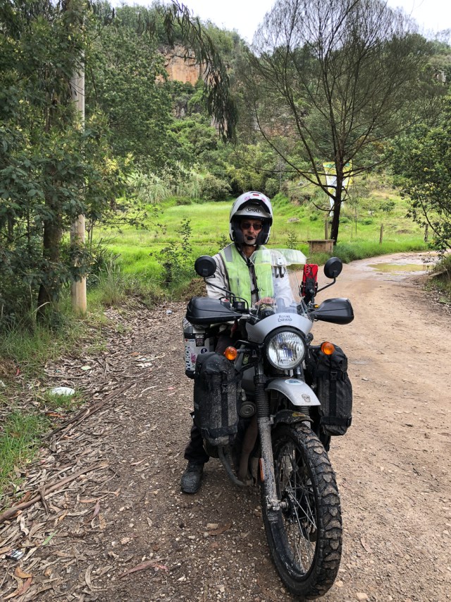

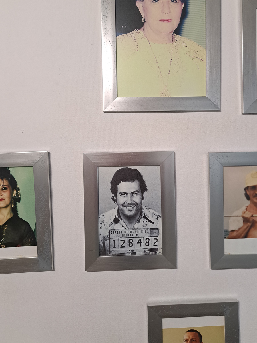
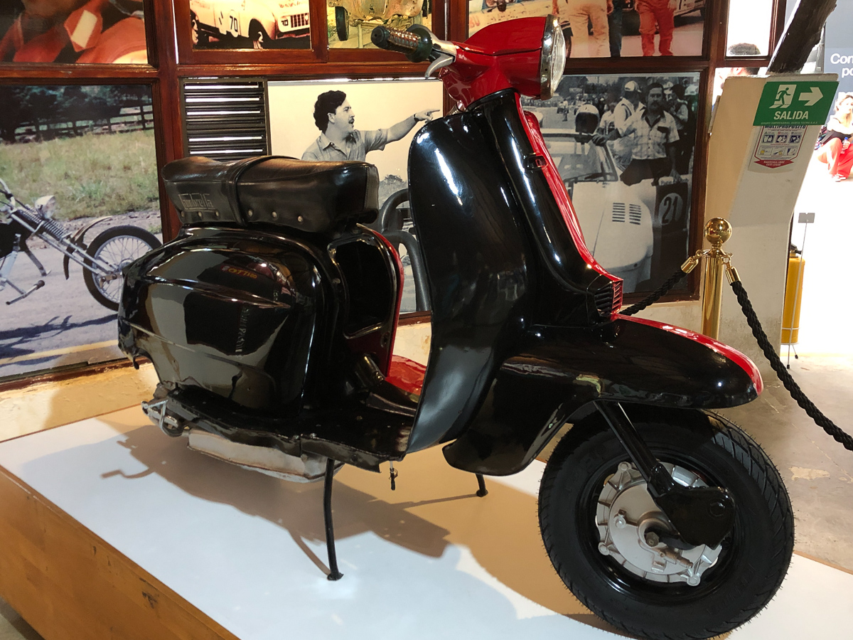
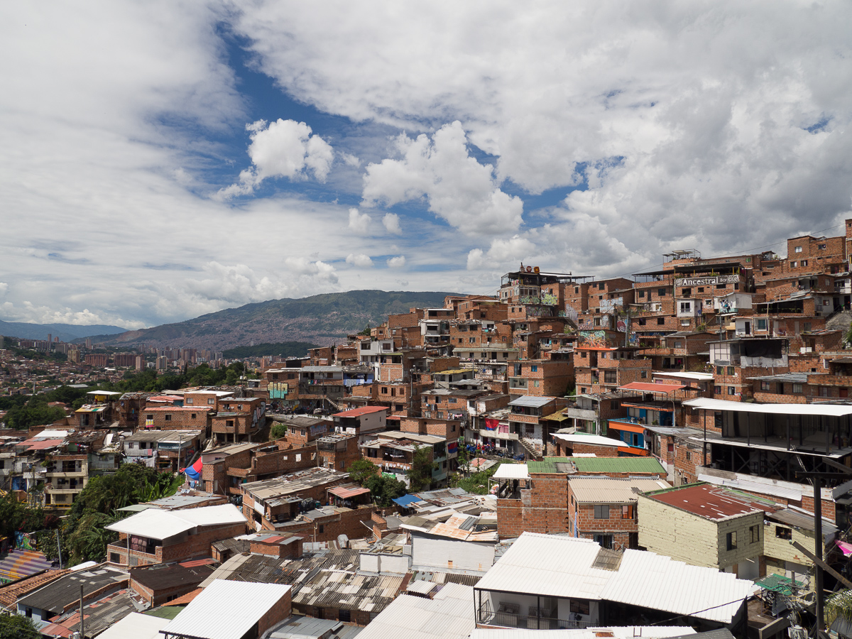
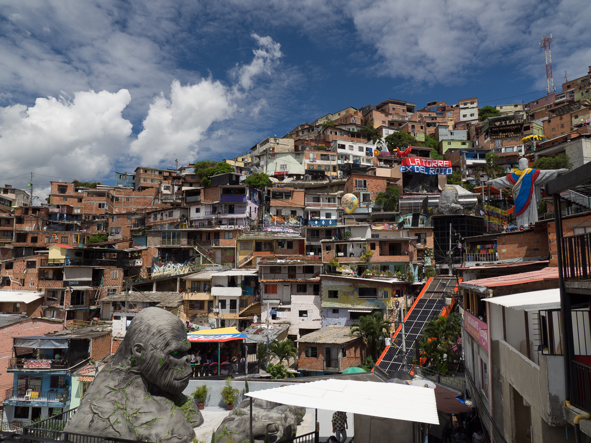
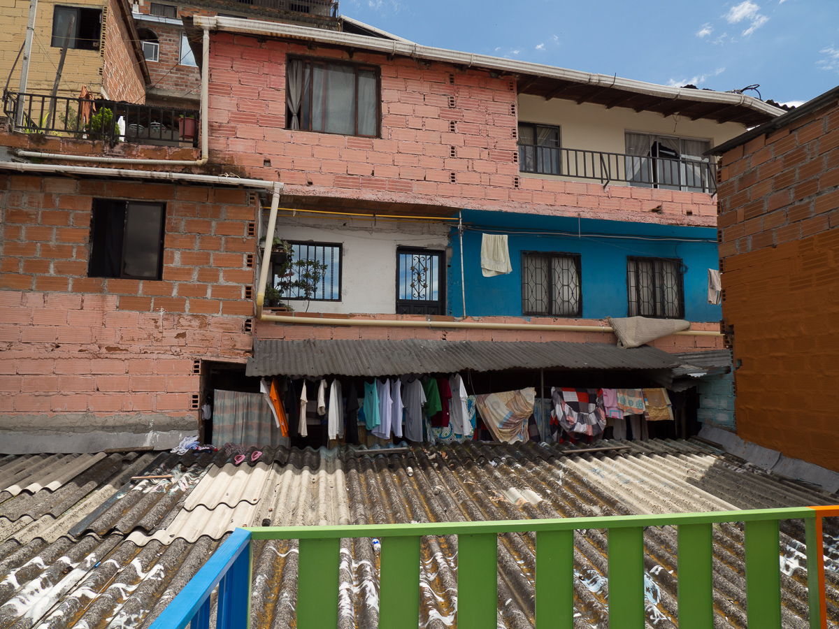
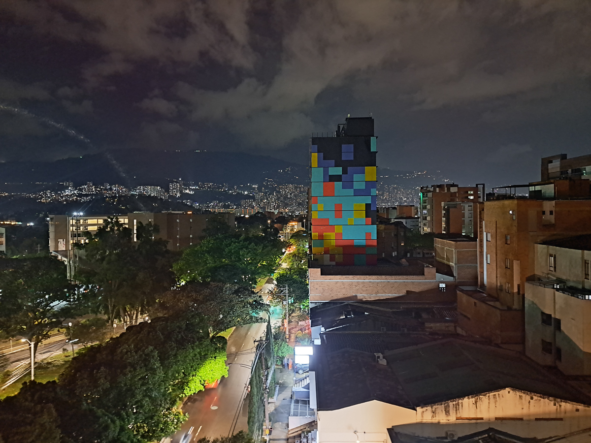
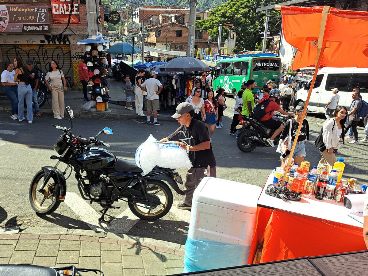
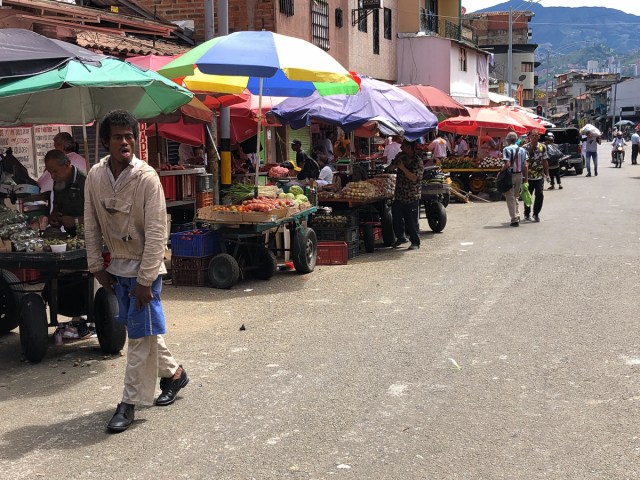
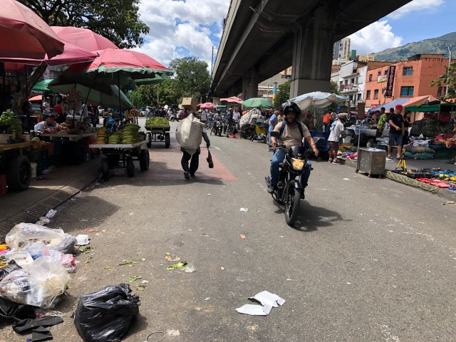

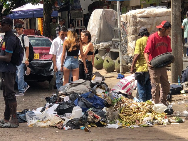
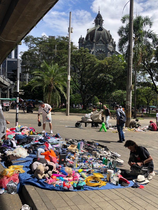

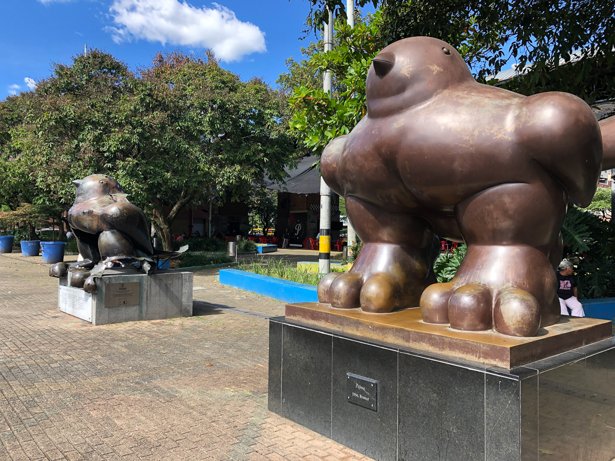
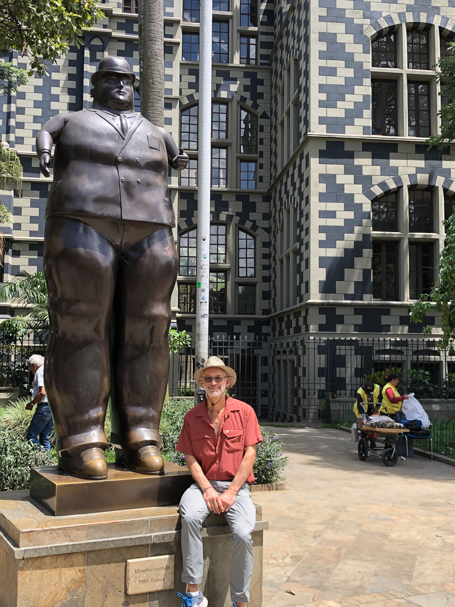
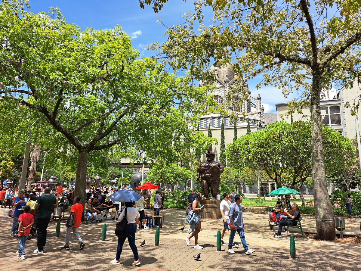
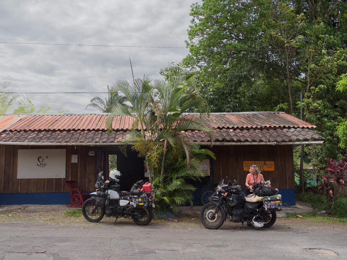
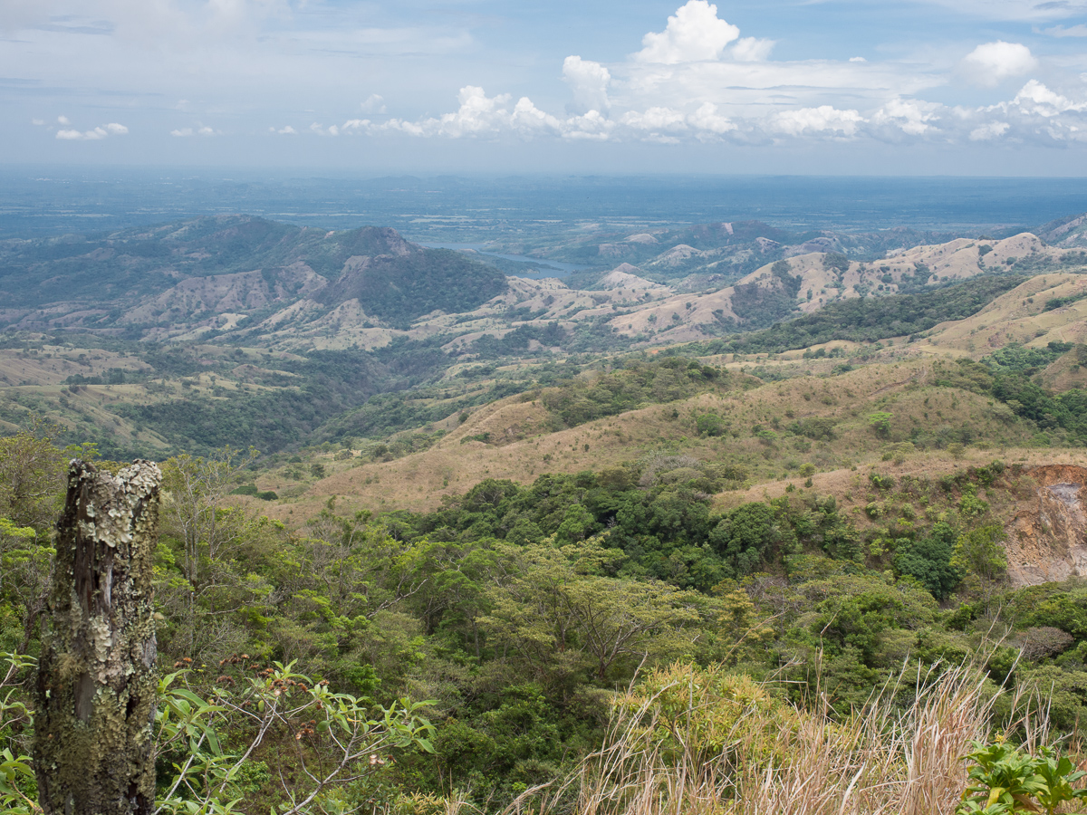
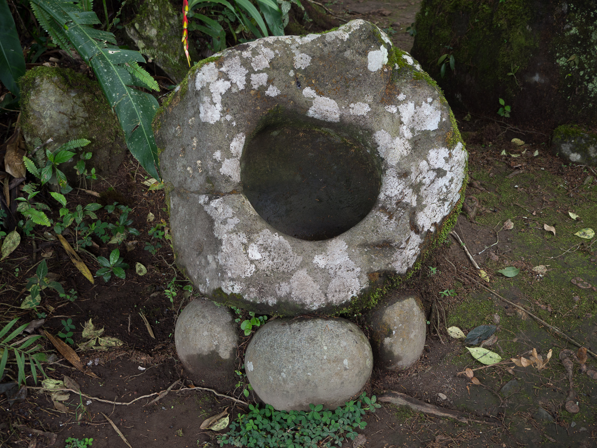
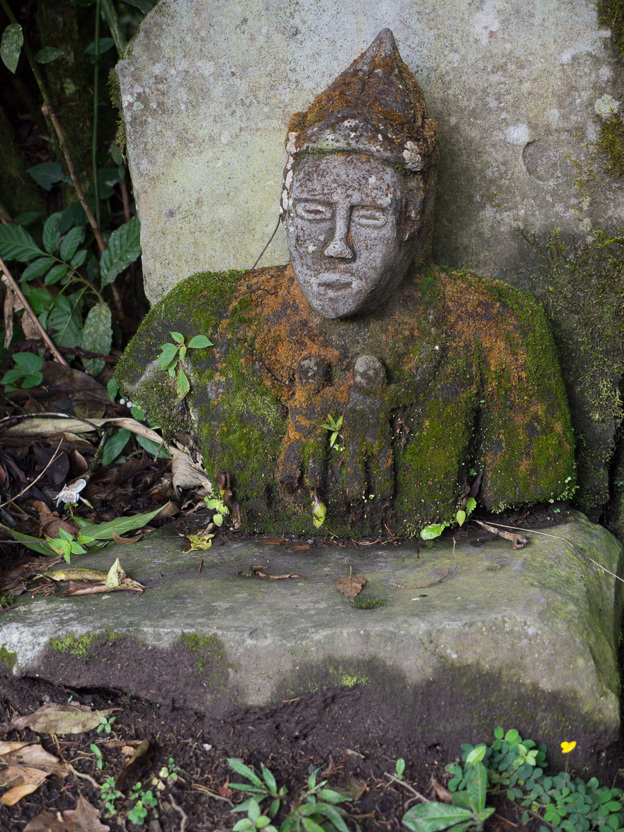

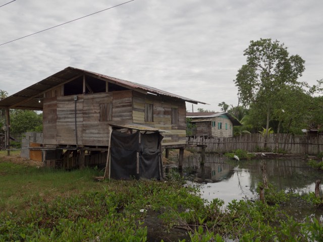
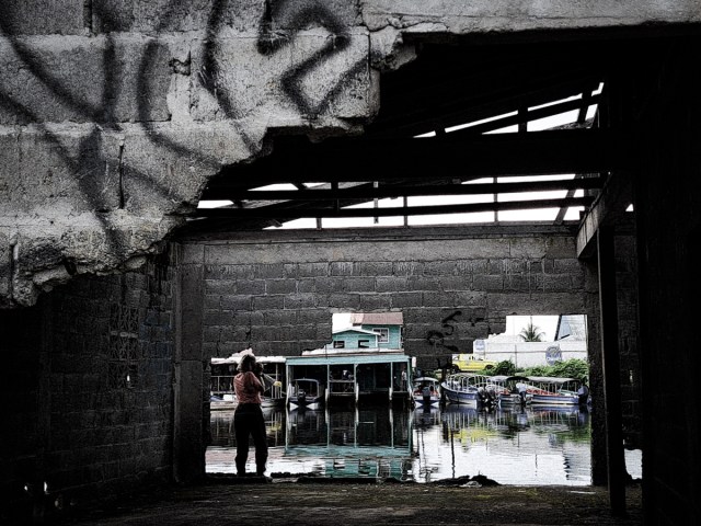
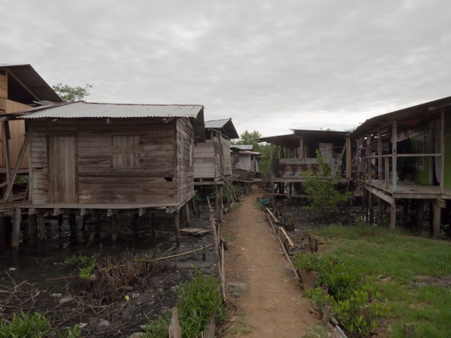
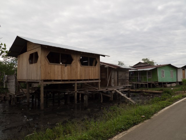
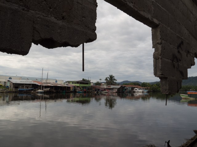
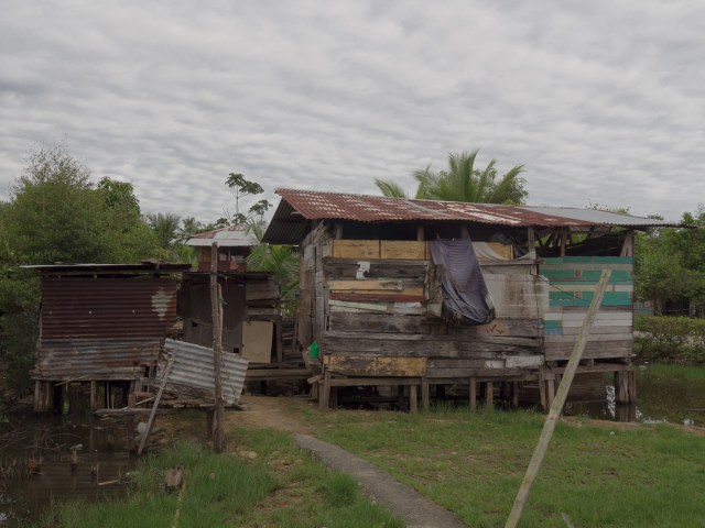
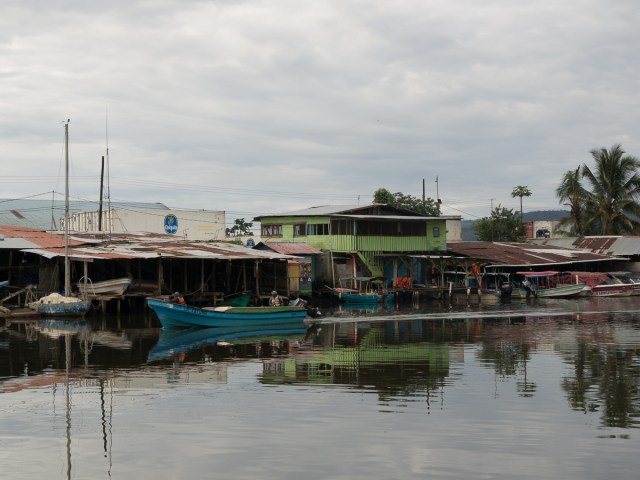
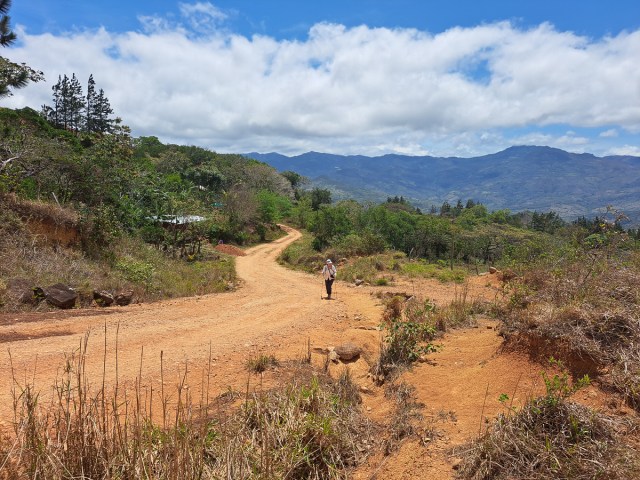


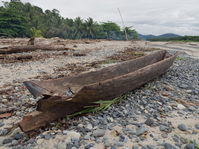
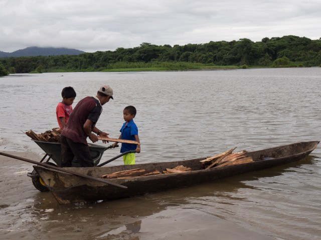
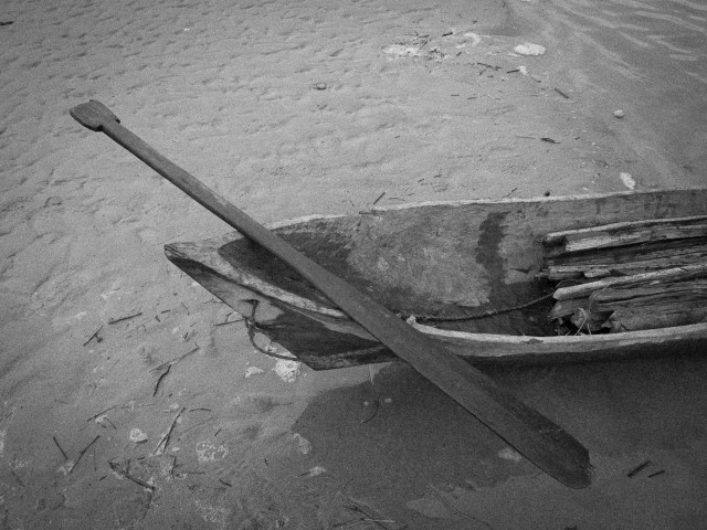
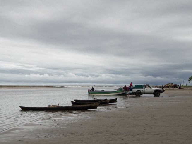

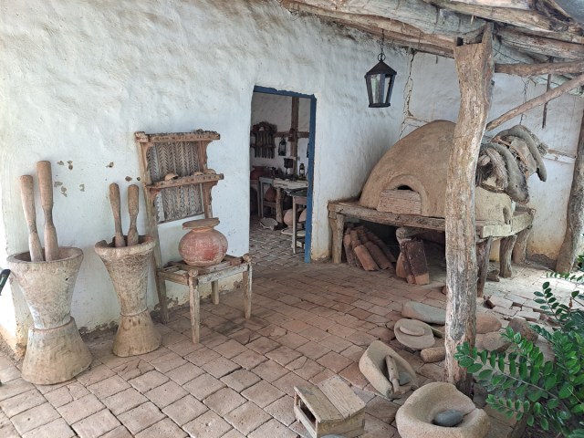
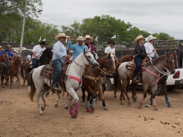
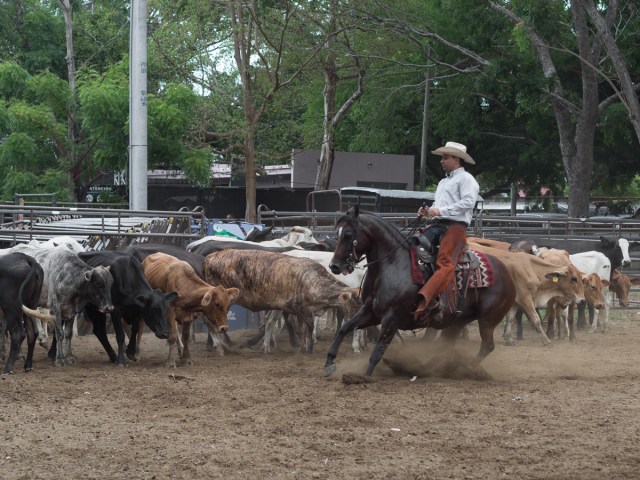
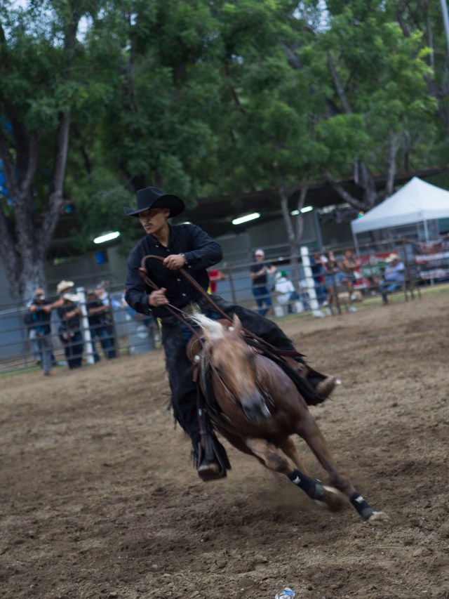
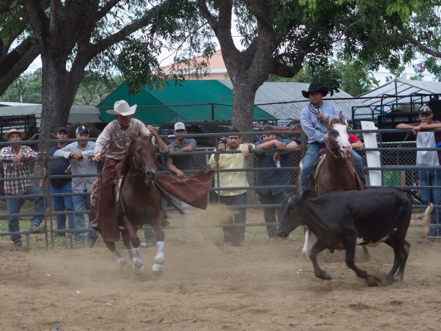
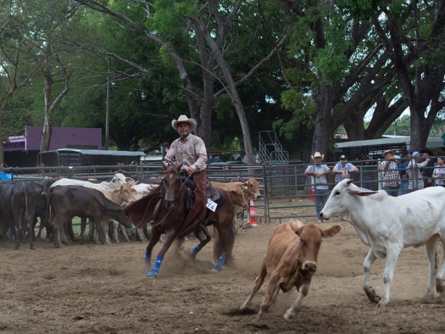
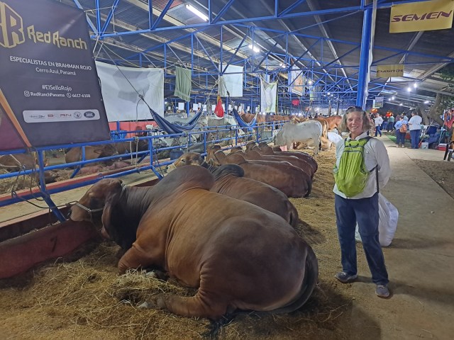
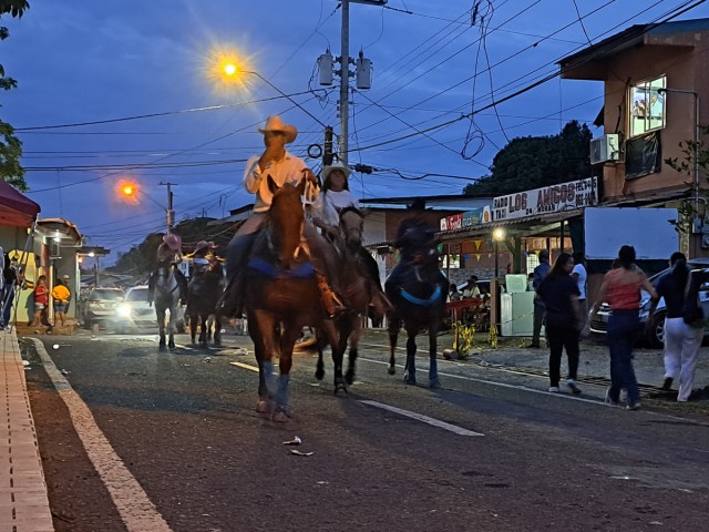
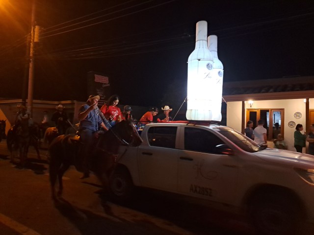
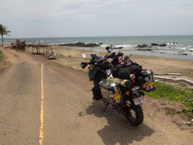


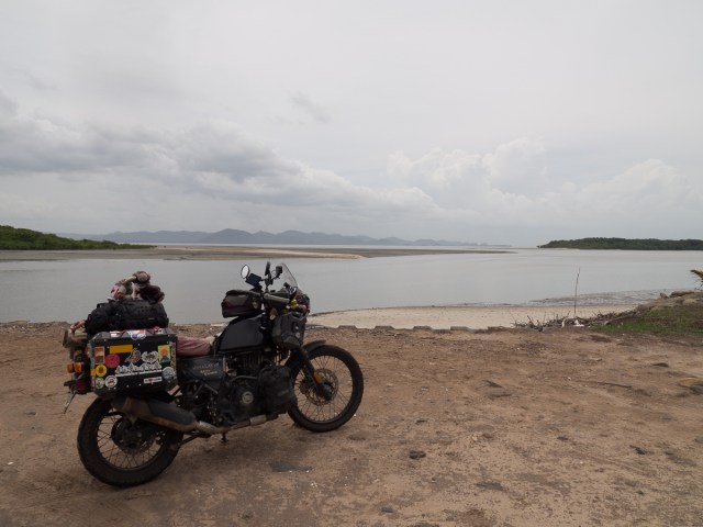

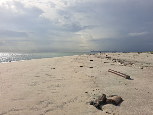
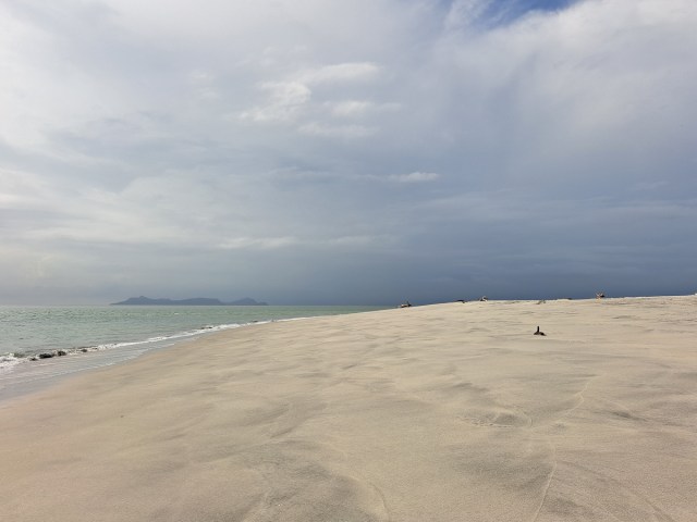
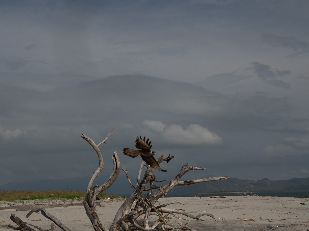
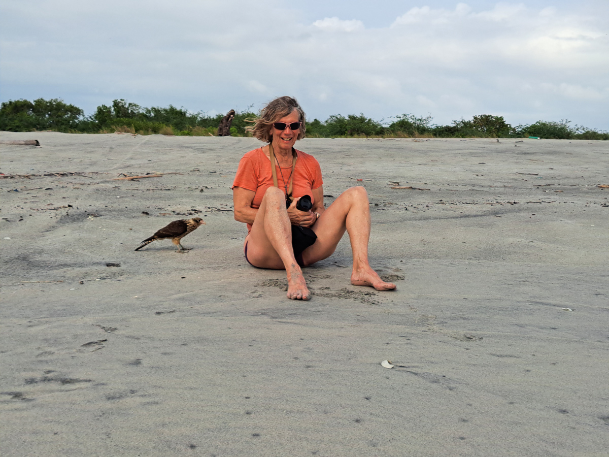
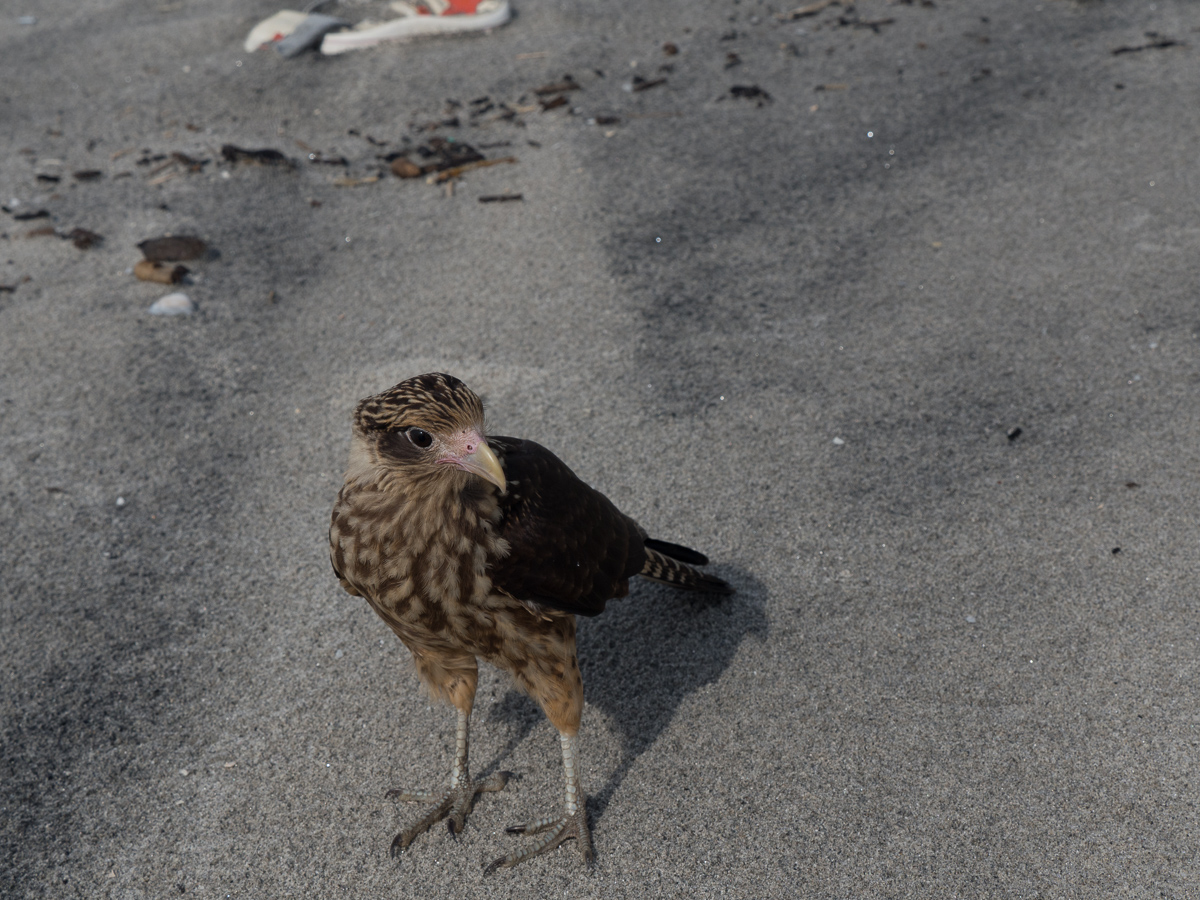


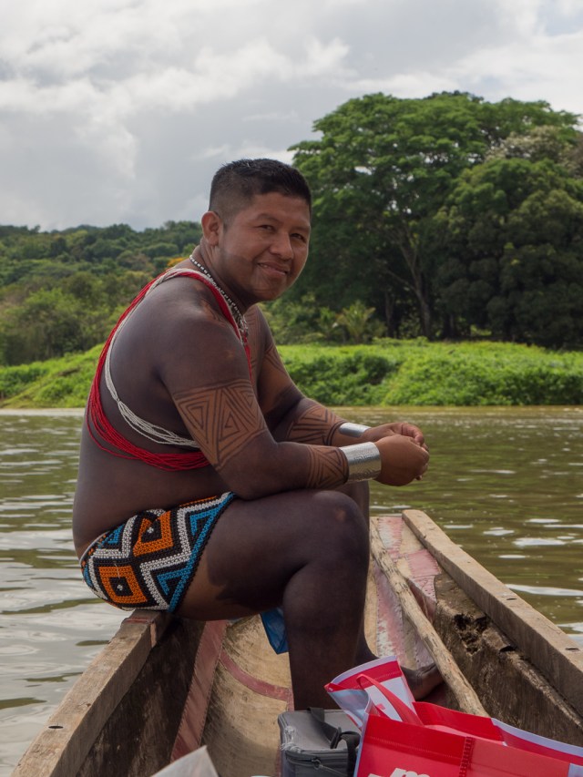
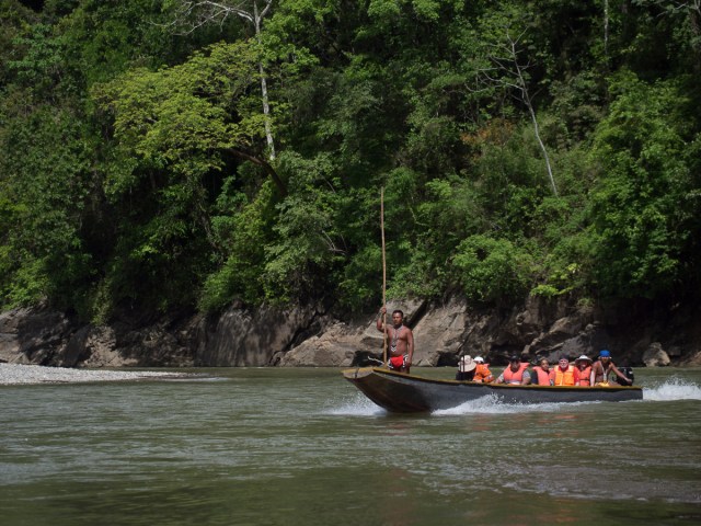
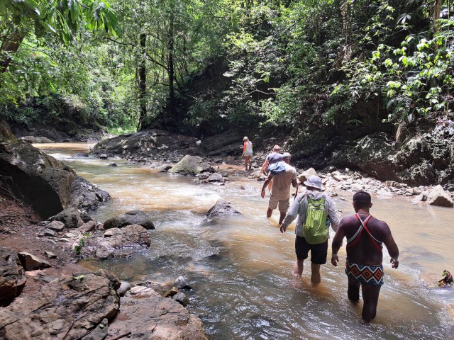
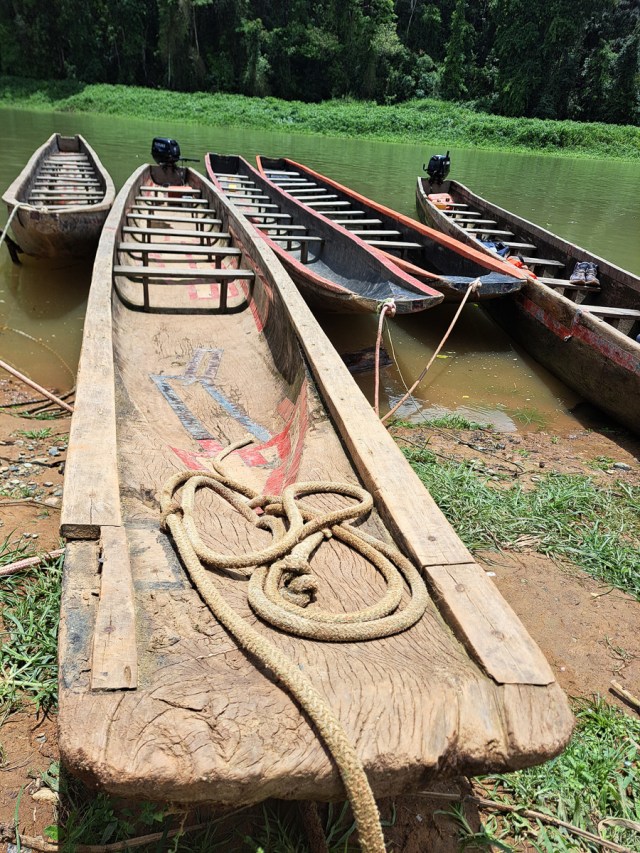
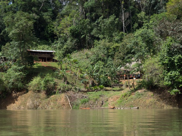
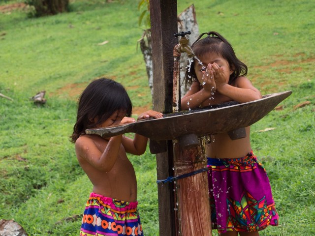
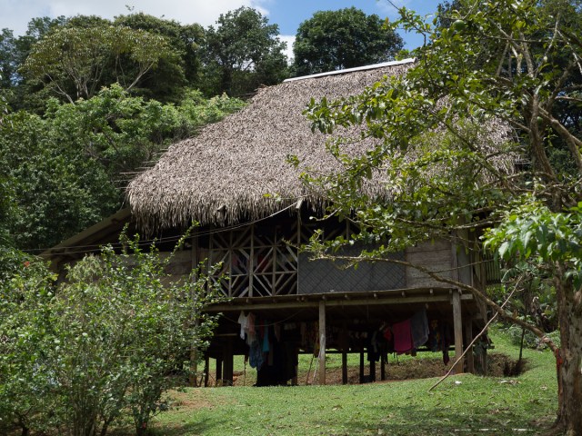
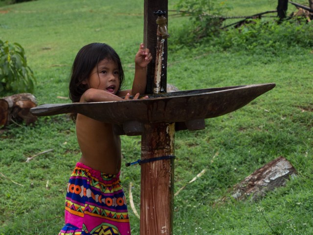
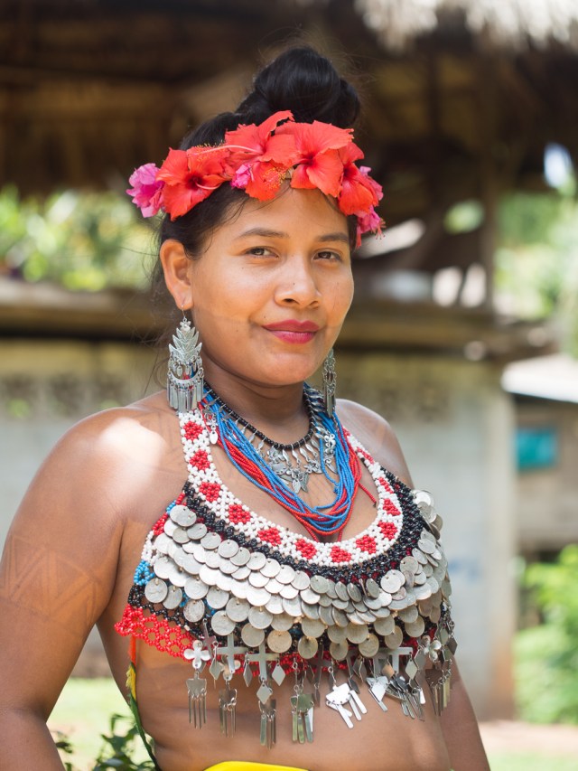
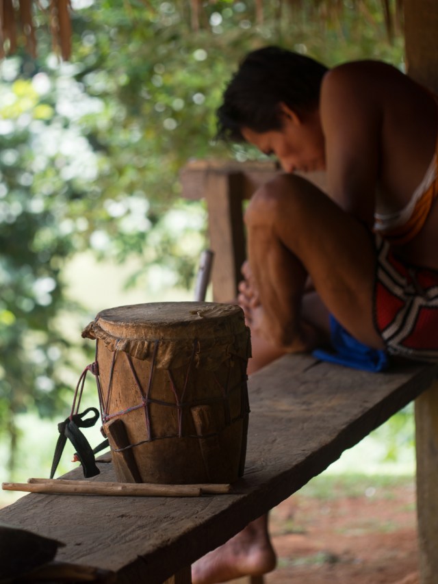
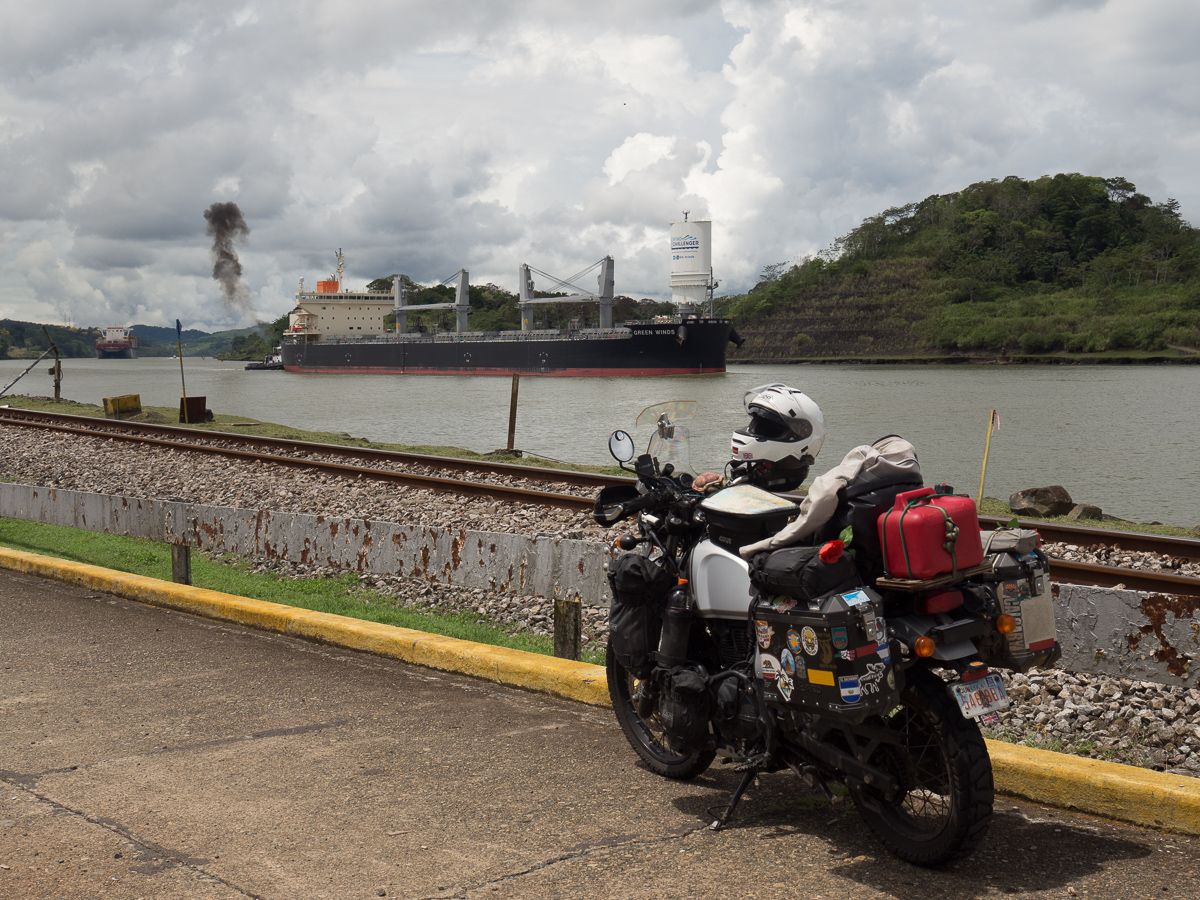
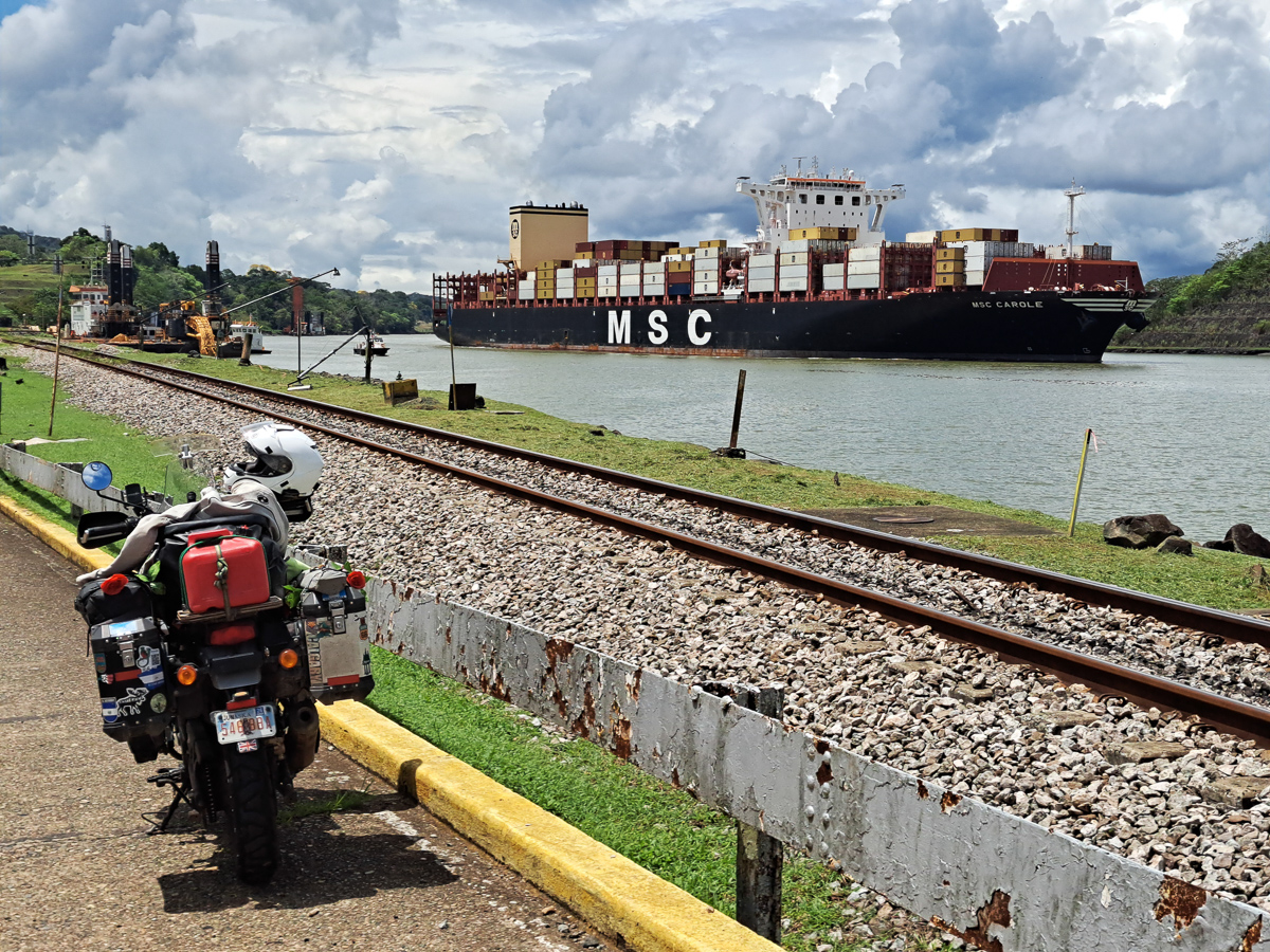
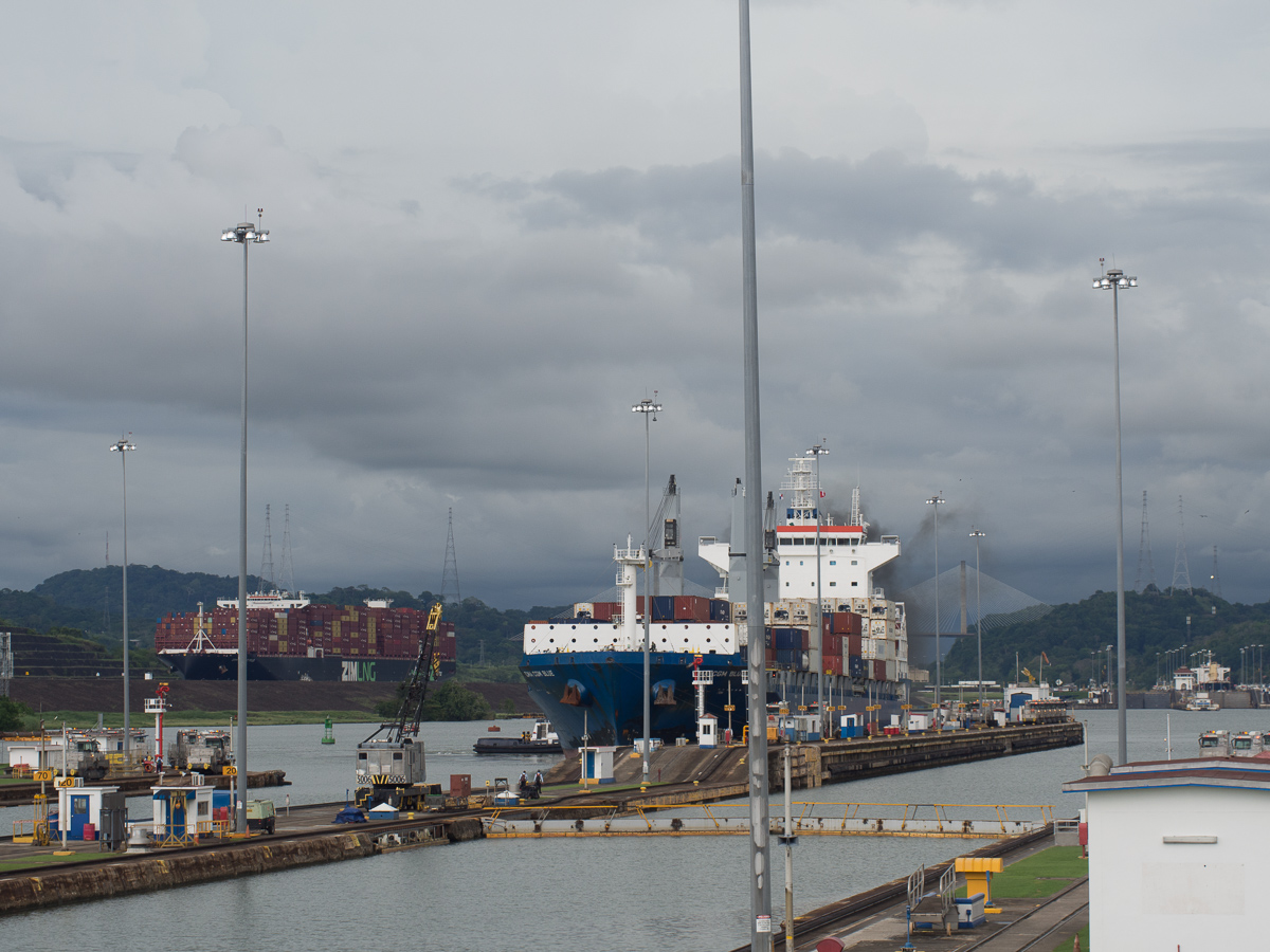
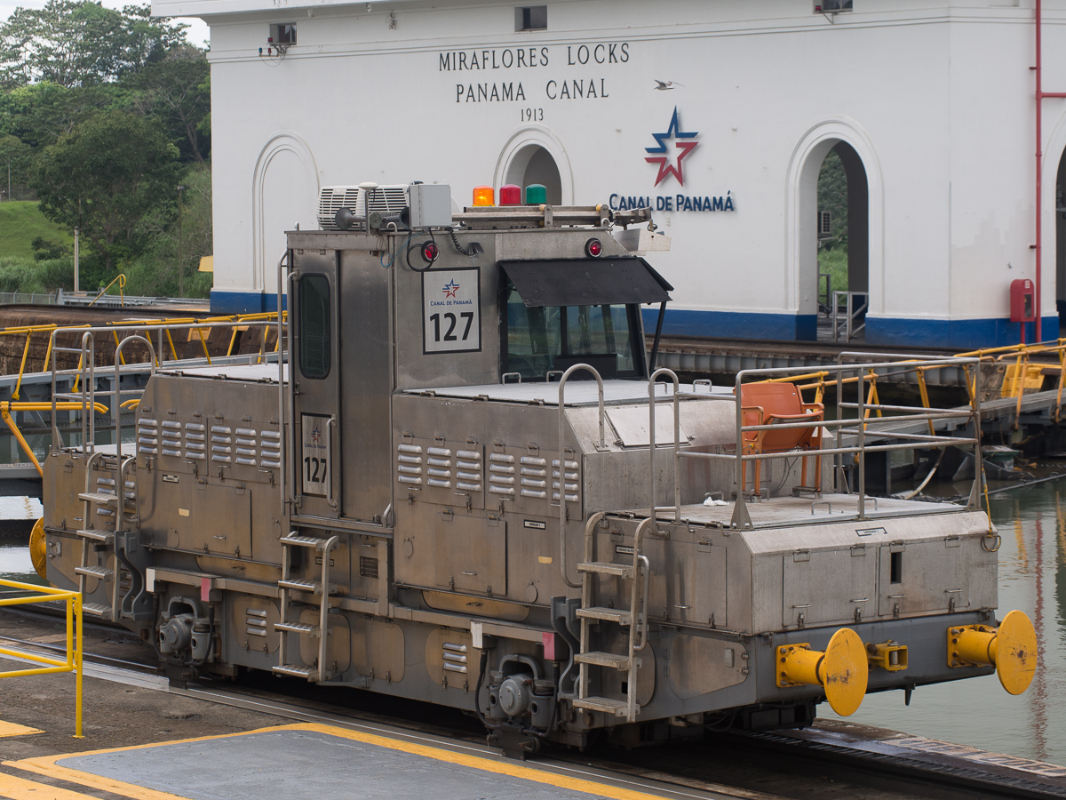
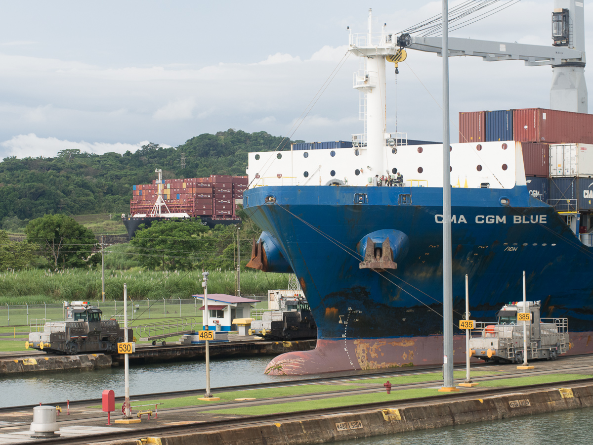
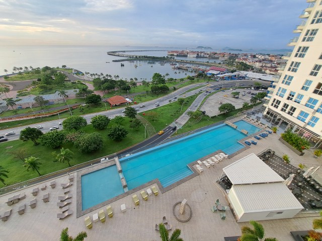
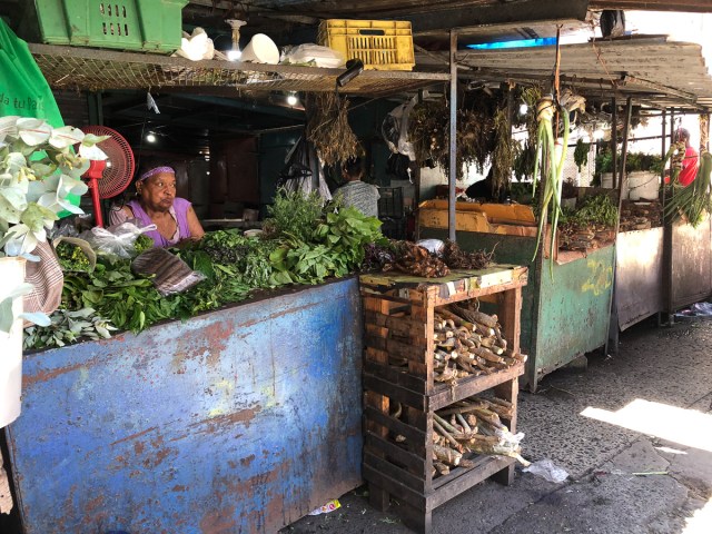
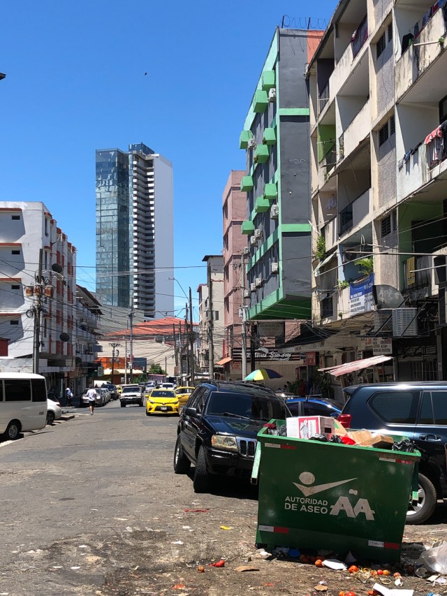
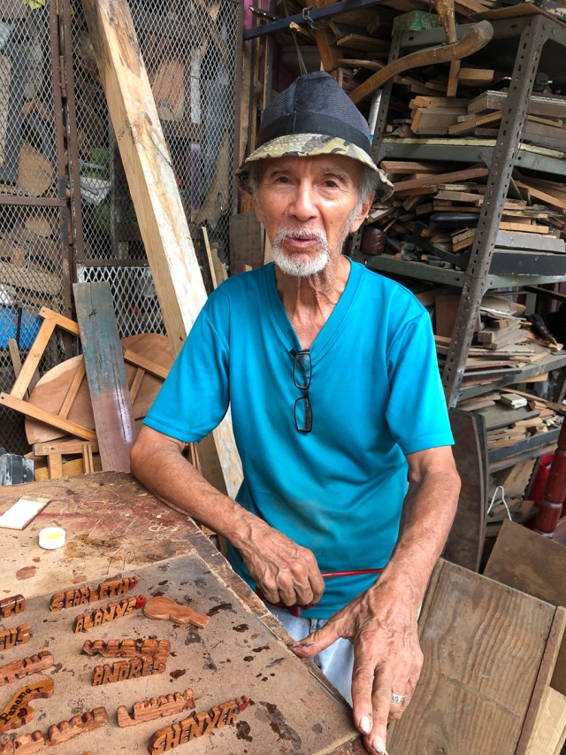
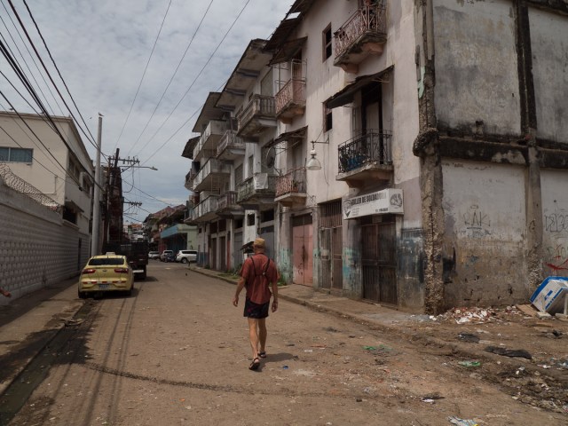
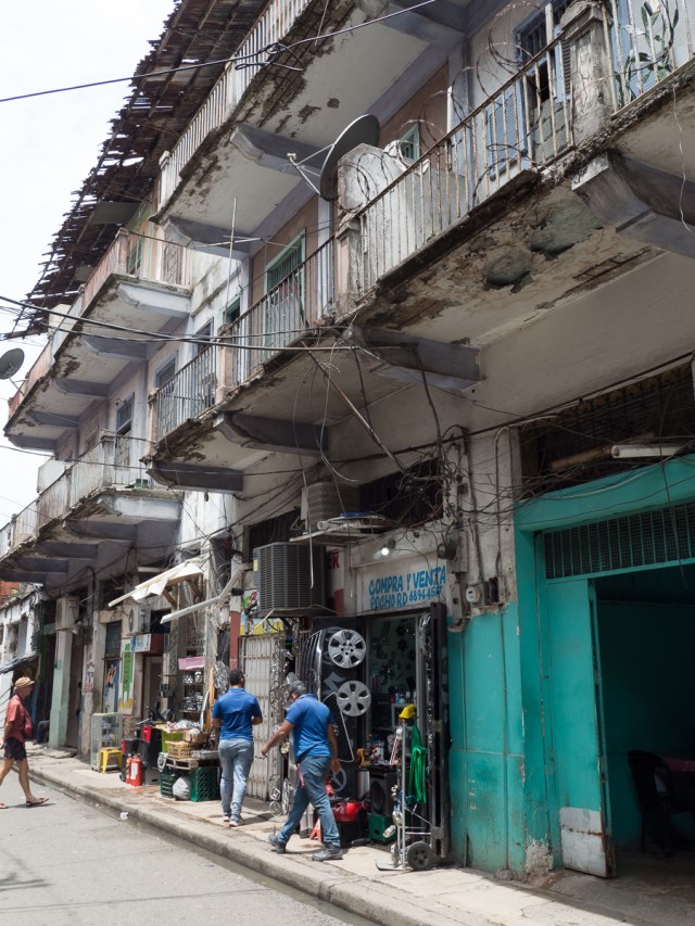
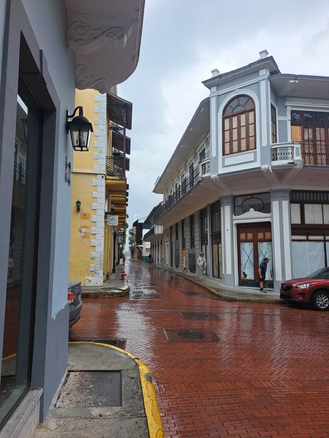
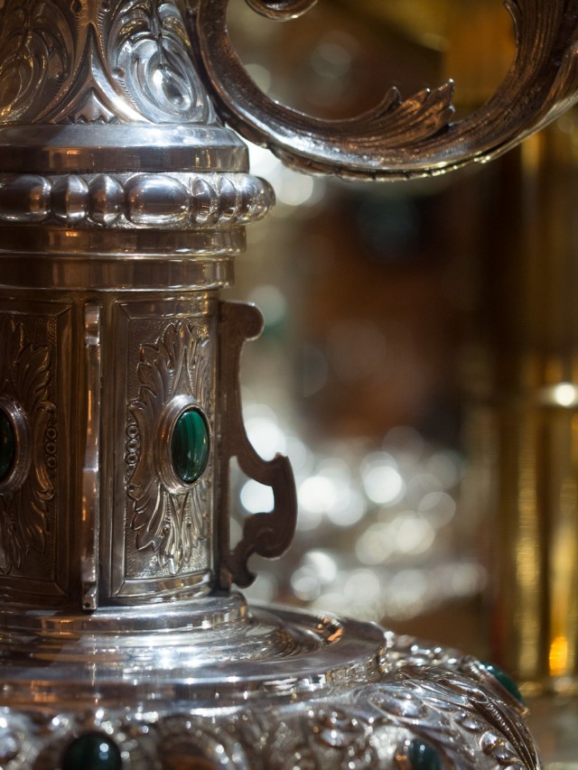

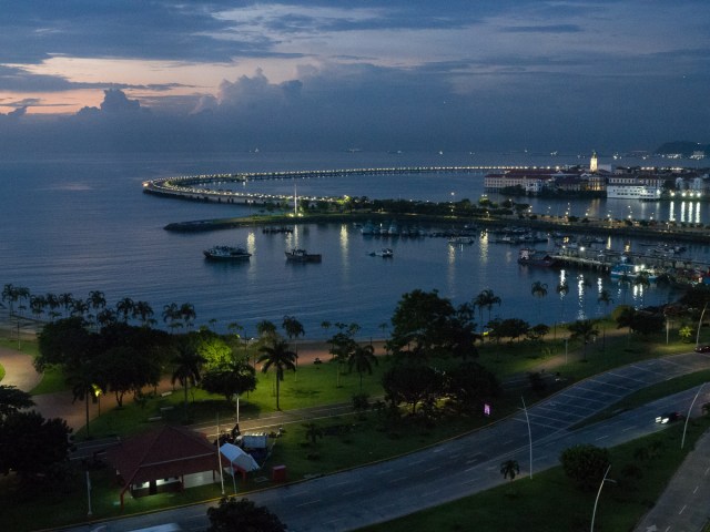
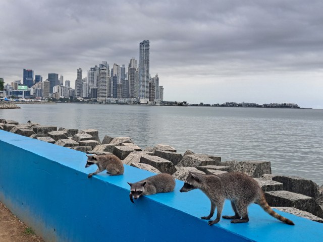
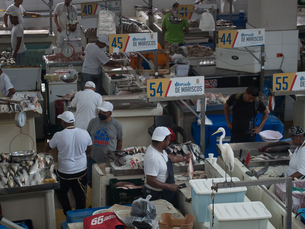

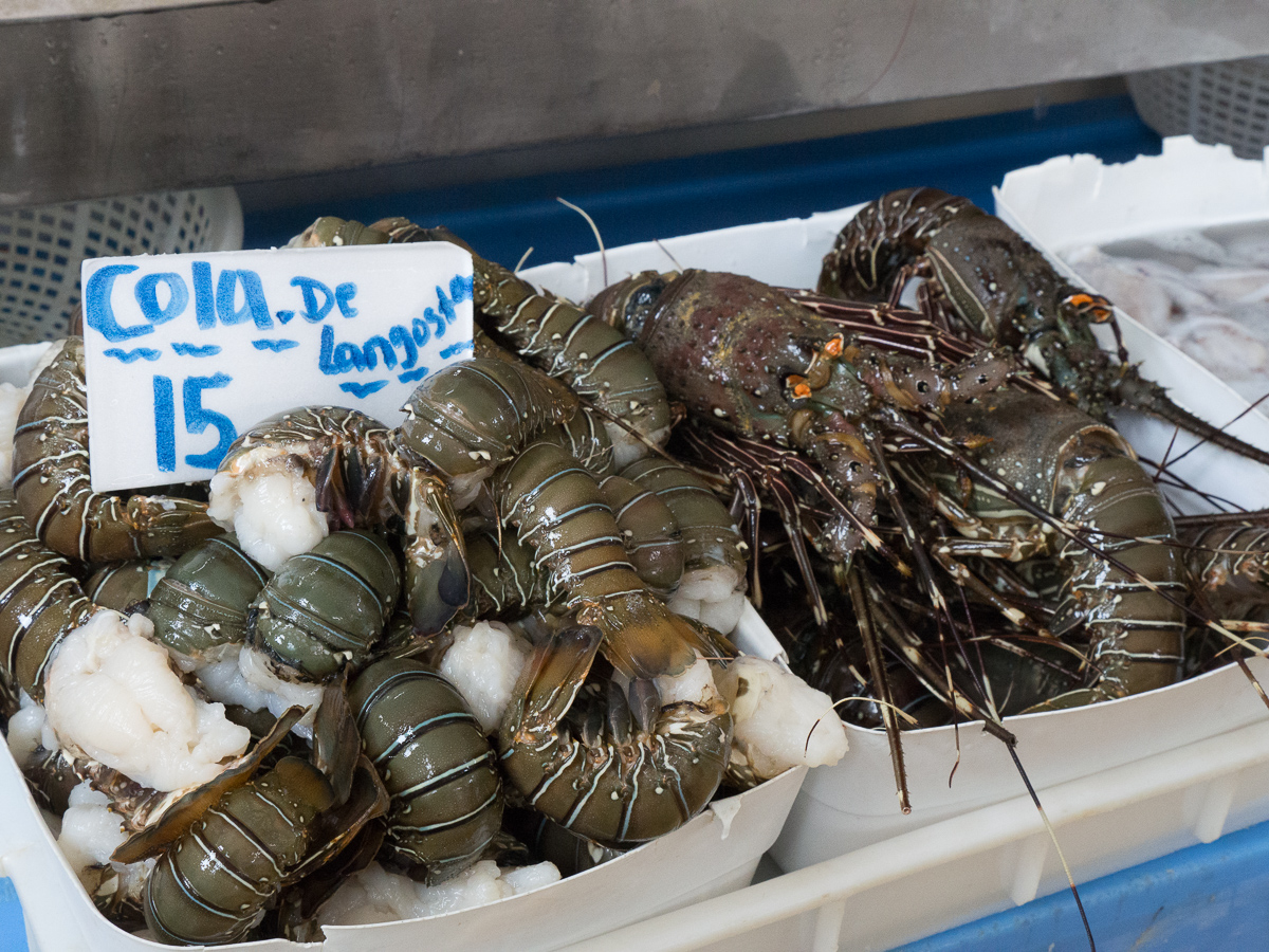
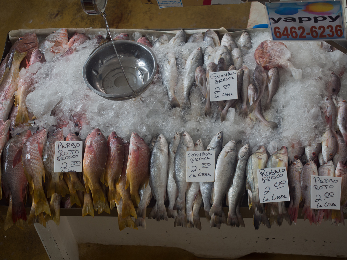


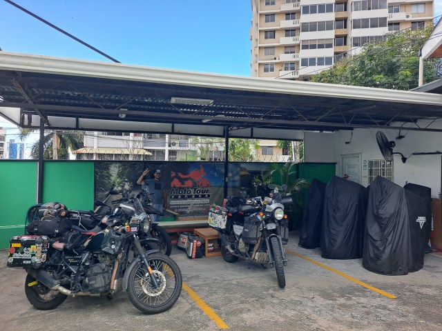
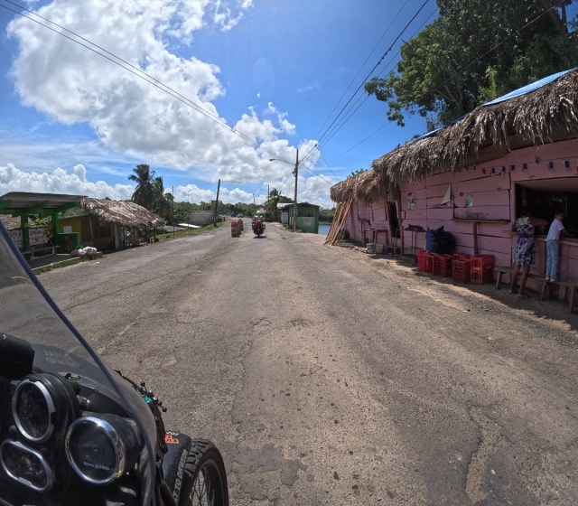
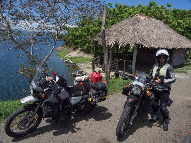
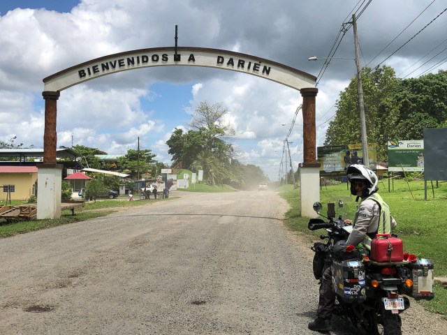
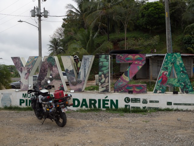
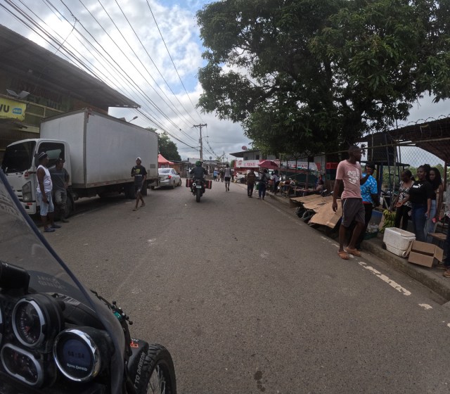

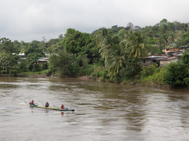


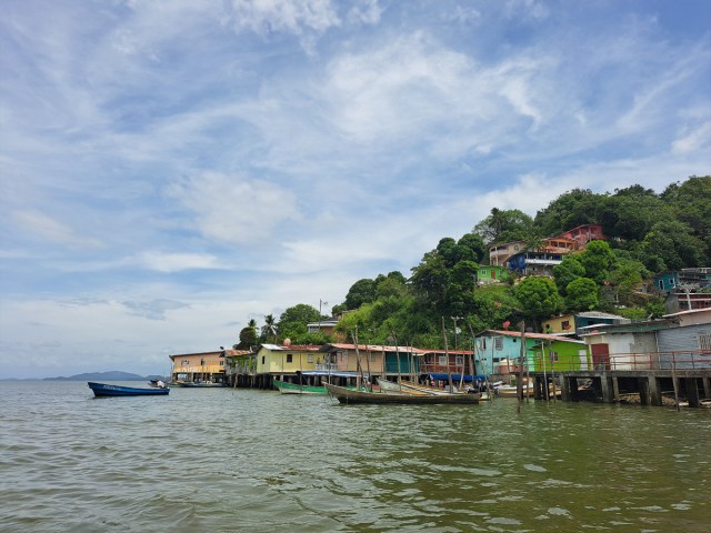
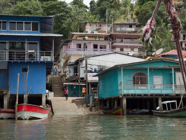
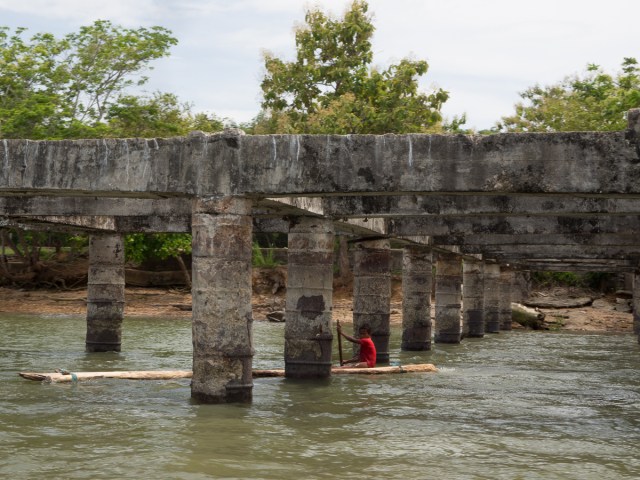
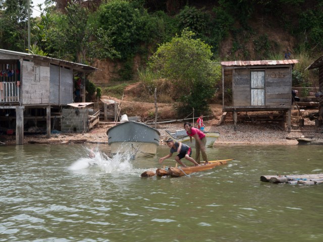
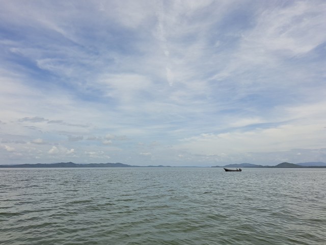
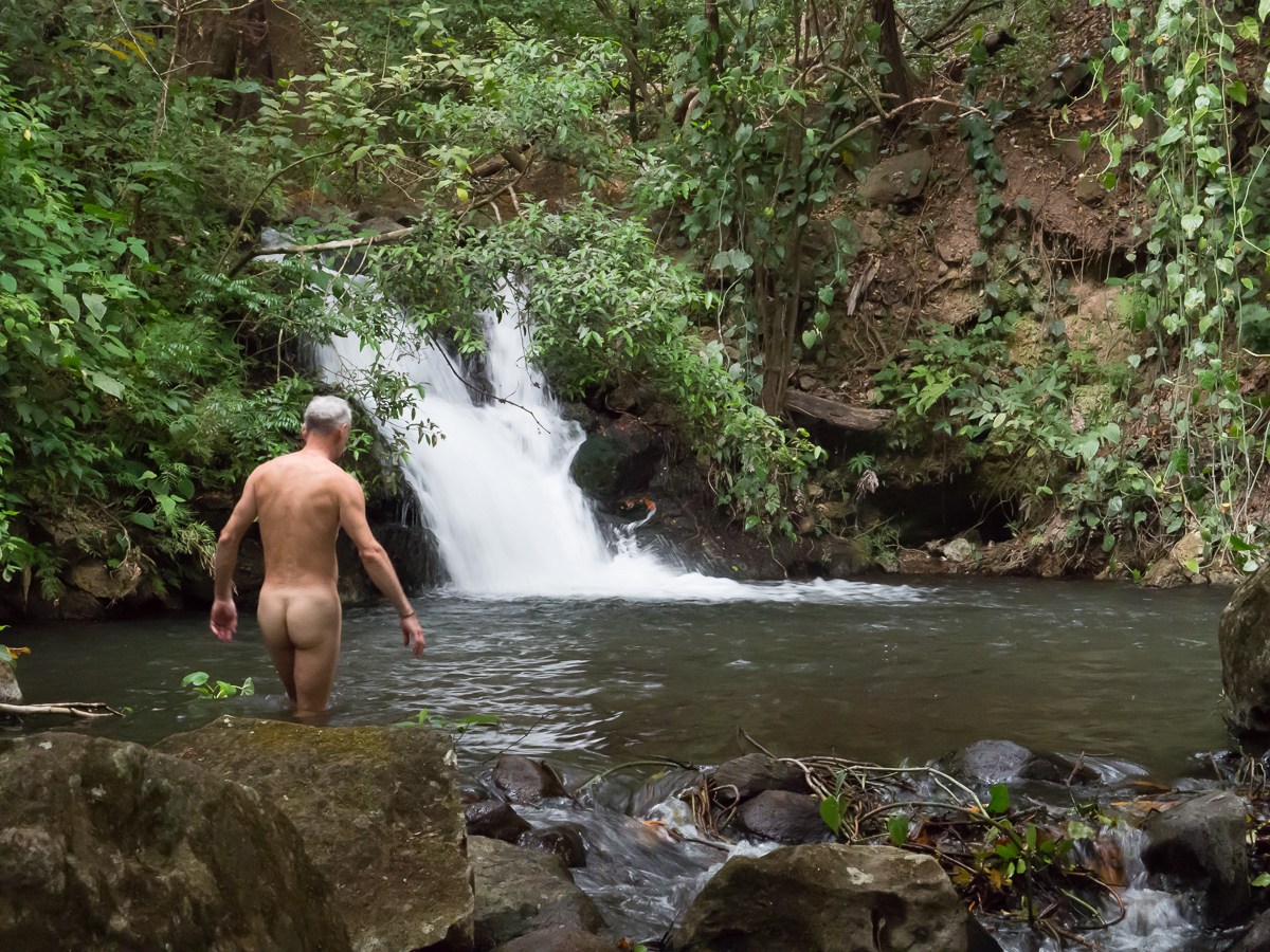
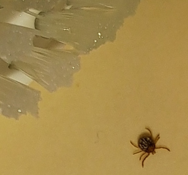


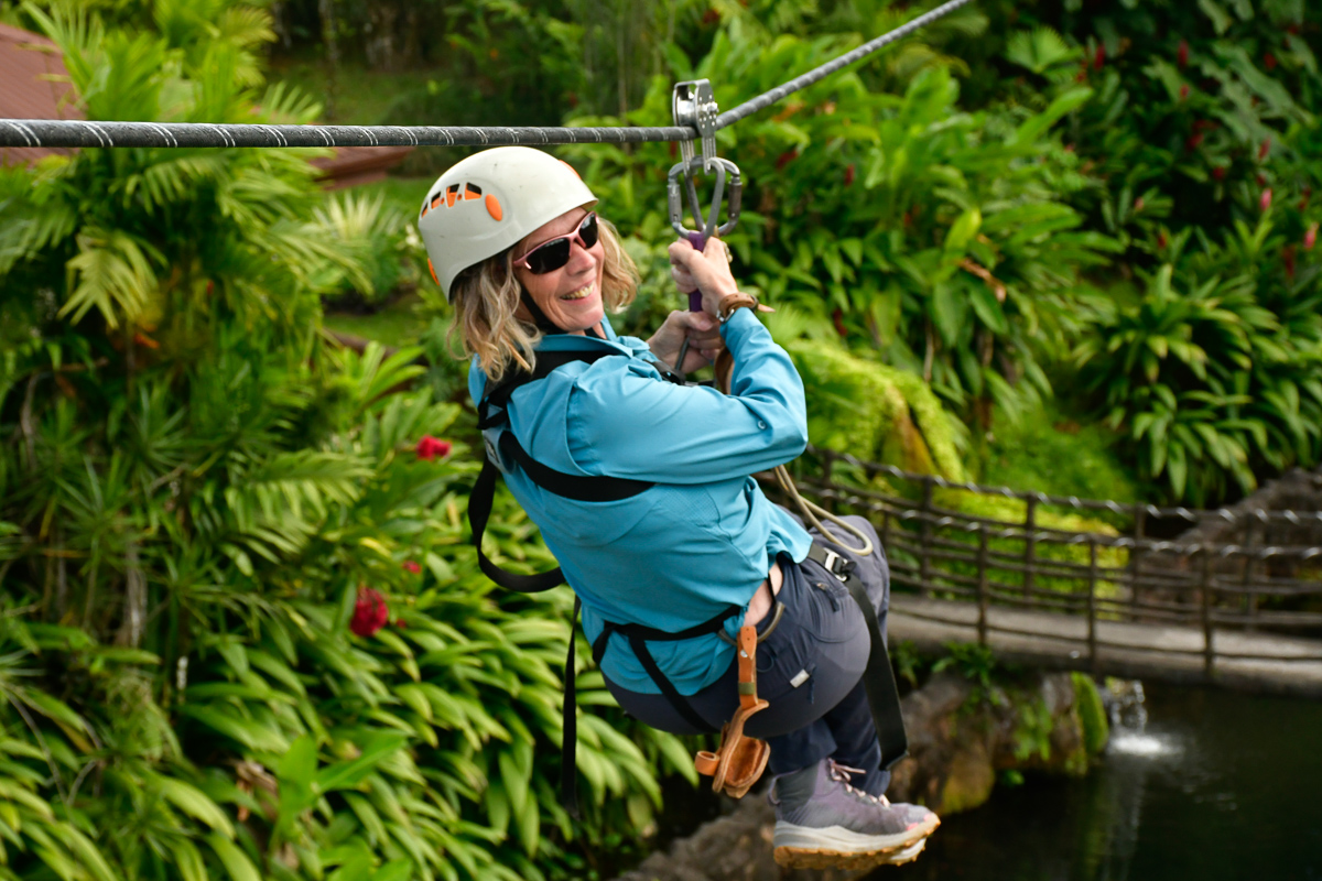
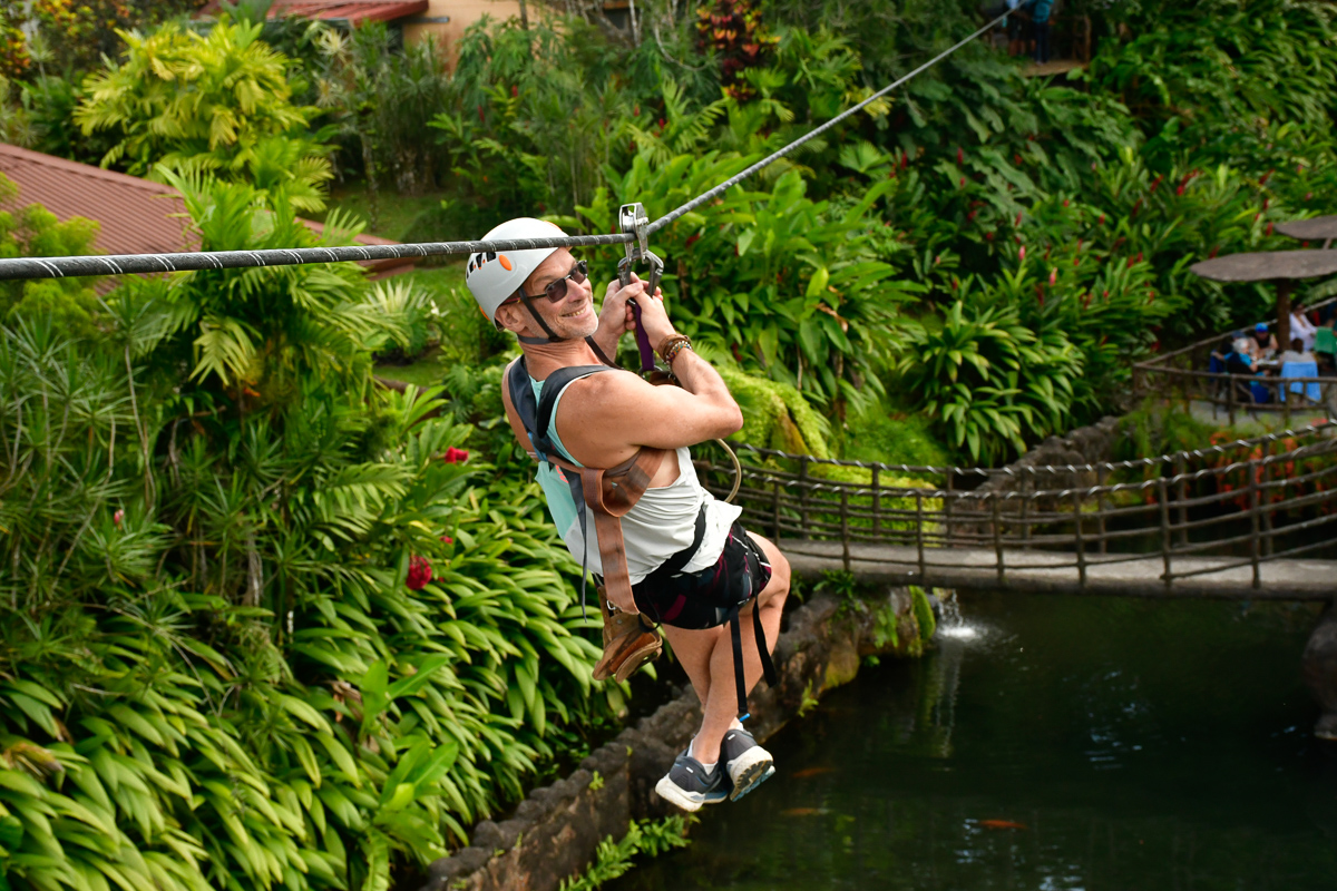
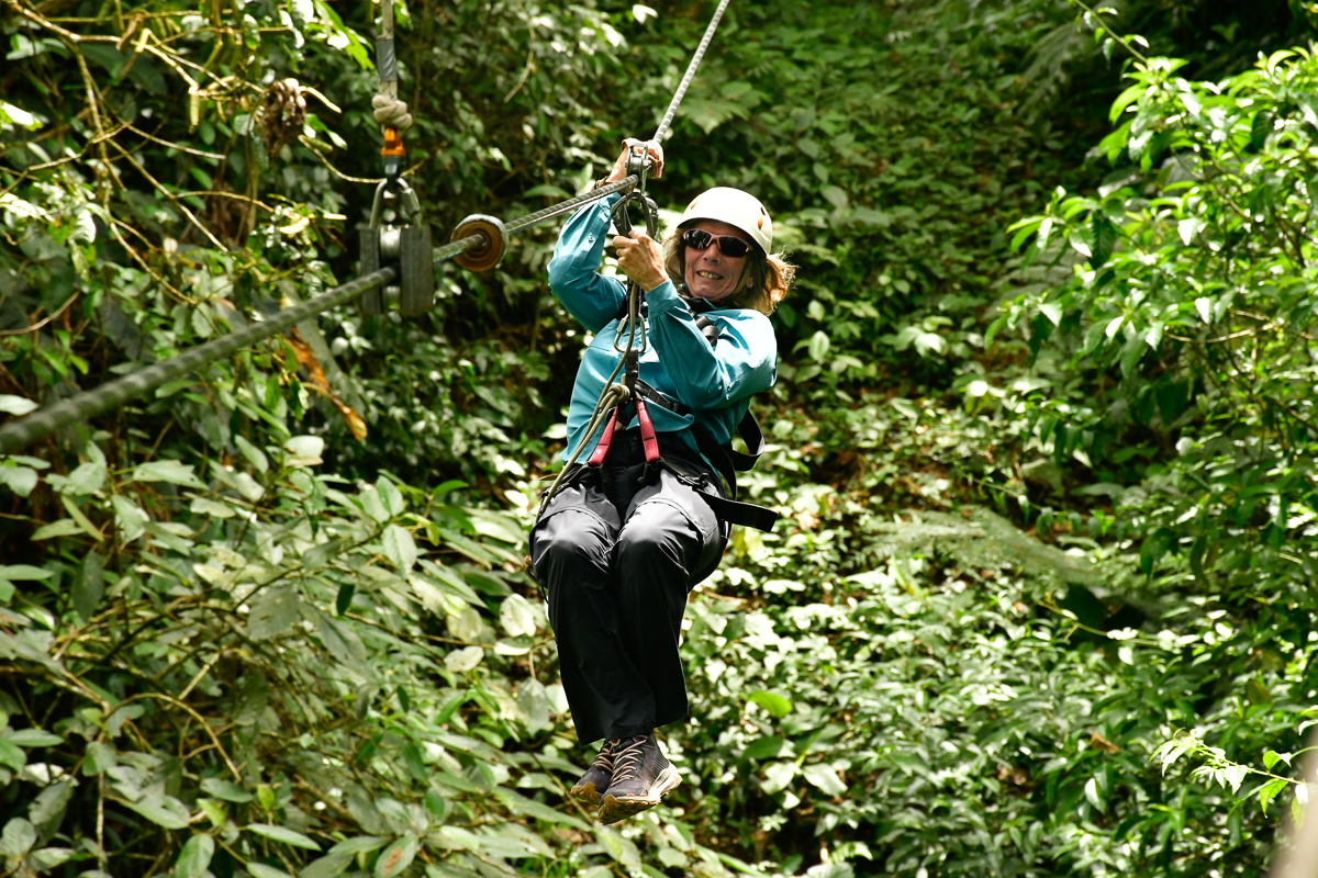

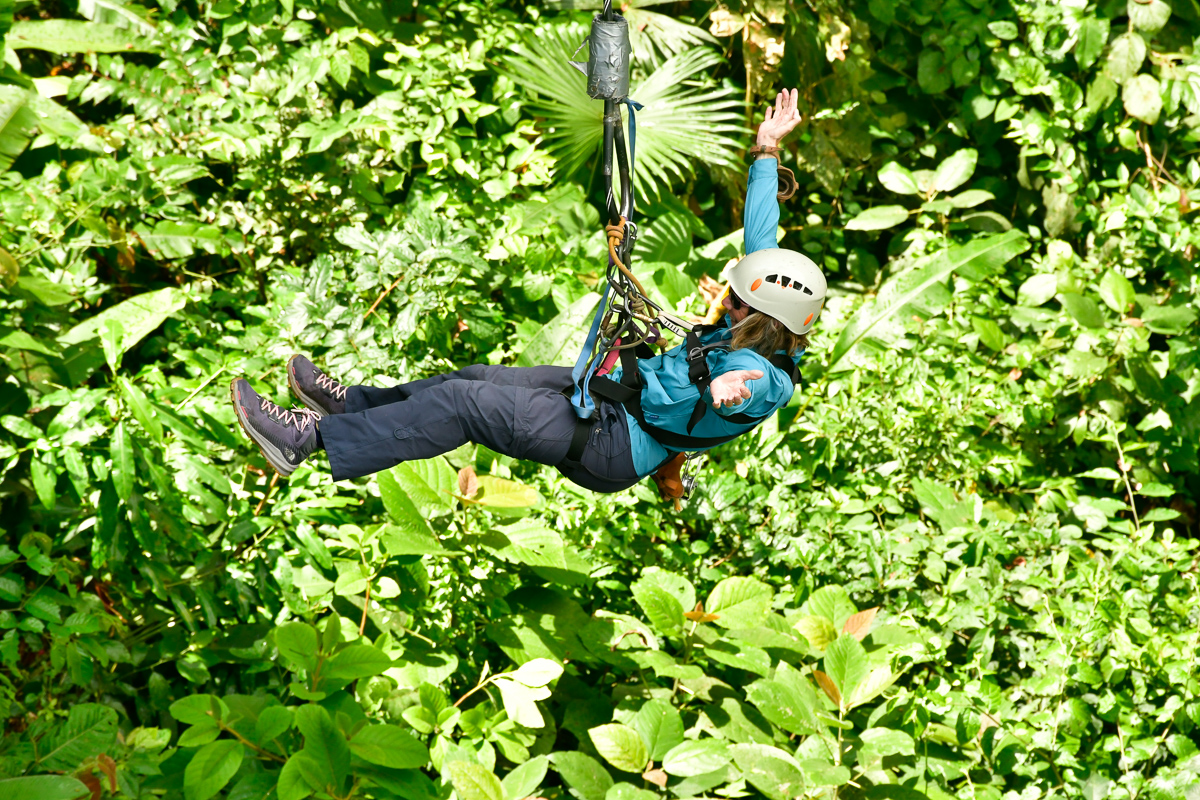
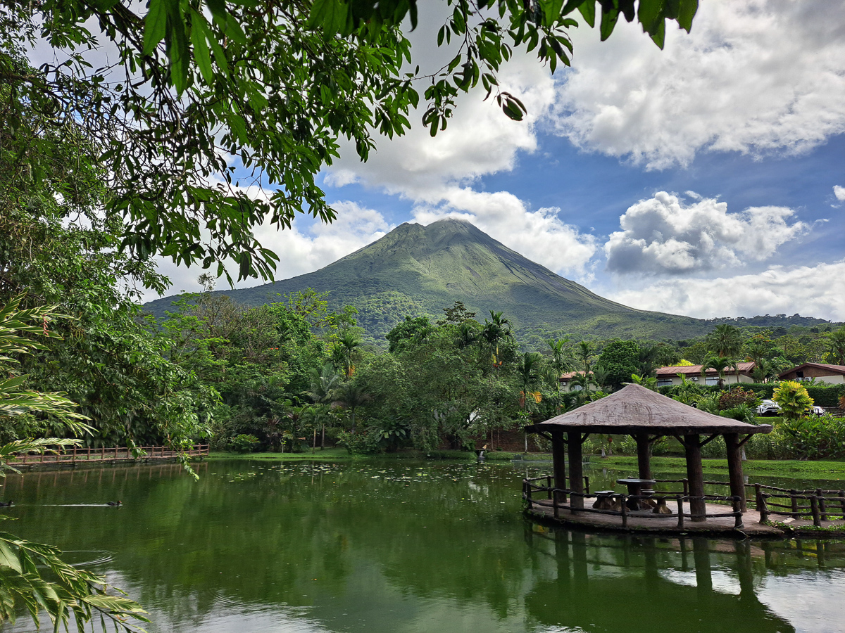
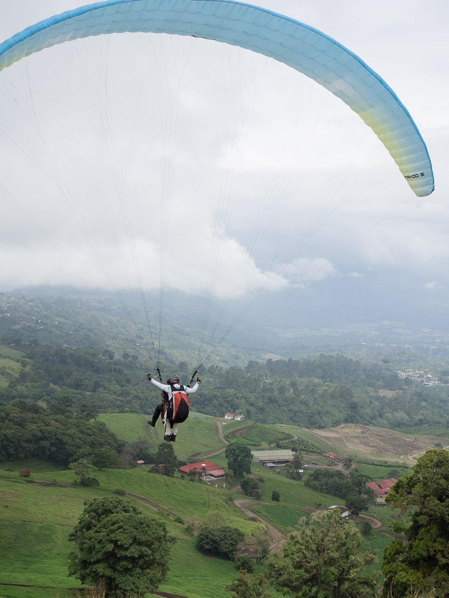
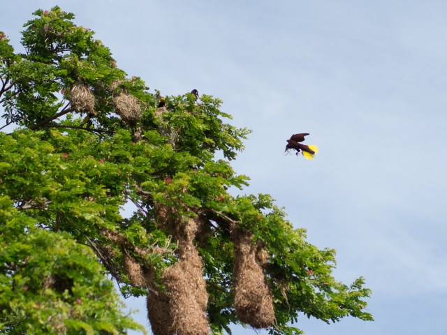
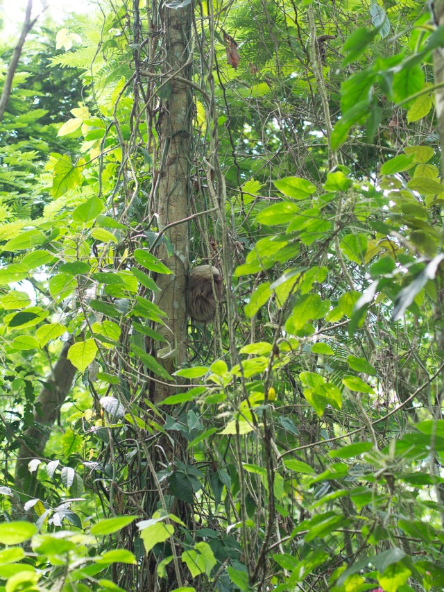
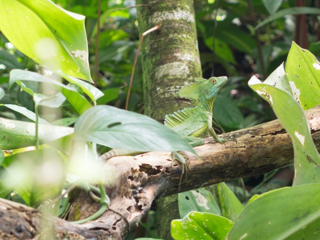
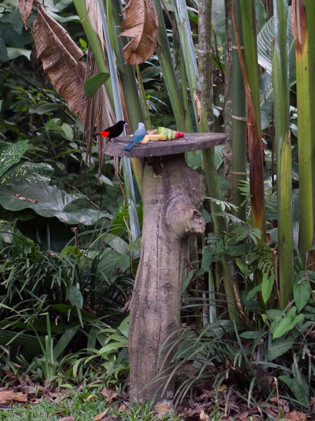

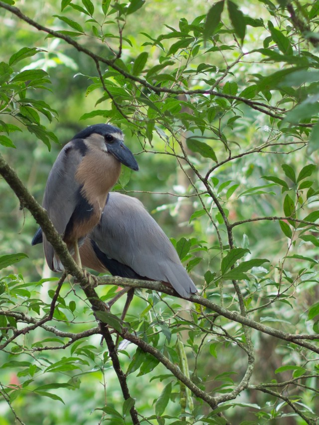
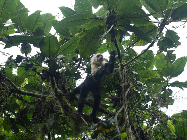
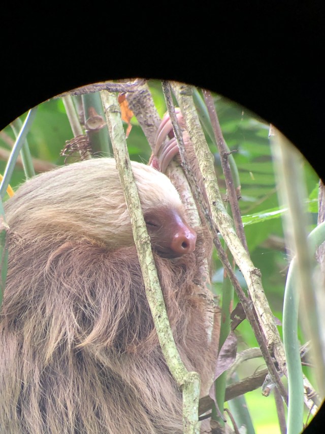
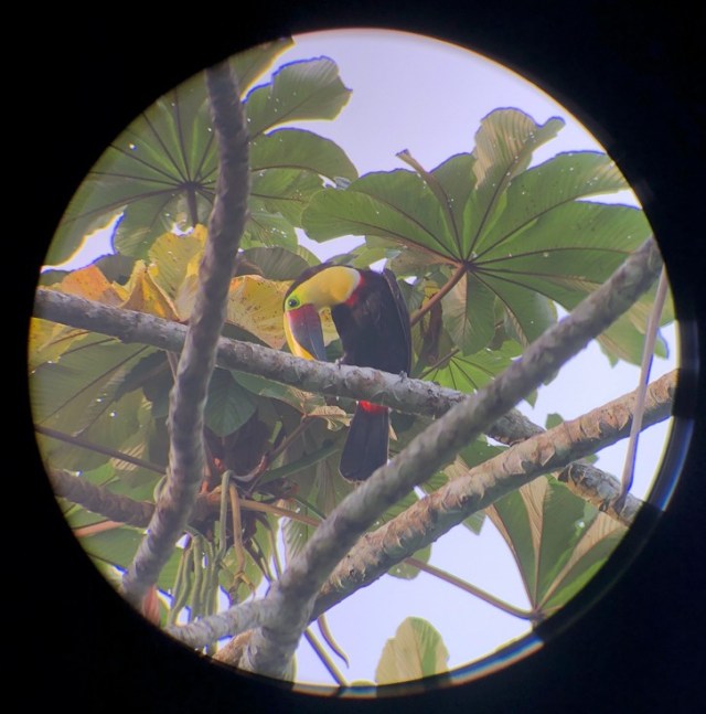
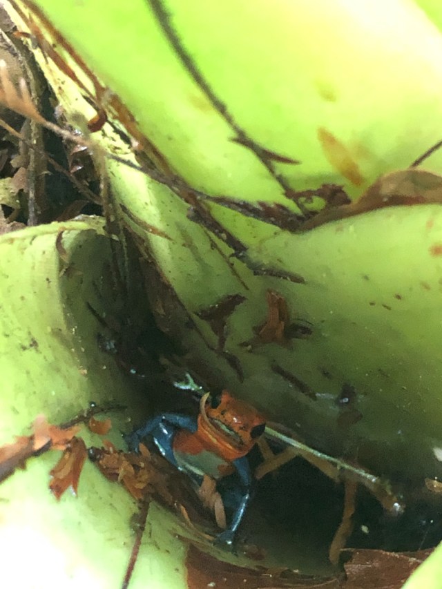
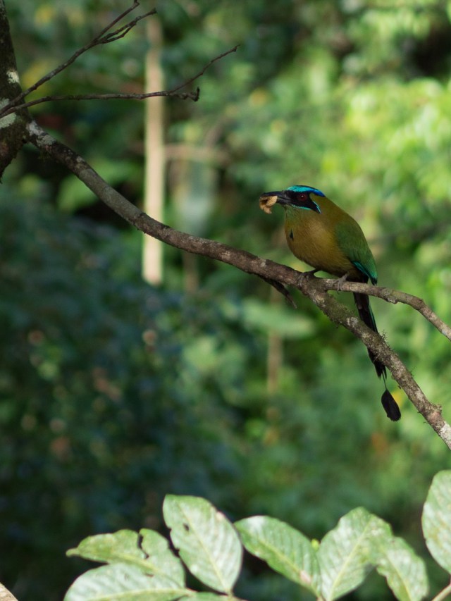


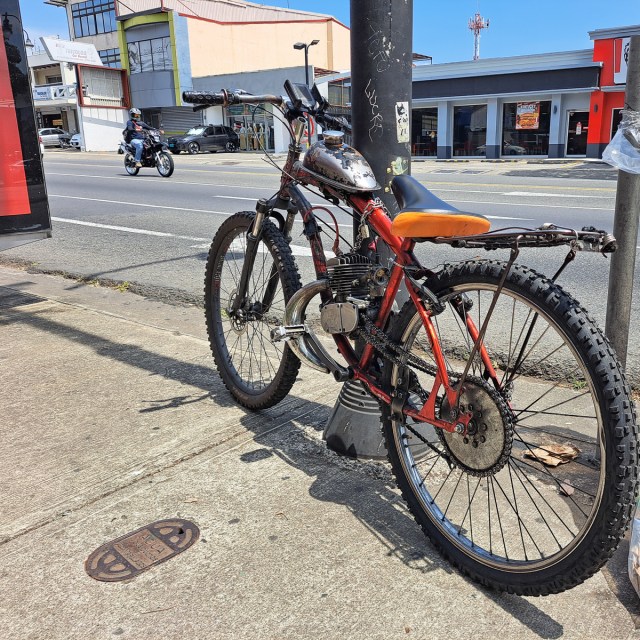

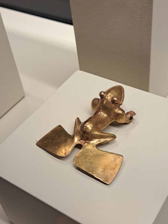
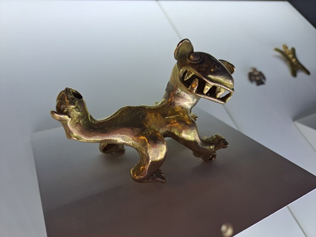
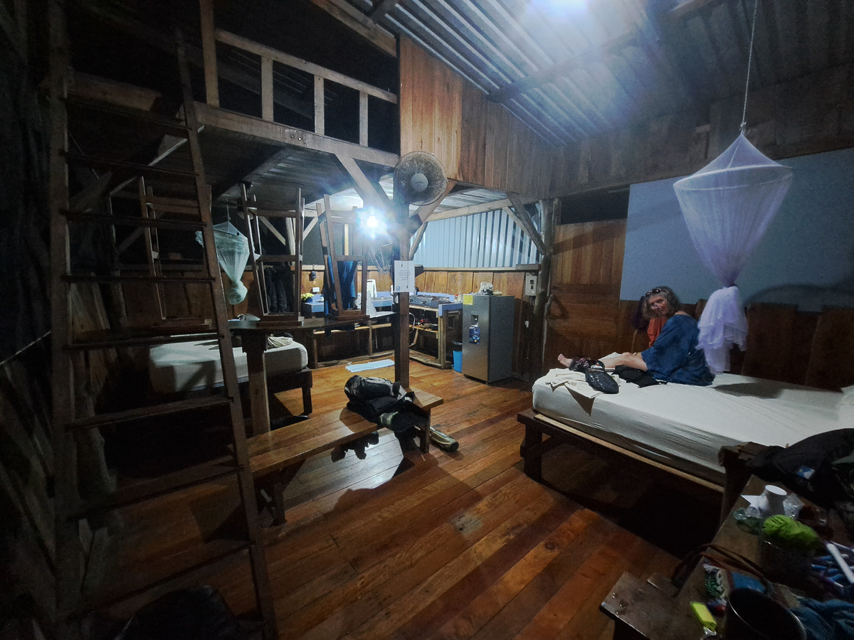
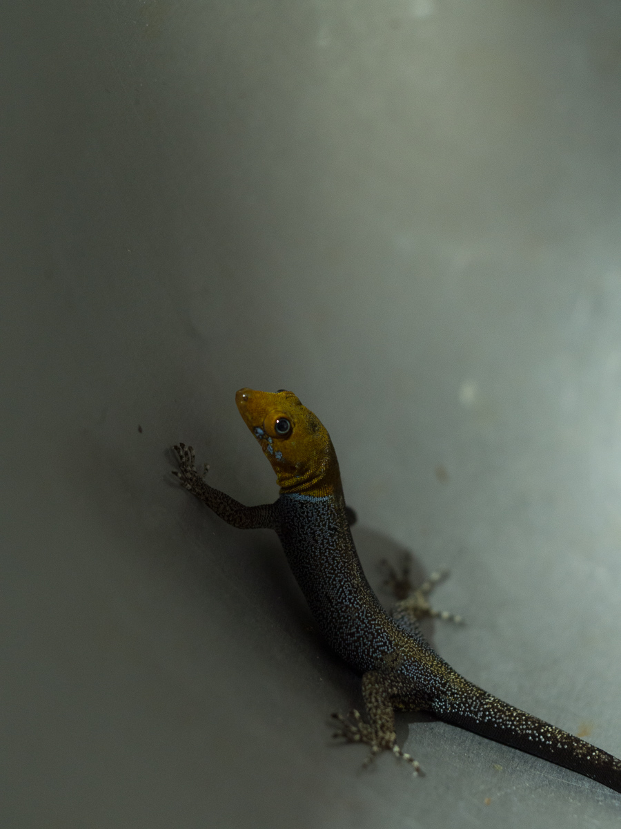
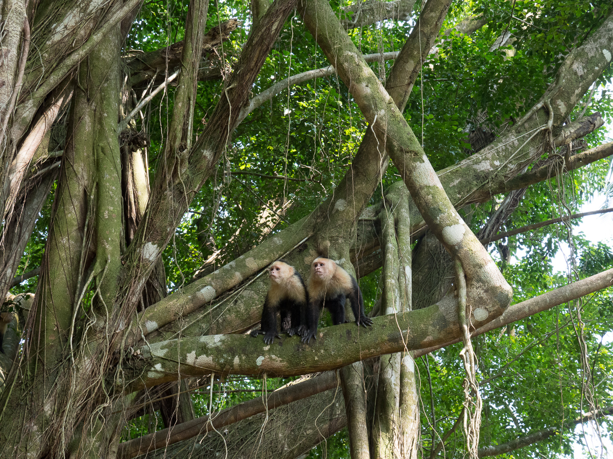
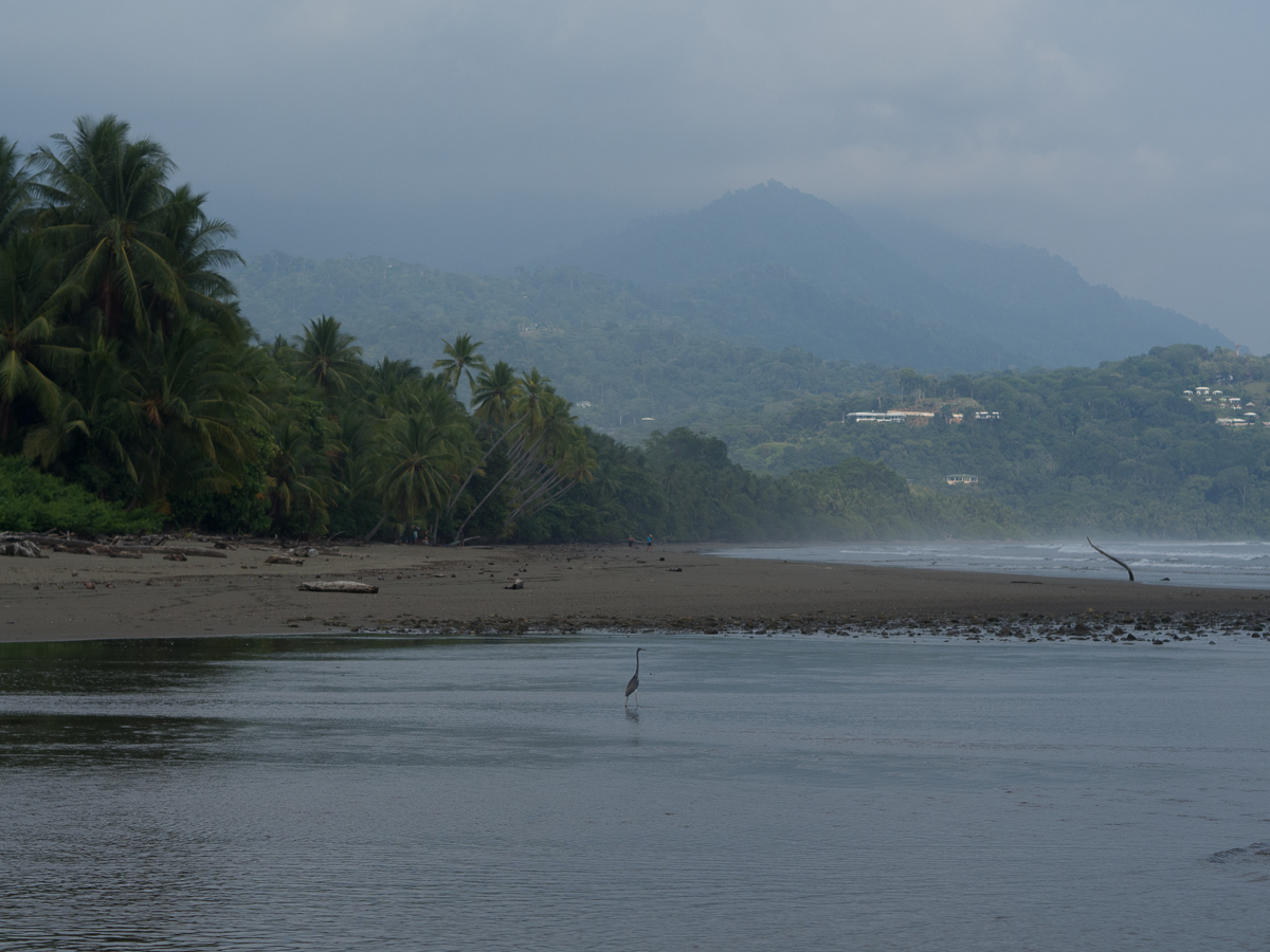
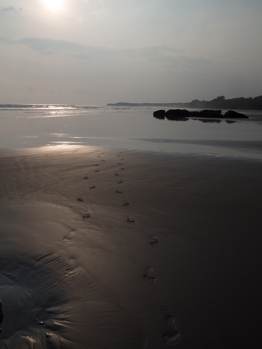
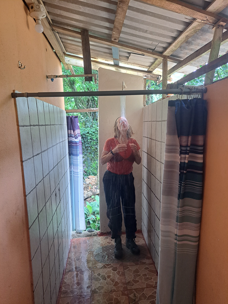
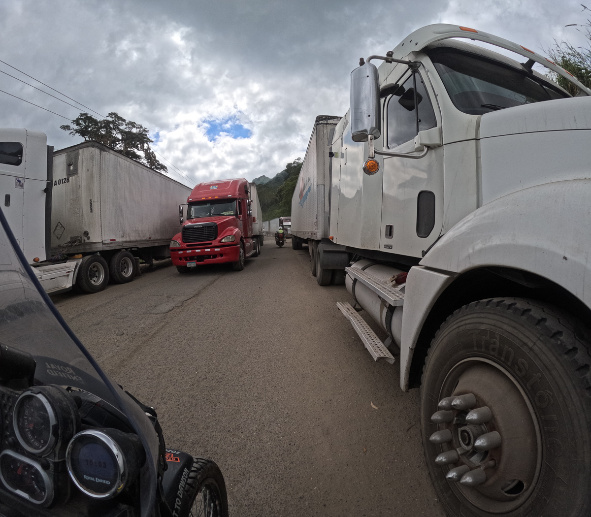
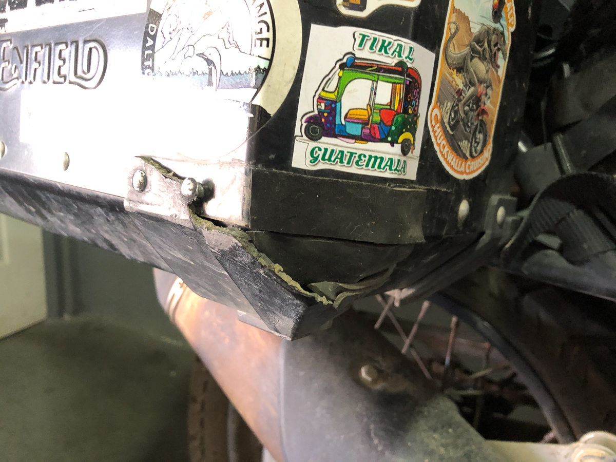
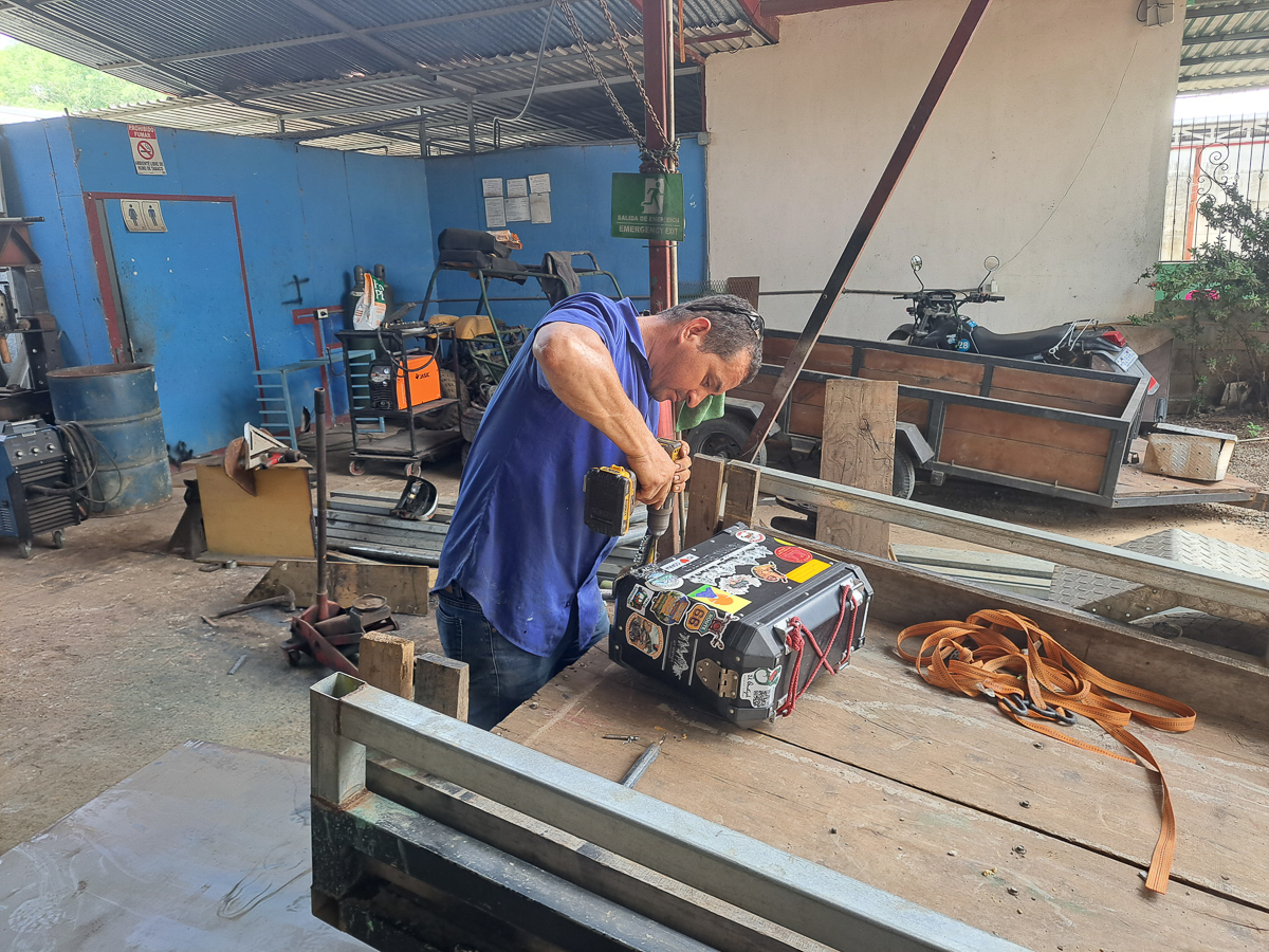

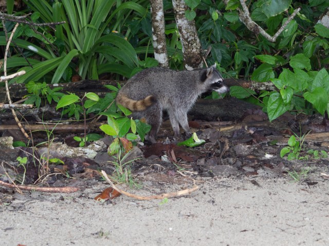
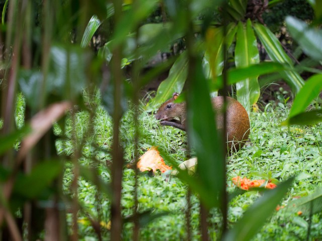
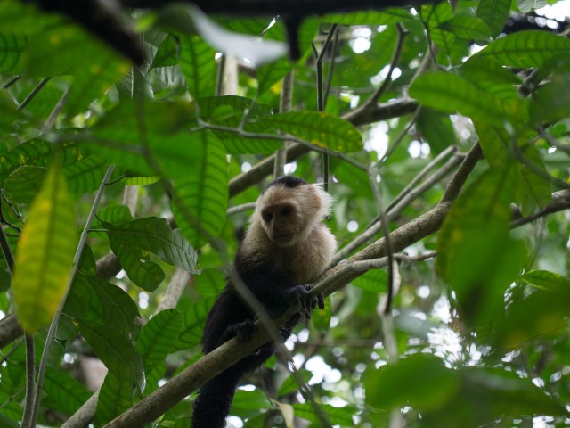
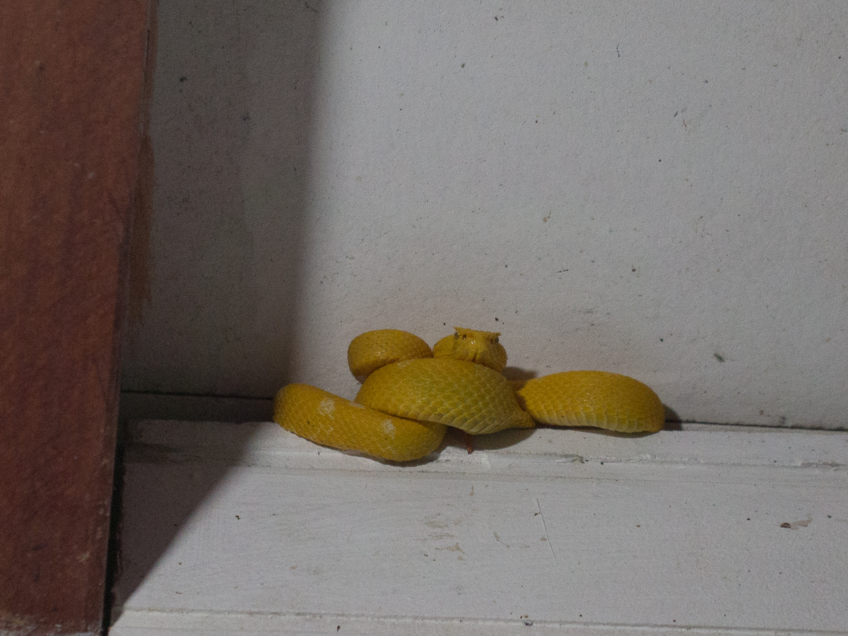
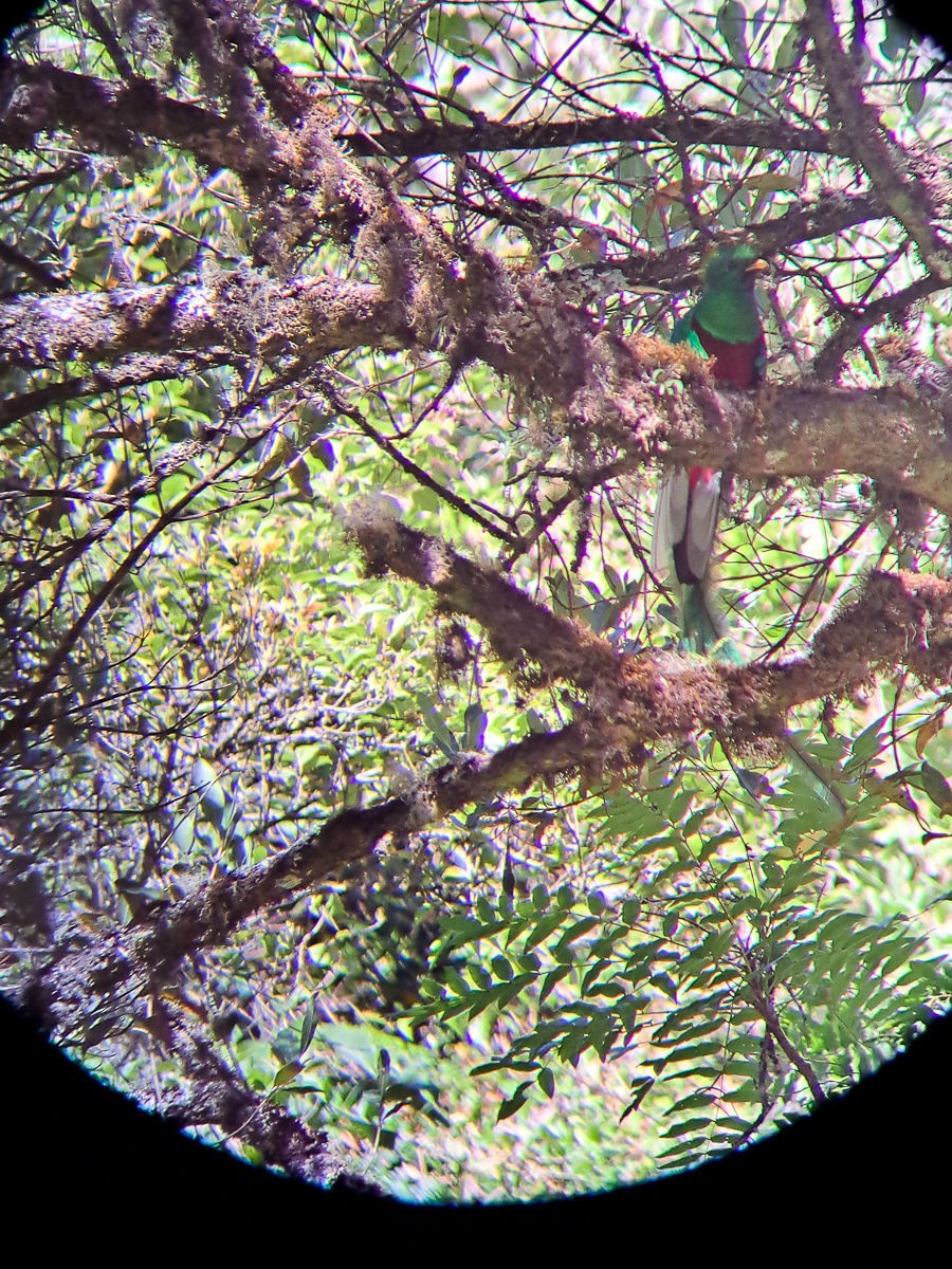
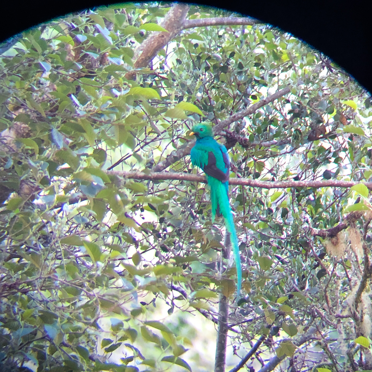
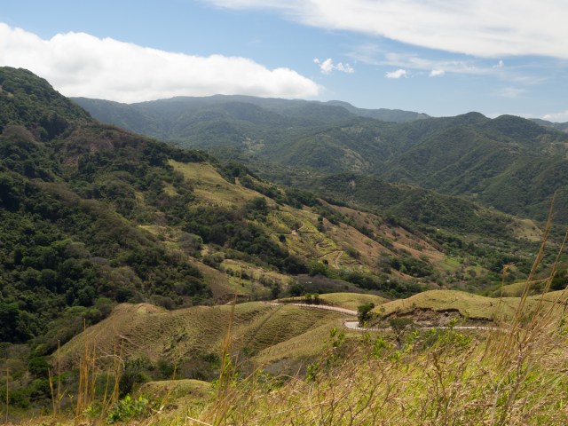
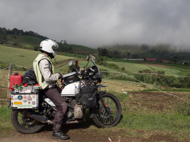
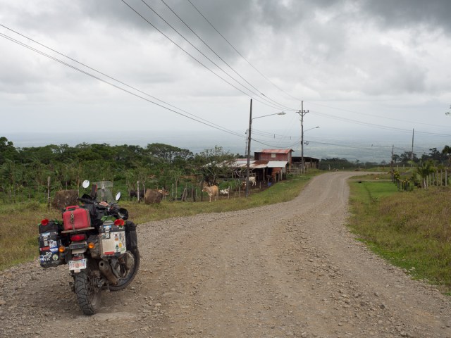
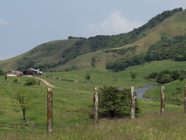

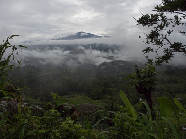
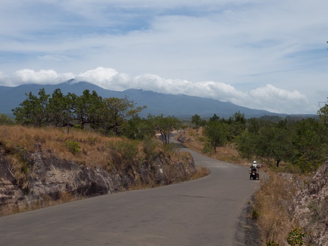
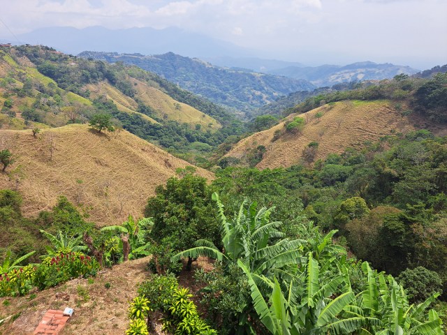
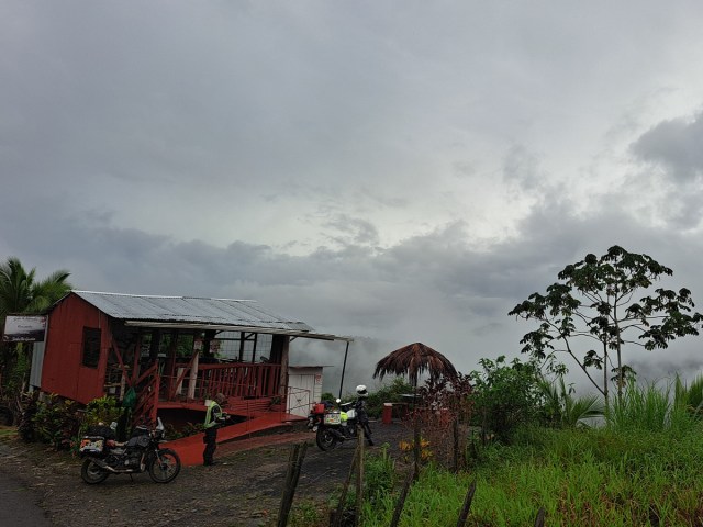

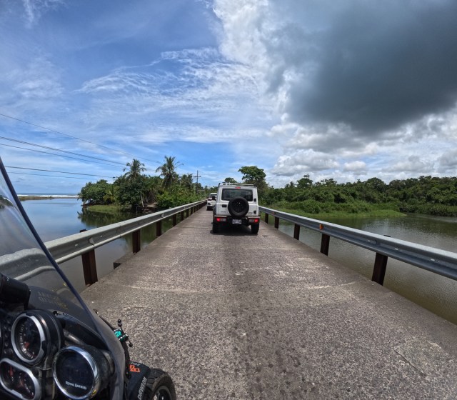
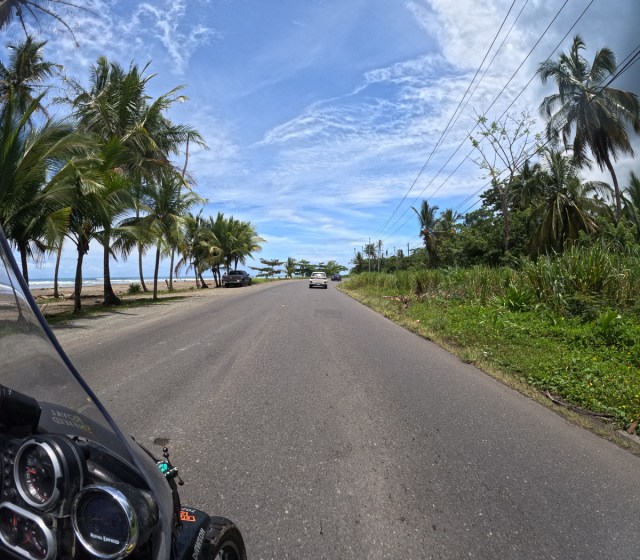


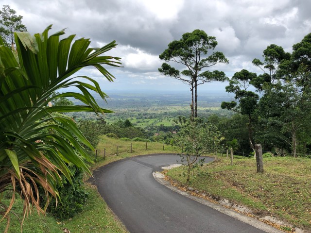

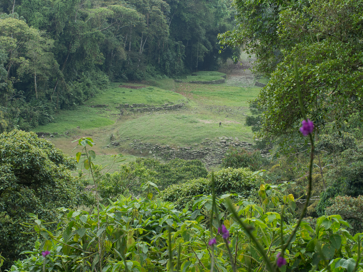
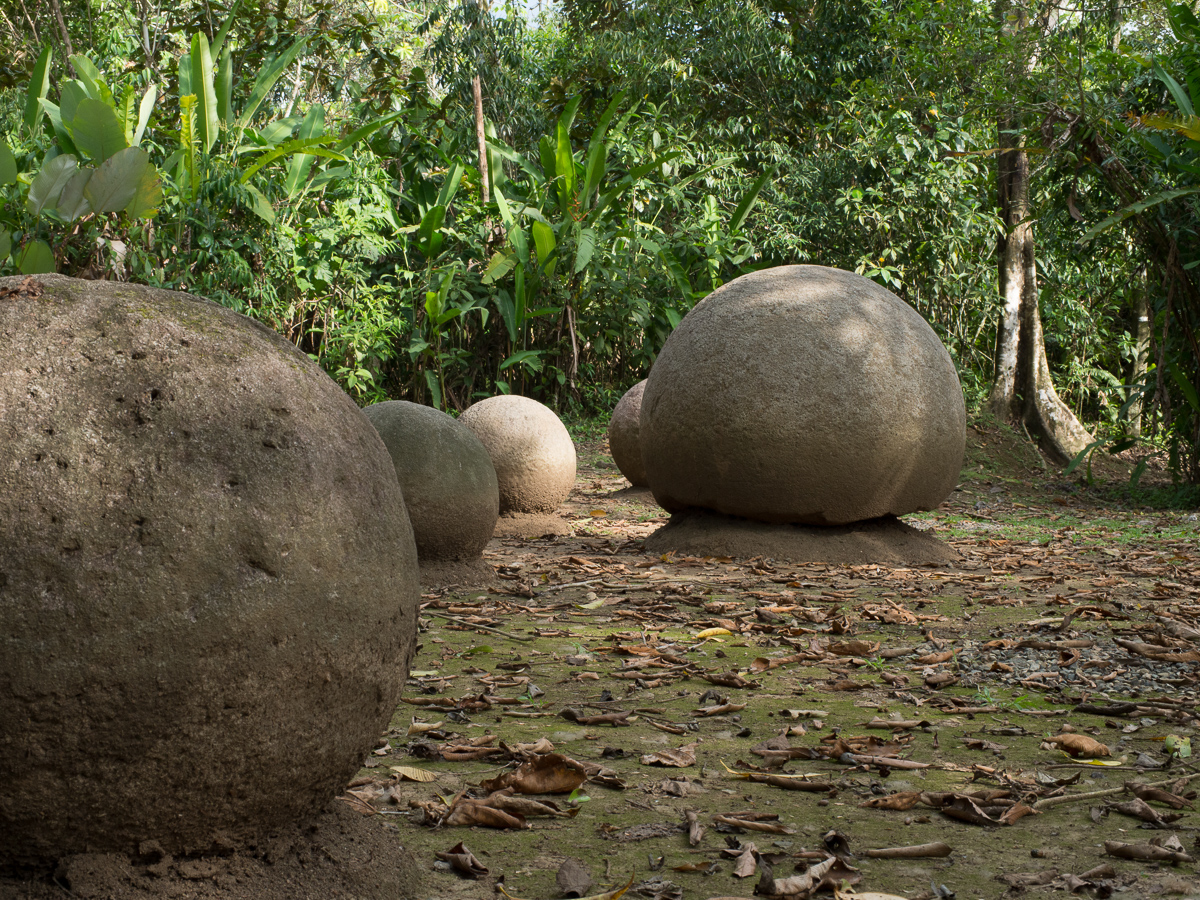
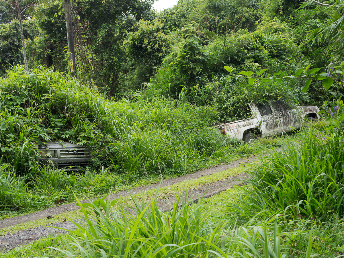
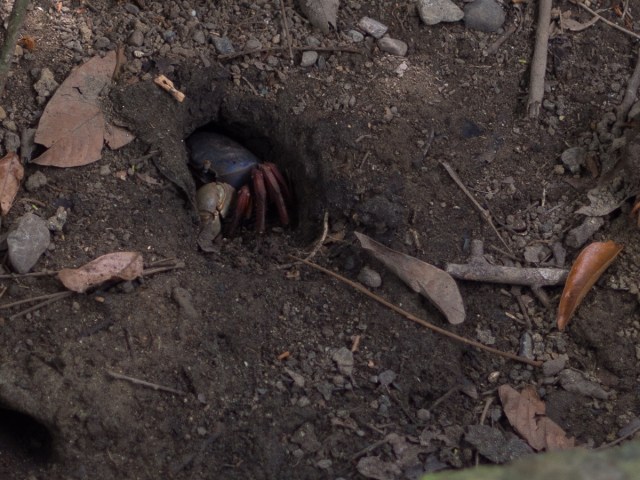
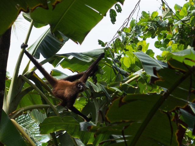
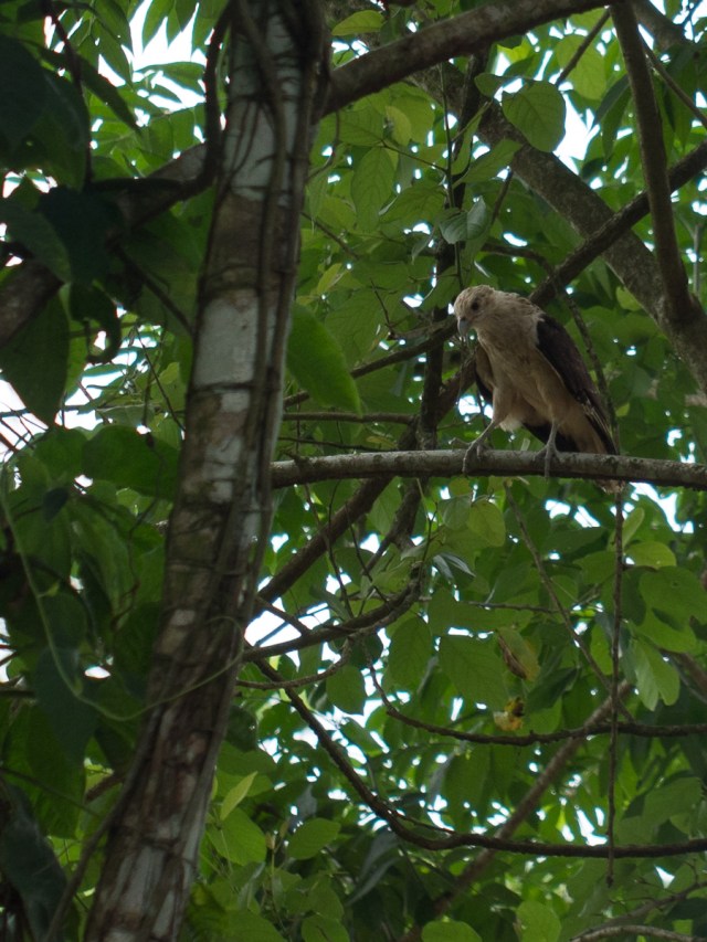

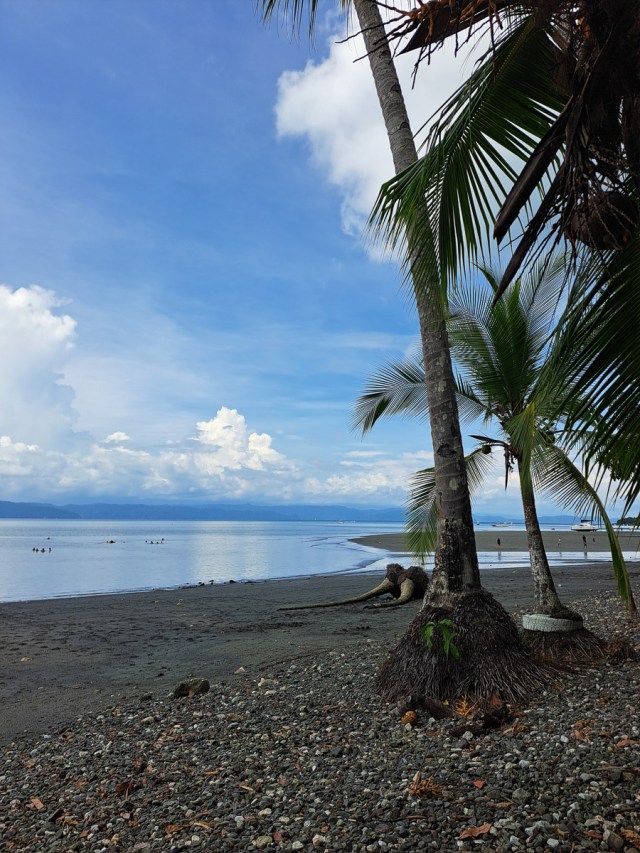

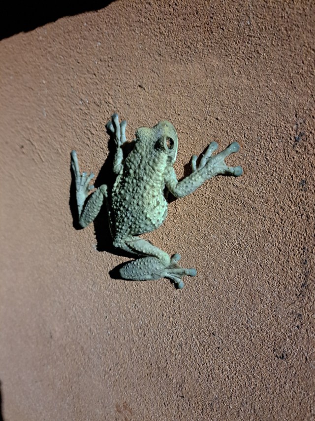
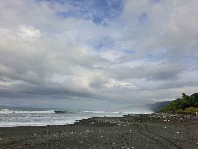
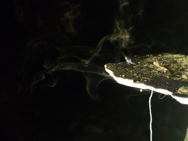
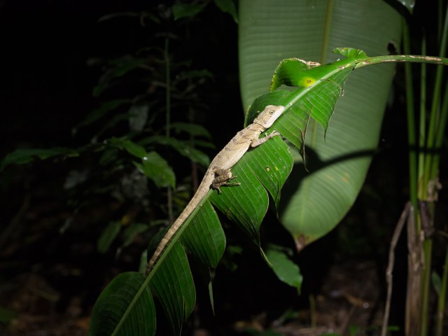
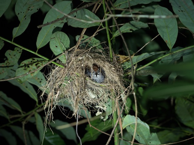
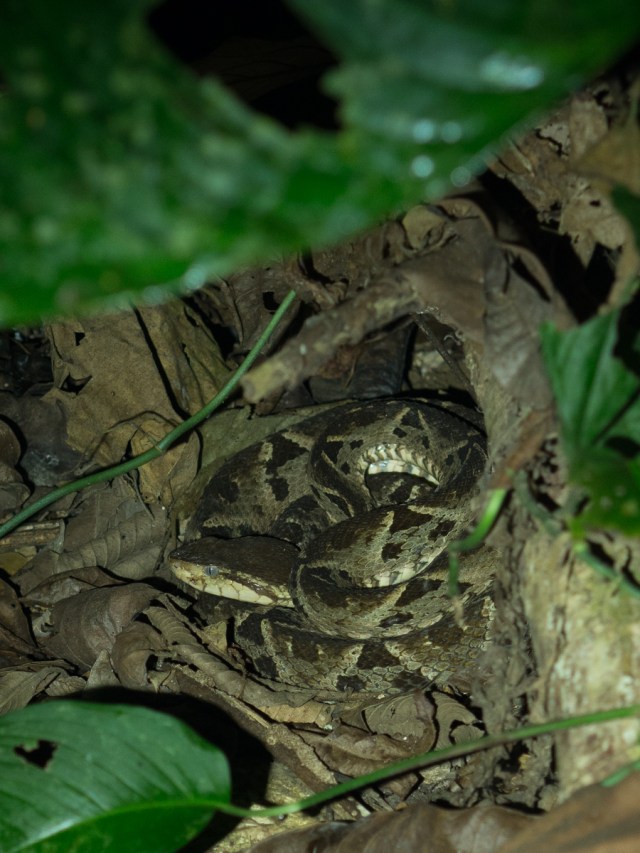
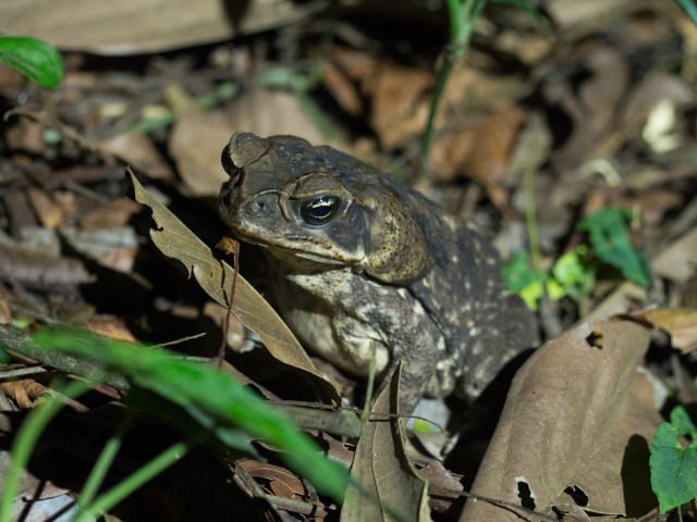
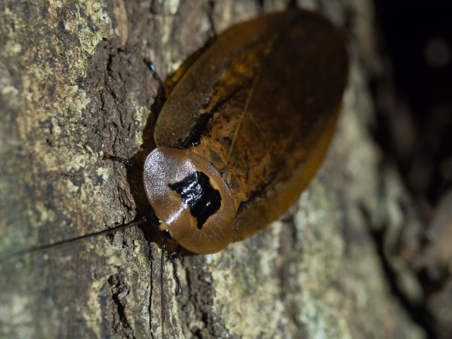
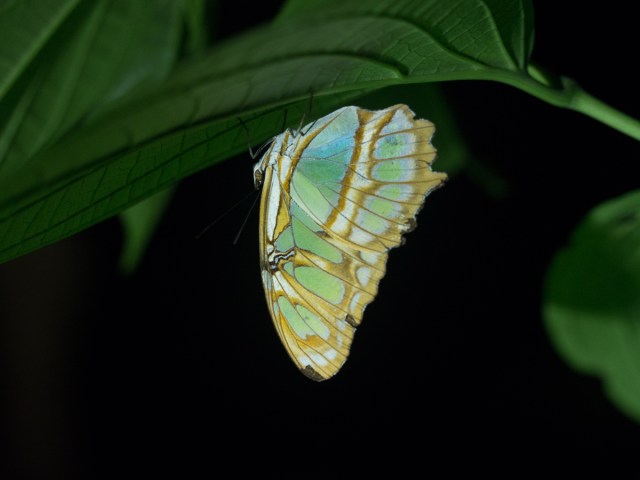
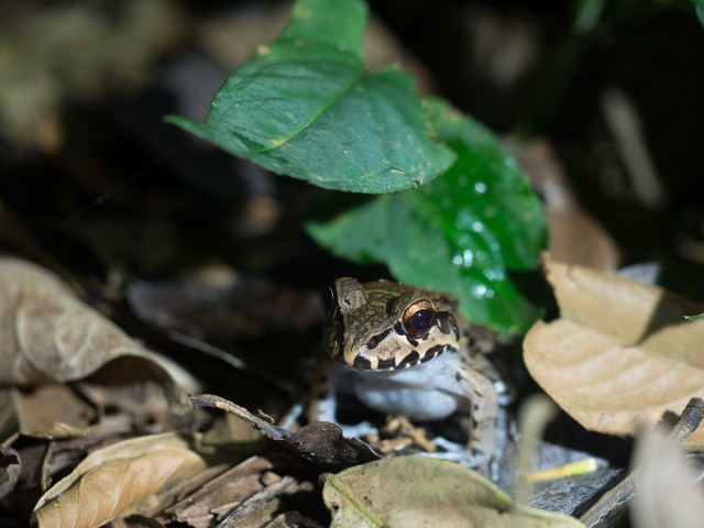
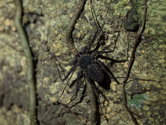
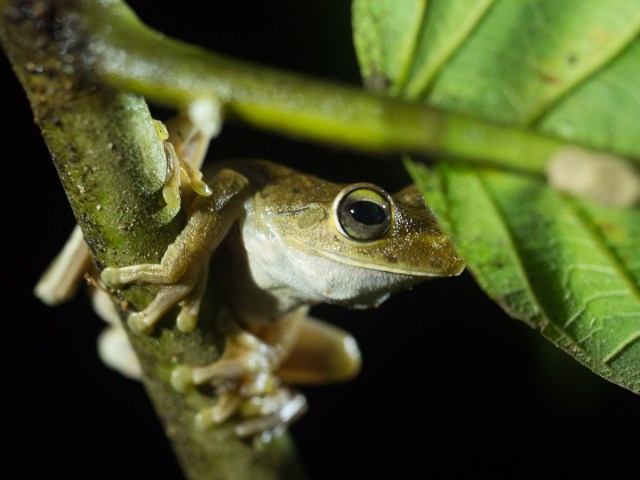

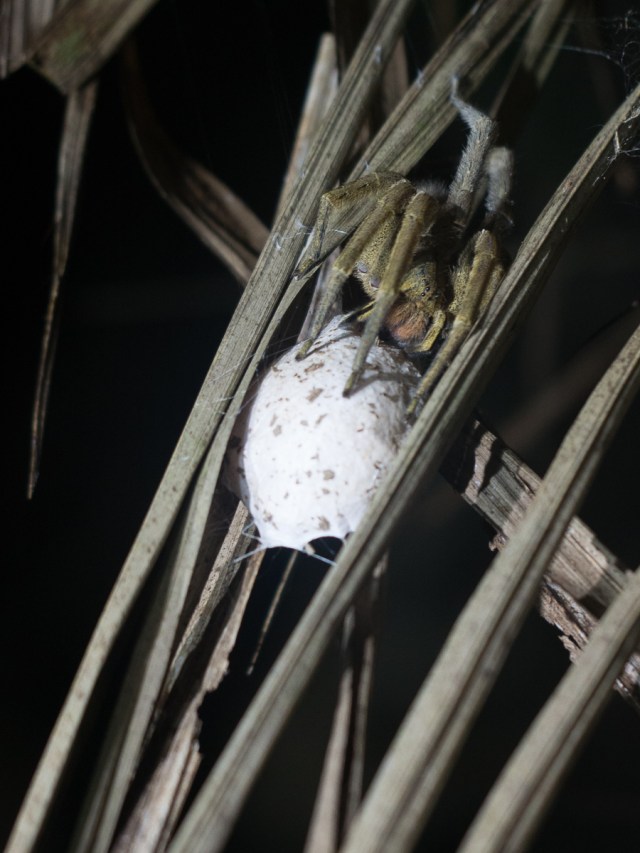

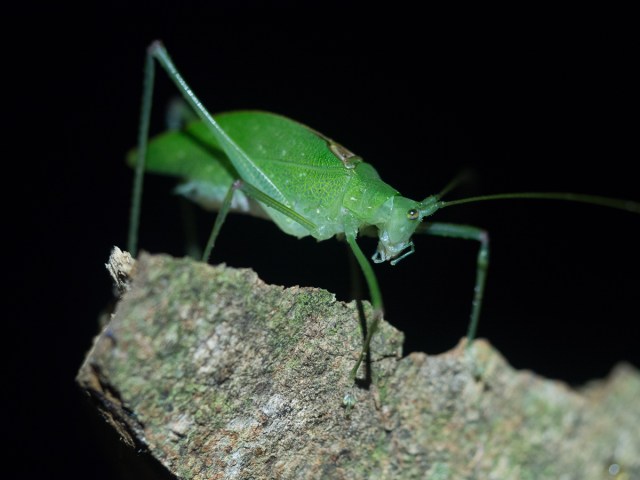
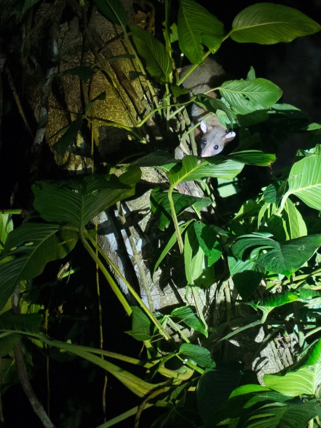
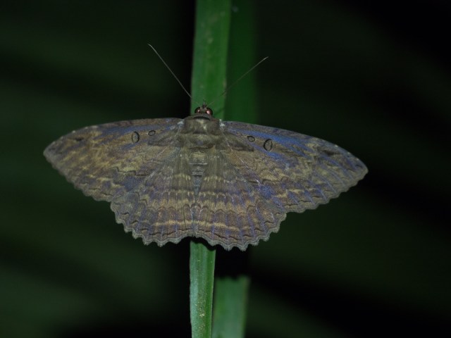
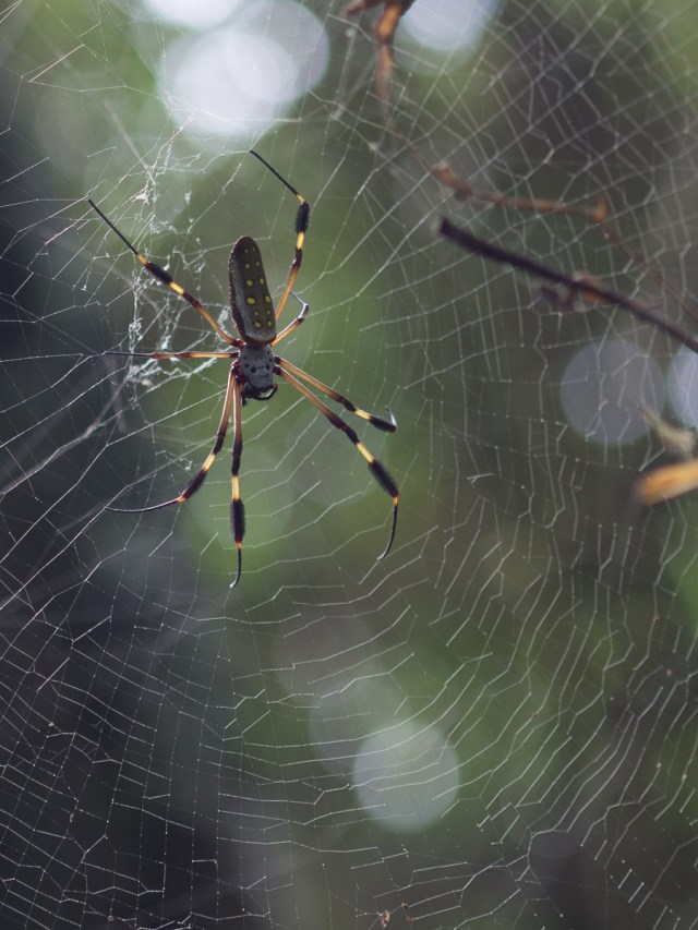
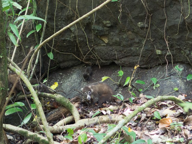
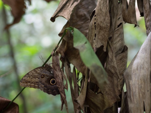
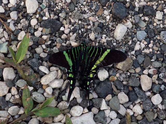
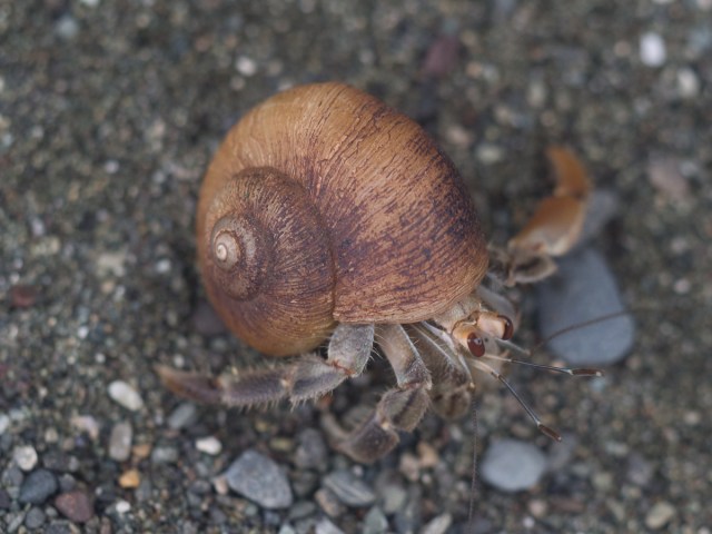
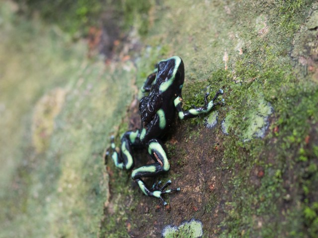
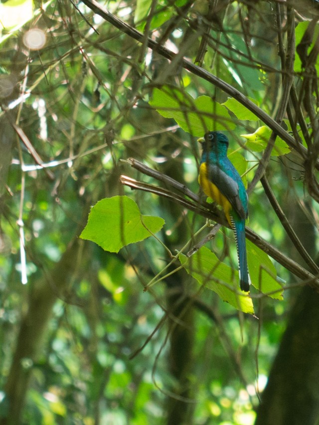

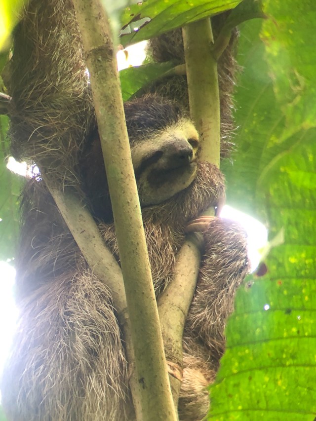


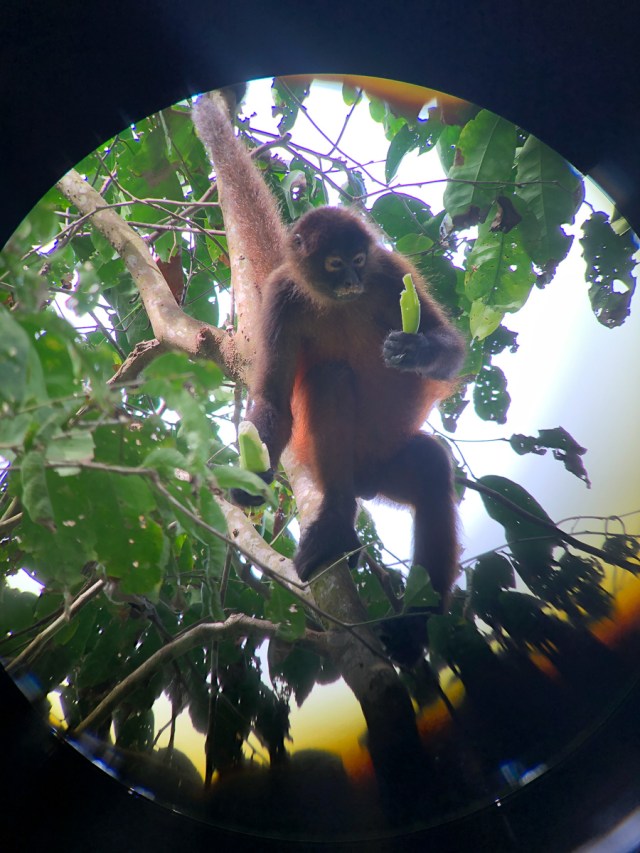
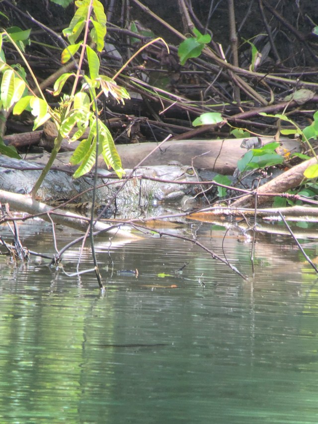
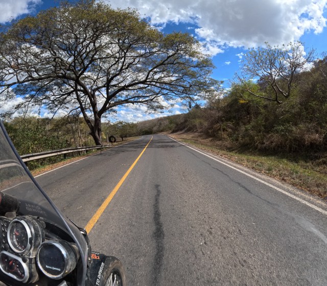
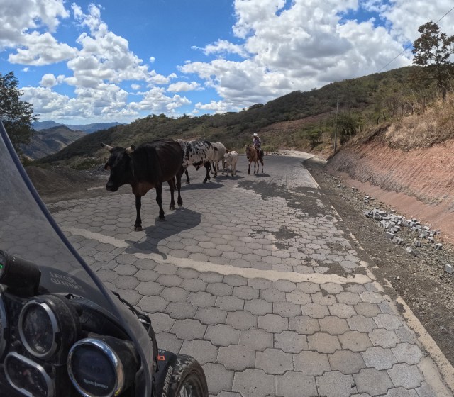
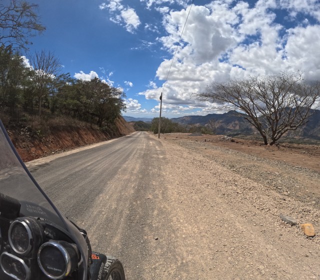

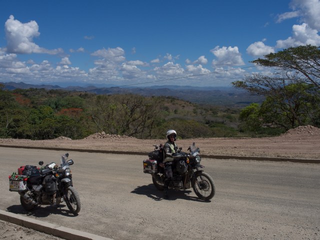

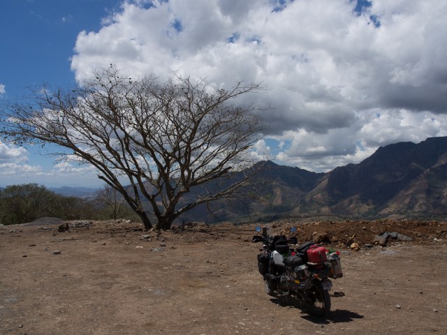
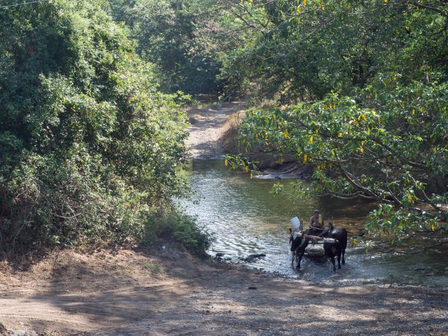
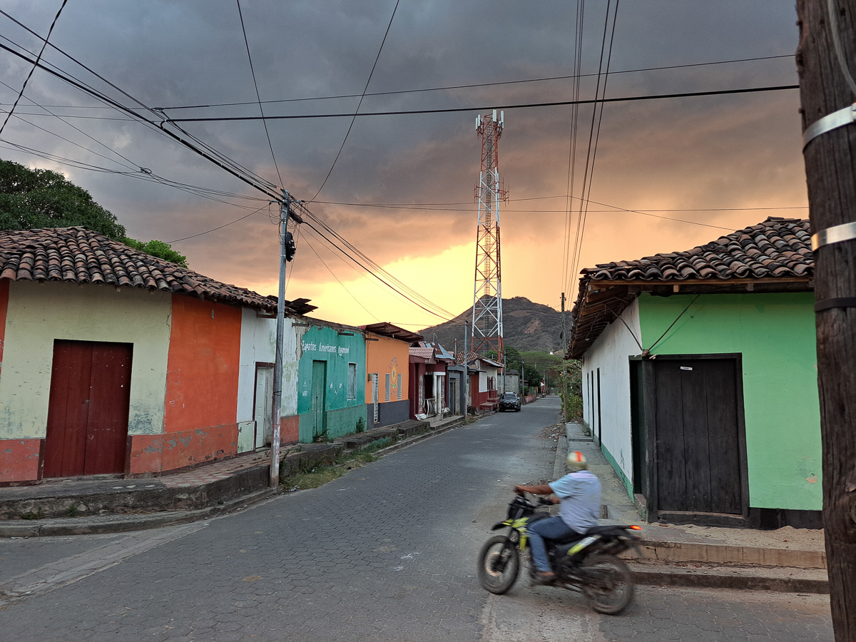

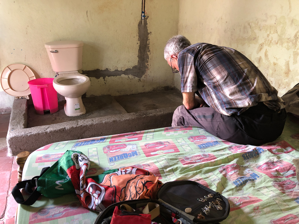
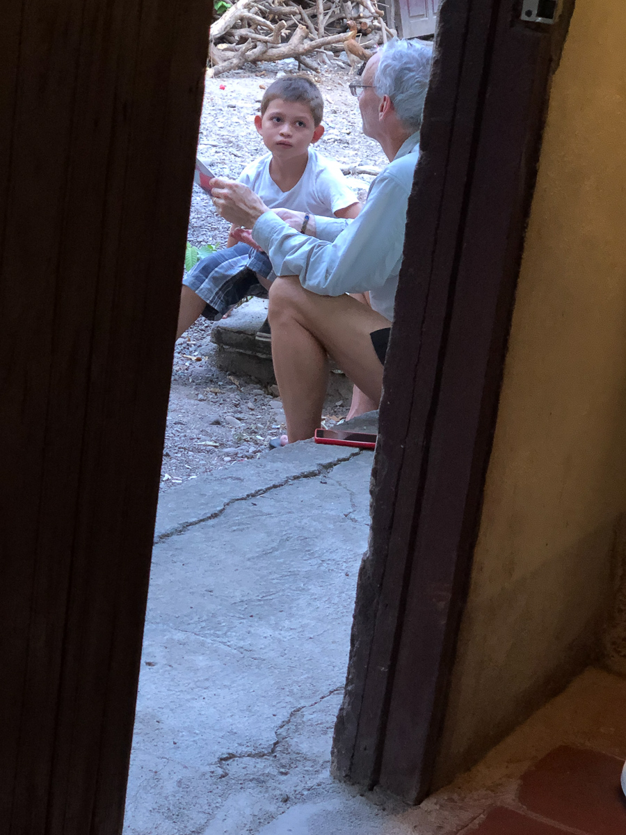
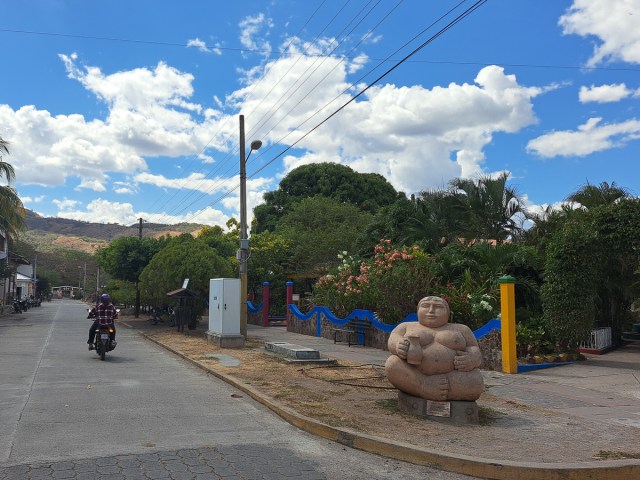
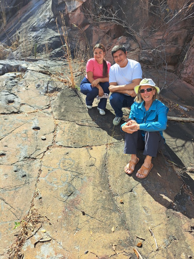
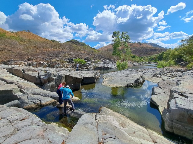
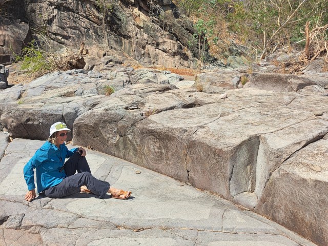

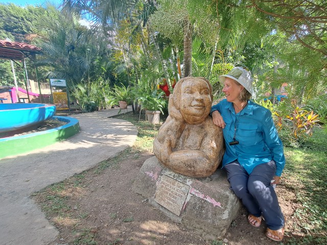
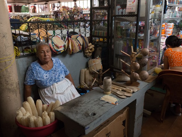

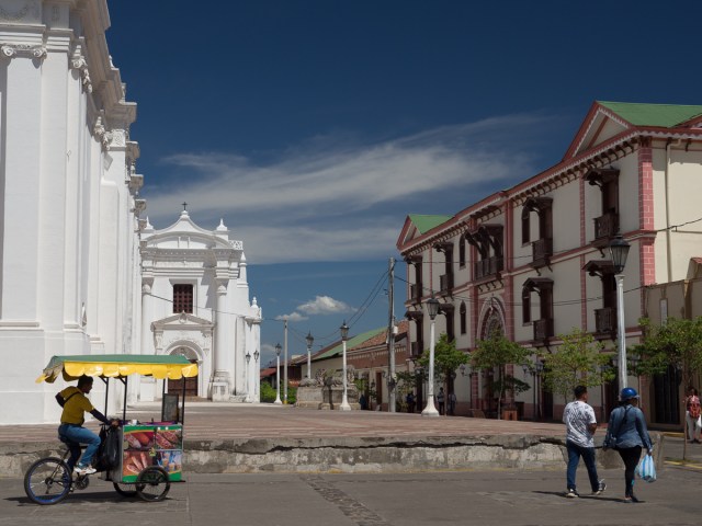
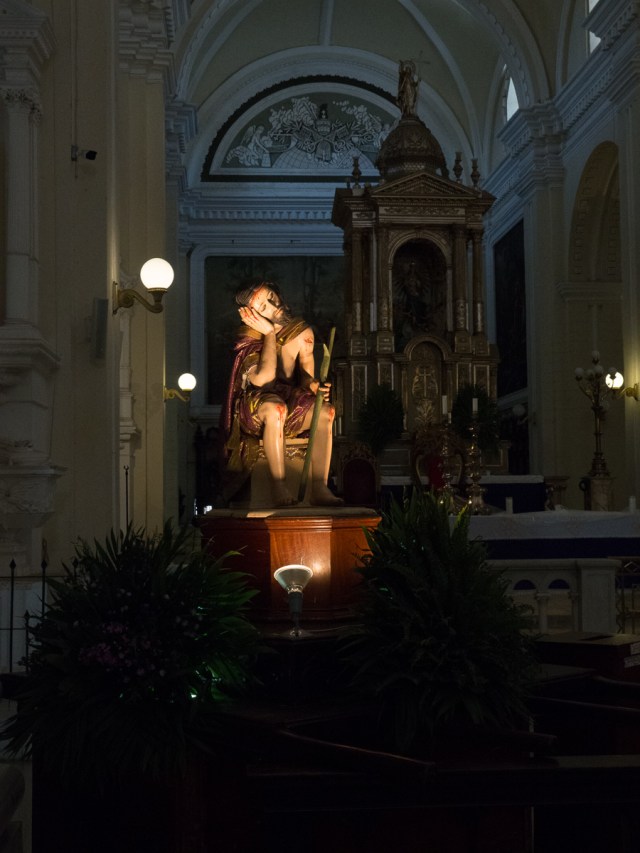
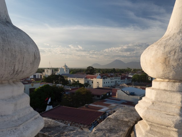
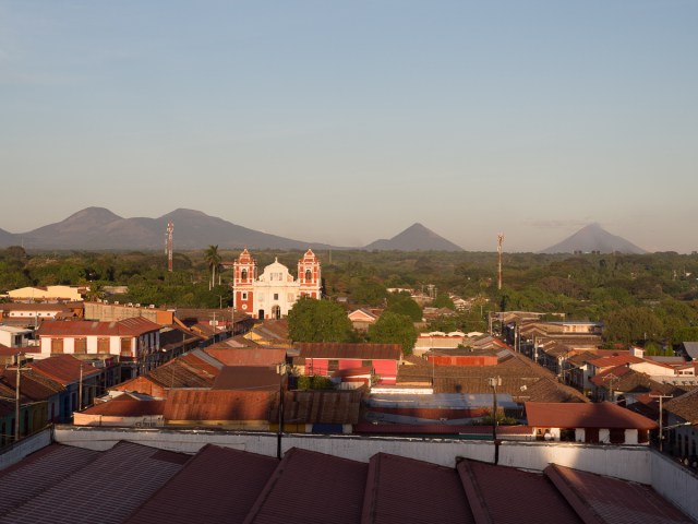
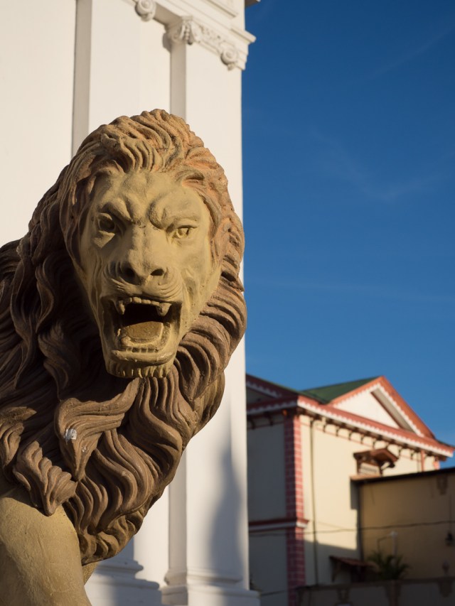
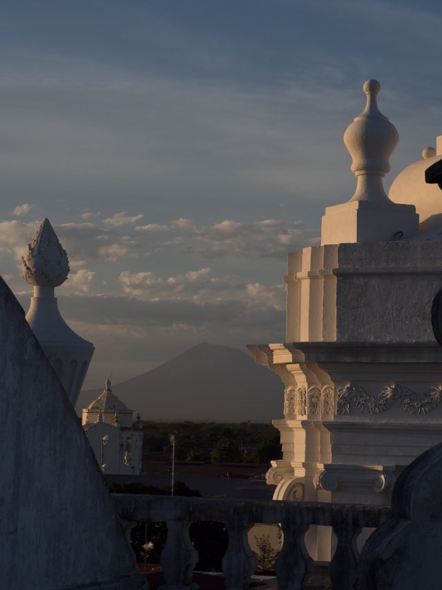
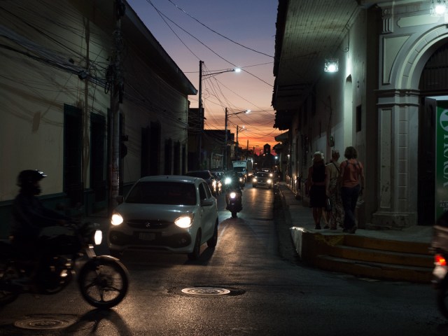
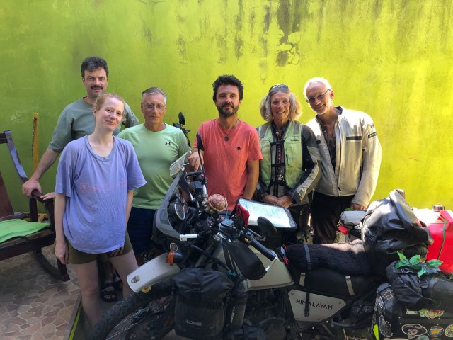
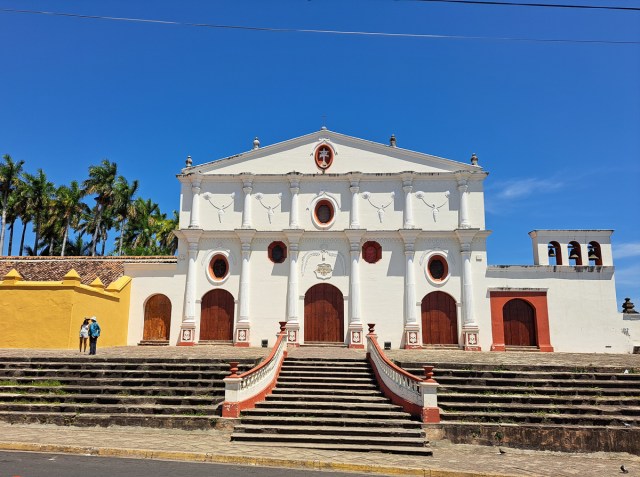
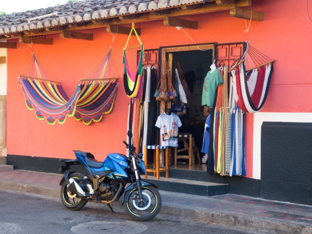
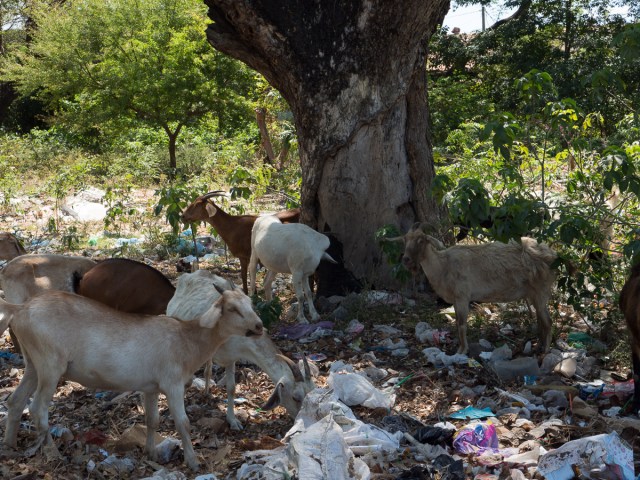
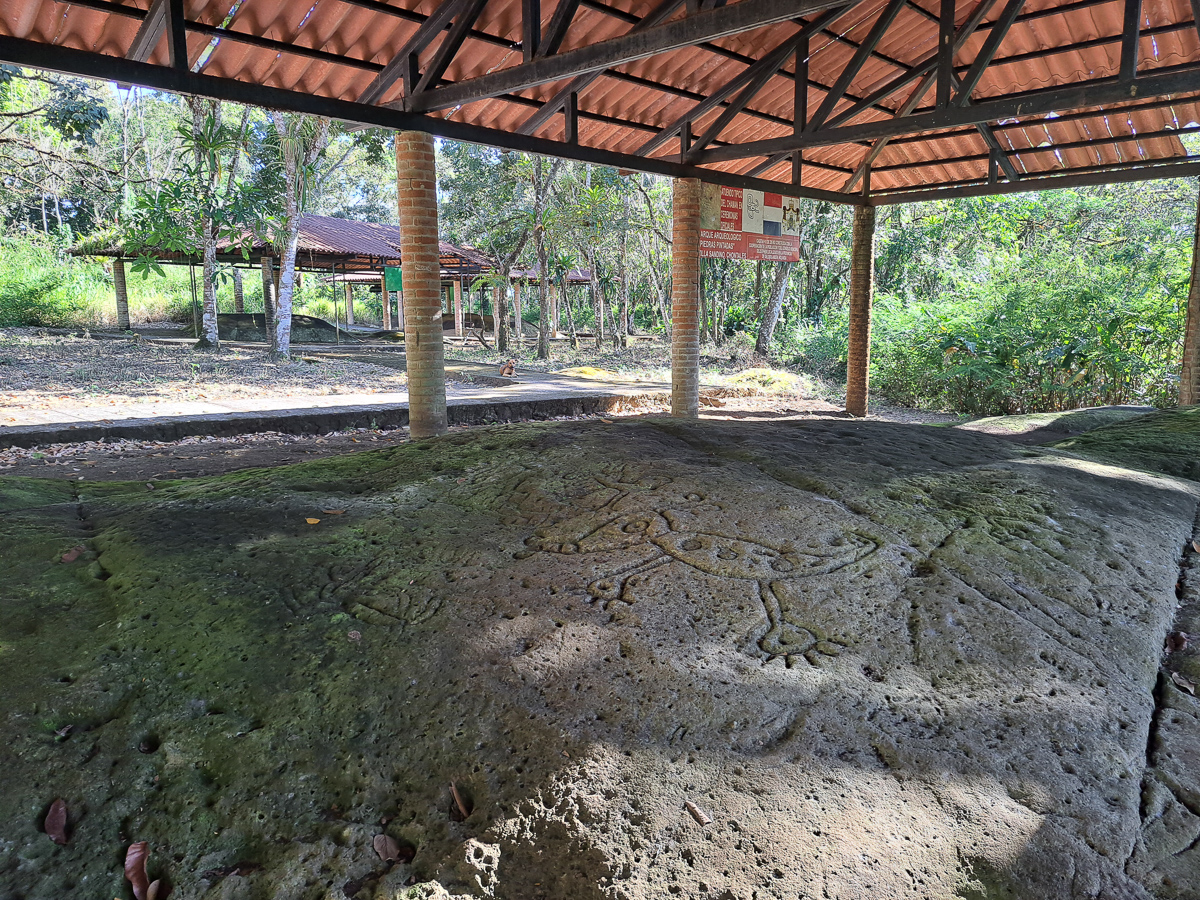
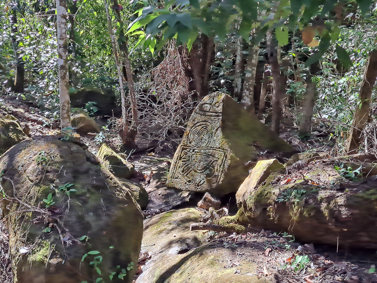
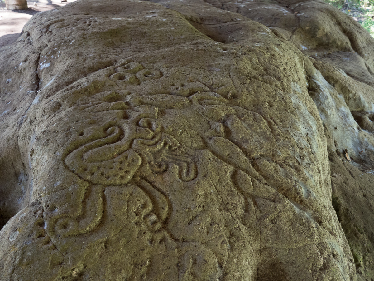
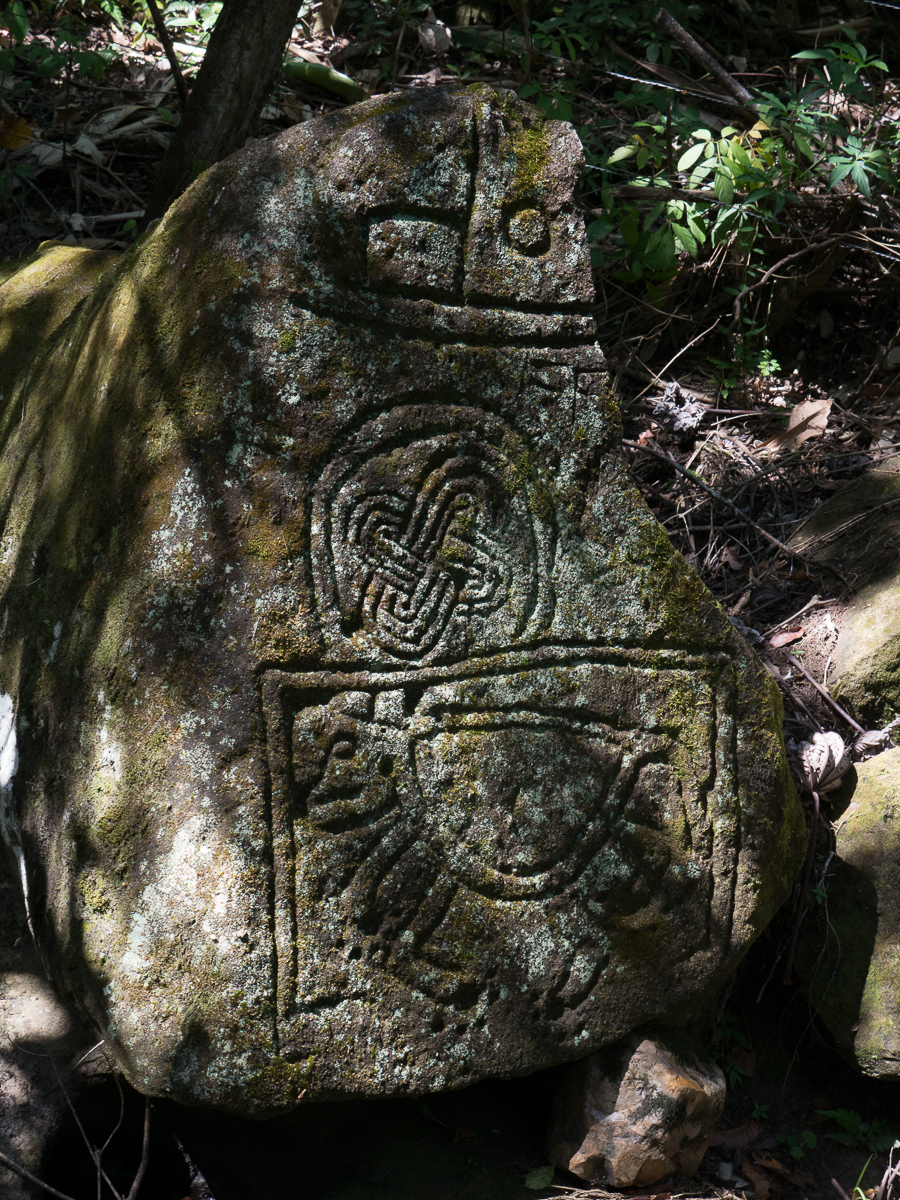
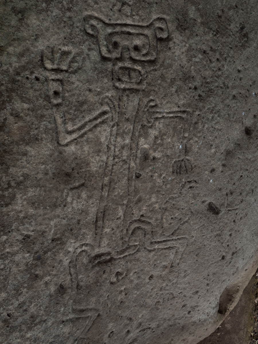

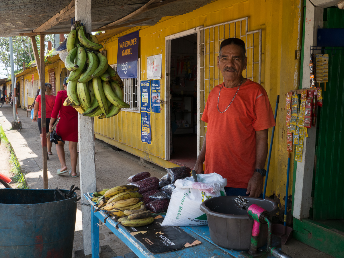
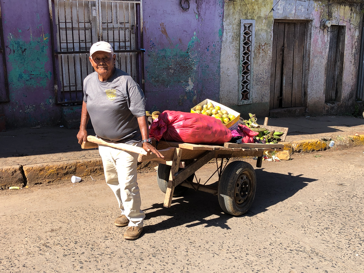

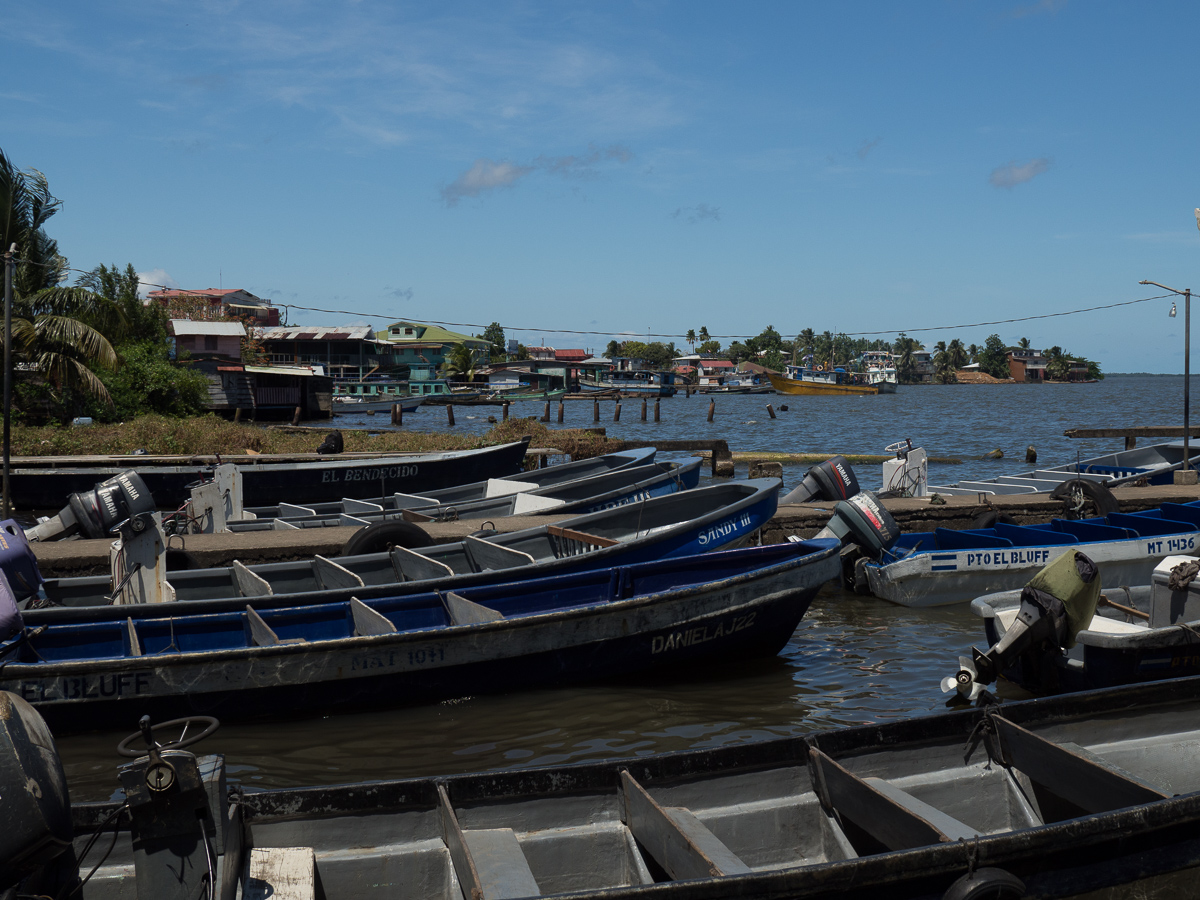

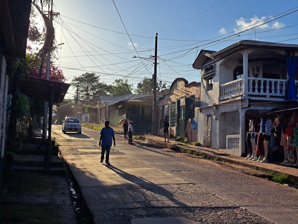

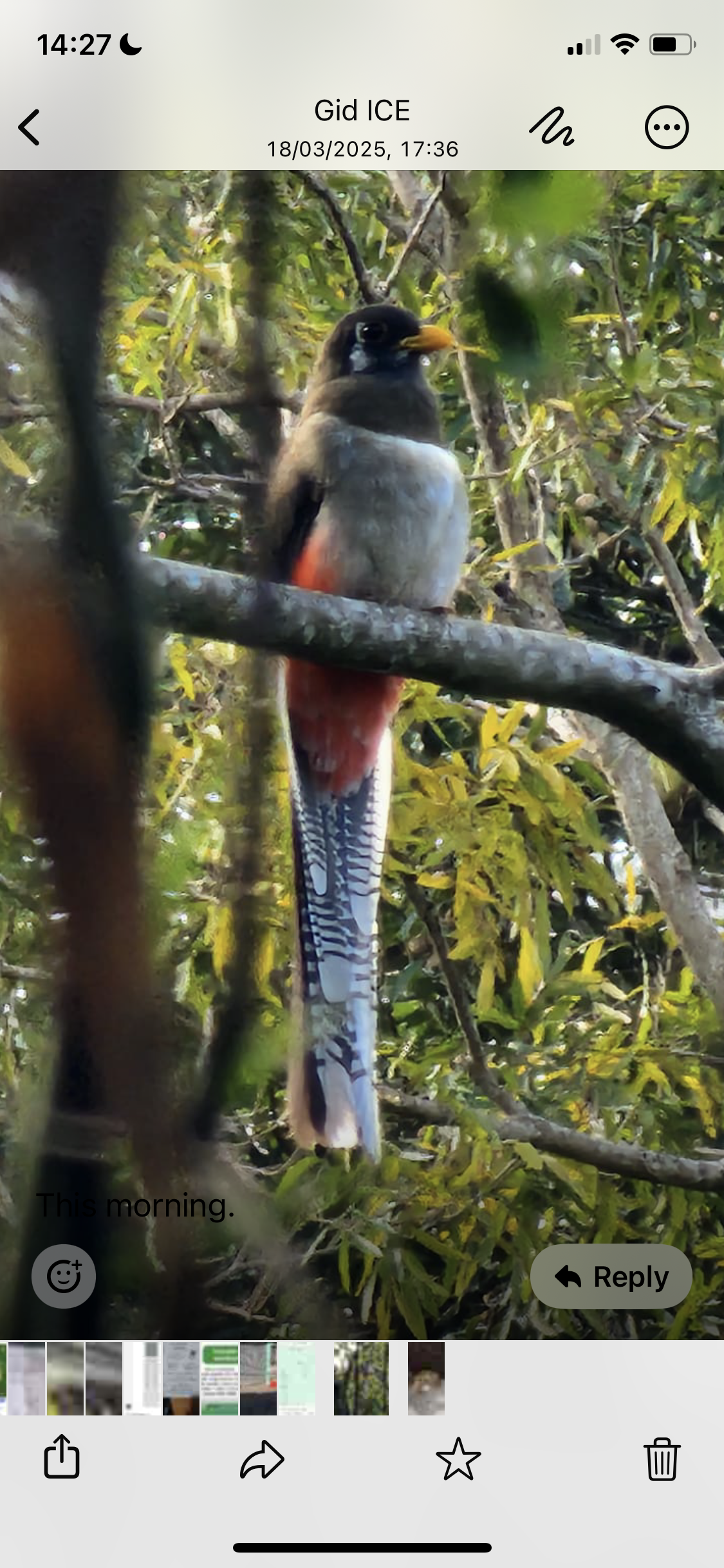
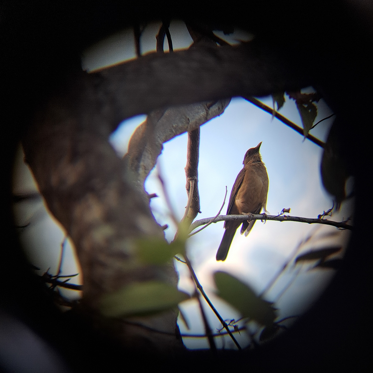

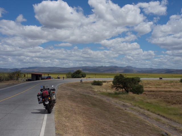
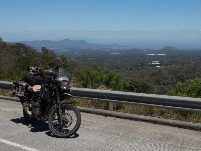

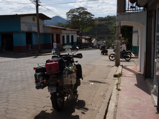
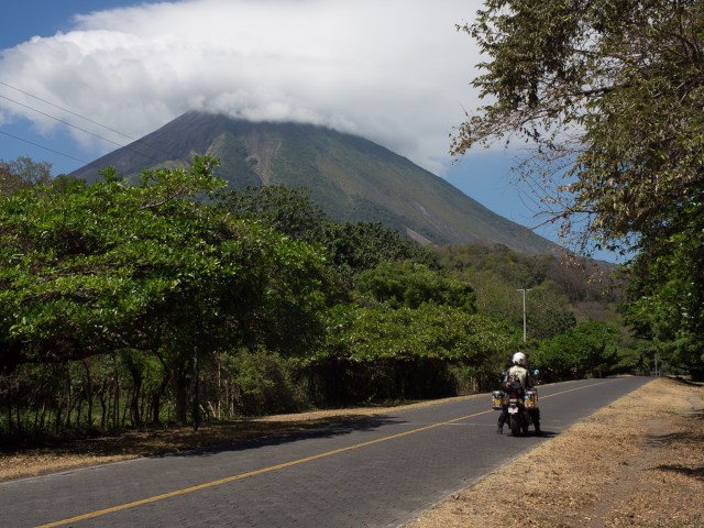

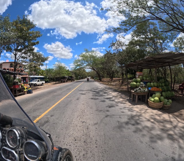
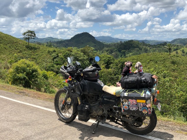
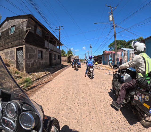
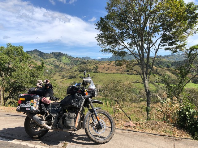
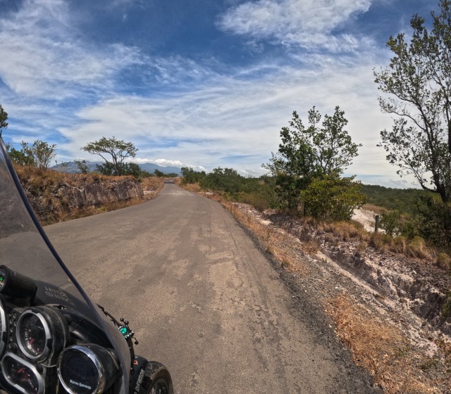
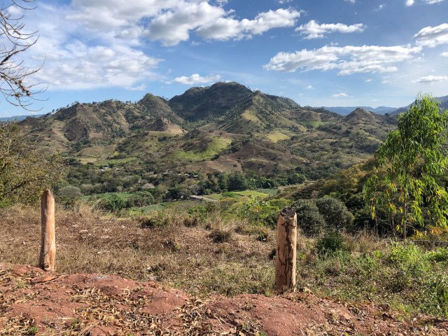
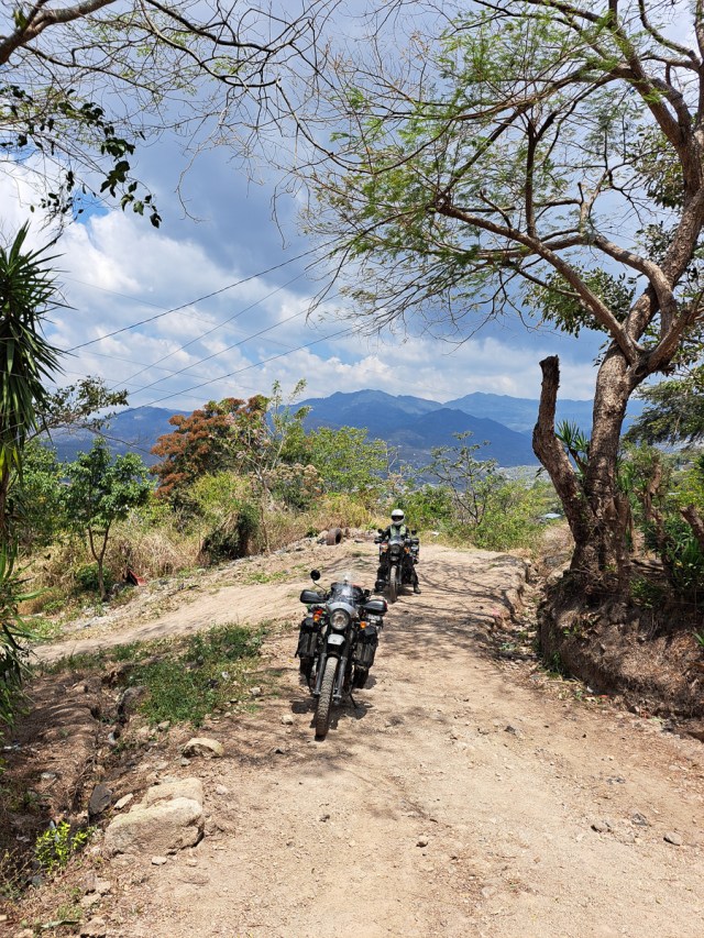
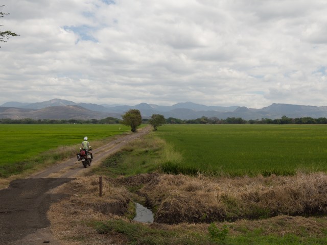
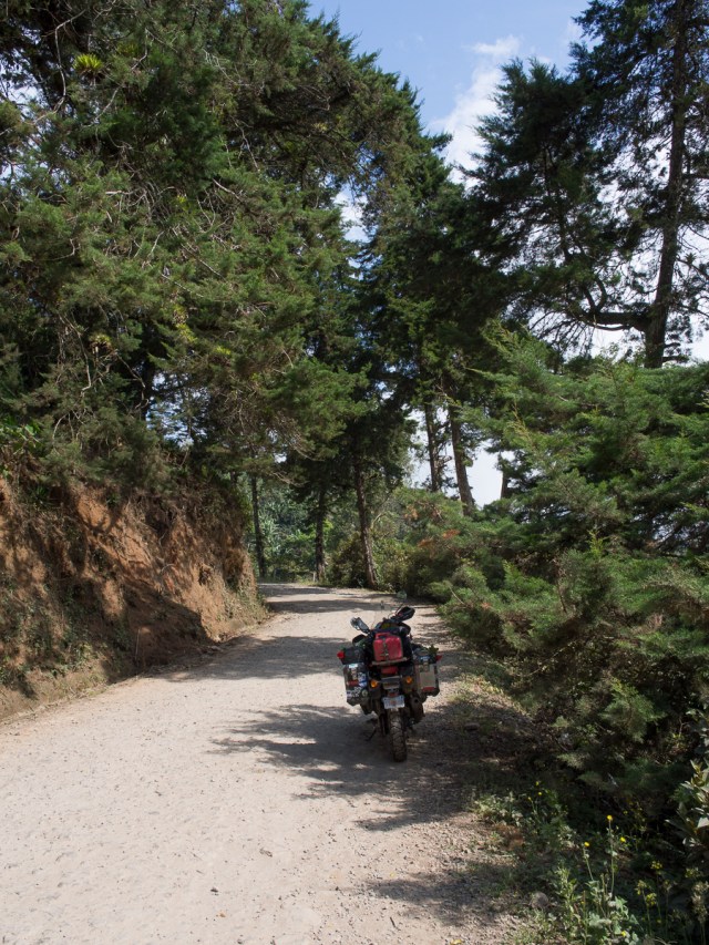
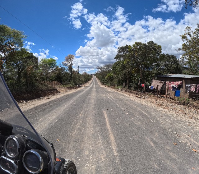
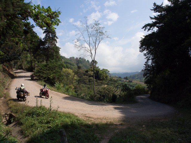
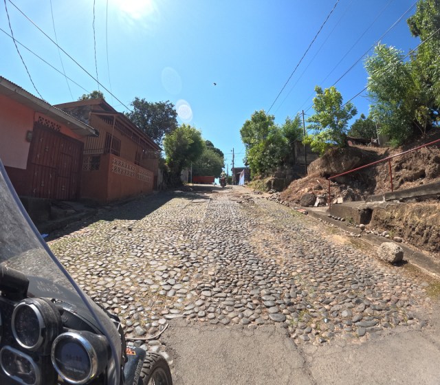
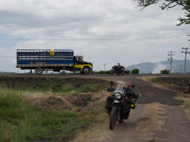
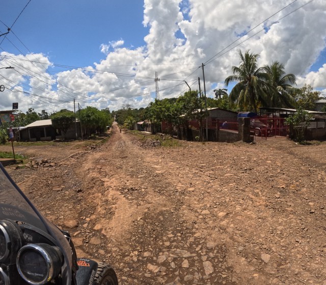
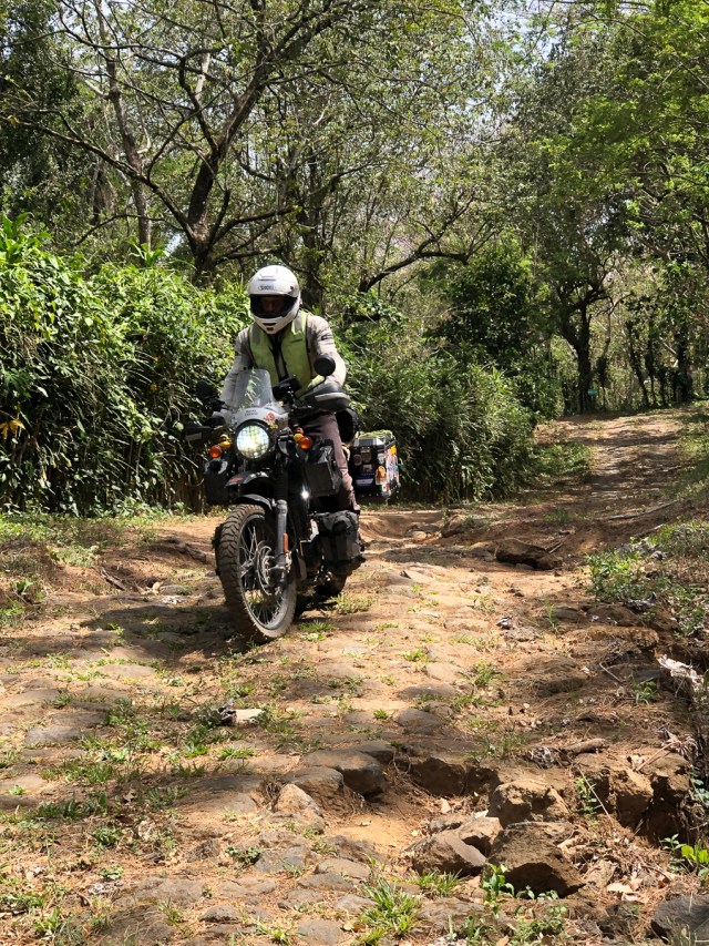


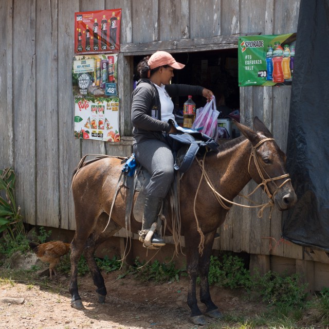
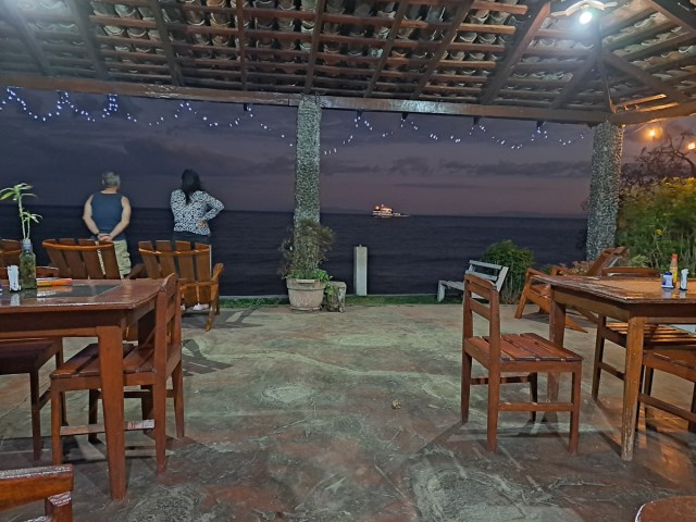
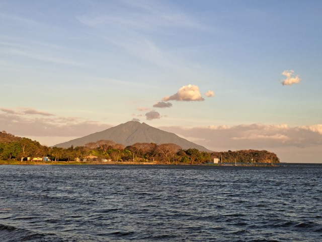

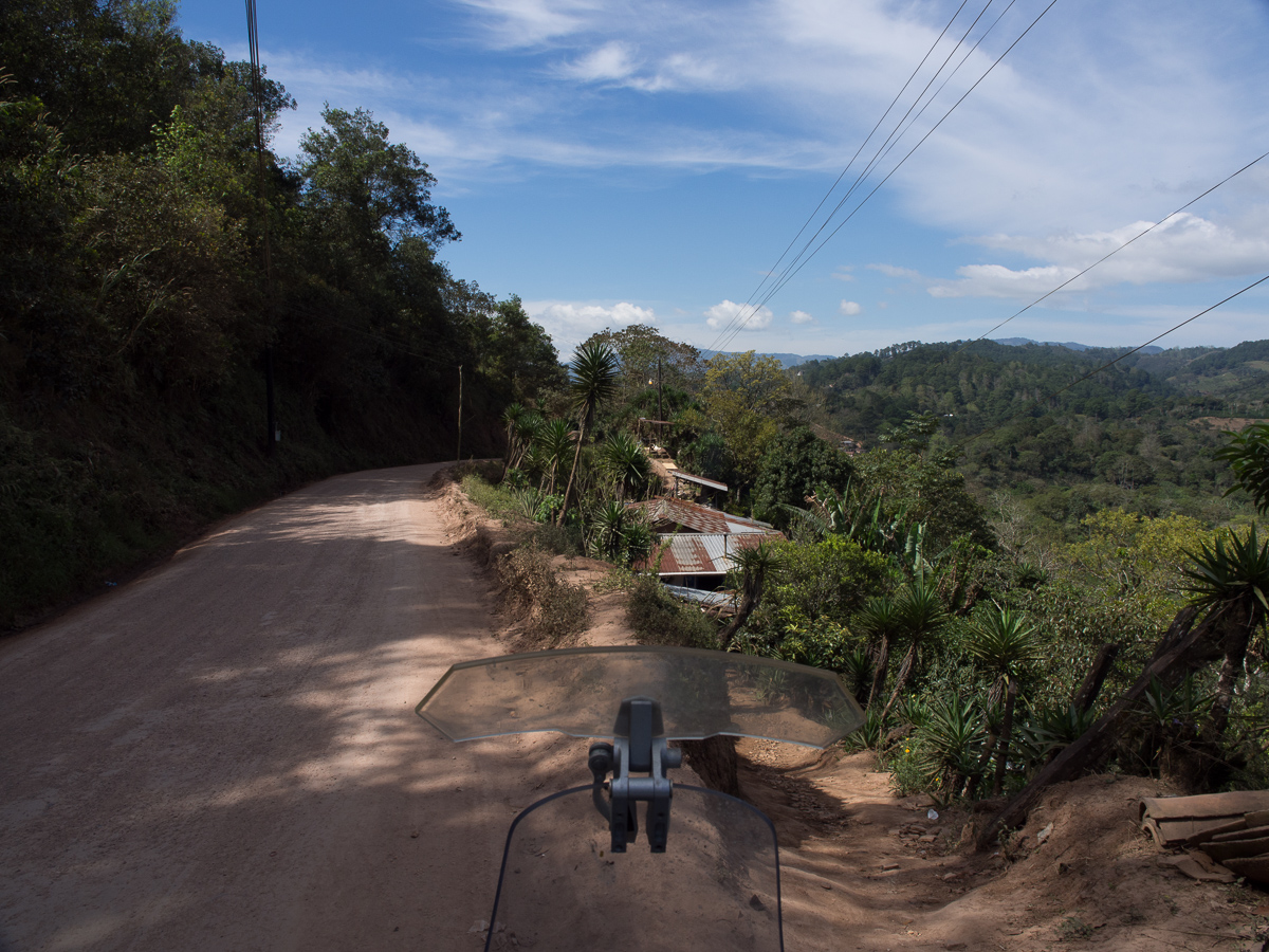
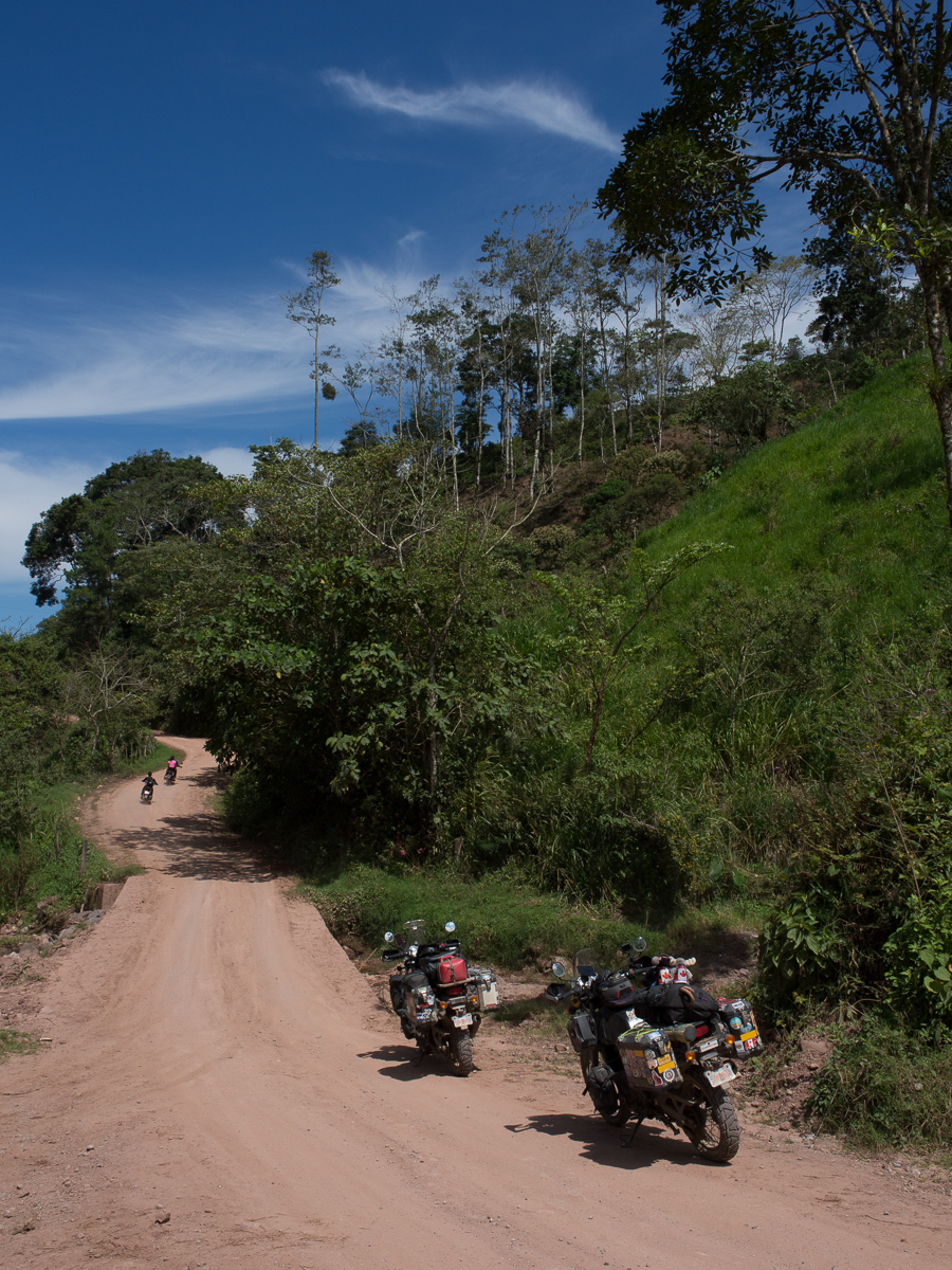
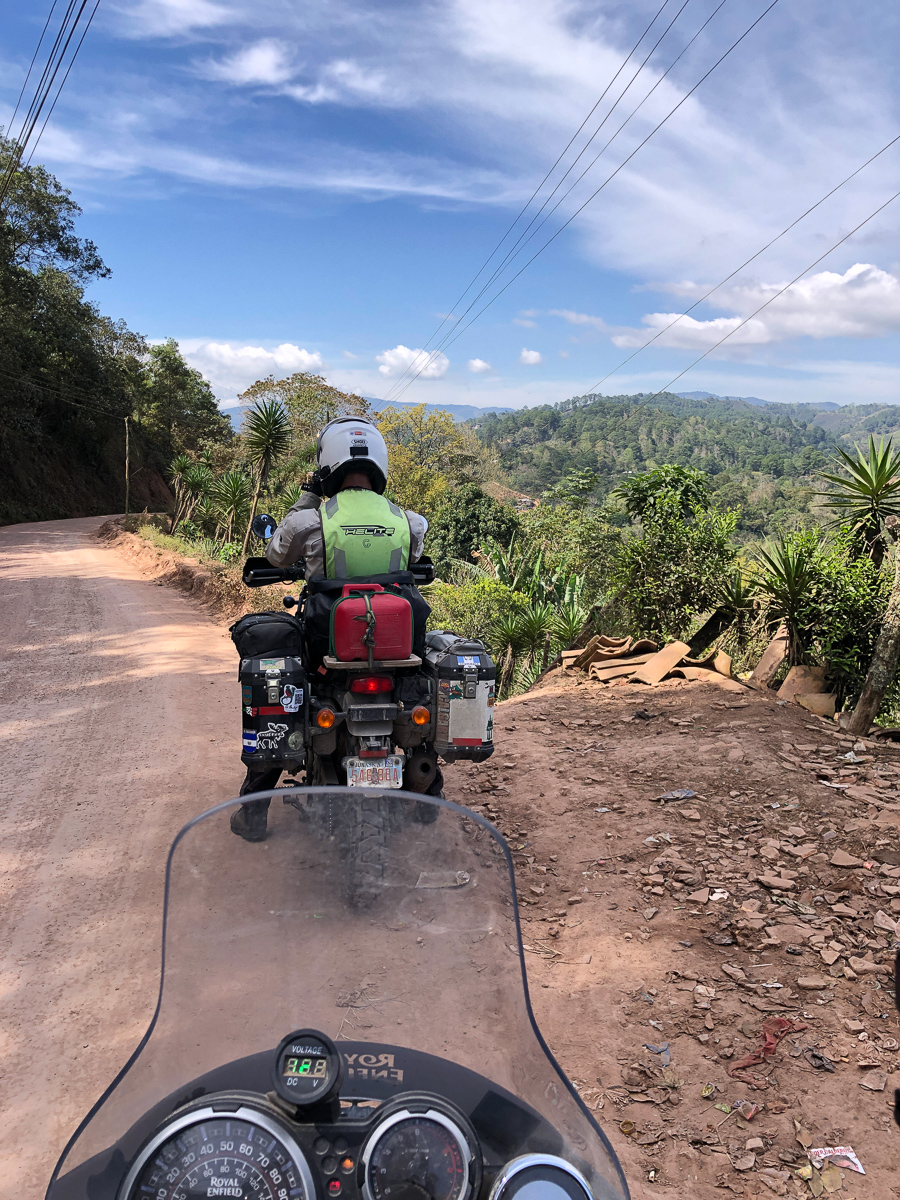
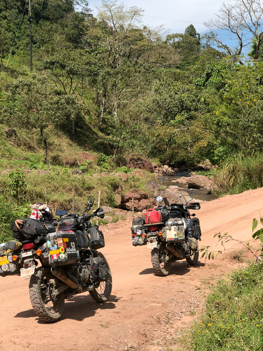
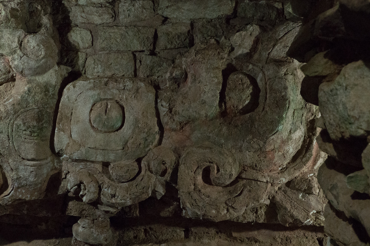
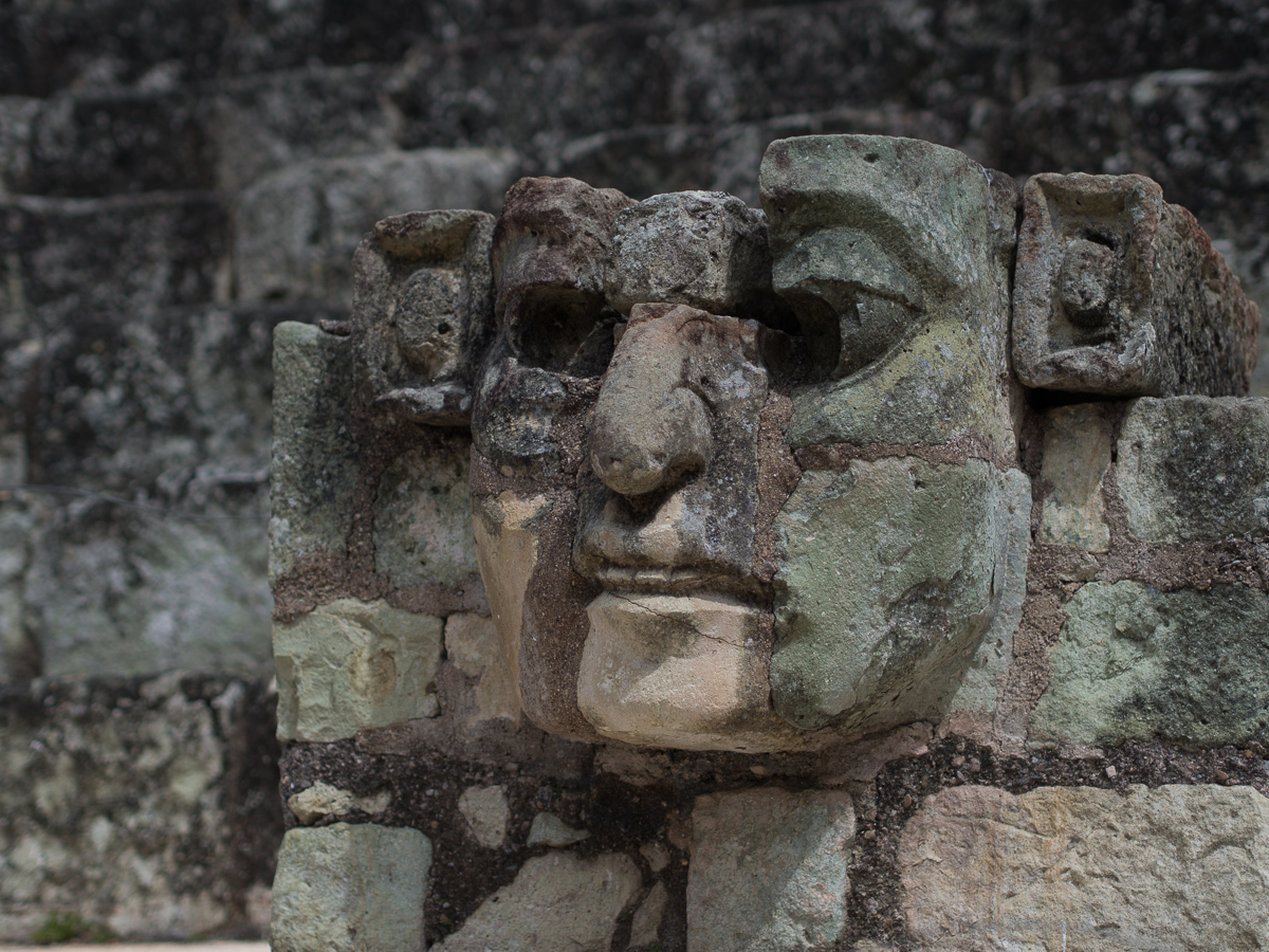
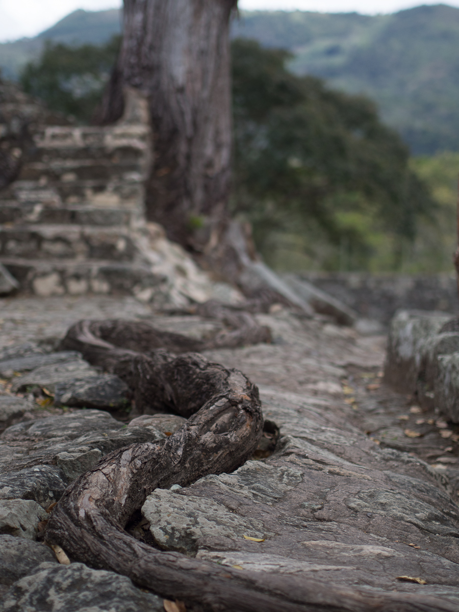

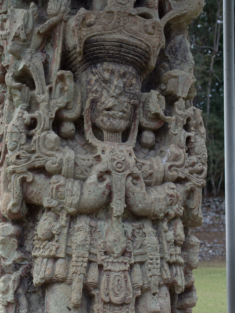
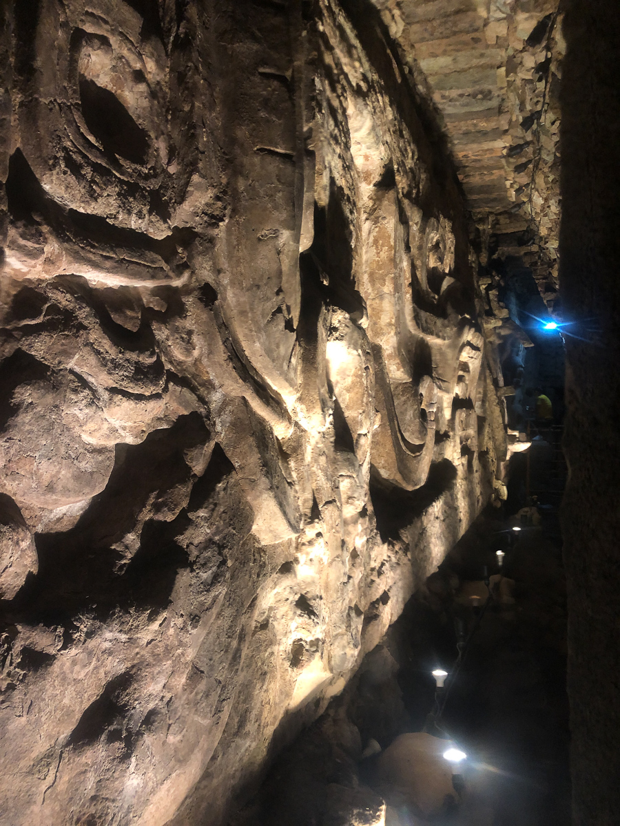
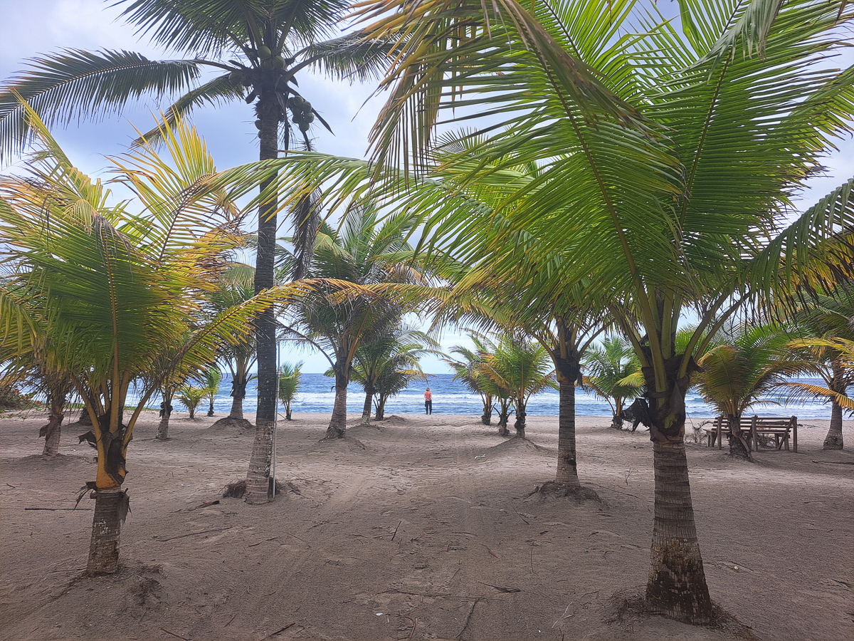
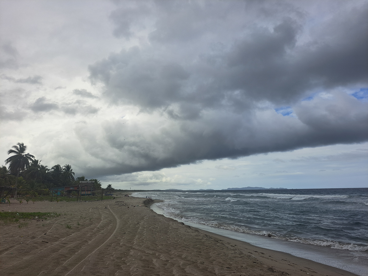
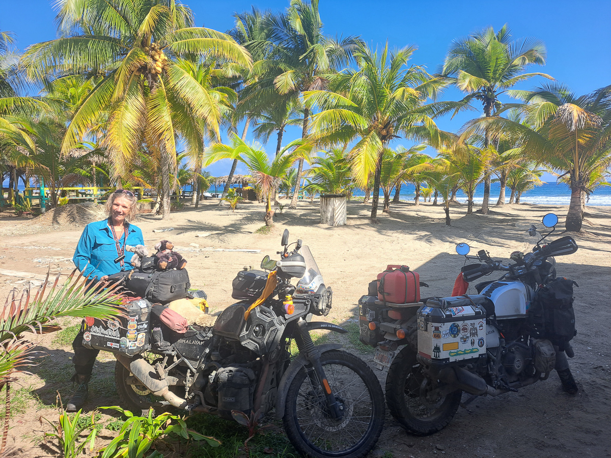
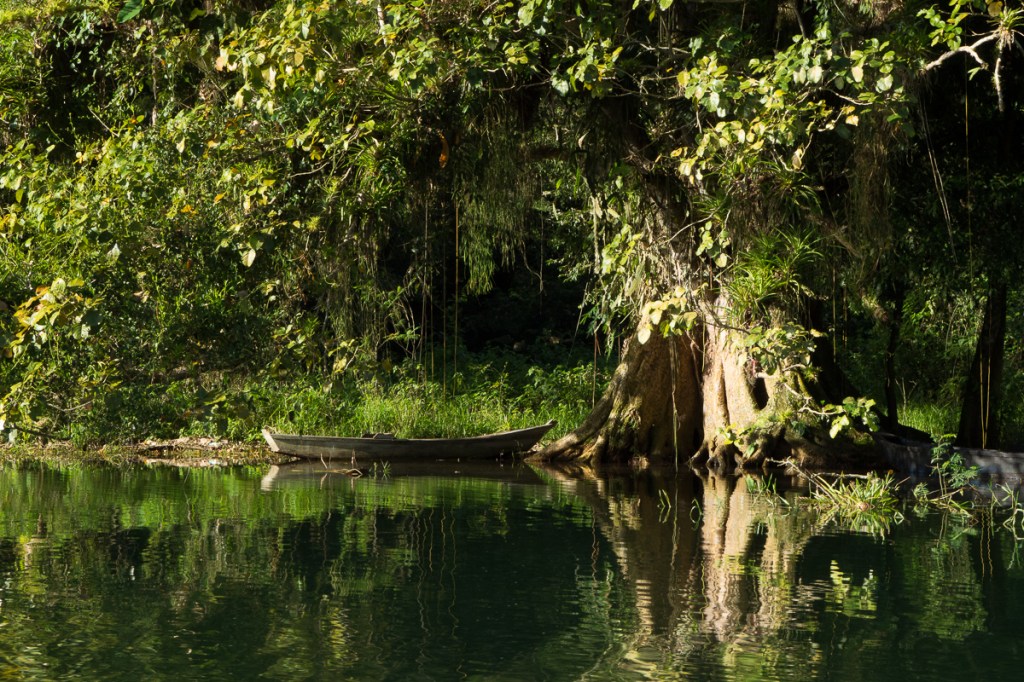
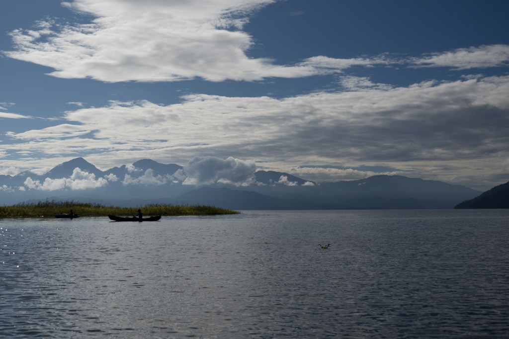
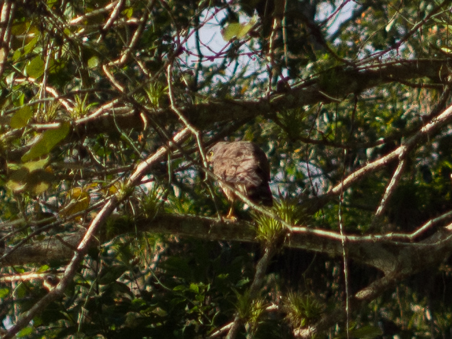
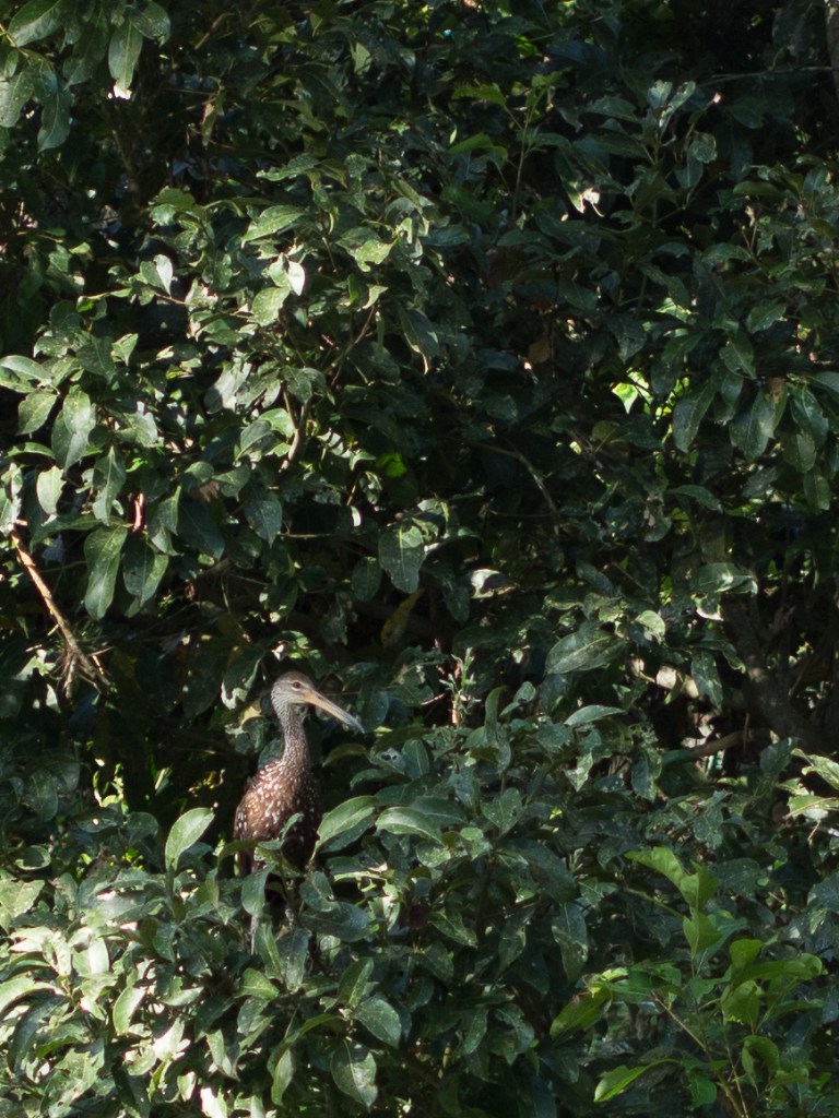
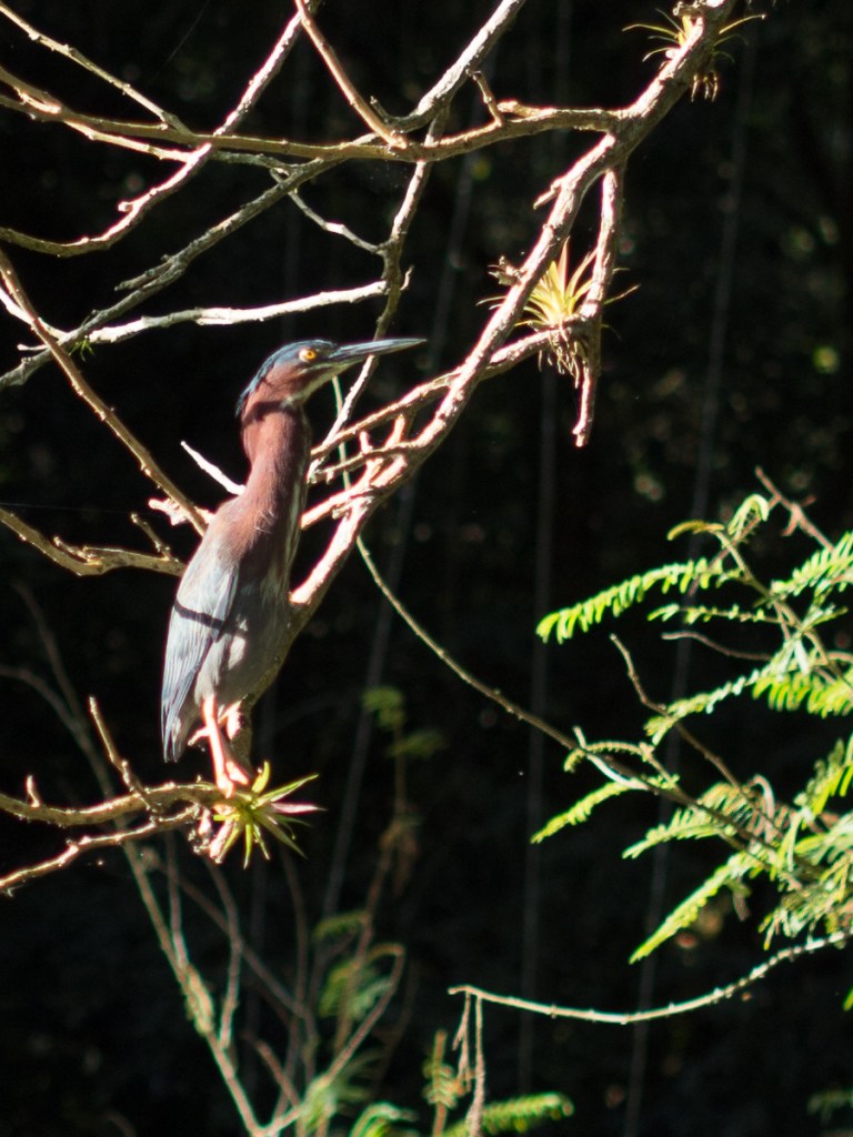
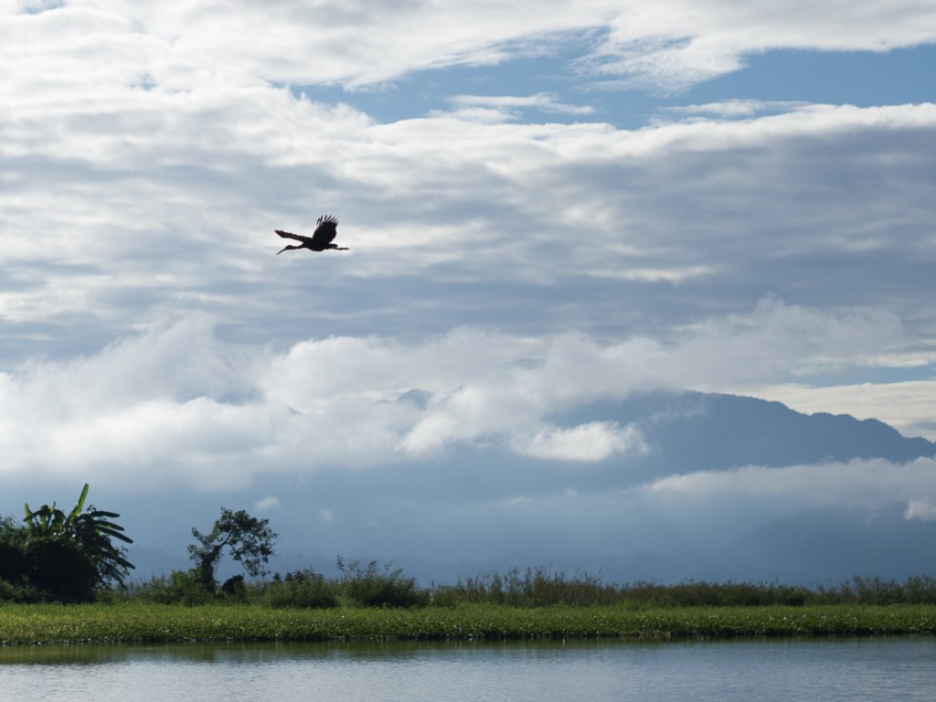
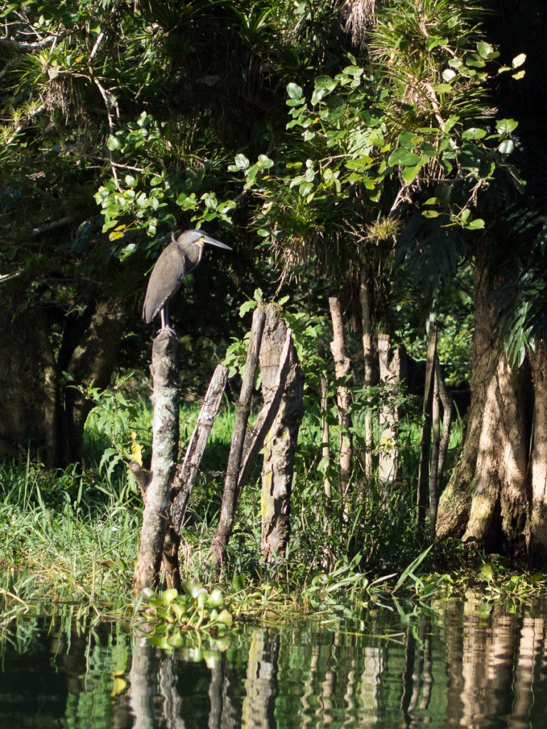
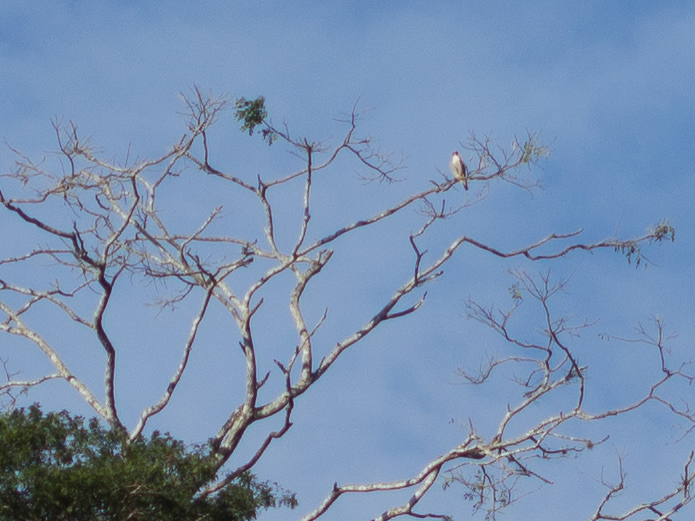
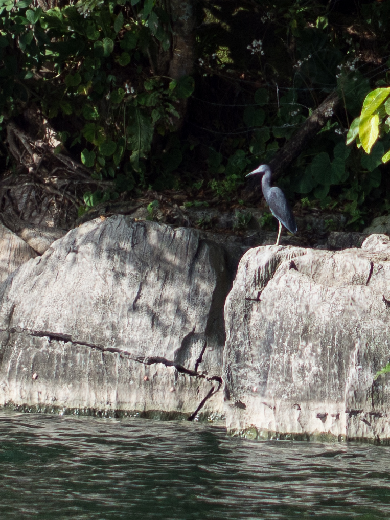
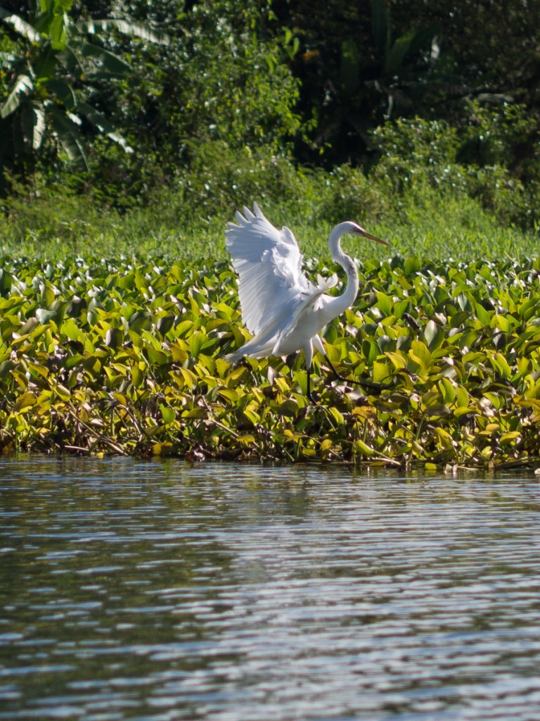
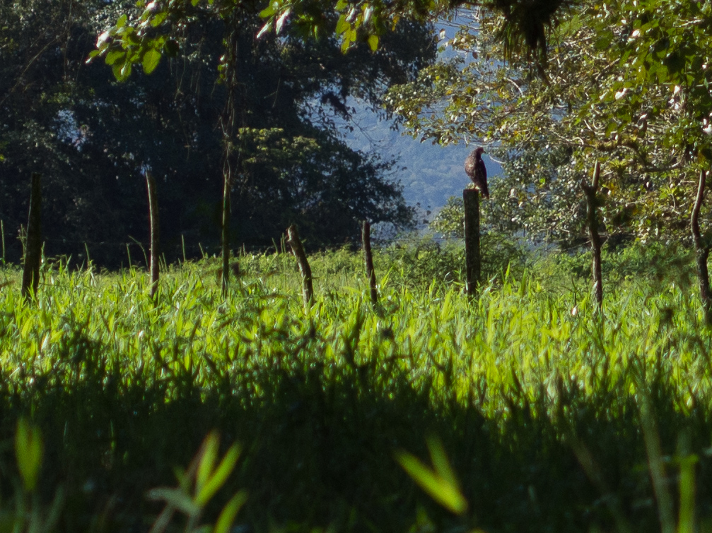
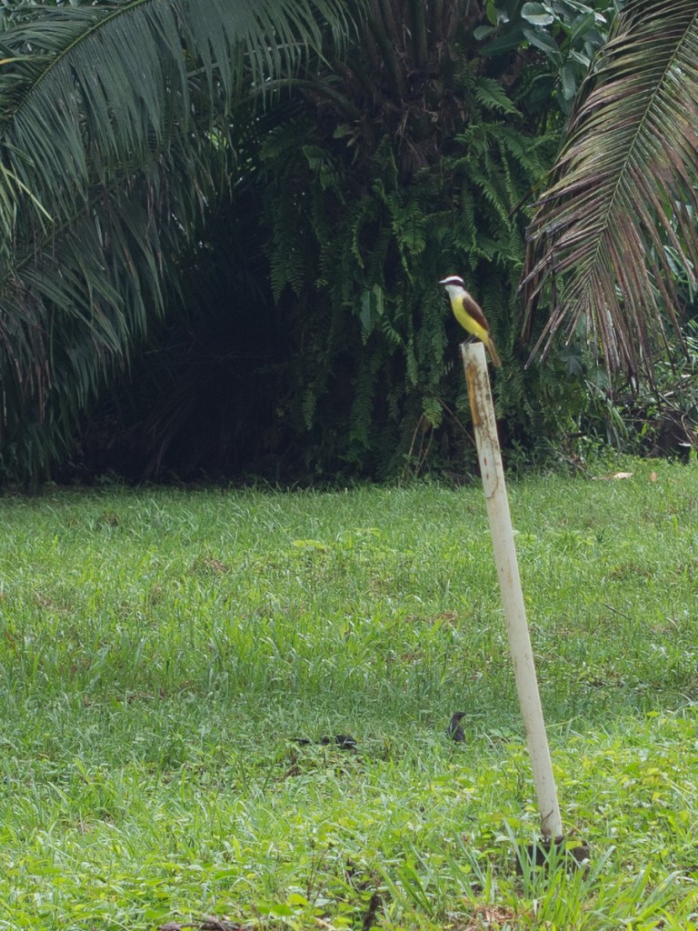

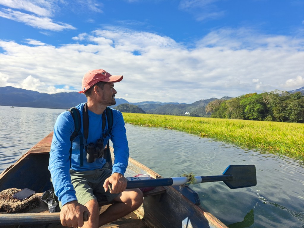

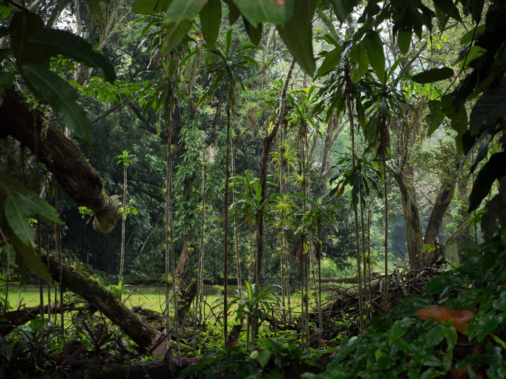
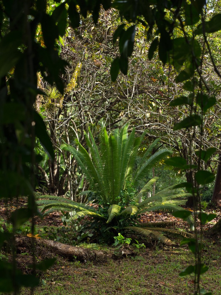

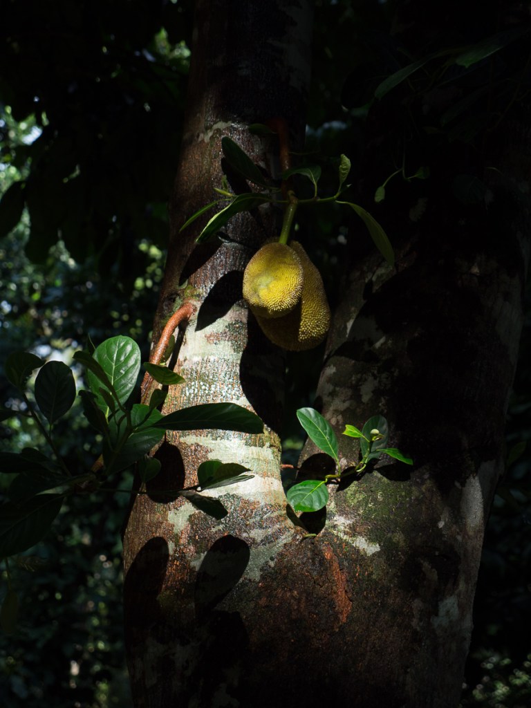
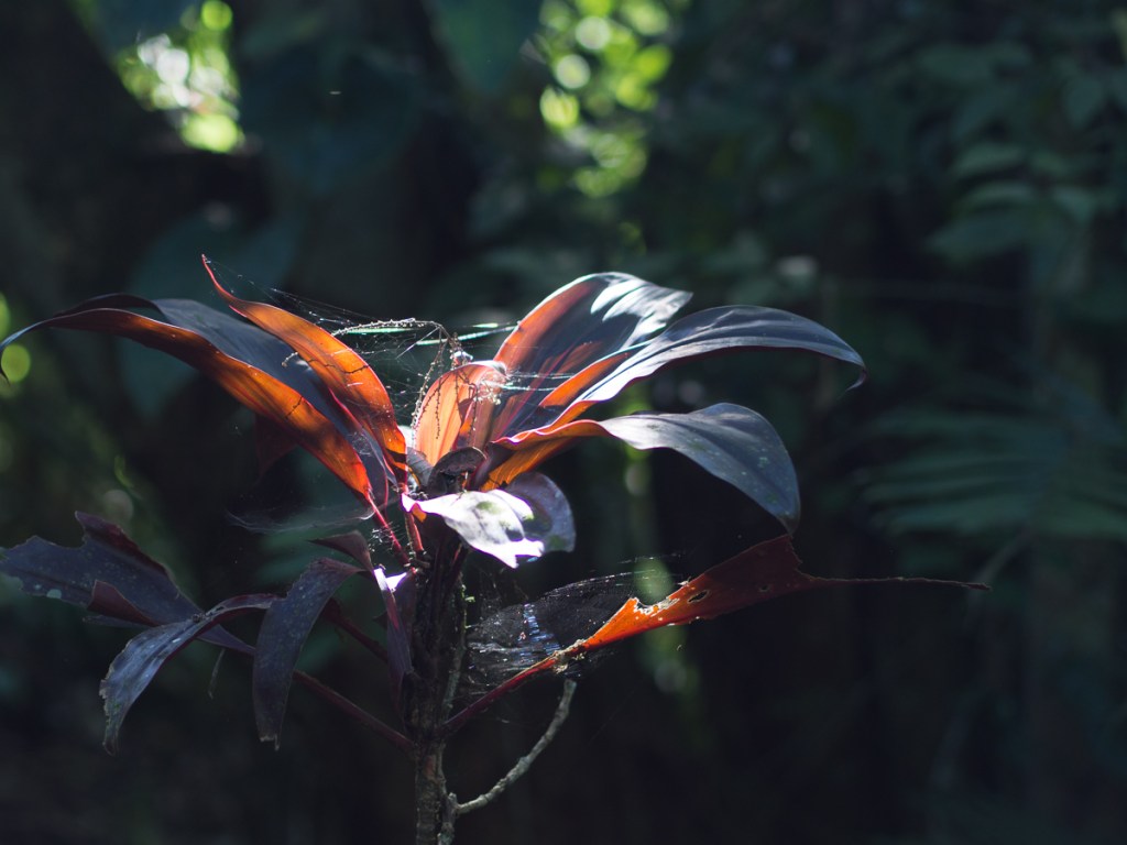
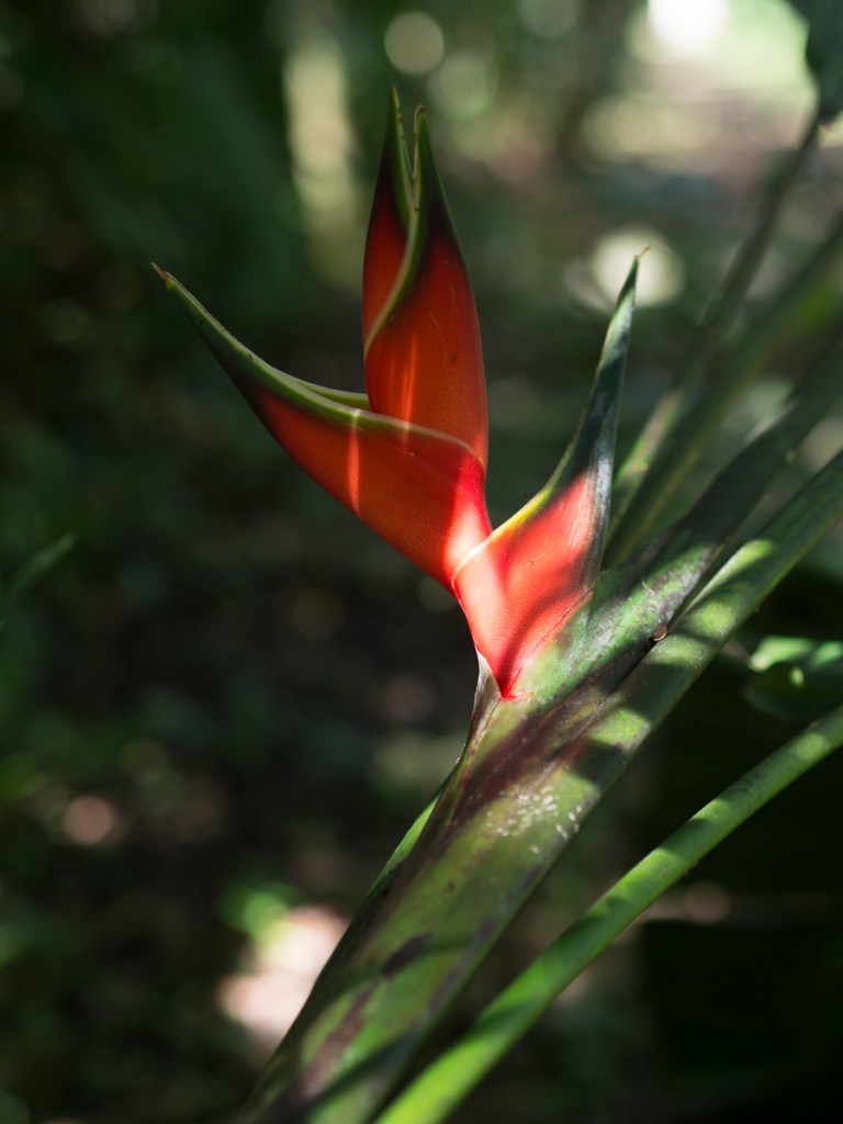
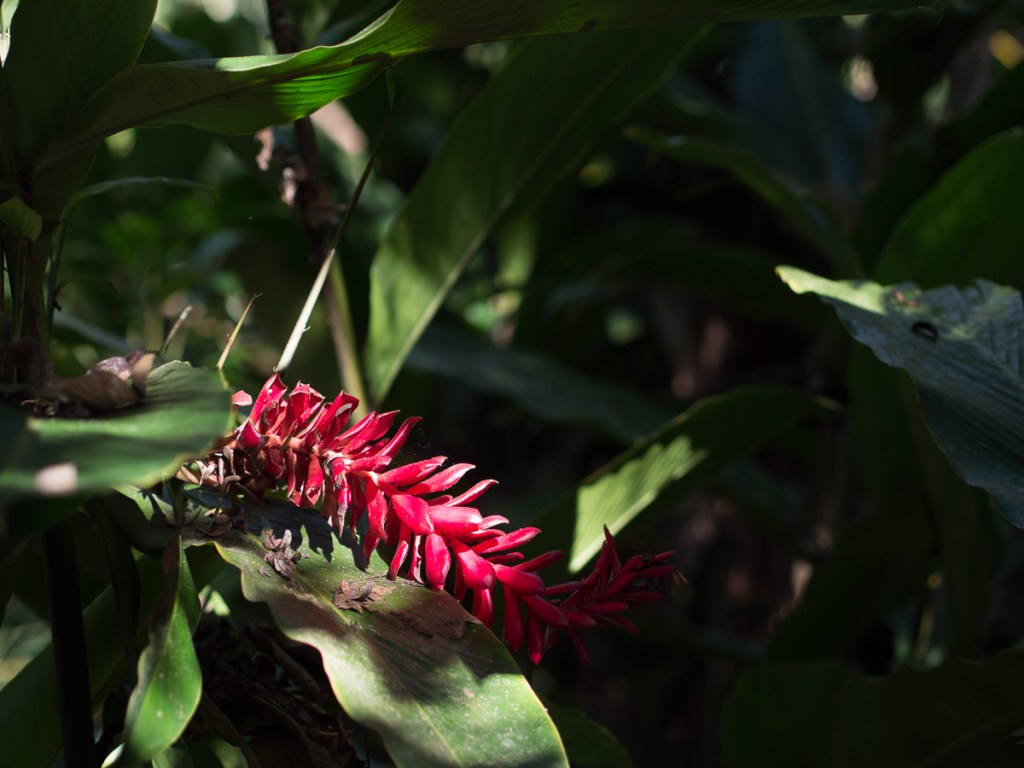
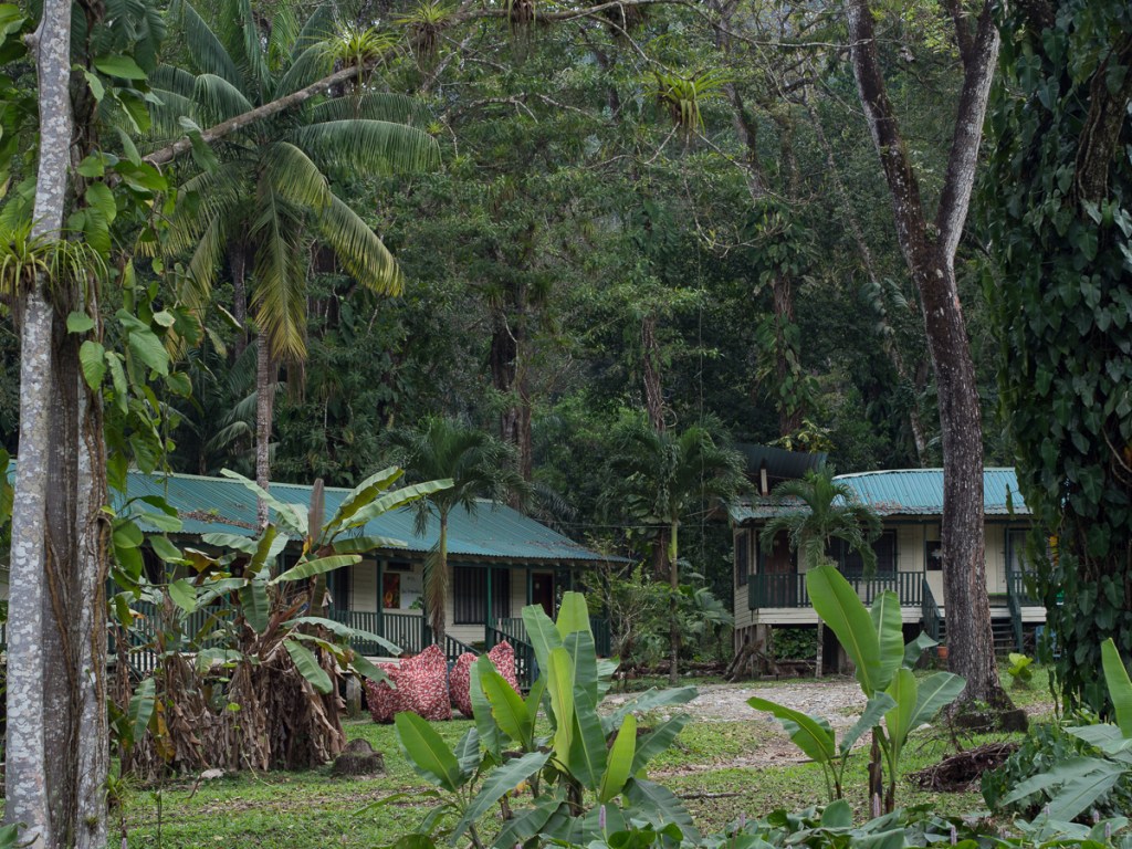
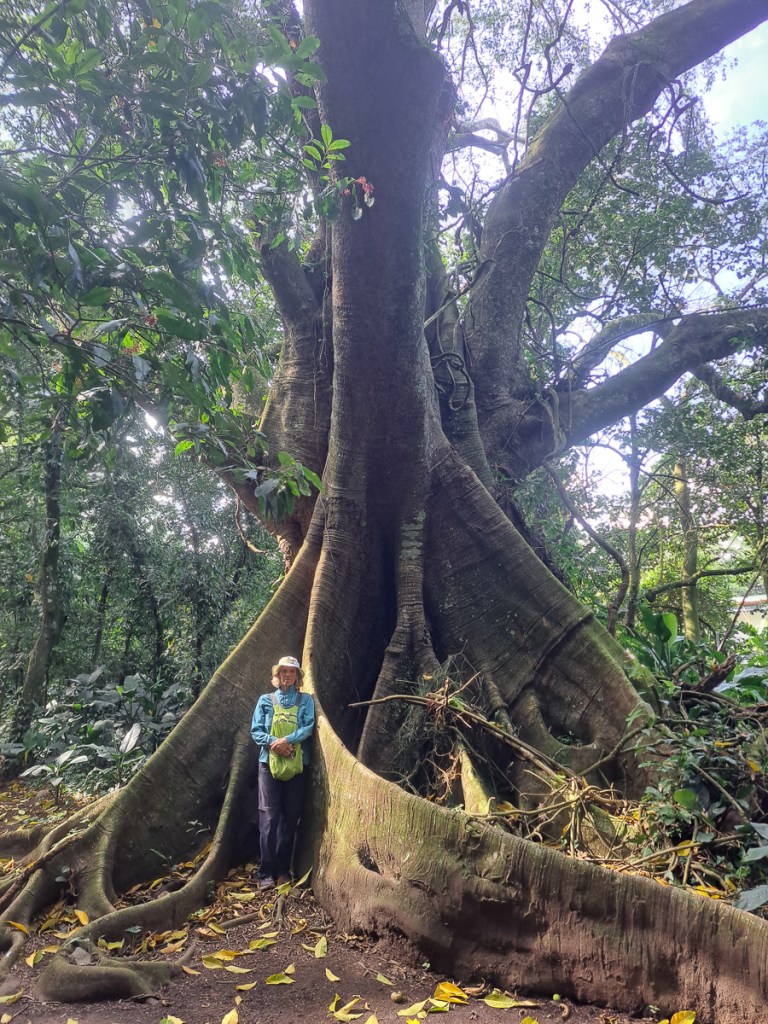
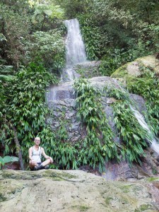
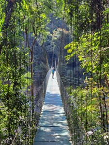
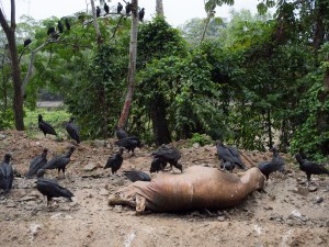
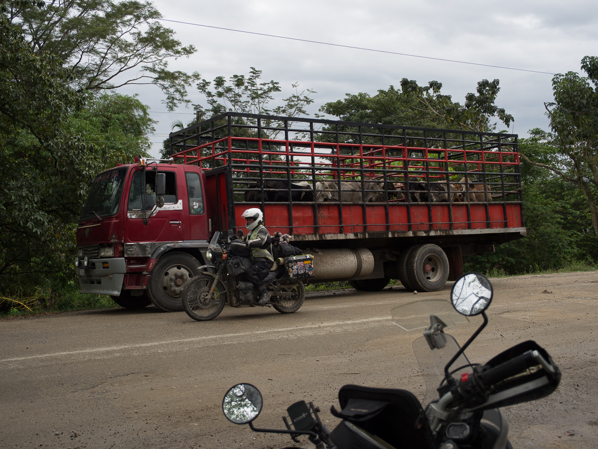
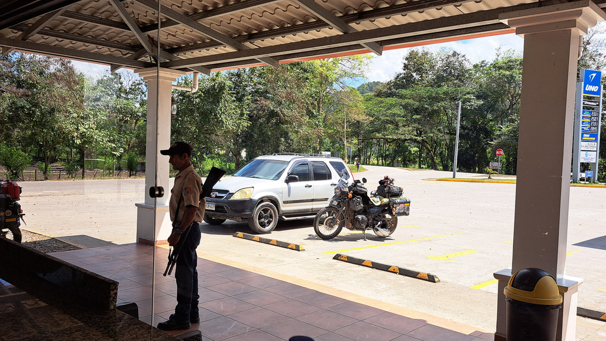
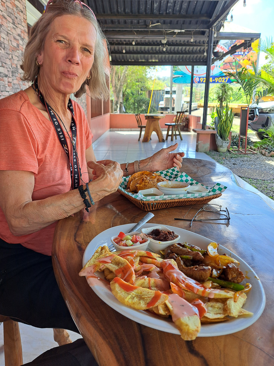
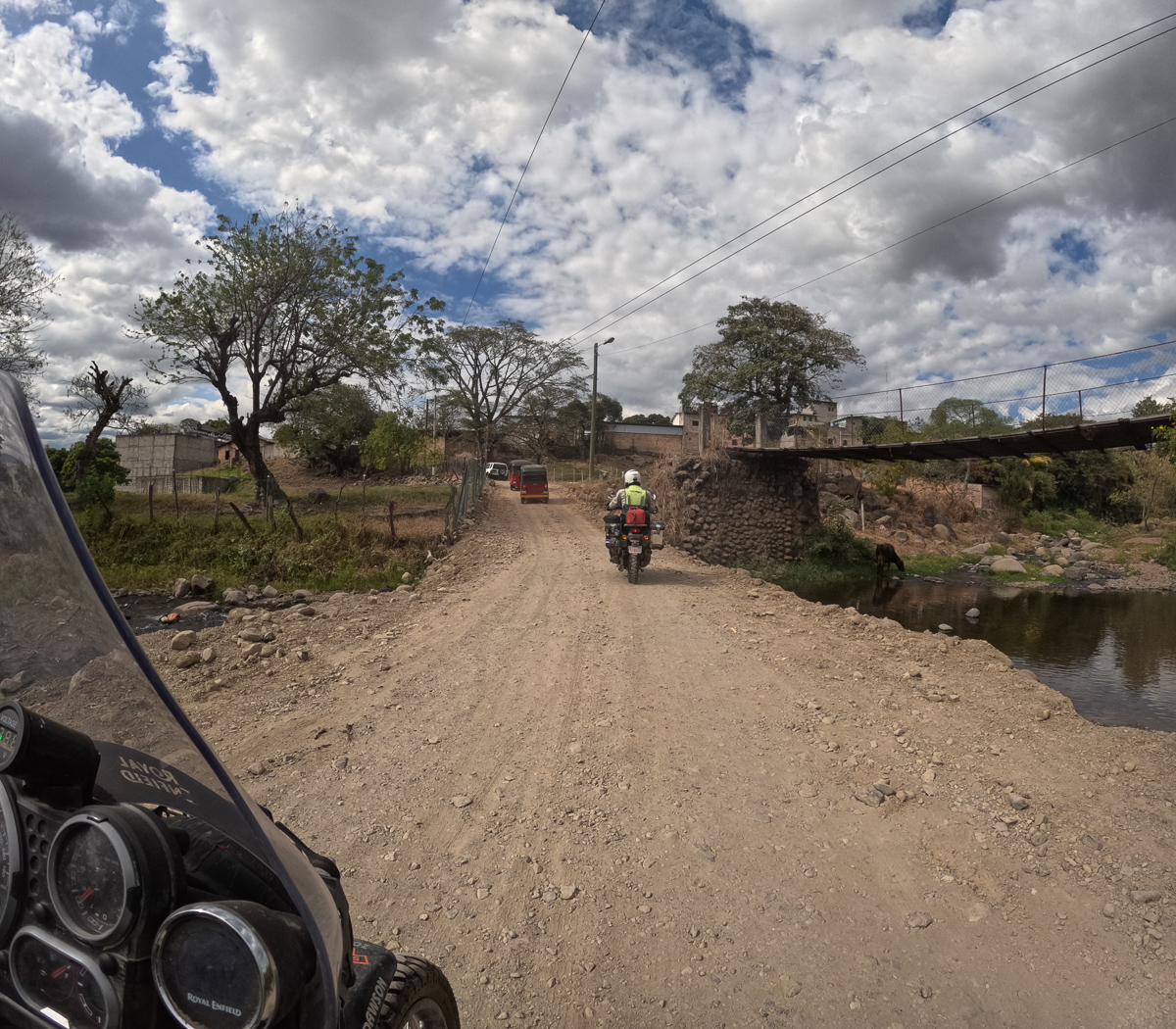

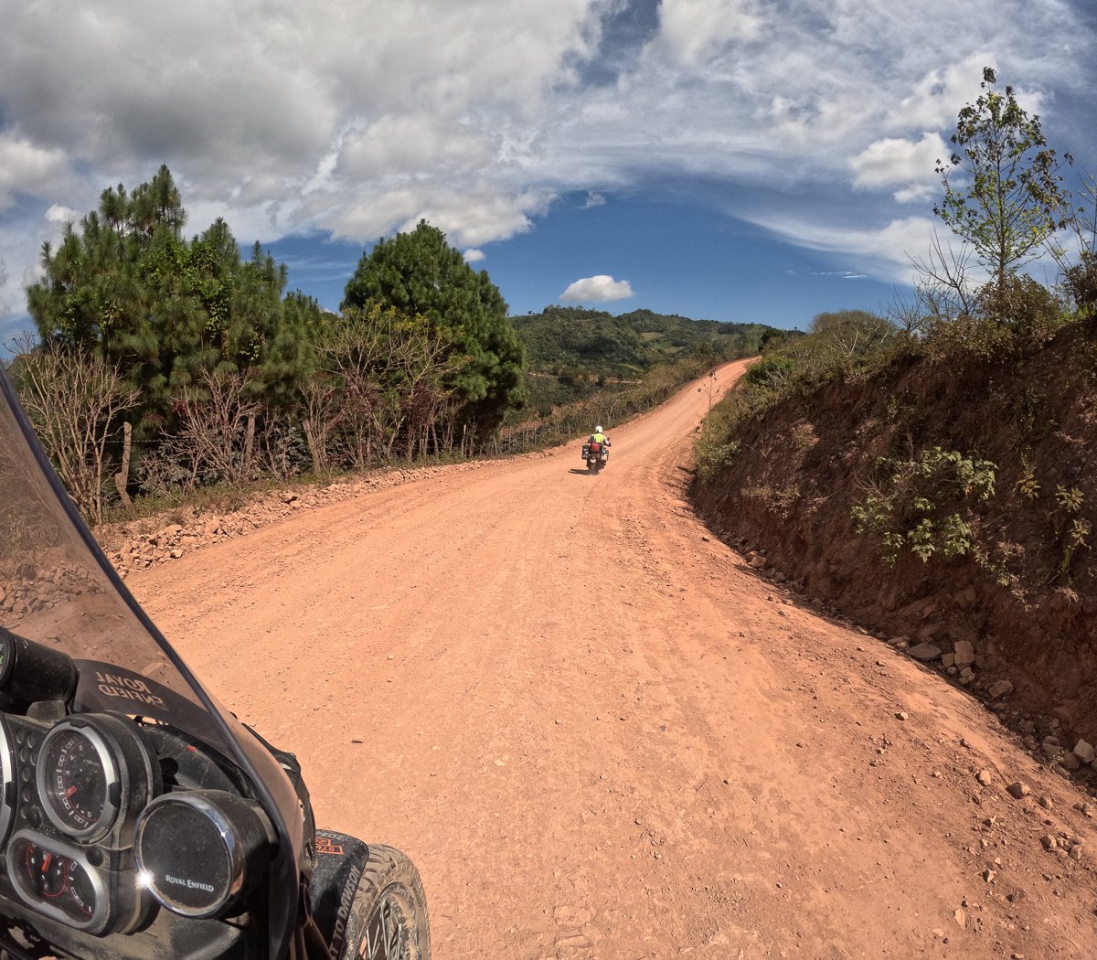
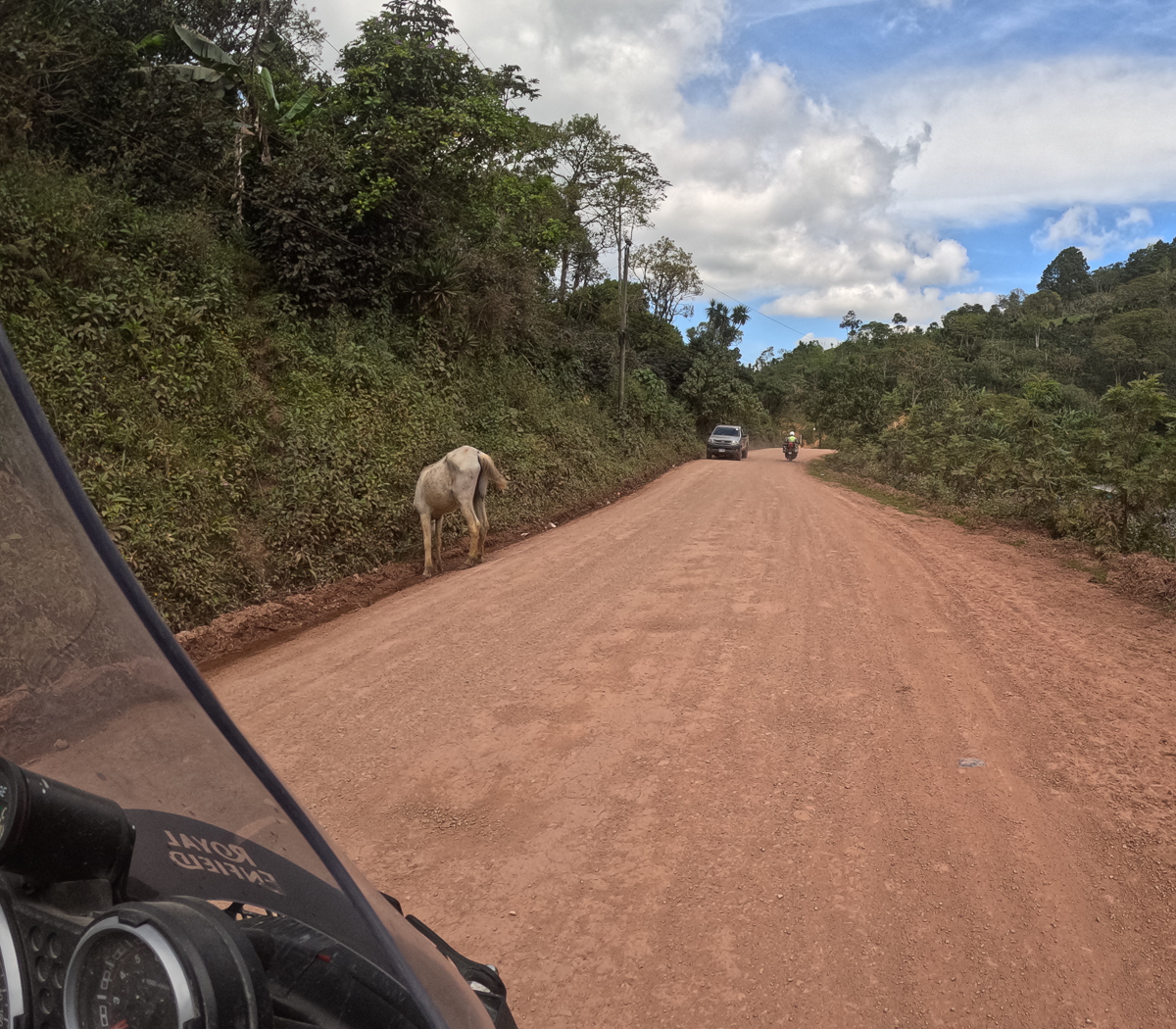
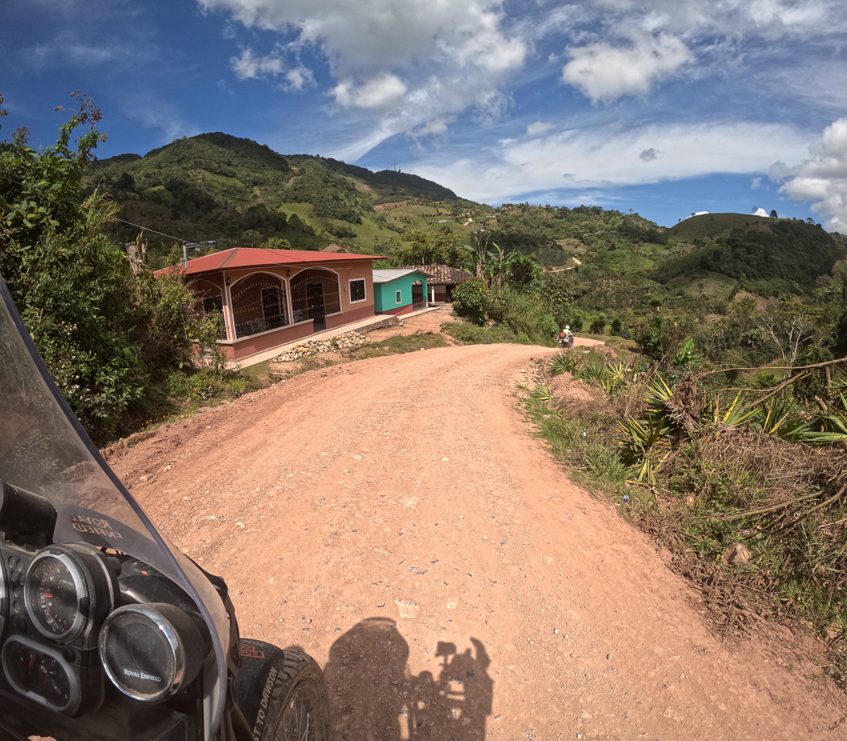
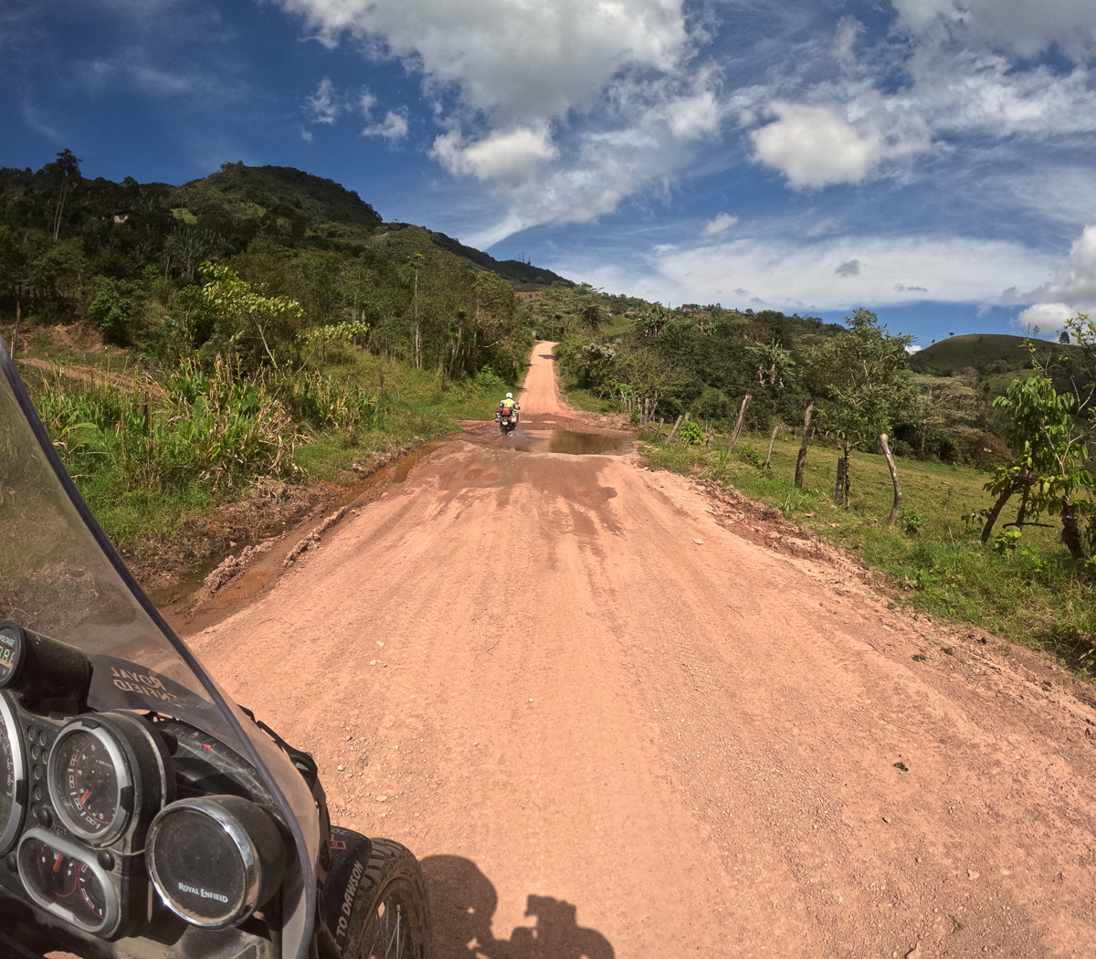
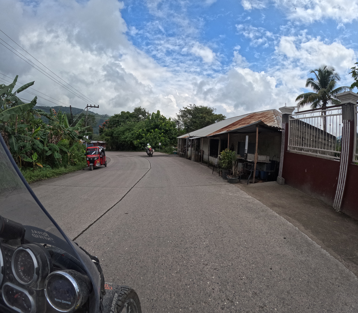
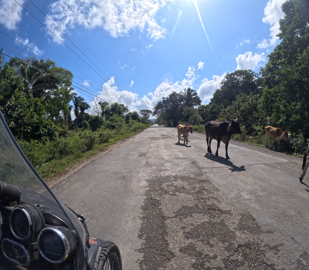
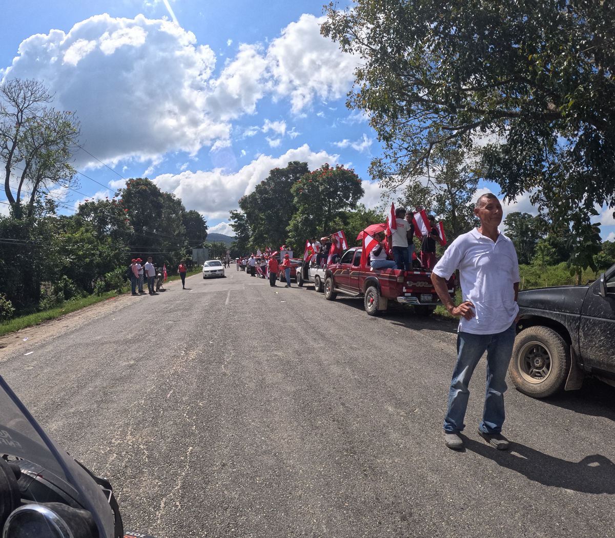

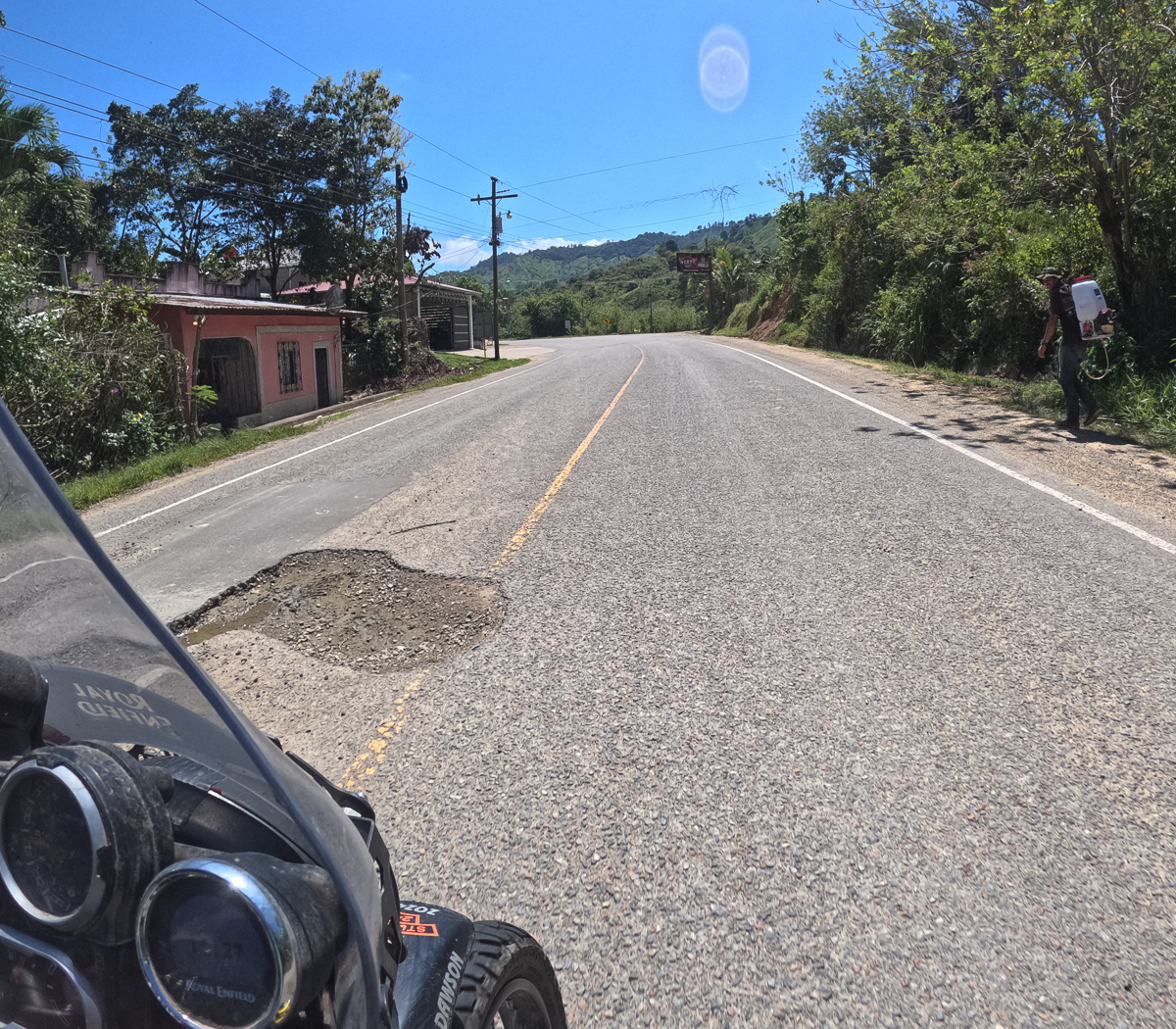
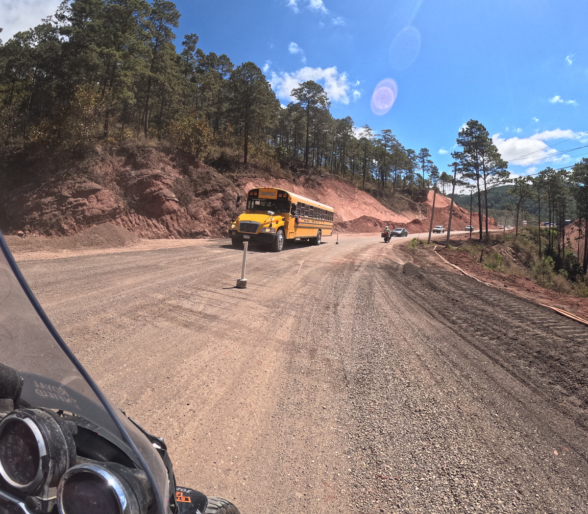
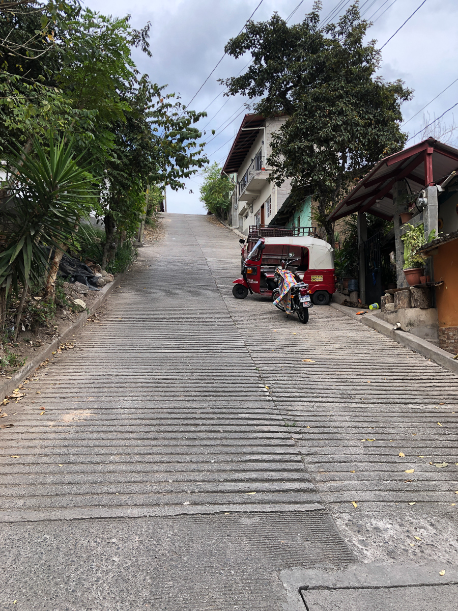
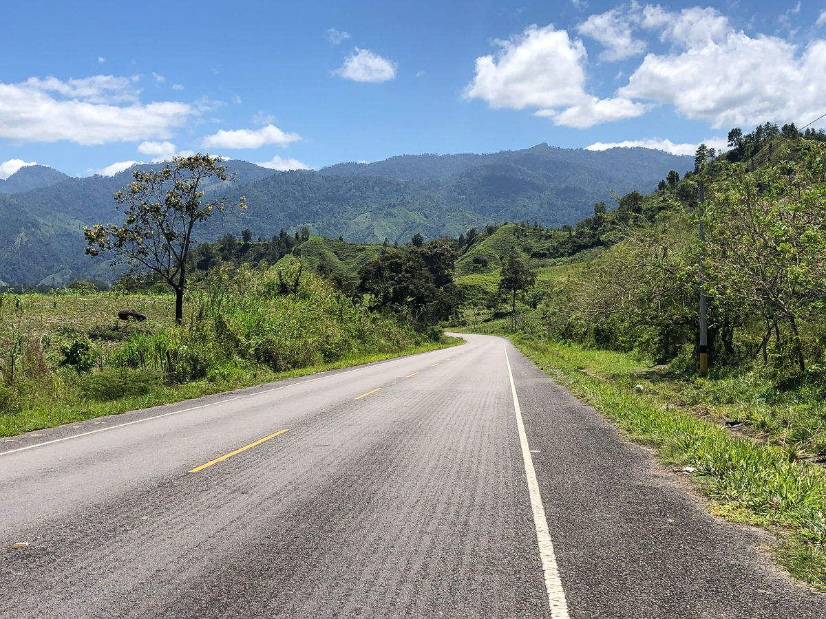
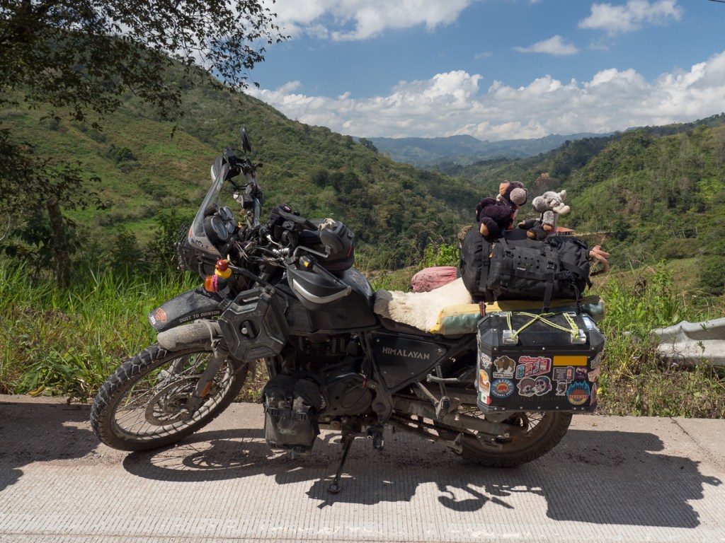
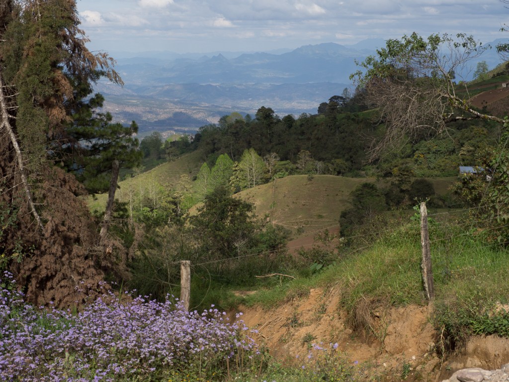
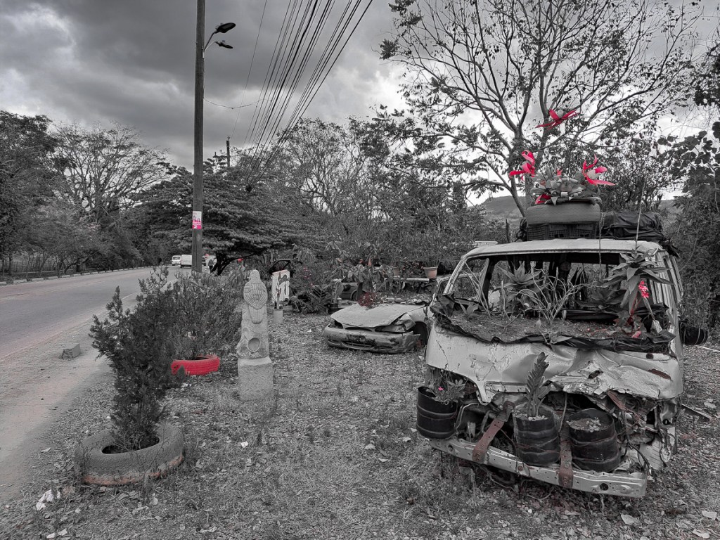
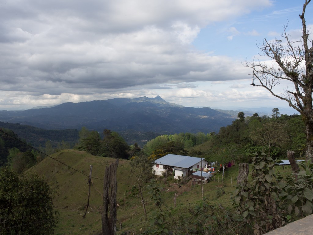
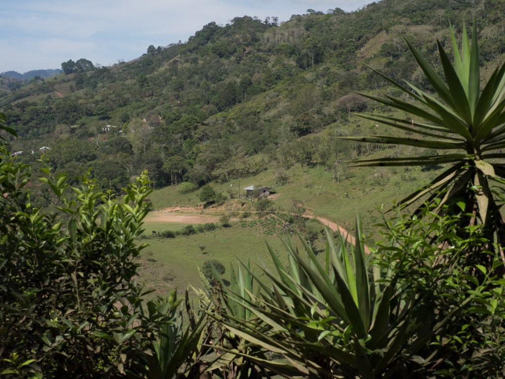
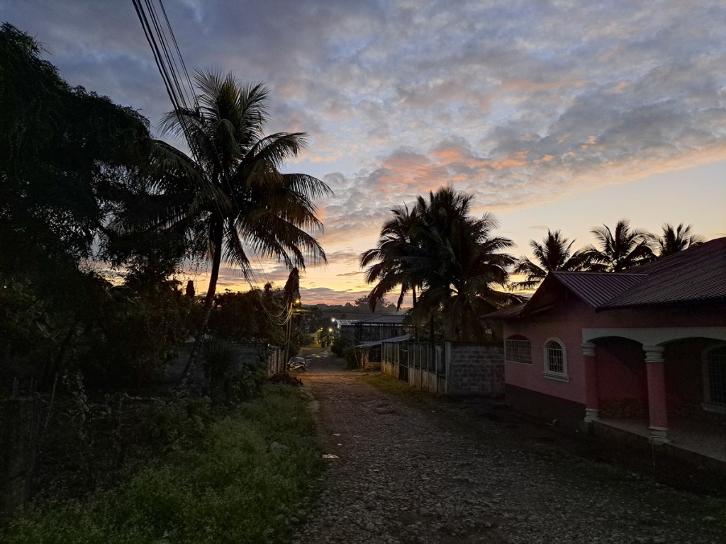
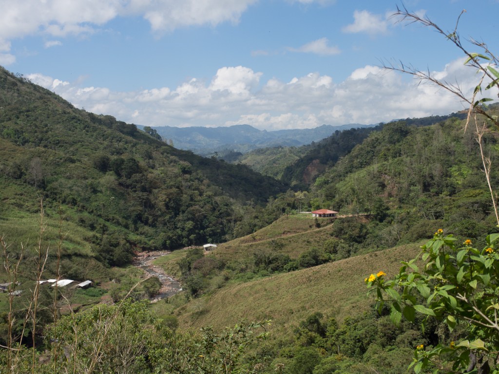
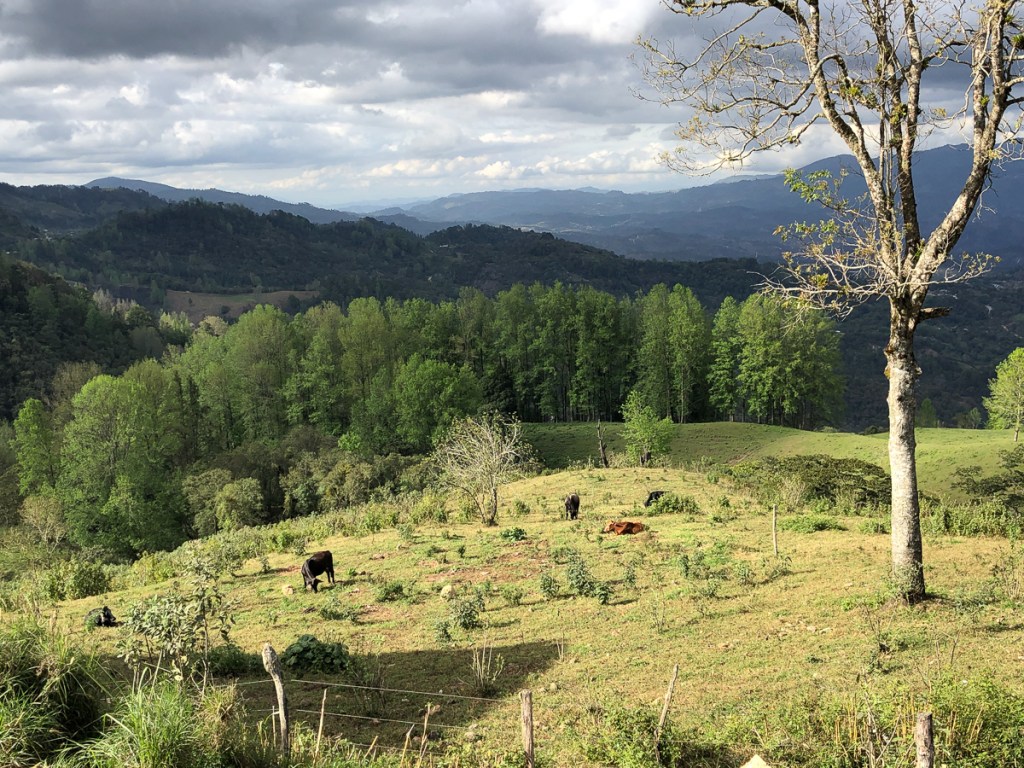
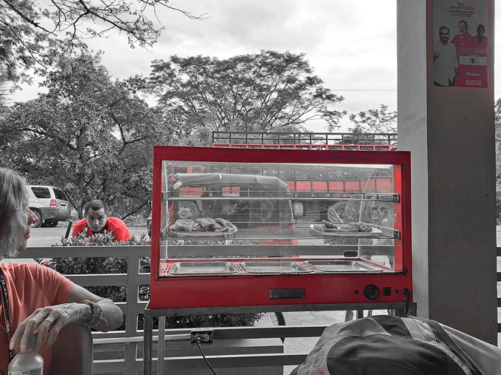
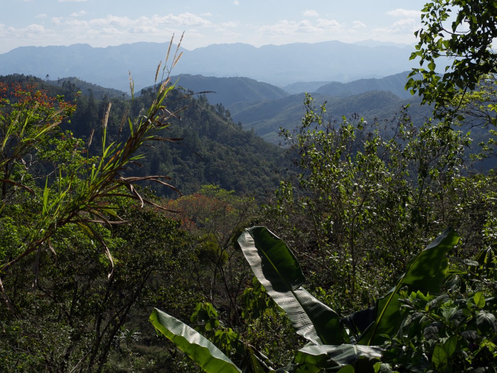
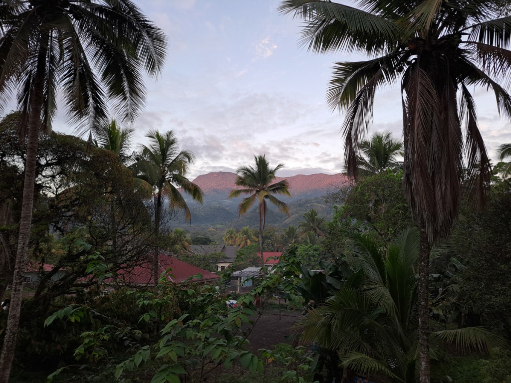
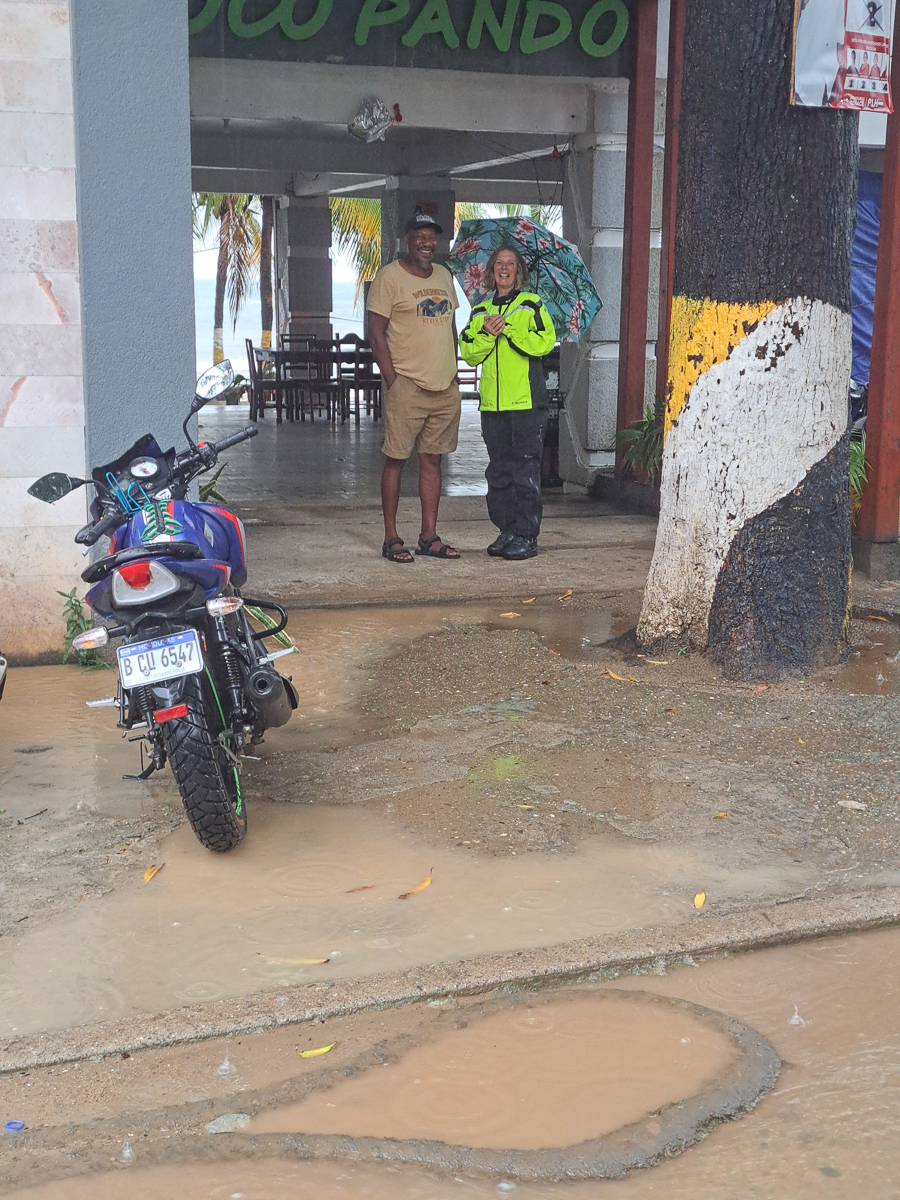
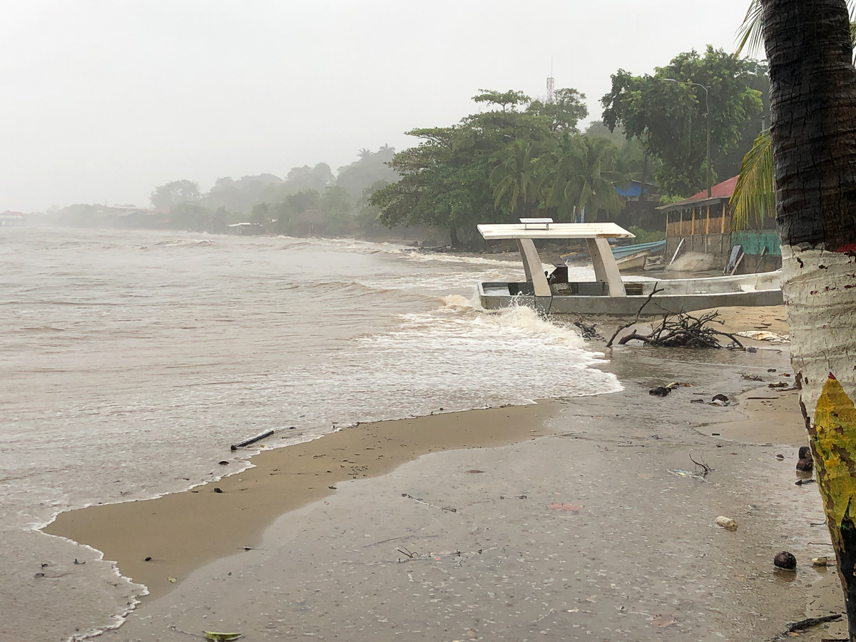

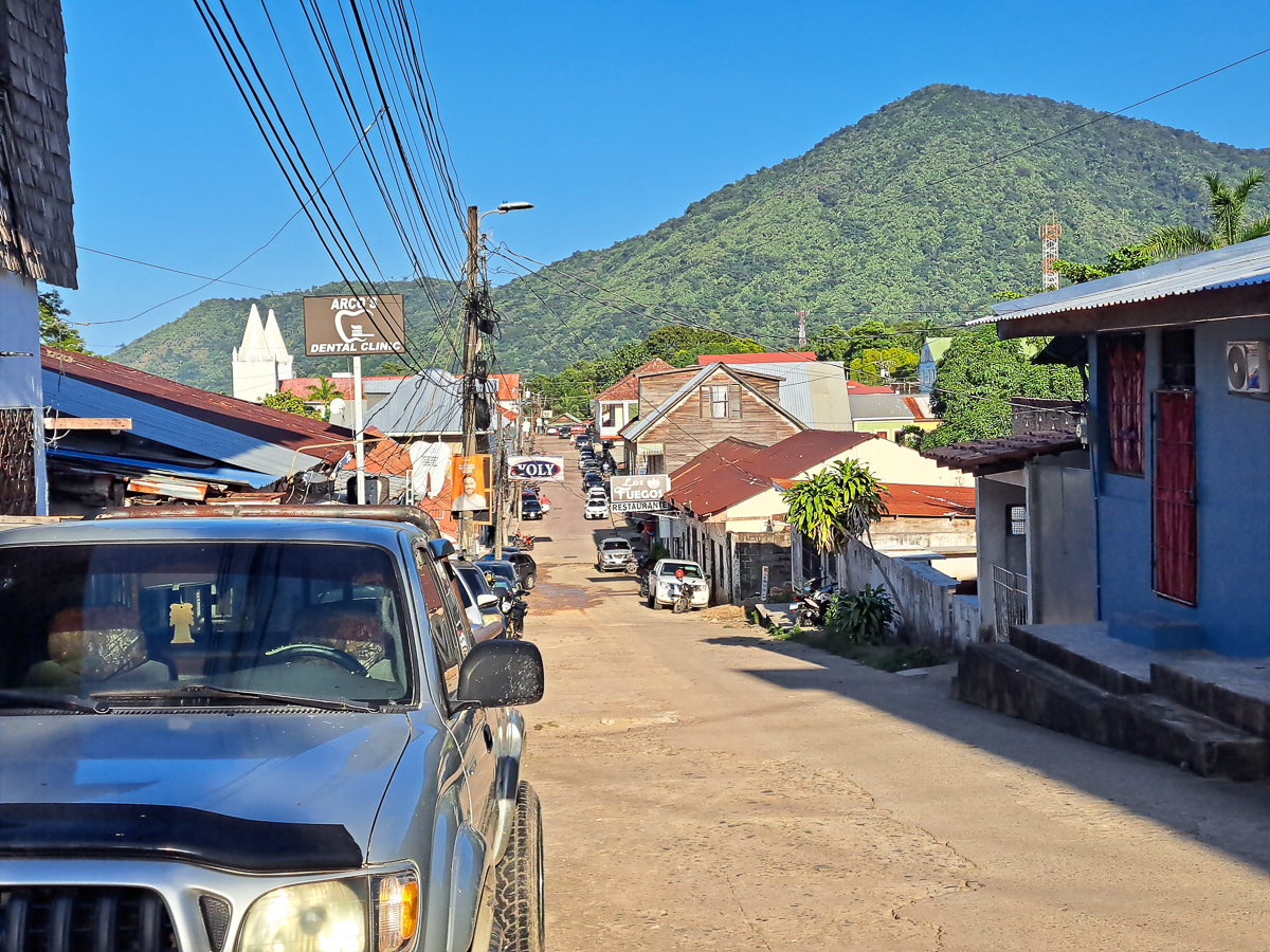
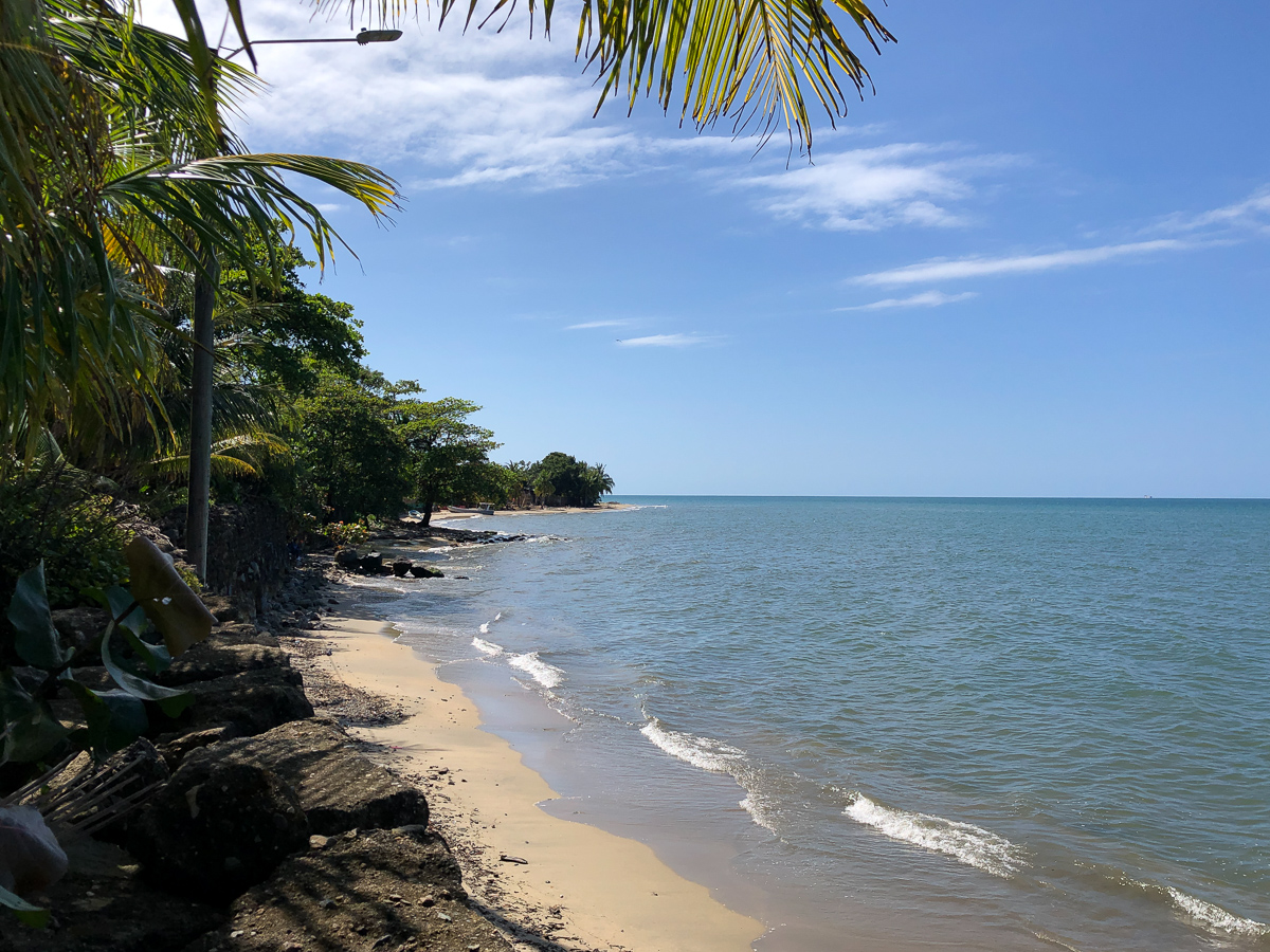
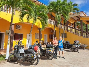
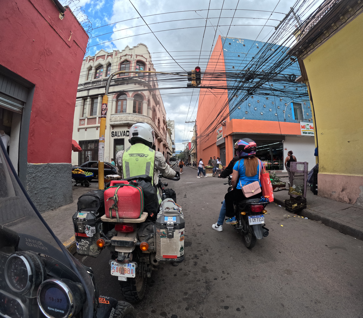
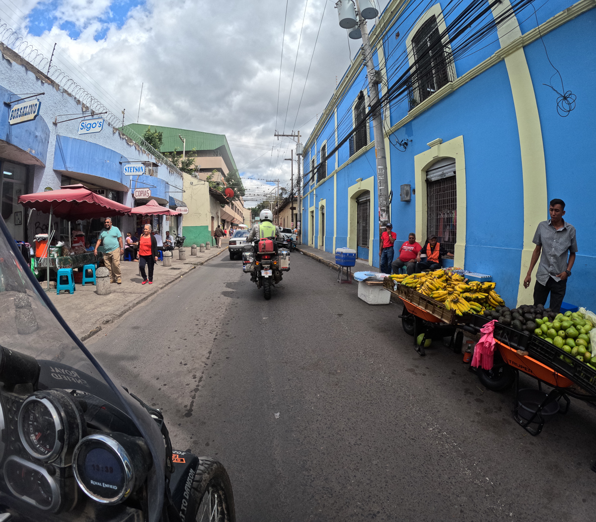
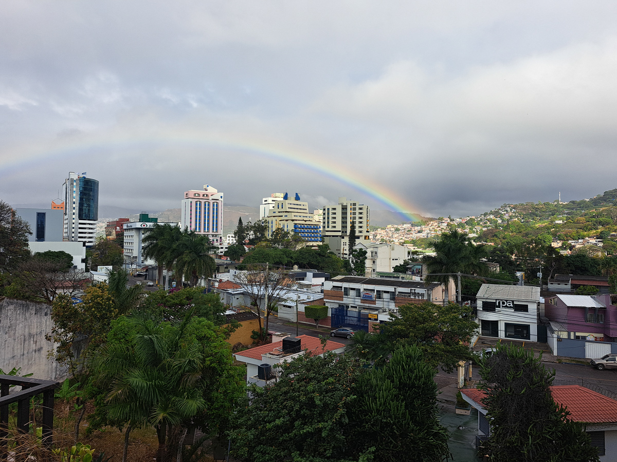
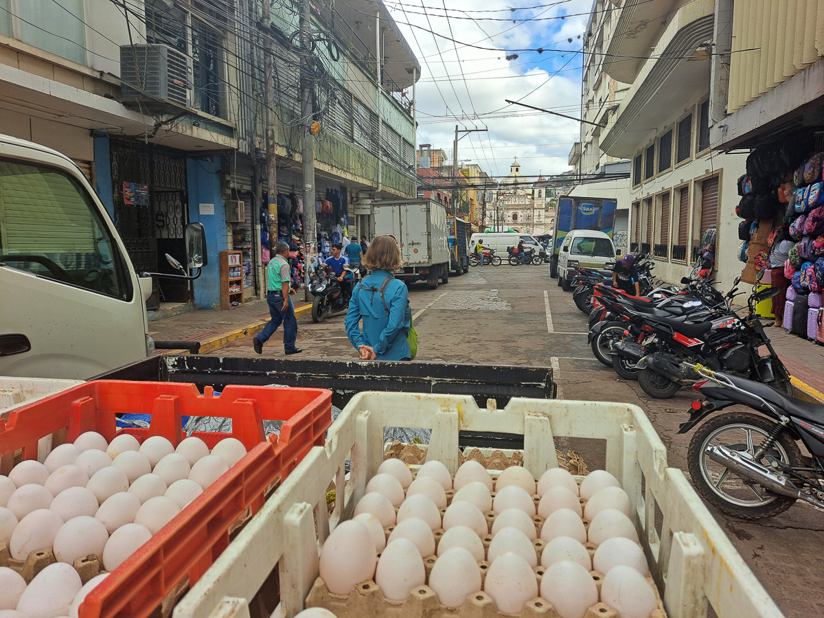
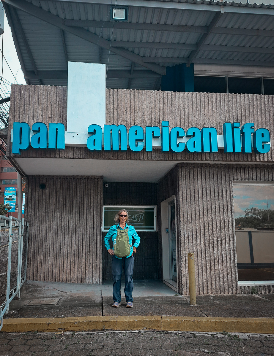
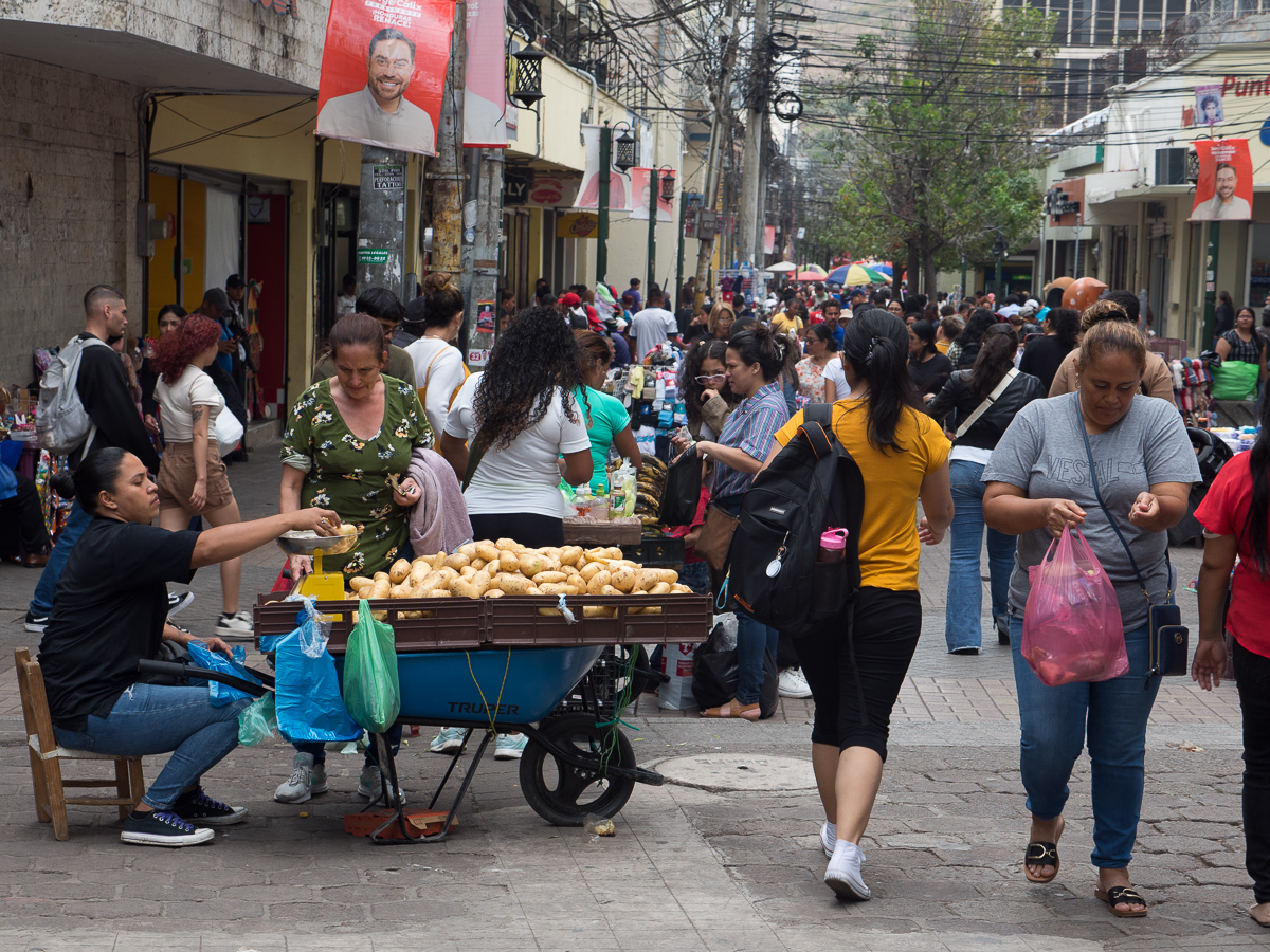
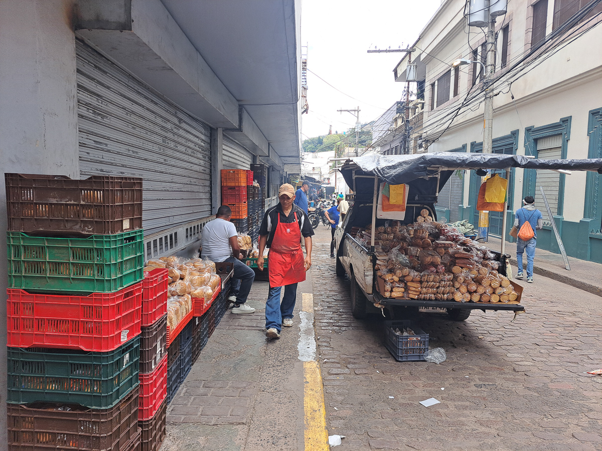
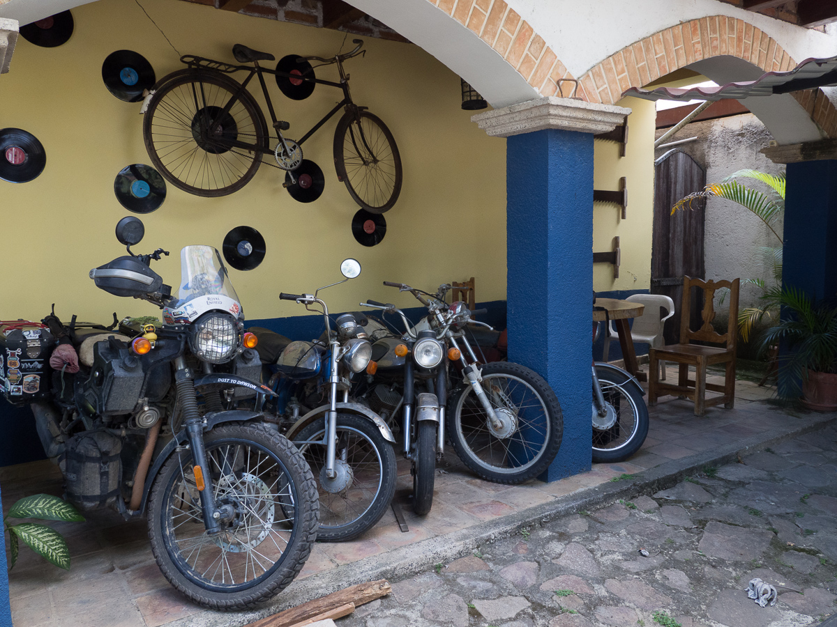
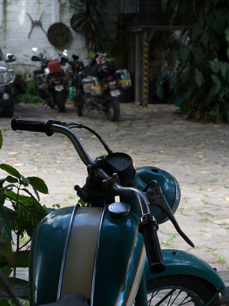
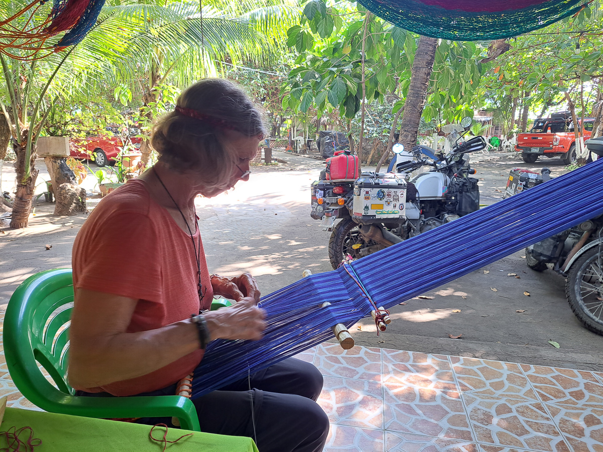
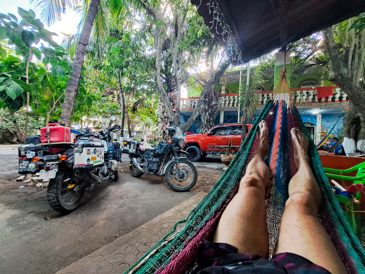
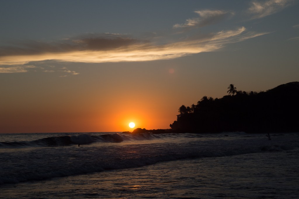


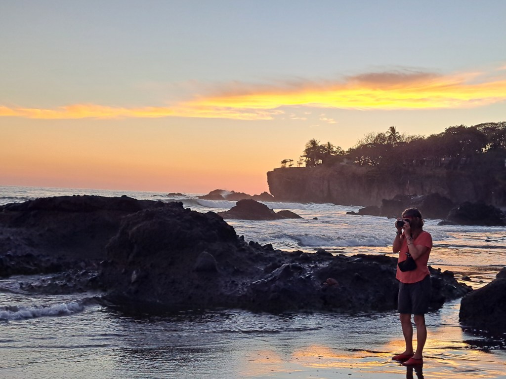
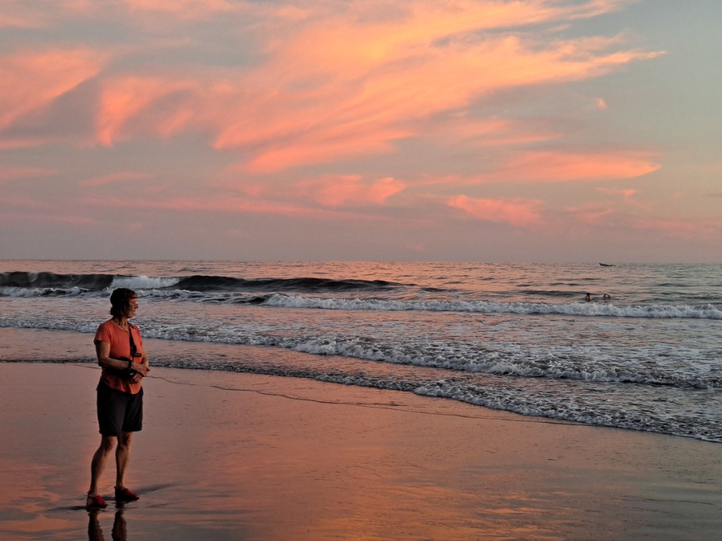
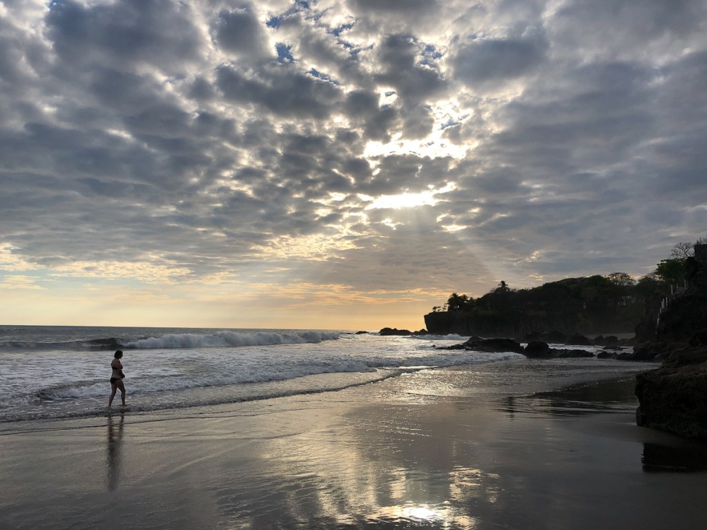
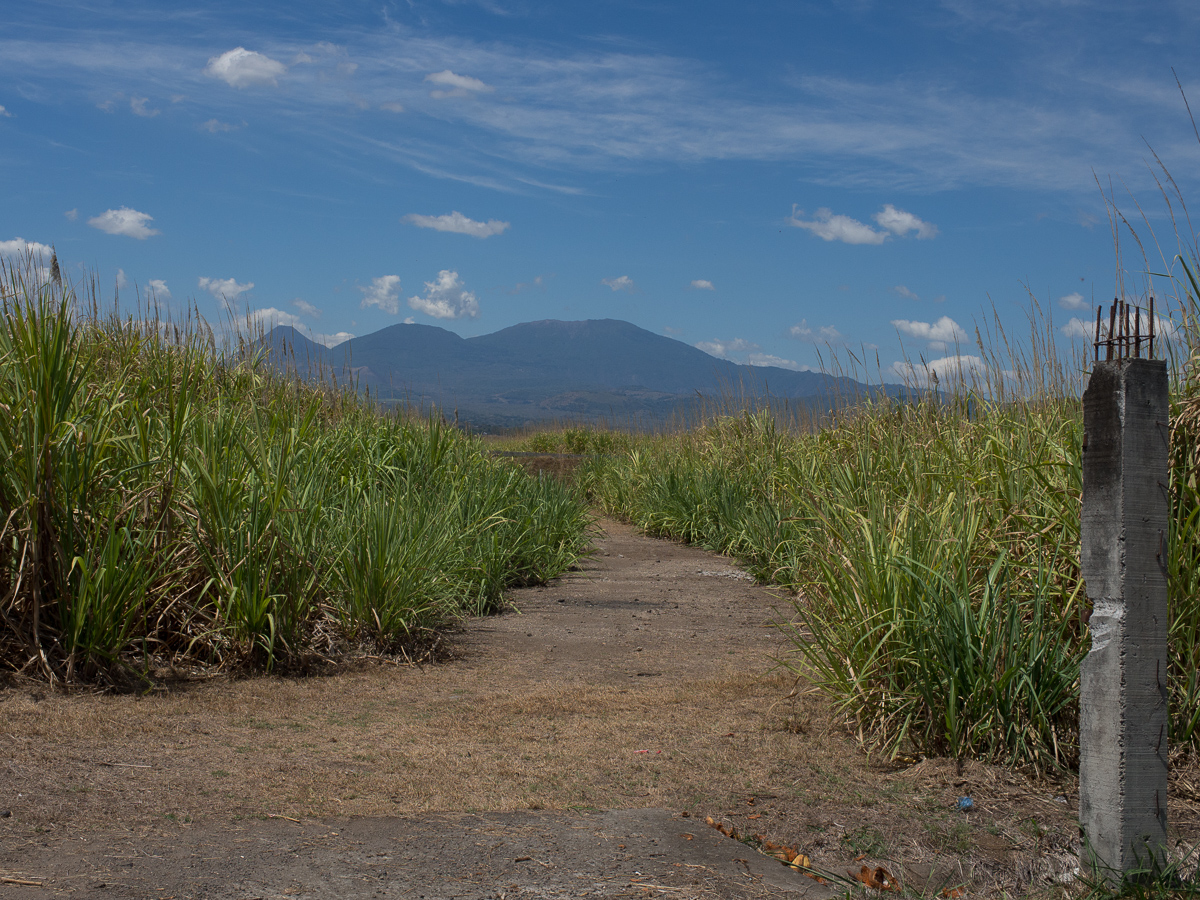
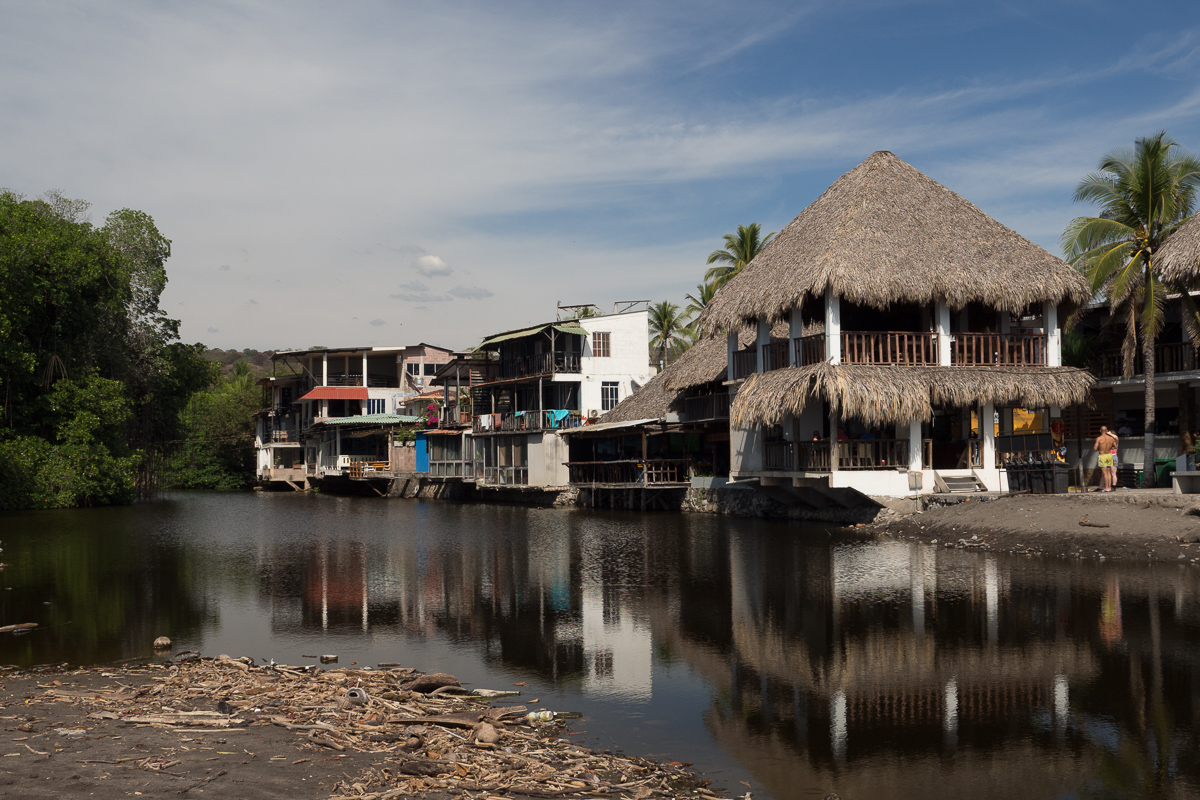
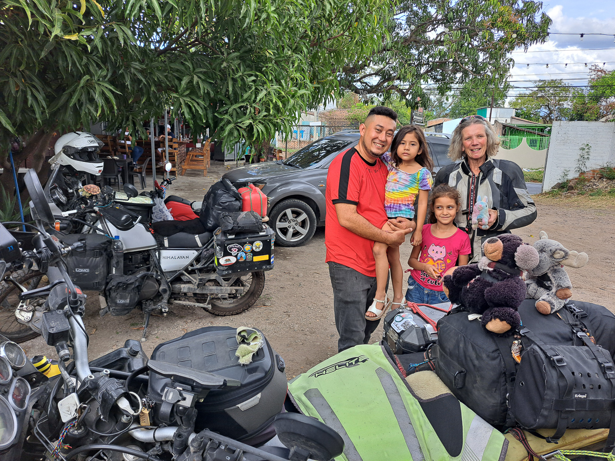
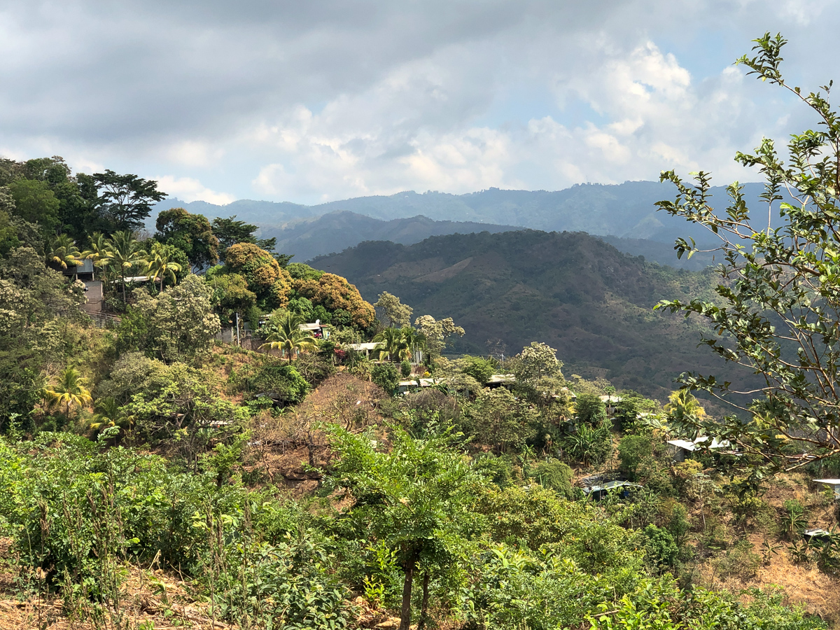
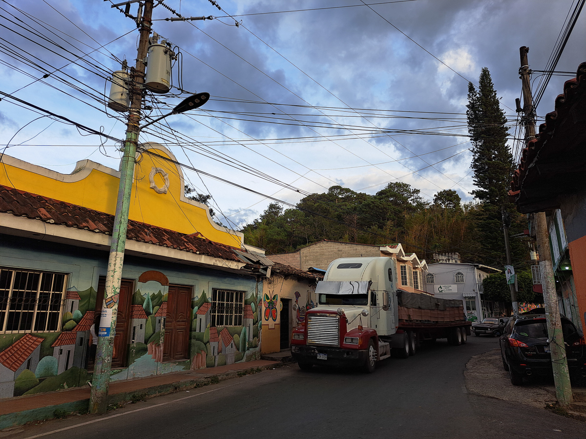
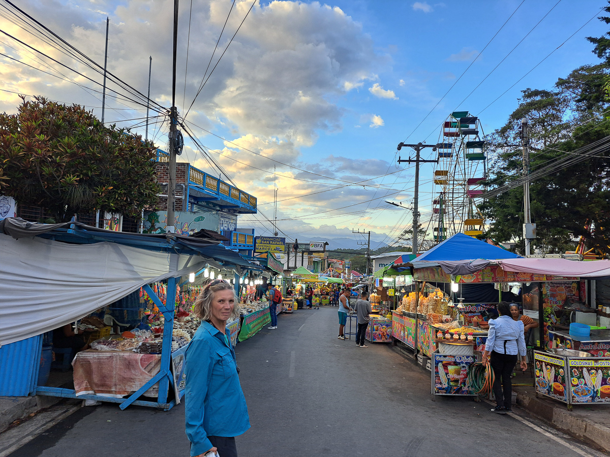
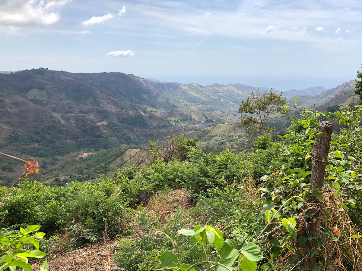
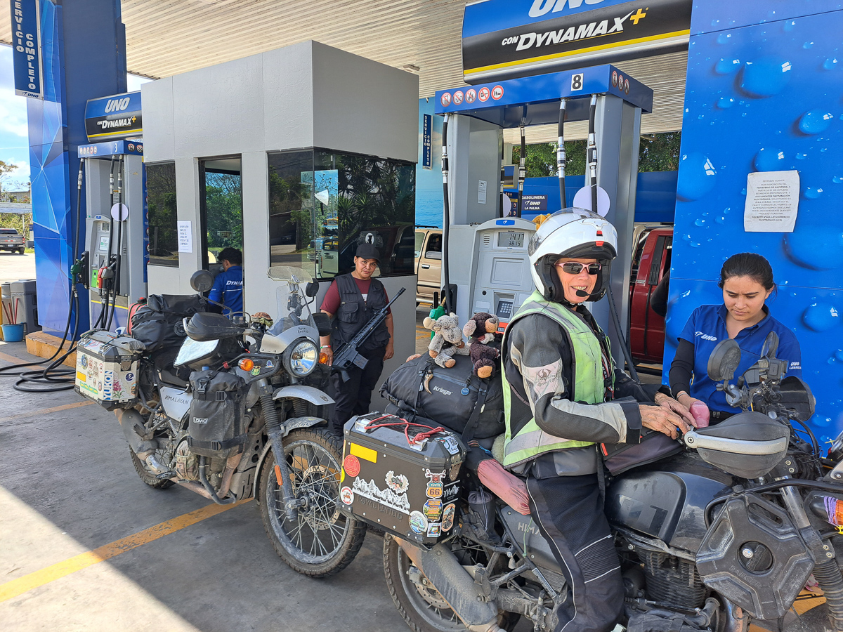
