Colombia to Ecuador

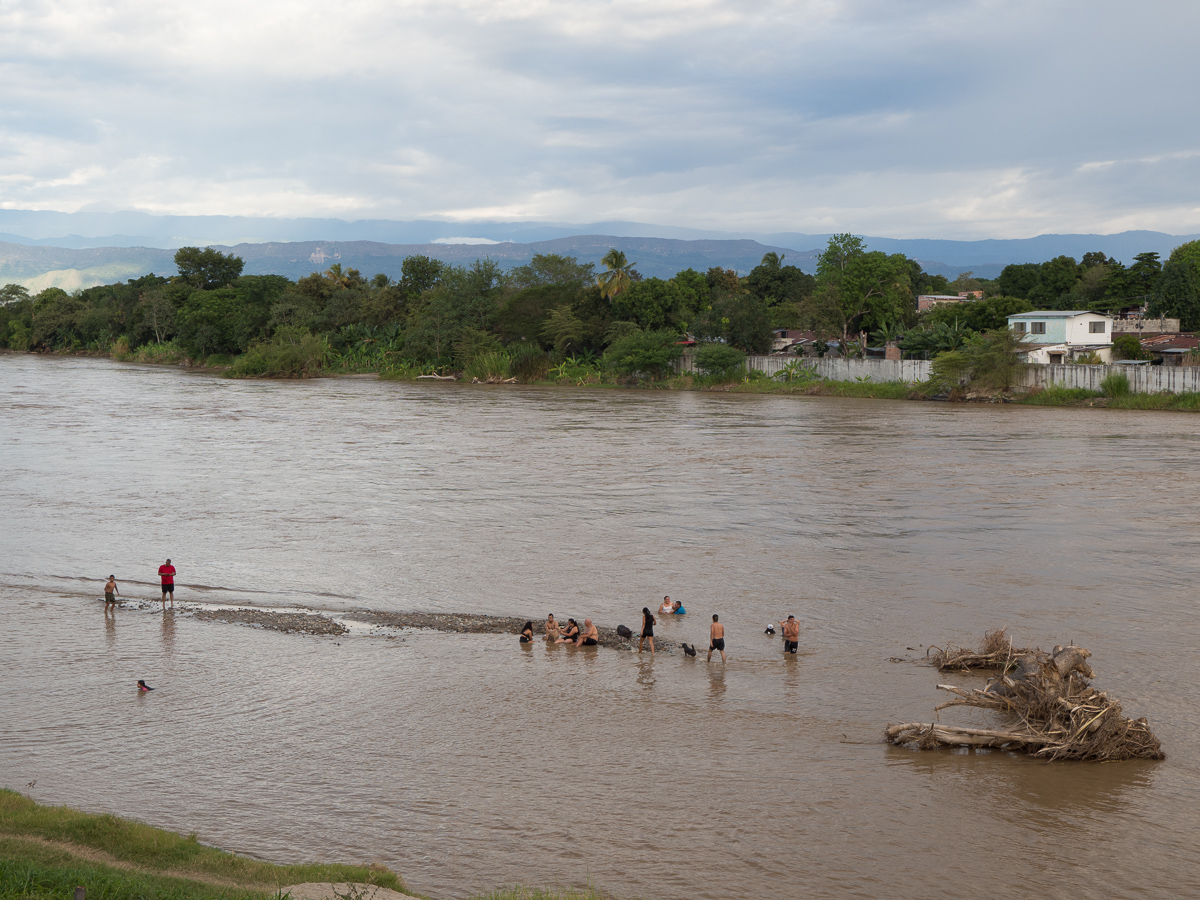
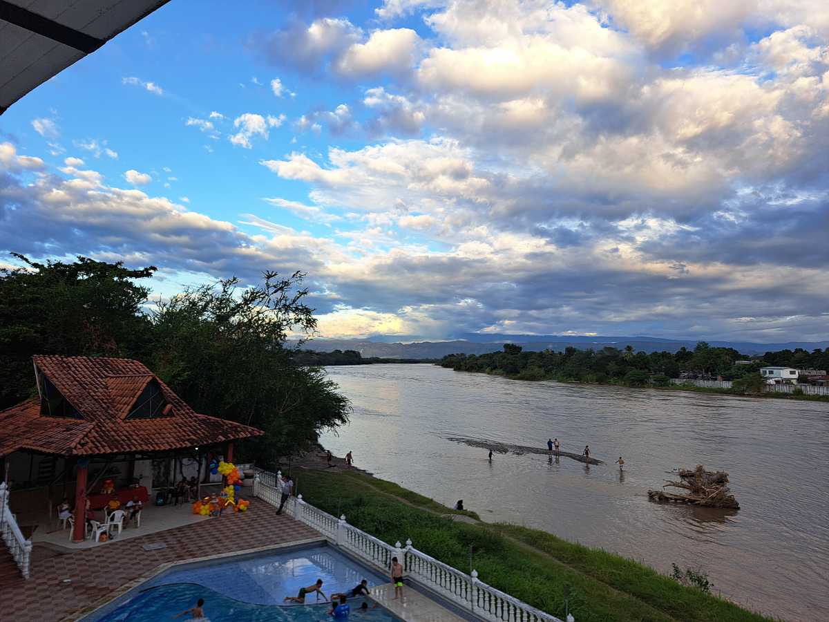
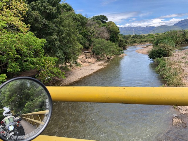
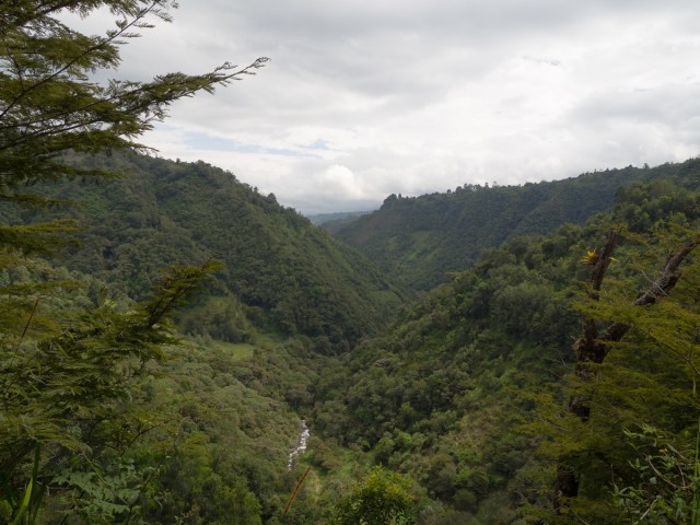
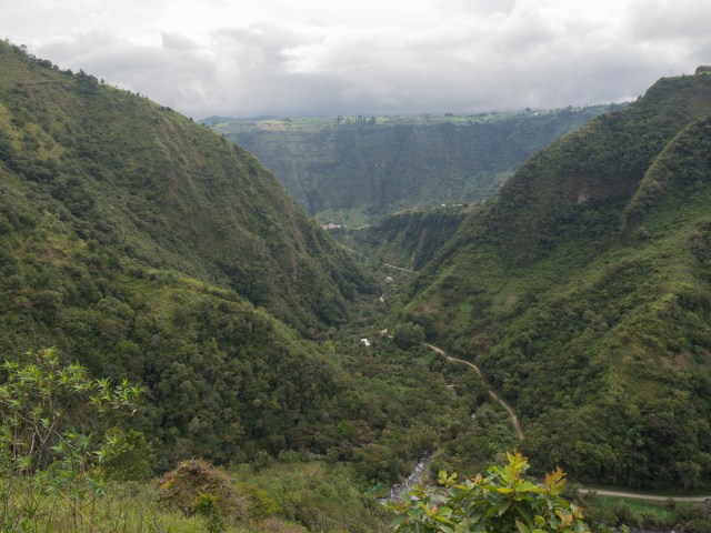
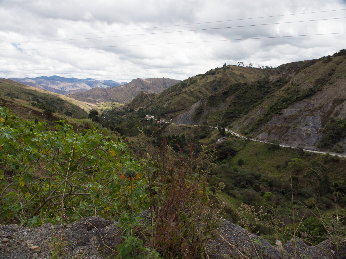
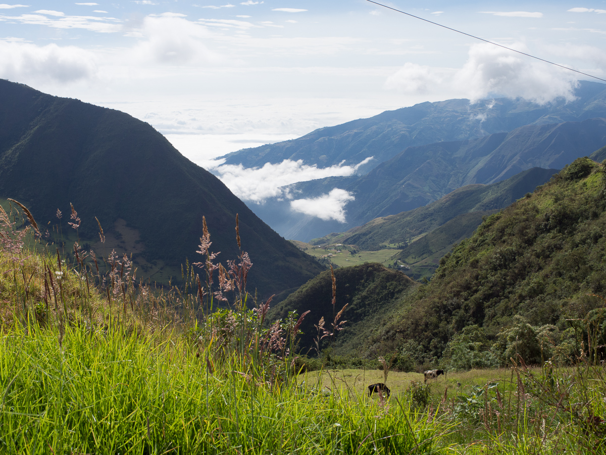
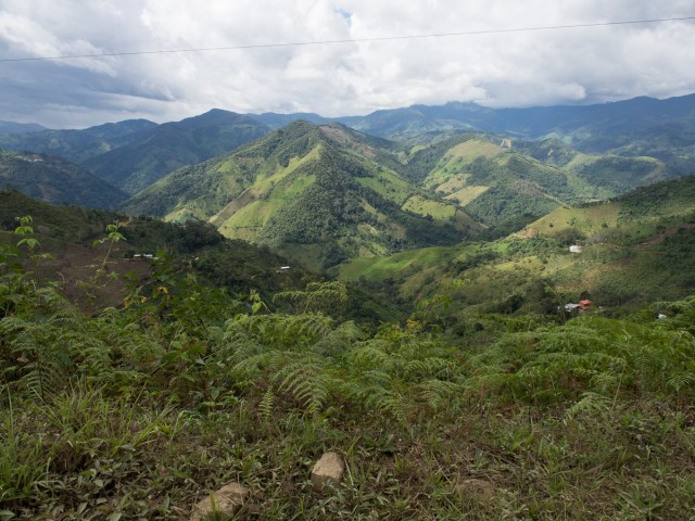
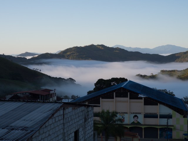
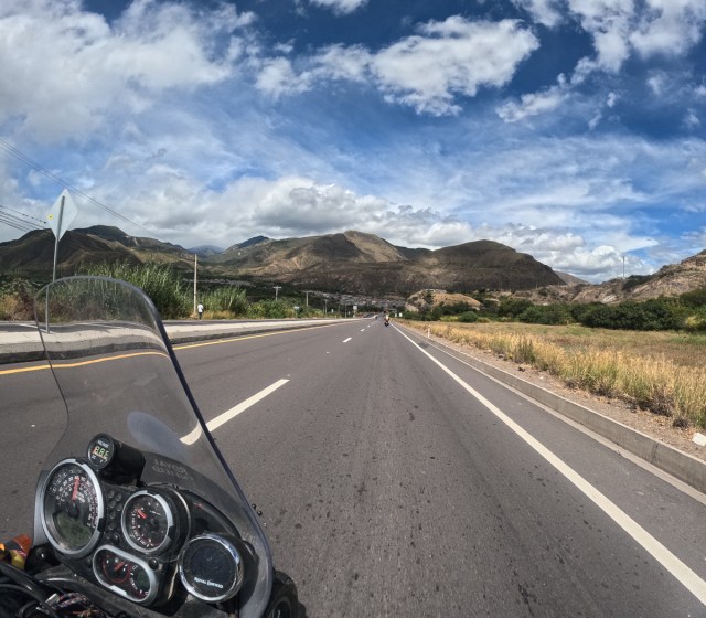
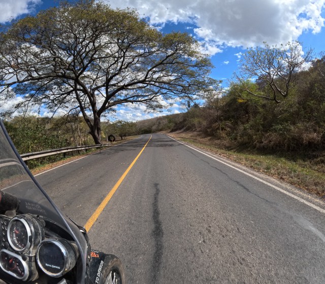
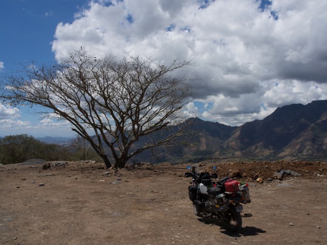
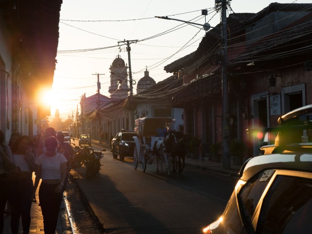
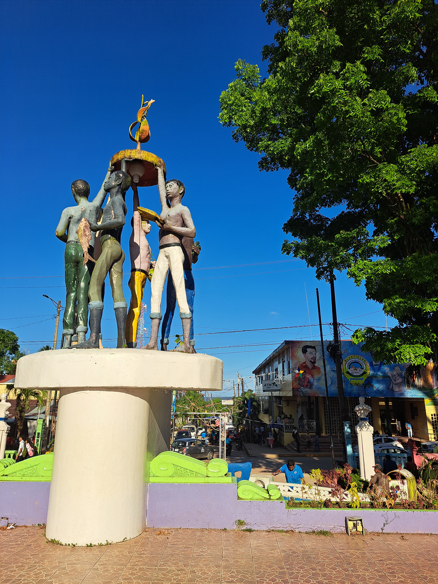
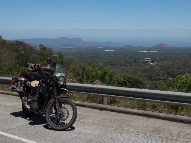
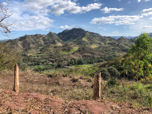
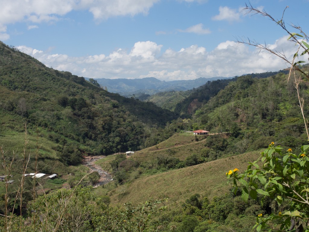
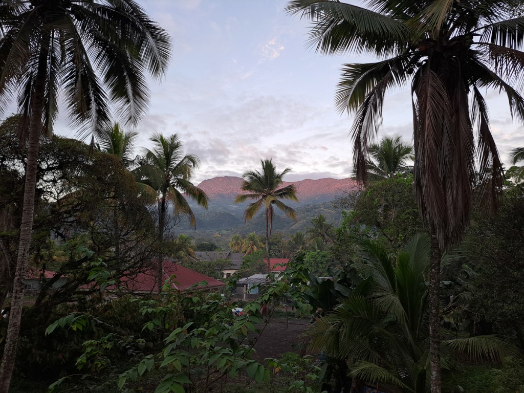
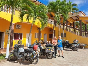
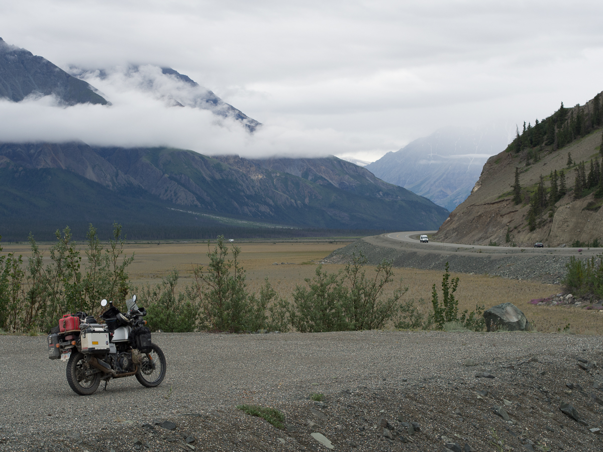
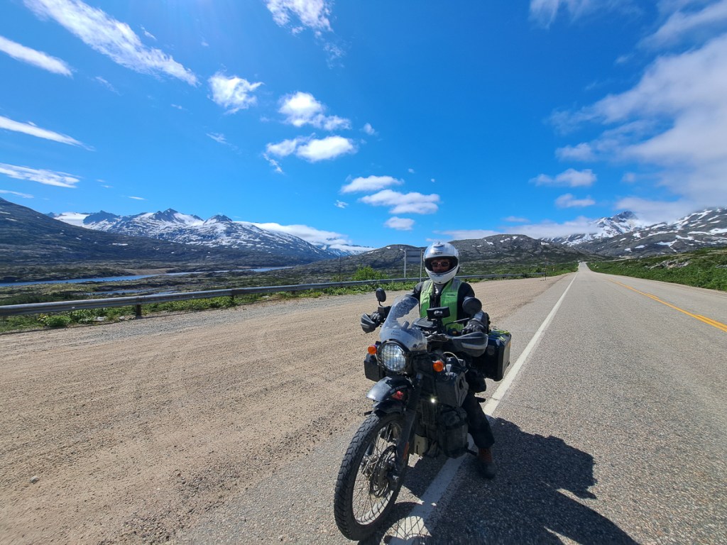
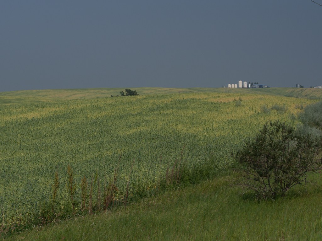
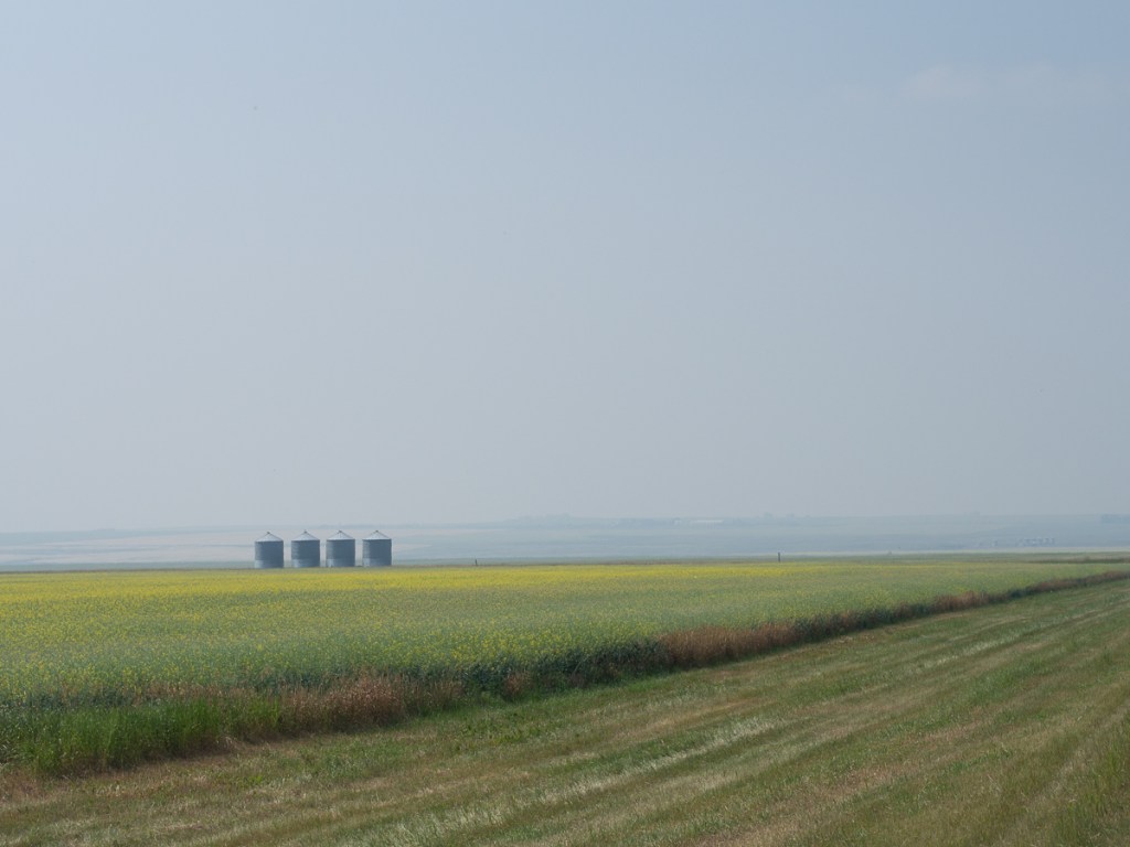
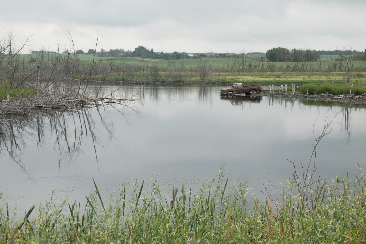
Sweeping back up and round seems to be our Colombian style. From Donkey Sunrise we headed back towards Bogota to cross the Cordillera Oriental (eastern mountain range) on our way down to Villaviejo to see the Tatacoa ’desert’.  We knew we wouldn’t make it in a day so stopped in Saldaña with beautiful views of the river.

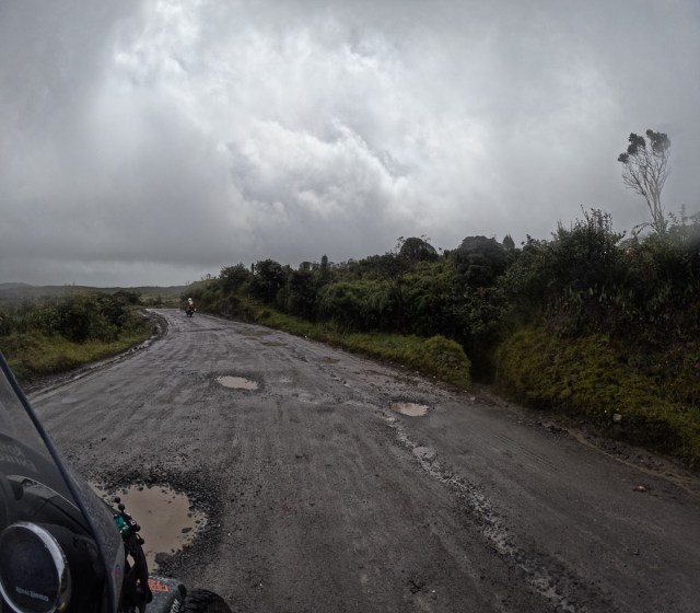
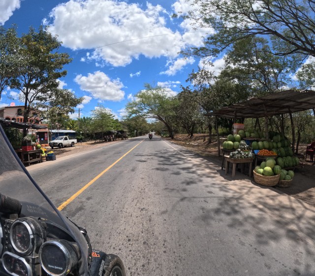
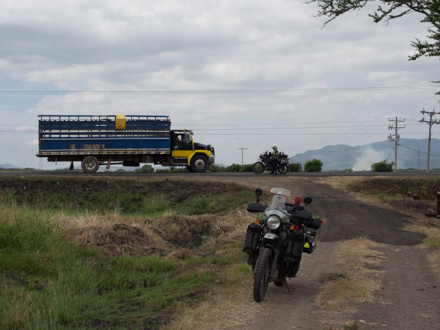
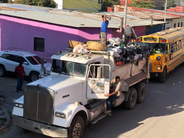
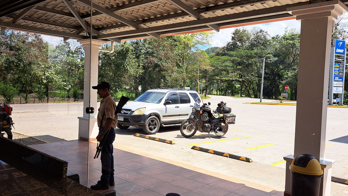
Setting off to complete our route to Villaviejo proved interesting as the hotelier was telling us the road was blocked. ‘The rice growers are protesting and have blocked the road,’ he said.  We still had a fair way to go so thought we’d set off and see how far we could get.  He hung around looking at his phone and strolled over to show us that it was possible to get through using the back roads but still didn’t mention, or we didn’t understand, that the road was blocked immediately – barely three hundred metres away.  We set off crossed the bridge and there it was.  Tractors and lorries blocking the road!

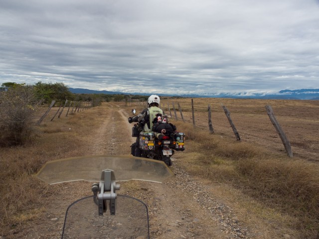
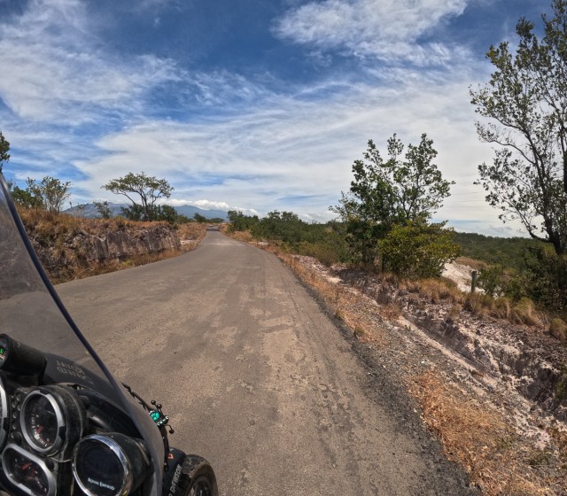
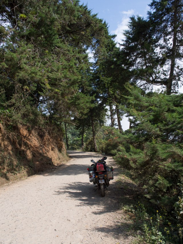
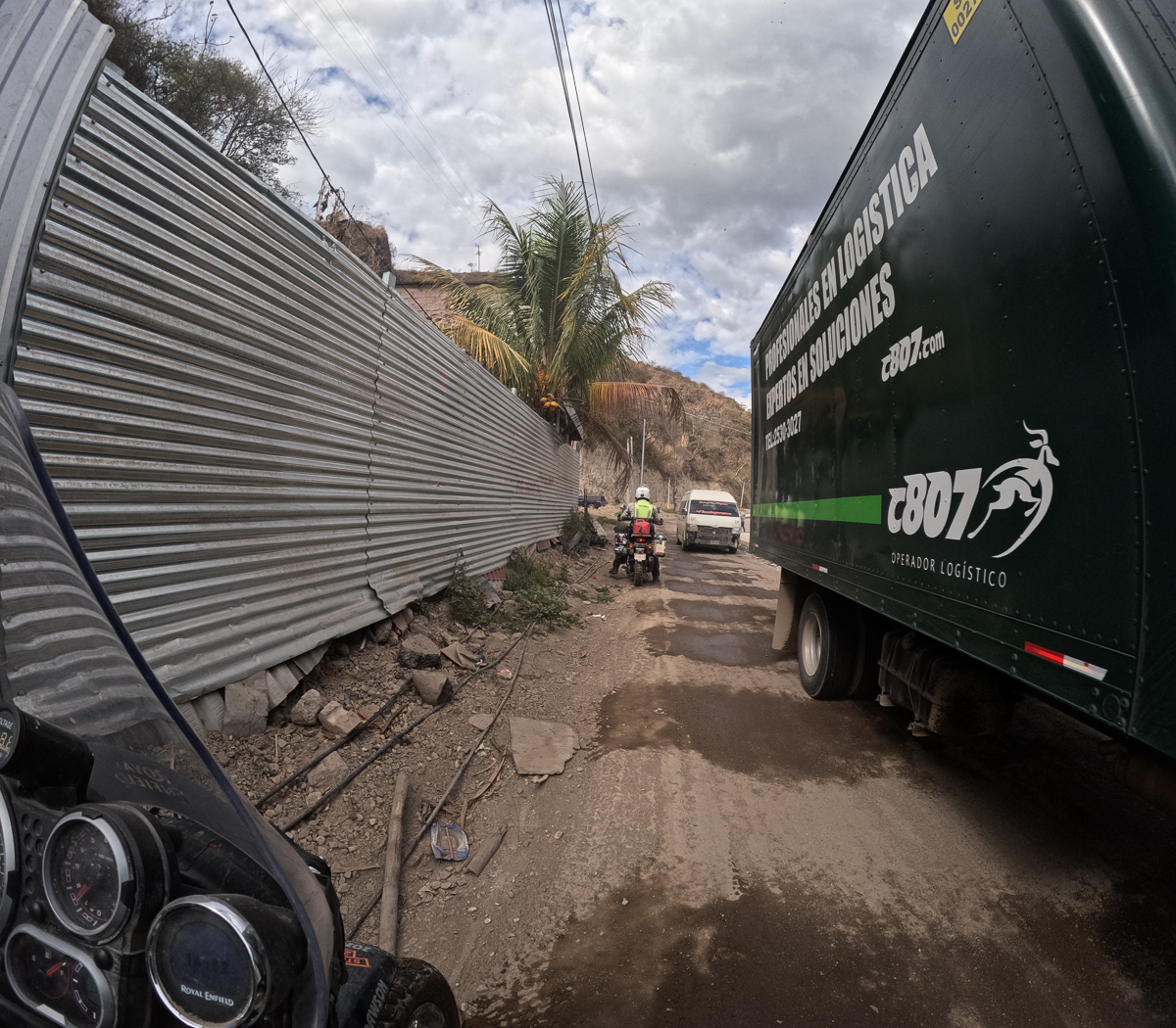
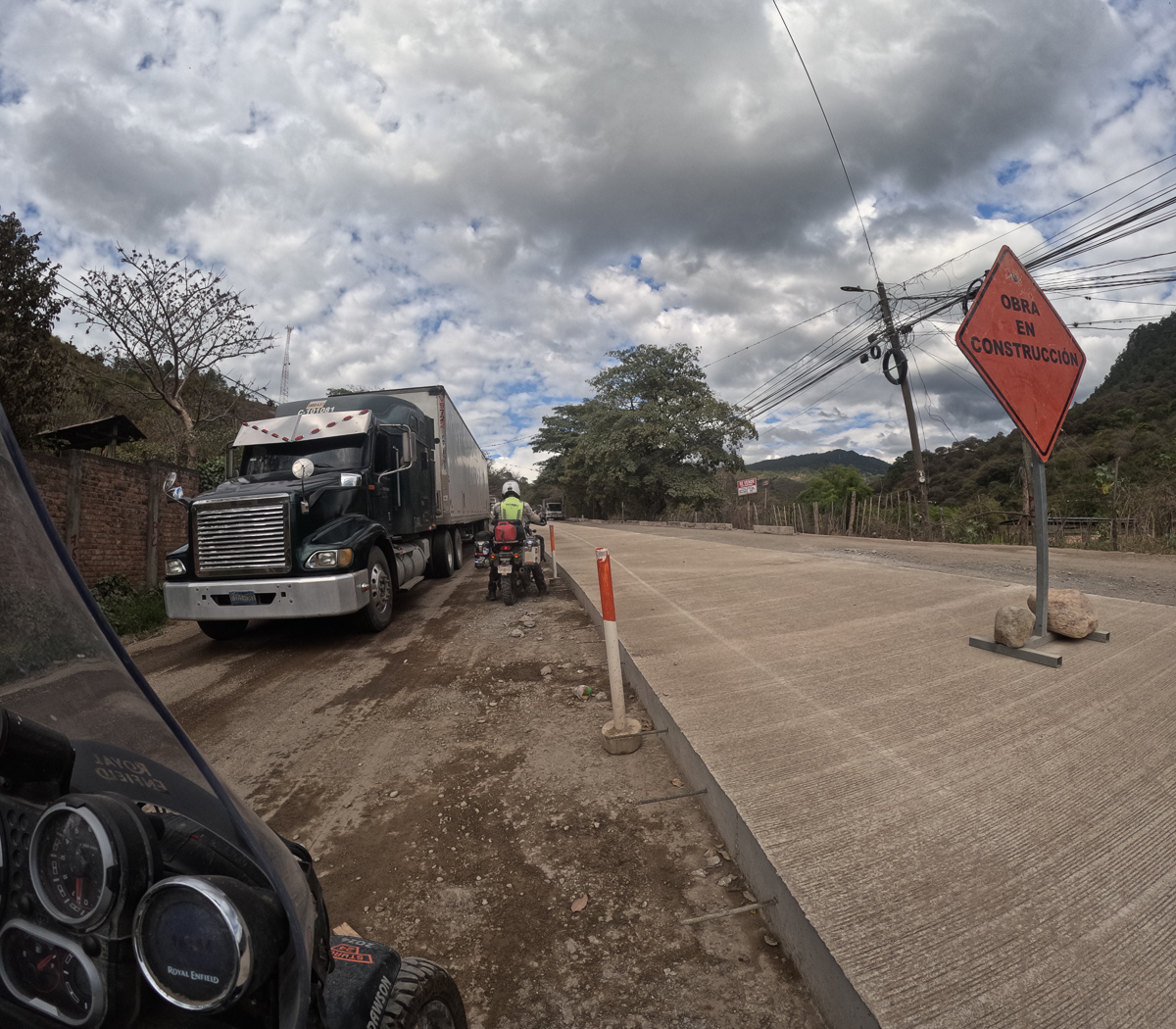
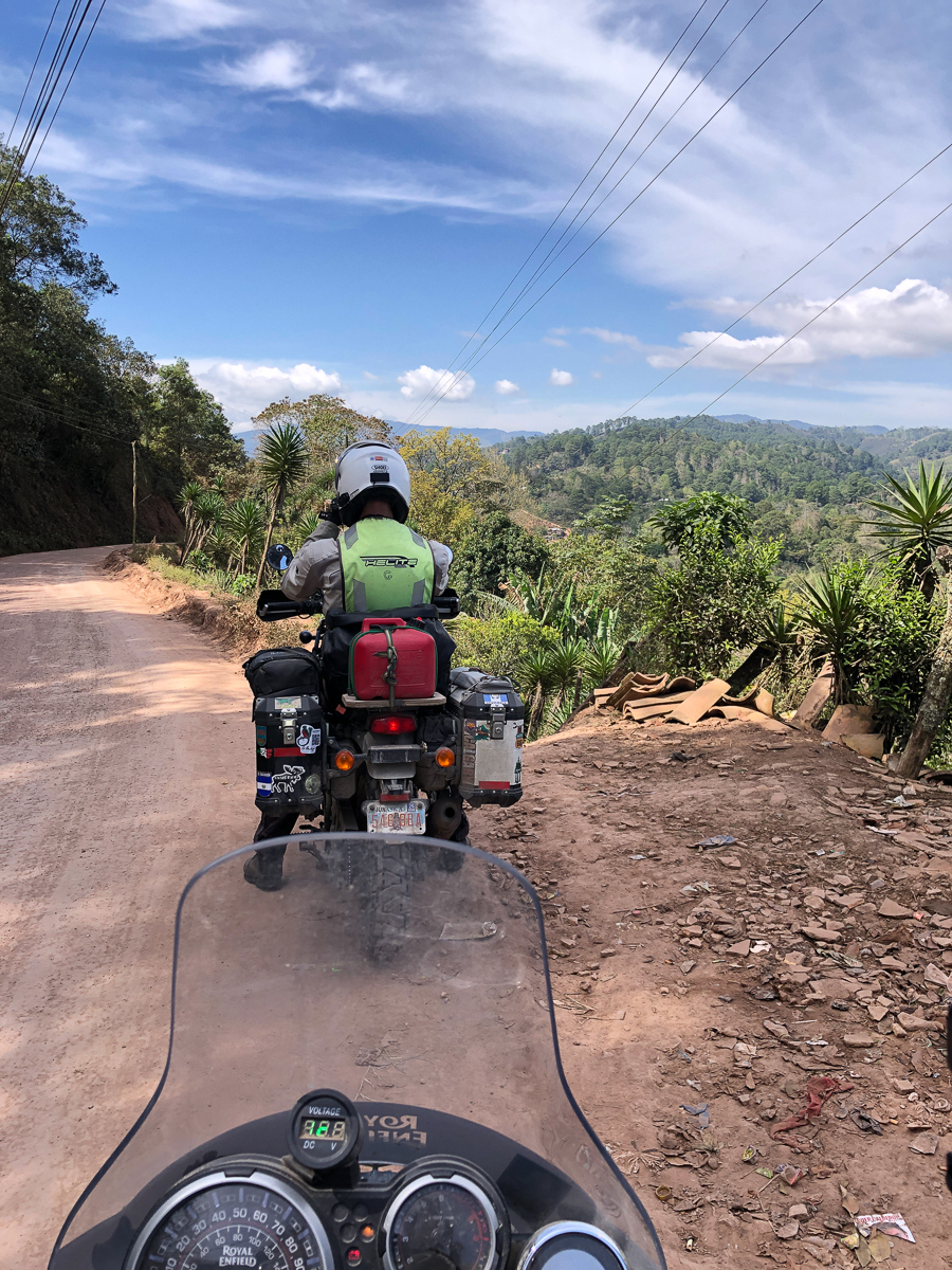
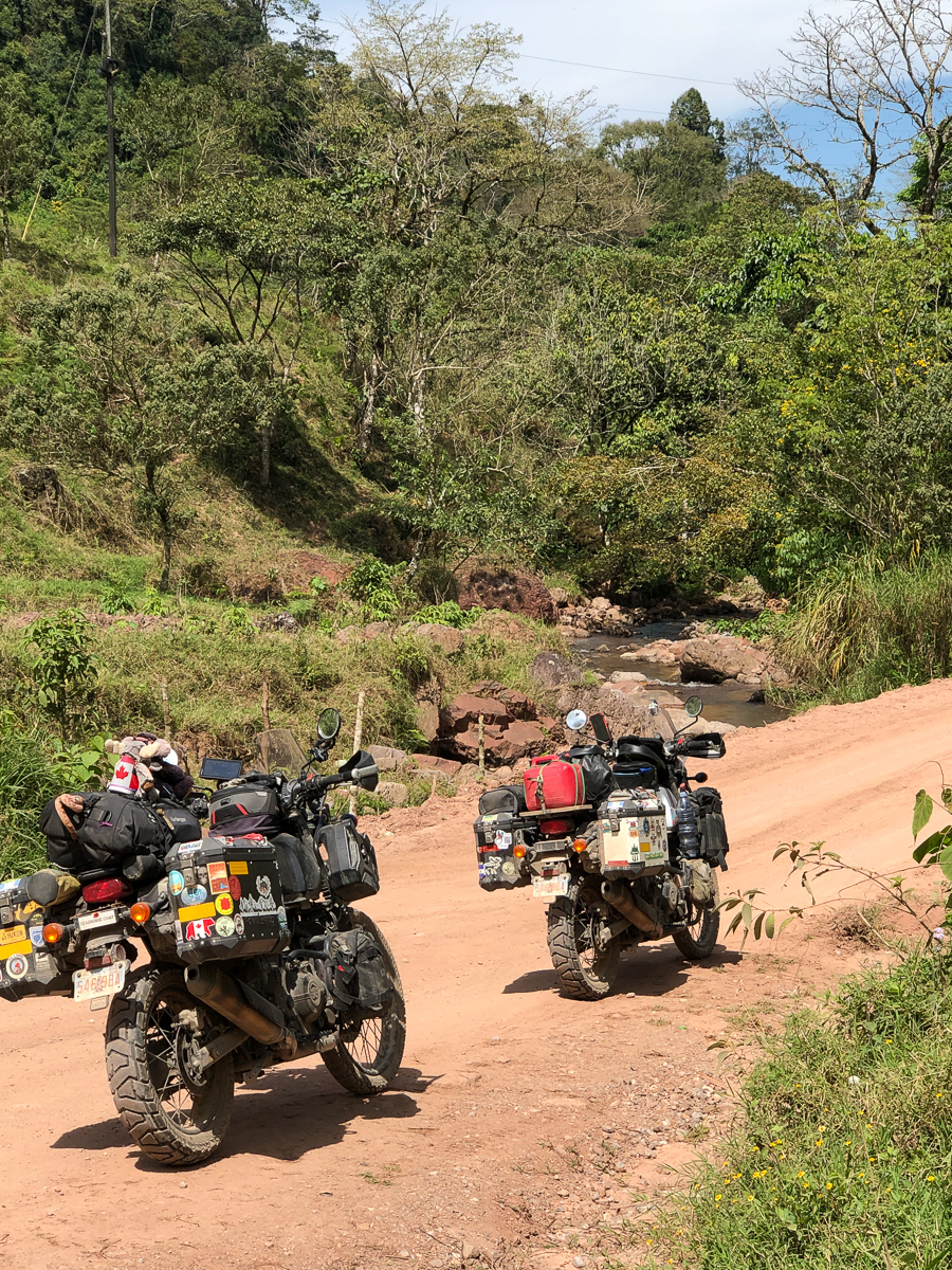
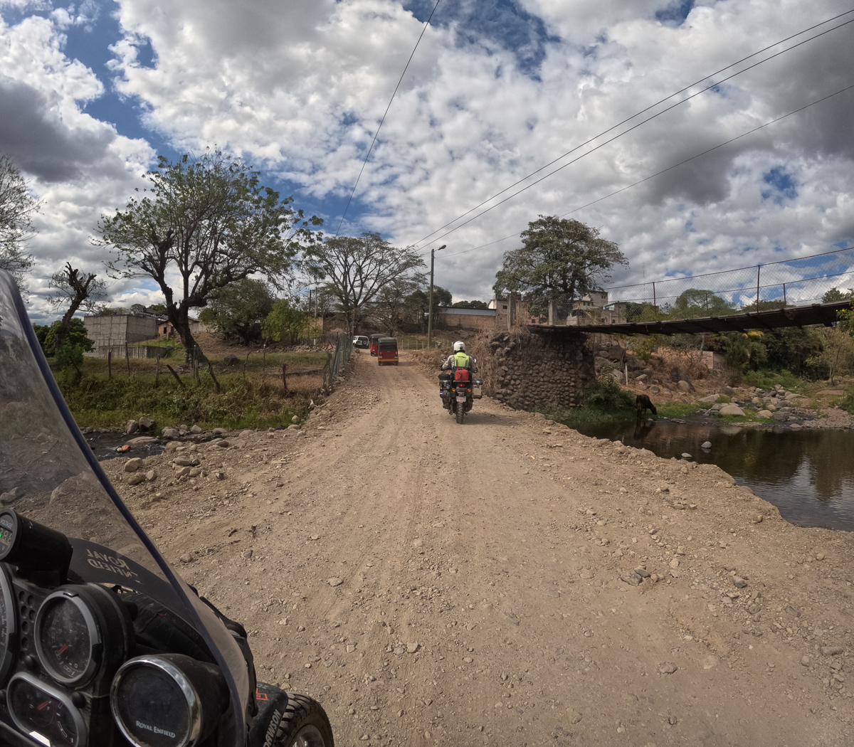
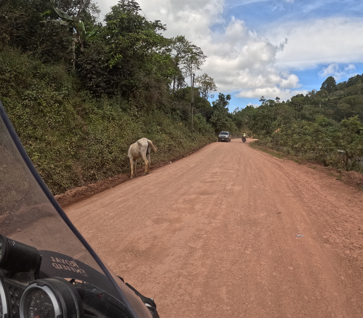
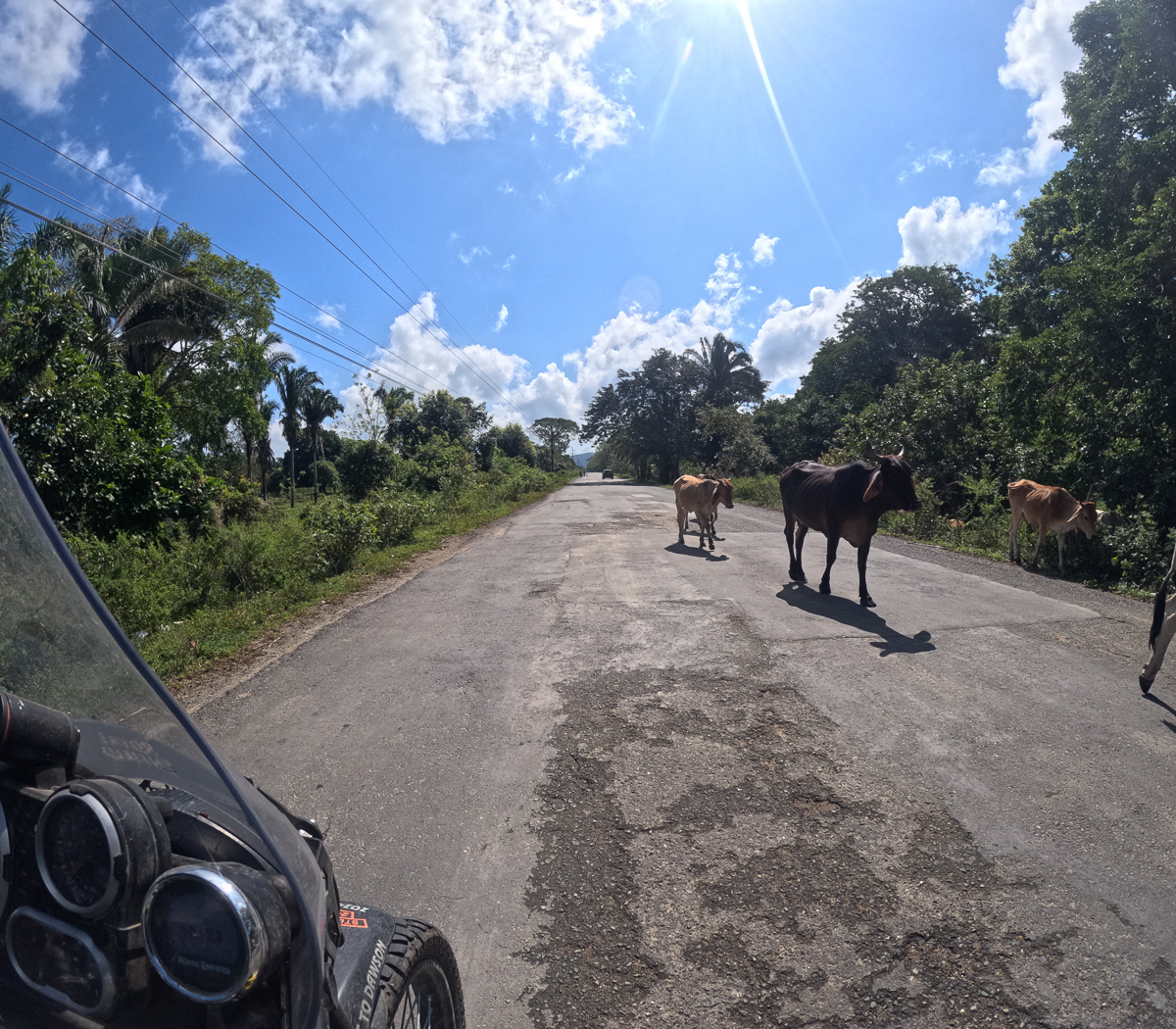
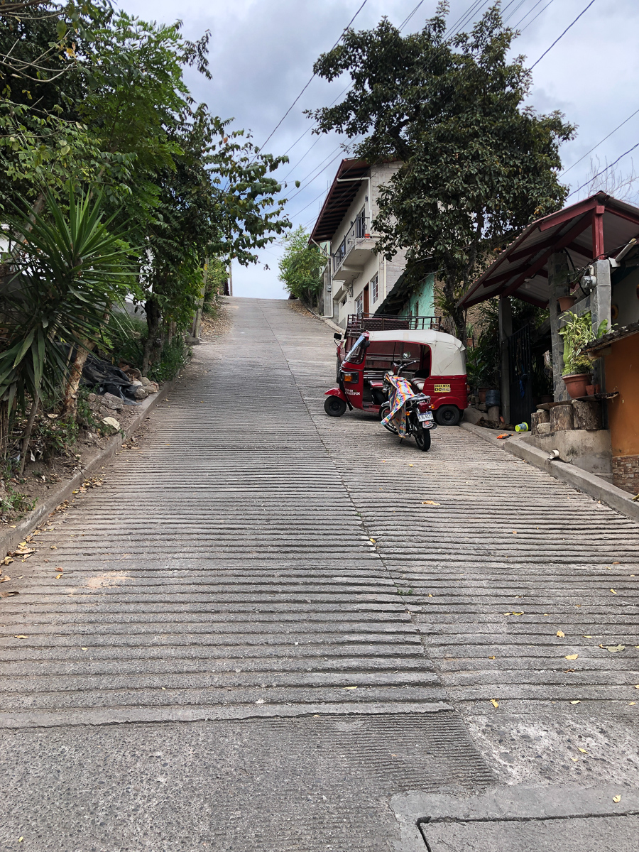
We snuck behind the lorry parked to our right and thought we’d cracked it as we were following a few other vehicles.  The tarmac soon gave way to dirt but it wasn’t a bad road.  After a few miles an approaching moto was talking to each driver.  He told us we could take the next left.  ‘Motos could get through but not four wheels,’ he said.  The lane was a little sandy in places but ahead of one stationary truck we could see a few vehicles passing on the highway.  All looked good.  Approaching the end we started to notice something strange in front of the parked truck. Tractors had dumped a whole pile of mud over a metre high blocking the entire width of the road. One end was smoother where light bikes had nipped over and gone.  Us, on our Hims, nearing 300kg weren’t going to nip over the loose dirt as demonstrated by a local, skinny old man on his 90cc step-through.

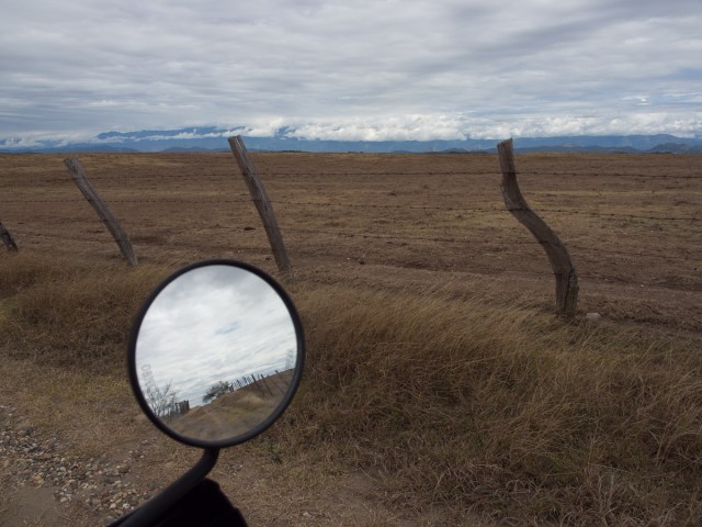
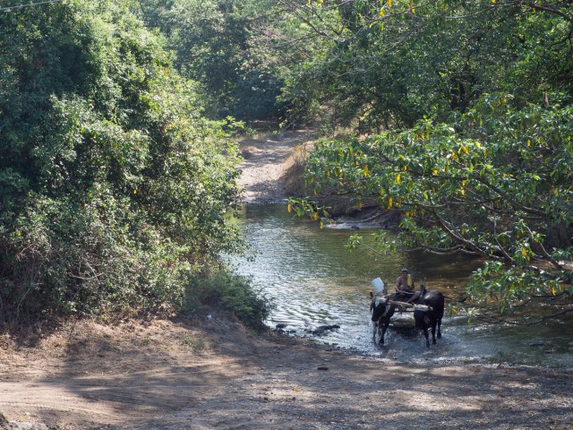
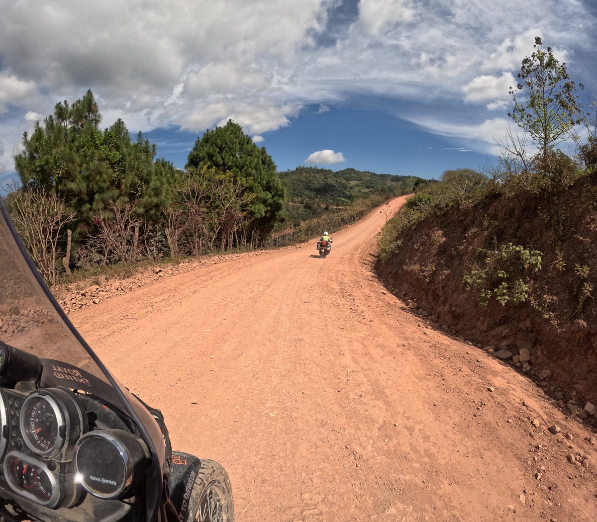
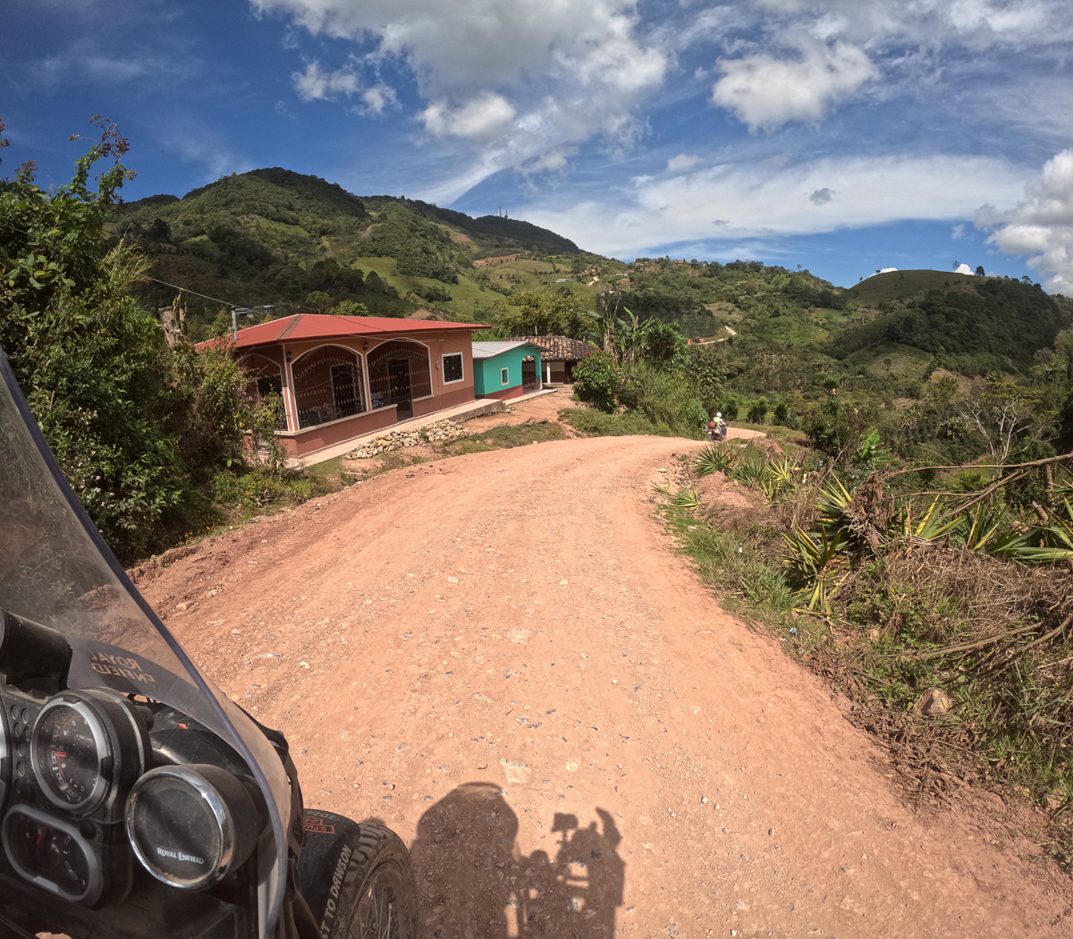
We turned back and set off again. This time heading off on a more remote track breaking away from the bigger dirt road.  It was stony, rutted in places – a farmers track with beautiful views which crossed a stream and did, according to the SatNav, seem to make it back to the highway.  None of the other wiggle-arounders seemed to share our route, but it was on our GPS as – something.  Surely no one would bother to block this?  One hour later having covered 8km we were speeding along the highway again.

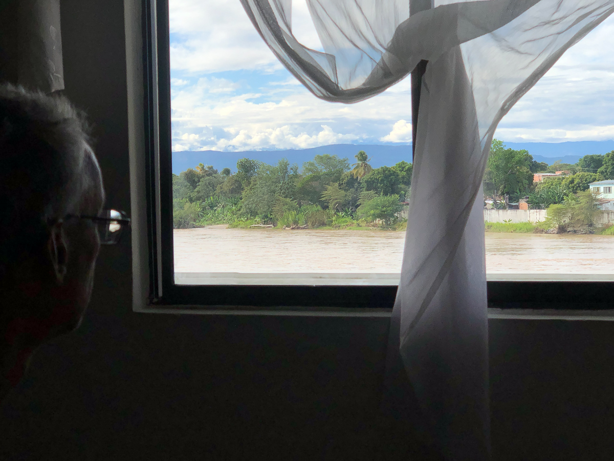
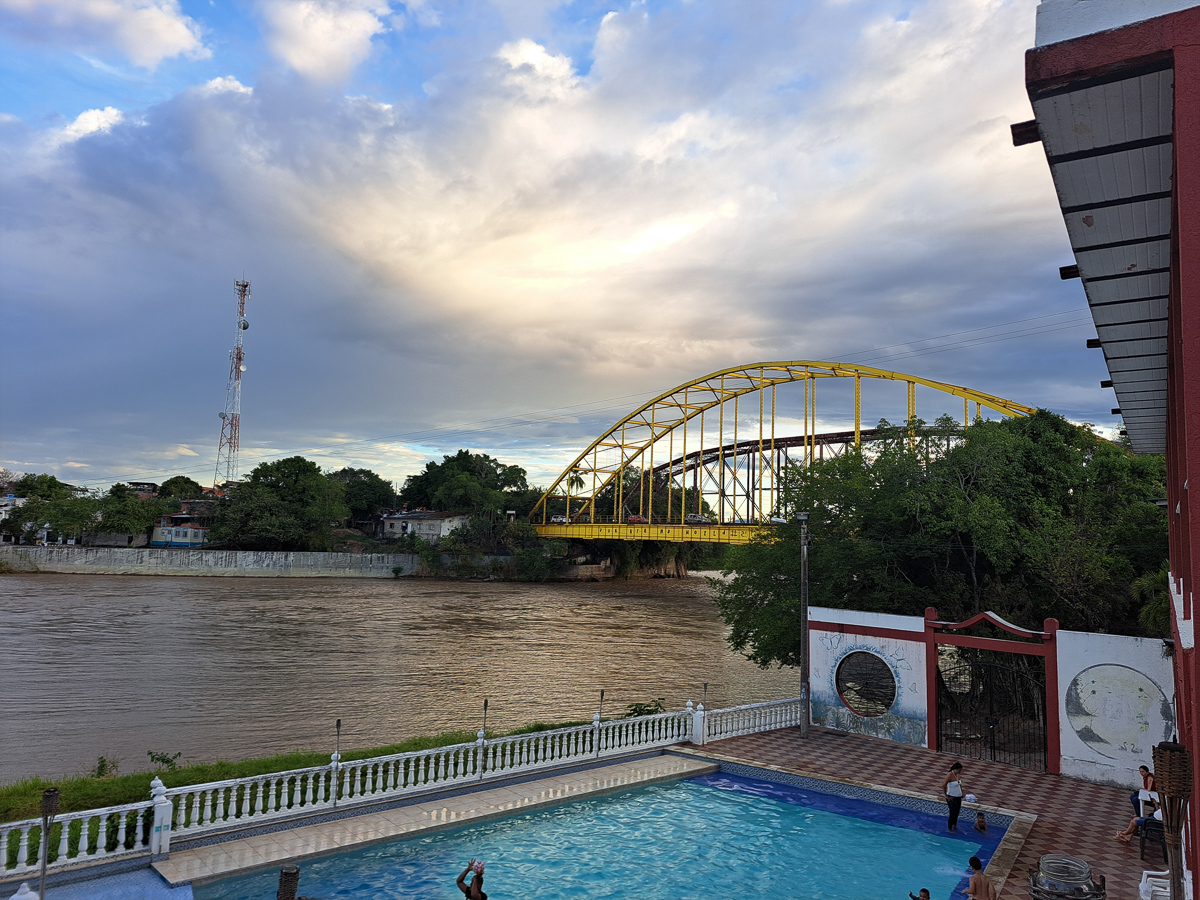
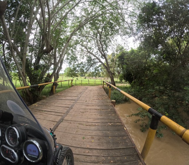
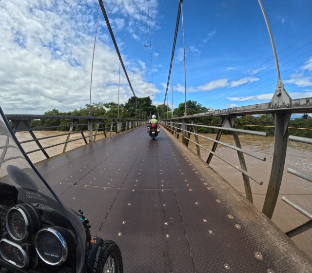
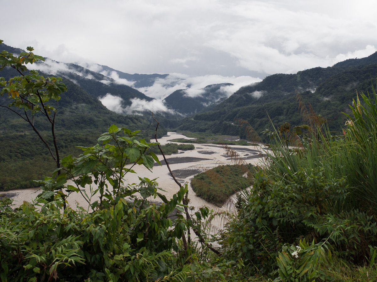
Our loss of time didn’t matter as our destination wasn’t too far away and we could cut off a chunk by taking the ferry across the river.  We found our way through the town and down towards the river Magdalena.  A big fast flowing river which unbeknownst to us was in spate. The water was swelling up over the nearby fields and flooded the route down to the moto ferry.  A visible but distant local signalled with crossed forearms that the ferry was cancelled.  Try the car ferry that’s back up the road a bit another local suggested.  That was also out of action.  A long loop to a bridge at Nieve then.  An hour and a half later we arrived at our destination, Villaviejo.

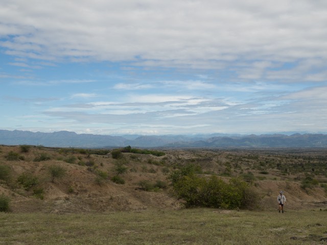
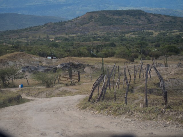
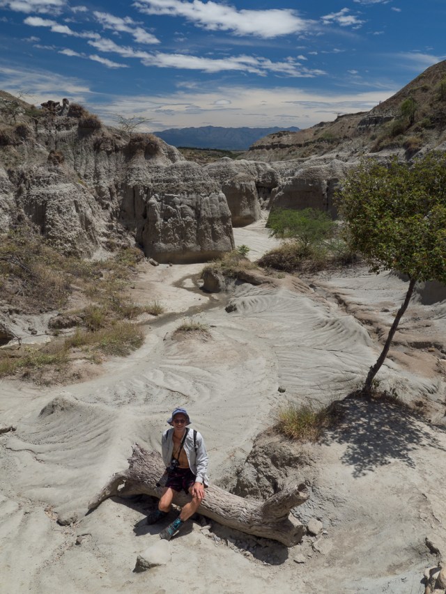
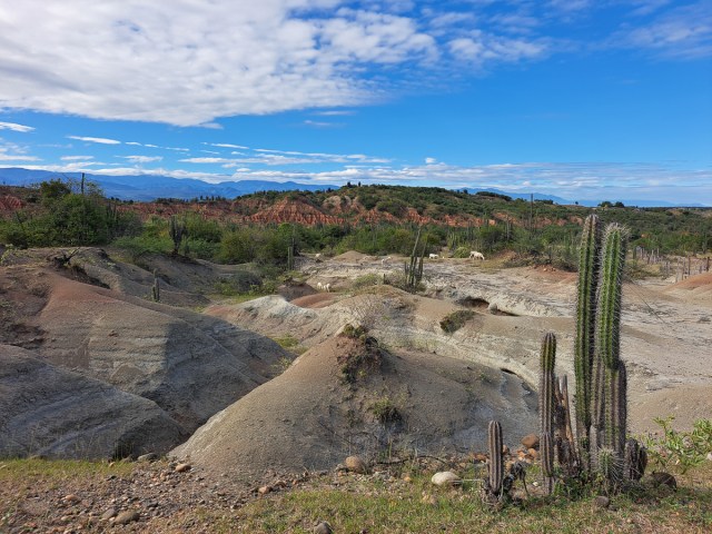
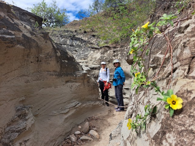
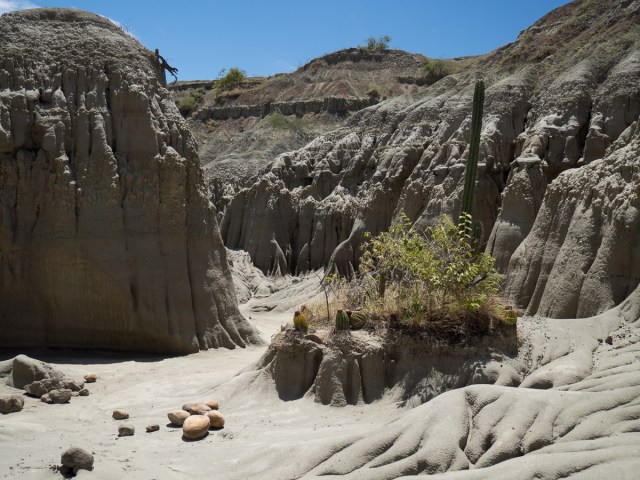
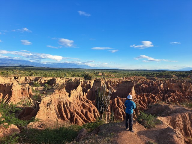
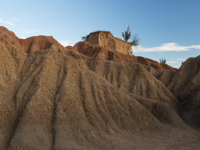
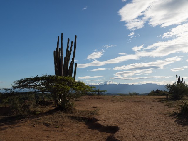
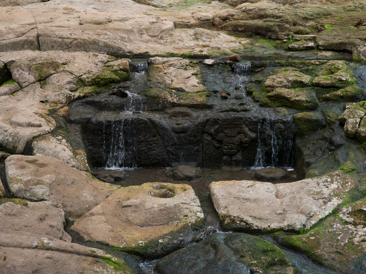
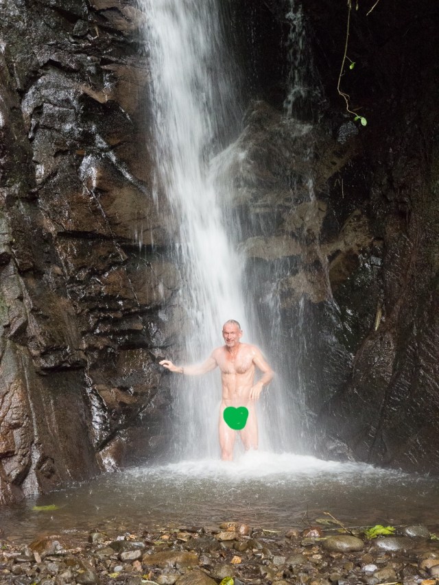
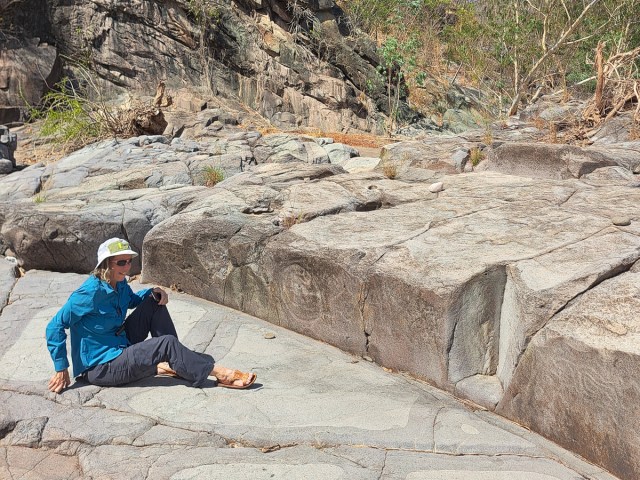
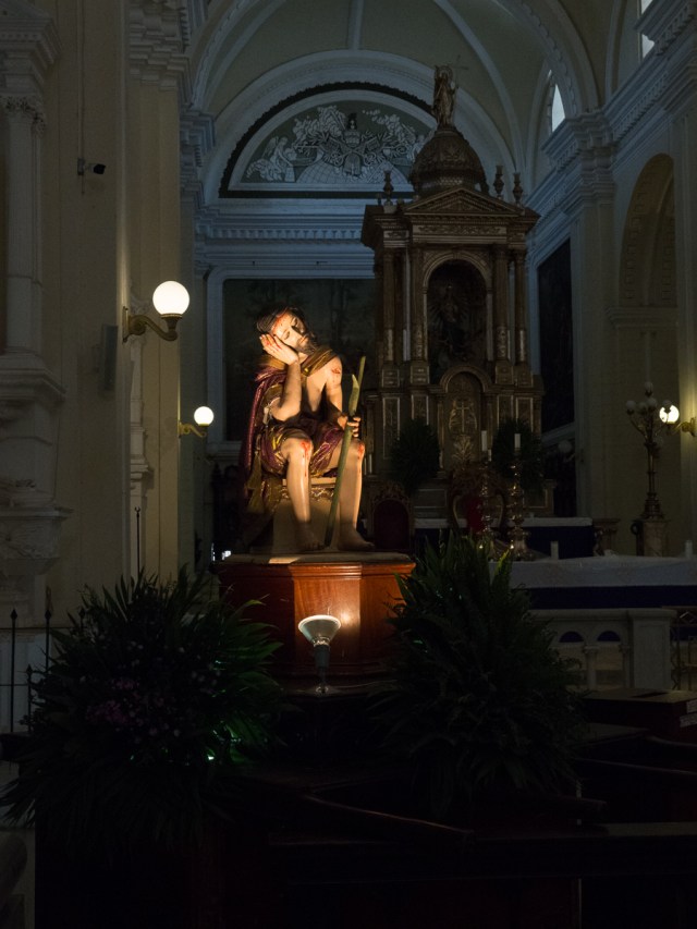
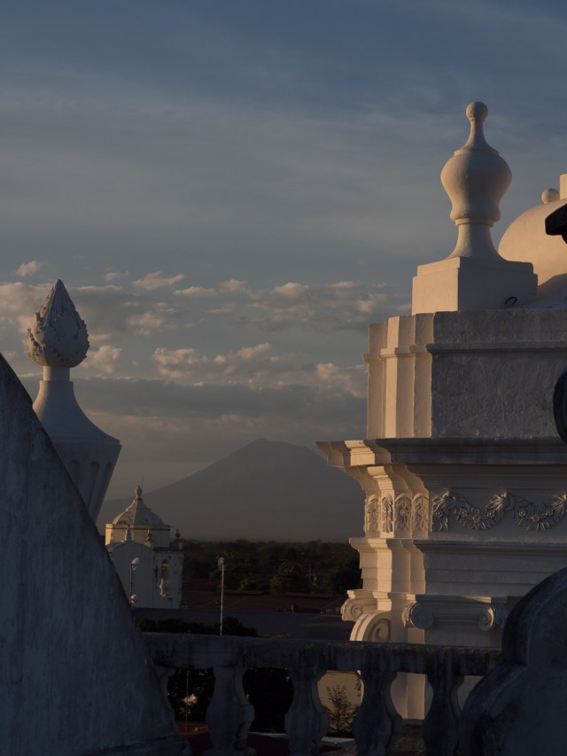
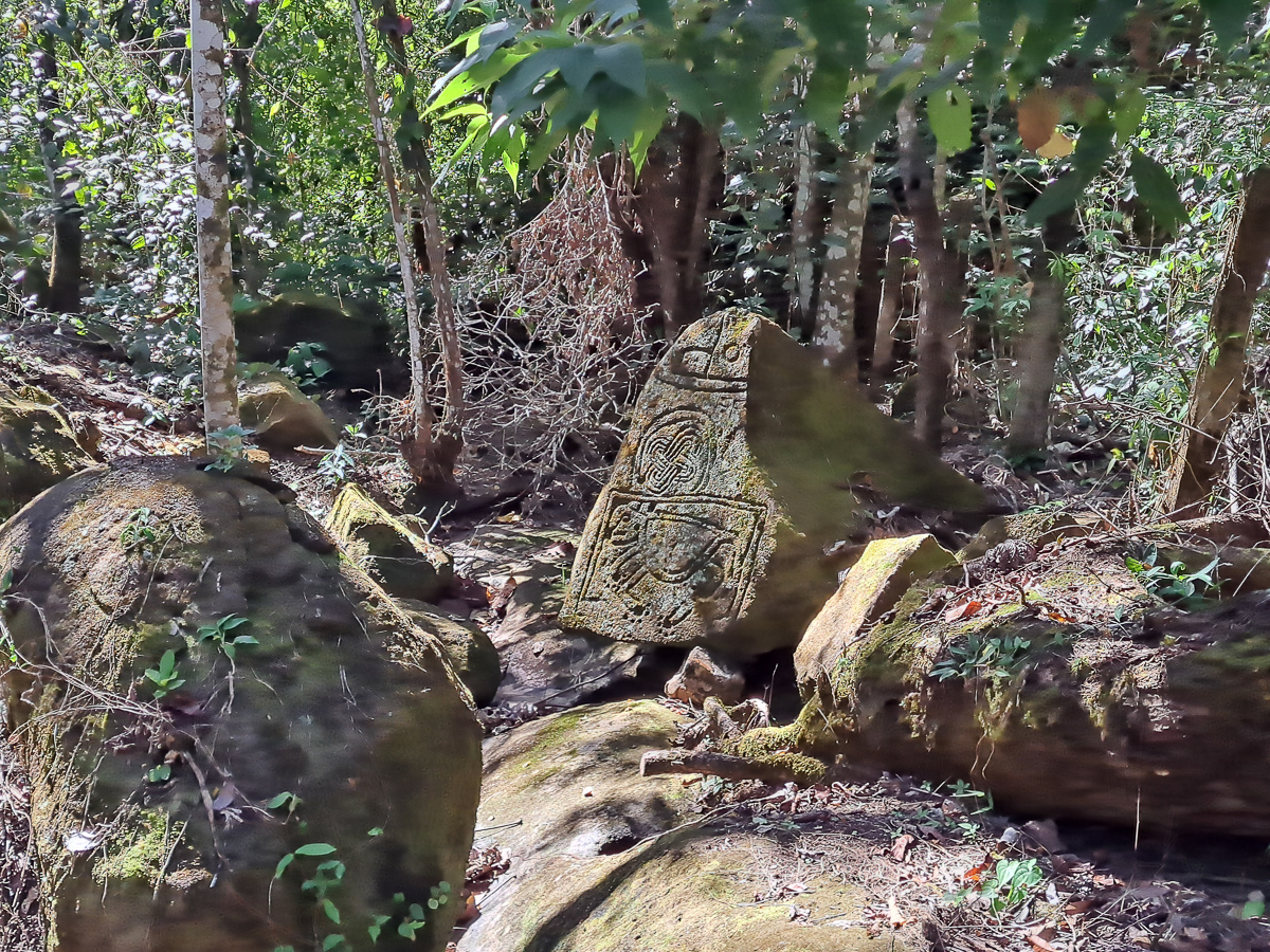
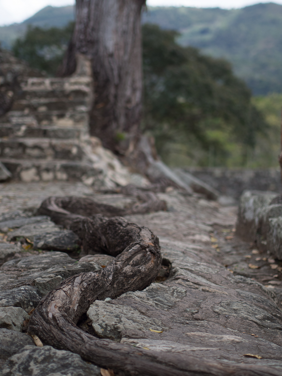
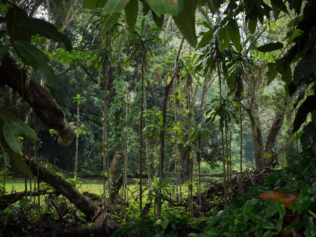
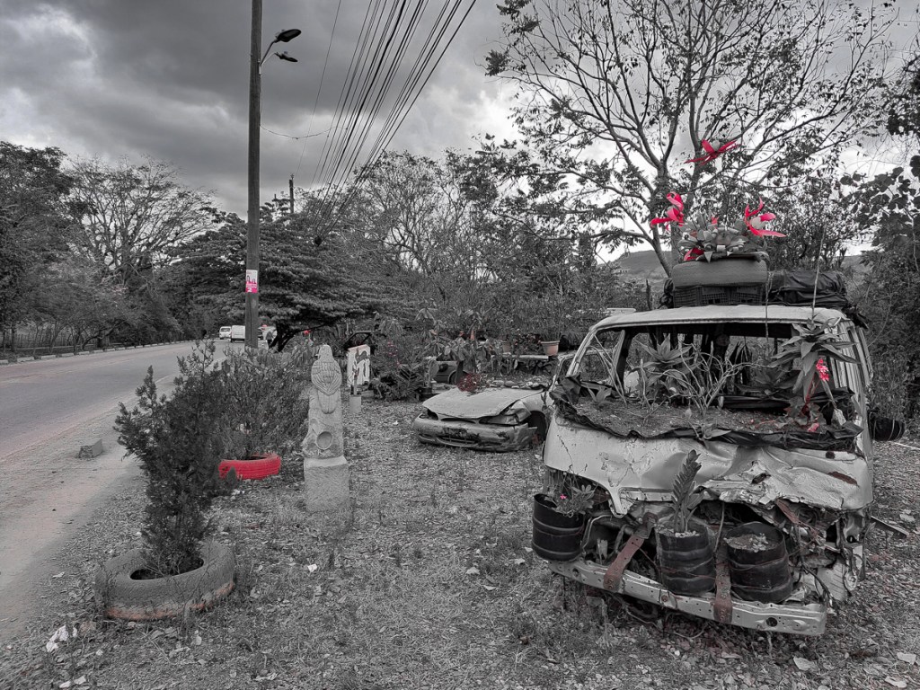
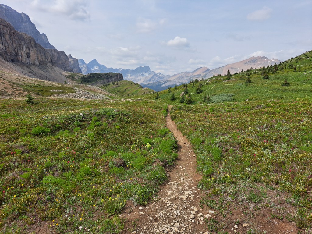
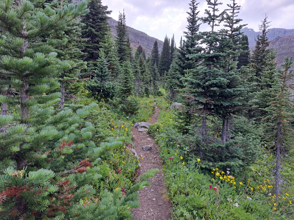
The Tatacoa desert ambles were very pleasant. Our guide, Catrina, was very knowledgeable describing geographical features as we strolled through the Gray gorge.  After a siesta she picked us up, for part two of our day, in a tuktuk which is always great fun.  She took us off to the Red canyons and later on up to an observatory. The observatory was small but perfectly functional. It’s owner Guilliame, a very knowledgeable man who enthused about his topic stating it was self funded and, as we were endlessly told, struggling financially.  Having looked through the telescope we ended up on our backs peering up at the sky while he enthusiastically waved his torch around creating arcs in the sky. Thankfully Gid passed the trial and answered most of his questions when he stopped to draw breath and test us.

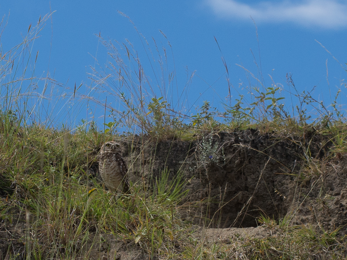
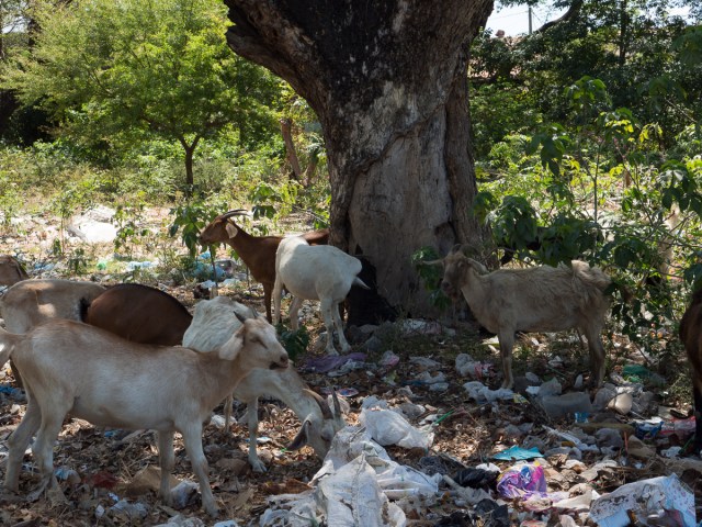
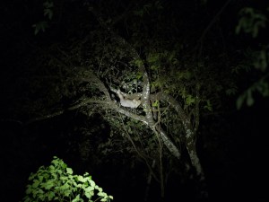
As we were released and returning to our feet I noticed something scurrying away.  Initially I thought it might be a cockroach but it seemed rather big for that. I kept on about it and was just able to pick out it’s route in the dark.  With a beam of light hitting it it was revealed to be a scorpion.  We’d been snuggling up to a scorpion as we flapped our arms around pointing in the direction of this constellation or that.

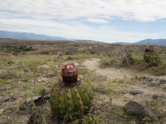
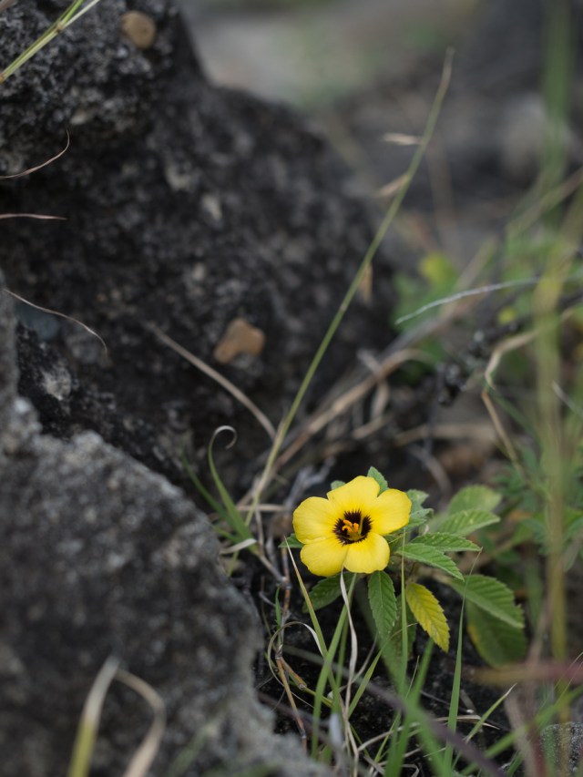
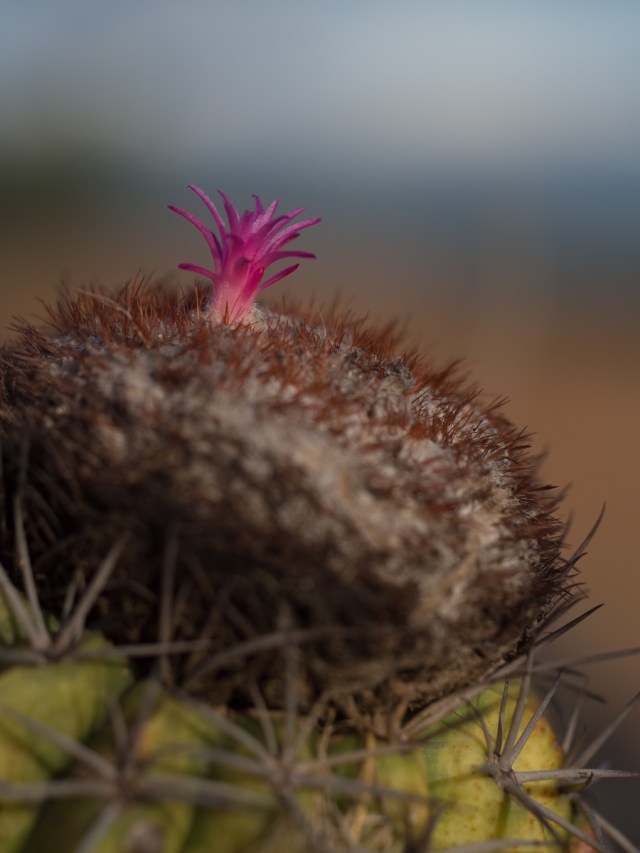
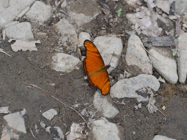
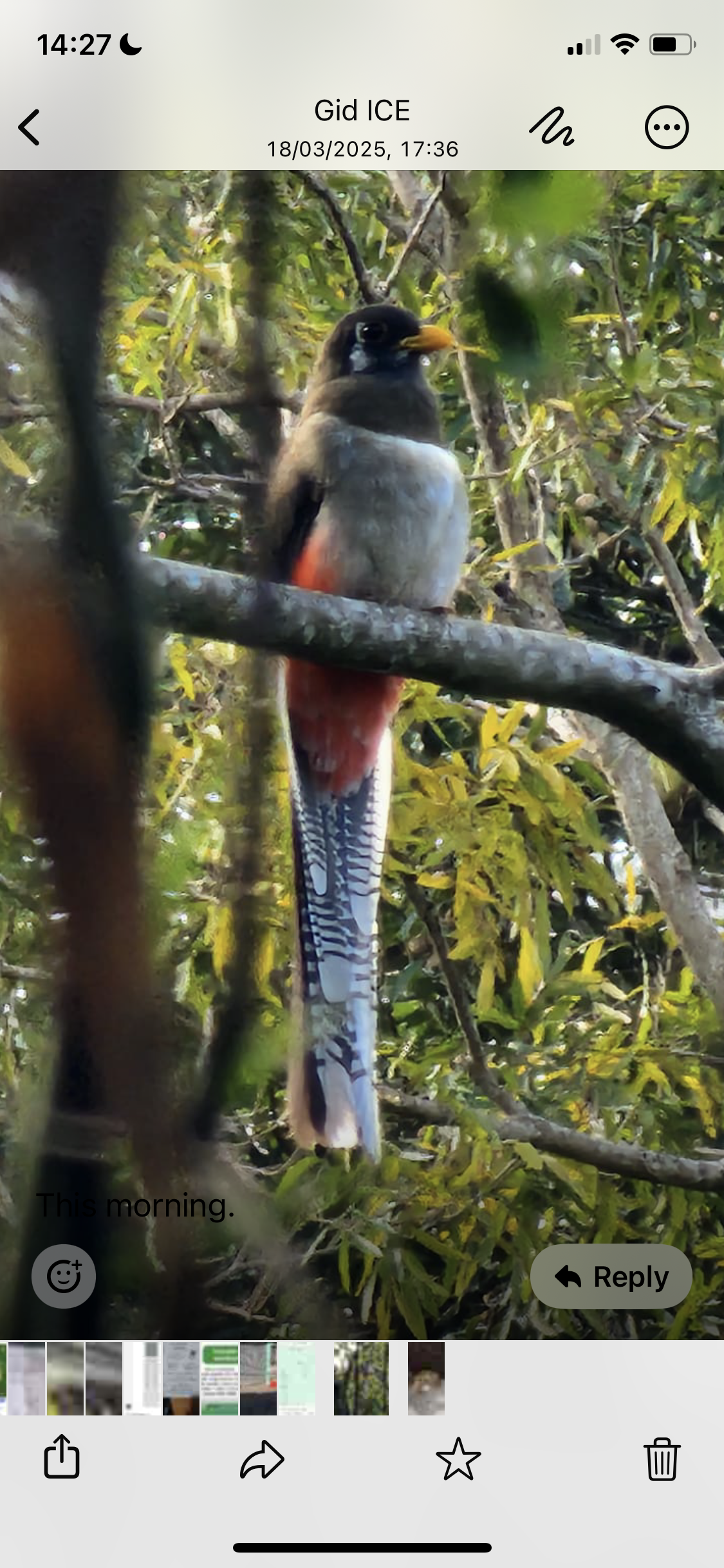
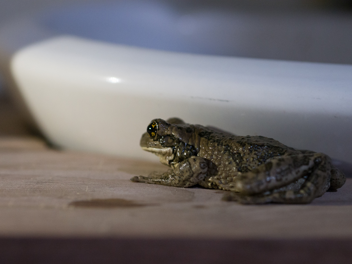
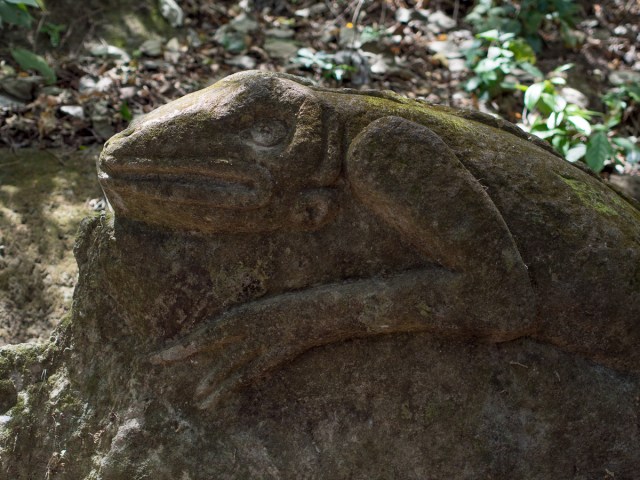
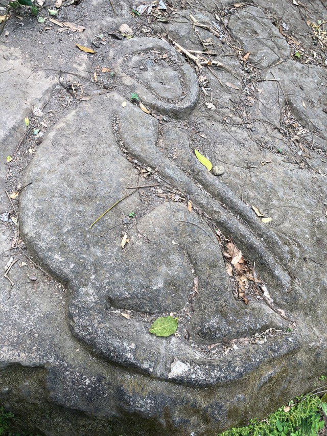
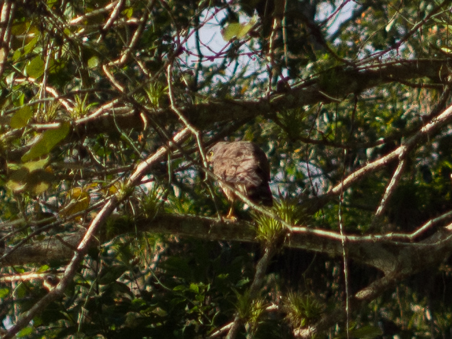
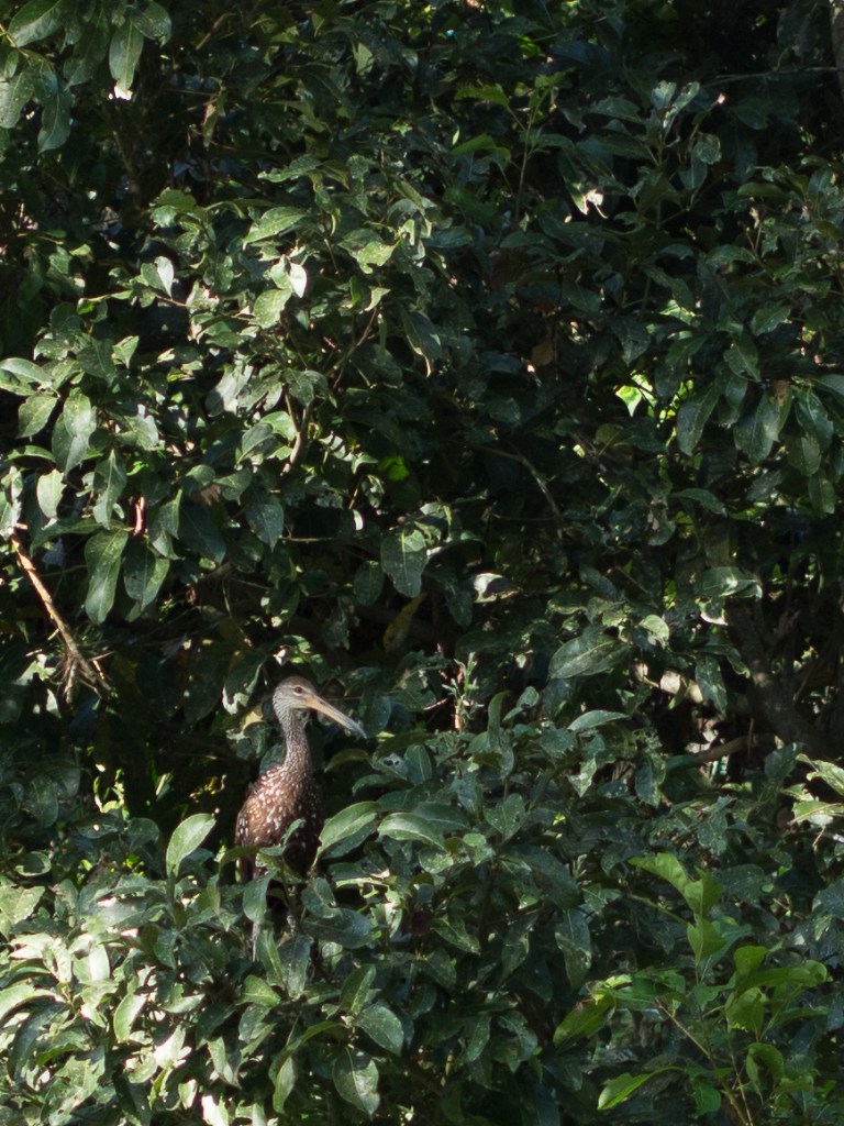
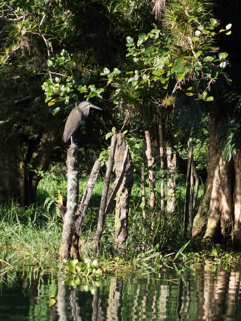
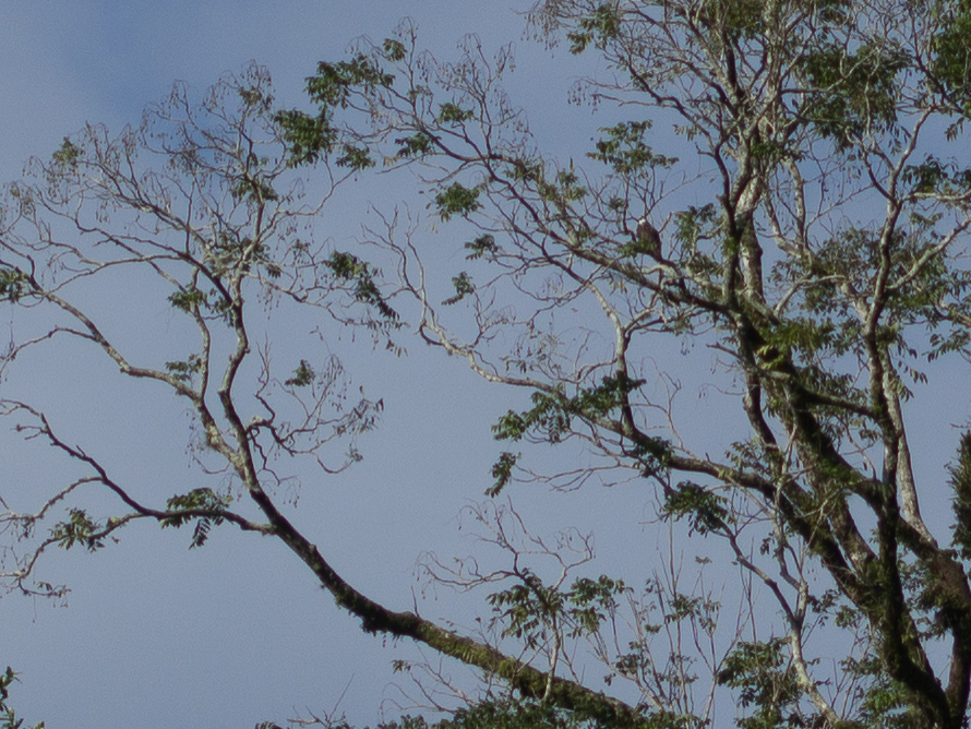
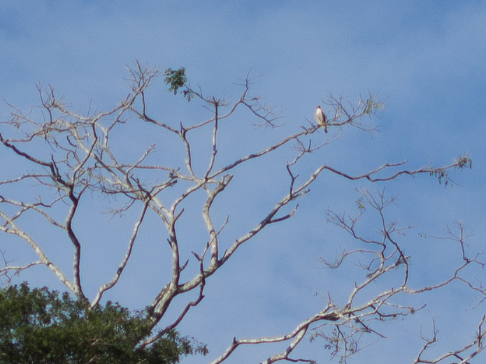
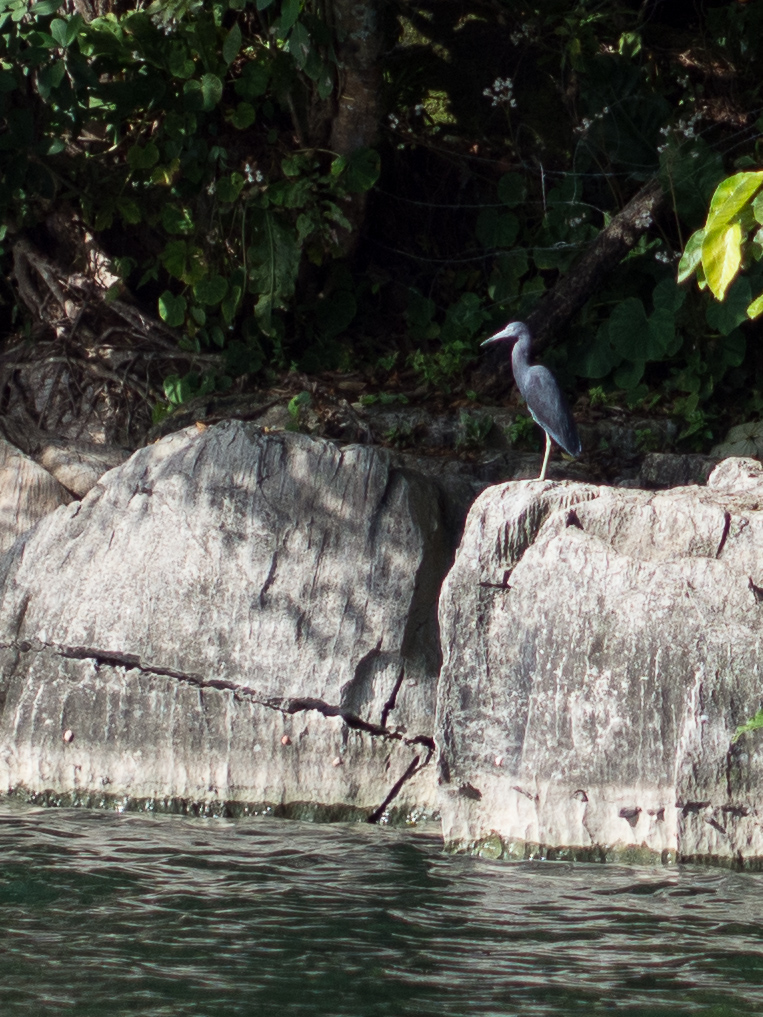
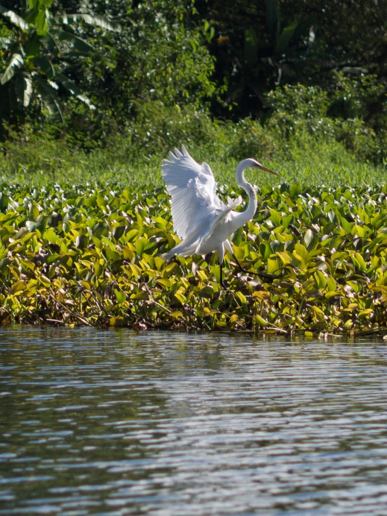
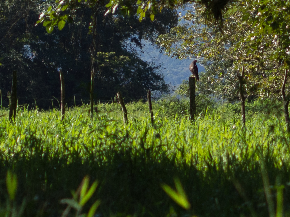
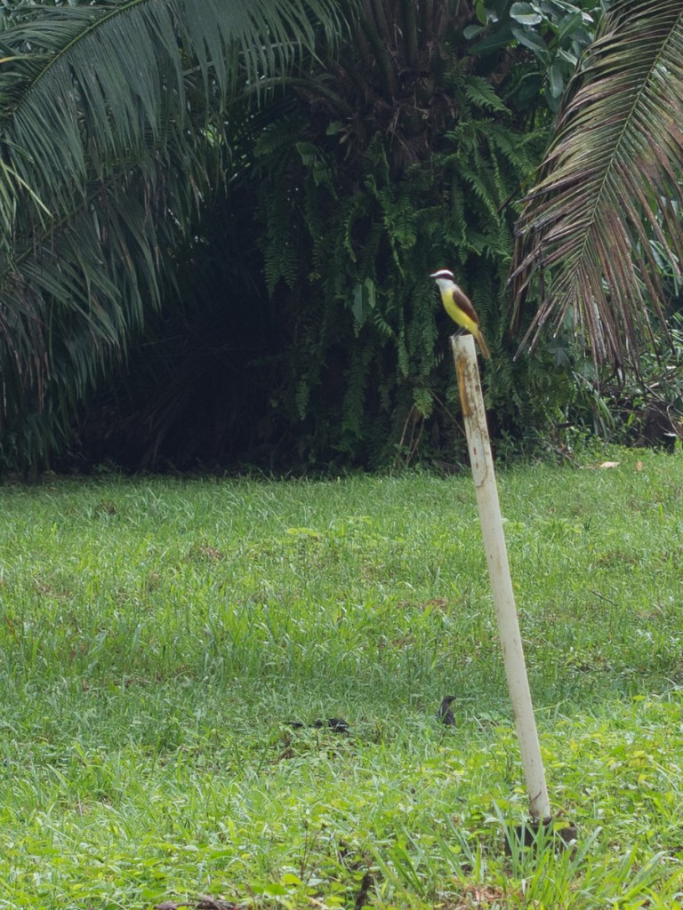
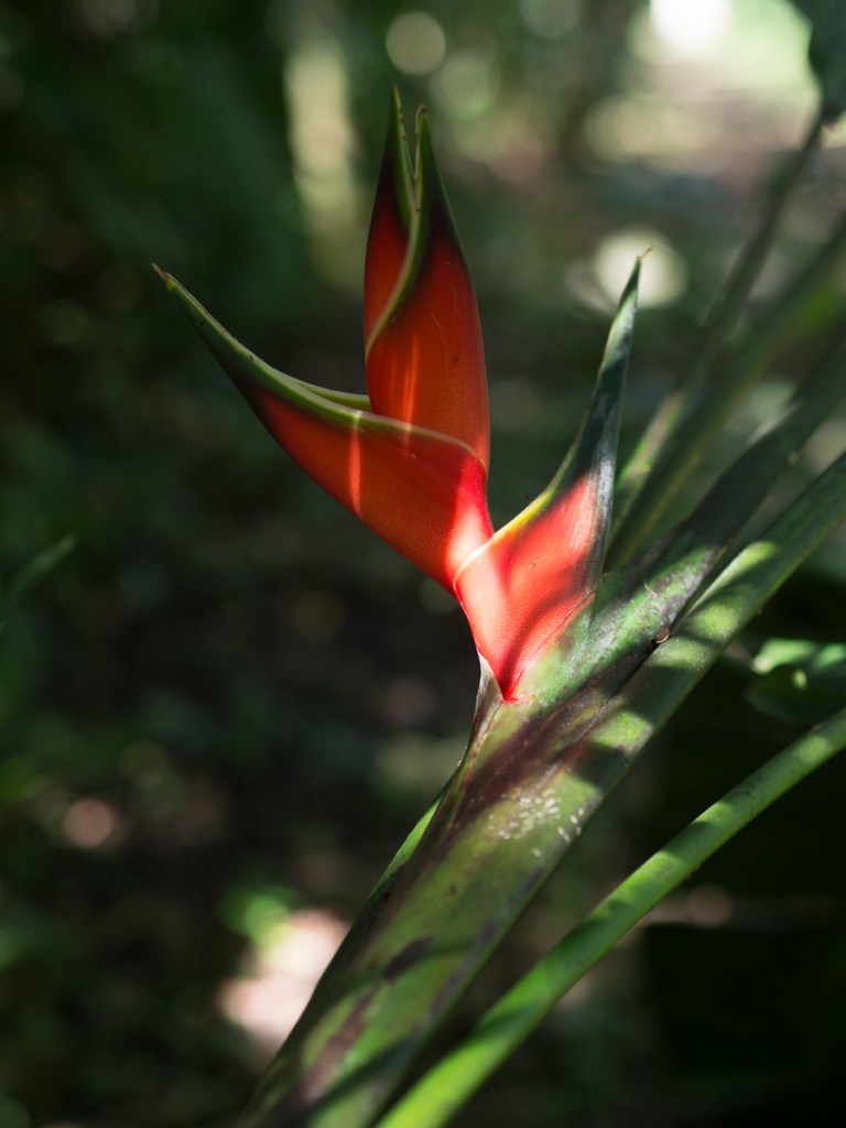
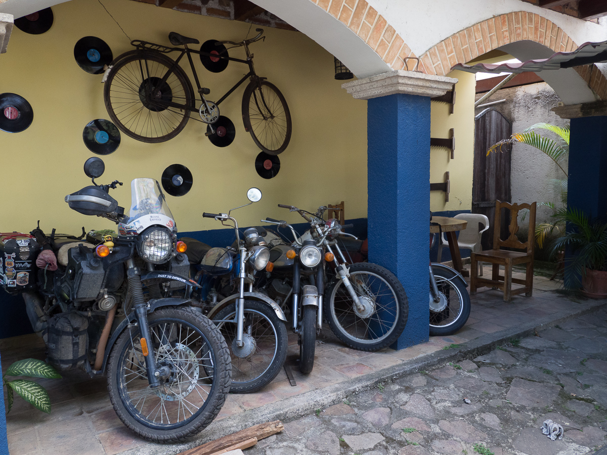
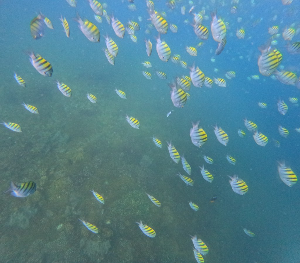
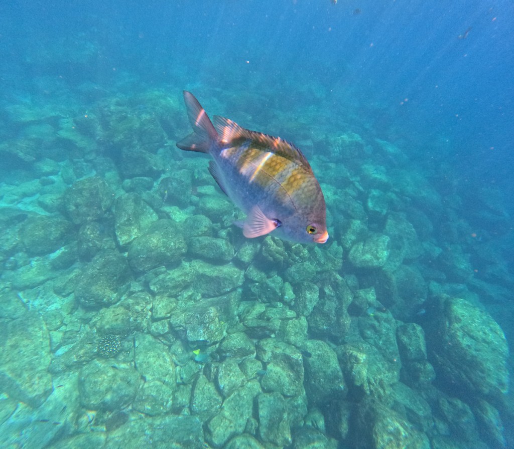
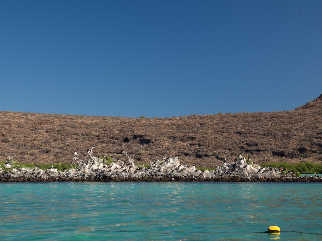
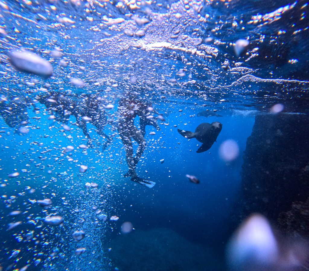
Tatacoa beasties can have their own gallery….

Time is pressing.  We’ve taken thirteen months to get from Alaska down to southern Colombia. Two months in Colombia – we can finally spell it correctly.  We’re about to cross into Ecuador where we will cross the equator.  That’ll be half way then and we have four and a half months left on our travel insurance. That seems like very bad planning but the trip has to be completed inside nine months or over fifteen because of the limitations of the seasons.  Having started in Alaska in June, at the onset of the summer, one year on it’s the start of the winter in the tip of the southern hemisphere.  Apart from the possibility of snow at sea level in Ushuaia we have to cross the Andes mountain range to reach it.  Hence we need to delay our arrival in the southern hemisphere in order to complete our trip. Our plan is to head down the warmer coastal route and cross the mountain range at the last possible chance in a hope that the mountain roads will be snow free and open.  Fingers crossed.

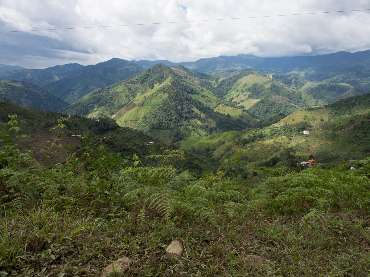
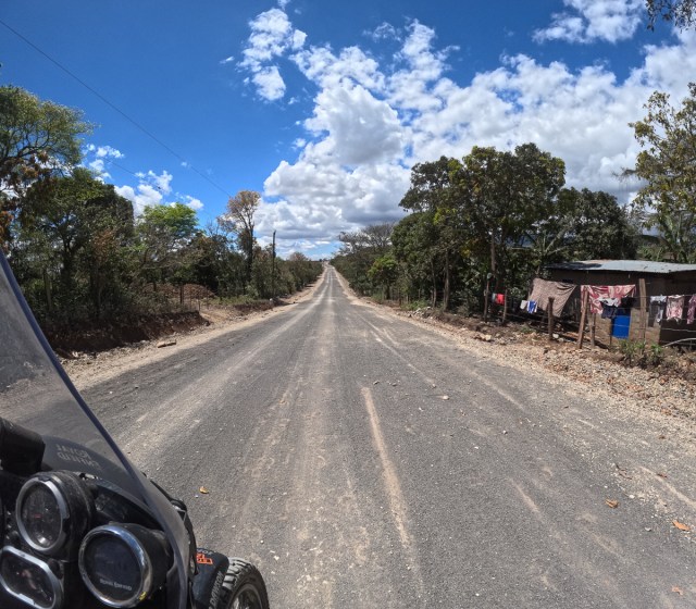
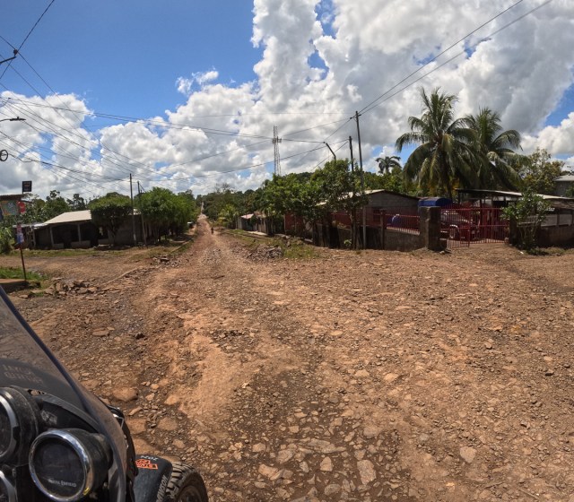
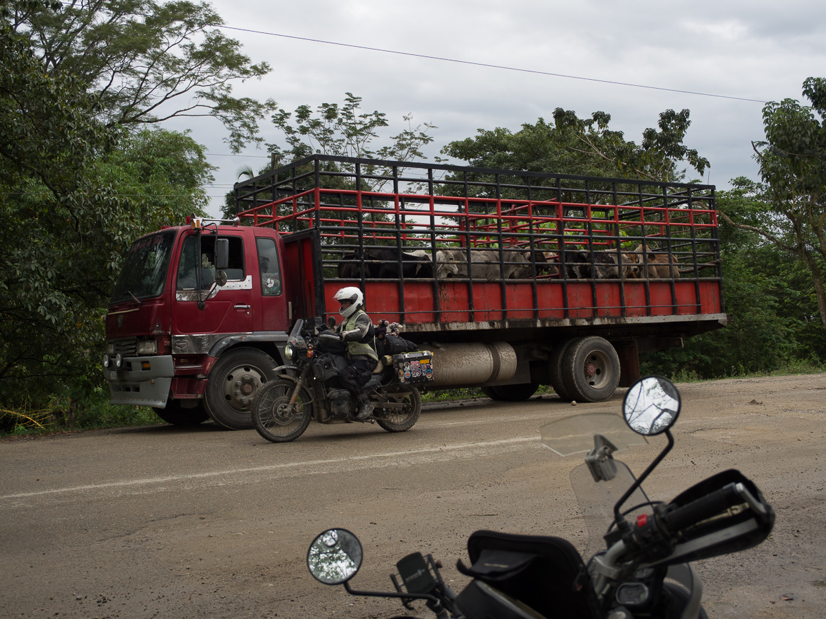
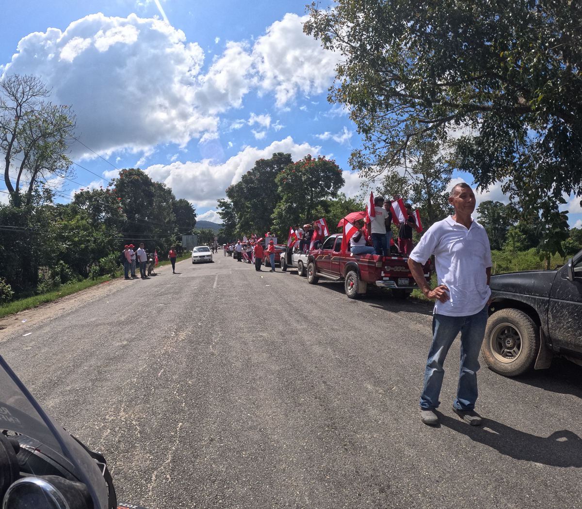
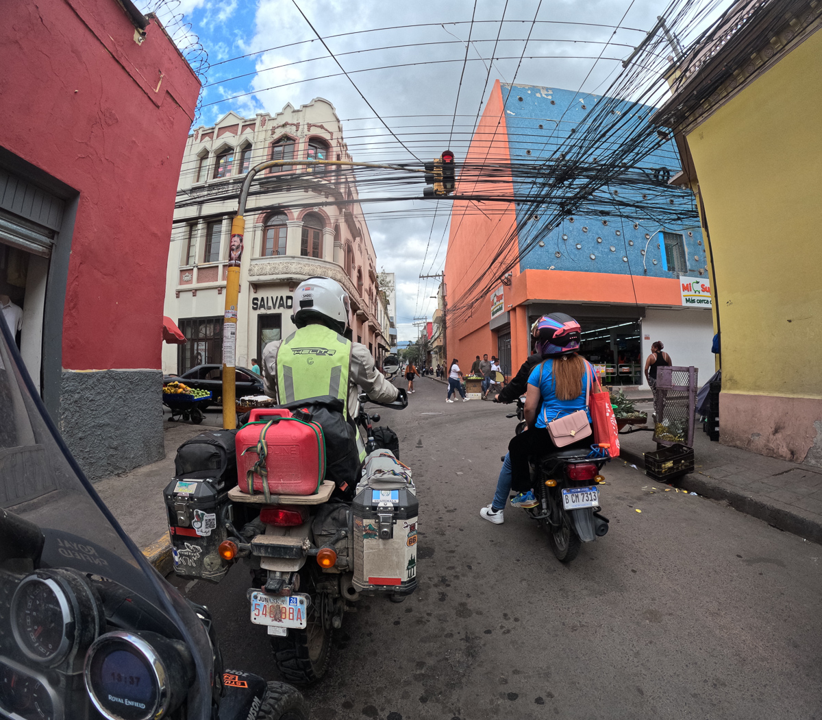
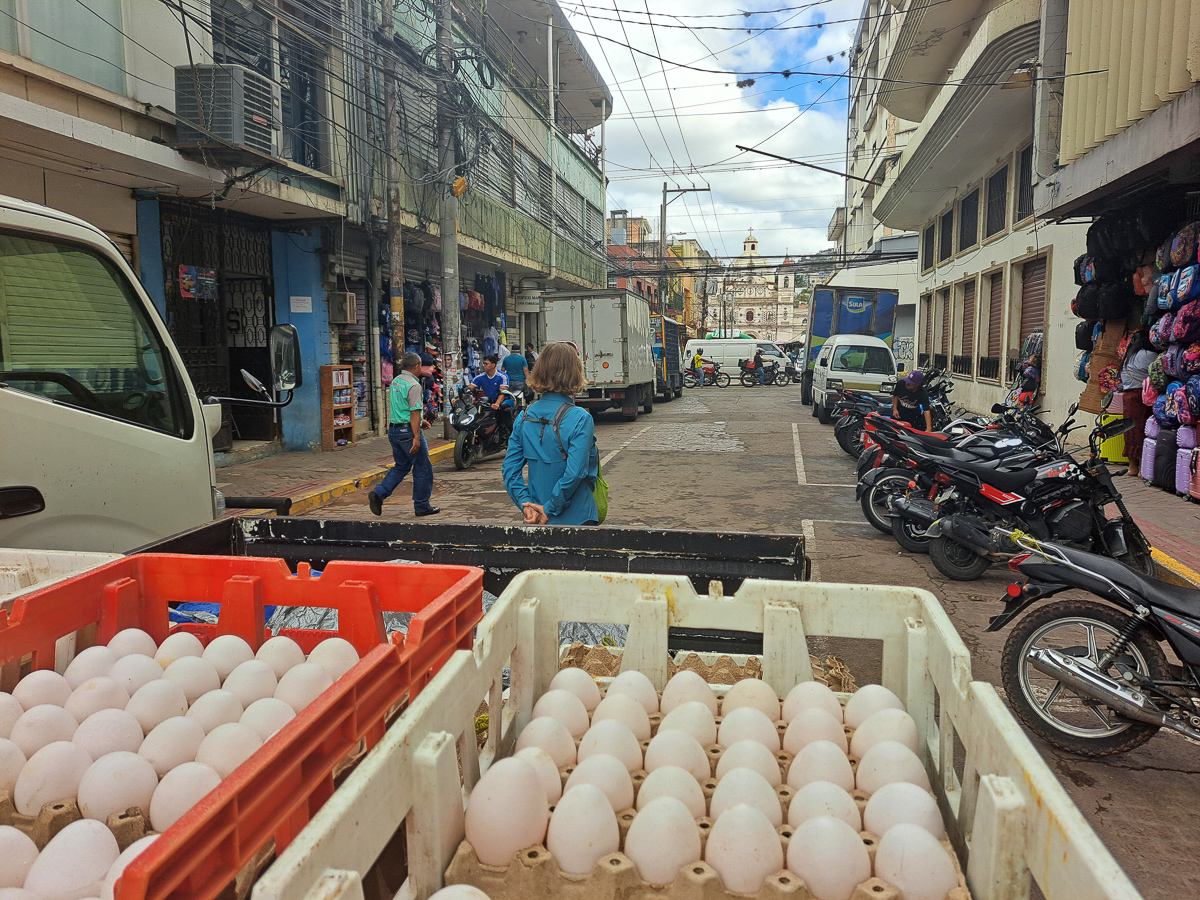
But we still have to make progress southbound and getting that right is tricky.  Our route from Villaviejo according to our navigation devices was three hours long when we set off but took seven hours thanks to another road block by the rice growers, road works where an endless stream of trucks came through and delayed us another half hour, followed by a political procession which also blocked the road.  Add in a coffee break and lunch – the combination of the lot more than doubled the time it took.  Over three or four months it should even out but we certainly need to err on the side of caution when estimating the time it will take.

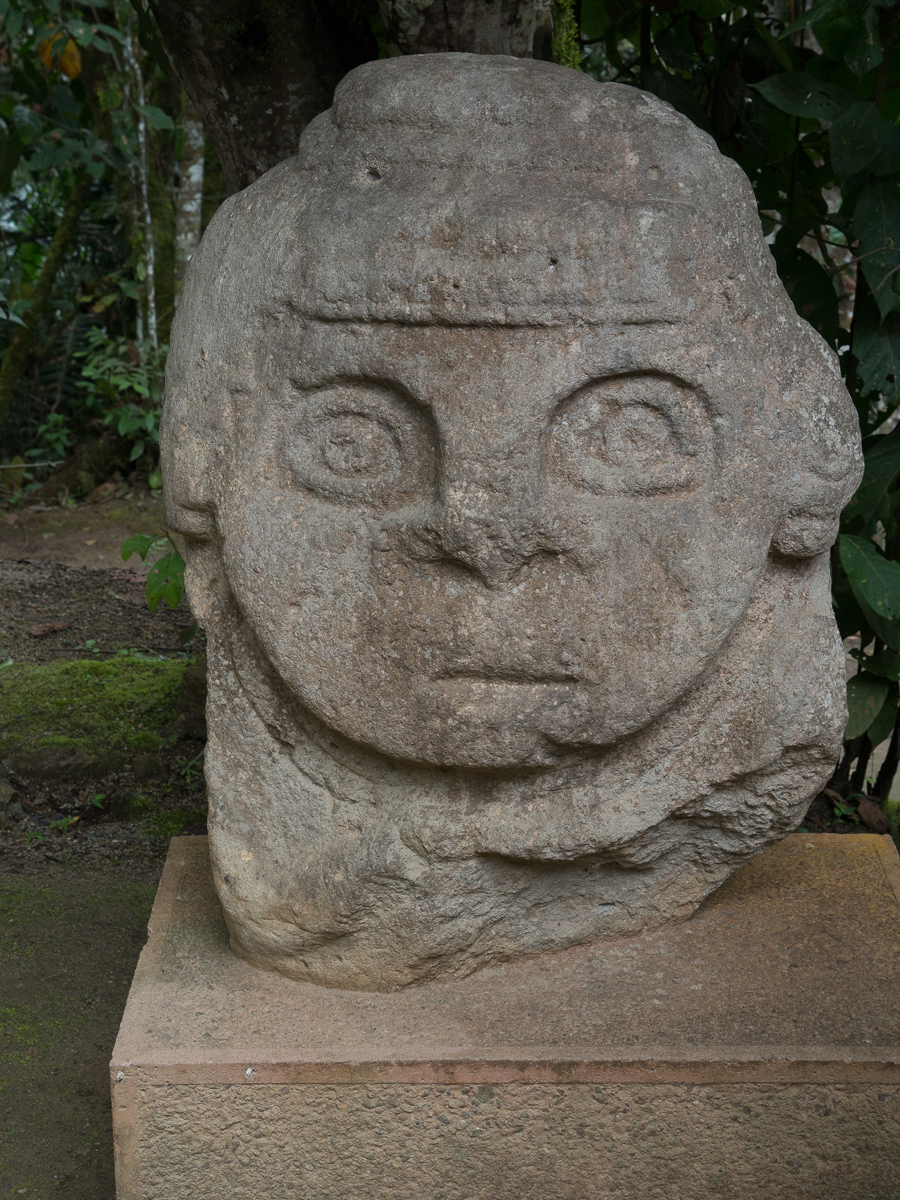
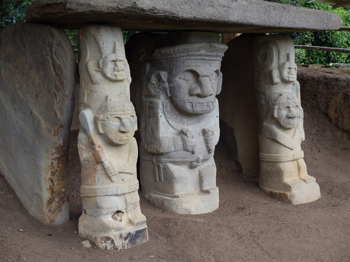
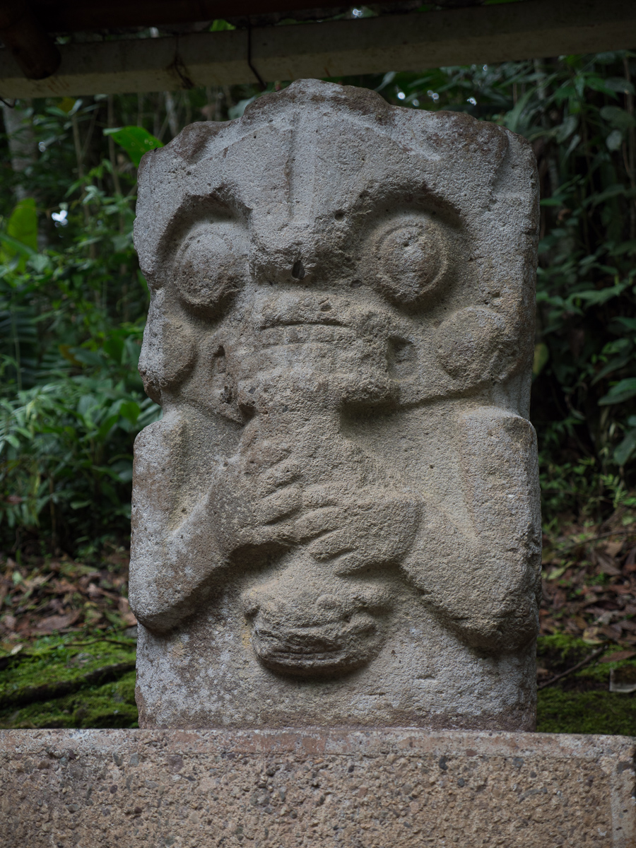
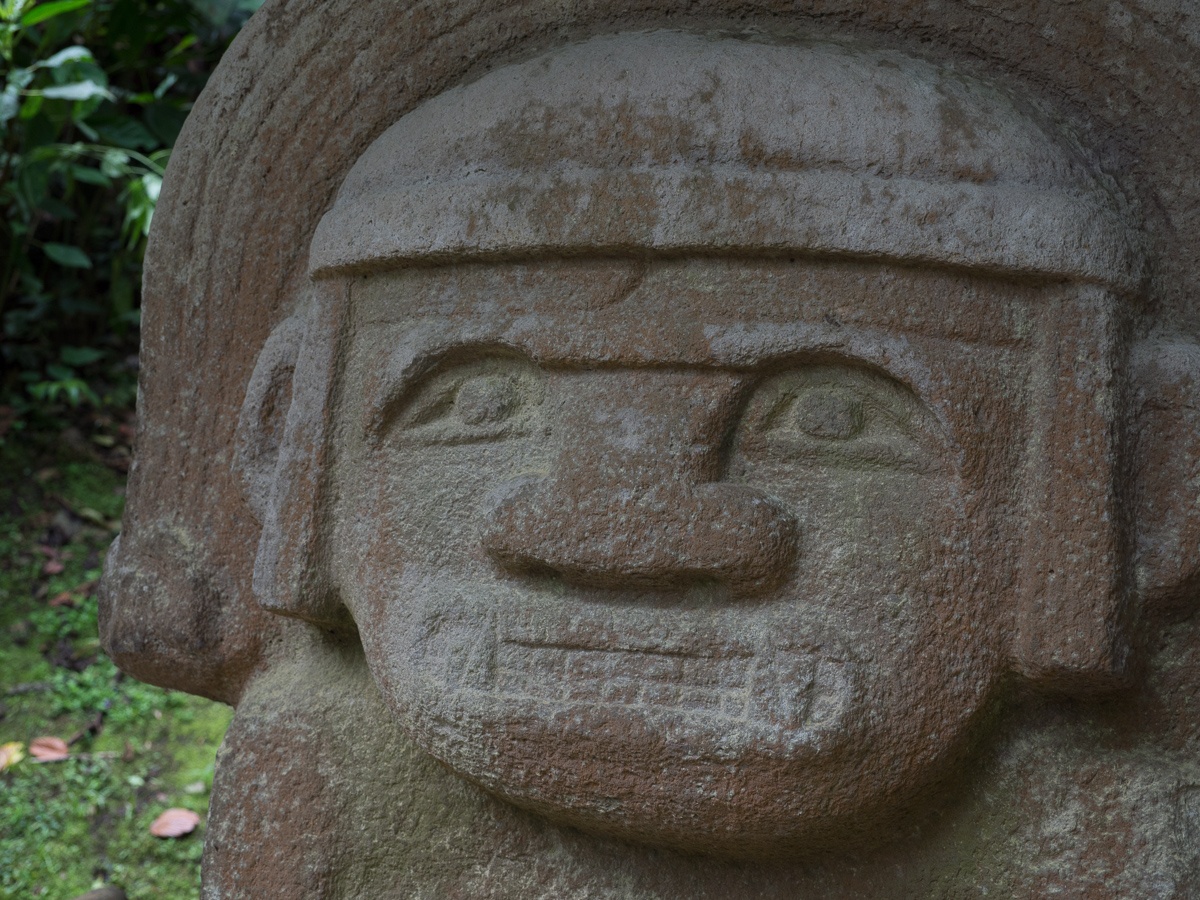
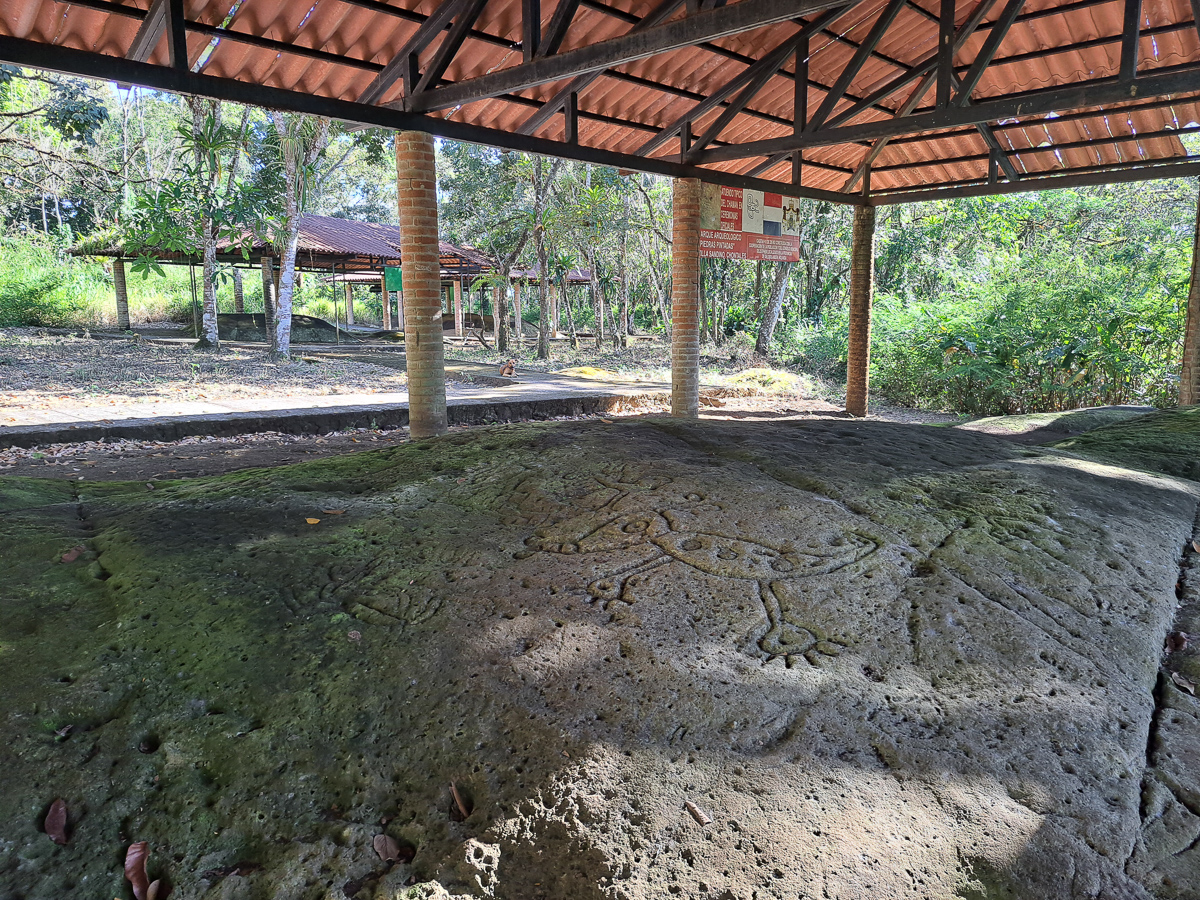
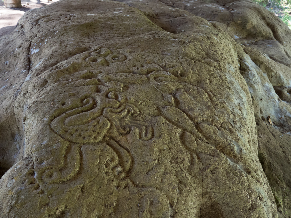
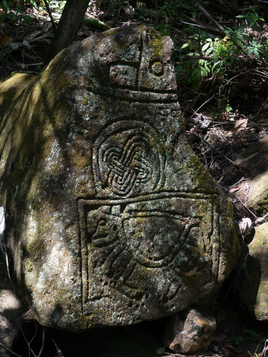
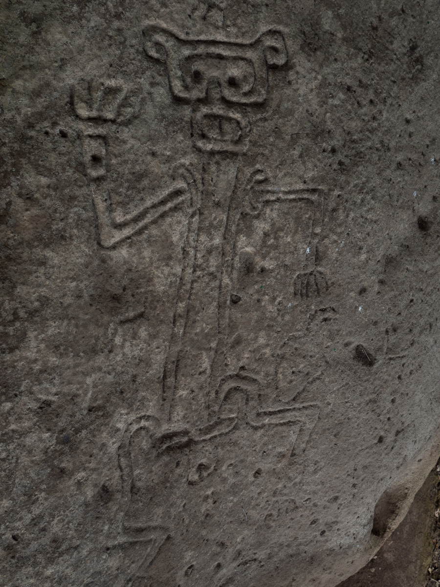
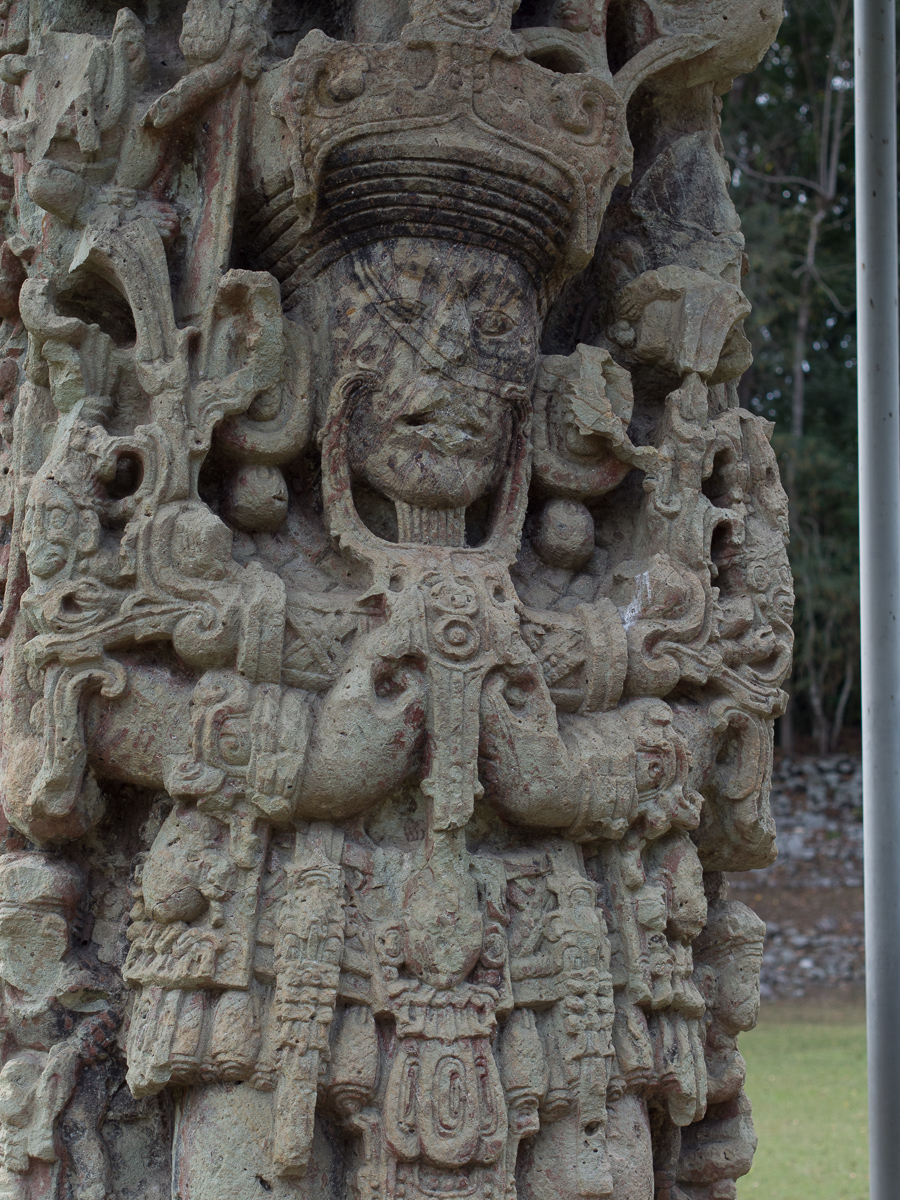
Our plan has always been to stop just short of a border and cross the following morning. Hence we proceed through the three hour process and set off in the new country early to mid afternoon. Plenty of time to make a destination before it gets dark.  But San Agustin was an awkward distance to the border. More than a day but not two days or so we thought. Gid was keen to throw in some planning time to reassess our schedule for our southerly route and thought that our previously planned half day visit to San Agustin Archaeological ruins would give that opportunity.

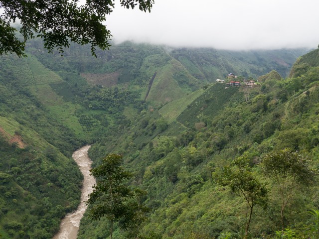
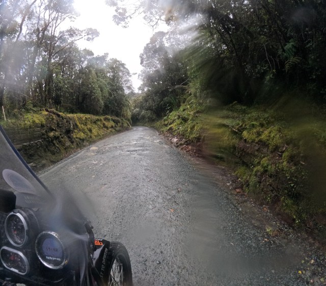
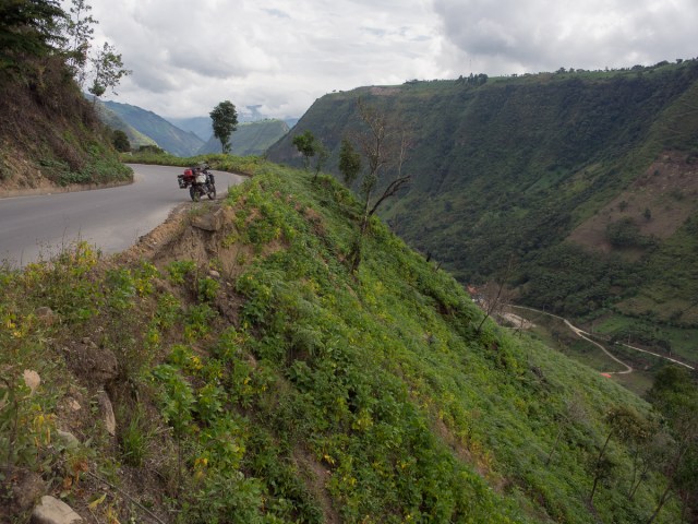
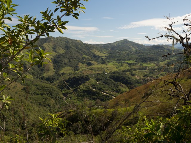
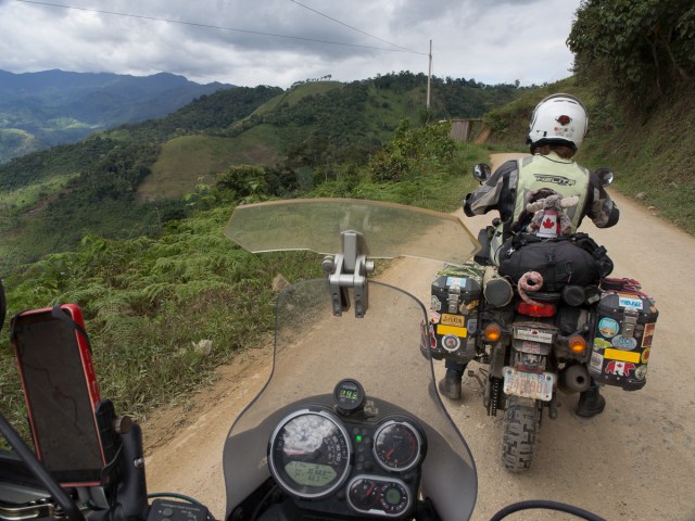
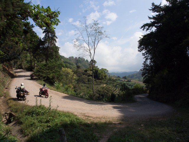
Leaving San Agustin we set off with a clearer idea of our timing but once again we were caught out by reality.  Our host said it takes four hours to reach Popayan and looking at the map we had thought we’d make it a whole lot further south and be near the border for a next morning’s crossing.  The 90km of dirt road, Ruta 20, across the Puracé National Natural Park in the pouring rain put paid to that. An adventure all on it’s own as we squeezed past articulated lorries who seemed to think of course the road was theirs (not that we argued) but at times we where struggling not to slide off the muddy road into the soft ‘gutter’ at the edge. Once through that we thought now we’d make up some time.  That was before we came round a high mountain pass to look down into the valley, across a river, and up the other side.  Blocked!  A complete grid lock.  Luckily, on motos we can squeeze past a lot of it but as it winds backwards and forwards down then up the mountain side it was again slow.  We never did find out what the hold up was as at the front of the queue it was clear.  But, the army had clearly been doing something major down at the river crossing, and received lots of hoots and thumbs up from appreciative citizens.

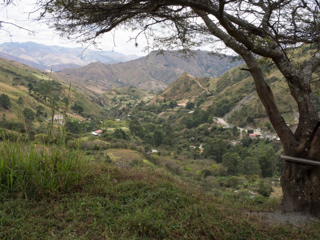
South of Popayan we found a roadside resort – both tired and frustrated we stopped.  It had two splendid pools, a bar, and no electricity.  With no idea of what was ahead we still hoped that with an early start we could make the border tomorrow.  An early start was breakfast at eight.  It wasn’t offered any earlier but if we’d known that it would be nearer eight thirty we might have declined in order to get on the road.  We had a drink break and stopped to put on rain clothes as the weather deteriorated and we were climbing up into the clouds but pressed on along the fine Ruta 25 to make the border.

We arrived at the Ipiales border at 3pm. Having read that the South American borders are quicker than Central America’s we went ahead.  We’ll be out in a couple of hours or so I thought.  The passport paper work might be quicker but the queues weren’t and neither was the Ecuadorian Temporary Import Permit (TIP) for our bikes.  Four hours later, already dusk, we left, finally on our way again.  At eight o’clock we saw a big HOSTAL sign aglow in the darkness.  We beeped at the gate and waved until the owners emerged to check us out.  They opened up and weren’t our first Ecuadorian hosts nice!  Soon Clare was wrapped in a big blanket with a mug of chocolate caliente, or two.

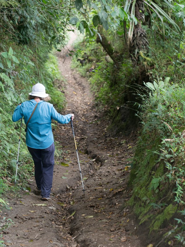
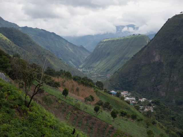
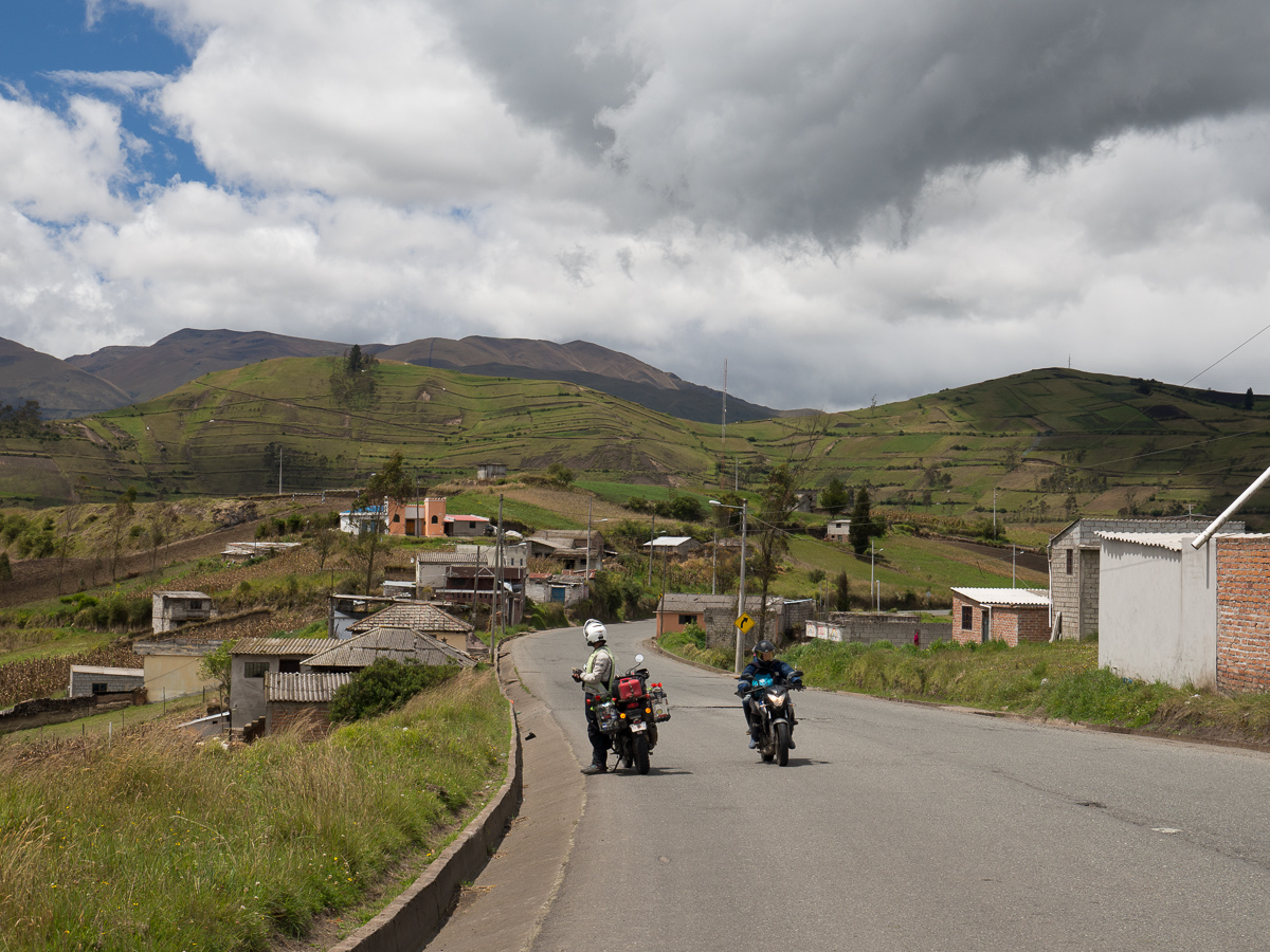
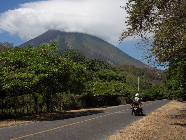
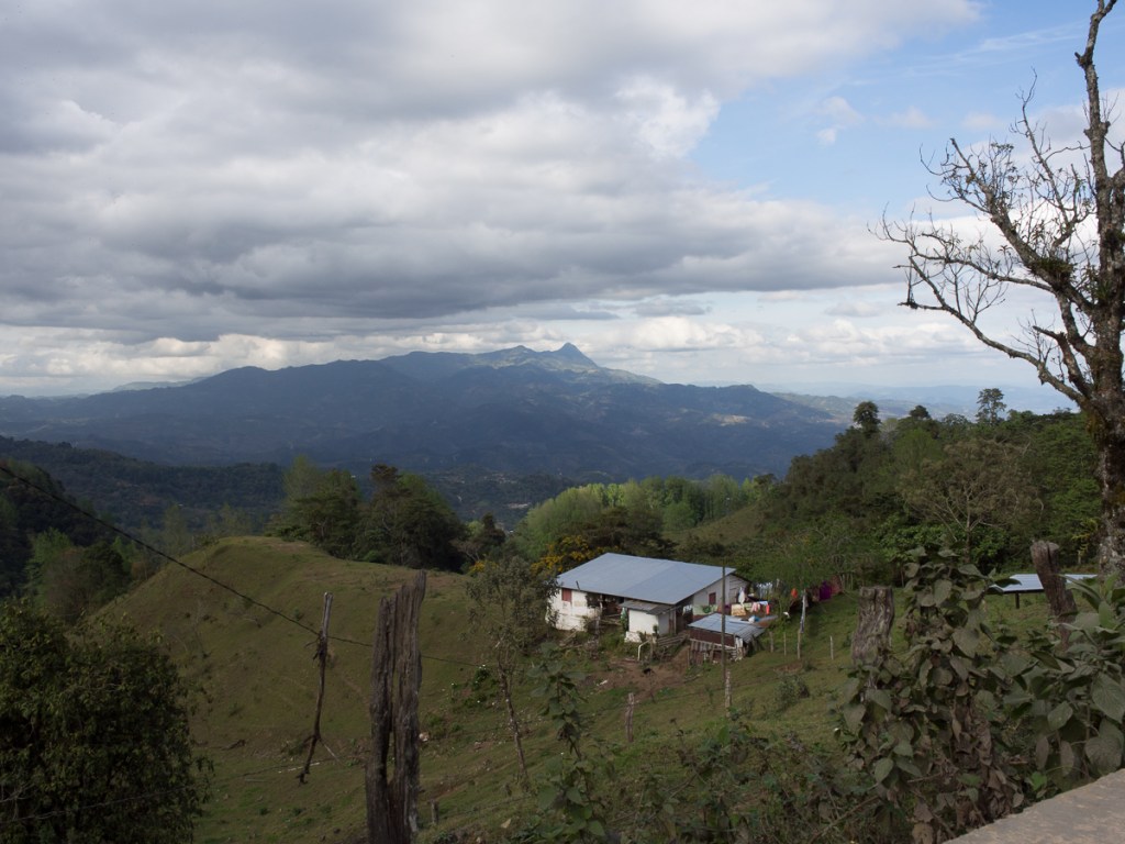
Settling into Ecuador we made our way down to Quito ticking a couple of boxes on the way.  The first was a Lonely Planet recommended scenic road from Otovalo out to Apuela.  The road was twisting up and down the mountain side and I’m sure the view was spectacular but shrouded in cloud we didn’t see a thing!  Our day at the village for a recommended ‘flat’ walk (no flogging up another mountain for me) gave better views as did the return trip back along the winding road to Otovalo.  Otovalo itself was the second attraction with it’s biggest in Ecuador outdoor market.

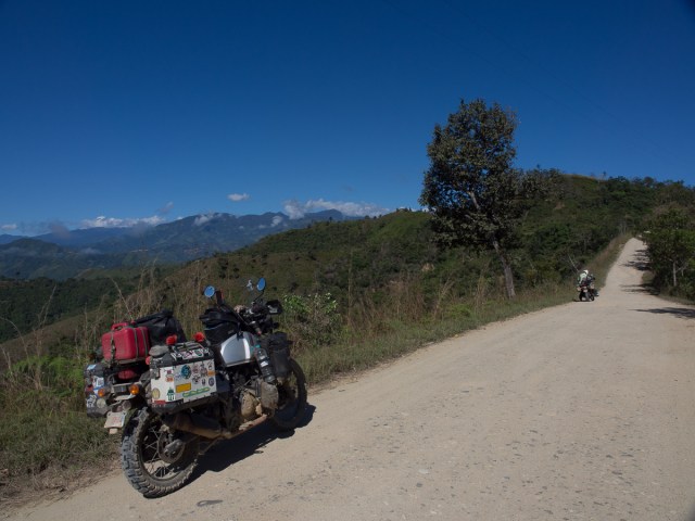
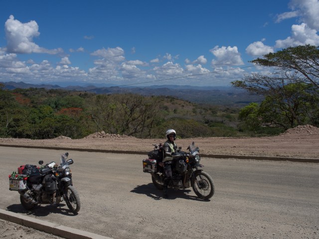
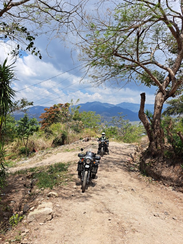
Our initial route to Quito was a little ambitious for us.  Recommended by a keen adventurer bike, & fellow Himalayan, rider, Redd.  One hundred metres up the track was enough to decide that it was probably going to get beyond my skill level.  We turned back and headed along the main roads turning onto the E20 for less traffic and some great views.

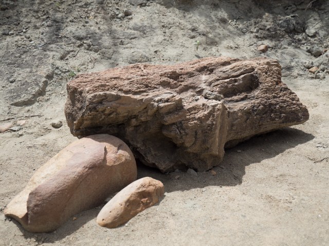
Quito itself was a bit of an errand stop. New (Australian!) tyres, replacement parts for my now broken GoPro mount and extra socks for Gid. We handed on Redd’s gloves that had arrived late at Donkey Sunrise.  We did visit a couple of museums and were pleased to see we’d moved on from the basic clay pots as the ancient indigenous people were very sophisticated from an early stage. But Quito itself was fairly mundane, at least the part we were in. Anyway, we had a nice rest in the AirBnb yuppie flat.

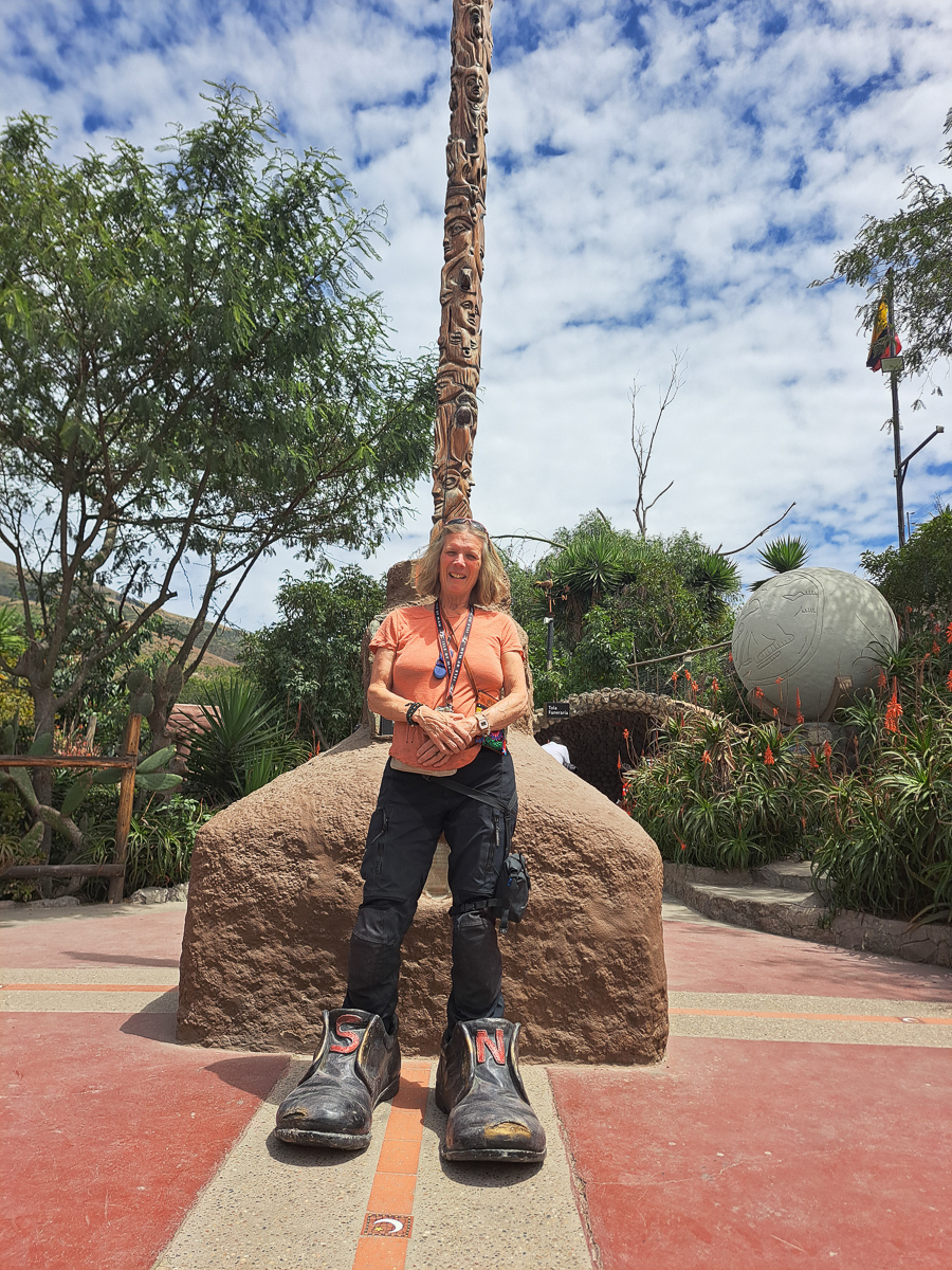
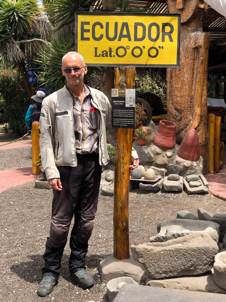
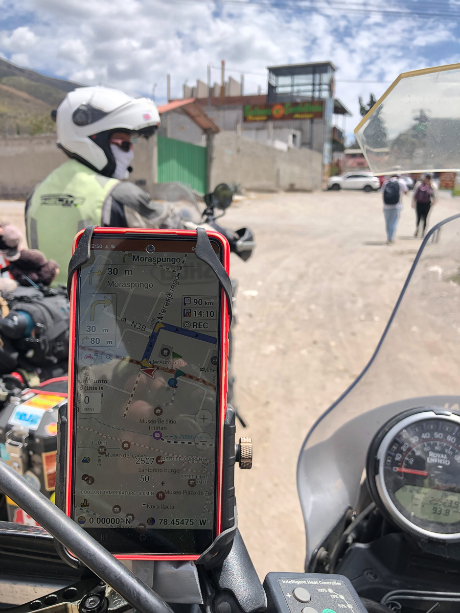
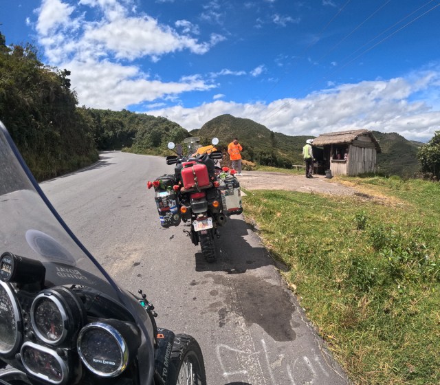
Having missed the equator line, foolishly whizzing across without noticing, we back tracked to the Museo Intinan and did the Northern Hemisphere / Southern Hemisphere tests before setting off south again.  Our route, recommended by one of the moto shops in Quito, avoided the PanAmerican highway again.  Enroute we should have been aware that things may turn interesting when we looped around the strategically placed bollards and a police car blocking the access to the road. The lane allowing traffic out was open so we bypassed the obstacles and set off.

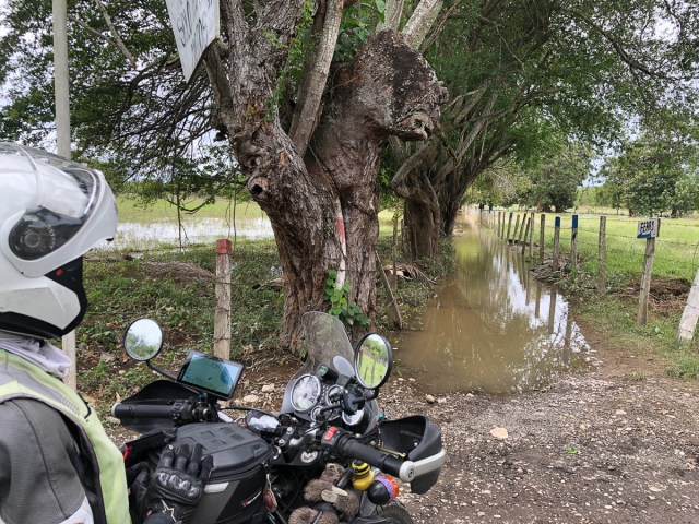
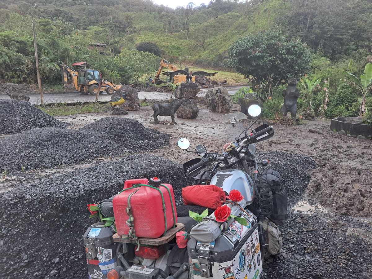
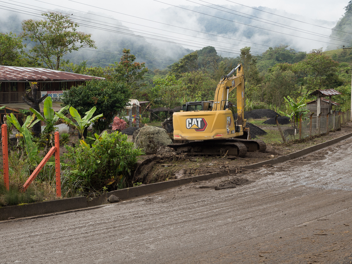
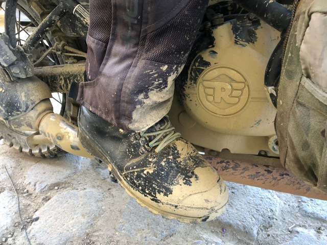
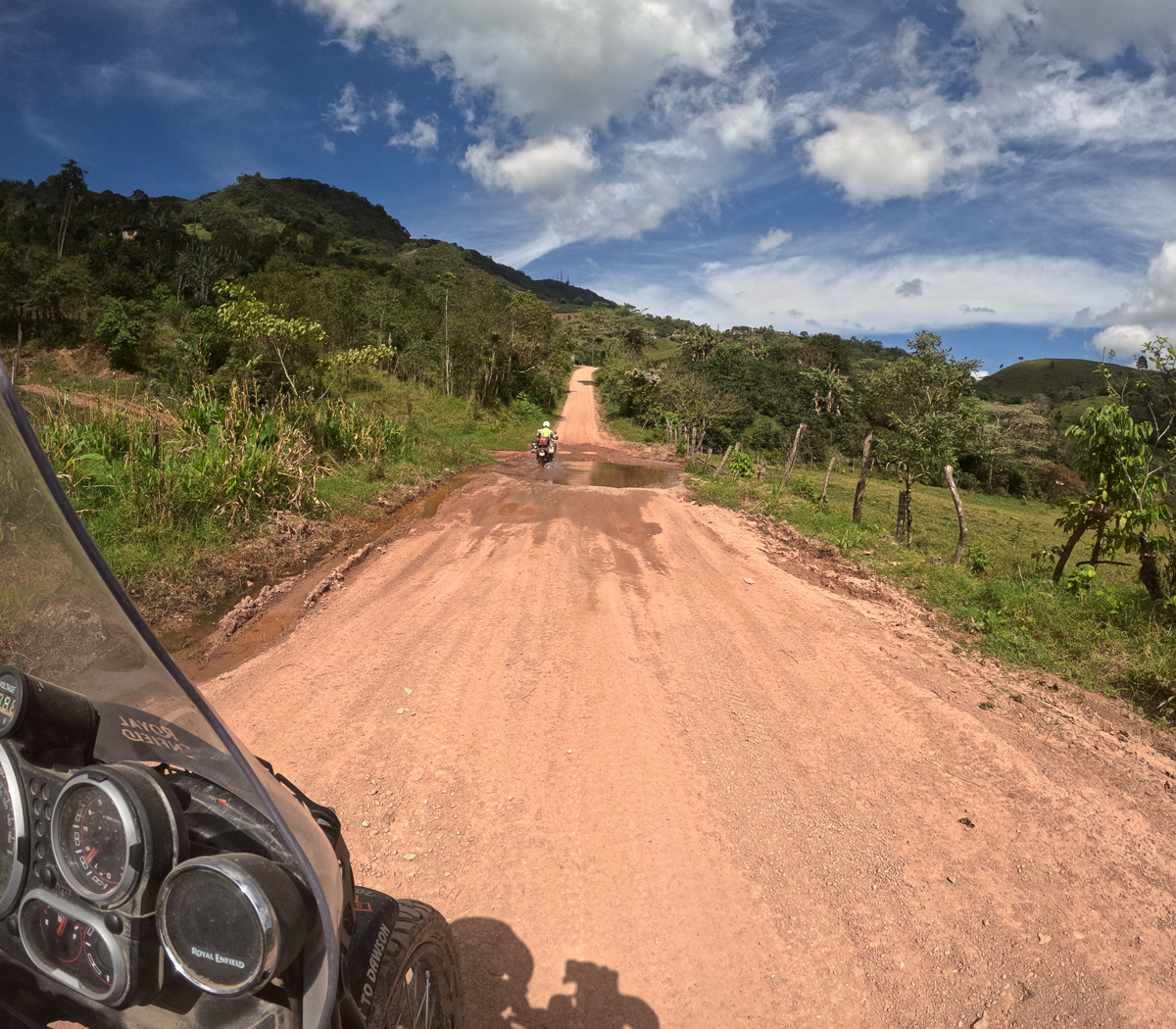
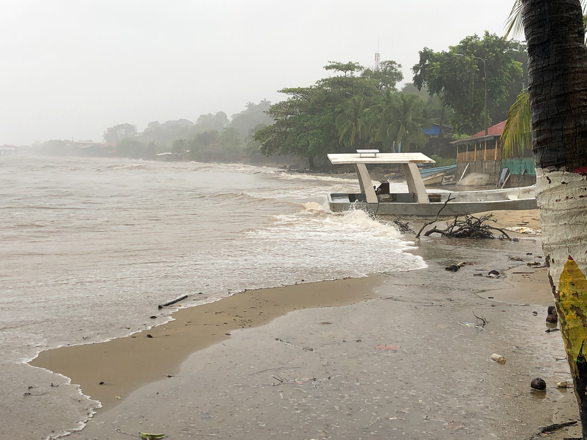
We thought we had the measure of the problems when we crossed a few minor patches where water was spanning the road. With so many waterfalls along the way it was to be expected as well as the odd bit of debris at the road edge.  Wrong!  Before very long we met the tail end of a fairly long traffic jam.  One advantage of the mountainous routes is that it’s frequently easy to see a fair way up or down the mountain side.  Being on motos it’s easy enough to jump the queue and get near the front.  A mix of various sized lorries paved the way, one aimed uphill and stuck in six inch mud, which had swept across the road as a part of a sizeable landslide, was blocking the road.  Workers were trying to dig out a route, aware of the precipitous drop metres away.  The lorry, to the cheers of the diggers, gave up and edged backwards.  A route opened up.  The erstwhile “workers” gleefully leapt off towards their own vehicles keen to get through the gap.  We being ready and waiting cautiously made our way through the channels of deep mud.

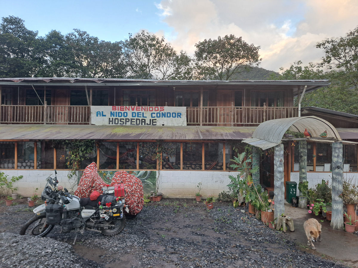
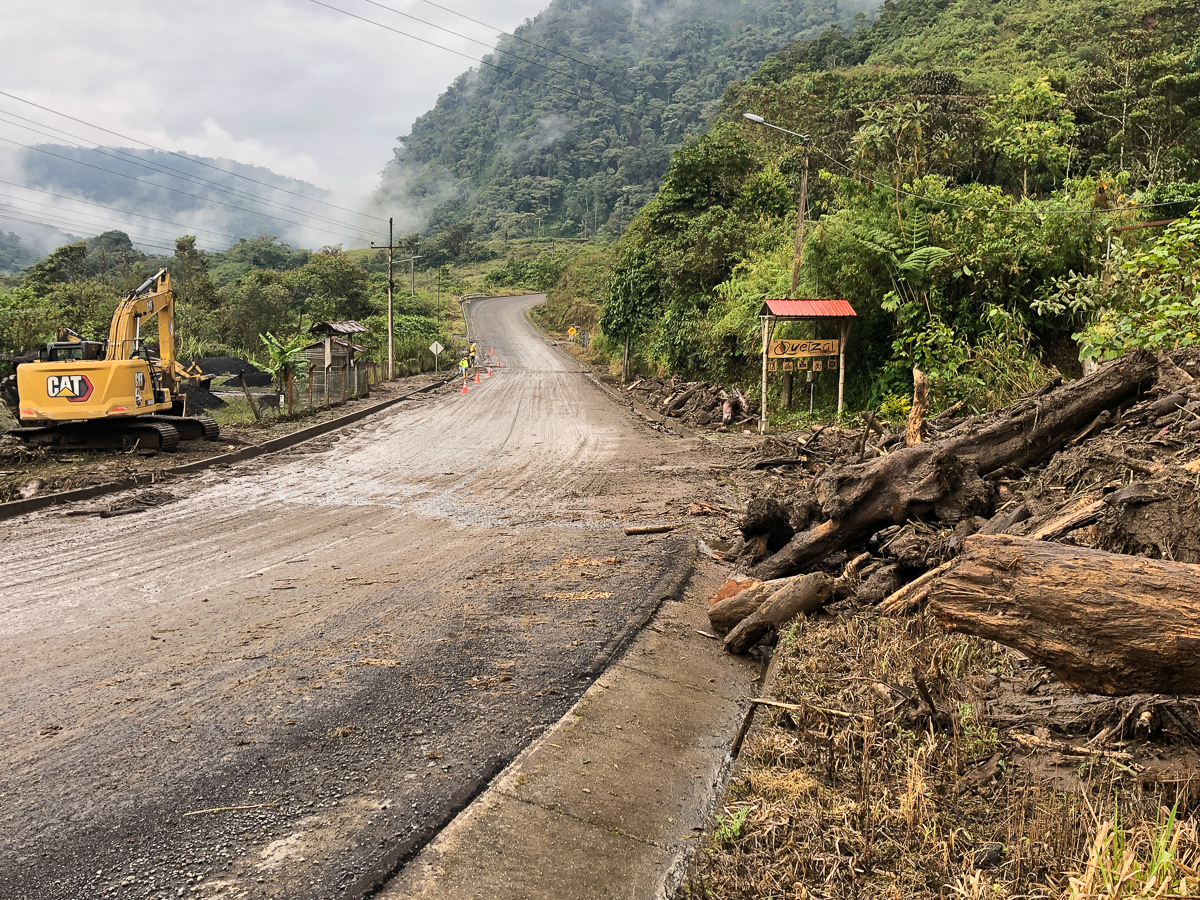
Through – that would be it then. But the road turned out to be a series of surprises.  Endless small floods crossing the road and other areas of landslides and deserted hotels before finally we found accommodation along the road side.  Yet again there were JCB diggers and workers with shovels clearing the road.  Our talented, artistic host told us of heavy rain falls in the last 24 hours.  The mountain stream running alongside his hospadje had burst its banks higher up the mountain bringing trees down in its wake, blocking the channel under the bridge, flooding out, trees and all, over the road and through his out buildings. The entrance to his property was six inches deep in mud and despite clearing up his extension, a tide line of mud was still there 15 inches up the wall. Fortunately, the Hims on their new chunky tyres trundled through said mud to a safe berth amongst piles of tarmac scrapings waiting, from before the flood, to go down as carpark topping. Clare managed to resist the very attractive orchid ceramics and colourful 80cm square canvases.

As we departed the following morning a neighbour was calling in. They couldn’t access their house as the bridge was washed away.  But Colombians are fast workers, already a backhoe had diverted from the roadworks, and spread a deep layer of the dry tarmac scrapings over the gateway mud, making our exit much easier, and crucially, reopening the business for customers without chunky new 50/50 tyres.

We set off again far more aware of the scale of the disaster happening around us.  Gid had rechecked the Government advice about states of emergency which was nothing to do with criminal safety as we’d anticipated but a month ago it had warned of floods and road closures in Ecuador.  Here we were in it.  For a second time on this mountain route we headed off cautiously thinking the worst was behind us. To a degree it was but we soon found more ahead as we arrived at the back of another queue, this time for a foot or more of water coursing across the road.

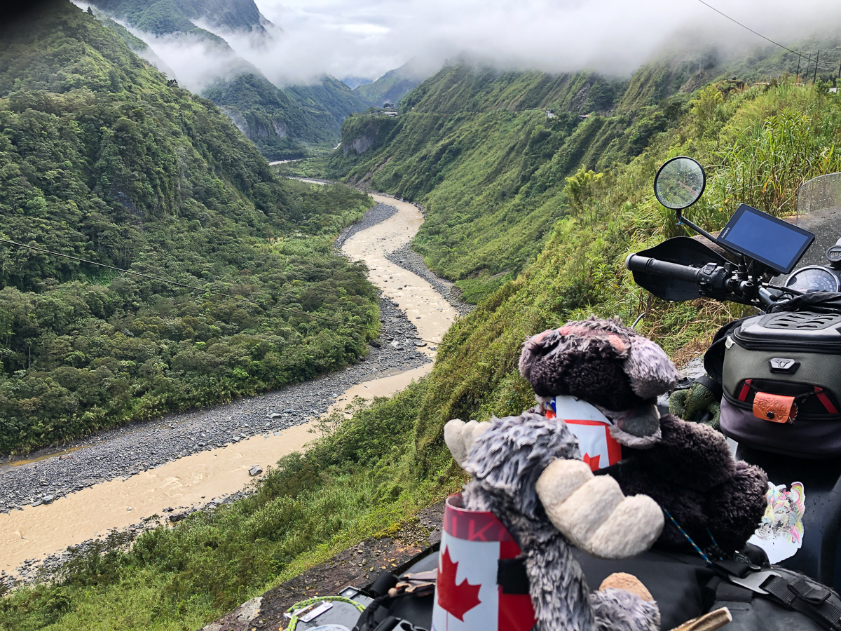
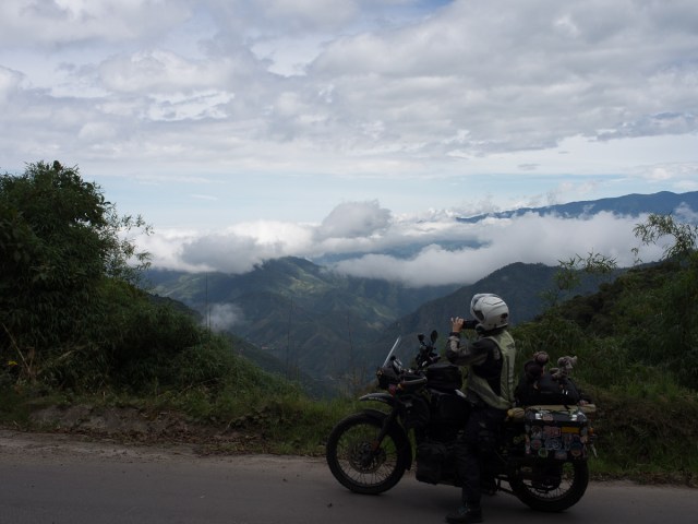
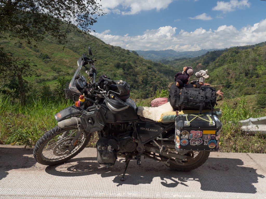
Over the saddle into another valley the region flattened out a little to give spectacular views. The frequent rivers we were crossing – fortunately on bridges – were brown and thundering along. The biggest in this area is 500m wide. No wonder hydroelectric power is the main power source in Ecuador, albeit severely affected by drought recently.

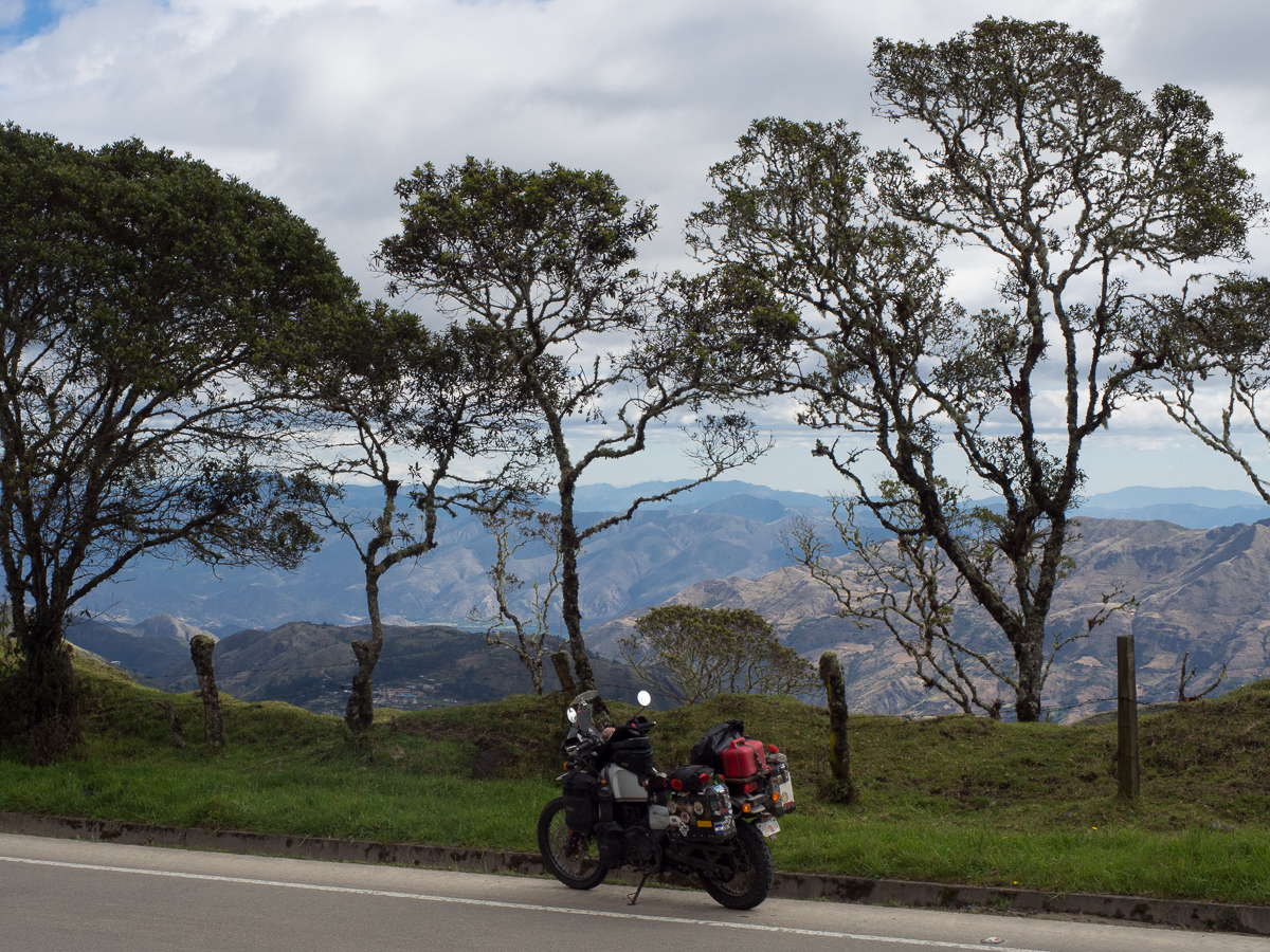
For the second day now Gid has checked the route profile before choosing clothes – up and down ranging up to 3700m with an average altitude of 2761m – snow possible at night on the higher ground. On the chilly side then but we’re getting used to it.  We hadn’t expected to get so cold when on the equator but soon realised that around 3000m high we were feeling chilly but drop back down to 2000m and potentially the extra clothing would need to come off.

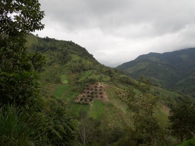
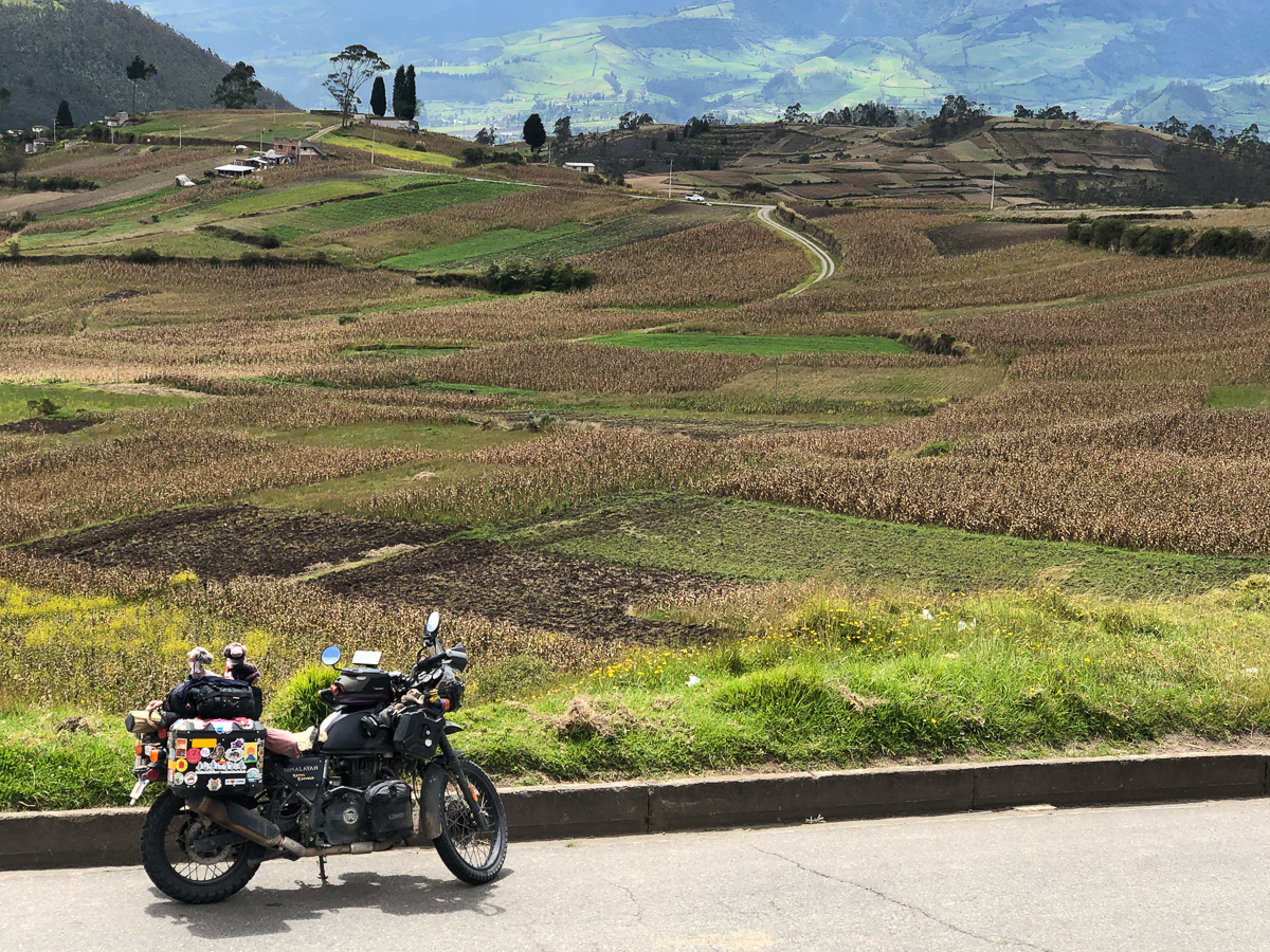
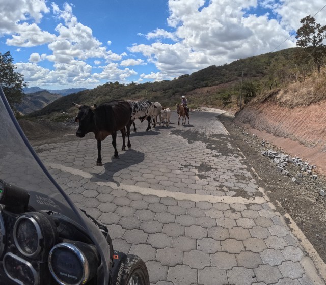
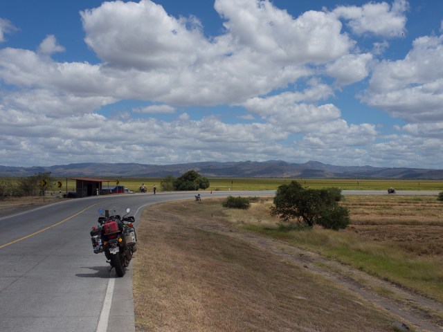
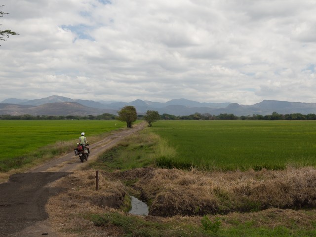
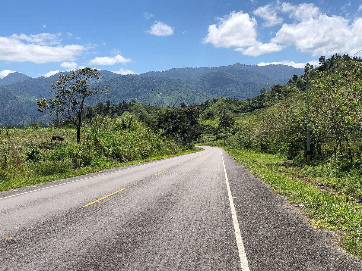
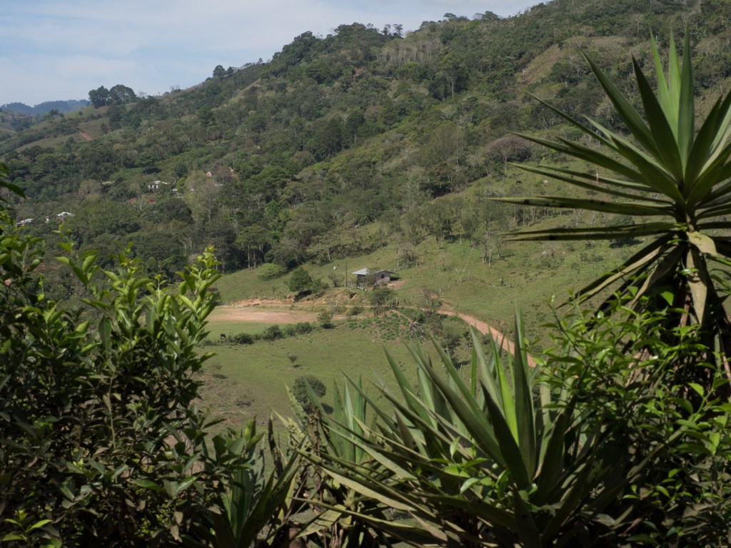
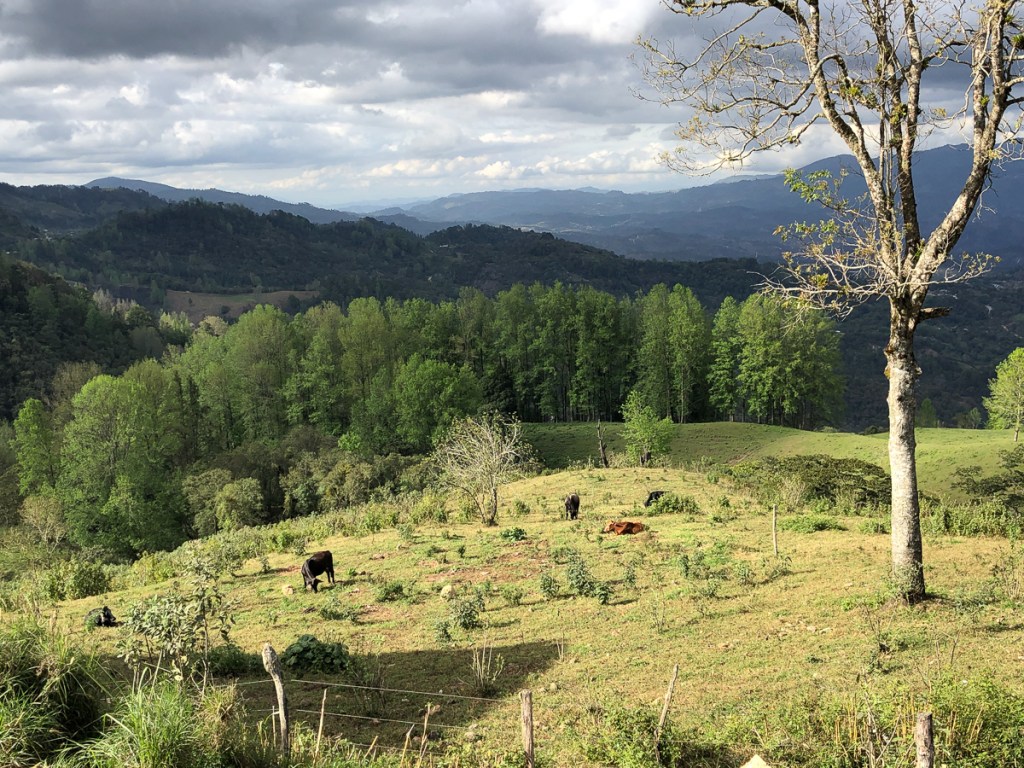
Heading further down through Ecuador we were back on the E35, the PanAmerican Highway.  Around the bigger towns it was a tedious four lane dual carriageway, although the traffic moved fairly quickly when not jammed up in queues.  Once clear of the towns it was a very pleasant winding road with a reliable good surface and sweeping bends. Our Hims could hardly rise to the occasion of speedy sweeping, for some knee-down corners.  The views were equally impressive with panoramic manicured pastures, cows, some hedges and enough trees to maintain a rural image. It could have been the Yorkshire Dales in England so cultivated it was.

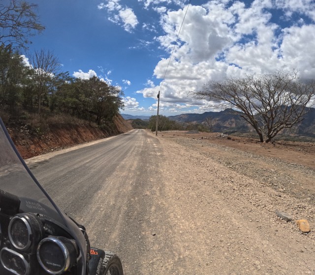
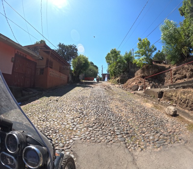
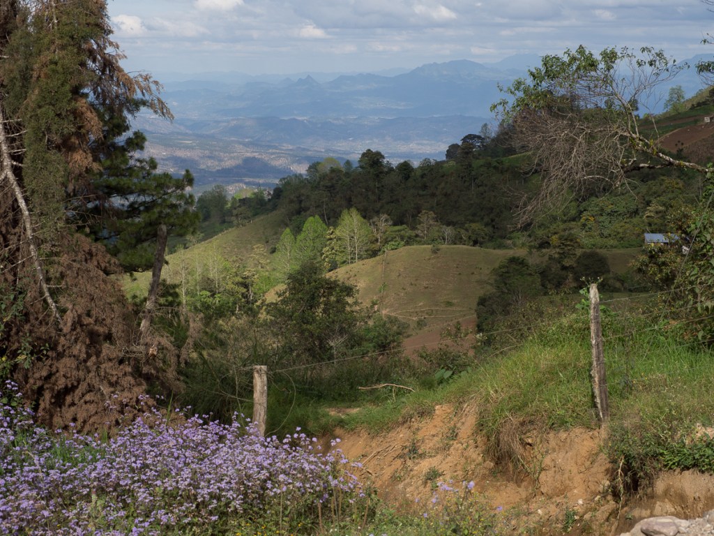
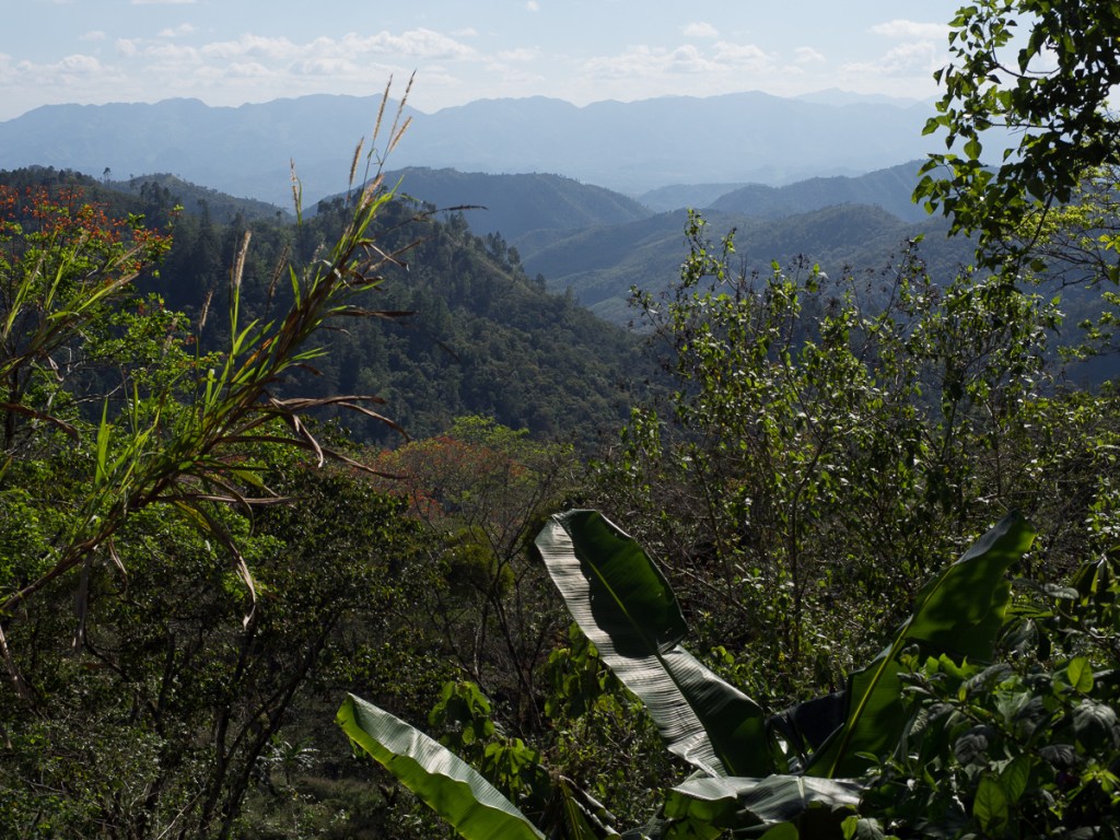
Our border crossing of choice was La Balsa.  It’s small with a minor mountain road approaching it. The road was metalled for the first half. That’s when it wasn’t blocked with land slides or just disintegrated into dirt/mud or collapsed away beneath the edge leaving gaps along the carriageway. The second half was dirt road but is narrower and probably in a better condition. Once again the views have been spectacular.  Recessions disappearing into the distance. Deep valleys carved by mountain rivers.  A final army checkpoint just before the steep ascent along a mountain ridge before a wiggly, and loose descent to the border hamlet. 

La Balsa was the best kind of border crossing. The dusty main street contained an equally dusty pickup and a few sleeping dogs. The pickup was noticeably better parked than the dogs. Time lapse photo frames would have been distinguished by the chickens being in different positions.  We stopped at the last, open sided, building.  An amiable policeman ambled out, gestured “park here”, and pointed us to the discreet immigration office.  A few minutes wait, and the solitary official did his bit, stamping our passports.  When we emerged, a full-sized coach emblazoned with a university logo was pulling in after descending the same twiddly dirt road – we’d got through immigration just before its 40 estudiantes!  We had to ask for the Aduana (customs) office, and there it was, shuttered.  Oh – 10am on a Saturday.  Next door said, ‘He might be in the restaurante, or asleep’.  Let’s try the restaurante.  We went back to ask our helpful policeman.  He grinned, and pointed to the young fatigued hombre sharing his table.  A few minutes later, TIPs cancelled, we trundled over the bridge to the Peruvian side.  Which had much newer, neater, bigger buildings, but was fundamentally the same.  There were more travellers here for the equally few and friendly officials to process, but we were still clear of the estudiantes, and after an hour or two we were rolling in Peru, land of the Incas and Paddington Bear!

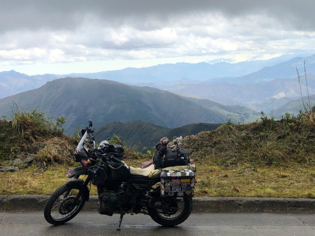
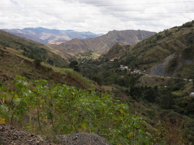
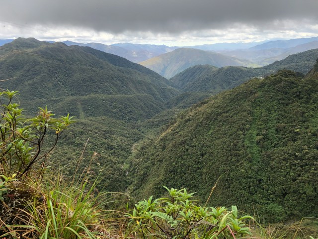
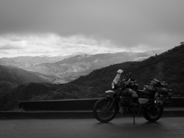
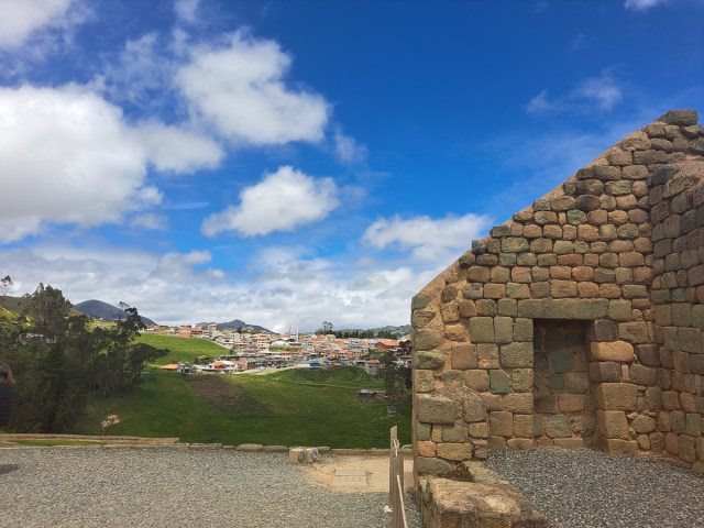
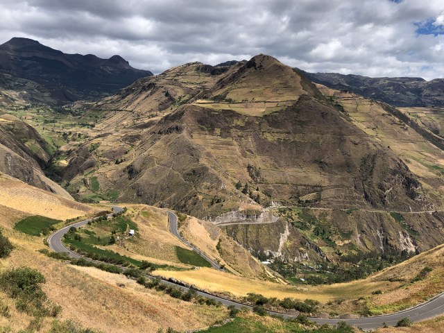
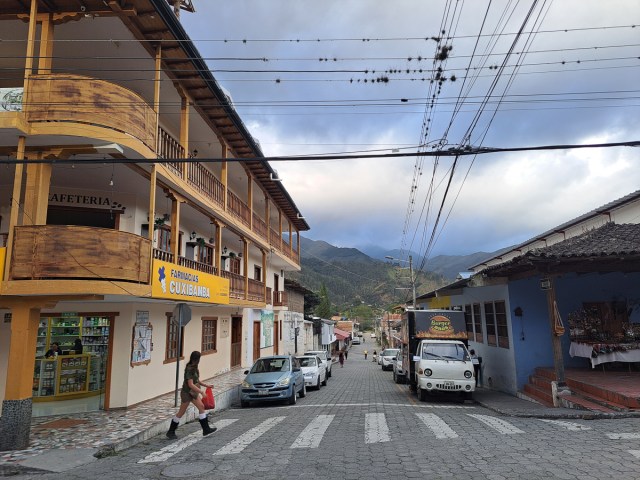
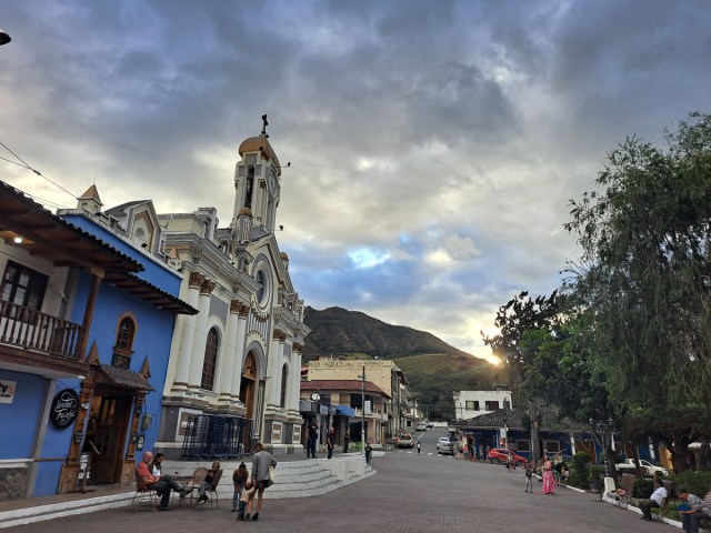
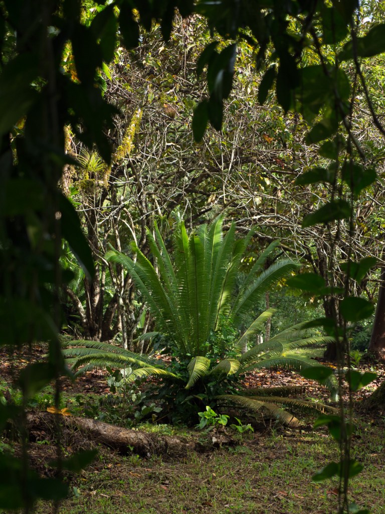
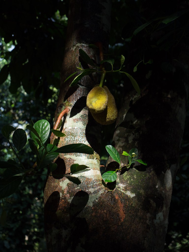
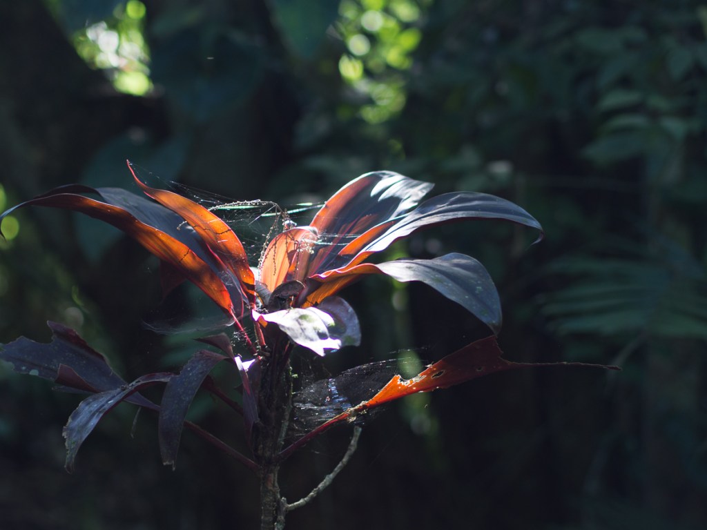
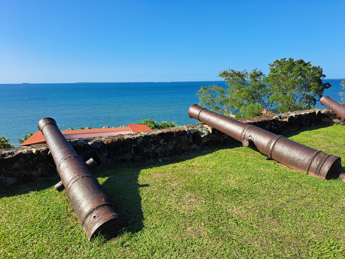
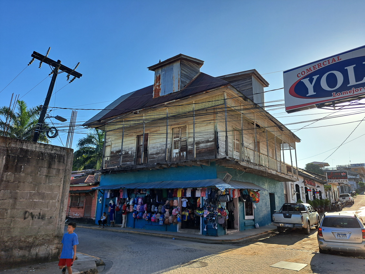
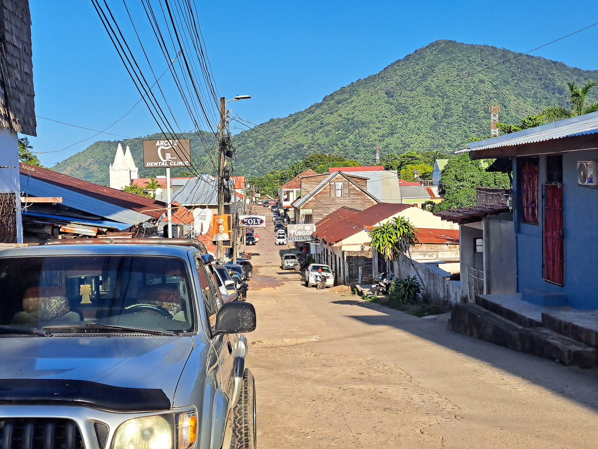
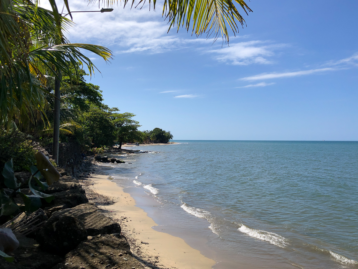
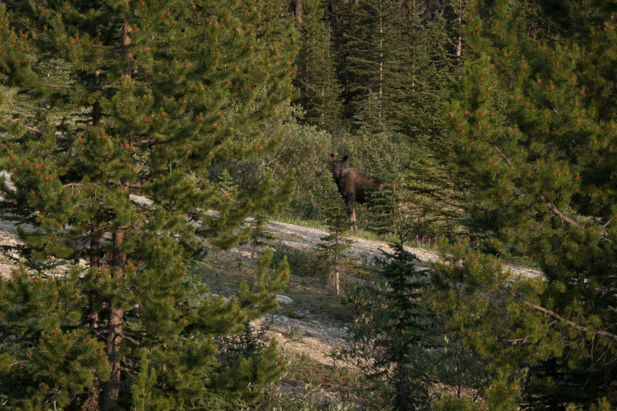
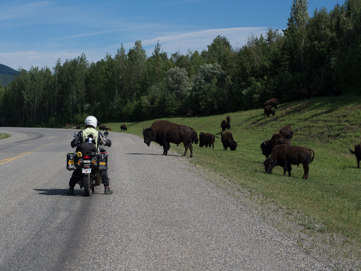
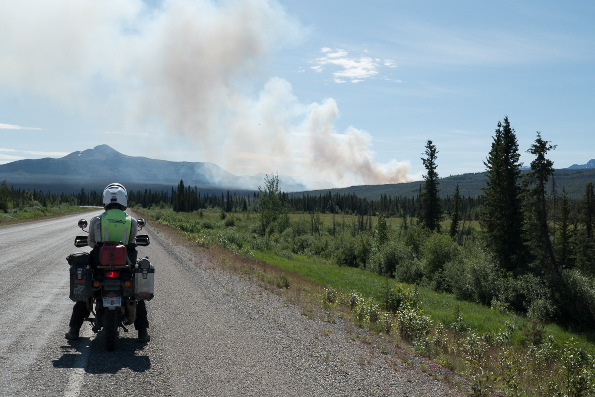
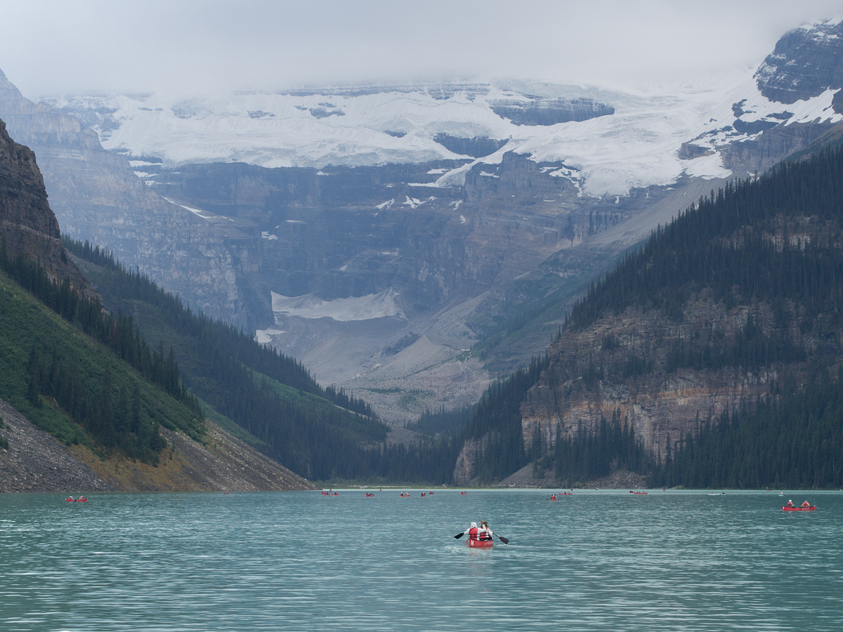
A few final pictures:

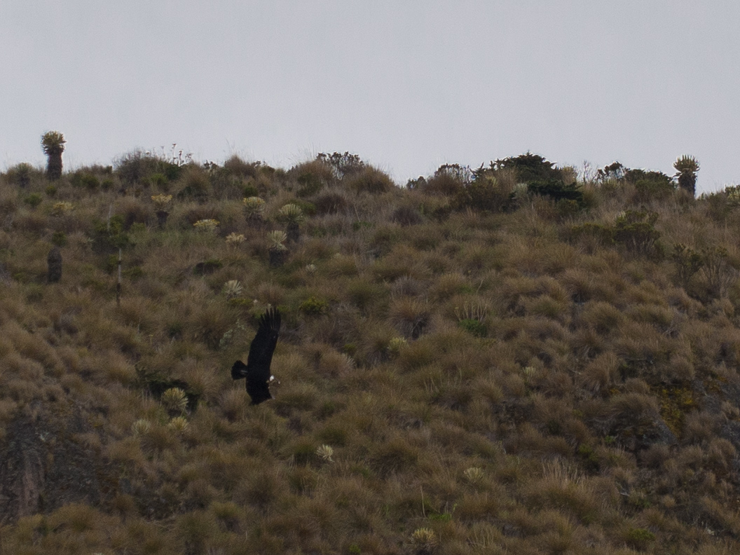
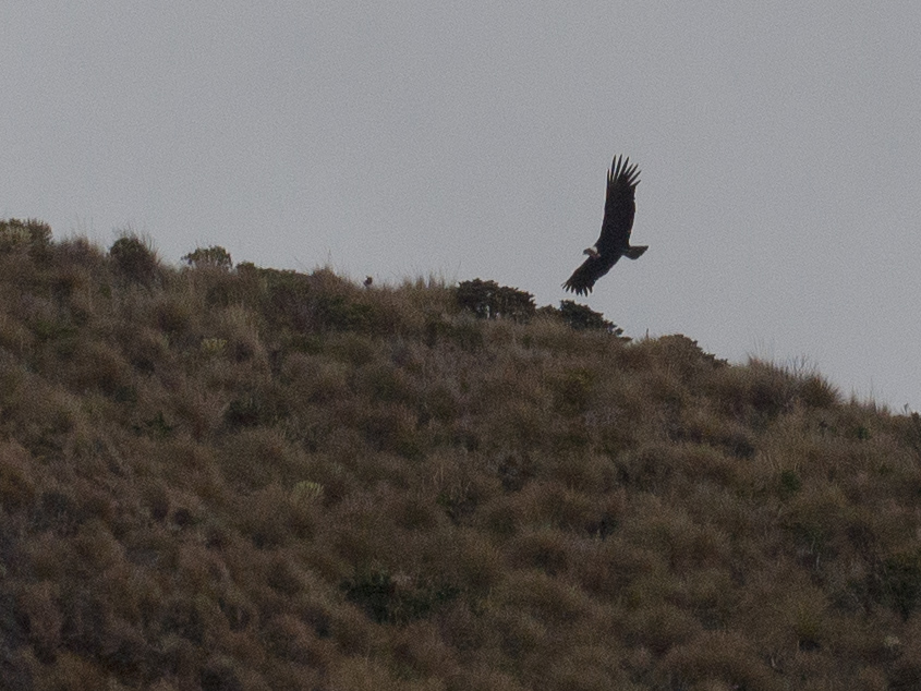
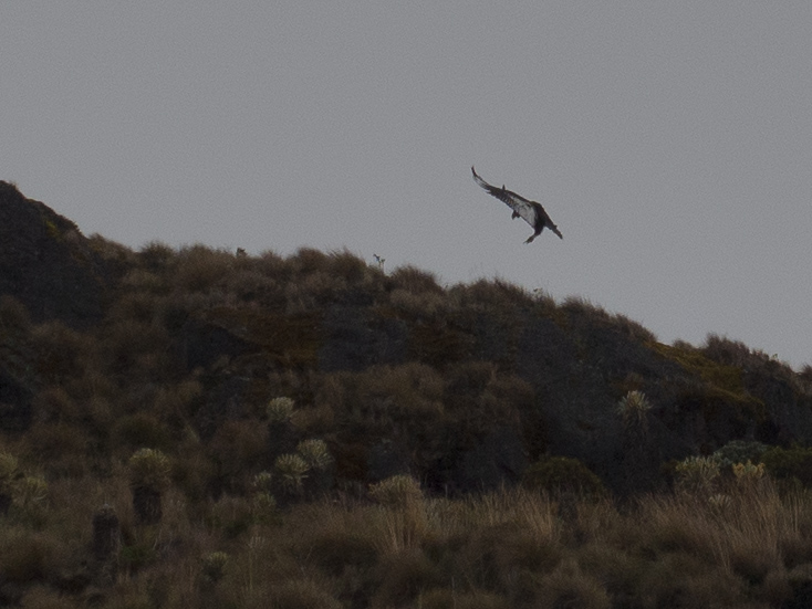
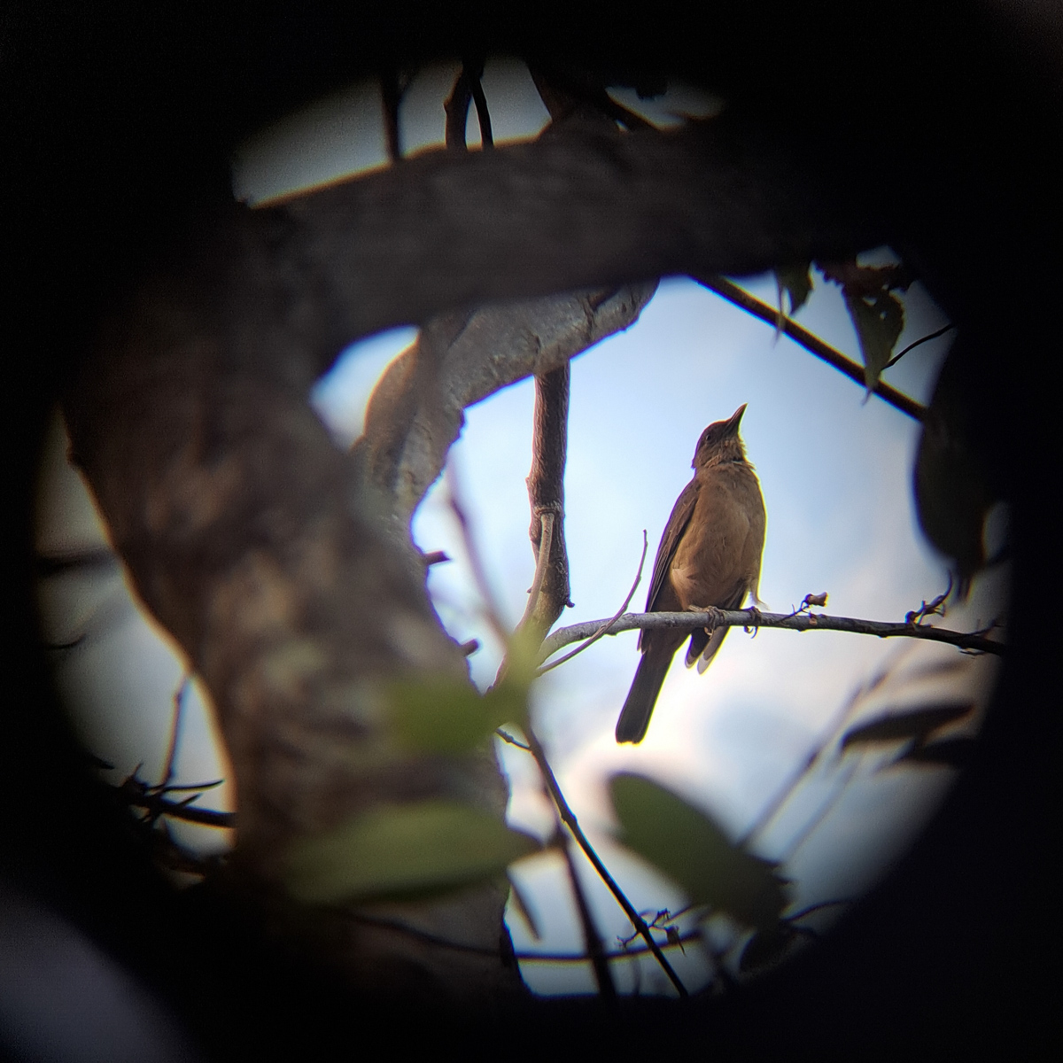
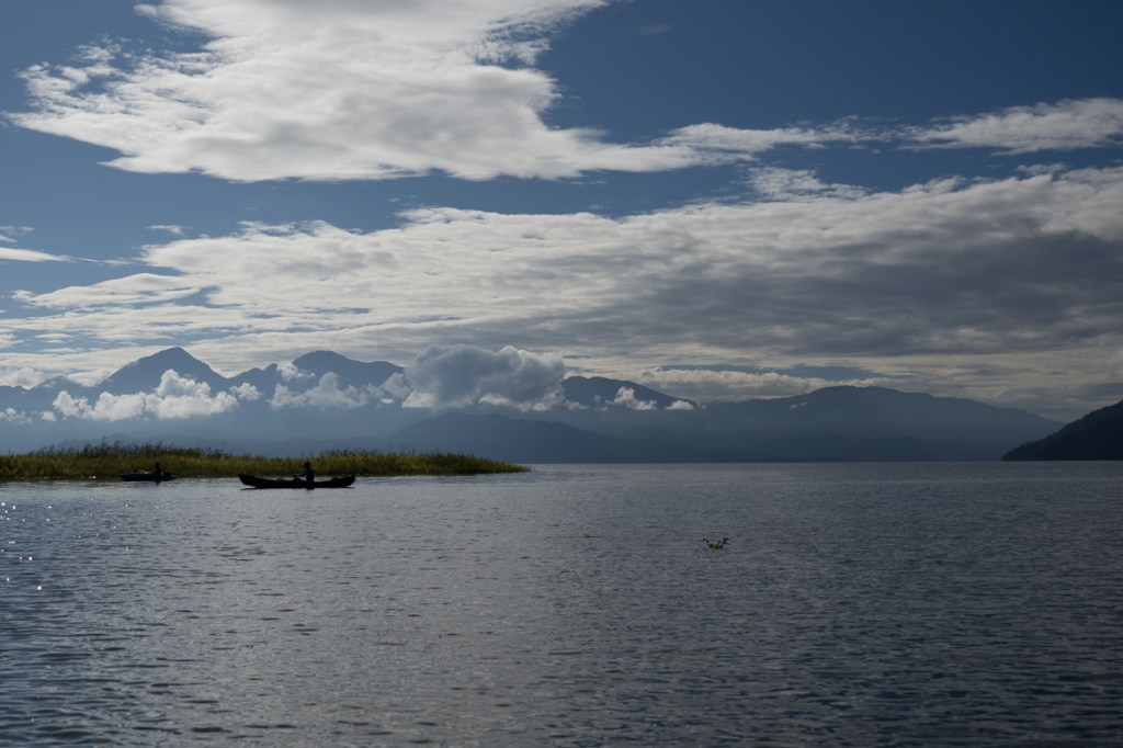
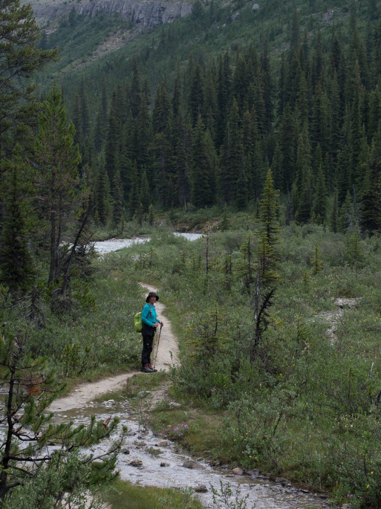
On a hike to Lago Otun in Colombia, we were lucky enough to see a brace of Andean Condors!

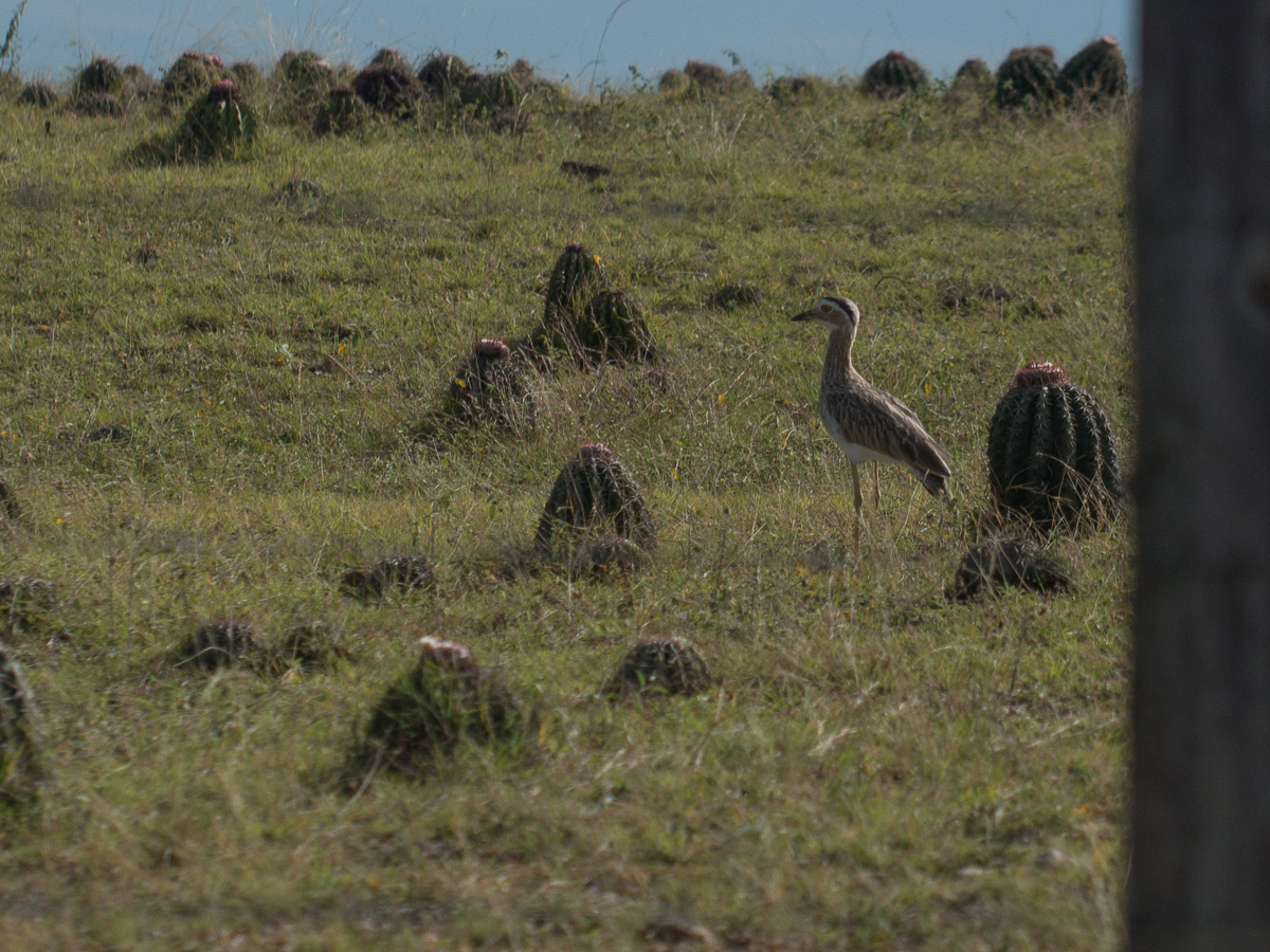
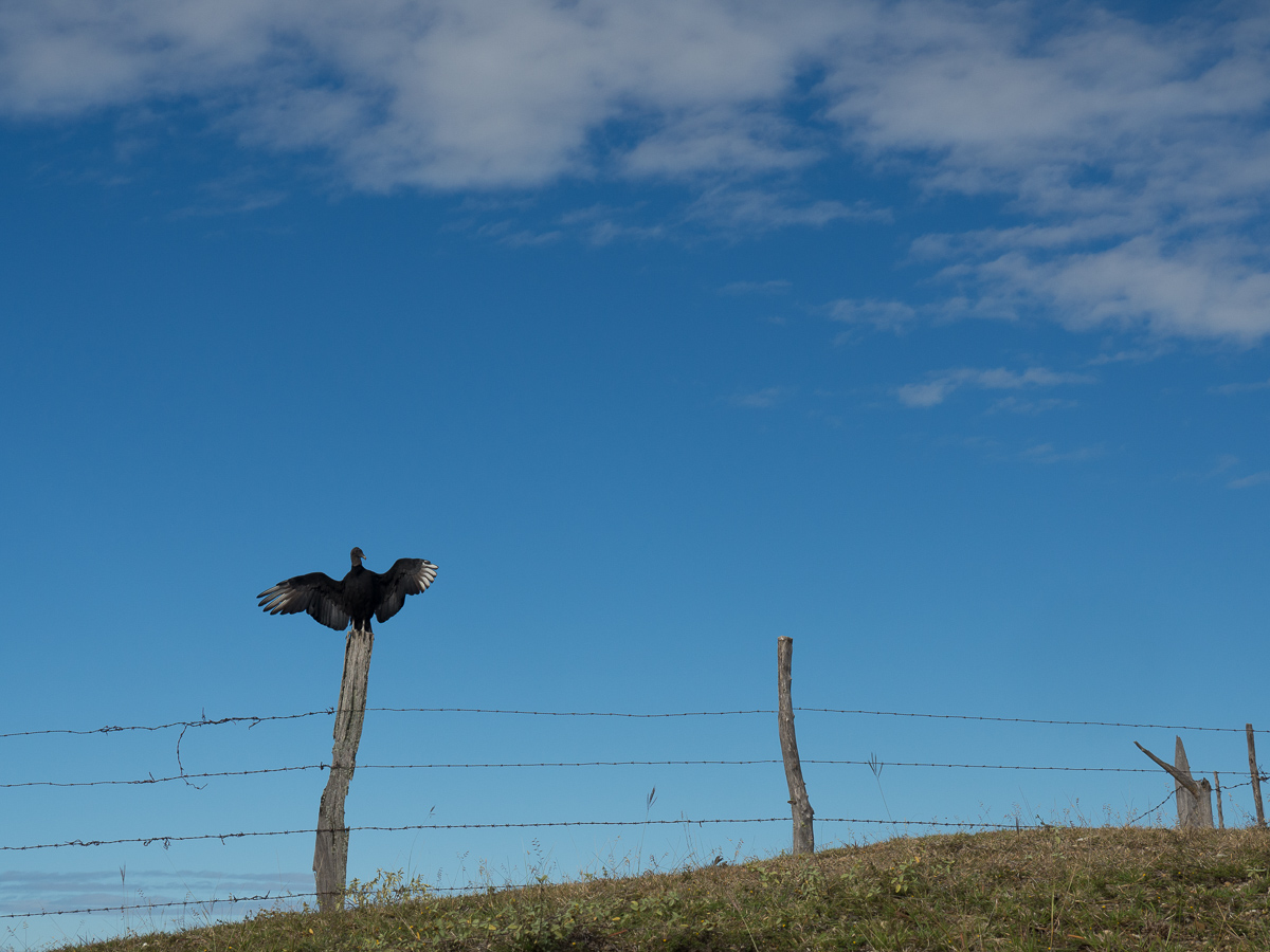
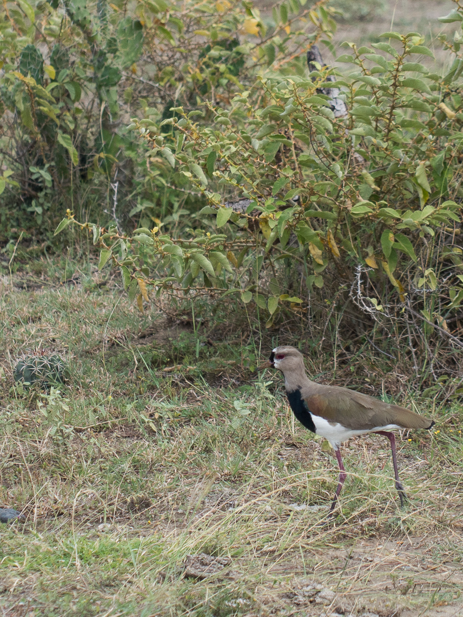
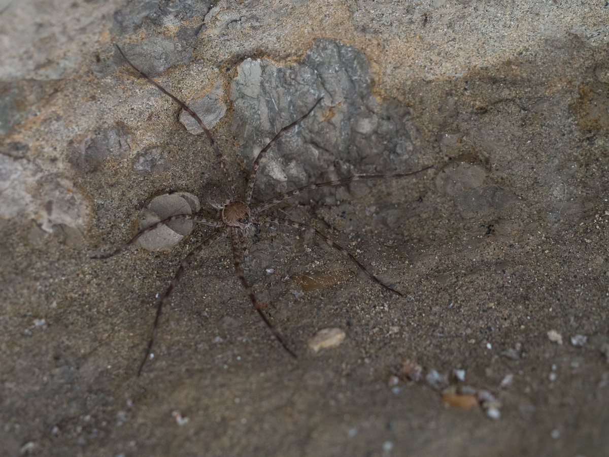
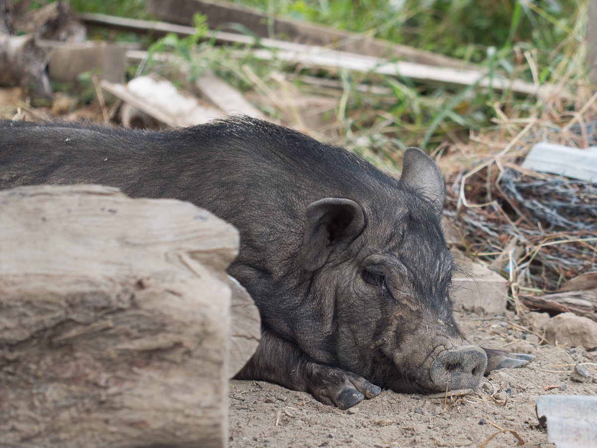
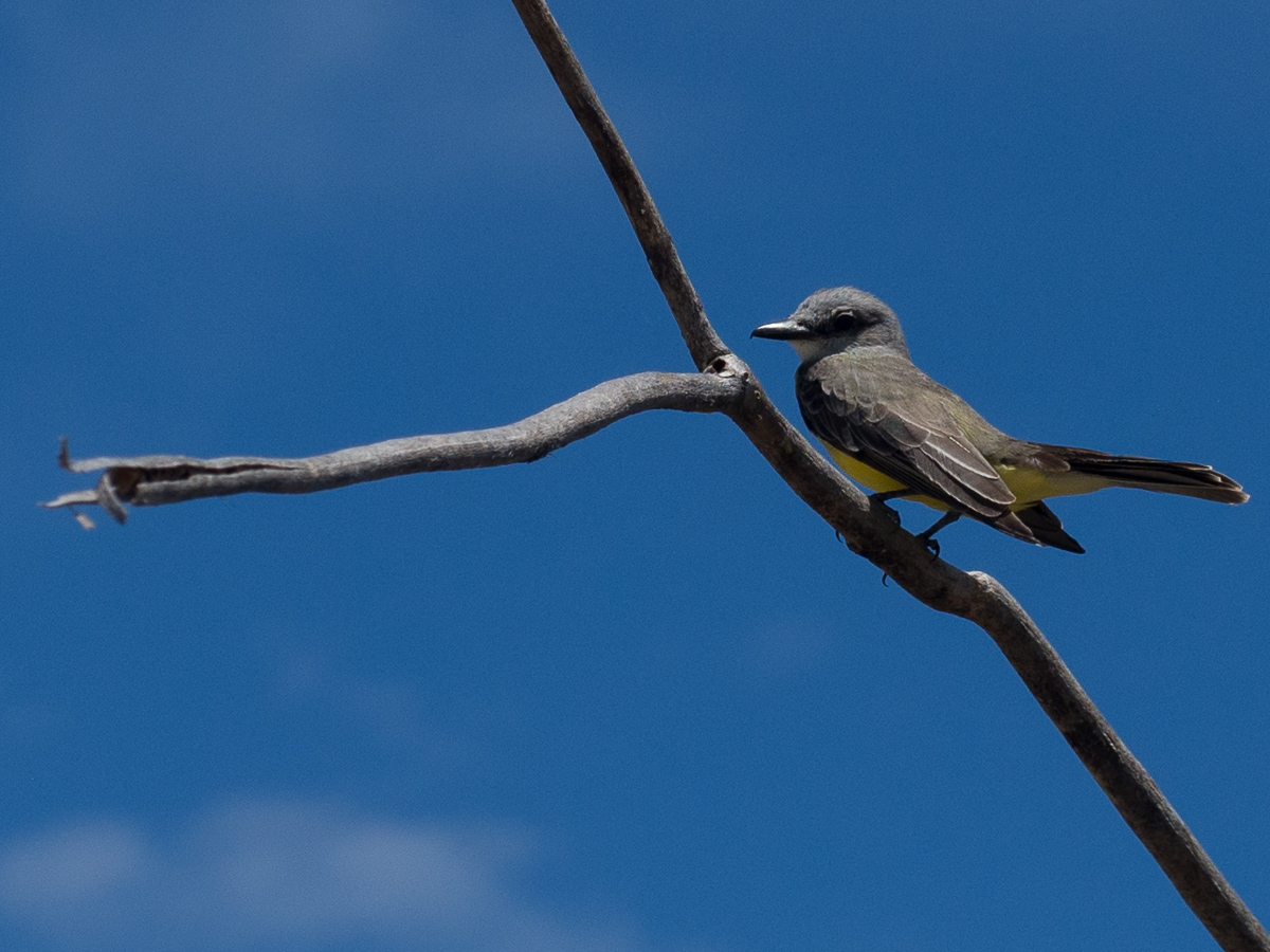
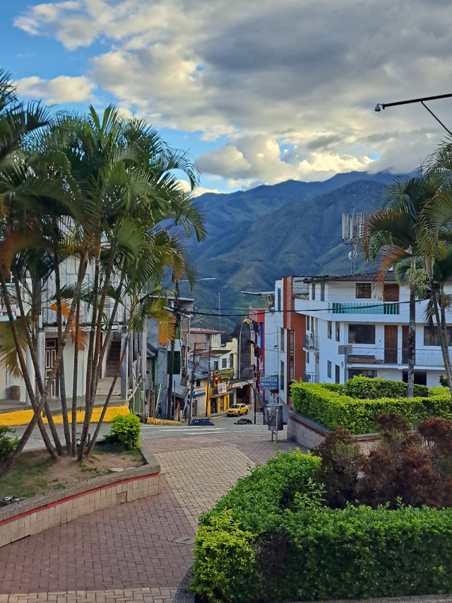
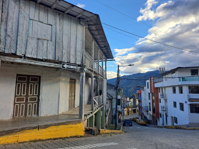
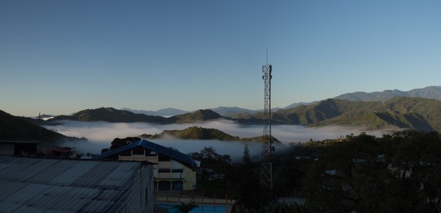
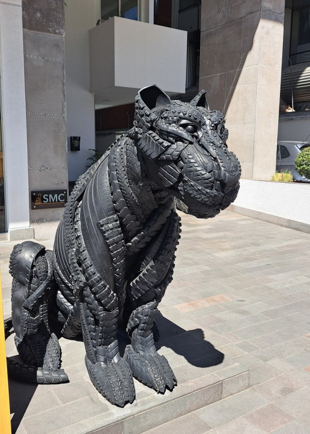
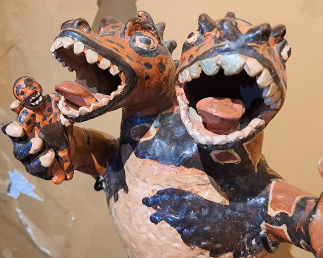
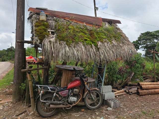
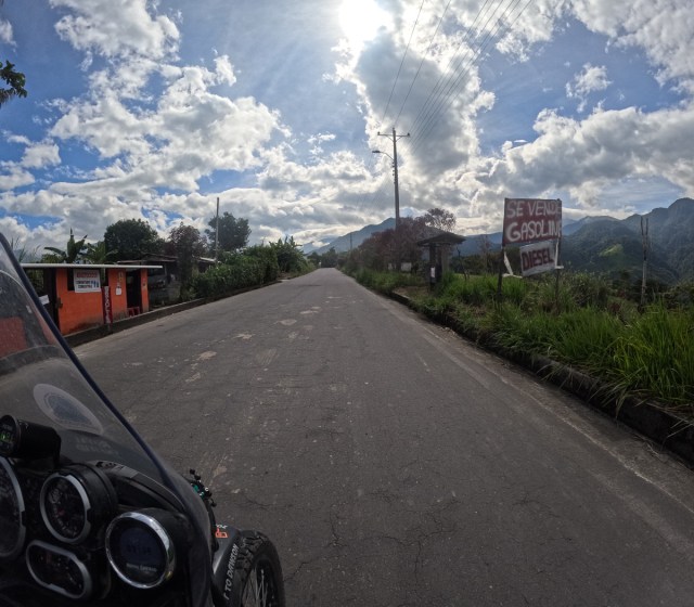
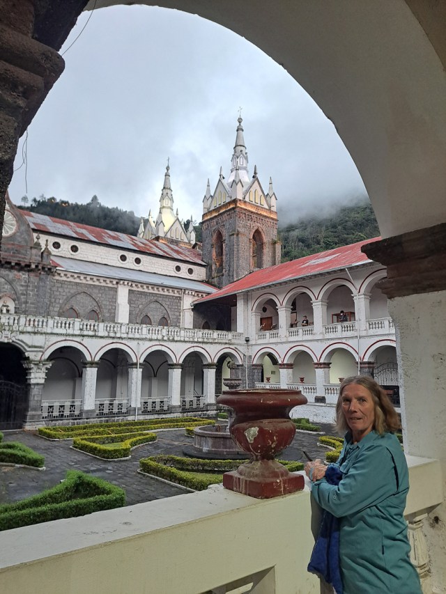
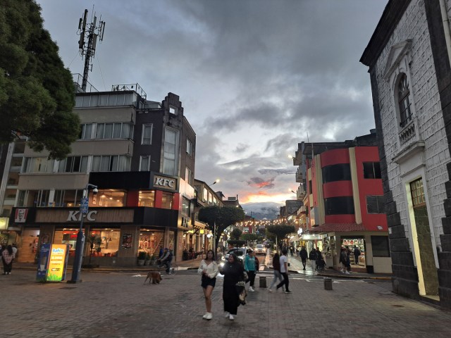
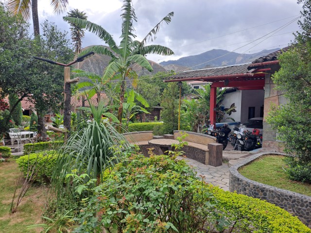
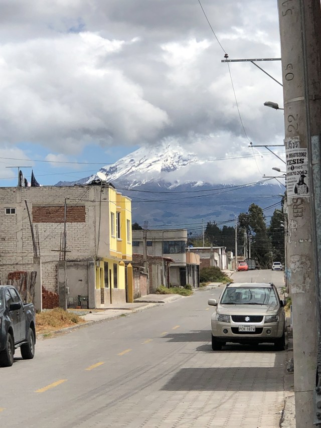
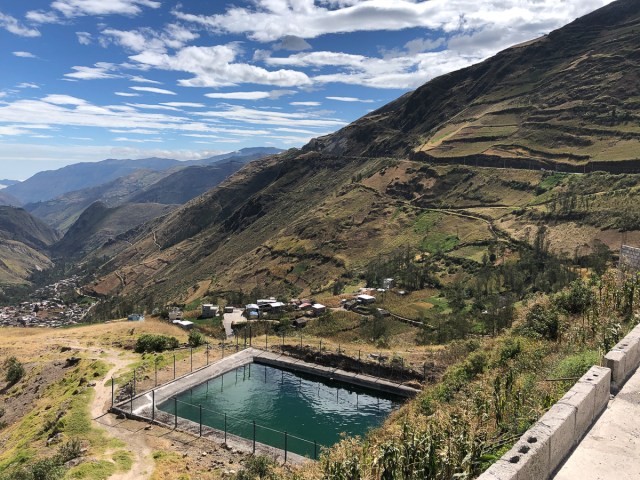
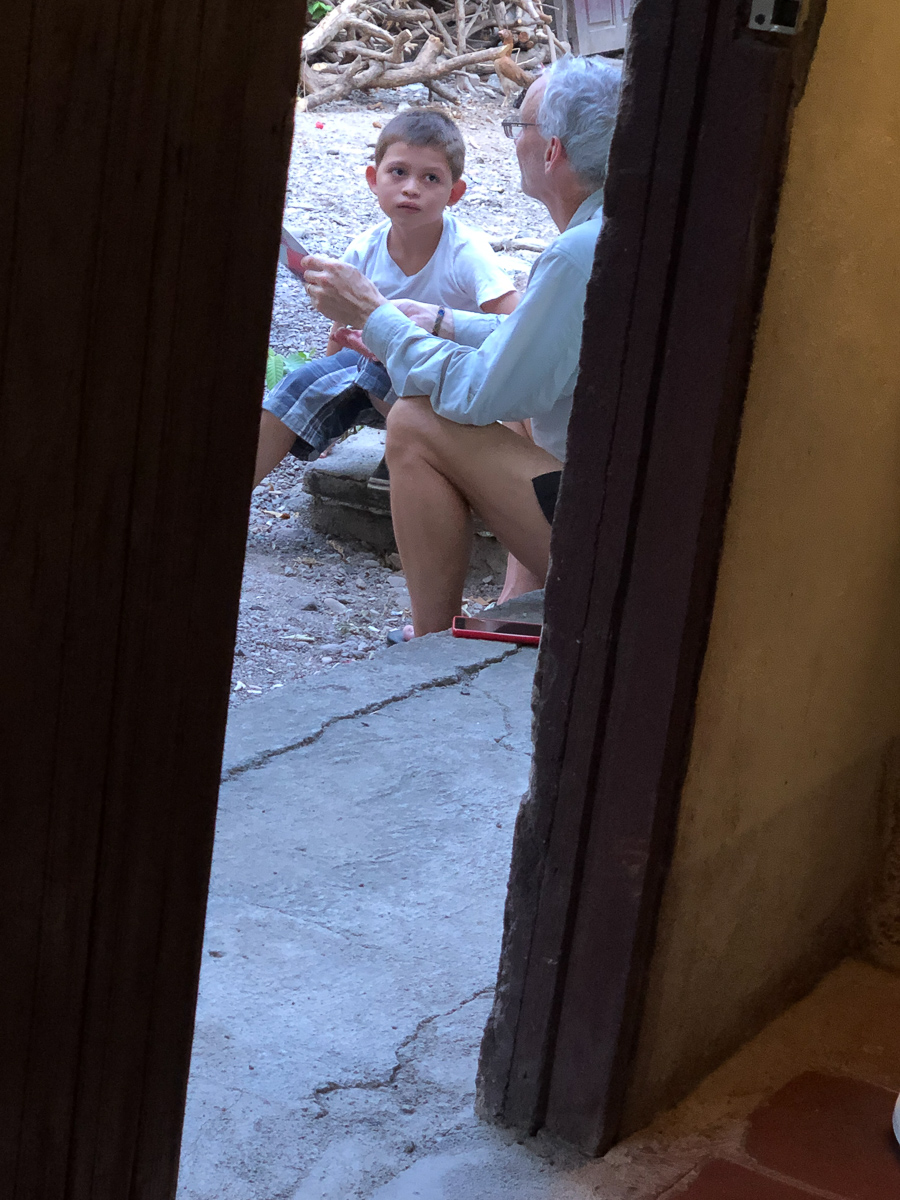
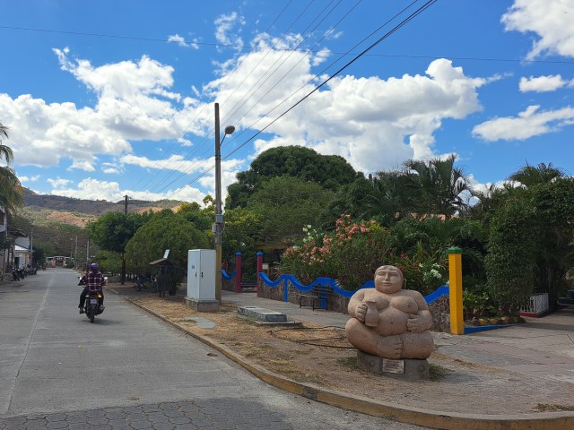
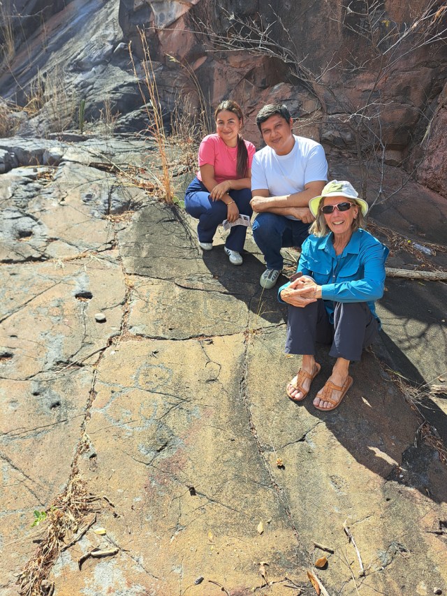
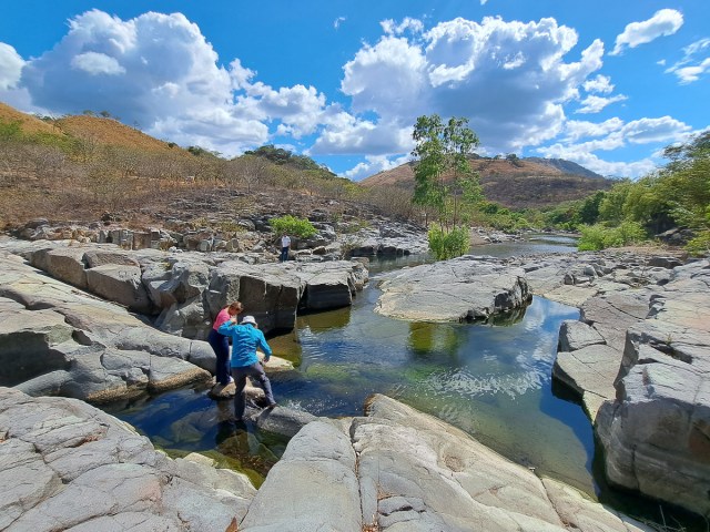
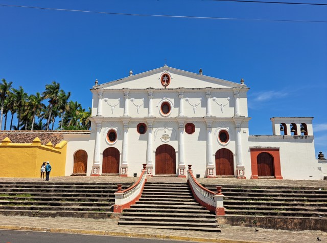
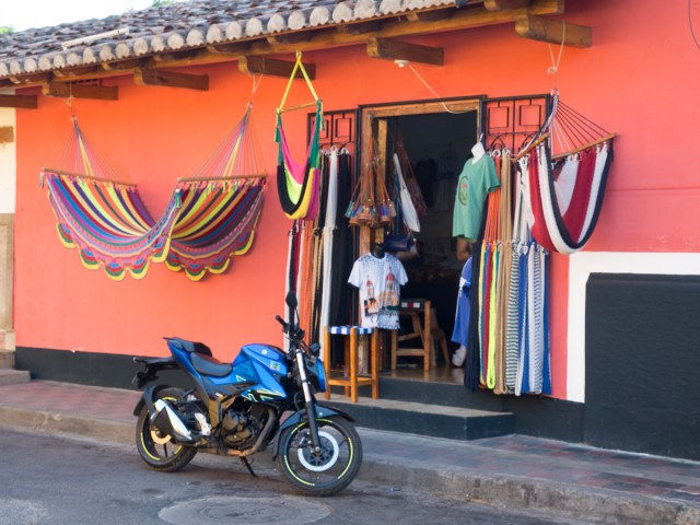
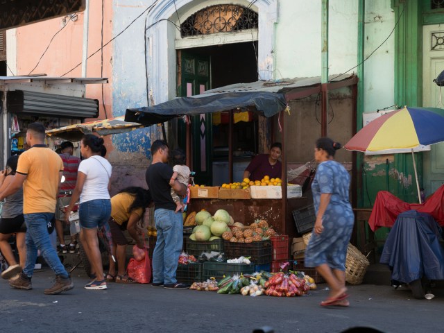
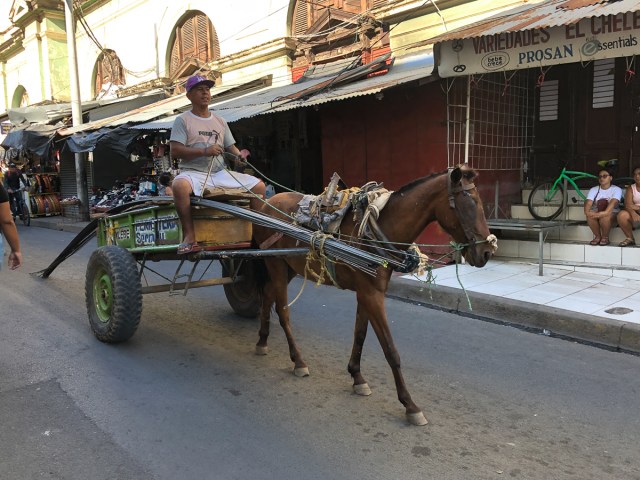
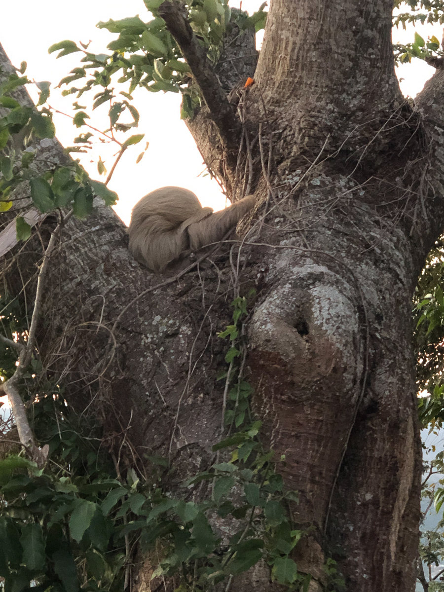
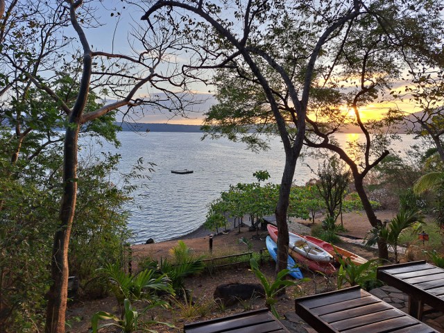
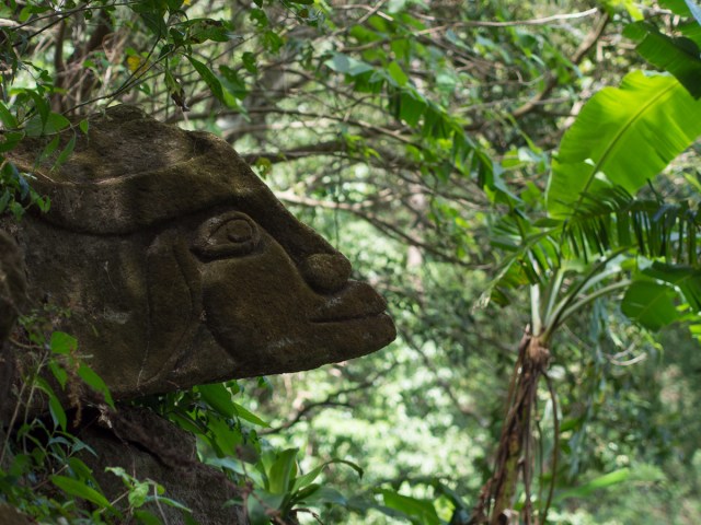
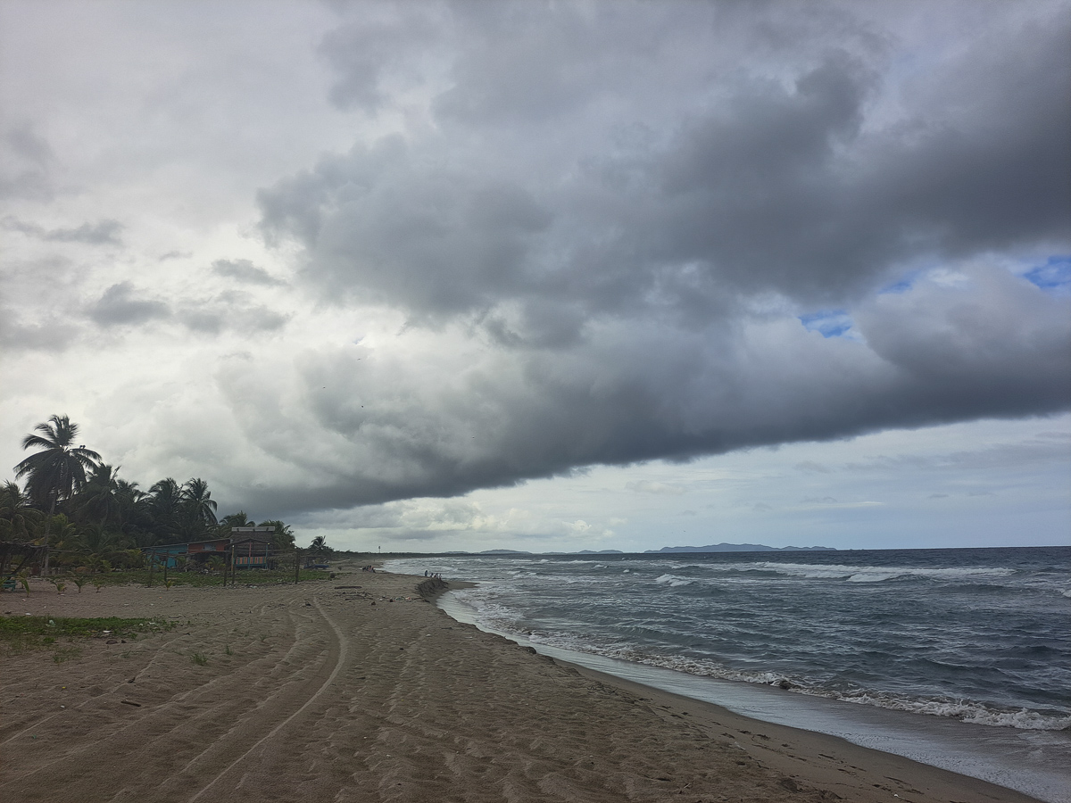
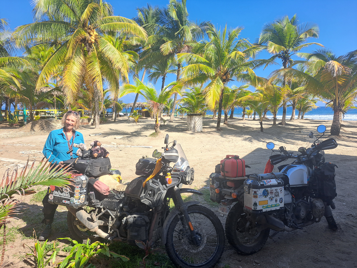
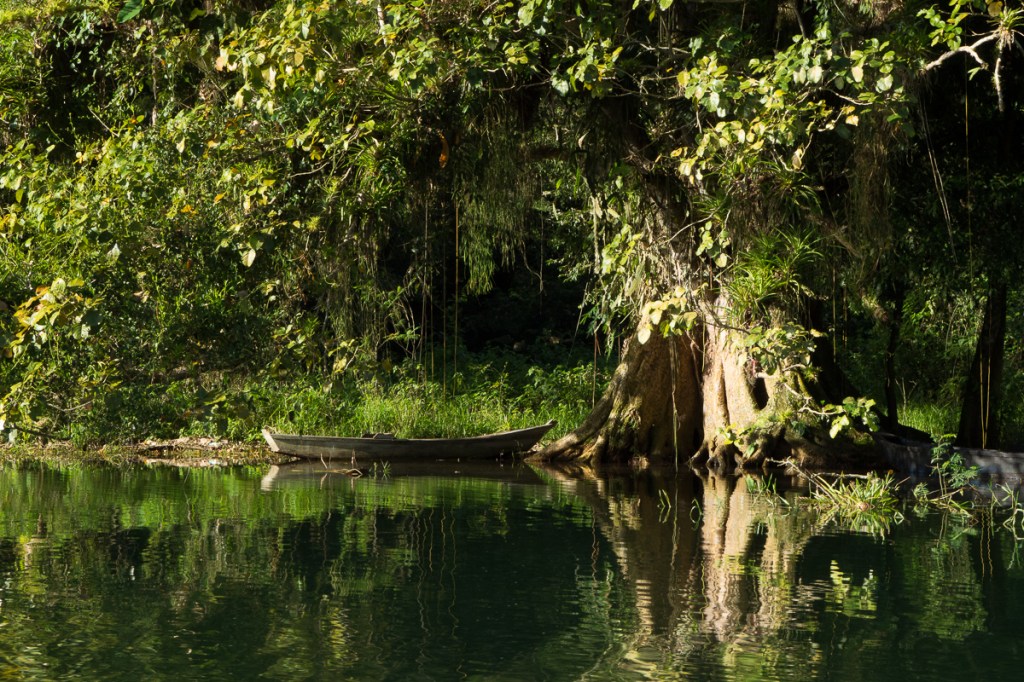
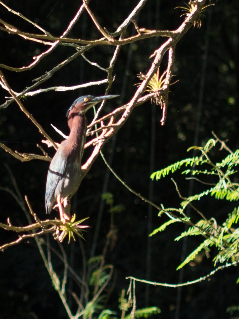
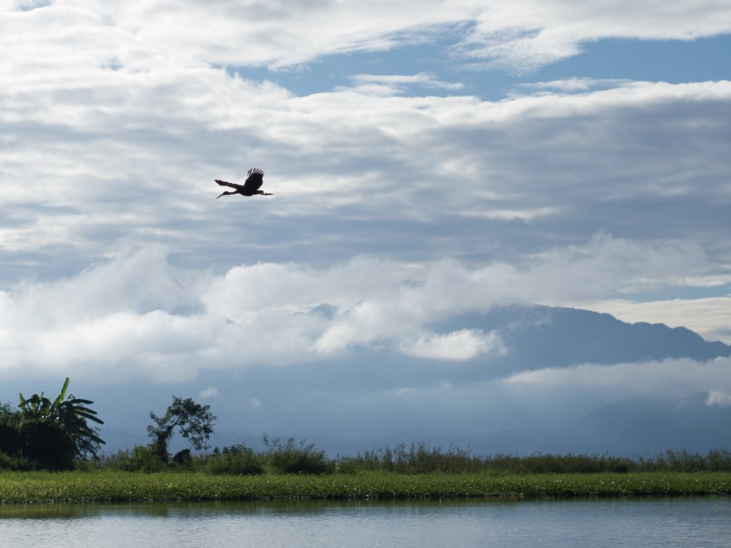
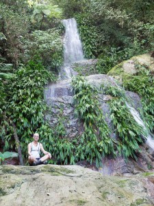
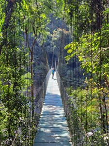
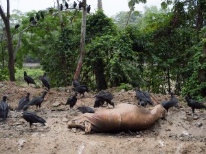
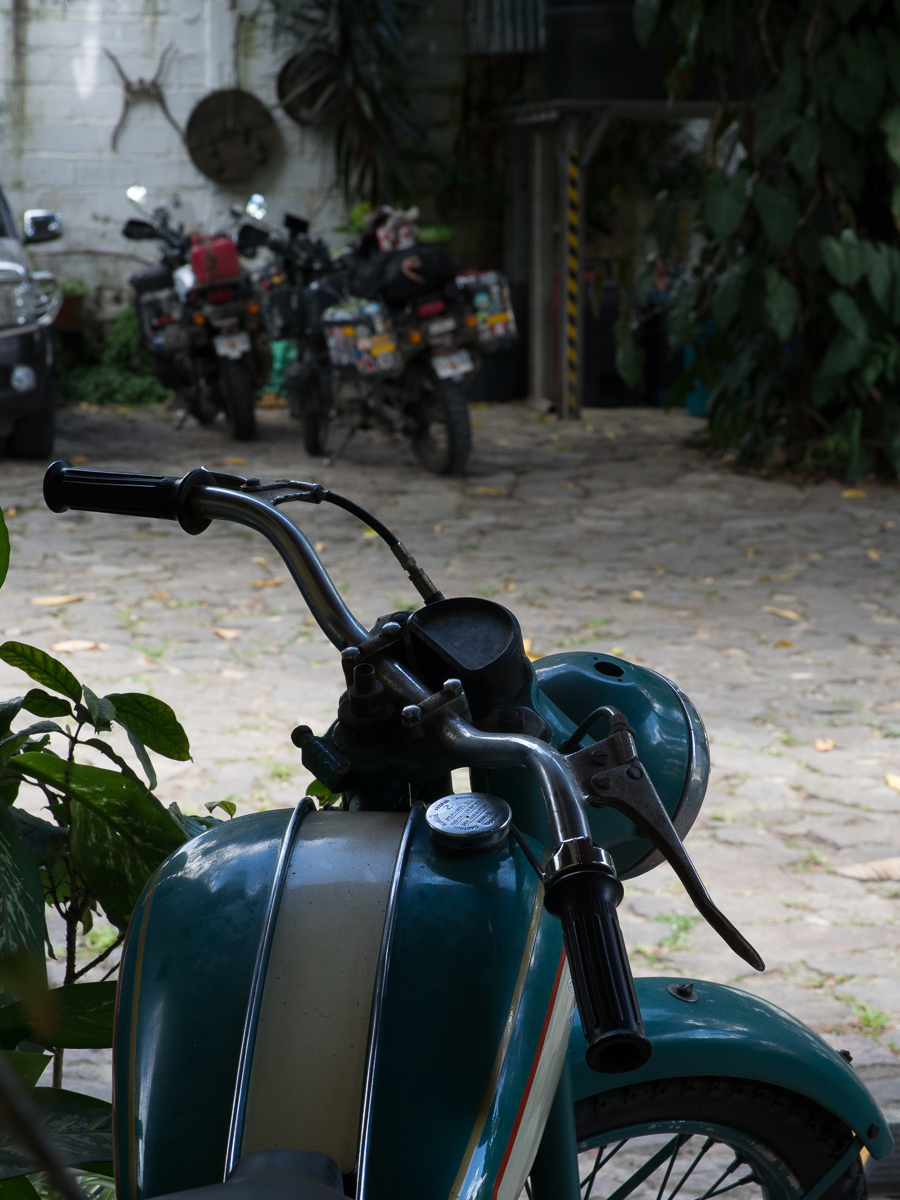
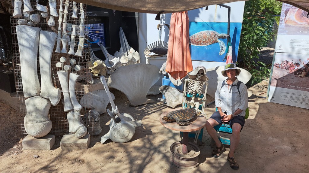
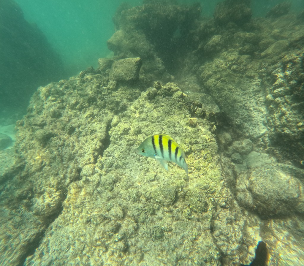
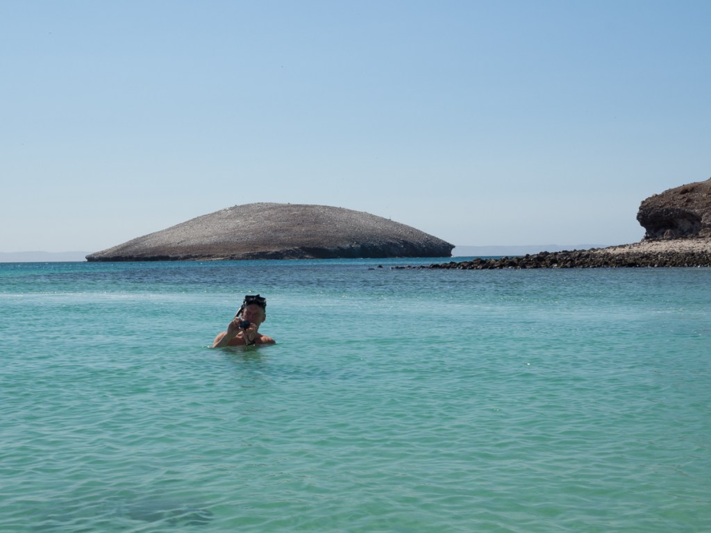
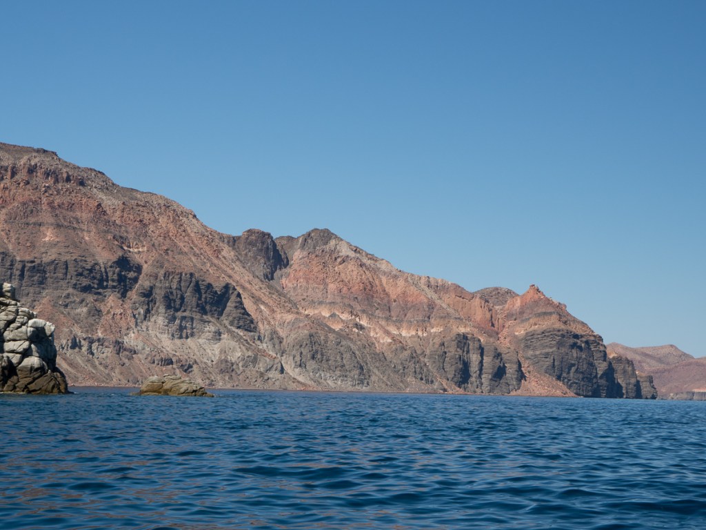
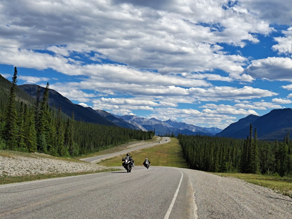
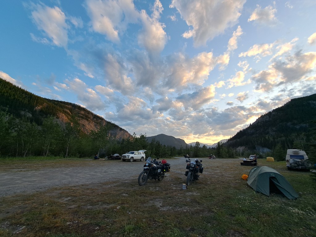
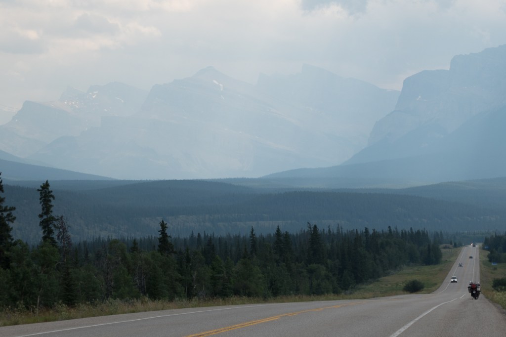
And an ad-hoc selection of photos from both countries:

  • Cat (jaguar?) made of old tyres.

Nicaragua – Land of Shadows

I was a little anxious about entering Nicaragua.  In my mind, fed by various perhaps out of date articles, Nicaragua was going to be more lawless and therefore more dangerous to be in.  There are tales that the police are even more corrupt than usual. Both threats have been with us since entering Mexico. So far, either the reports are wrong, or we’ve been lucky.  But, we have seen more road accidents in Central America than we have ever before.

The Honduras-Nicaragua border crossing was particularly tedious and rather exasperating as we had to stop here then there and no one told us about the over there.  Having had our documents checked at one oficina and told now you can go that should have been  ‘now you can go over there to the next stage’.  Gid is very thorough at researching the requirements for each border crossing and not to be fobbed off, but even he didn’t foresee the number of times Nicaragua would check each document.  There were about 7 stages!  Regis, a fellow traveller we met in Leon told of how he was fined while exiting Honduras when imigracion saw that his entry documentation wasn’t properly stamped.  He had been illegal and had to pay the fine of $250 but only had $230.  He had to wait until a fellow French traveller baled him out!  Although we’ve done plenty of borders before, these are remarkably long winded, and it’s our first trip combining tedious borders with motorcycle import permits, really hot weather – and motorcycle clothing. We melt.

From a border we usually plan to stop pretty soon after, but the pueblo of Condega was out of rooms – “Convencion” – so we rode on along the main NIC1 highway to Esteli, to kip in a windowless concrete box with free condoms.  Our actual destination was San Juan de Limay, the nearest town to petroglyphs marked on the map but it was getting a bit late for that rather uncertain route.  We wanted to settle into the country before setting off on potentially rough tracks and start earlier in the day. 

From Esteli there appeared to be a route cross-country but the advice was not to take this ‘short cut’ because of the potential for problems crossing the multiple rivers! We looped back north and round. The paper map showed the NIC38 as mostly dirt road, but OpenStreetMap said it was fairly major.  We turned onto a laid block surface which I had expected to revert back to dirt once out of the town but that wasn’t the case.  In the main it was a beautiful rural road all the way with fab views where we could actually stop and take a few photos, if we lifted our eyes above the endless twists and turns through the hills.

Our arrival at San Juan de Limay was quite amusing. It’s a small rural town, no tourist hotspot.  Gid had found three guest houses online but when we arrived the first didn’t seem to exist. We headed for the Parque Central to get our bearings in the town.  Pausing outside the Museo de la Revolution, to Gid’s annoyance I went in.  What were they going to tell me in there he was saying.  The very helpful young lady understood enough of what I was trying to explain.  She shut up shop and led us around the town on her trailie. The first two accommodations fell flat as they were full.  The third place we visited was still running and had space.  We’d never have found it – hospedage – lodging house – was badly spray painted on the gatepost .  This was it then.  I went to look at the room in a block that could have been the old stables out the back of the family house.  I came out in fits of laughter.  Gid was appalled at how rude that was but it bought new meaning to en-suite.  The room was small.  No problem there but it consisted of a bed and folding chair, a fan and a shower/toilet trough.  No towel, no sheet, no soap, NO TOILET PAPER, no door lock.  The sink was communal with a wash board and trough in front of the rooms.  They all caused us some amusement.  The shower head was at the top of a pipe as you’d expect but the slightest turn of the faucet and the head catapulted forwards spraying a gush of water over the gutter right onto Gid’s kit.  More hilarity but the cacophony that started at 4:15 was definitely a groan.  Our two cockerels were trying to wake the neighbour.   Any disturbance in the brood resulted in an almighty thud on the corrugated tin roof that was suspended above our walls.  To use the one socket in the room was a balancing act but it did the trick – we had a cup of tea in the morning.

Having settled in we set off in sloppy sandals to see what we could find out about trips to the petroglyphs.  The town hall seemed a suitable place to start our enquires.  A rather grand name for an old single story building with a few offices.  The guard patrolling outside suggested the end door was the way to go.  He took us down there and spoke to the staff.  One very kind lady came out to check what it was we wanted and asked us to wait in the main entrance.  Thirty minutes later we were off!  They didn’t check whether it was possible but had arranged it there and then.  Five of us – three staff and the two of us, piled into the 4WD Toyota Hilux.  The lady passed us a leaflet of gordas – stone fat lady carvings that can be found around the town and local area.  I thought we were off to see some of these but no.  We took a back road out of the town and bounced along a dirt track, forded a small river and finally stopped at a pool.  The driver stayed put but the rest of us piled out and set off on foot clambering over rocks to cross the water flow.  What were we doing in flimsy footwear with not a camera between us?  Benito, the main guide, led the way and swept the debris off the few petroglyphs.  The young lady was new to the carvings too but was at least wearing trainers. Our return route was adorned with stops at a couple of local craft places – what a lovely day!

I had expected to move quickly through Nicaragua but in fact it has been the opposite.  Spurred on by near perfect road surfaces (everything is relative) and the relaxed nature of the people it’s been a pleasure to be here.  As always the people we meet and their recommendations of must see this or that has helped to forge our plans.

At Leon, our first stop after the petroglyphs, we stayed at Casa Lula hostel and bonded well with a lovely group of experienced travellers.  No one was in a rush, tales were exchanged, must visits suggested. The luxury hostel was a comfortable contrast to the Esteli condom box and Limay hospedage. A guided tour of the town very much focused on the revolution despite there being some lovely architecture too.  That isn’t so surprising as all the murals were of scenes from the revolution.  It may have been forty years ago but some murals were reworked as recently as six months ago to keep their political message fresh. Our guide, Antonio, explained the events portrayed and also some of the symbology.  Many of the characters (the deceased ones?) were painted with prominent shadows, and these represented their effects on Nicaraguan society and politics after their – mostly premature – deaths. Leon is Nicaragua’s intellectual – and revolutionary – hub, and while there were a fair few tourists, they didn’t swamp the place as they had in, say, Antigua, Guatemala.

One’s never far from politics anywhere in Nicaragua – red and black FSLN banners are everywhere, and on some roads I noted all the electricity poles were painted in the colours, too. It feels a bit one party state, although formally, it isn’t.

Thankfully our hostel host was interested in our petroglyphs excursion and pleased that we’d gone off the beaten track.  He lamented that most tourists hit the west coast going straight down the main road and out the other end.  ‘It’s such a pity,’ he said, ‘as Nicaragua has so much to offer and is a very safe place.’  Our horizons were expanding!  Nicaragua is one of the poorest countries in Central America, but also unusually – kind of – socialist. It’s also, currently, not terribly democratic. Some effects of this might be the lower murder rate, far fewer visible guns, the better highways, the better driving, the much greater use of beasts of burden, and the worst housing we’ve seen on this trip. Plus the curious phenomena of being begged by a chap who was fitted with a pacemaker – But then, since Belize, the Caribbean coast has offered a uniquely stylish form of begging.

No matter where our new routing may take us Granada, just down from Leon, was next.  It’s the oldest city in Central America, with elegant buildings and lots of history. So it’s a must see destination and indeed is a very touristy town. It has a lovely promenade to edge Lake Nicaragua, and a small pier.  We stayed near the lake but were warned to go further along the shore away from the town centre to find more pleasant places to swim.  As I’ve said, everything is relative.  We did venture thus to risk a dip only to find that our swimming strokes stirred up one bit of rubbish or another.  One dip was plenty!  Shady trees and a strong morning “sea” breeze made it bearable in the 7am heat offering Gid a venue for a rare jog.

The town was lovely with a vibrant central square.  Despite the churches being flagged up as having splendid architecture and historical relevance they were in the main shut.  There were three on our bucket list to see: one we did see inside, a second we were able to peer into a rather dull side chapel when a service was taking place but the most ancient cathedral in Central America, the piece de resistance, was hidden behind its firmly shut doors with nothing to suggest opening times.  Circling it we found a very shabby rear door that advertised language lessons, but nothing about the cathedral itself.

A large part of northern Nicaragua is inaccessible jungle while the southern half has the 160km long Lago Nicaragua in the middle creating a this side of the lake or that side of the lake dichotomy.  Surprisingly there is a border post at the end of the east or west route down past the lake but no joining road at the bottom.  It’s an odd looking border, really, why doesn’t Costa Rica extend up to the shore of the lake? Presumably the Spanish Empire had a reason, when it demarcated the administrative boundaries this way.

From Granada we took off slightly northwards curving back to reach the ‘that side of the lake’ more petroglyphs being a strong attraction.  Ok we’d seen some in very enjoyable and amusing circumstances but our National Geographic map has many references to them and surely some were going to be more impressive than the six carvings we’d seen.  They were!  Over 2000 we were told.  Many of them were highly graphic and in remarkably good condition for their 2000 years of existence.  We’d followed a sign from the highway 8 miles up a dirt road to reach the ranch style site.  A young guide took us around a trail explaining the meaning of the petroglyphs.  Many were to do with fertility and childbirth.  Some carved on standing stones showed the chief.  While another showed the dog he would eat.  We were now, after months, out of the Mayan area – these carvings were by the Chontales, but there were still some similarities of style.

At the end of the NIC71 highway – mercifully now all paved, and really rather a lovely ride –  was Bluefields.  ‘We don’t see tourists down here.  They don’t come this far’, was one greeting we had.  It was a bustling town with a multitude of taxis.  Tichy cars that four people would pile into and off they crept, or lunged, forcing into a gap.  At least three taxis would fit across the narrow, bumpy streets, and frequently did. 

This eastern coast on the Caribbean is called the Moskito Coast after its original human, not insect, inhabitants. The Moskito Coast of Nicaragua (and coastal Honduras & what’s now Belize) was isolated from the Spanish Pacific coast, with only one through connection – via Lake Nicaragua and the San Juan River. Consequently it was associated mostly with the British-dominated Caribbean islands, and was part of the British Empire until around 1860. To this day, English is spoken in Bluefields. 

A museum told the tale of the slave trade dating back to the 15th century.  Two hundred years later it came to an end in British territories when the British Government offered to pay the slave owners £25 per slave.  They were never paid but the people were freed.  Quite a few freed slaves from the Caribbean islands came here at that time. That was the British/American slave trade of transatlantic journeys: The Spanish Empire’s slavery was quite different – the Spaniards enslaved the indigenous population of the Americas where they found them. That form of slavery was formally ended a little earlier, shortly after “New Spain” declared itself independent of “old” Spain in 1821, although “old” Spain waited another 20 years.

To this day most of the regional transport is by boat.  Bluefields’ connection to the capital Managua was by dirt road and riverboat until the new road was completed in the last five years.  Bluefields is Nicaragua’s Caribbean port, and the boat hub for the rest of the coast.

For me the market by the waters edge was the highlight of the town.  A small school hall sized market where people sat with their wares peering out of the gloom backlit by the opening at the far end where it reached a harbour arm.  Out on the harbour arm a few boats were secured, produce still piled high.  Gid was keen to try some of the novel fruits.  One lovely Nico hombre split his fruit open for Gid to try it.  One came my way too. Gid slurped through his and agreed to buy a few.  A bag was a problem but voila!  I had one.  The chap enthusiastically put a good dozen or so in and said “30 Cordobas” (about 70p).  Gid pulled out a 50 note which caused some concern as there was no change.  After a moments hesitation the man put another half dozen fruits into the bag despite our protestations and was then happy to keep the money.  I was highly amused as I’d given Gid my fruit too.  Thankfully, back in town a barrow man pulling his cart full of fruit passed me as I waited for Gid to buy groceries.  I carefully stopped the man whose tummy enabled him to support the bar no-handed.  There was a space on his cart so I quickly put most of the fruit on it smiling at him as I did so.   He soon realised what I was up to and didn’t seem to mind.

Our route through Nicaragua continued as we backtracked hunting for sloths and quetzals.  Having been fairly unsuccessful at finding much wildlife on our own we opted for guided tours.  One such tour overlooking Matagalpa resulted in guide David claiming for us a female quetzal, the national bird of Guatemala [Alas, when, later we looked at the photo with Nubie, a keen birdwatcher, it looked a lot more like an elegant trogon].  At the same location we had a sloth in a tree and a toad in our handbasin.  We were told, ‘Yes, there is a toad in the basin.  That’s where it lives.’. And did we mention the butterflies?

Lake Apoya was our best location.  The warm volcanic crater lake was clean enough to swim in. The hotel pontoon tantalisingly floating twenty metres away.  Our steep jungly trek up to the village at the craters rim, to the soundscape of howler monkeys, passed another load of stunning petroglyphs – completely unsigned and unexpected.  The lack of exposure to the elements may be why they are still so pronounced.

Ometepe island was another attempt to see sloths.  An online search suggested that they were around on Volcan Maderas.  Wrong!   Not here we were reliably told by locals.  The scenic ride around the eastern end of the island compensated for our lack of sloths.  Amusingly, when we passed a sign for petroglyphs we didn’t even stop. Mombacho on the mainland came up trumps though. We found our own sloth – distantly – curled up in a tree, then a guided night walk found one actually doing the sloth upside-down tree locomotion – hurrah!

Now by this point in the posting, our biking friends are chafing – what about the riding, how are the bikes? The roads are in pretty good nick, and more are surfaced than to the north. At least two long rides (38 and 71) were really nice, light traffic, good surface, entertaining and scenic roads. There’s a much more restrained feel to the driving and riding. That’s possibly because we saw a lot of police actually taking an interest in driving standards, which may be why foreign riders complain of “corruption” – the speed limit is maximum 80kph and even those roads have many short sections of much less.  A KTM Super Adventure might be hard to restrain: The Himis kept us out of trouble, but still blast past the lorries. Someone says it’s more fun to ride a slow bike fast, than a fast bike slow. The SUVs and new pickups still flew past, occasionally. 

But some of the accommodation – even posh places – have been up bloody awful tracks that we would have not voluntarily have tackled. The Himis seem to take it in their stride – first gear seems to chug up anything that can claim to be a route – but our skills and strength are strained and we arrive in a frazzled state of mind and a muck sweat.

There was a scary moment leaving our hostel in Matagalpa, coming down the very steep, loose, dirt track (can’t call it a road), Clare couldn’t hold the bike on the rear brake, pressing with all her strength. The 300 kilo combo of Clare, baggage, Indian steel and souvenirs was gaining speed! Fortunately it all stayed rubber down until the slope eased.

Photo – Peter Damsgaard

That’s when we spotted Clare had unexpectedly worn down her rear brake pads (not the fronts, of course there’s a set of those under her seat). Unfortunately, Royal Enfield have no presence in Nicaragua. The pads might have lasted until we got to San Jose, capital of Costa Rica, but Gid’s online researches revealed that possibly a very few local bikes shared the pad pattern, and after about half a dozen dealers and parts places (repuestos), somebody found a badly packaged set from Bajaj in the shop’s box of oddities. Alarmingly, they cost only $3. But they dropped in fine and do seem to work.  Adjusting Clare’s pedal higher has made it easier to apply more pressure, even seated, which seems to have been the actual problem.

I-Spy on the highway: The 1979 revolution didn’t enamour Nicaragua to the United States (remember the “Contra” affair?), so of course the USSR pitched in with support. Thus giving Gid a little entertainment spotting the USSR’s automotive antiques among the Toyotas and Chevrolets.

So, as we go on to Costa Rica, crossing a border from one on Central America’s poorest countries, to one of the richest – how was Nicaragua?  Just great.  It actually did feel safer than its northern neighbours, for example, police and security guards are still common, but less often armed.  It’s often quite underdeveloped, with an eye closed we can mistake poverty and improvisation for bucolic bliss, and tourists are rare enough to be welcomed.  The underdevelopment, and perhaps a degree of isolation after the revolution, mean that much more old growth forest remains than in some neighbours. The only regret, really, is that so many times, we stayed in accommodations run by foreigners, as we ofttimes didn’t find local places where we were headed.

Finally, a few scenes from Nicaragua that don’t fit into the narrative above, but are just nice to see.

Honduras

After extending our beach stop in El Salvador to allow Gid to rise from his sickbed, it felt good to be back on our bikes and focused on covering distance. Well, some distance – our stops aren’t far apart in Central America, as there’s plenty to see. Most of these countries have nominally a middling population density, but in practice crowded urban areas, and middle density farming on the coastal plain and valley bottoms, leaving very few folks left to populate large areas in the hills or the north, toward the Caribbean coast. Much of which is still roadless jungle. Many of the small communities there are not connected by road to their countrymen. Being roadless, these large areas are not connected to us, either, we’re only in the more populous areas.

Copan Ruinas, our first Honduran destination, was slightly NW from our border crossing. After 2 hours in the border, Aduana, we were fairly focused on making some progress but then reality hit.  The road was still under construction.  Sections of it were near perfect but for some reason it had 2m bands of gravel every 150m or so.  No need for speed bumps here.  The views were beautiful but viewing spots are a luxury seldom found. Other parts of the road were very much still under construction but we soon learnt to go ‘native’.  Honduras is back to swarms of bikes.  At road works they weave their way to the front and beyond given half a chance.  On one such occasion we followed the bikers and a family of cyclists through on to the coned-off raised new road. Ten metres or so before the end of this section the lead bikes peeled off to the left, across the approaching traffic, along a dirt track bordering the road, through the petrol station and down a narrow lumpy path and back onto the road.  I stopped at the start of the footpath.  I wasn’t alone.  A man on his bike loaded with wood stopped too.  We dubiously looked at each other and the kangaroo jumps the bikers ahead were doing along the footpath.  Gid squeezed through.  He got 2/3 of the way along with his bike bucking all over the place and stopped on what seemed like a position stranded half over the next lump. After that moment of route planning, so Gid says, (or buttock clenching), the Him bounced through ok.  With a subtle shake of our heads the guy and I turned back.  We had to wait a short while before we could squeeze out alongside the approaching traffic.  Safe and sound off we went.

A little further along the road we took a turning.  Dirt road the navigation informed us but – wrong,  It was a newly laid 8km stretch of beautiful surfaced road with some wonderful views thrown in as we wound our way up and down mountain sides.  Encouraged by this we took the next dirt road too.  This 30km short cut bypassed a whole big loop around the top Gid informed me.  But no such luck this time. Although a definite road it was dust, gravel, ruts, gulleys, hills, descents and a ford , along which, in the main, a steady dribble of motos overtook us.  That was encouraging as it felt as if it was in constant use servicing the villages and other tracks along the way.  Nearing the end however, three men overtook us but then stayed just in front.  That was unnerving as they should have disappeared into the dust.  Why were they hanging back with us?  Thankfully it wasn’t too far until we were back on the main road.  Our escort went in the other direction.

Copan Ruinas was delightful.  Although another cobbled ancient town it had retained some of its charm because it wasn’t so full of tourist shops or heaving with tourists.  When walking round the ruins themselves we were two out of four people in the place although a couple of groups were arriving as we left.  The main attraction of Copan ruins, another Unesco site, was the option to go down into two tunnels and look at the previous temples.  Because the temples were enlarged by successive kings who wanted their temple to be bigger and better, the carvings on the former temples had been covered and were still in very good condition.  Somehow it felt magical to glimpse at what had been hidden away.

 Archaeological work was very much still in action both on the surface and inside the tunnels which felt as though we were experiencing history as it was being uncovered.  The displays in its mini museum linked the Copan ruins to several of the temple sites that we have already visited. Copan is the last major and most southerly Maya site in Central America.

We decided to traverse Honduras along the northern, Caribbean coast. This has a wealth of cultures with eight different languages being spoken.  One of which is Garifuni – the Caribbean freed slave culture & its partly creole language scattered all along the Caribbean coast from Belize south.   Asking for milk at the local store in Tornabe proved interesting.   It wasn’t Spanish or English is all I can say. The place felt a bit like Hopkins in Belize, except zero tourists, as the locals were of African heritage and mooching around on foot. The only hotel, like most of the other buildings, was right on the beach, with our bikes parked on the sand between us and the sea. Locals wandering past. We had a comfy night, although it bucketed down at some point.

To get there, we’d swing by the famously beautiful Lago Yojoa.   Appealingly, we could stay in a micro-brewery.  When at Lago Yojoa we took another archaeological walk around Los Naranjos.  We were warned that the original temple was made of clay so had been left covered but that hadn’t sunk in until we arrived at the temple to see a relatively small grass mound and nothing more.  Thankfully a small museum at the site’s second entrance had a display informing us about the ruins and its place in history, being very old in Central American ruin terms.

Both of us enjoy birdwatching and one of our best experiences was on Lake Yojoa.  We’d booked onto an early morning bird watching boat trip.  Honduras does boast a wonderful number of resident birds but our own efforts to see them have been fairly pitiful.  Our guide, Mattias, took us off to the canal armed with binoculars.  We hadn’t even reached the water before we were looking this way and that.  Two to three hours passed in perfect bliss as we were paddled along spotting various birds.  The highlight of the trip for me was the osprey.  Sitting high in a tree but clearly visible with binoculars it wasn’t far from a white chested hawk.  The pair were magnificent.  The osprey flew over which Gid spotted first.  Sadly I barely saw it. As we so quickly forget, Gid made notes of the different birds that were pointed out to us, many of them brightly coloured, and announced we’d seen over thirty species.   A few of them like the herons and fly catchers were almost omnipresent.

The botanical gardens at Tela was another attempt to see more wild life.  It was more of an arboretum but occupied a spacious area with signage informing us about some of the species.  We had hoped to see some birds here but in the heat of the afternoon nothing much was evident. We stayed onsite, in a splendid wooden cabin left over from the fruit company days, so the following morning took an amble in the softer light which was much more pleasant but still lacked wildlife.  When preparing to leave our host came to tell us that they was some issue up the track.  ‘Motos would get through,’ she said,  ‘pero no carros!’  True enough!  There had been rain overnight and a land slide. Part of the road was missing.  Cautiously we went through aware that a lot of the area looked sodden.

Gid hasn’t been interested in waterfalls.  To be fair in 2023 we toured Norway where in places there’s a stunning waterfall every 100 metres.  But link a waterfall walk with bird watching and we were off.  Three toucans almost make up for our cumulative zero quetzals. Our stop here was a guest house focussed on the local rafting tourism on the Rio Cangrejal. Right on the rocks by the white water river, it brought back a lot of memories of our paddling days.

Biking back along the muddy & potholed dirt road from the rafter’s guest house towards La Ceiba I had hoped that some of the slimy mud down the lane might have dried out a bit.  No such luck.  The drizzle started as we finished packing our bikes.  That together with last night’s rain ensured that it had remained a slushy, muddy, dirt and gravel road with numerous pot holes and oversized puddles.  Faced with a large muddy puddle and an on coming moto that was going to take the rim around the left hand edge I went for it straight through my side.  My bike squirmed a couple of times, some water splashed over into my boots but a bit of adrenaline kept me going and I didn’t slow down.  ‘ A twist of the wrist’ so the name sake book says will nine times out of ten get you through a problem.  It worked.  I was chuckling, the approaching biker, who had slowed to watch the drama, had a broad smile and gave a thumbs up.  Who else was on the road? – oh yes – an inexplicably abandoned porker.

Sodden was here to stay – we had a lot of heavy showers in Honduras.  We had set off at 9:30 with a 100mi to cover so expected to be there by lunch time.  With just a short lunch break we arrived sometime after three.  The potholes along the way had disintegrated into large areas of mud and broken road.  The traffic ahead of us on both sides was weaving across the road and slowly negotiation the holes.  We picked our way along the main road at times behind tired buses, trucks and tuk-tuks.  Consumed in clouds of exhaust as yet another overloaded knackered out X tried to pull away from the speed bumps or pot holes.  Frequently, at the speed bumps, we sped past.  Once we were officially on a dirt road the surface was in a much better condition.  Thankfully a lot of the traffic had also turned off by then so we were able to make better progress.

Here’s an assortment of Honduran road photos. We take more photos on dirt roads ‘cos there’s usually more to see, and time to look.

And here’s a few photos of what we could see from the road.

As far north-east as we could reasonably go, a couple of days at the beach at Trujillo was to round off our trip to Honduras.  Gid had highlighted the fort and a couple of historic points of interest in the small town. Yes, um, it was indeed small, but attractive enough, once it had stopped pouring with rain.

Leaving Trujillo we soon turned south and headed down a lovely road enroute for the capital city, Tegucigalpa.  It was the best road we’d been on for a while so we were merrily cruising along.   We soon realised that we had a third rider also on a touring bike tailing us.  After a brief roadside stop we agreed to a coffee somewhere ahead.  Steve, a Canadian rider, was on a tour to Panama – his version of the Snow Goose descent south for the winter.  We stopped together for the night and shared food, beer, and stories.  Steve’s BMW RS boxer was five times as powerful as our Himis, but the sporty suspension & position wasn’t so accommodating over speed bumps and potholes. He might have said it wasn’t entirely happy on the low octane gasoline, either.  But we’re all doing it, that’s the main thing.  Forums are full of “what bike for …” discussions, and journalists pontificate endlessly (with a nod to their advertisers!), but the best answer seems to be “the one you have”.  We do seem to be a bit off the moto tourist trail now, we no longer see occasional groups of looming, be-panniered, be-foglamped adventure bikes going the other way, or whizzing past us. Of course, just by time and distance, we’re getting beyond the range of a ride-from-home tour for North Americans with jobs and families needing them back soon.

Honduras’s capital Tegucigalpa was busy but pleasant enough.  After all the usual online warnings about crime, the biggest threat was clearly as a pedestrian trying to cross the roads.  Maybe it was our location, but the traffic seemed more cramped and more urgent than either Mexico or Guatemala Cities.  Tegucigalpa is not reckoned to be much of a tourist destination, although we did visit a few places.  We were in the city because it had a Royal Enfield dealer, one of only 2 in Honduras, and I had discovered some loose spokes in my front wheel. I wanted to be nearby when I had my first ever go at a motorcycle spoked wheel tweak.  In the event, the adjustment seemed to go smoothly, and no parts or help were called upon.

Although our Honduran visas were for 60 days, we were aware that the CA4 group of countries only gave us 90 days from entering Guatemala, so we had to exit both Honduras and Nicaragua, by 29th March. East of Tegucigalpa the Honduras/Nicaragua border hove into sight all to soon, after around 3 weeks in Honduras. Another border to cross, another country to plan. But just before that, Gid misunderstood what he was told about the nightly rate, and our last night in Honduras was rather a splendid indulgence, and a bit of a moto museum, too.

La Paz

The small city of La Paz sits near the south end of the Baja California peninsula. From there we would take the ferry to the mainland. La Paz faces into the Sea of Cortez, which divides Baja California from the mainland. The sea is warm, shallow and sheltered, attracting wildlife. It’s a beach hotspot.

We intended to spend a few days in La Paz but it was such a wonderful location it turned into a week.  I’d marked on the map that swimming with whale sharks was a possibility but knew little else – information online was confusing, so we’d check that out when we got there. 

Our Casa Buena accommodation was a real hit as it had a very comfortable room, a social area and a swimming pool that you could actually do lengths in.  15m wouldn’t qualify for a training pool but was wonderful to push off, stretch and not stub your fingers on the other end. And, apparently, Itchy Boots stayed here when she came through.

The town itself is a tourist resort which has managed to find the balance between tourist tack and a functional Mexican town.  The promenade provided access to the golden sandy beach although the advice was not to swim from the town’s waterfront.  There were plenty of cleaner beaches further along.

On our arrival in La Paz we pulled over at the posh marina (not inside, it wasn’t free!), and the gatehouse attendant dug out a jolly fellow called Oscar, who did boat trips, only to find out that the sharks are seasonal and won’t be in for another month but the boat trips to the island of Espiritu de Santa are still happening. ‘You’ll be able to swim with sea lions,’ he enthused.  Sea lions, they’ll do.  ‘Lunch on the beach and snorkelling over coral reefs during the afternoon.  Arriving back about 5,’ he continued.  Great!  But we couldn’t go for at least two days because the winds were too strong and the harbour was closed. 

The ferry from La Paz to Mazatlan goes three times a week and we had to be in Mexico City by 30th Oct. Putting our crossing back two days was still perfectly achievable. We instantly extended our stay visiting the museums and wandering around the town to fill the days.  The Baja California Sur Regional Museum was as to be expected – stairways to well organised rooms, displays annotated in Spanish, QR codes available for English translation.  The second museum was a real treat.  The Museo de la Ballena y Ciencias del Mar was a sandy grit base with three shacks housing exhibits with plenty more aquatic bone collections outside.  Pickled brains were a blast from the past and reminded me of my supper the night before which luckily Gid ate.  Hippopotamus and whales were on the same display and one of the earliest separations on the time line.  There were also a few electronic displays in Spanish but the cooling fans were the biggest attraction.

We started to understand where things were in town, and appreciate the steep price gradient as one got nearer to the Malecon (promenade). Speaking of which, Gid chose the statue of Jacques Cousteau as a running turn-around point, but couldn’t find him the first time and fell short. The run had to be completed by 8am, as by then it was getting much too hot. Locals knew that, the prom is pretty busy 7-8 but everyone soon vanishes, emerging again just before dark.

We arrived at the jetty at the appointed time ready for our boat trip.  The wind had died down but the sea was still producing some big swells.  We were one of two couples booked in for the ‘swim with sea lions’ boat trip, along with an extended family.

We set off full of expectation. It soon became evident that it was too rough for our crew.  As to be expected really, the swell was still up.  The two children were whimpering as the boat bounced along spray flying high.  Once we were heading away from the shelter of the land the chop became more intense.  Our plaining hull rose over one wave crashing onto the next covering us in spray. One wave came over the bow and ran a river down the footwell over our feet.  The children panicked. It might swamp the boat. The next wave we jumped had us all briefly zero-g above our seats. Gid and I would thrive on this excitement being seasoned sea-kayakers but the two children instantly burst into tears.  That was the end of that.  Sea lions were off!  The day turned into a snorkelling over coral in the sheltered bays exercise.  It was pleasant enough, and scratched our “beach itch”, but not what we had paid for. 

As we set off for home from our snorkelling pursuits Andrea, our guide, announced that we would visit the nearby lighthouse rock as it was reported that sea lions were there.  I assumed that they had had radio communication with the other tour boats in the area.  A smile was back on my face.. It wasn’t far to the rocks which we circled in the boat looking for sea lions.  Nothing!  Andrea asked who wanted to snorkel anyway.  Gid and I jumped at it but the rest were set for home.  We were quickly ready and in the water.  Circling the lighthouse rock the visibility was great on one side but less so on the other.  Just as we were ready to call it a day a squeal of excitement alerted us.  A single sea lion swam lazily past us.   Success!?

At breakfast the following day our German friends exuded enthusiasm for their trip where they had made it out to the island.  They were full of how wonderful the experience had been – swimming with numerous sea lions.  They talked of how close the sea lions came, the acrobatics they performed, the babies on the rocks and the unmistakeable bark of the sea lions.

It had to be done.  We extended our stay at the guest house again.  Thankfully we hadn’t booked the ferry yet – back that went another two days.  Once on the mainland we had to make Mexico City in three days now.  Perfectly do-able providing everything went well.

Our second boat trip was a totally different experience.  A more professional set up that cost twice as much but our guide, Andrea, gave a more extensive dialogue about the marine biology and geology we passed along the way, and more of a look at the local birds too.  It cost twice as much but was worth every peso. And, the sea was now flat.

Indeed, we swam with numerous sea lions.  They came really close, performed superb acrobatics, the babies were on the rocks and the unmistakeable bark of the sea lions surrounded us. 

California Sea Lions – A pup and (probably) an adolescent male. No, those aren’t the tasty fish.

More videos here!

And there was another delicious ceviche lunch – a food we’d never heard of before La Paz.

Meandering Around in a Meaningful Way

Our route is currently weaving around ticking the boxes of you must see this and must see that.  Skagway was the first of these.  The route down was through more awesome scenery but equally the town itself was of special interest.  We camped at Dyea a small hop round the peninsula from Skagway.  Back at the turn of the 20th century Dyea was a thriving town building up from ‘nothing’ to accommodate the gold rush influx of hopeful prospectors.  There, was the start of the infamous Chilcott Pass route over the mountains en route to Dawson City.  The alternative route, the White Way, was from Skagway through lower land but with thick mud and rivers.  Both routes were extremely hard.

The Canadian government, concerned about the influx of people resulting from the gold rush, and the impact this would have on local services (which were, err….what exactly?), insisted that each person crossing the border from the USA had to bring two years worth of supplies so that they could maintain themselves for the duration of their stay.  This led to enormous packs that took many, many trips up the frozen stairway of the Chilkoot Pass.  Entrepreneurs  made light of the ordeal by selling potential prospectors sacks that could help transport their belongings up the 1500 steps cut in ice and be used as a ‘sled’ to speedily descend back down the snowy slopes to retrieve the next load.  Unfortunately the sacks had to be durable which led to increase in the weight to be transported.  Other ingenious ideas also blossomed but many people and horses died failing to survive the extreme conditions.  One such place on the White Way is named Dead Horse to mark where hundreds if not thousands of horses died on the trail. But today, road and rail run easily over White Way, Dyea is simply vanished, and Skagway is a cruise ship destination with a main street where one can indeed buy a ton of souvenirs.

The second, 3,000 mile, service at Anchorage had unleashed the full potential of our Royal Enfield Himalayans, well, 5,000 rpm of it.  We’re now cruising at a staggering 55mph.  Andrew, at The Motorbike Shop, had chuckled that we’d barely notice the difference from the running in speeds. Later on when loosened up more, we find the engine will cruise at 60-65mph with a bit of chatter but no real distress. However, the in-helmet wind noise at that speed, with only a small screen, gets a bit painful. Not to worry!  One advantage of being so slow is we have plenty of time to take in the views and observe the wildlife.

The views have been staggering.  Riding east into the Yukon on the Alaskan Highway led to spectacular panoramic views as wide valleys opened up.  Flowers edged the road side, rivers meander across the valley floors.  The only thing missing was the sheep alluded to on the signpost.  We went from the snow topped mountains of Alaska into the more rolling, greener, countryside of the Yukon and the change was refreshing. A short leg in BC was even greener, and now we were seeing small scale agriculture, too. Continuing on from BC into Alberta the mountains had gone replaced by expanses of arable land.  Hay bales in one field a tractor ploughing the next. Initially they were quite small but soon spread to a considerable expanse. Nearing Edmonton, prairie farms started to appear, miles upon mile of crops, mostly mown hay, rape (canola) and barley, but also oats, wheat, linseed as we turned south. And every second field had a nodding donkey extracting oil.

The wildlife has been fabulous.  On this last stretch we’ve only seen one grizzly bear but plenty of black bears.  The black bears are smaller but we’re told, that just means they take longer to maul you to death.  One person is usually mauled every year, Dave in Edmonton tells us.  Erron, a local guy we met at Mosquito Creek campsite added that a doctor and his wife where killed walking out from Banff this spring.  Bears he was telling us, ‘can go from zero to 30 mph just like that.  They are soooo fast.’  Safety around bear strategies include bear bells to ring out ‘dinner time’ and playing dead.  ‘It’s great to practise,’ Larry, at Toad River campsite, laughed, ‘because you soon will be’.  Studies have suggested that the machos who carry a gun will be too slow to draw and aim it.  So it’s bear spray, the counter attack, or nothing.  The bison along the Alaskan highway were beautiful too, all recorded on GoPro video. A few deer have also skipped across the road ahead of us. Two bounds and they’re gone.  But the one that got away was probably the most spectacular.  It started as a small dot.  Our first thoughts were could it be a bear.  ‘No!  It’s flapping and it seems to be two small dots’, I exclaimed.  It could be something blowing in the wind but road tyre debris doesn’t flap and is too heavy to blow in the wind.  Slowly it revealed itself as two birds.  Ravens probably, there’s quite a few of them around.  Nooo!  One of them has a white head.  All too late to start the GoPro it flew up from it’s road kill meal swooping right across our path – a beautiful full wing spread of a bald eagle a few metres in front of us.

We have great respect for the wild life we are passing and pay heed to the warning signs around, one of which states, ‘Don’t stroke the hairy cows’. When riding down through Elk Island Provincial Park, Gid was calmly and slowly easing past a lone male bison which was on the other side of the road when it turned and gave chase.  From my vantage point some 15 – 20 metres behind it looked as though it got pretty close!!!  Seems like the lone males might be a bit less relaxed about traffic than the breeding herds we’d often passed earlier. Perhaps this guy had the hump ‘cos he’d missed out on the lady bison this year.

The Alaskan Highway, our initial route across Canada, was hastily started back in 1941, initiated by the American government .  The Americans were concerned about a possible Japanese invasion into Alaska following on from the Pearl Harbour bombing.  In conjunction with the Canadians the road was built in 15 months but the invasion never came.  It did however prove useful as a supply line to the Soviets. Having got to Summit Lake and admired the wildlife and views along the way we turned back because the route ahead to Fort Nelson was described as flat and boring with the town itself not up to much.  We headed back to Watson Lake to take the Cassiar – Stewart Hwy south.  Many people we’d spoken to considered this the better of the two routes.

Turning left along the Hwy 16, heading east again, small towns again getting bigger sprawled ahead of us. Some abandoned ramshackle properties, the odd one still inhabited.  Mine Road, Pit Lane giving clues to former communities.  Prince George Town, in recent terms was quite big.  It spread out ahead of us barely making a mark on the sky line with it’s one or rarely two story buildings.  Heading north from there took us back into mountains, lakes and the spindly, wizened black spruce oozing resin.  The black spruce’s high flammability the reason many wild fires take hold and spread so quickly.

The temperatures of at least 10 degrees higher than normal have caused havoc with forest fires in the north of Canada.  In the Yukon the fire between Dawson City and Whitehorse was still an issue three weeks after we initially heard about it.  Canoeing races down the River Yukon had been stopped because of fire sweeping across the river.  Riding across BC we’ve seen evidence of fires with mountain views being obscured and that distinctive bonfire smell in the air.  At Johnsons Crossing the campsite owner dismissed our inquiry about safety saying, ‘Yer, there’s a fire. It’s down the valley and across the river so won’t affect us here.’   It’s great to have something other than bears to worry about at night.  As we rode further on again the tell-tale smell was still in the air, smoke was wafting across the sky line to our left but on the right smoke was billowing up into the sky.  Getting closer we could see one helicopter with a water bomb and two small aircraft circling in the area.

Riding south down the Cassiar – Stewart Highway, a part of our backtracking, took us straight into the scene of a big forest fire from back in 2010.  The skeletons of black spruce trees still stood with new growth at their feet but clearly it’s going to take some time to be anything other than the scene of a forest fire.  The following year a second fire hit the area but it’s spread was restricted because of the previous burn out.  Evidence of past fires is very clear throughout our travels in all but the prairies which we entered near Edmonton.

While in the Edmonton area Jasper had made headline news as there was a severe forest fire raging to the north.  A northerly wind was blowing it down onto the town.  The news updates were looking grim.  Two days later it was stated with impending gloom that the town was likely to burnt down that night.  It did. Our route down the famously scenic Hwy 93 through Jasper was not going to happen.  Sadly a large part of the town was demolished by fire.  The rain came the following day but was probably too insubstantial to have much impact on the well established forest fire. Current opinion in the news is that it may take three months to be truly extinguished.

Having ridden down Hwy 21 where we enjoyed the delightful lush rolling pastures of the prairies and visited the tourist attraction Dry Island Provincial Park where the buffalo/bison were herded over the top of the cliff, we yet again, cut back westwards.   We did however manage to ride over the Saskatchewan Pass on Hwy 11 linking Hwy 22 with the midpoint of Hwy 93.  It was initially very unclear as to whether the junction would be open to traffic.  Thankfully, closed down Jasper was some way north on and we were able to turn south, after being royally shafted by the gouging prices at Saskatchewan Crossing.  (A micro can of gas cost us £15).  Along the linking pass towards the Jasper end was another interesting study of forest fires.  The ground in one area of thinned out burnt spruce had a magenta hue – fireweed was doing its rejuvenation job, while in the next 10 to 20 km there were areas with green 1m high trees, 2 m trees etc. clearly demarking the zones of previous fires and the progress of regeneration.

In  Alberta a second less publicised fire line is currently across the top of the province. Yet again residents have been evacuated.  This fire has had a more widely felt impact as fuel prices have been affected due to the risk to the oil fields.  400km south, in Edmonton, the air is tainted with a mild smoky mist.

On our meandering we spent a few days in Edmonton, our first ever Bunk-a-Biker stay.  Dave and Ardis were fabulous hosts.  A biking couple themselves we had lots in common and great stories to share.  Gid was very fortunate to be able to complete a service on both bikes and we were treated to many of the cities points of interest.  Edmonton being a target town because of the Royal Enfield dealer for service parts and just in case there were any warranty issues with the bikes.  Our stay was so good it was a bit of a wrench to say good bye but I was starting to get twitchy about making progress again and Gid had even had a rest day.  Our fabulous hosts had made a few suggestions as to the great routes they had taken and would recommend.  Tips like this have informed a lot of our route. So wonderful was our experience together that Dave and Ardis gave us each a parting gift.  Like many Americans and Canadians their bikes of choice are Harleys.  To our surprise they presented us with parting gifts.   We are now the proud owners of some Harley magic as our bells reach down to keep the evil road demons at bay.

Another visit that was hard to leave was to my cousin, Debbie, just down the road from Edmonton in Ryley.  Debbie and her Mom, Barbie, the latter whom we’ll visit in Calgary, had visited us in England forty years ago so it’s clearly time that we popped by.  Debbie and her husband Robin also talked of areas of interest that we might pass on our travels and made suggestions of places that are too good to miss.   I was quite surprised by how many interests we shared and how well we got on.  Thank you, Debbie, for my Labradorite bracelet.  Another charm to protect me on my way.  We clearly need these lucky charms if Gid’s bison experience, above, is anything to go by!

Starting our route across the Saskatchewan pass into the Rockies we went into the second area to display the ‘No Cellular signal for 230km’ sign.  The first had been along the Alaskan Hwy where we ran into problems around Muncho Lake.  We had wanted to camp in that area but were always too late, arriving at any time after five.  A number of the sites could be prebooked but not if you were on the road with no signal.  It was the same thing on the Saskatchewan Pass.  We were prepared to pay a little extra to get a campsite with more facilities.  A flush toilet – luxury, potable water – great.  As it happened Crimson Lake campsite, at the start of the pass, talked the talk but couldn’t deliver.  The initial site they offered us was unsuitable because it was on a slope and had a puddle where it would seem that recent flood water had collected.  When I pointed this out they were happy enough to move us but the hoped for shower was off!  Along Hwy 93 and 1A the scenic route through the Rockies from Jasper to Banff we had the same problem.  It was in the 230Km no cellular phone signal area.  We’ve been to Alaska before in 2012 and had hired a satellite phone.  It was expensive, bulky and certainly didn’t do internet.  We didn’t consider we needed one on this trip but hadn’t anticipated large areas where we couldn’t use our cell phones.  Along the highway through the national parks we could turn up at about a quarter of the campsites the rest had to be pre-booked which we were unable to do.

Most campsites are pretty basic, so we often went for a dip in the local stream or lake  That’s typically where the campsites are – next to lakes or rivers but up in the Rocky mountains where the temperatures had dropped from the highs of 33 degrees back to 9 the mountain streams weren’t so appealing.  Even the wilderness hostel a couple of hundred metres away from our campsite had no showers.

We reached our Air BnB in Calgary several days after this plight.  Gid was very business like suggesting we make a plan and maybe shopping was the first priority.  I was already half stripped and on my way to the shower.  He was quick to follow.

Our time in the Rockies has been fabulous.  We’ve done the classic tourist stuff, Lake Louise and Banff.  Jasper is off limits for reasons explained above but the event that will put it in our anals of special occasions is the trail we took up to Mosquito Pass.  Three of us set off.  Simon, a young man visiting the area on his own and wisely not brave enough to head off solo in bear country had joined us.  I was jingling away.  Well aware of the jokes – ‘How do you tell Black bear skat?  By the berries.’  ‘How do you tell Grizzly bear skat?  By the peppery smell and the bells.’  Gid and Simon nattered away.  Hopefully that was noise enough!

We climbed up, frequently crossing the creek. We were surrounded by mountains, towering up above us.  And spruce trees.  We were expecting meadows, which were referred to on the information boards at the start of the trail, but every new view seemed to meet and exceed our expectations.  Simon armed with binoculars stopped regularly to spy for wildlife.  Once we broke free of the tree line and cut across the stony track at the head of the valley again the views were breath taking.  On we went imagining that we’d seen the best.  How wrong could we be.  Eager to go just a bit further we continued on.  The top flattened out to the most amazing meadows.  Trumping that was the golden eagle that flew just a few metres above the meadows in search of ground squirrels 30m or so to one side.  I had only just said, ‘With so many ground squirrels where are the birds of prey?  You can’t have one without the other!’  This spectacular bird soared through.   It looked rather black I thought for a golden eagle.  Golden being the key word.  The following morning Simon brought his book of North Canadian Birds.  There it was pictured, the golden eagle – black, in the mountains (seen at over 2200m it ticked that box), solitary, lives on ground squirrels etc, nests in the mountains.  It certainly was a golden eagle!

We will be rather sad to leave Alaska and the Western area of Canada behind so special are they from this and previous trips.  We certainly haven’t been disappointed to visit them again.  At  Anchorage on flying in the American border guard told us that to restart our three month American travel visa we needed to spend a meaningful trip in Canada.  Visiting my relatives was on the agenda right from the start.  One month and visiting family was certainly a meaningful trip!

And we’re still having a big dither about our route through the USA. In the USA Highway 89 is scenic, we’re told, will keep us away from most big cities and in some beautiful places. But it’ll be August, and these are some of the hottest parts of the United States. Maybe the Pacific coast would be a more sensible, cooler route, especially if we can avoid the megacities and megacosts of California?